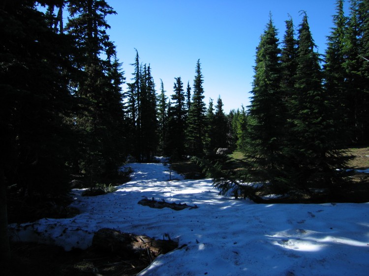
As part of our Twin Lakes overnight llama hike, Dmitri and I ran up to the top of Maxwell Butte, a 6,225 ft tall volcanic plug on the south end of the Mount Jefferson Wilderness. There was quite a bit of snow on parts of the trail on the way up.
On the ascent, we got some great views of Mount Washington, North Sister, Middle or South Sister, Broken Top, and another mountain to the south. A little in front of the mountains you can see the butte where Hoodoo Ski Resort is located.
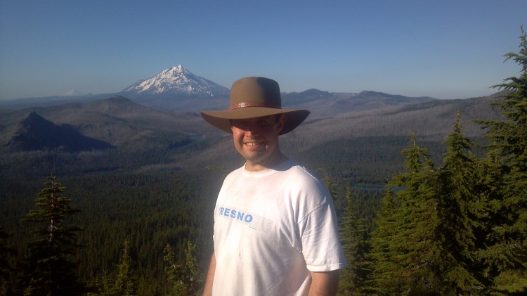
That’s Mount Jefferson to the north and a little to the left is Mount Hood.
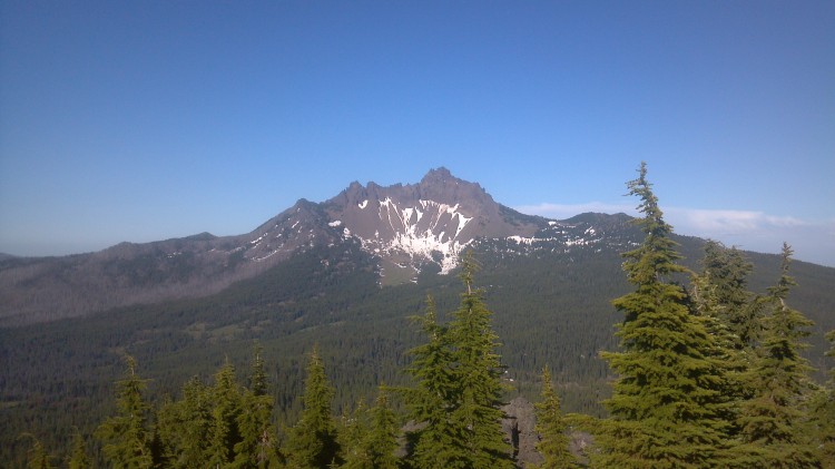
Three Finger Jack to the east.
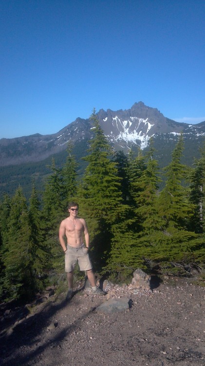
Dmitri decided he needed a good beefcake shot.
Howdy, y’all.
The geological survey benchmark set in 1928. I’m pretty sure the fine is much higher now.
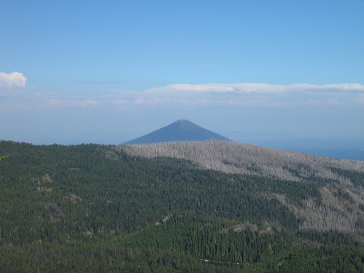
Black Butte in the distance.
A panorama at the top of Maxwell Butte. Click on it for a larger version.

