
My dad and I decided to hike into Crown Valley where he worked for a summer back in the 70s at the US Forest Service guard station. We went in for a few days to check out his old patrol area.
Lots of flowers and mosquitoes on the way from the trailhead up to the ridge guarding the entrance to Crown Valley.
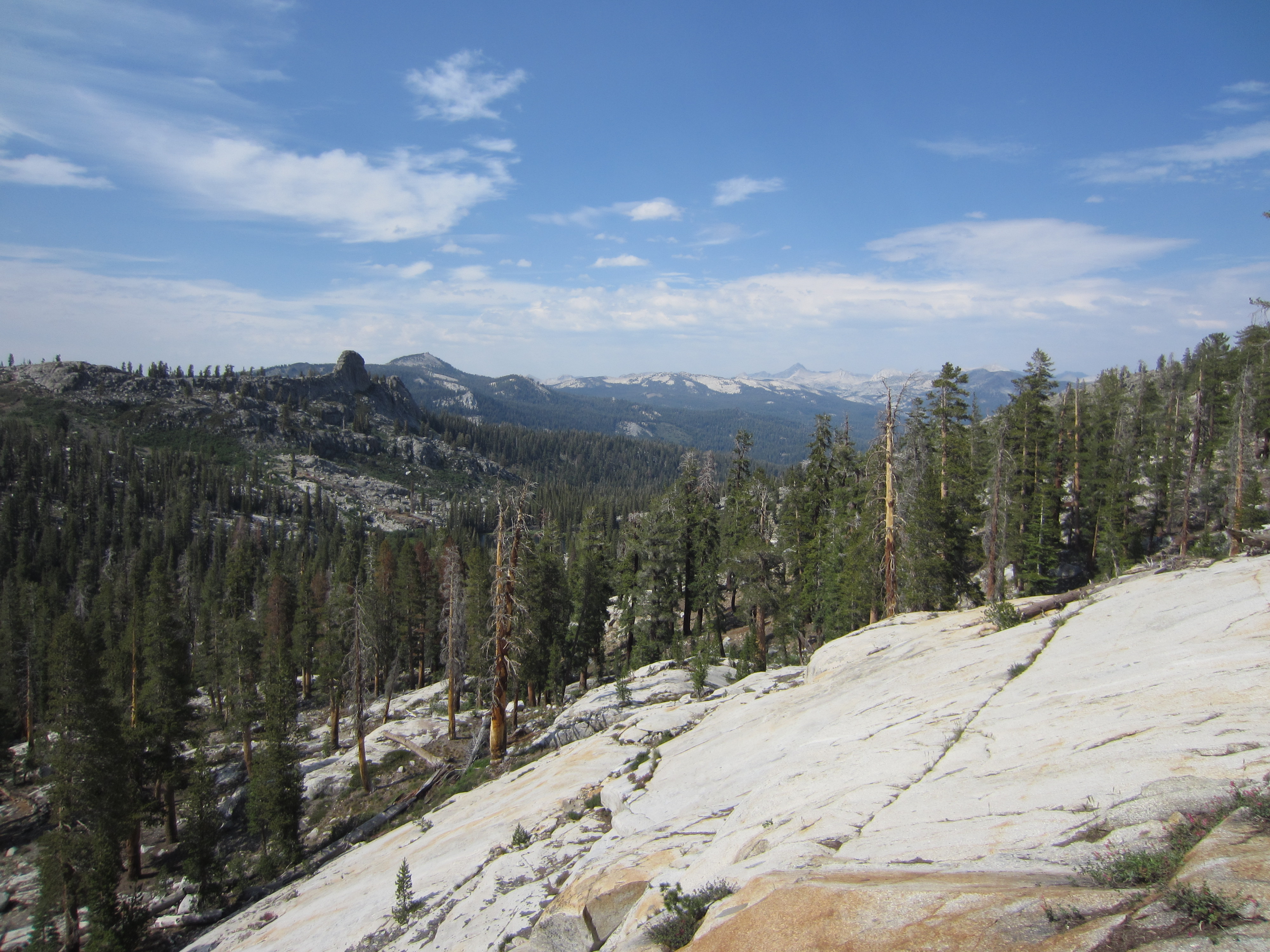
Crown Rock, the namesake of the valley.
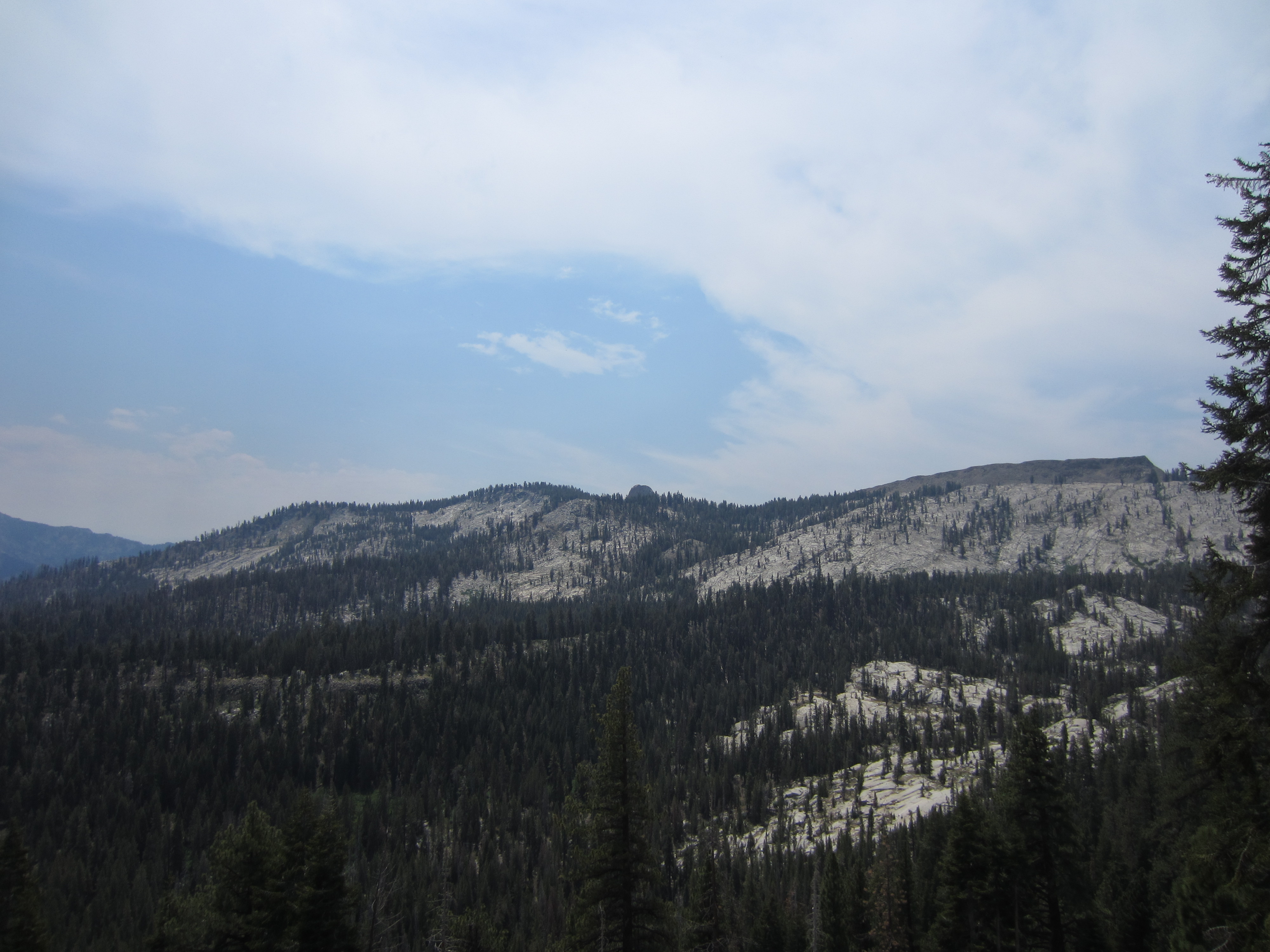
Looking south into Crown Valley. The Obelisk is poking up right in the middle of the frame.
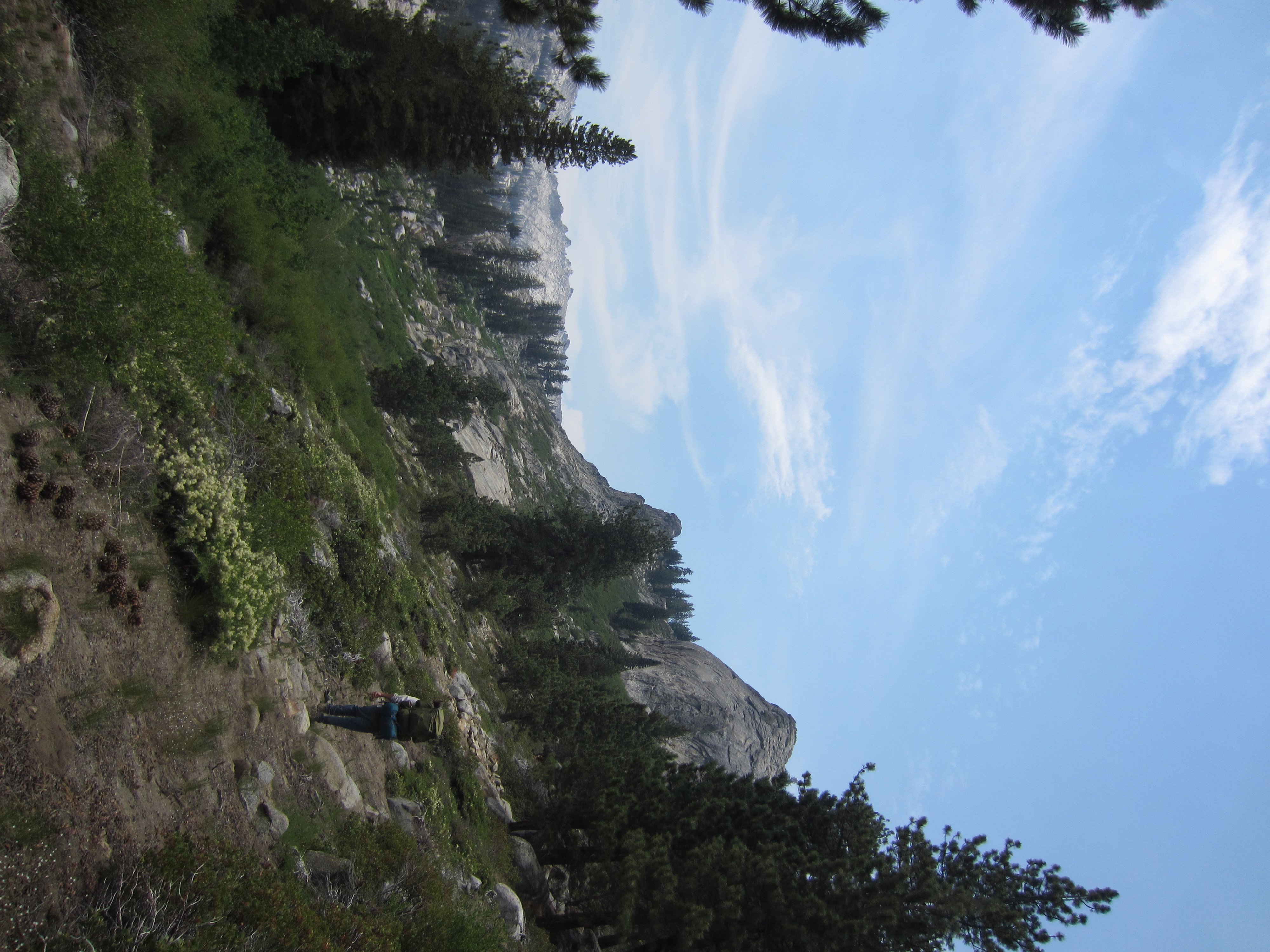
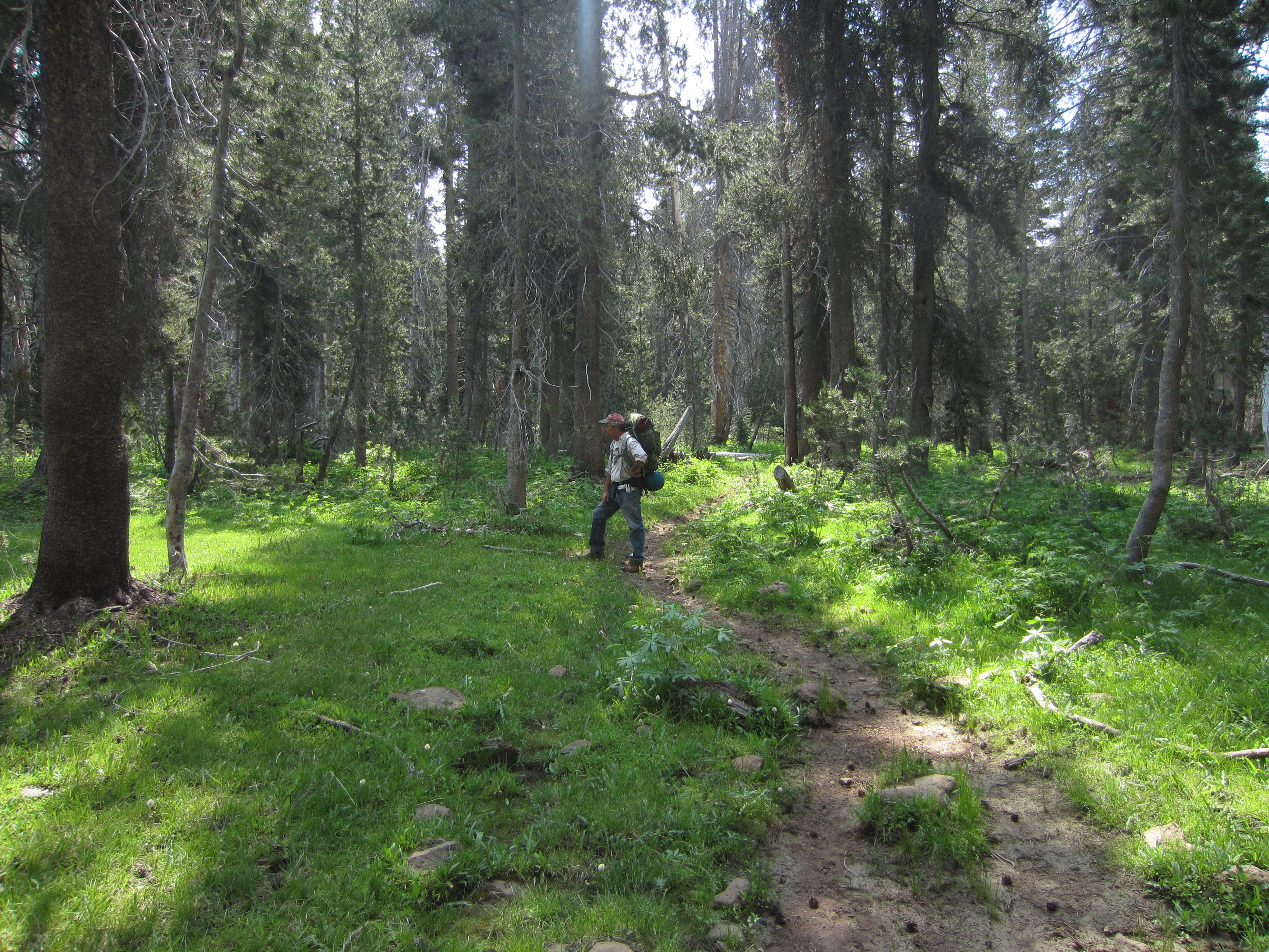
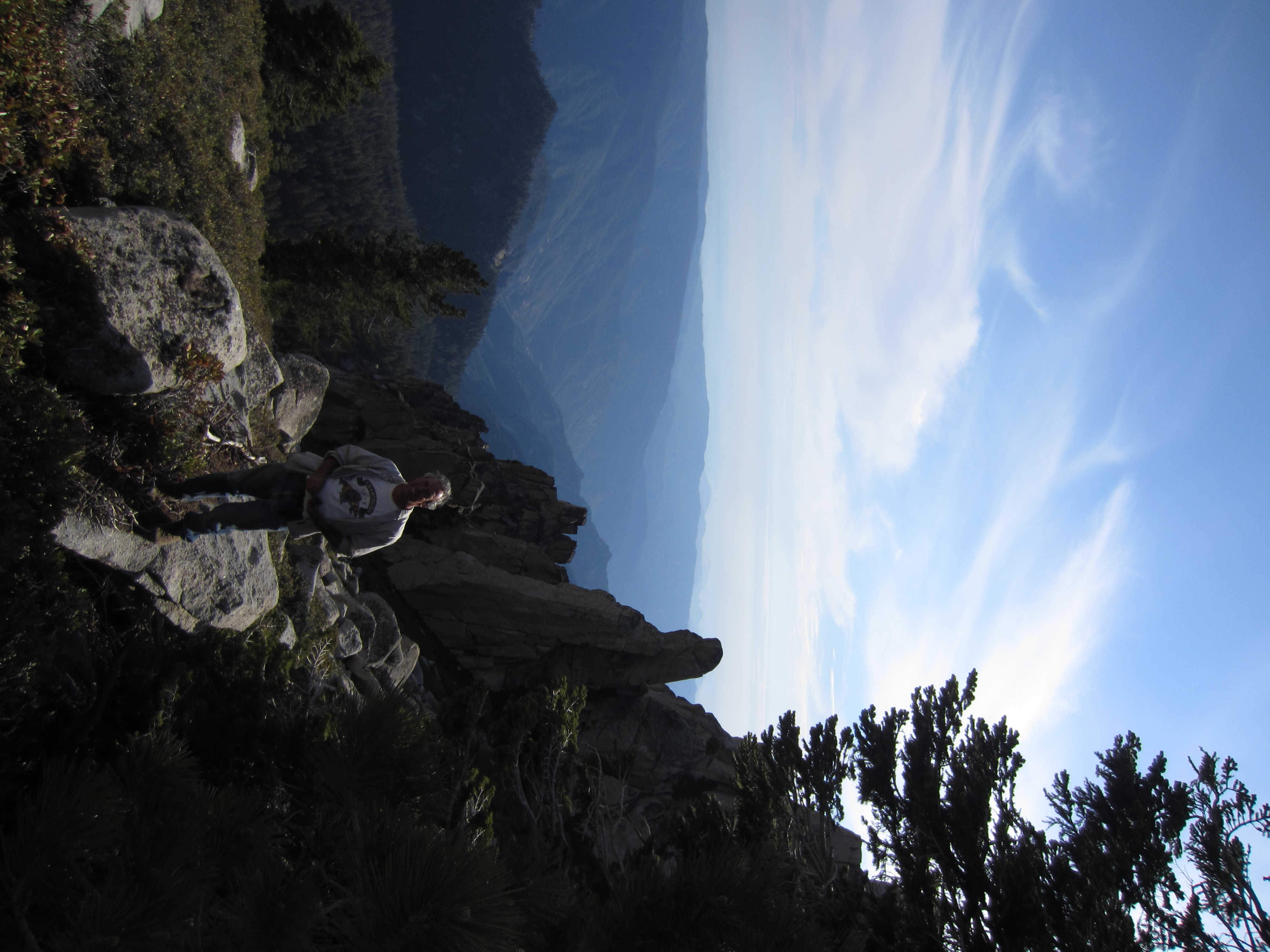
My dad hiking along the base of Fin Ridge toward Geraldine Lakes.
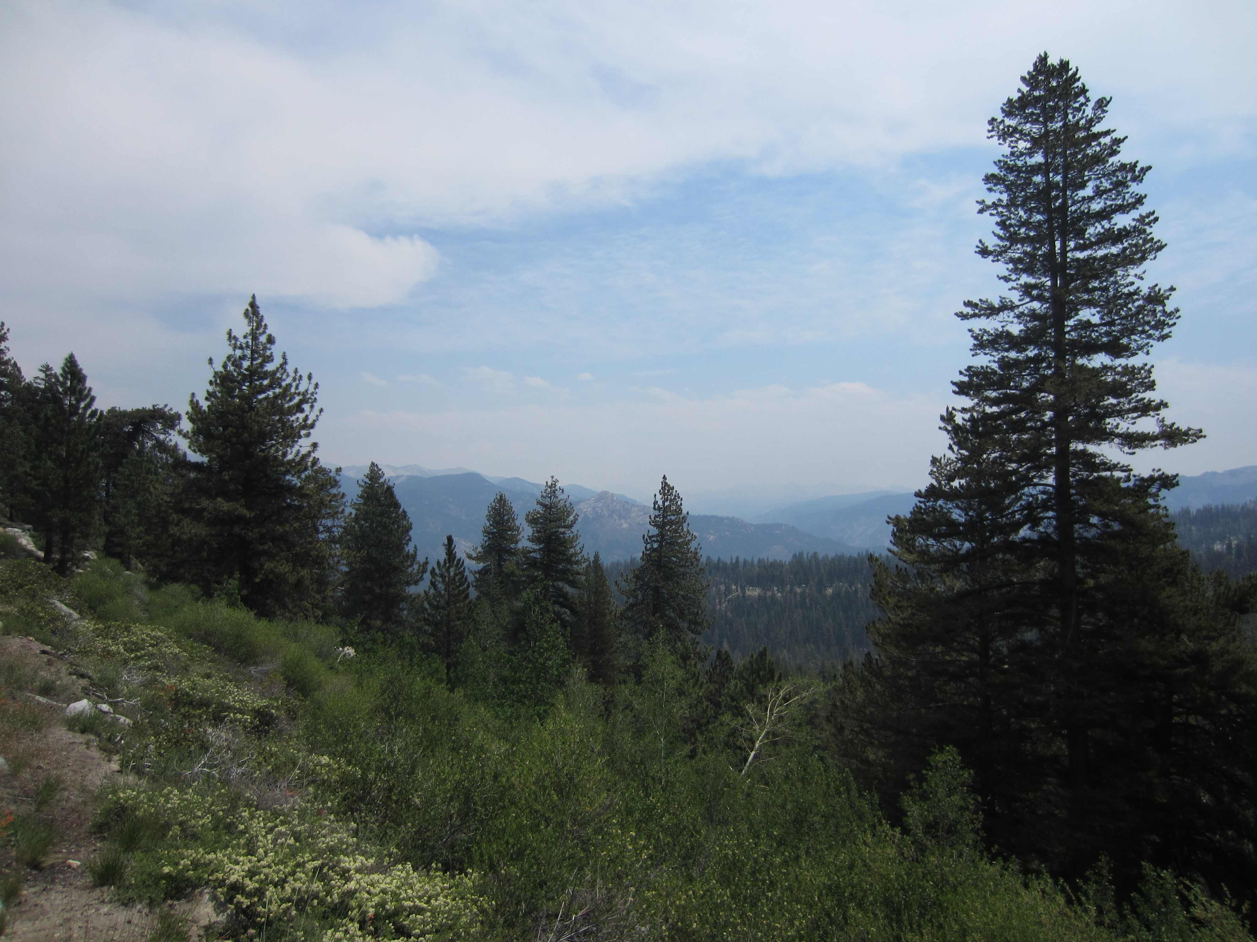
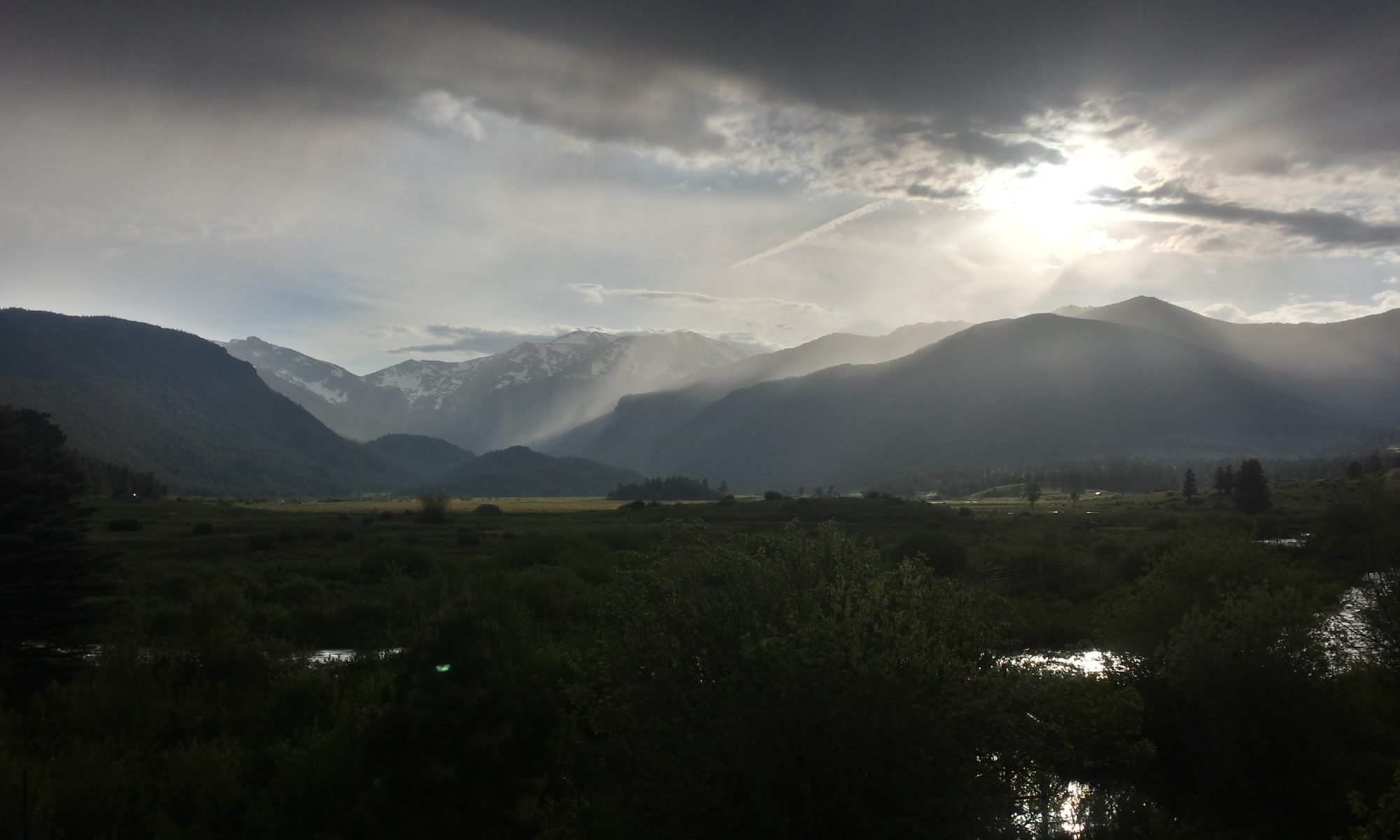
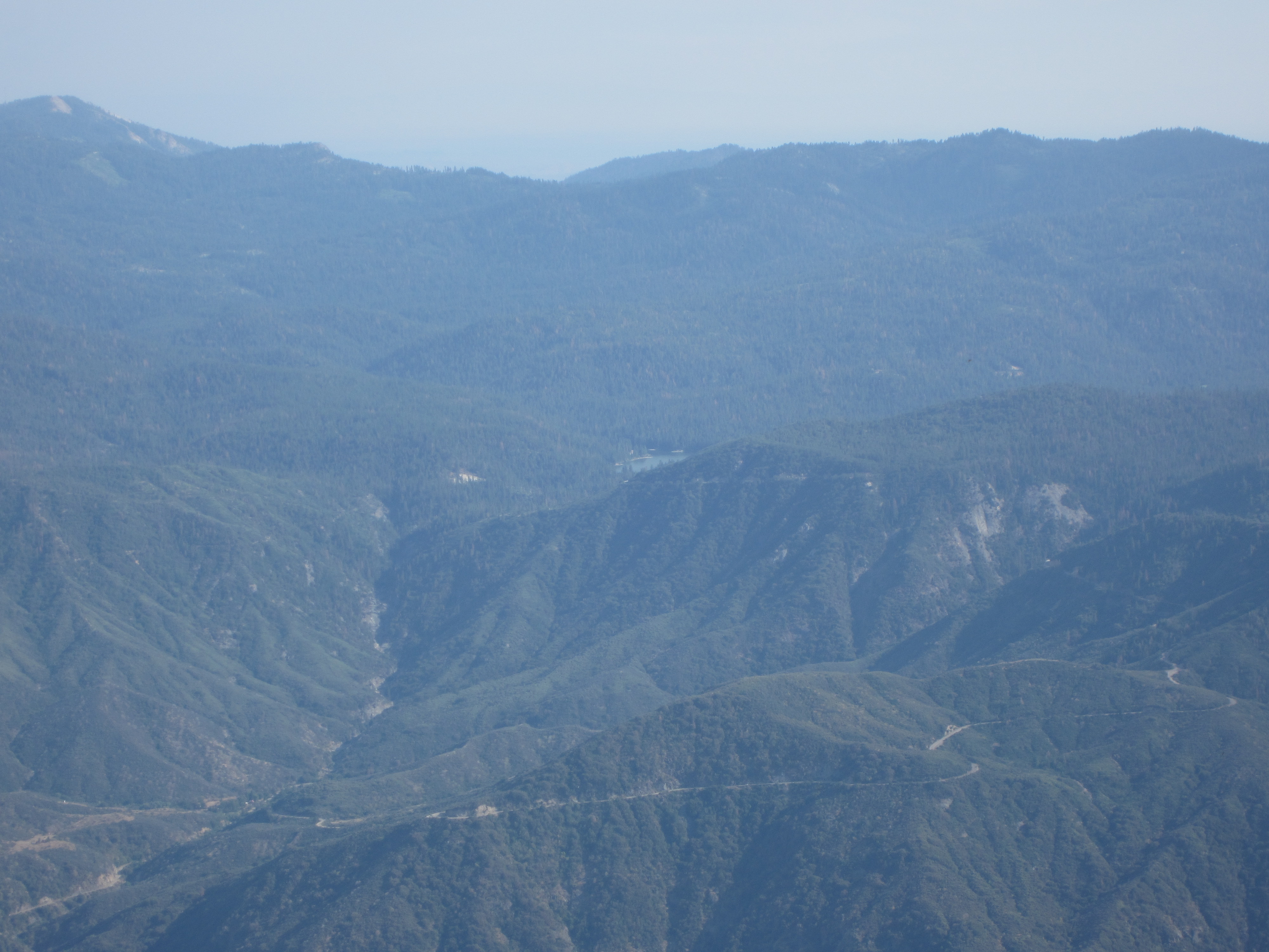
Looking out toward the Middle Fork of the Kings River.
Lots of interesting geology out here.
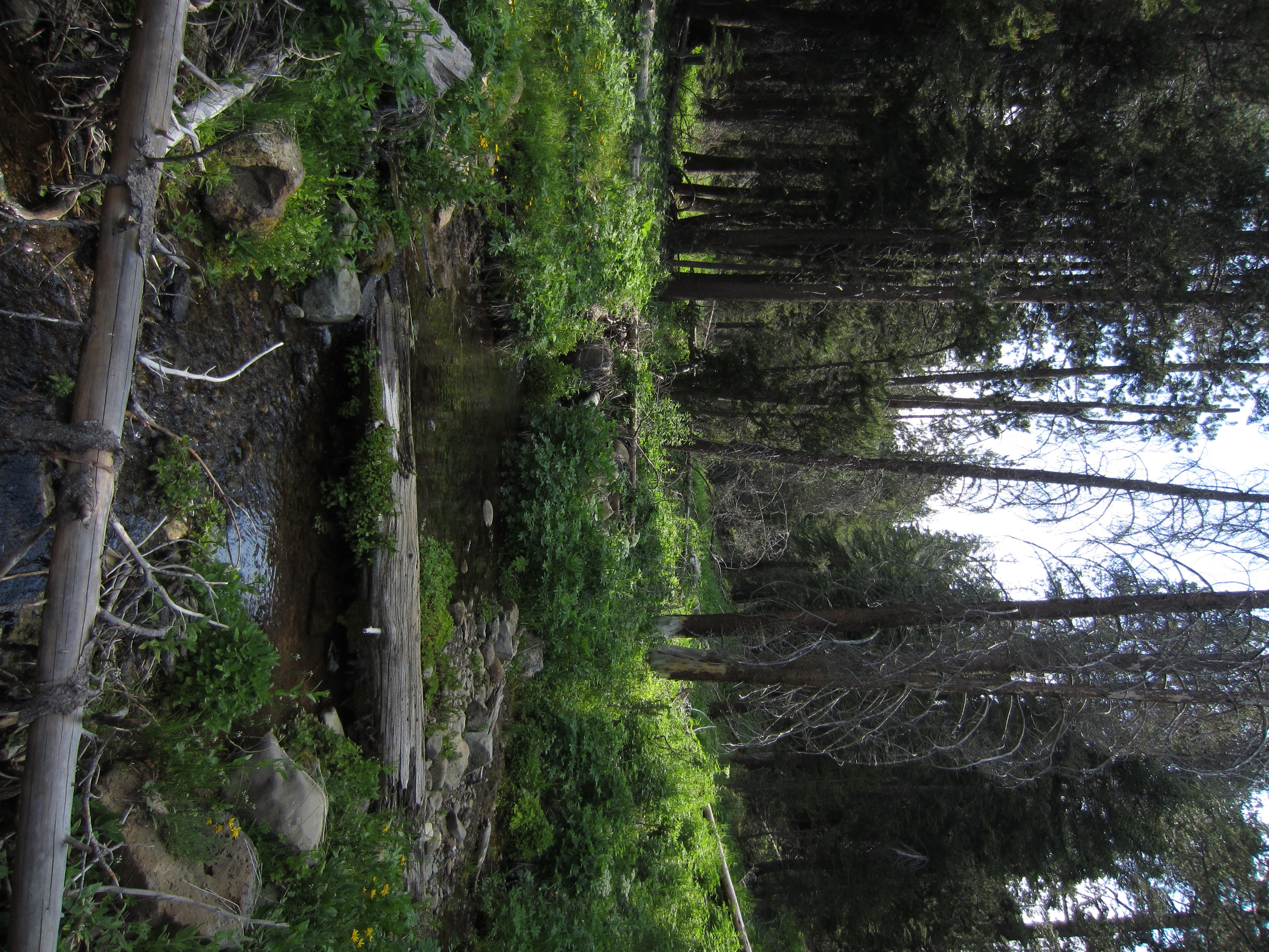
 Walking through a meadow down the drainage from Geraldine Lakes.
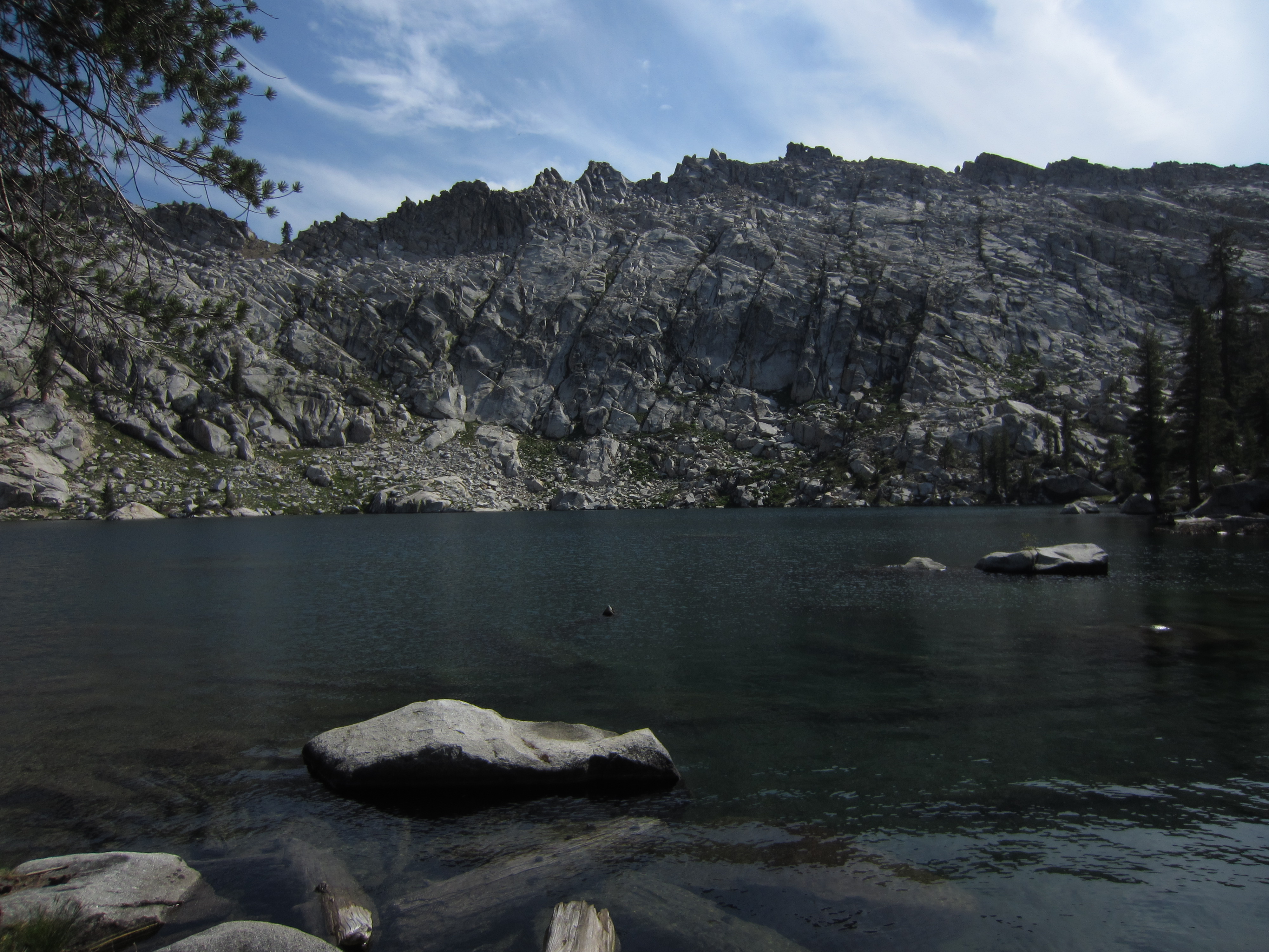
Lower Geraldine Lake.
We hiked up above Lower Geraldine Lake to check out the old mining prospect hole that was made in the 30s.

Looking down the shaft that a couple prospectors sunk over a summer.

Lots of small rock from the blasting.


Looking up toward where the miners used to camp under a big rock.
Part of an old shovel. The prospectors left their gear here figuring that they would come back the next summer. The money must have run out because they never did get their gear.

Looking into the little cave where the miners camped for a summer.

The little hearth and griddle where they cooked and stayed warm. They even built in a chimney.

My dad sitting in the little alcove.

Looking out from where the miners camped.
We decided to hike around a bit more.

Lots of interesting geology. There is a metamorphic intrusion into the granite here. Lots of nutrients in the soil here make for lush meadows where big trophy bucks and plenty of does like to hang out.

Walking through the deep, lush understory.
Plenty of wildflowers.

We found a spring here in the rocks with plenty of cold, flowing water.
Back down at Lower Geraldine Lake where we setup camp.
Looking down the drainage into Crown Valley. The big mountains in the background tower above places that I hiked before. What a beautiful view with all of this lovely white granite.
Those mountains are up in Crown Basin and Black Cap Basin, if I have my geography correct.
We hiked up to Upper Geraldine Lake after lunch to check it out. This is a higher lake that is more alpine than where we pitched our tent at Lower Geraldine Lake.

What a pretty lake and circ.
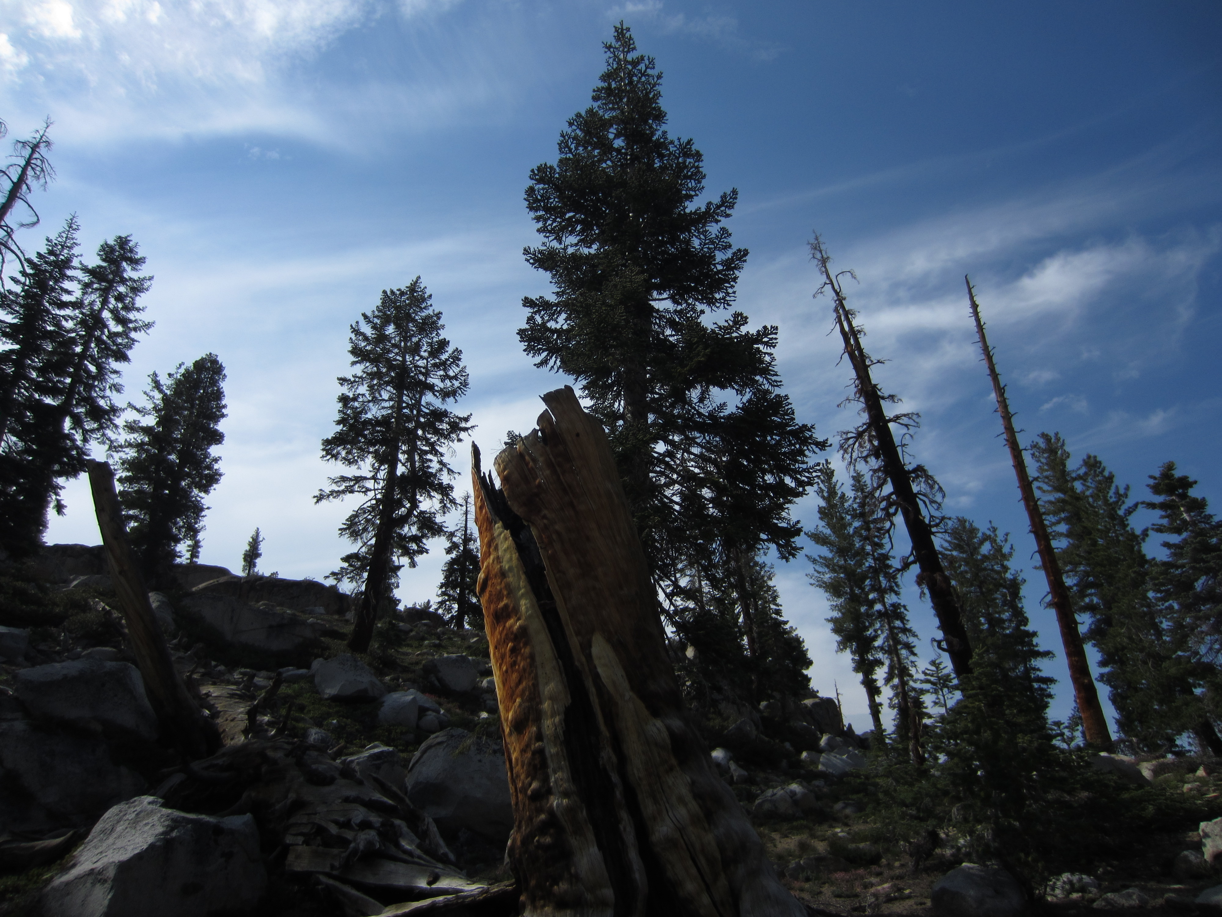
A beautiful old weathered stump on the hill on the right side of the lake.

Looking down the drainage.
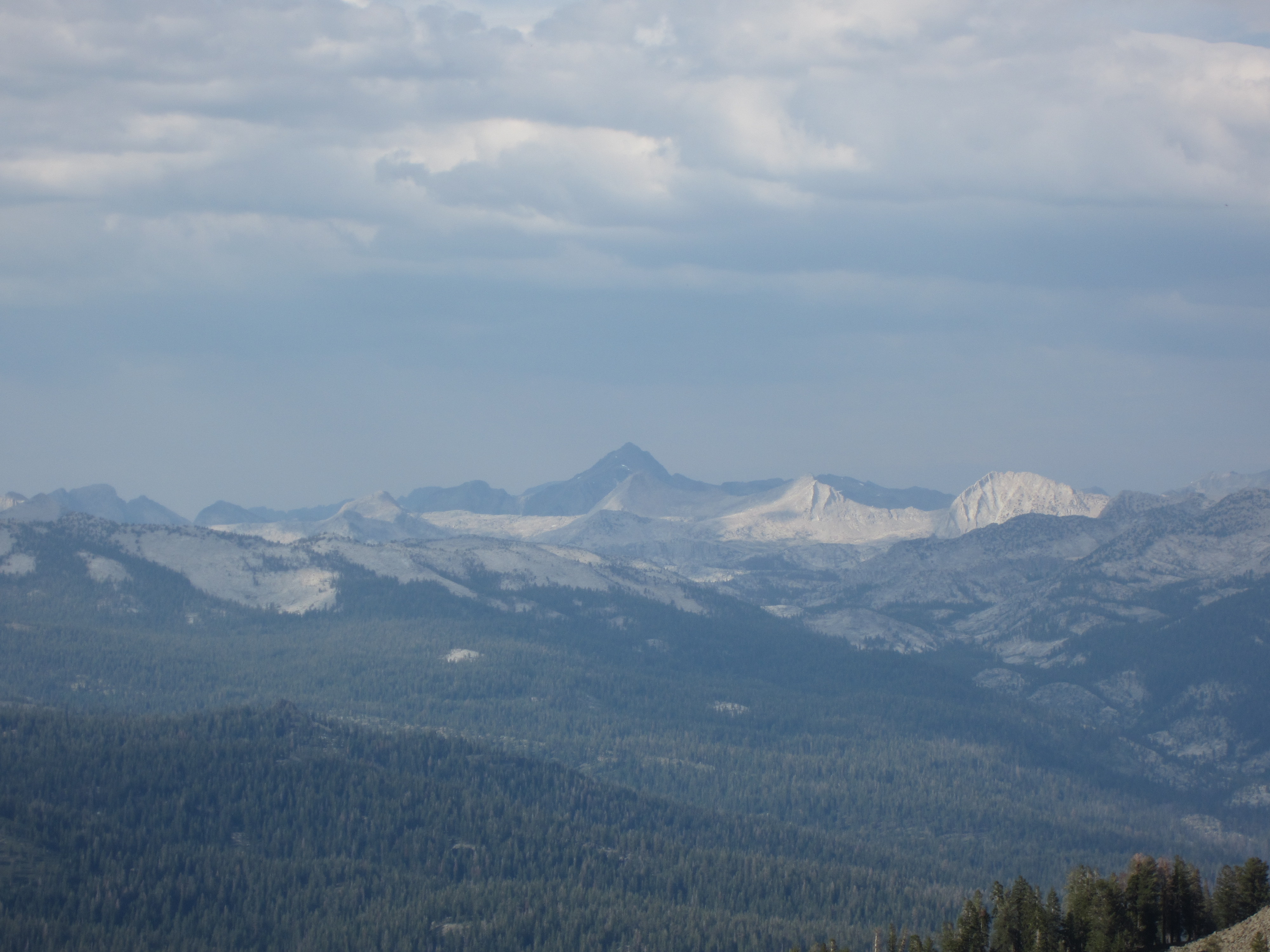
Looking out into the high country in the Middle Fork of the Kings.
We hiked up to the notch between the drainage of the Geraldine Lakes and the Kings River (and Kings Canyon National Park). This is looking out toward the park.
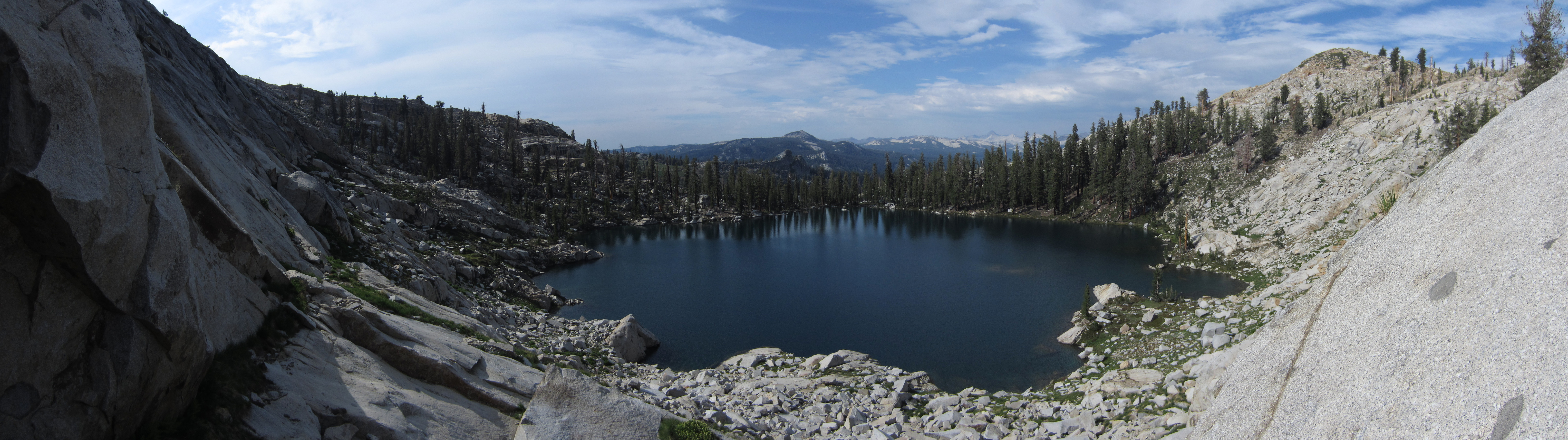
A panorama showing Upper Geraldine Lake on the left and Kings Canyon on the right with the ridgeline in the middle.
My dad looking out toward Kings Canyon. We are on the flank of Spanish Peak. Supposedly there’s an old lost Spanish gold mine down below us. No one has ever found any signs of it although many have tried. Since we were here, a fire came up out of the canyon and has burned over this whole area. Maybe someone will find the old mine now that all the brush and thick timber have been burned out.
The road into the park.

This might be Mount Goddard.

The big tree in the notch between the Geraldine drainage and Kings River. I hope the tree survived the fire.

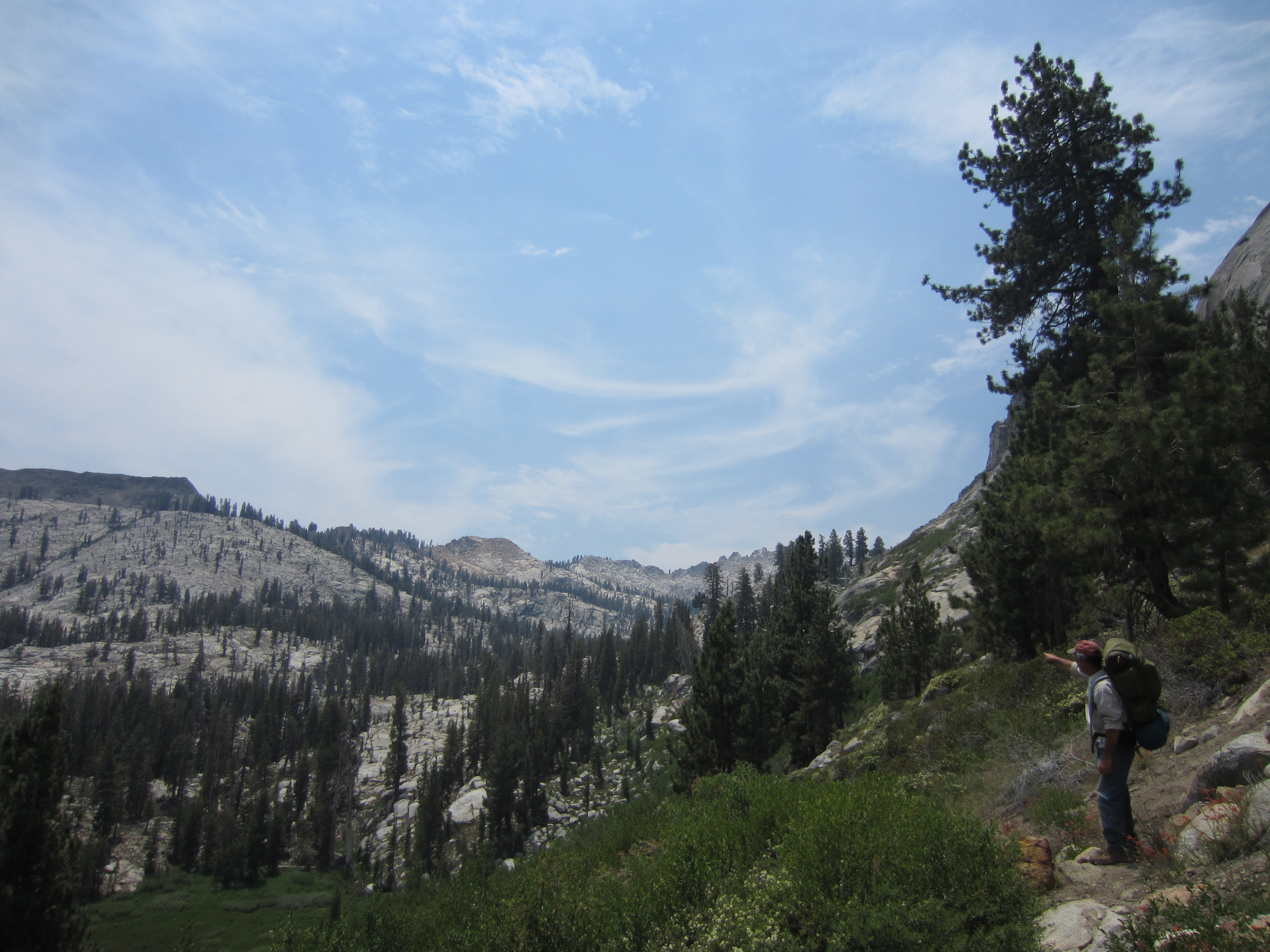
We decided to try to contour around the ridge toward the Obelisk in the next drainage over.

The tree standing guard in the notch.

We had trouble getting over to the far ridgeline. With the sun hanging low, we took a few photos and got ready to head down toward our camp.

The moon rising in the east.

Back down and Lower Geraldine Lake with Fin Ridge standing over the lake to the left.
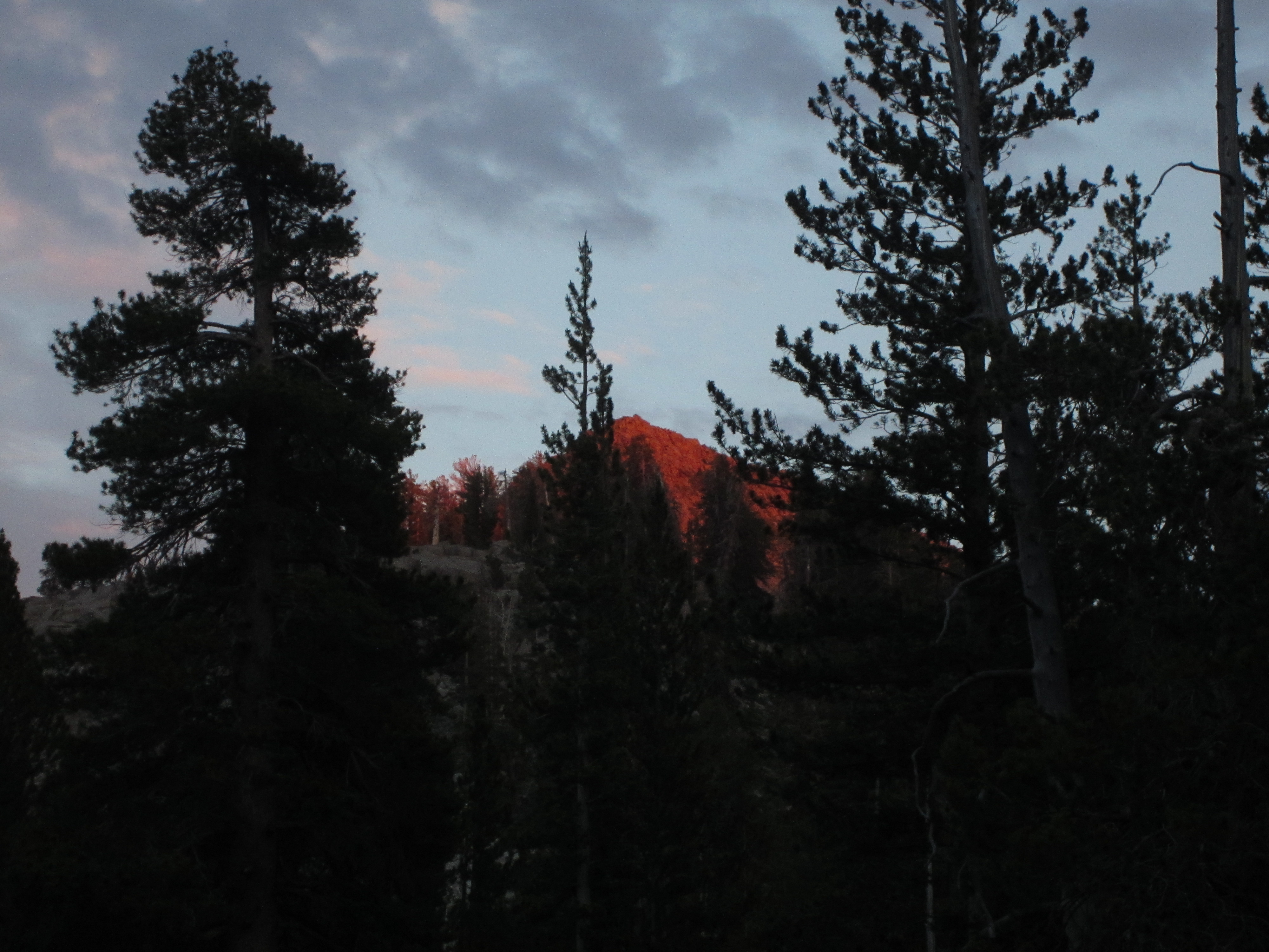
Alpenglow on the mountains around the lake. Time for bed!
Enjoyed your pictures (from several trips) and comments! Also enjoy this area – Rancheria TH, Maxson TH, Blue Canyon, Blackcap Basin, Confusion Pass, Upper Goddard Canyon, Hell For Sure Pass, Disappointment Lake, etc.
Thanks Robert! I try to get into the back country at least once most years.