Editor’s note: I am preserving Leland Sheppard’s PC800-related content after his passing. This is one of his pages that I felt the PC800 community would want to have preserved. Leland may be on his final Iron Butt ride but he is not forgotten.
Date of trip: Annually – mid-May to mid-June

Day One:
Start from Placerville.
If Mormon Emigrant trail is open:
Take US50 east to the Sly Park Road exit in Pollock Pines.
Take Sly Park Road south to the junction with Mormon Emigrant Trail.
Turn left (east) on Mormon Emigrant Trail to the junction with CA88.
Turn left (east) on CA88.
If Mormon Emigrant Trail is closed:
Take CA49 south to Martell.
Turn left (east) on Ridge Road toward Volcano.
Turn left (east) on CA88.
If we are meeting someone in Jackson:
Take CA49 south to Jackson.
Generally pull off at the junction of CA49 and CA88 and wait there.
Turn left (east) on CA88.
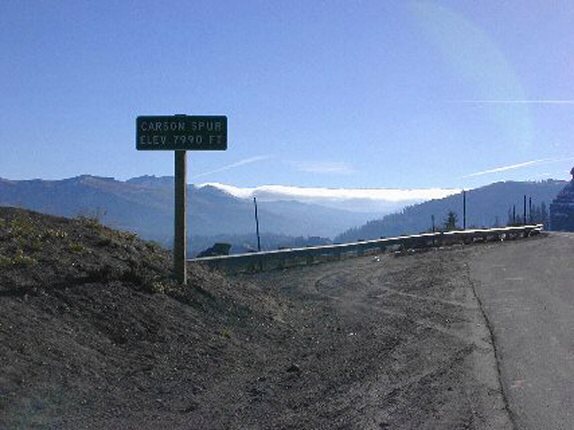
Go east on CA88 past Silver Lake to the sign for Carson Spur. This is the first summit at 7990 feet.
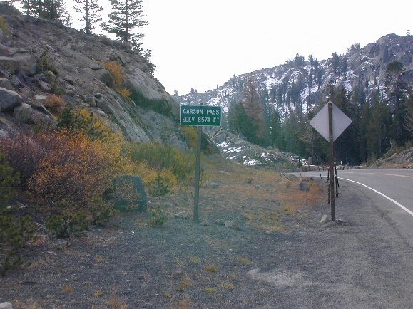
Continue east on CA88 past Kirkwood Ski Resort and Caples Lake to Carson Pass. This is the second summit at 8574 feet.
Continue east on CA88 through Hope Valley, past the junction with CA89 to Tahoe, down the canyon to Woodfords.
Turn right (south) on CA89/CA4 (toward Markleeville).
Continue south on CA89/CA4 until CA89 splits.
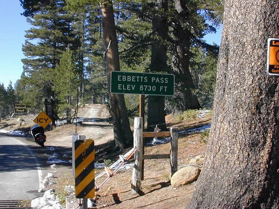
Continue west on CA4 to Ebbetts Pass. This is the third summit at 8730 feet.
Continue west on CA4 to Pacific Grade Summit. This is the fourth summit at 8050 feet. (no picture available)
Continue west on CA4 through Arnold and Murphys to Angels Camp and the junction with CA49.
Turn left (south) on CA49 at the stop sign.
Go south on CA49 to Sonora and the junction with CA108.
Take CA108 east.
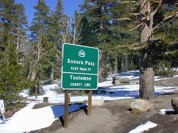
Continue on CA108 east to Sonora Pass. This is the fifth summit at 9624 feet.
Continue on CA108 east to the junction with US395.
Turn right (south) on US395. Continue on through Bridgeport and Lee Vining to the junction with CA120.
Turn right (west) on CA120 and climb up to the top of Tioga Pass (9945 feet). This is the sixth summit.
The pass will be closed so when we’ve gone until the road is blocked, turn around and head back for Lee Vining.
Turn left (north) on US395.
Turn left into Mono Vista RV Park. This is where we pitch our tents for the night. Park has nice grassy sites. They have nice bathrooms and showers as well. Clean, well kept up park. There are also motels in Lee Vining, if you don’t feel like tenting.
Total distance for day 1: 381 miles
Day Two.

Turn right (south) on US395 to the junction with CA120.
Turn right (west) on CA120 and ride to the top of Tioga Pass.
Turn around and head east on CA120 back to US395.
Turn right (north) on US395 and go to the junction with CA270 (Bodie Road).
Turn right (east) on CA270 and ride 13 miles to Bodie; the last 3 miles are washboard gravel.
Tour Bodie – last of the gold mining camps – largest ghost town in California.
Leave Bodie and head west on CA270.
At the junction with US395, turn right (north).
Turn left (west) on CA89.
Continue west on CA89 to Monitor Pass. This is the seventh summit at 8314 feet.
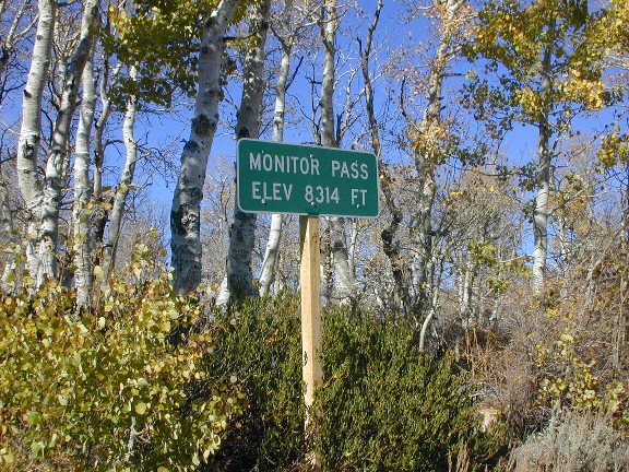
Continue west on CA89 to the junction with CA4.
Turn right (north) on CA89/CA4.
Continue on CA89 (through Markleeville) to the junction with CA88 (at Woodfords).
Turn left (west/north) on CA88/CA89.
Continue on CA88/CA89 to the junction with CA89.
Turn right (north) on CA89 (toward Lake Tahoe).
Continue north on CA89 to Luther Pass. This is the eighth summit at 7740 feet.
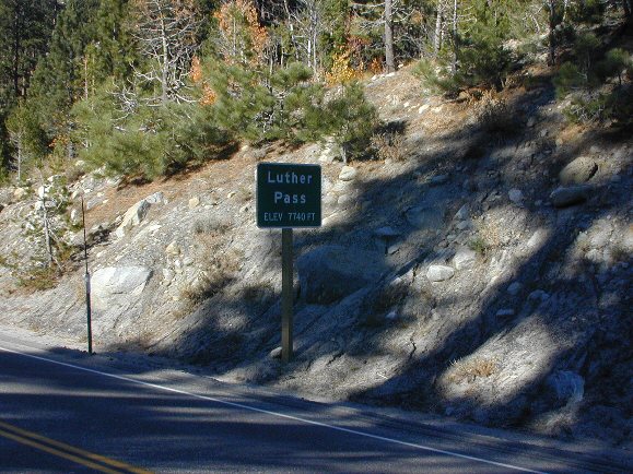
Continue north on CA89 to the junction with US50 (at Meyers).
Turn left (west) on US50.
Continue west on US50 to Echo Summit. This is the ninth and final summit at 7382 feet.
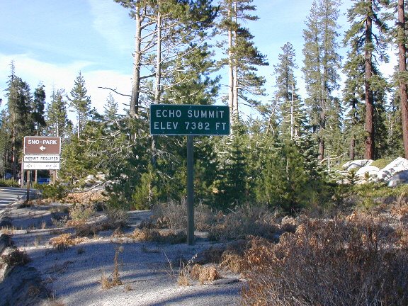
Continue west on US50 to Placerville.
If you count the two crossings of Conway Summit at 8125 feet on the way to and from Lee Vining, that makes eleven summits total. And if you count the second day’s climib up Tioga Pass, that makes twelve. We counted all of them.
Total distance for Day 2: 245 miles.
Gasoline:
There are a number of other gas stops along the way.
Cautions:
The roads through the passes, particularly Ebbetts and Sonora, are VERY narrow. In some places it is one wide lane. You need to watch carefully for oncoming traffic.
If you are going very early or very late in the season, you might find sand on the road (as I did) in many places as you get near the tops; they use it to give traction when it is slippery…
If you are going early or late in the season, dress very warmly.
Summary:
The views are breathtaking at every turn. Pure eye and soul candy. Great motorcycling on these roads. Lots of corners for folks like me that love them.
We do this trip every year that we can.
Most of these passes are closed in the winter so it pays to check with Cal Trans Road Information before going to be sure that the roads are open.
