Today Carl and I went on a bit of an adventure. The goal was to collect more covered bridges for my covered bridge photo project. We visited Hayden Covered Bridge, Fisher Covered Bridge, North Fork Yachats Covered Bridge, and Wildcat Creek Covered Bridge. There were a few more on our list but the weather was getting ominous and we were pretty beat up from the ride so we called it a day and headed back to Corvallis after only four bridges. Prior to the ride, I consulted several maps of the Central Coast Range to make sure the roads we would be traversing were at least somewhat paved. It turns out that on-the-ground road conditions vary greatly from what is printed in official maps.

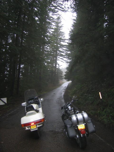
Somewhere east of Cape Perpetua. We rode on National Forest Development roads from Fisher to Yachats. While the map said that they were all paved, we found several were only partially paved or otherwise in poor repair. The roads were all covered in forest detritus which made for incredibly slick riding. Many times our front or rear wheels lost traction and began to slide out from under us. By sheer determination, riding skill, and luck we managed to not dump our bikes. The gusting wind didn’t help matters.
Along the way we spied a couple of old vans parked on a side road with several shifty guys moving agricultural equipment. It appears that we spotted the starts of a pot grow. Stay classy, Mexican drug cartels.

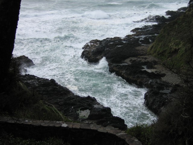
At Cape Perpetua we stopped in at Devil’s Churn for a bathroom break and to add extra layers of warmth. The wind was ripping along the coast. It caused us some problems. Within a 100 foot stretch of road, the wind direction could completely reverse three times. Being whipped back and forth is really punishing on the body. I’m surprised I didn’t get whiplash from a few of the more violent gusts that not only sent my bike careening to one side or the other but also snapped my head 90 degrees.


Devil’s Churn was really active with the big storm barreling down on the coast.


