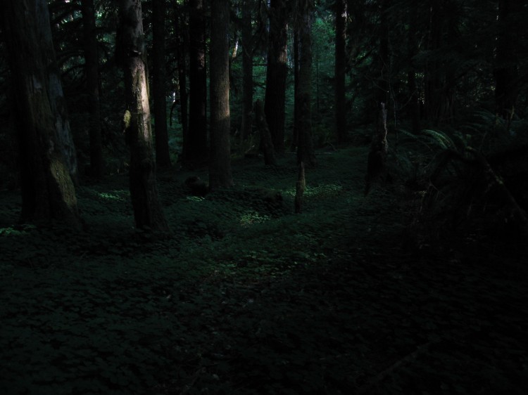
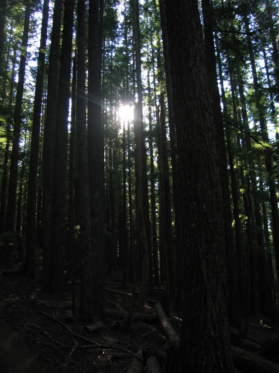
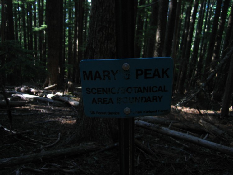
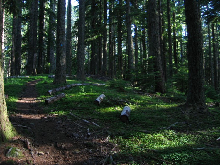
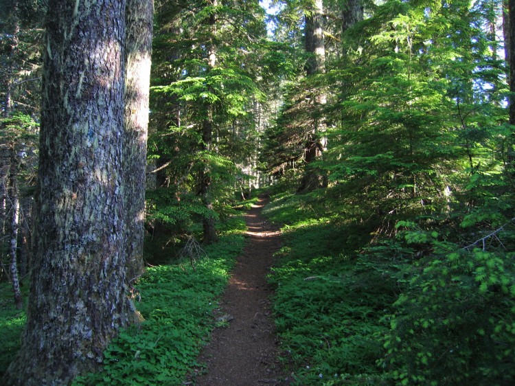
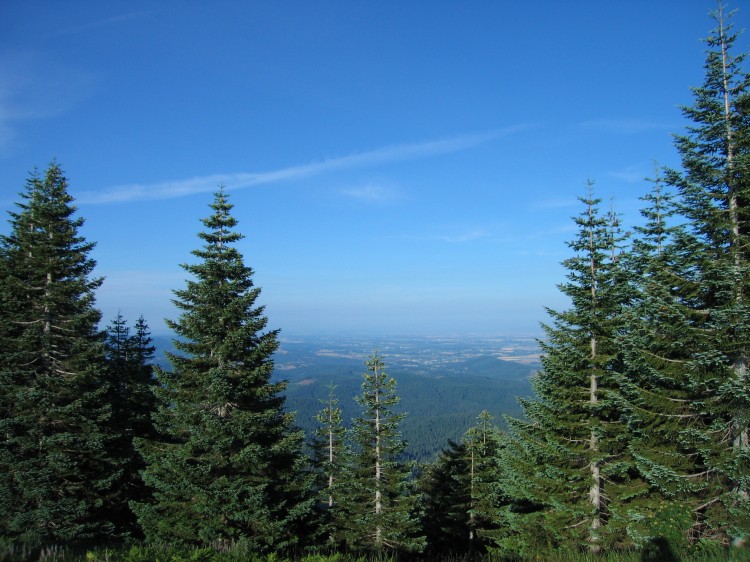
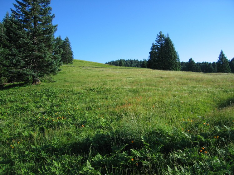
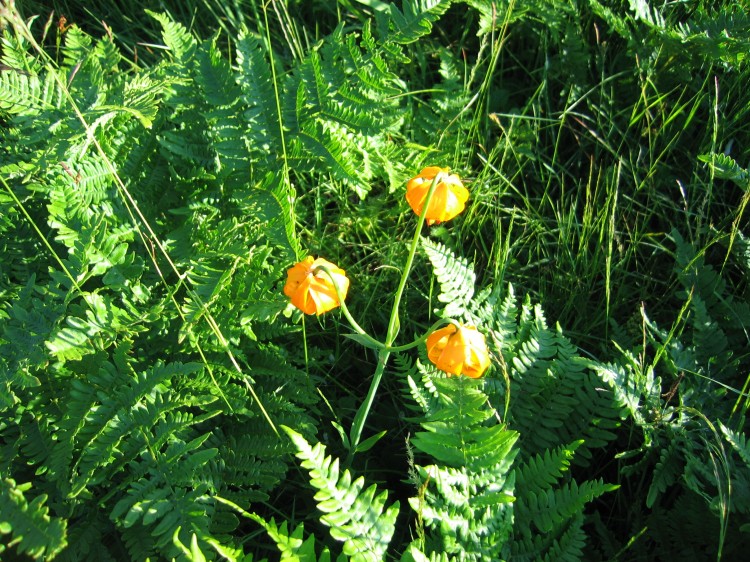
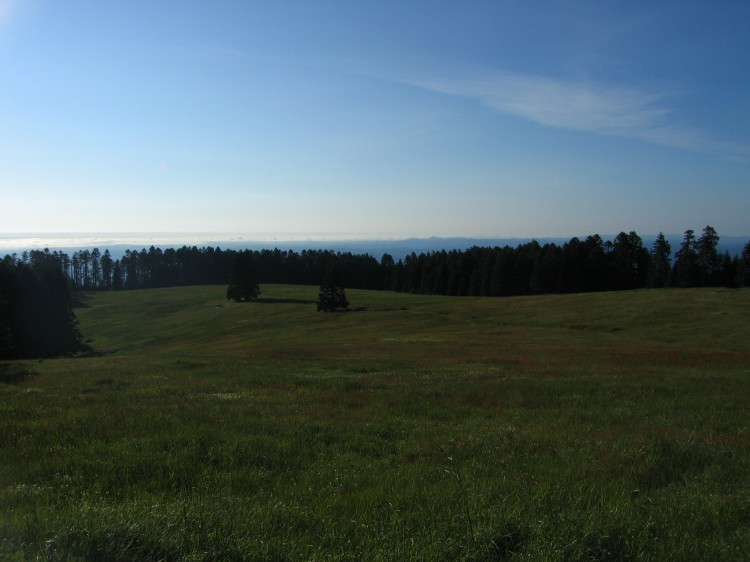
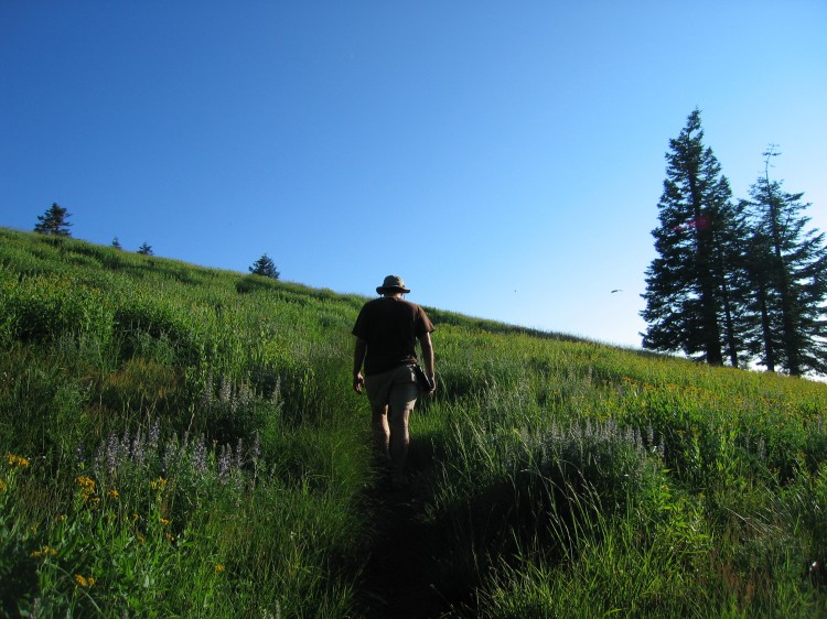
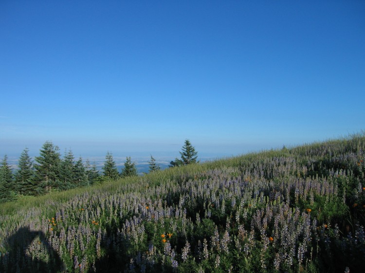
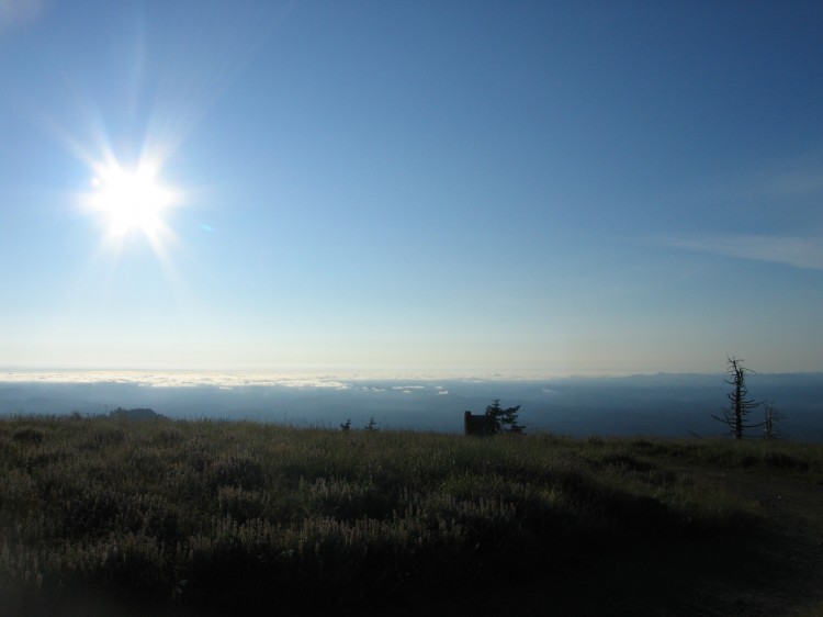
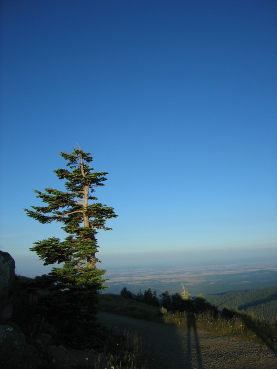
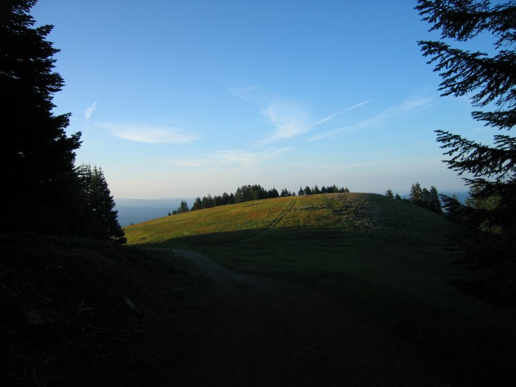
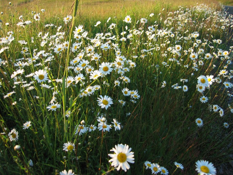
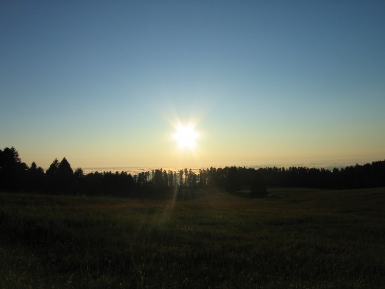
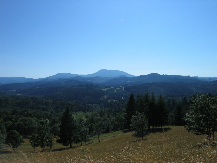
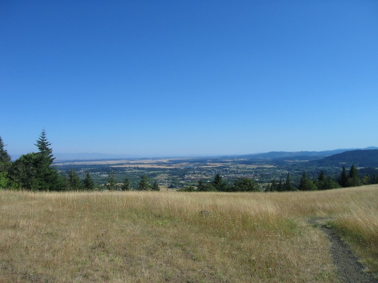
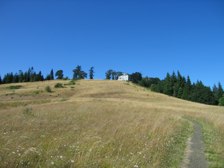
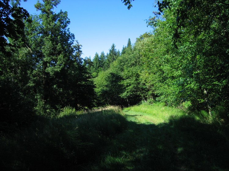
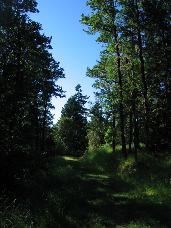
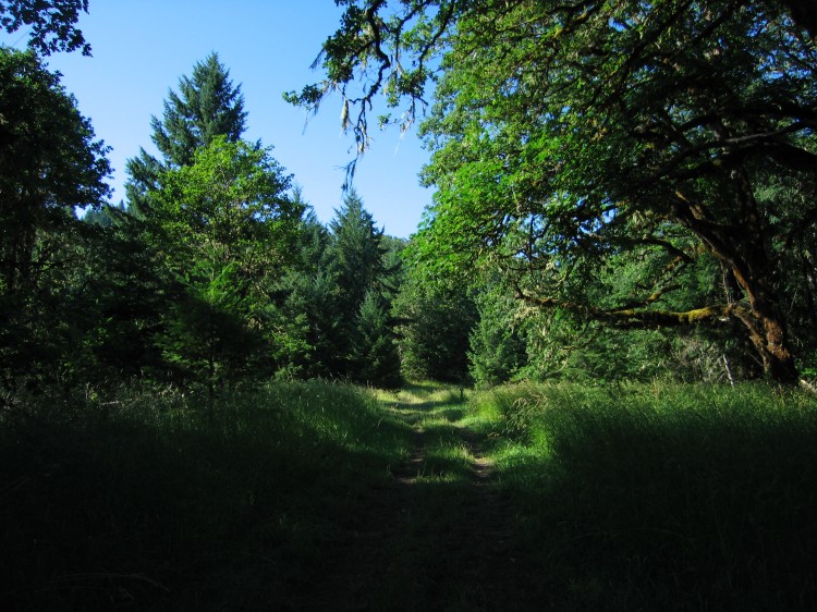
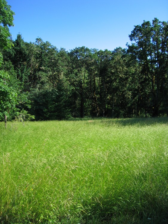
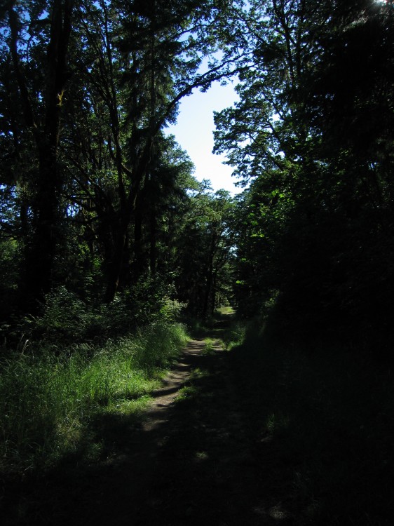
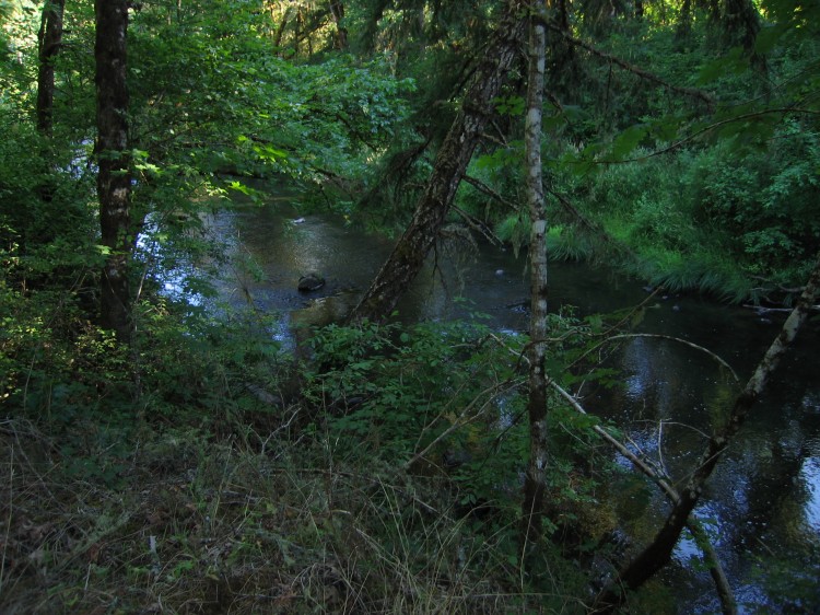
Toward the end of last week, Melissa, Jonathan, and I went out to Chip Ross Park for a short walk. Oregon continues to amaze me even after 28 years with how stunningly beautiful it can be. If only it could be summer the whole year.
North Ridge Trail to Marys Peak
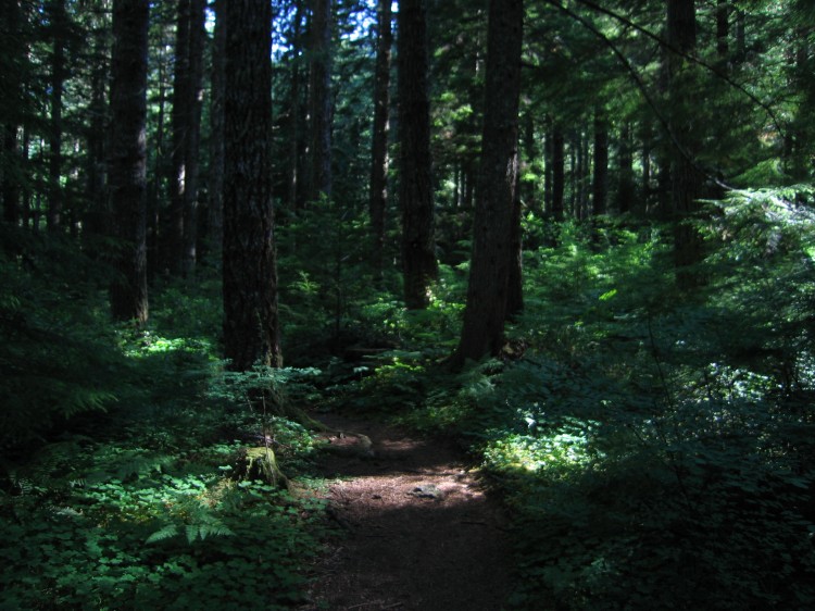 This evening Adam and I hiked the North Ridge Trail and Summit Trail to the top of Marys Peak. According to the internet, North Ridge Trail is a 7.7 mile round trip and Summit Trail is 1.5 miles. I would hazard a guess that these numbers are low. We were hiking at a 3.5 mph pace up and it took us roughly two hours to reach the summit. Coming down it took 1.5 hours and we were moving much more quickly. So I suppose an estimate of about 10 miles for the whole round trip would be about right. Certainly the roughly 2500 feet of elevation gain and loss was a nice workout. The 30 lb pack I was carrying helped, too.
The entire time we were hiking and up on top of Marys Peak we didn’t see another person. Due to the road closure this summer, the summit has been practically deserted. I will be heading back up Marys Peak real soon. It is such a treat to enjoy the hike and the summit without anyone else being up there.
Hiking up is a near vertical experience.
At the upper parking lot. Corvallis and Philomath are in the distance.
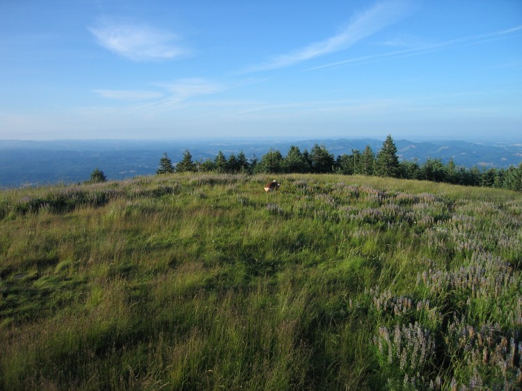
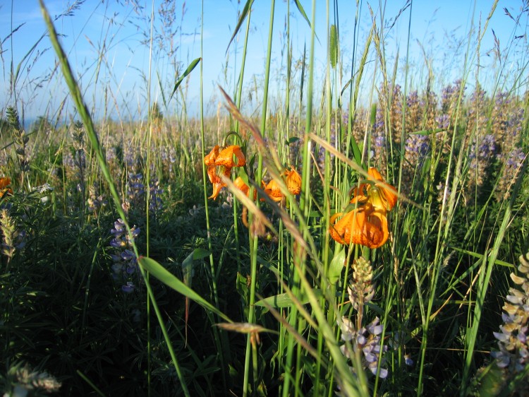
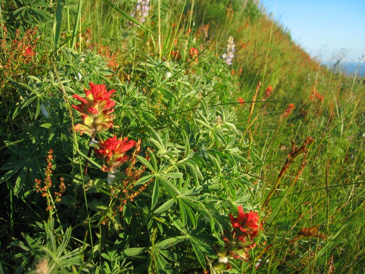
The wildflowers are still amazing up on Marys Peak.
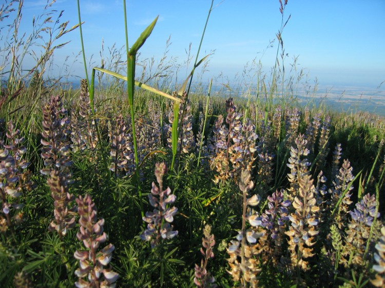
Lupine abounds at the top.
Somewhere out there is Japan.
Corvallis is that way.
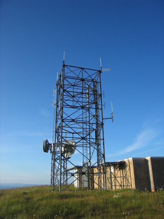
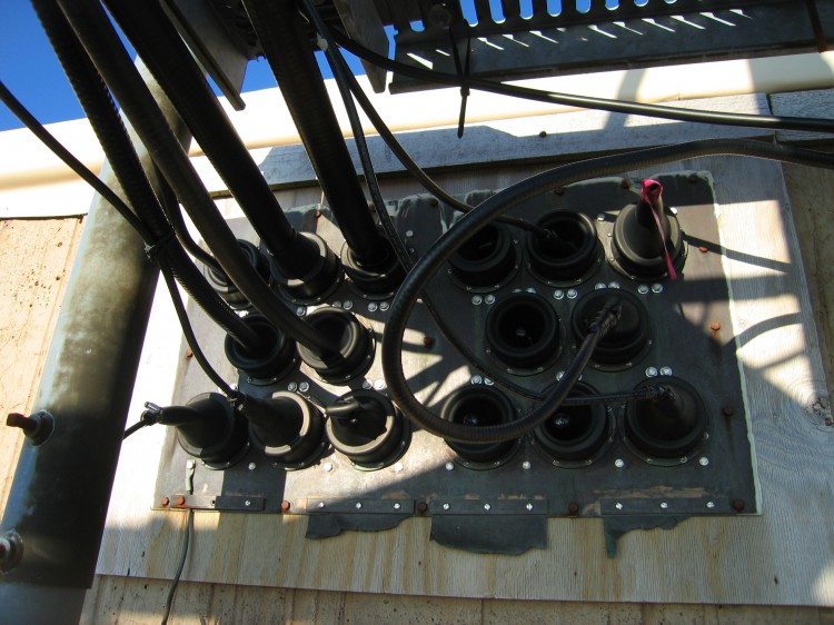
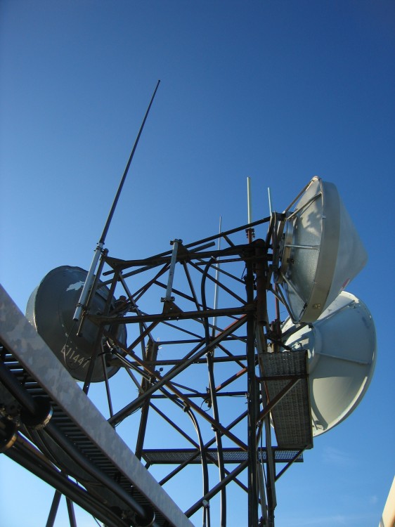
Transmitters on top.
Lupine close-up.
My shirt was drenched in sweat when I reached the summit. I consumed 100 oz of water and about a shot glass worth of salt on the way up. On the way down I took another quart of water but no salt.
Hiking down we were able to make it to within a mile of the car before we had to pull out a flashlight. Not bad for an afternoon hike. I’m looking forward to going out there again real soon.
Fitton Green Natural Area and the Western End of the Cardwell Hill Right-of-Way
This afternoon I went trail running in an area I’ve never visited before. The Fitton Green Natural Area is part of the Greenbelt Land Trust. Fitton Green is just outside of Corvallis. There were only two other cars in the parking lot. I don’t understand why this place isn’t swarmed with people. It is absolutely gorgeous! You can see Marys Peak from the grasslands at the top of the hill.
Philomath is down that way.
A house up on top of the hill. It’s too bad that the parcel the house sits on wasn’t purchased for the Greenbelt Land Trust.
 A panorama of Marys Peak and associated hills to the south. Click through for the full-size version.
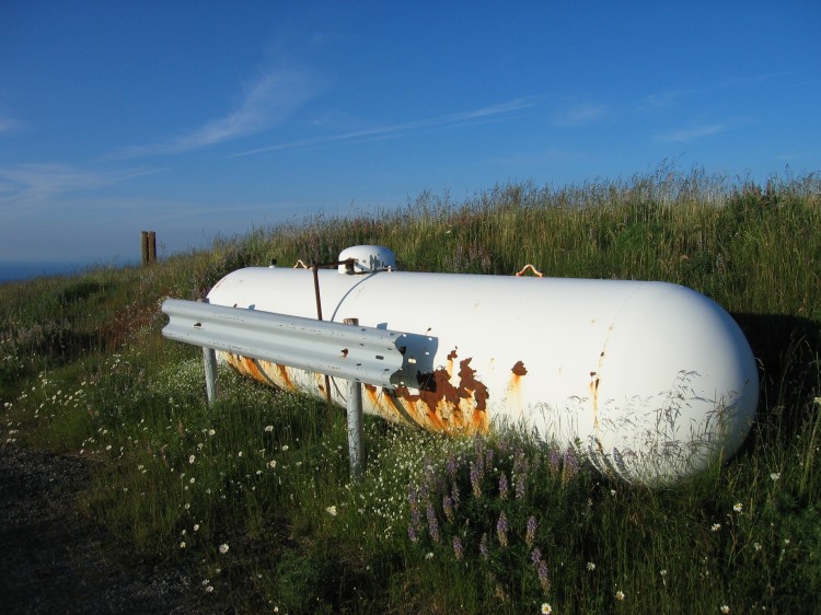
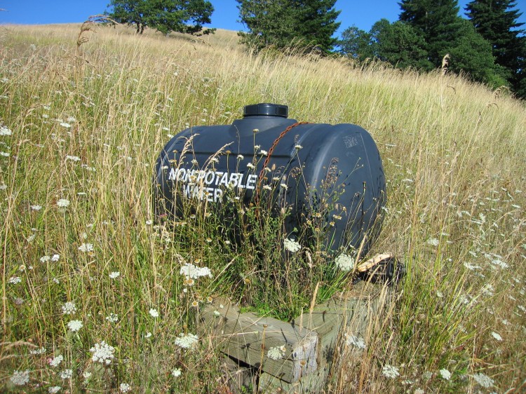
Random non-potable water tank I found.
I then proceeded away from Fitton Green and down onto the western half of the Cardwell Hill Right-of-Way. I walked all the way out to the gate near the hamlet of Wren. It’s a great little run through oak woodland and oak savanna.
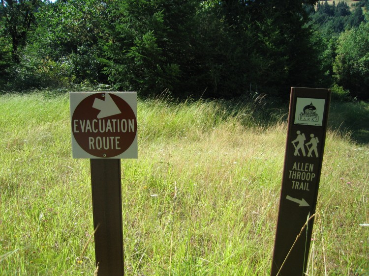
Oddly there were these evacuation route signs along the way. I suspect that this path is the way people would escape a wildfire if one were to cut off the only normal road access to the area. With the tinder dry grass higher up on the hill, that is a real possibility.
The grass is amazing this year. I wanted to lay down in it and take a nap but kept on going.
The Marys River runs along the right-of-way for part of the distance.
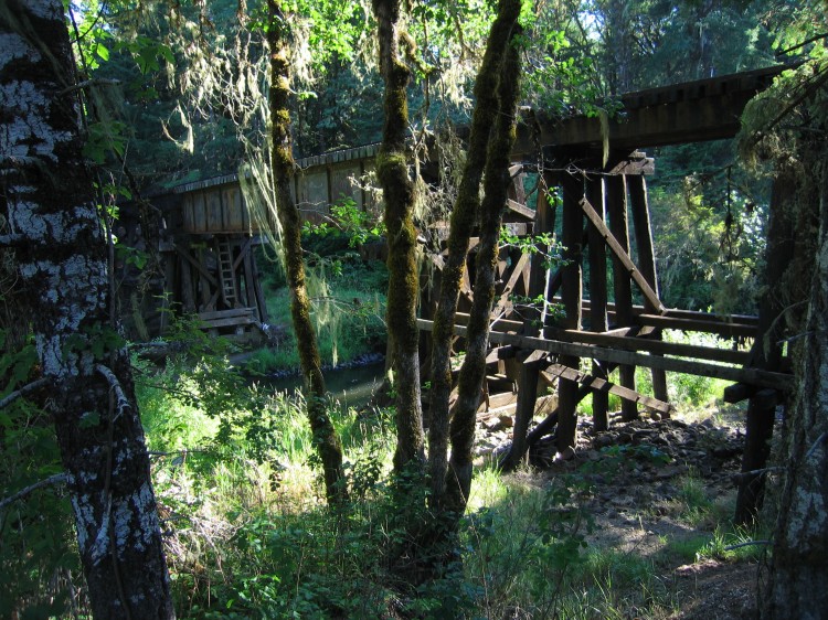
I encountered the railroad that runs out to Toledo where it crosses the Marys River.
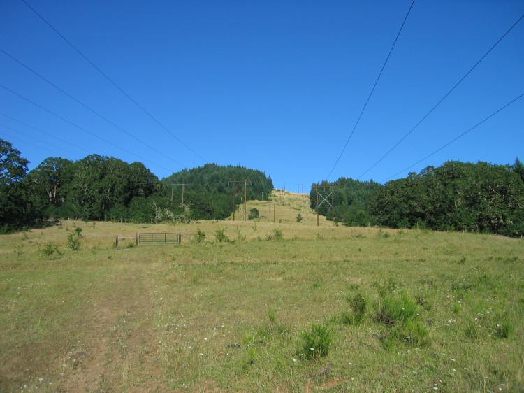
BPA power lines running west toward the coast.
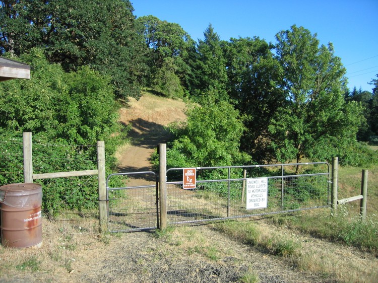
The western gate to the Cardwell Hill Right-of-Way. From here I ran back to my car parked at the Panorama Parking Lot. I will definitely be coming back to this area in the future. After a decade in Corvallis, I am still finding new and interesting places to visit and explore.


