
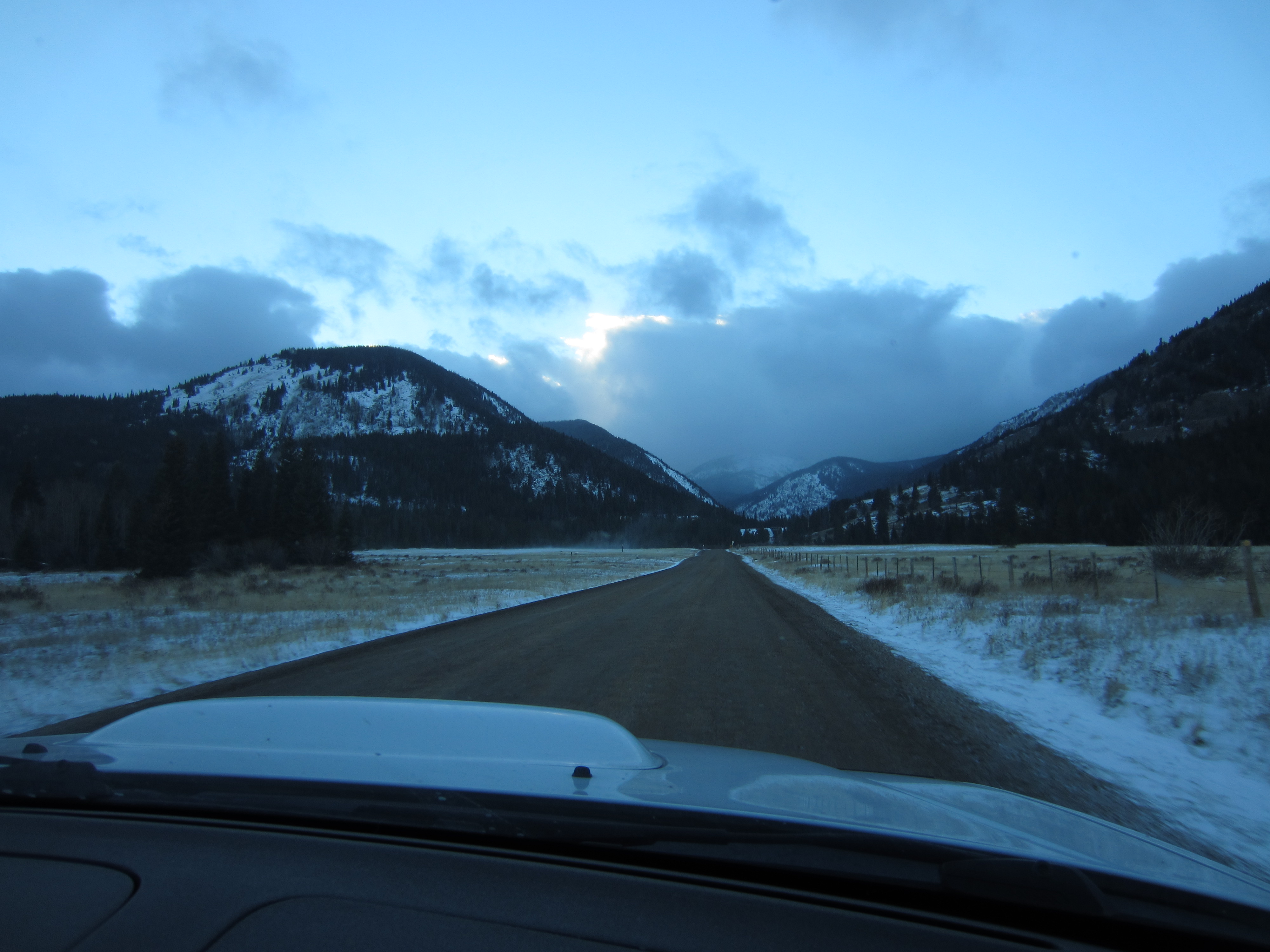
On the way to Georgetown for an adventure in the Rocky Mountains we spotted this gorgeous view on I-70.
The personal and professional website of Douglas Van Bossuyt
On the way to Georgetown for an adventure in the Rocky Mountains we spotted this gorgeous view on I-70.
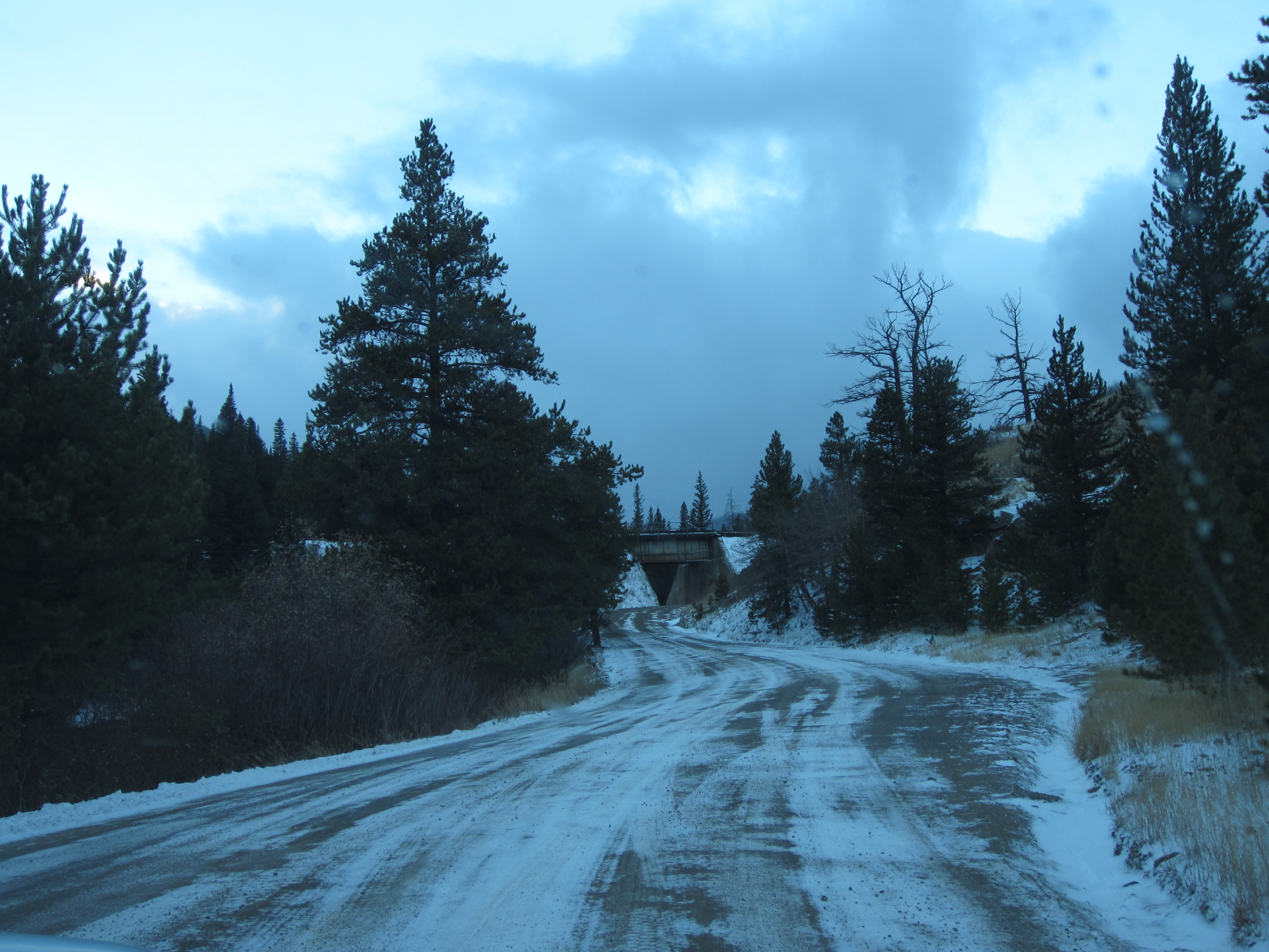
We headed up the Tolland Road toward Rollins Pass and the Moffat Tunnel where the railroad plunges through the Continental Divide.
Big storm clouds covering the view of the continental divide.

Frozen pond.
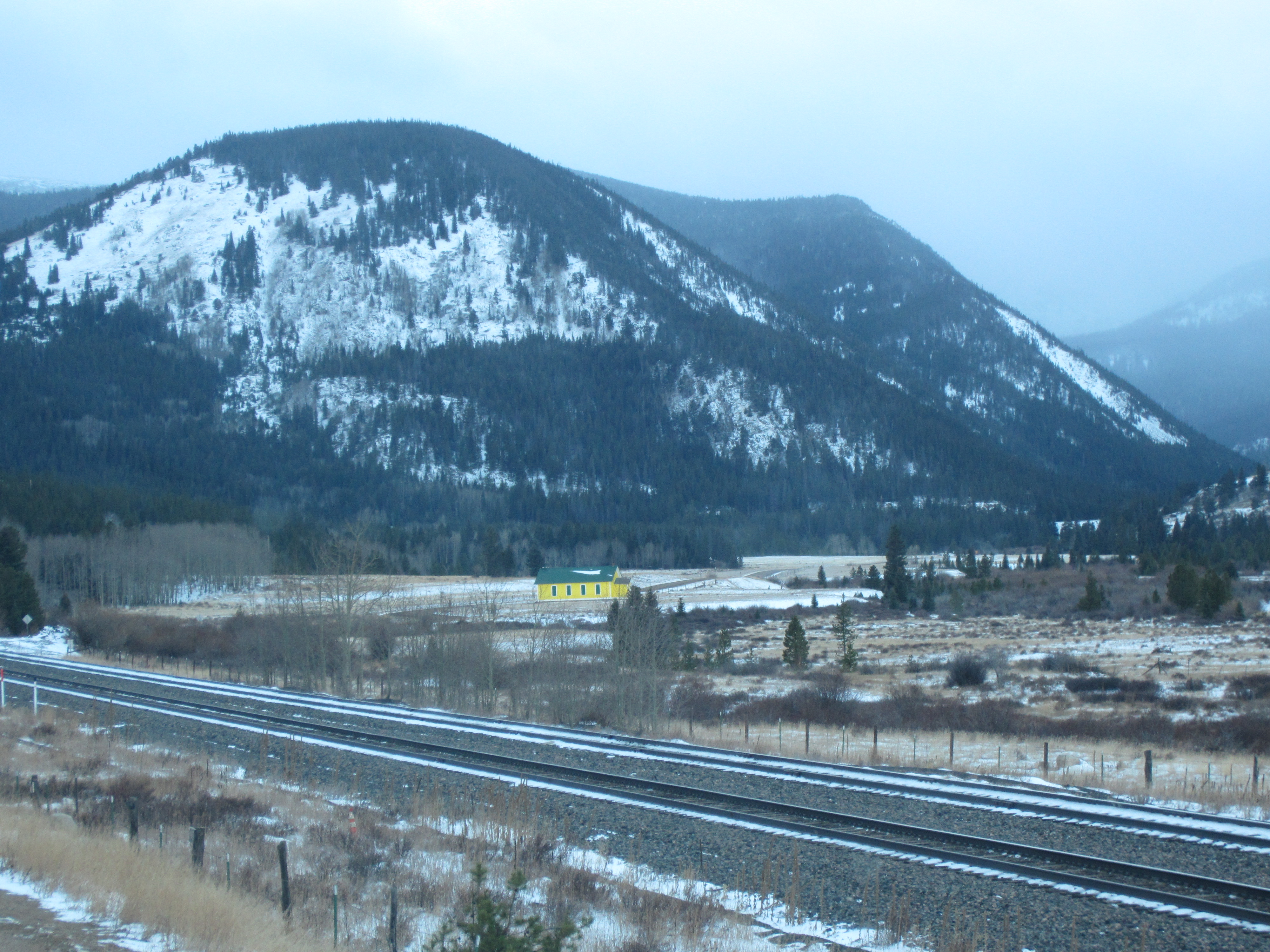
An odd out-of-place green and yellow building. Maybe they support the Oregon Ducks?


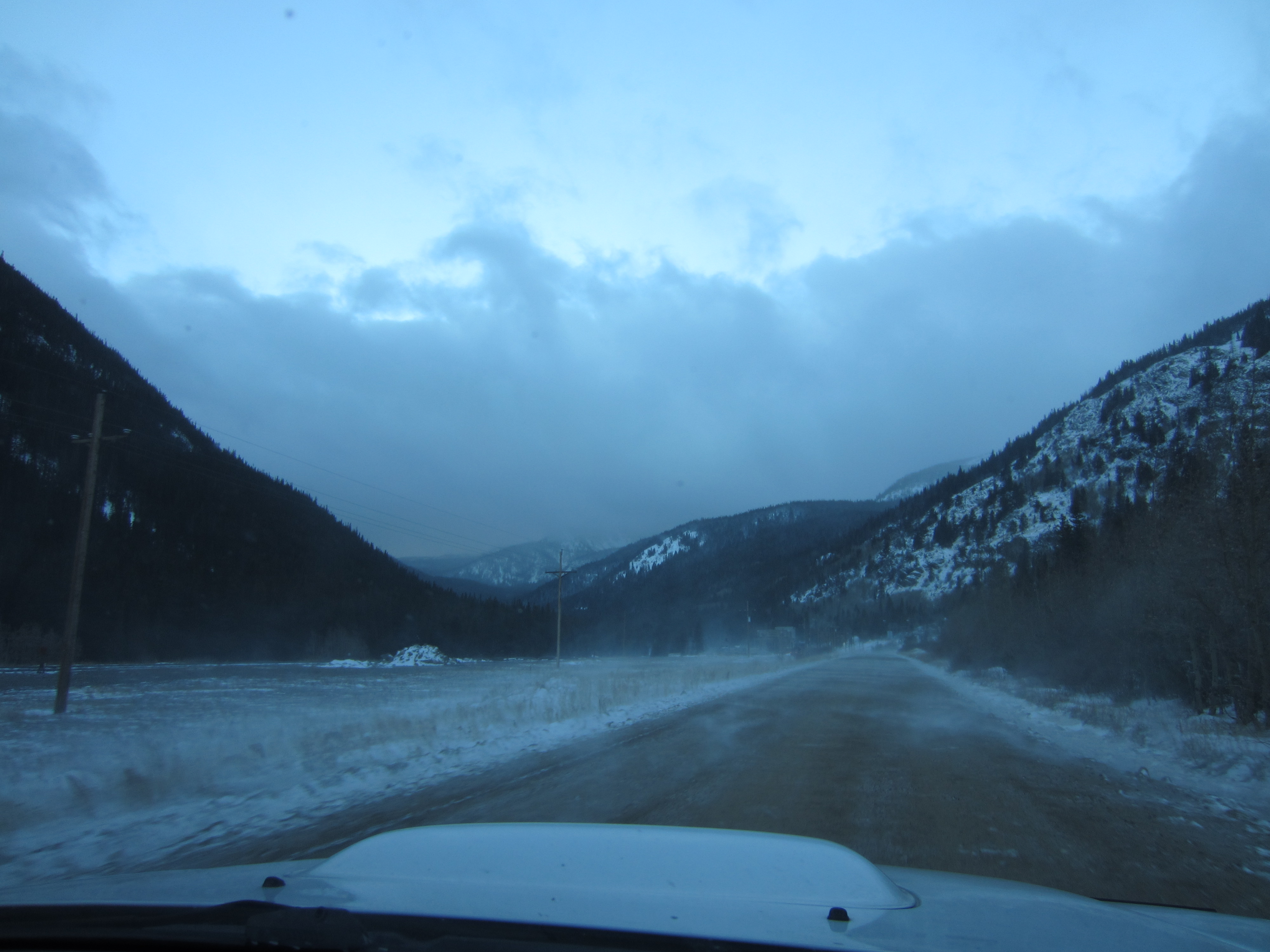
Snow was blowing across the road like a dust storm!


We didn’t go up the Moffat Road toward Corona Pass and Rollins Pass. Perhaps another time when I have a high clearance 4×4…
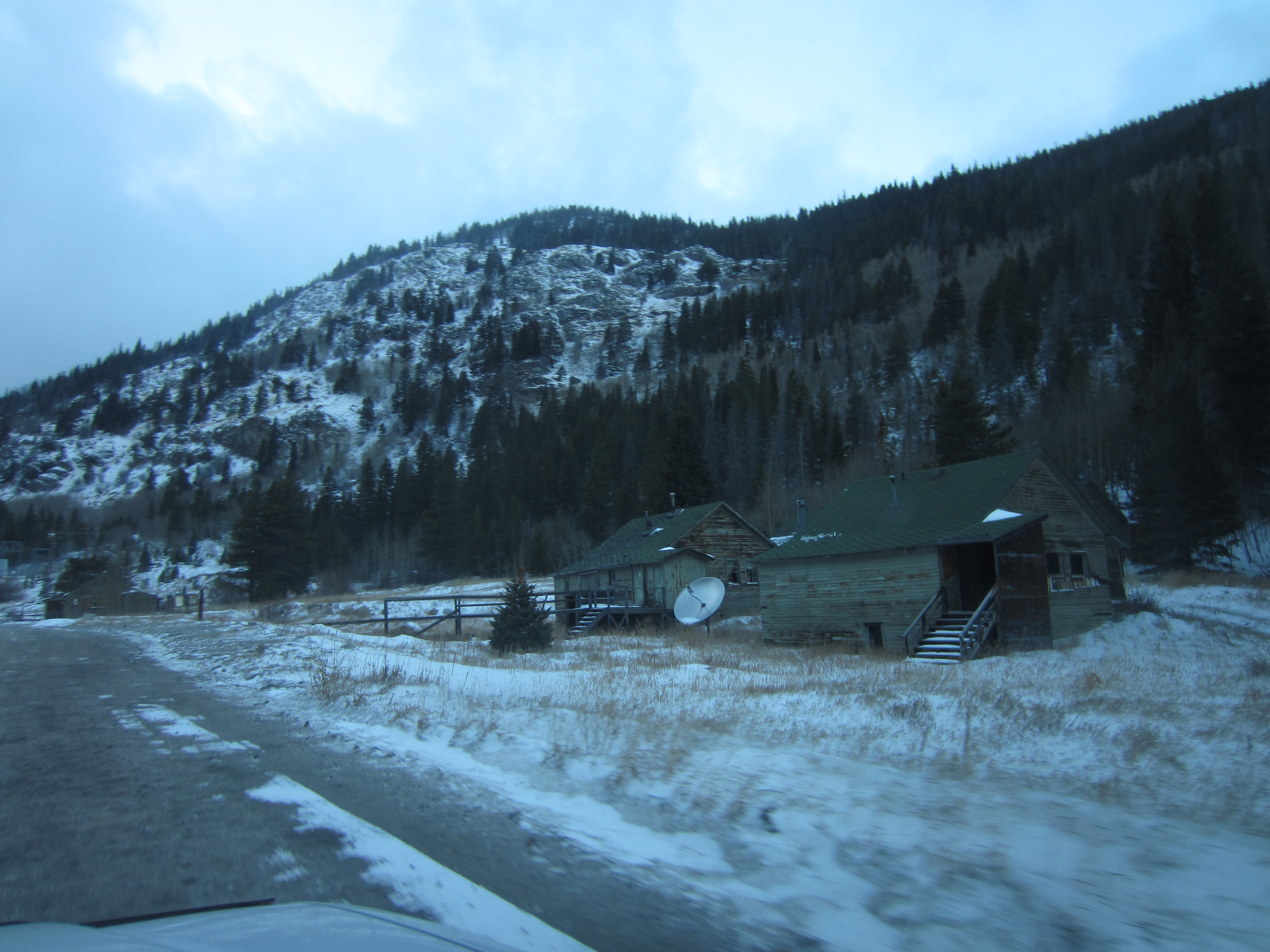
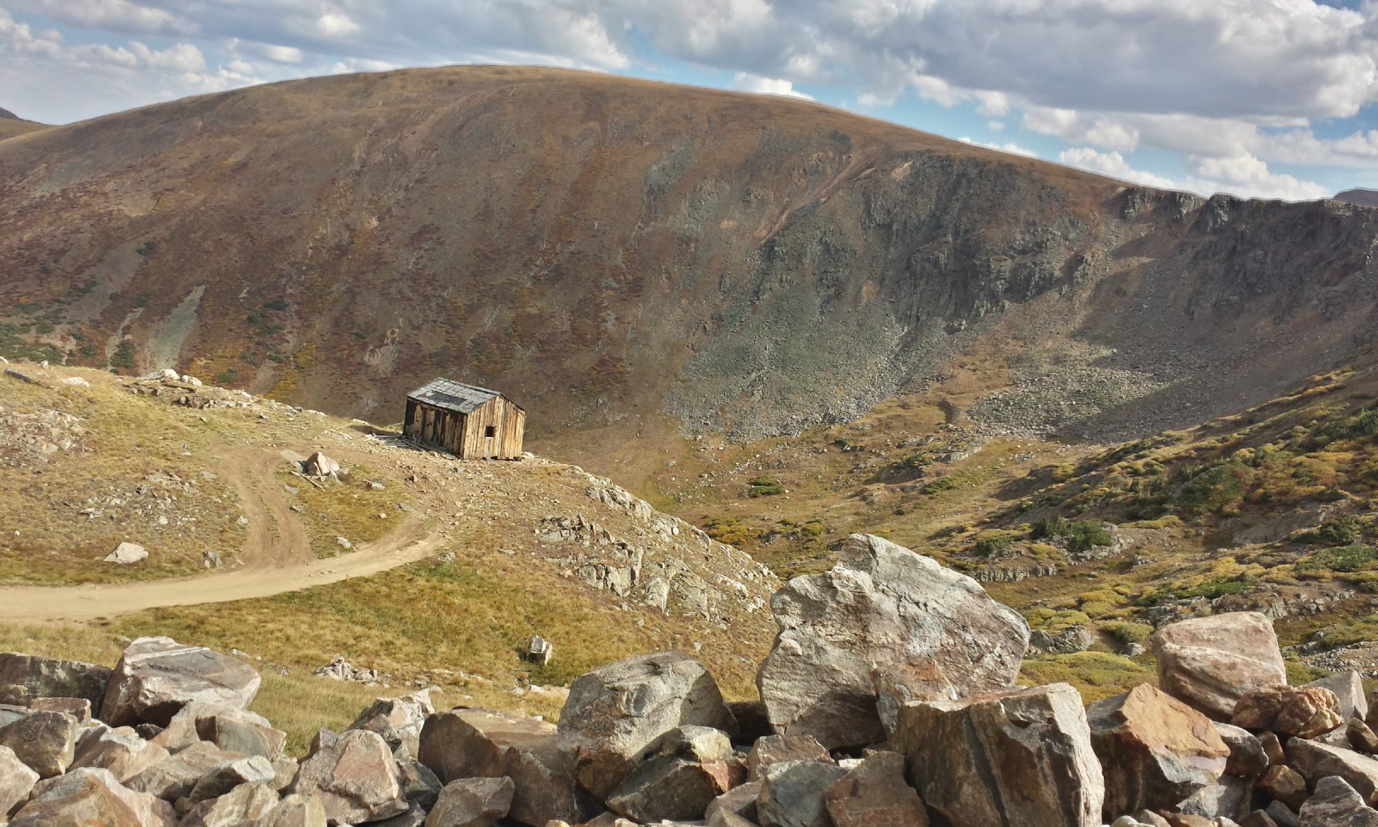
Old abandoned workers quarters at the entrance of Moffat Tunnel.

The entrance to Moffat Tunnel.
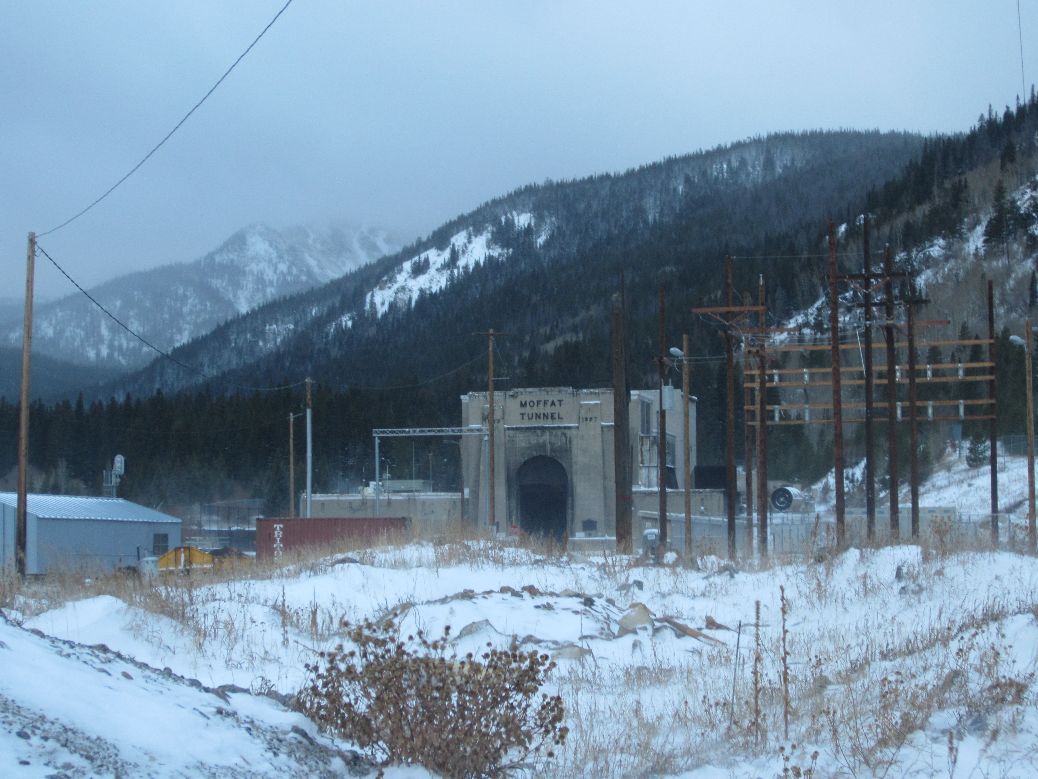
It is an impressive construction and a very long tunnel.
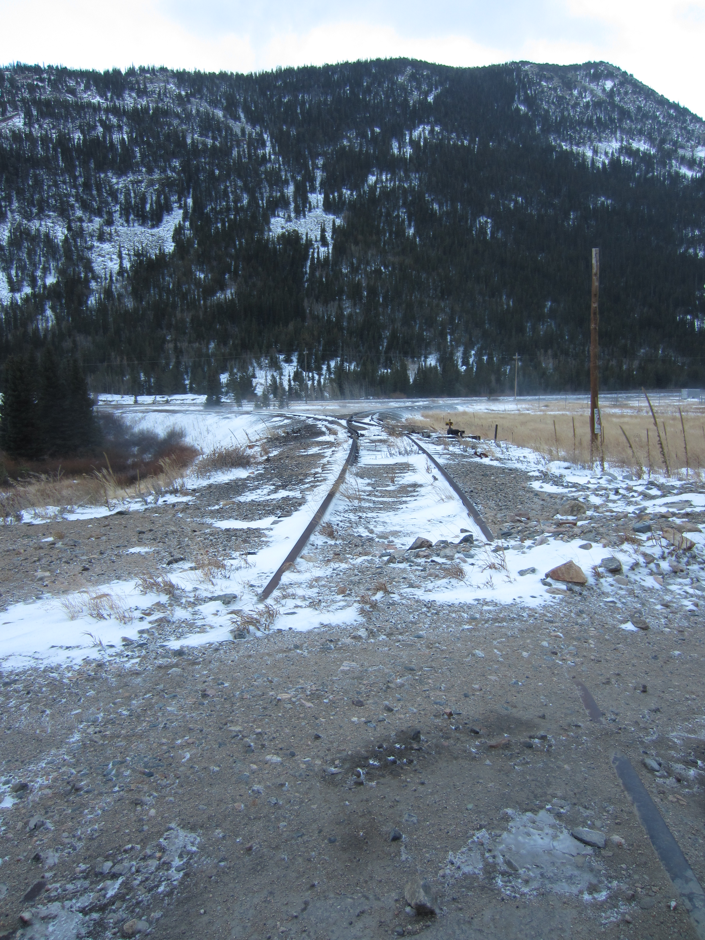
The old wye where helper engines and snow plows used to turn around.

I need to investigate further to see where the water in this river comes from. It appears on the satellite view that there is a tunnel and pipe coming from the west side that feeds this stream to provide water to the farmers on the east side of the continental divide.

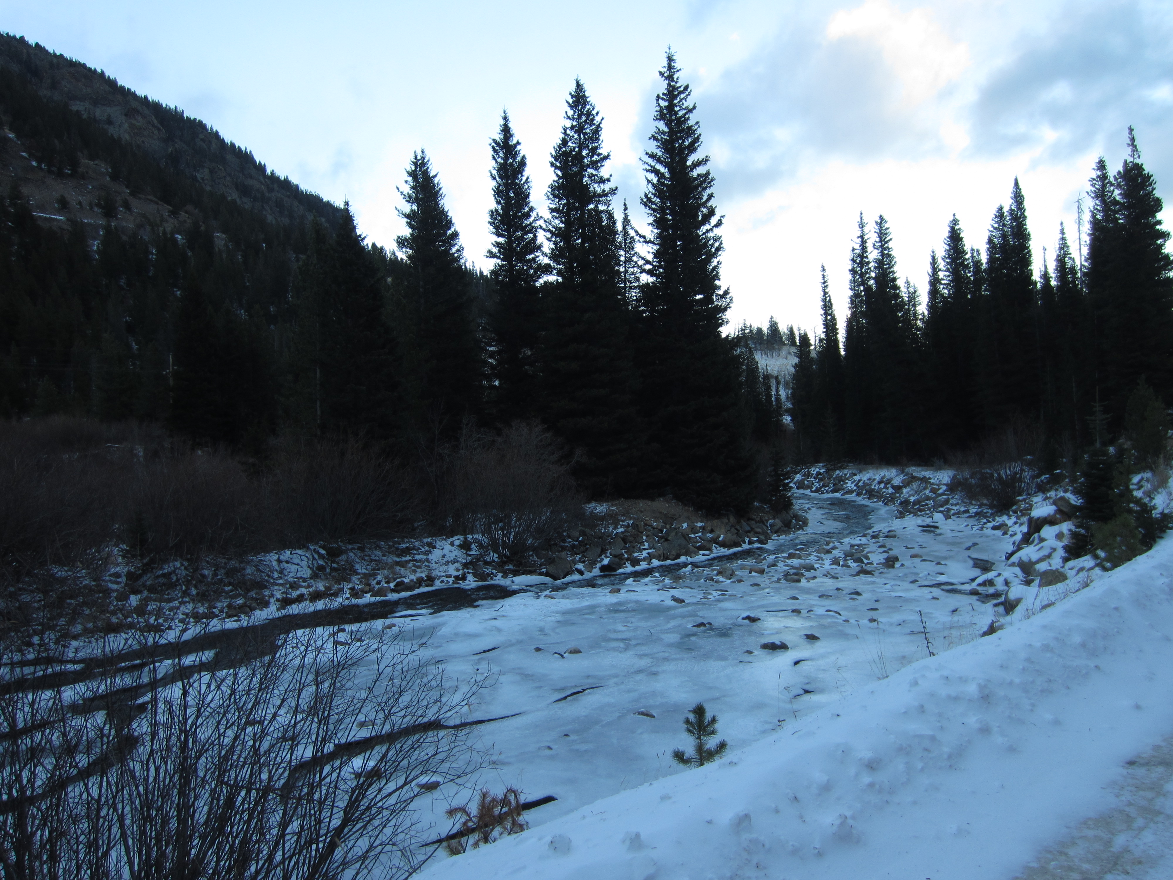
An icy river.

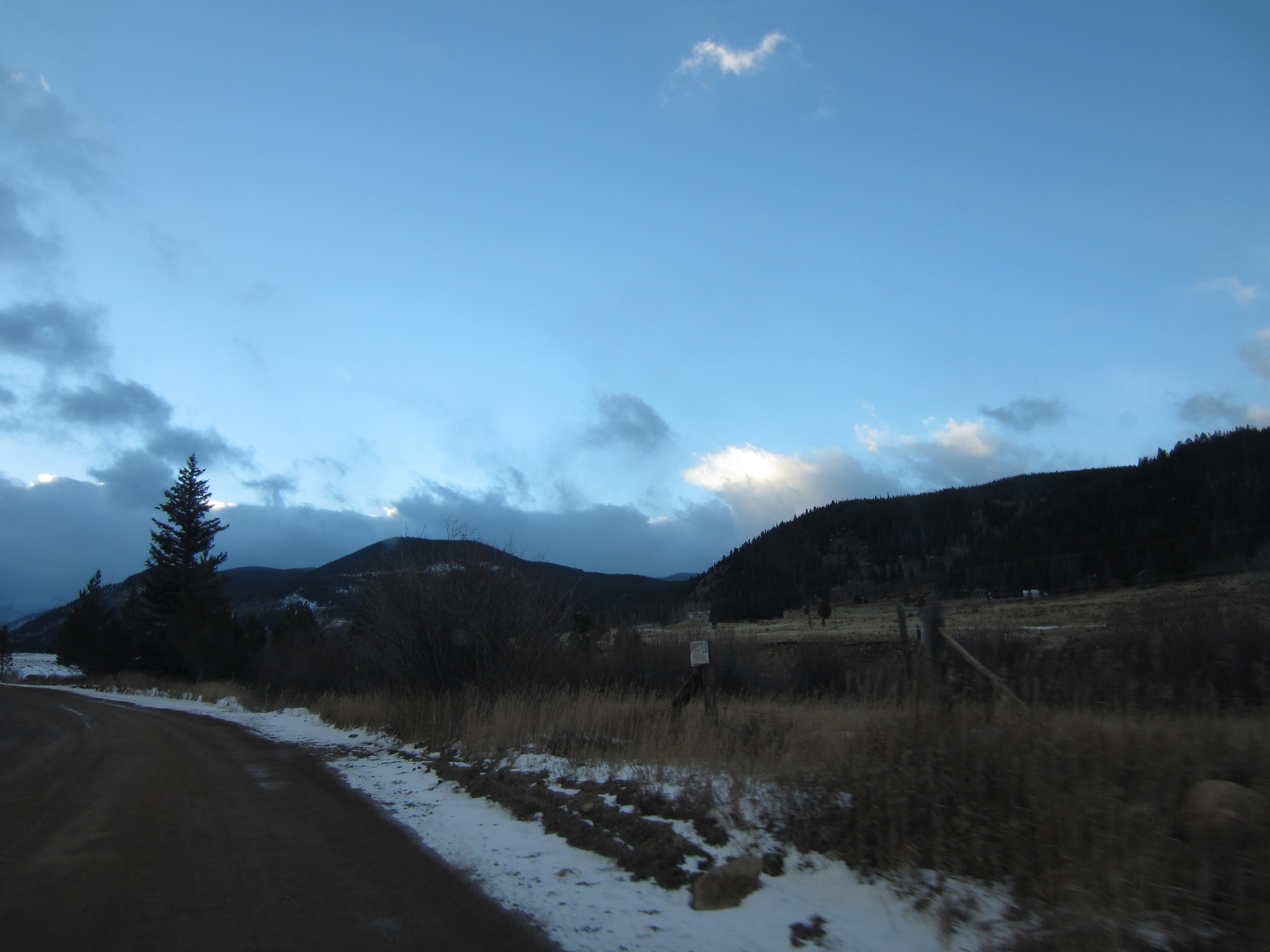
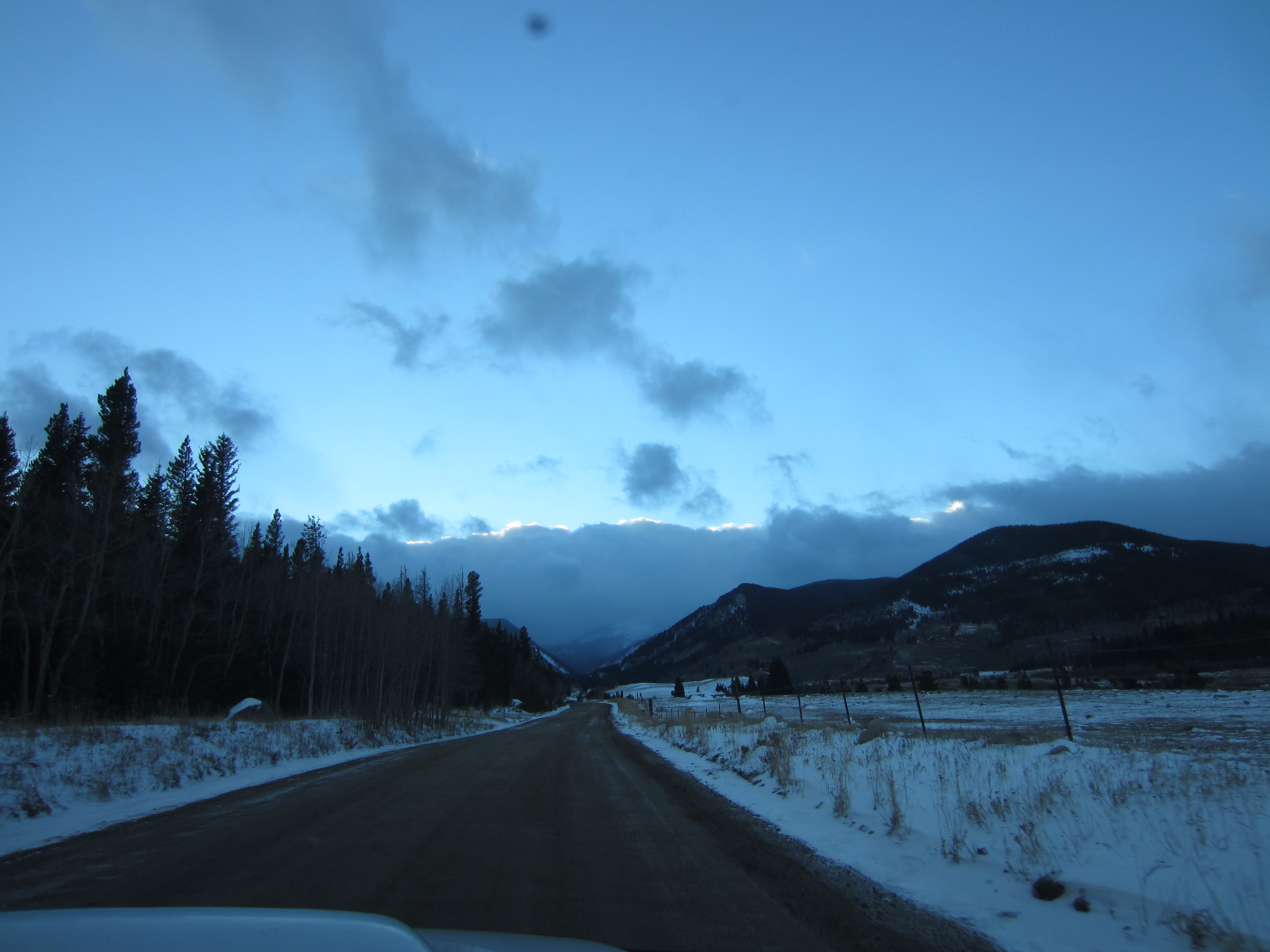
Heading back east through the growing twilight.


A lake along the Peak to Peak Highway south of Rollinsville.
Snow along the side of the road.

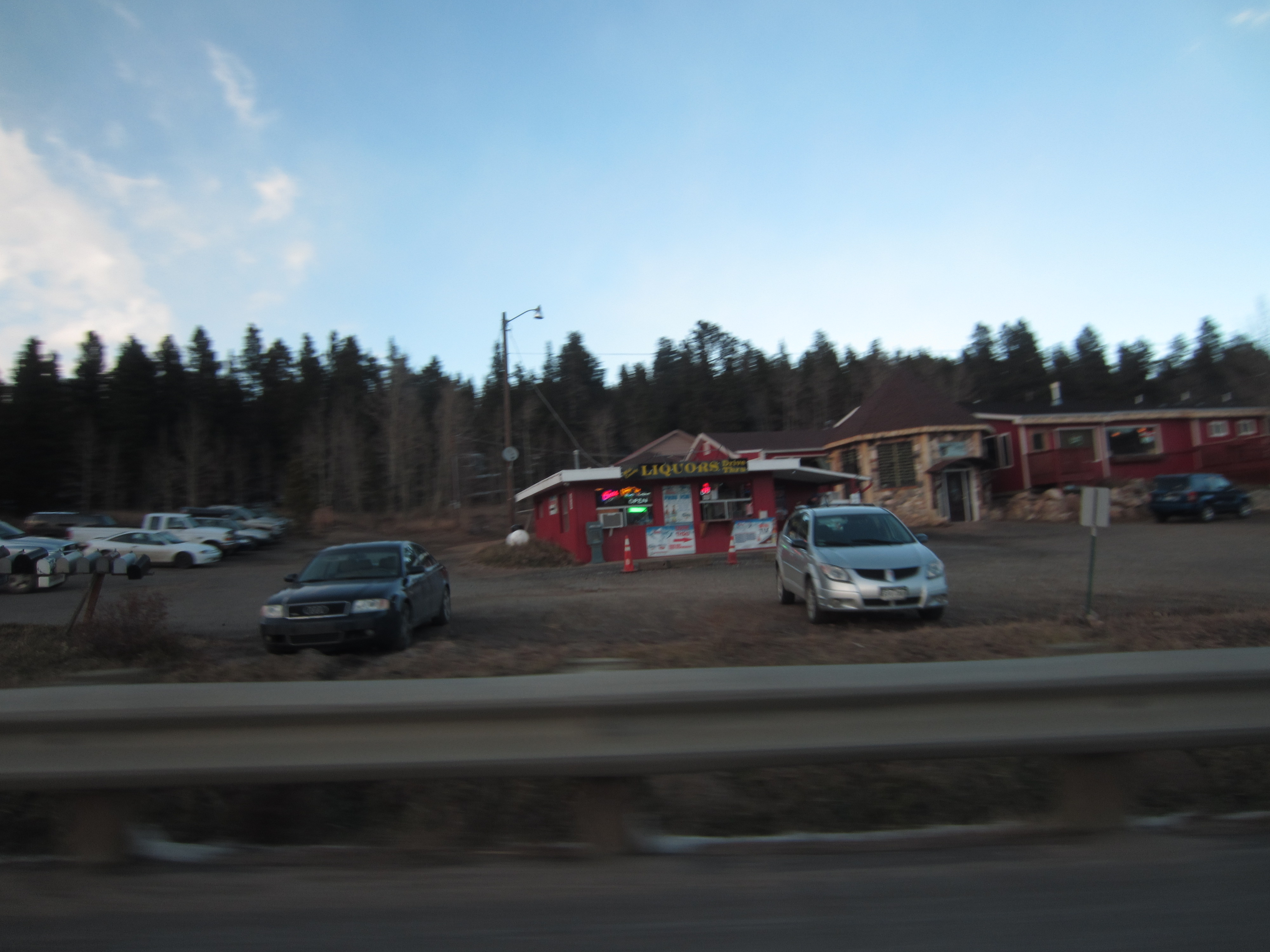
Yup. A drive-through liquor store.
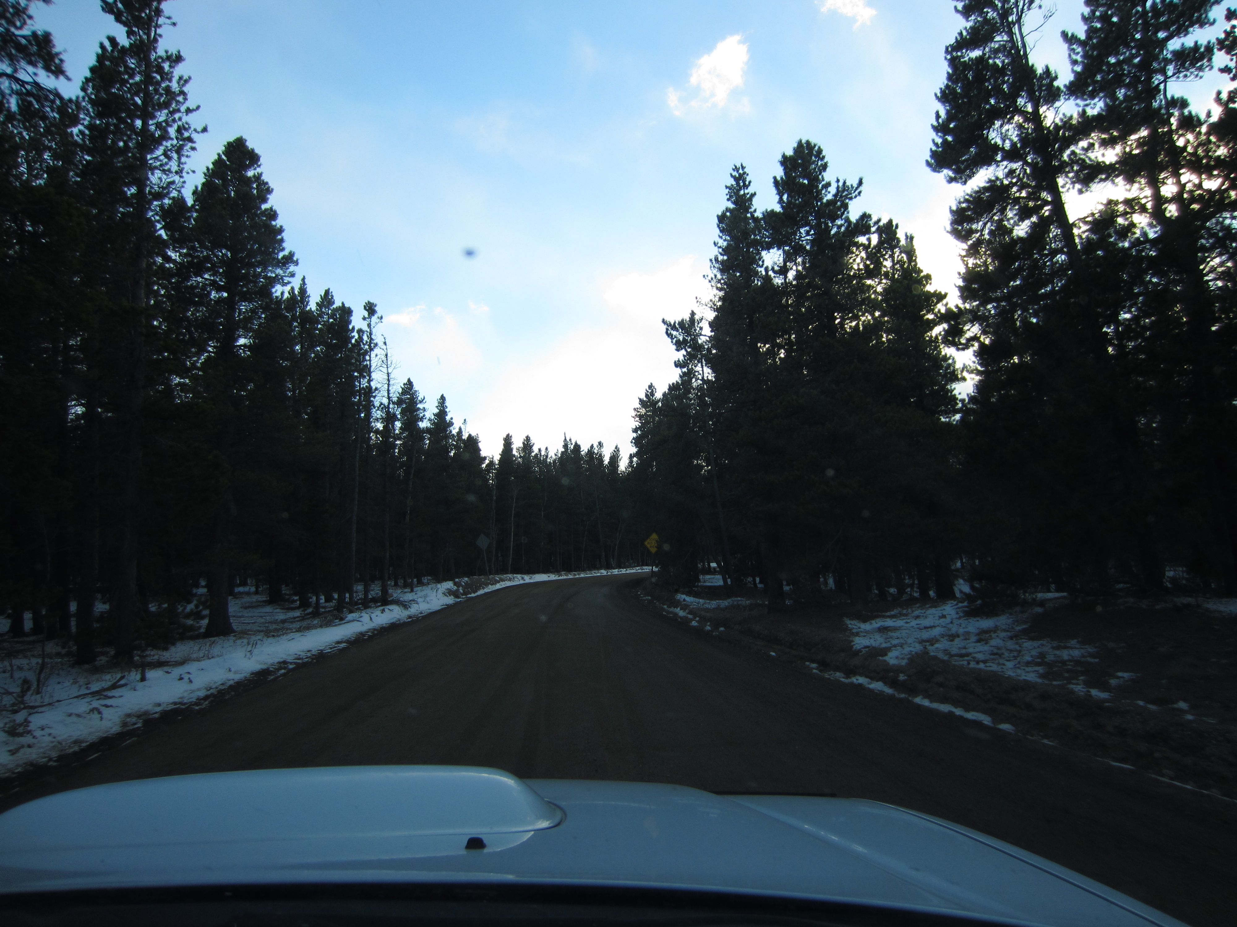
Doing some gravel road driving. With the tires needing to be replaced in the next few months, it is easy to get the car to cut loose on corners.


Big houses near Rollinsville.
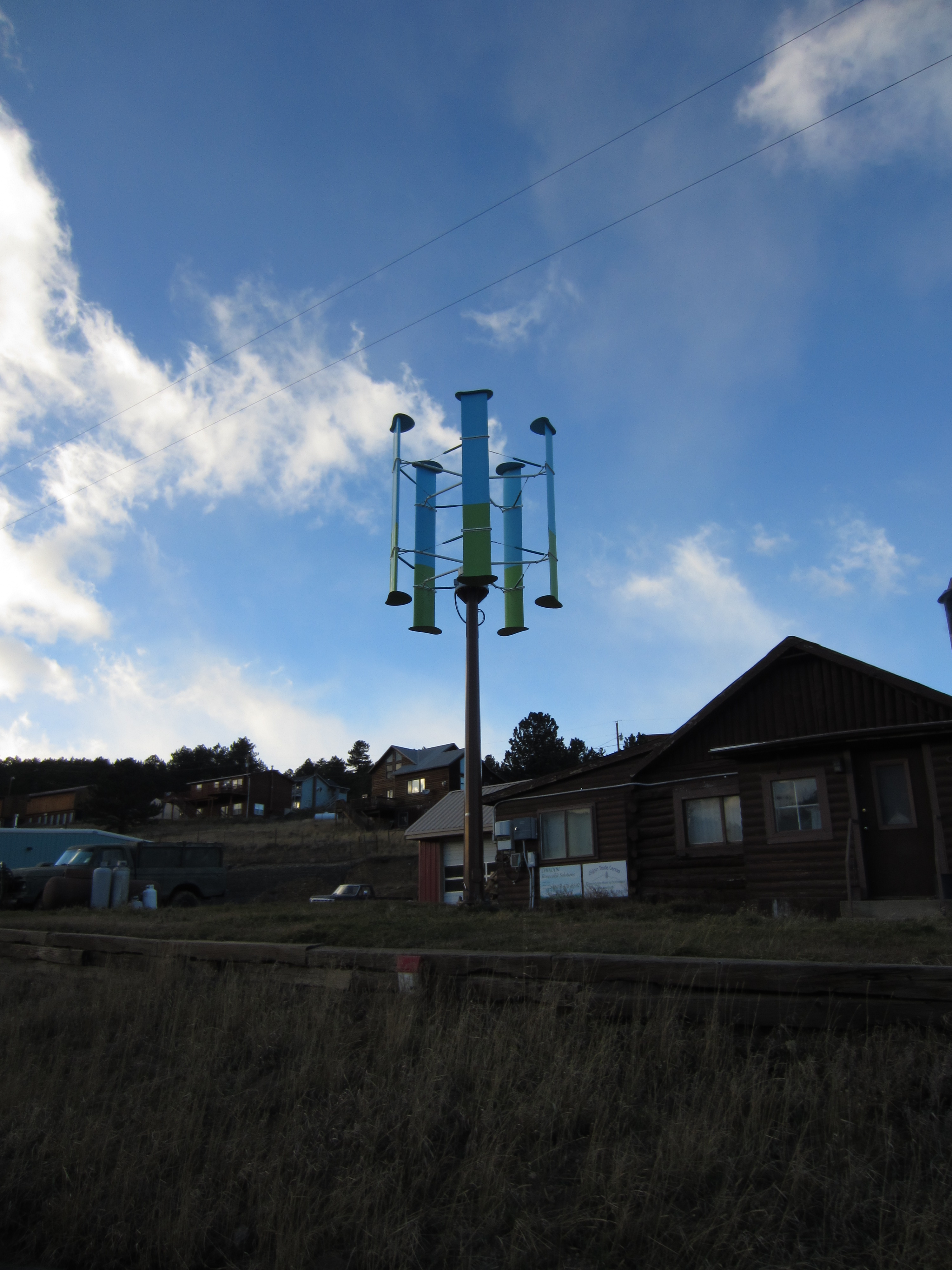 An odd wind turbine on Tolland Road in Rollinsville.