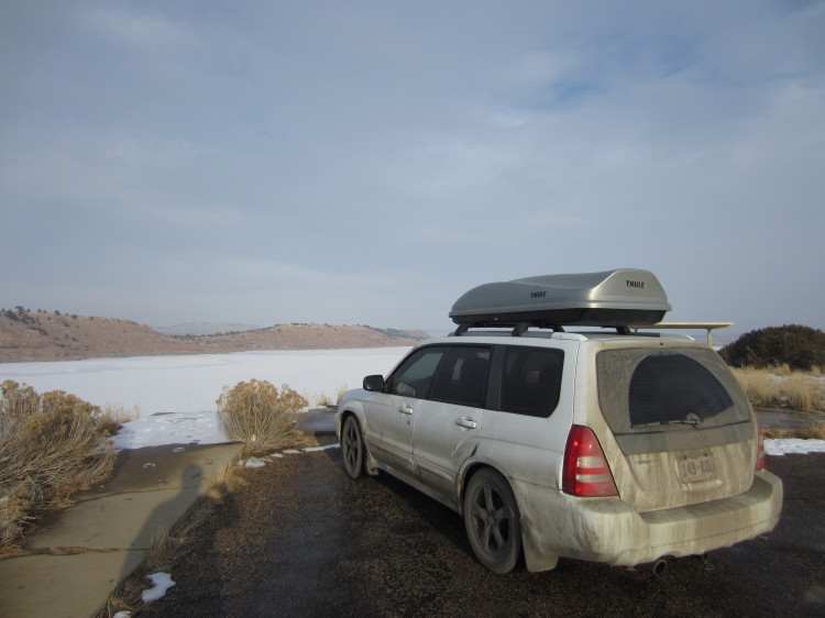
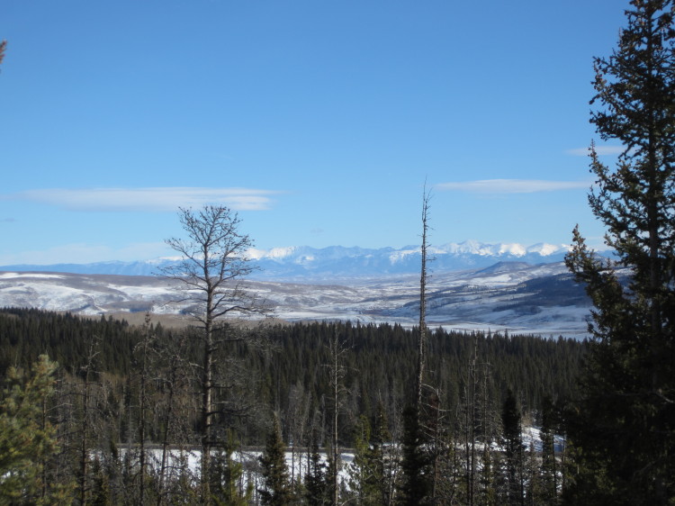
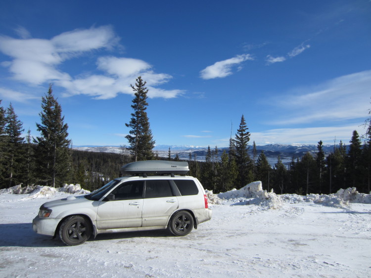
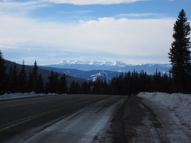
I stopped off to look at the very frozen Starvation Reservoir. This part of Utah gets extremely cold in the winter.
The “I Do” Fire
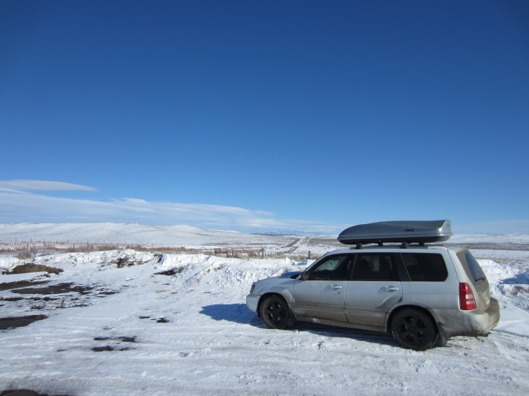
In the middle of nowhere in Moffat County, I pulled off at a parking lot along the highway. Nothing but the road and a lonely set of power lines were visible in any direction.
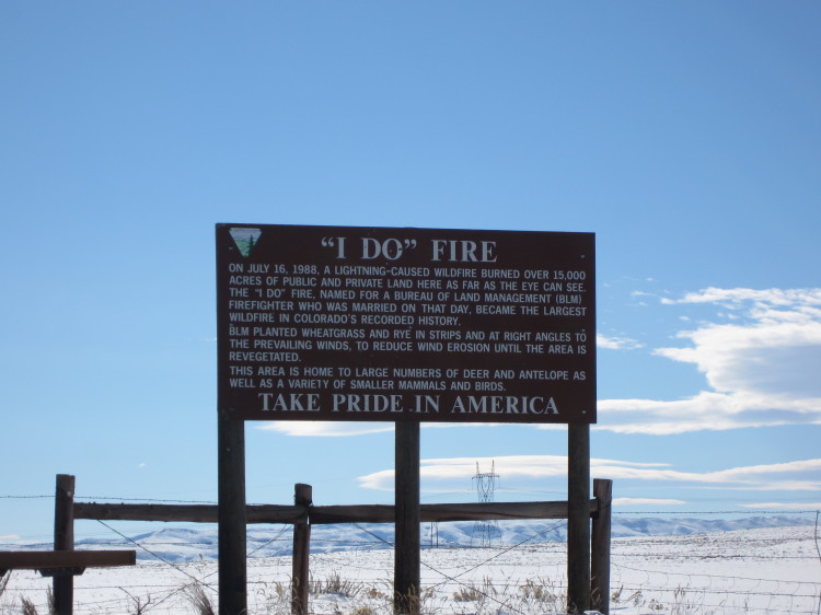
It turns out that this is the site of the “I Do” Fire. The BLM sign reads:
On July 16, 1988, a lightning-caused wildfire burned over 15000 acres of public and private land here as far as they eye can see. The “I Do” fire, named for a Bureau of Land Management (BLM) Firefighter who was married on that day, became the largest wildfire in Colorado’s recorded history.
BLM planted wheatgrass and rye in strips and at right angles to the prevailing winds, to reduce wind erosion until the area is revegetated.
The area is home to large numbers of deer and antelope as well as a variety of smaller mammals and birds.
As you can see, there isn’t much out here.
