Hagerman Pass

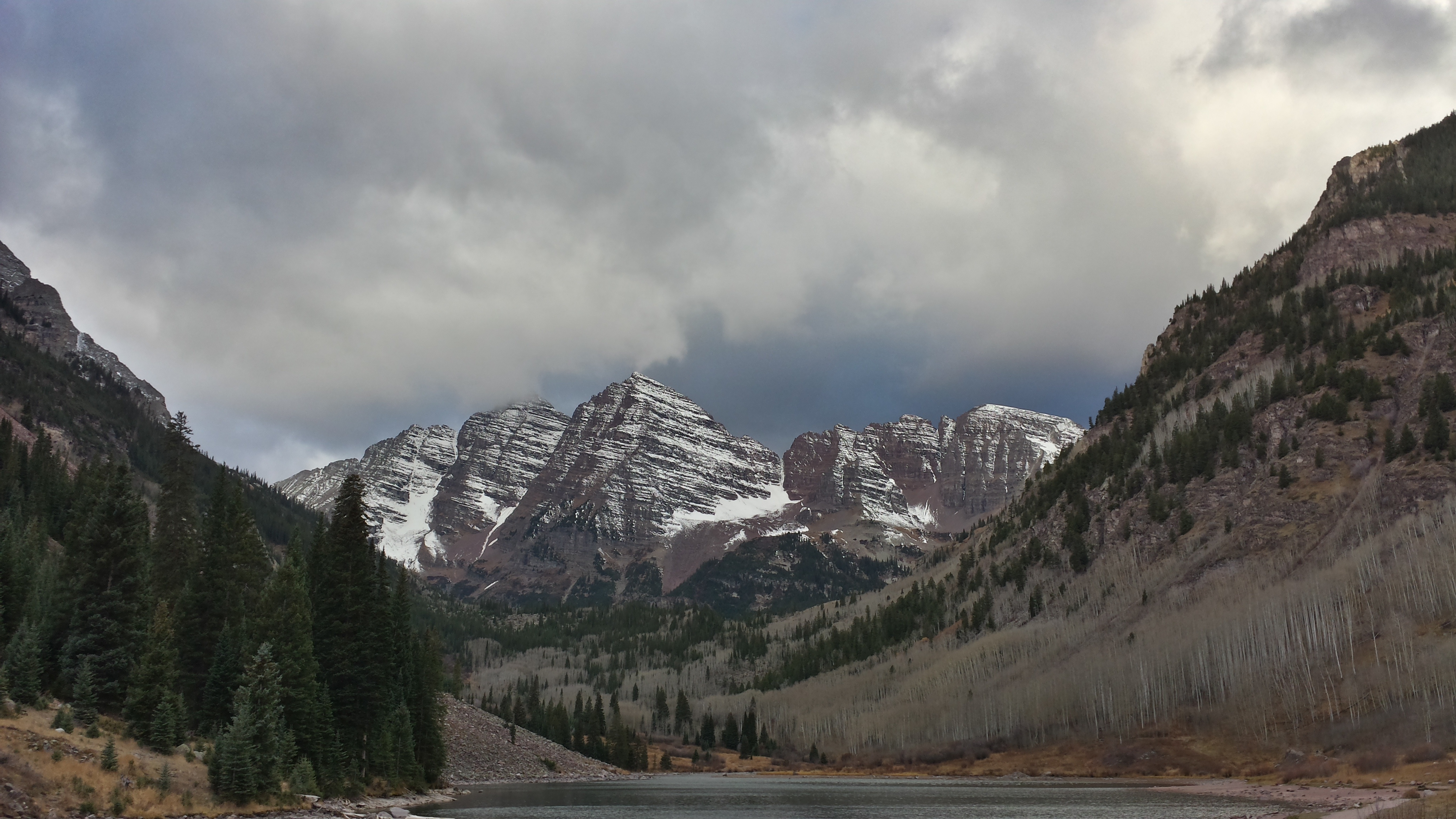
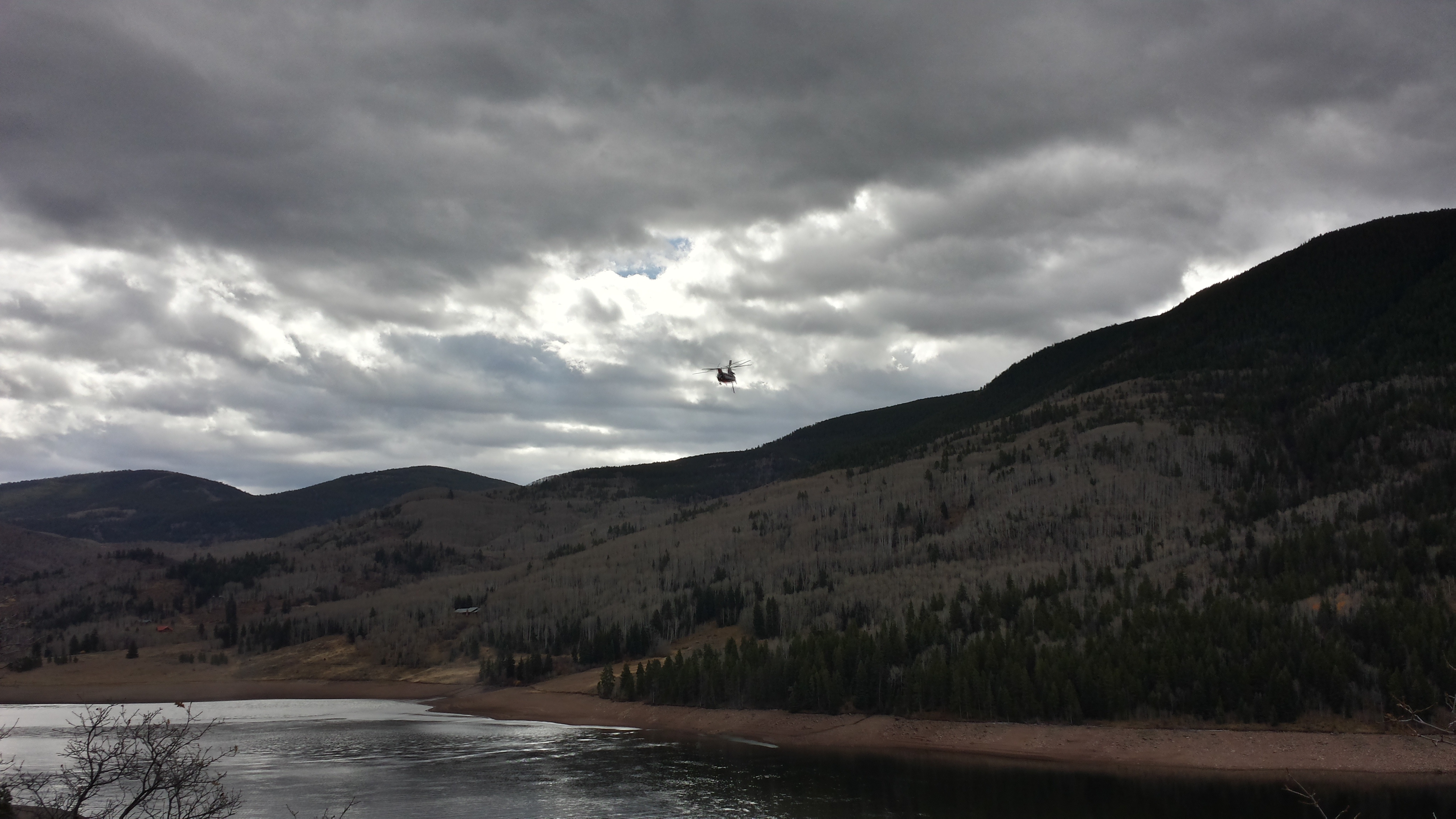
On our way from Aspen back to Denver, we decided to go over Hagerman Pass and follow an old continental divide railroad route.  Heading up the mountain, we passed an active fire fighting operation on the north side of a reservoir.  Two big twin rotor helicopters were sucking water out of the reservoir and dumping it on the mountain above us.

There was some real precision flying to take on all of that water and get it back up the mountain.

After leaving Ruedi Reservoir and the fire fighters, we headed up onto Hagerman Pass.


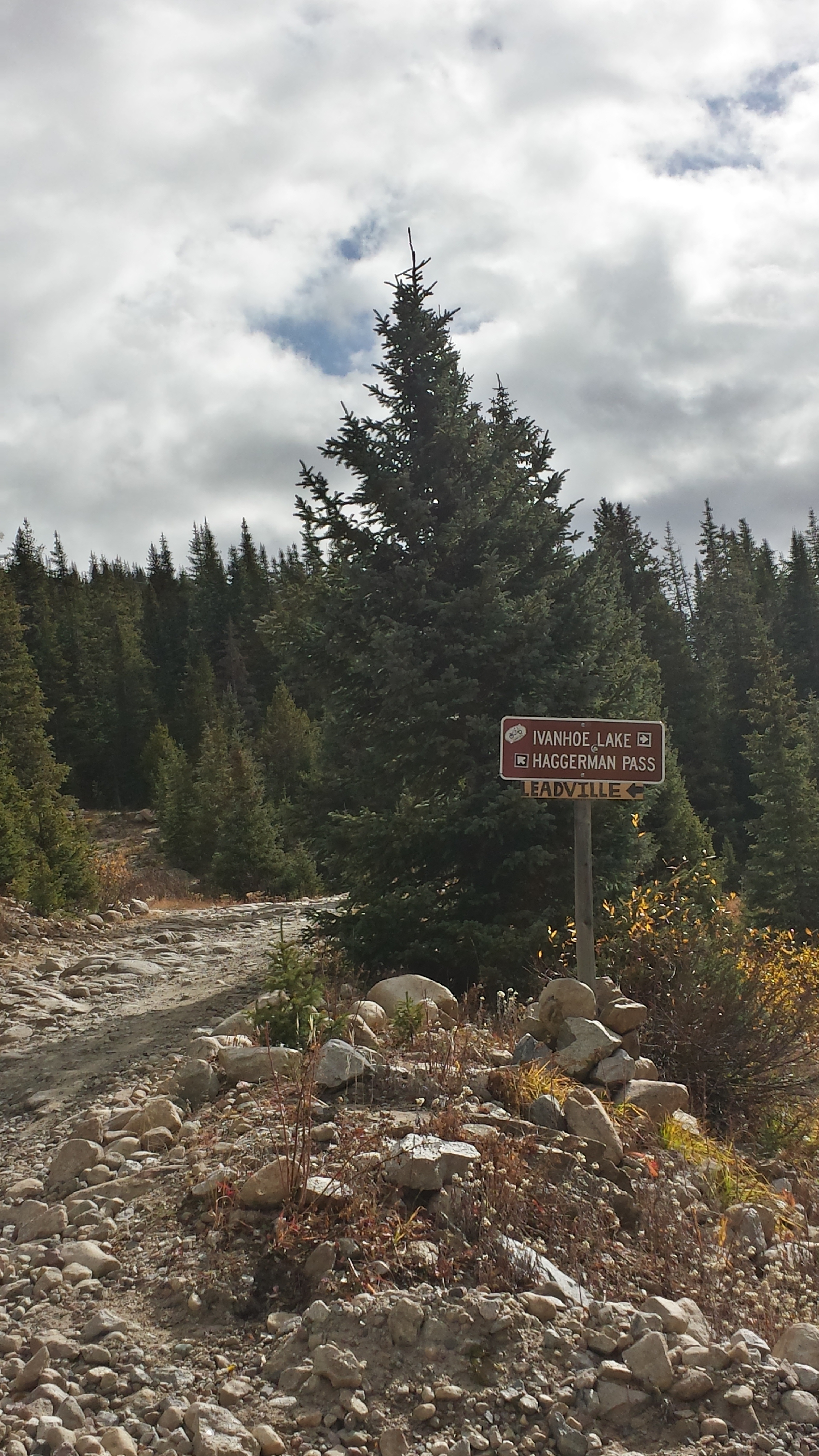
This way to Leadville!

Looking back south and west toward the general Richmond Hill area although I think there is another range of mountains in between us and Richmond Hill.

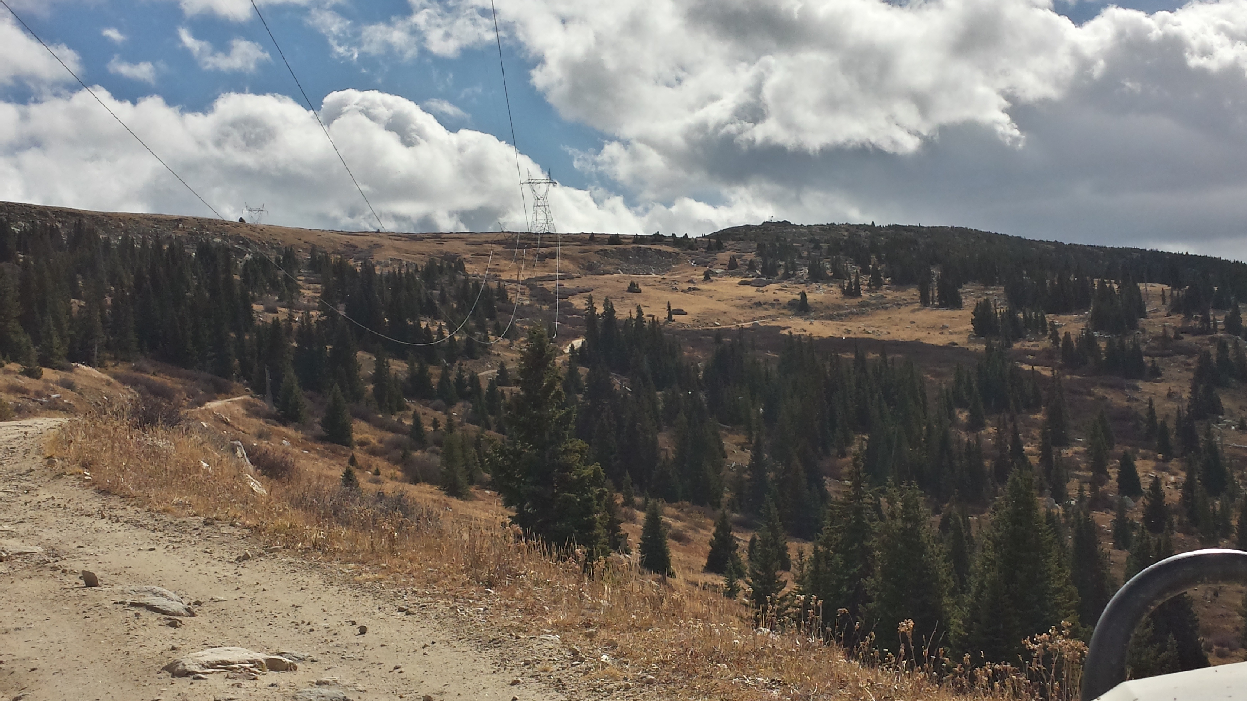
Crossing under the big 230 kVA high tension transmission power lines that go between Leadville and the town of Basalt below Aspen.

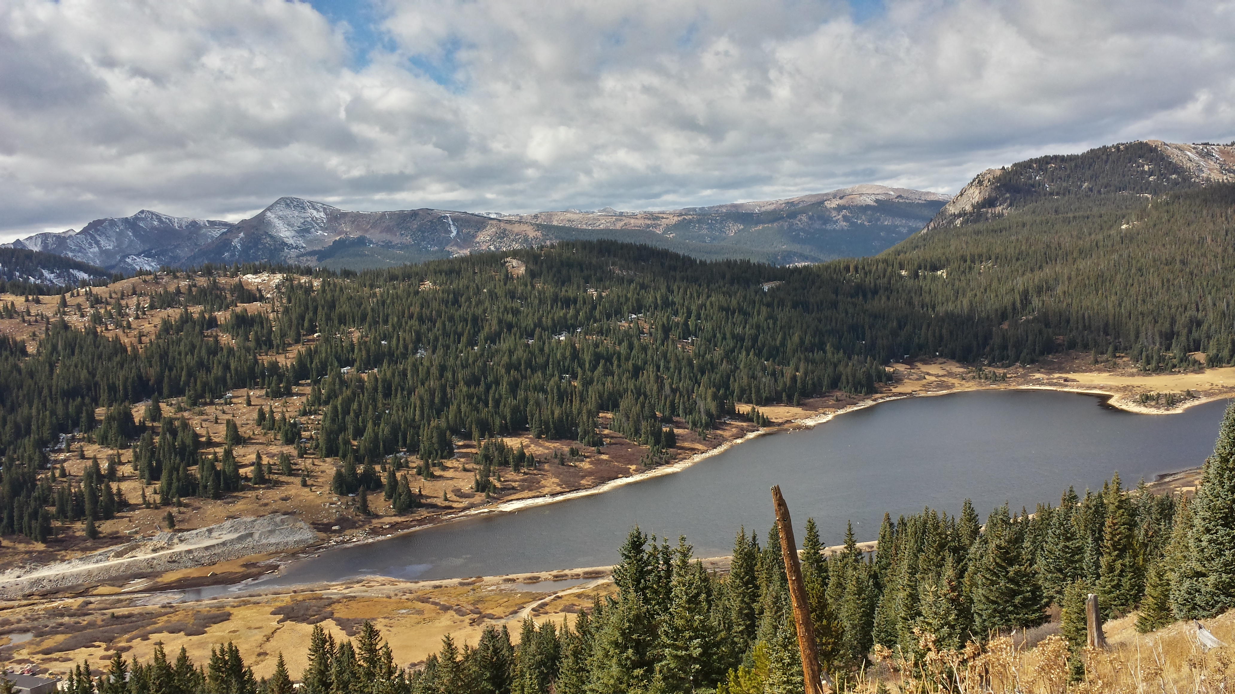
Looking down on Ivanhoe Lake which was built by the Army Corps of Engineers to divert water via a tunnel from the west side of the continental divide to the east side.

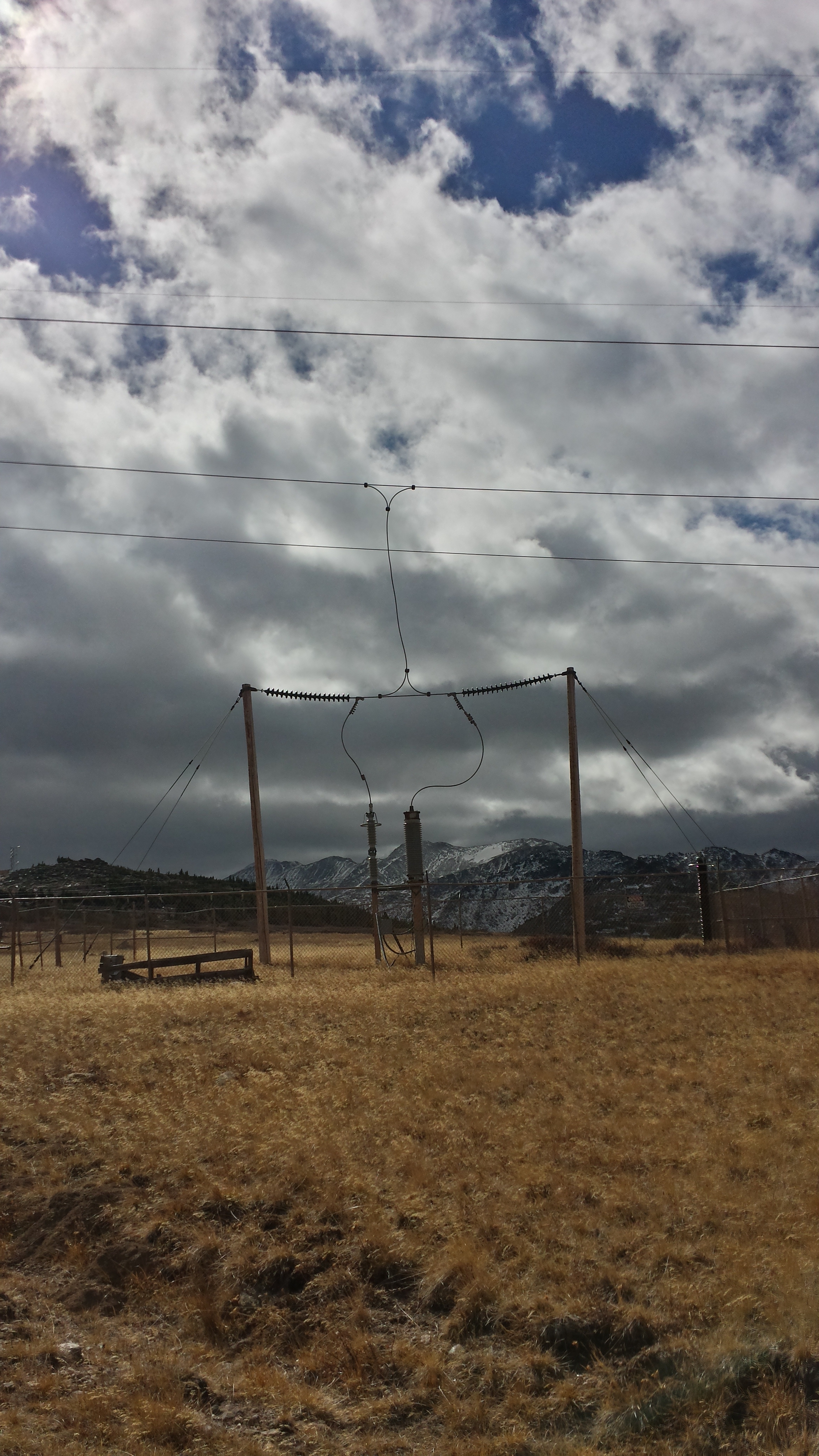
This odd-looking device is attached to one of the three phases on the 230 kVA line at the top of Hagerman Pass.  I suspect it’s some sort of lightning arrester although it is only hooked to one phase and we didn’t see any other devices on the several miles of power lines we drove underneath of.  For size comparison, the fence around the device is about eight feet tall.


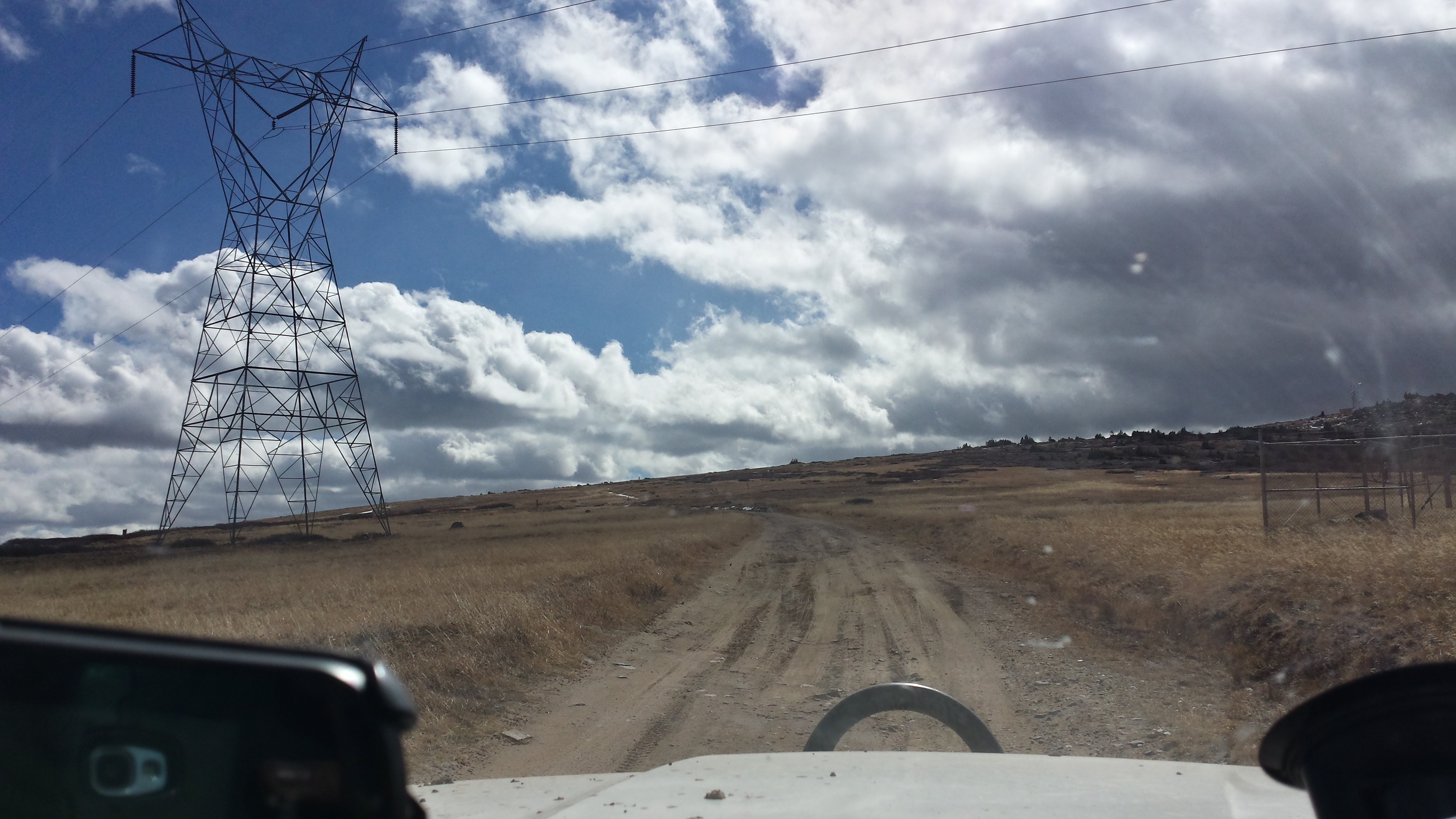
Heading east under the power line and over the continental divide.


Here we are at the summit.  The pacific ocean is one way and the atlantic is the other.


Heading down the east side toward Leadville.


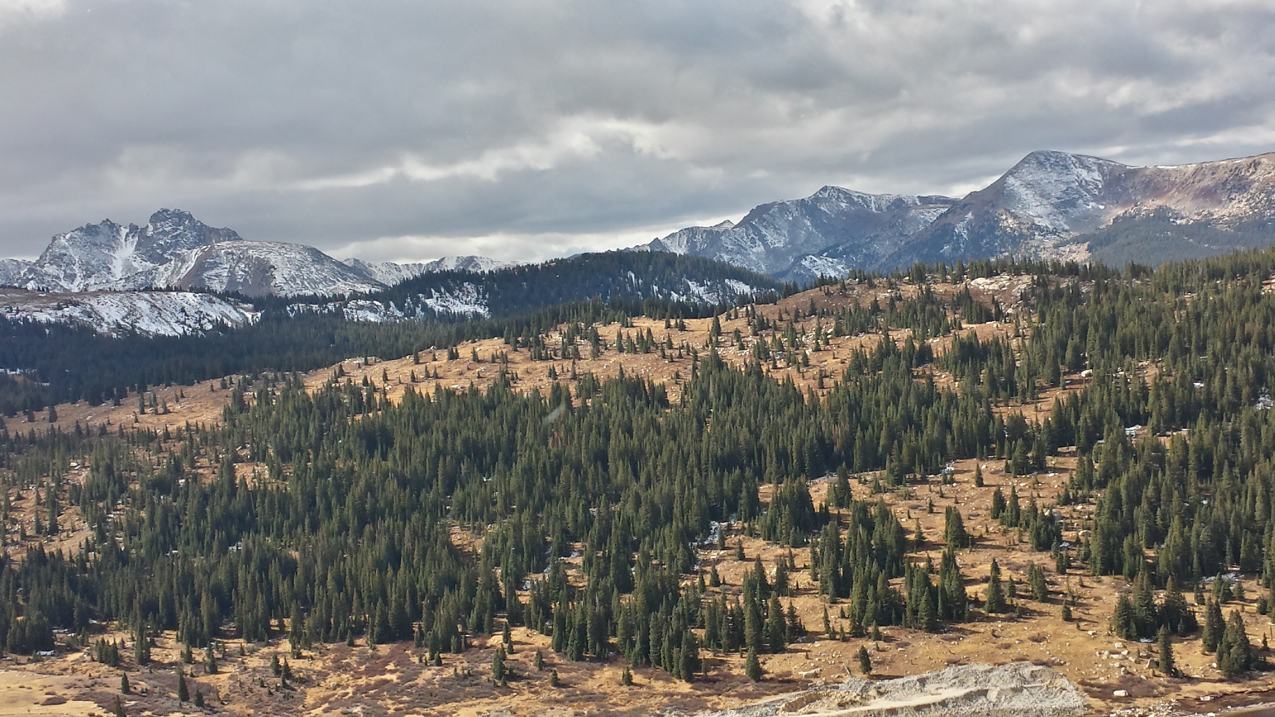
This is an old railroad grade so it’s pretty mild but has stunning views.  I believe the mountains straight ahead are part of the Collegiate Peaks.

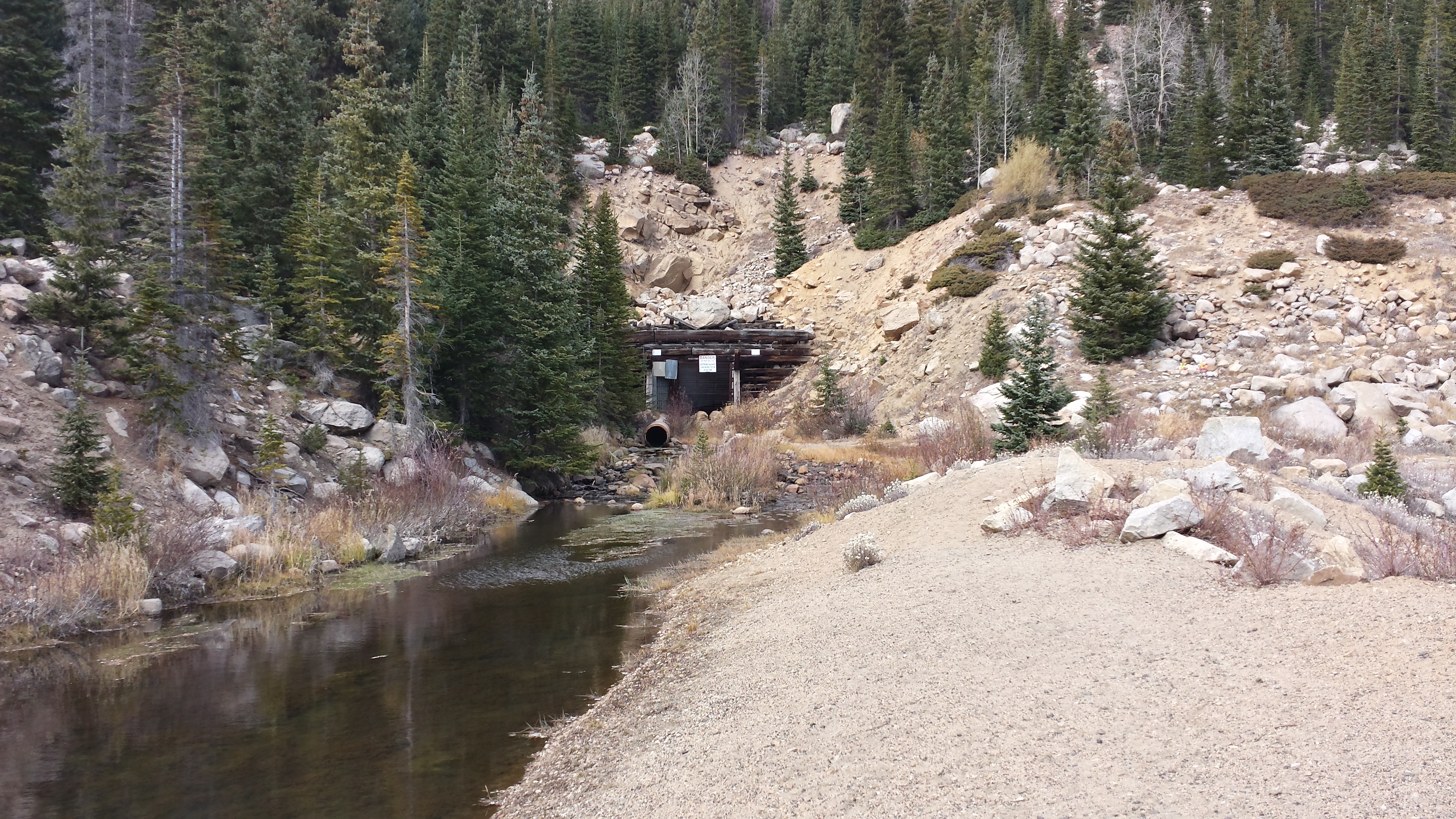
This is the tunnel entrance that the water diversion comes out of.  Originally, this tunnel was used for the railroad.  For about 30 or so years after the railroad pulled out its lines, this was a regular Colorado highway.  Then the highway was rerouted over a different pass.  Now the Army Corps of Engineers uses the tunnel to bring water from west to east.


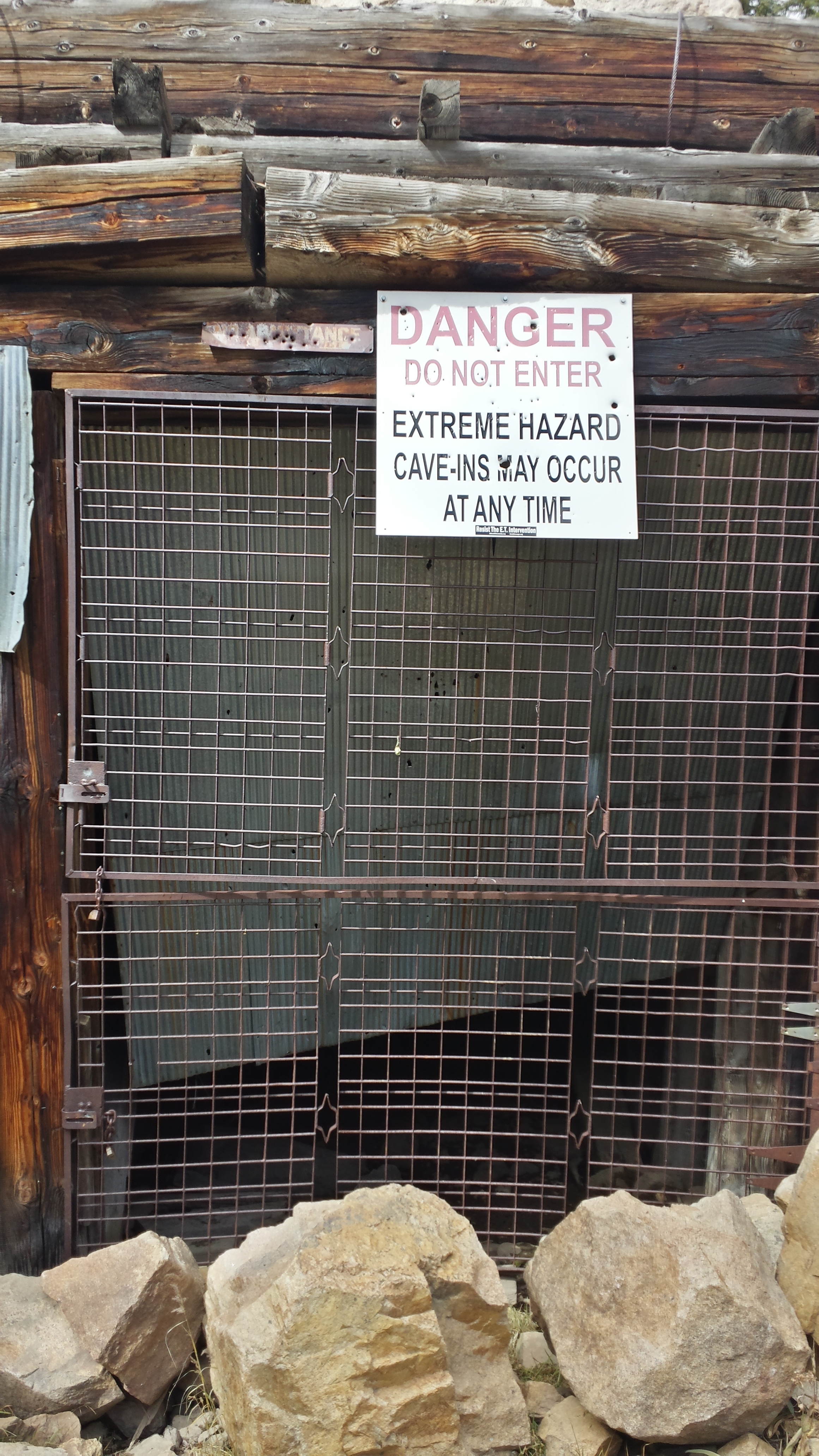
There’s no way that I’d enter this tunnel.  At this point, it really is only useful for the water pipe that runs through it.  There used to be another tunnel farther up on the mountain that I believe is now collapsed.  The railroad originally went over the top of the pass, then through the high tunnel, and then the low tunnel before pulling out the tracks completely.


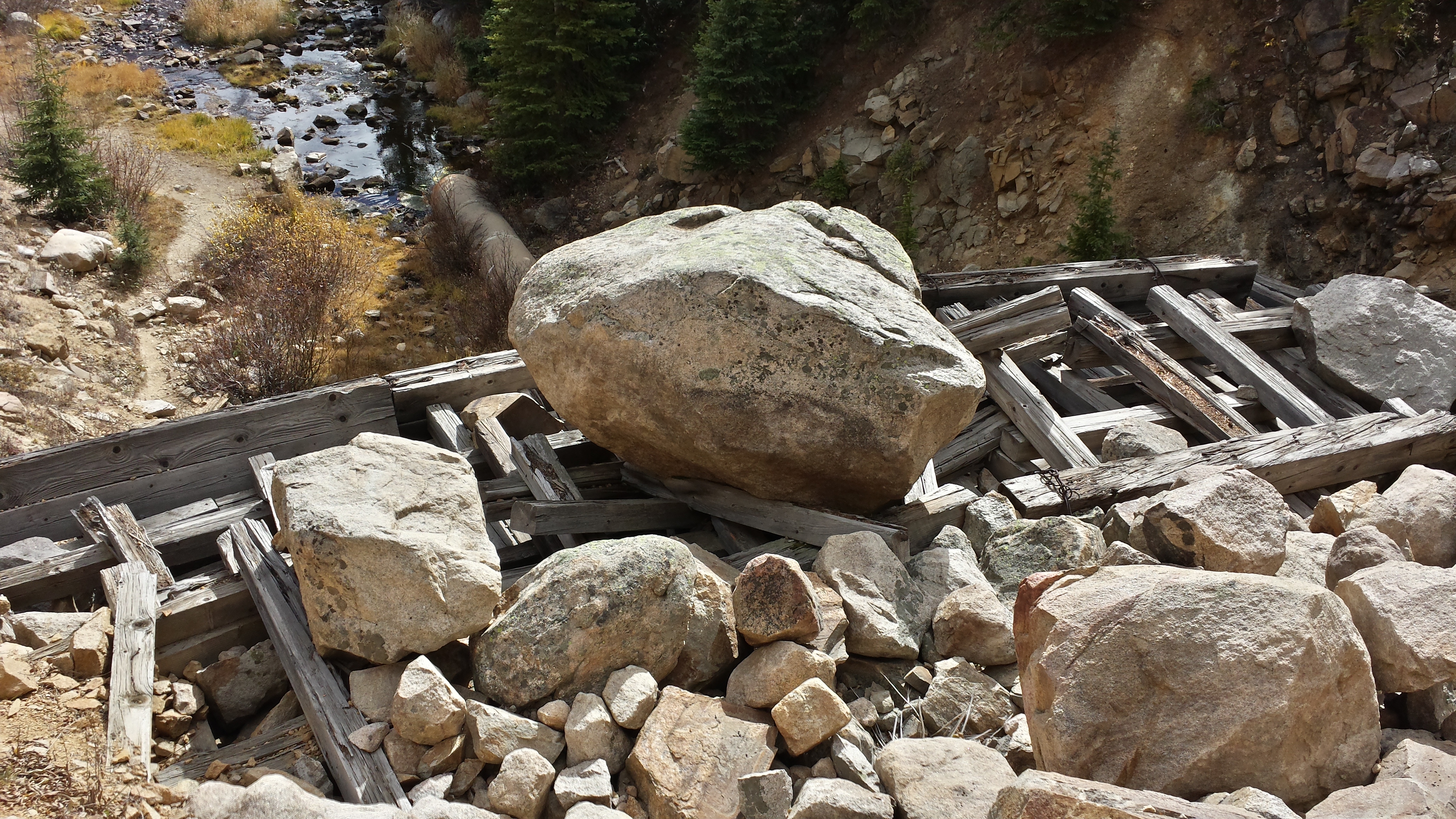
Looking down from above on some of the cribbage that keeps the tunnel entrance from being inundated with rockfall.


Down at the reservoir to the west of Leadville as we head back to Denver.

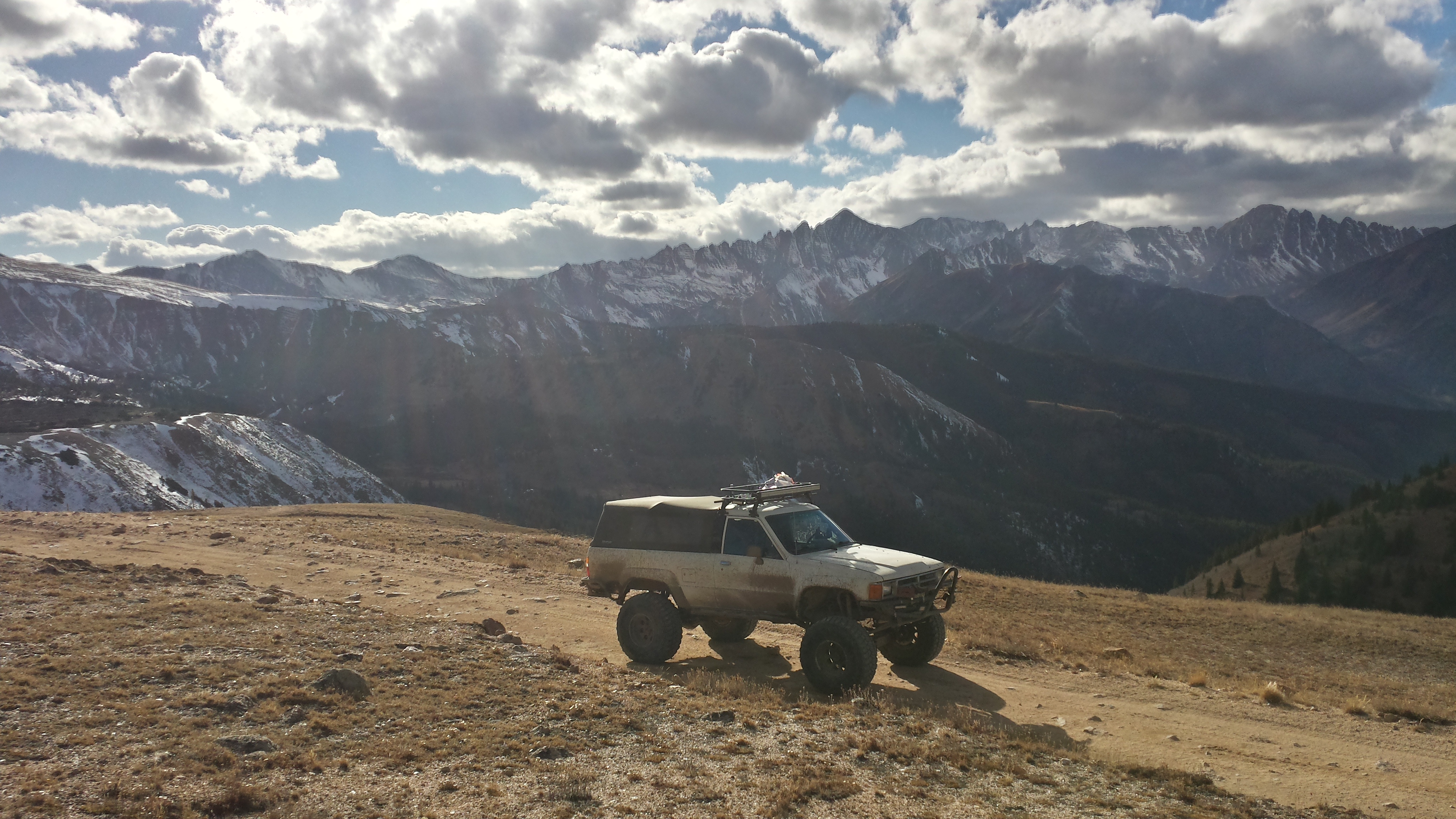
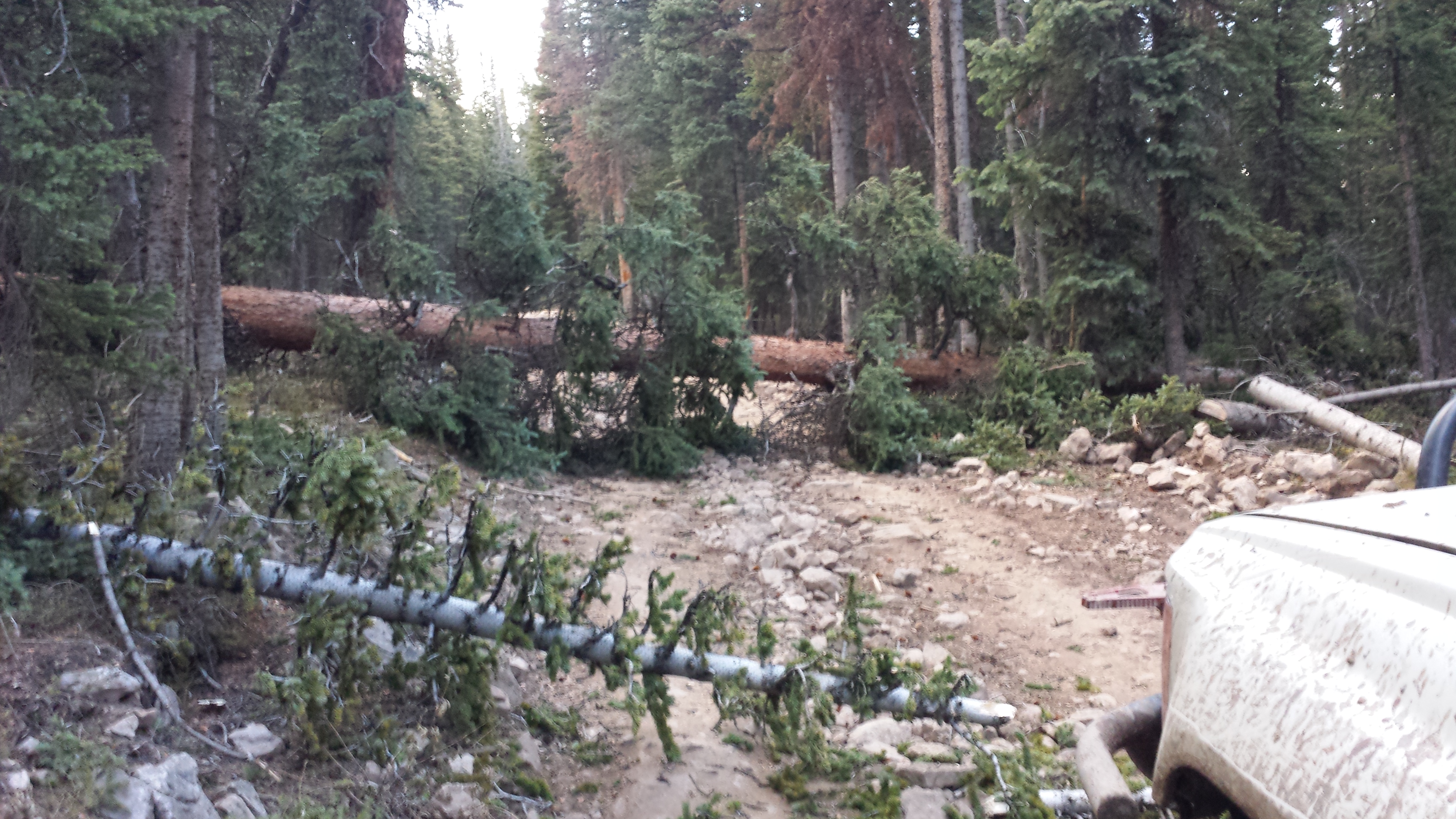
We got the truck pretty muddy this weekend splashing around in the mud and having a great time exploring another part of Colorado.

Maroon Bells

After spending the night in Aspen following our adventure on Richmond Hill the day before, we went out to Maroon Bells to check out the vista in the morning.  Some storm clouds were starting to pop up already even this early in the morning.  The night before the bells received a light dusting of snow.

We almost completely had the place to ourselves.  It doesn’t get much better than this for a location to air up tires on a truck.

While I was airing the tires up, I found some evidence of the adventure from the day before.  Chunks of wood were embedded in the front axle from where we drove over the top of fallen trees.

That’s a big chunk of wood lodged in the axle hanger!

This view is just to the west of the lake below the Maroon Bells but very few people ever bother to photograph it.  It’s just as pretty as the main attraction.

Richmond Hill and Aspen Mountain

The road from Taylor Pass along Richmond Hill to Aspen Mountain is without a doubt one of the most gorgeous drives in Colorado.  The Maroon Bells are off to the west and the Collegiate Peaks are to the east.

No matter where you look, there are huge views.

Looking to the east toward the general direction of the town of Tin Cup.

We took a wrong turn and ended up at this remote mountain cabin that’s maintained by the 10th Mountain Division Hut Association.  This particular hut is part of the Alfred A. Braun Hut System.

Back on the road in the correct direction heading toward Aspen.

Along Richmond Hill, we ran into many downed trees from a very recent wind storm.  We were able to get around all of the downed trees but it was touch and go in a few spots.

Who ever thought you’d need a chainsaw on alpine roads in the high country?

The wind started picking up again while we were in the trees so we beat it out of the woods in case any more decided to fall.

The crazy adventures through the forest were worth it though to get some breathaking sunset photos with the Maroon Bells behind us.

It was just amazing up on this mountain in the evening.

In a few more weeks, this will all be covered with deep snow.

Here we are with our beloved 4×4 truck!

We finally made it to Aspen Mountain where the chair lifts end and found the road down the hill into the town of Aspen.

I bet most of the people who come to ski Aspen in the winter don’t realize that you can drive on the slopes in the summer.

The somewhat famous ski fence partway down the mountain.  It was just about completely dark by the time we got to here.

Looking through the front windshield down onto the town of Aspen.  We didn’t get into Aspen until pretty late in the evening.  It was quite the adventurous day to come all the way from the Paradise Divide over Italian Creek and the Reno Divide, to Taylor Pass, and now along Richmond Hill and Aspen Mountain.