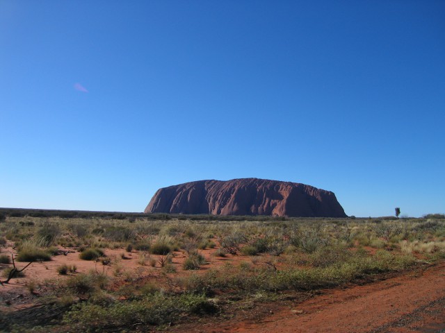
Ayers Rock in the Morning


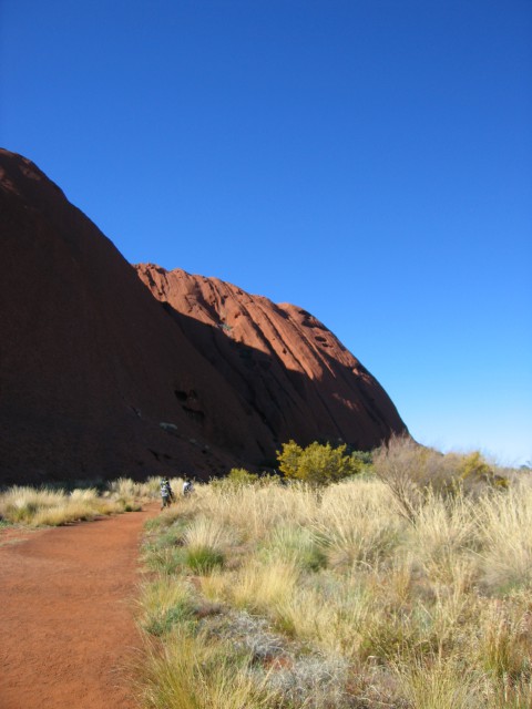
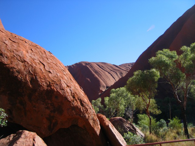
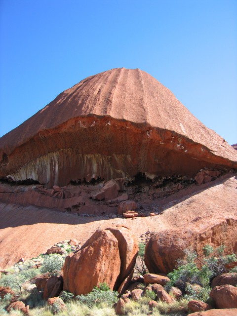
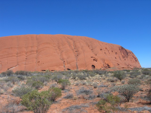
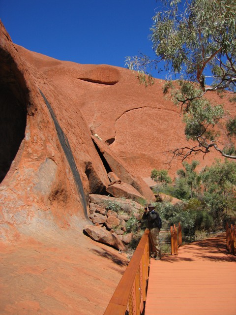
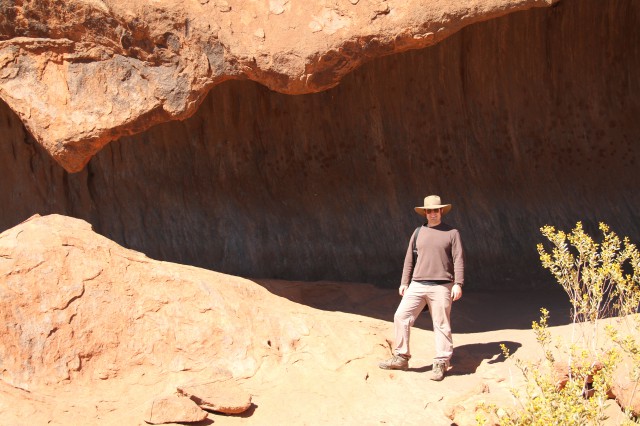
Upon arriving at Ayers Rock, the expedition made a circumnavigation of the megalith on foot.


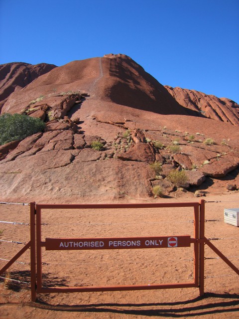
The ascent route to the top of Ayers Rock was closed due to high winds.  Incidentally, it is quite distressing for the local aboriginal communities for people to tromp atop their sacred rock.


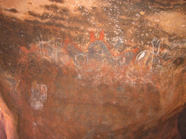
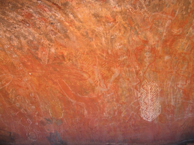
Aboriginal rock art.


Rock heart.


Don’t take pictures.


It appears to be a primitive whack-a-mole game.


The Road to Ayers Rock


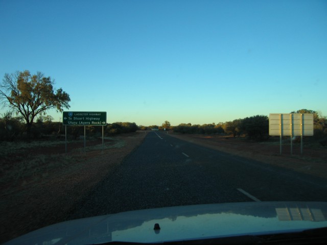
A fork in the road ahead.  To the left, the Stuart Highway and anonymity on the endless tarmac that stitches Australia together.  To the right, the chance to lose oneself into the blessed oblivion of Ayers Rock.


The expedition chose to go right.


Lest one forgets, the left side is the proper side to drive upon.


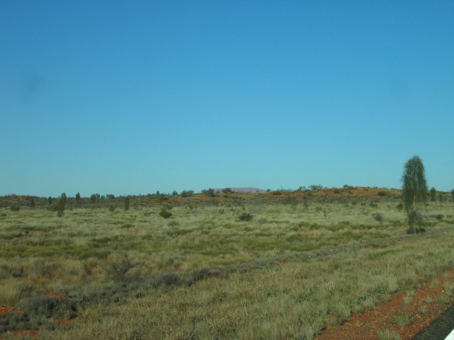
NOT Ayers Rock in the distance.


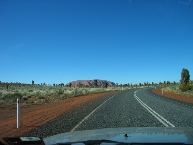
The real Ayers Rock.


The expedition thusly arrived at Ayers Rock.


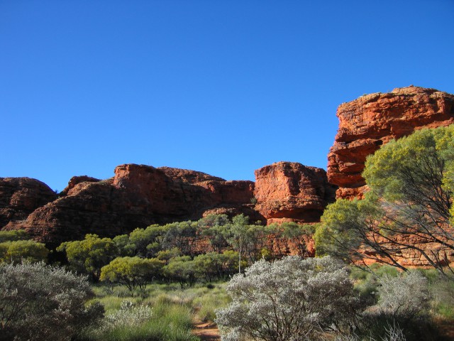
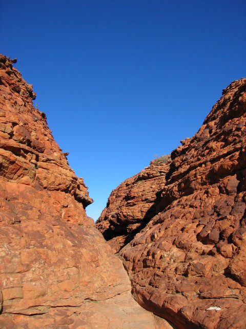
Kings Canyon


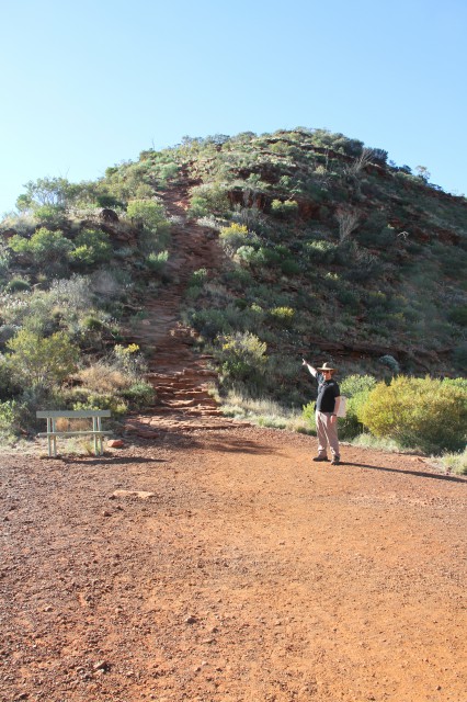
Onward and upward the expedition goes to Kings Canyon deep in the Australian Red Centre.  Here I am pointing the way up the mountain to a high vantage point of the canyon complex.

Far below the car park can be seen.
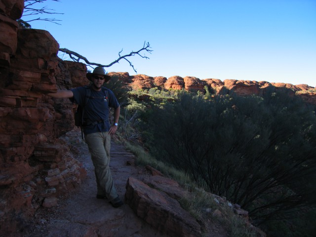
 

Lord Bailey at rest on the pathway.


Careful of the sharp drop-offs!


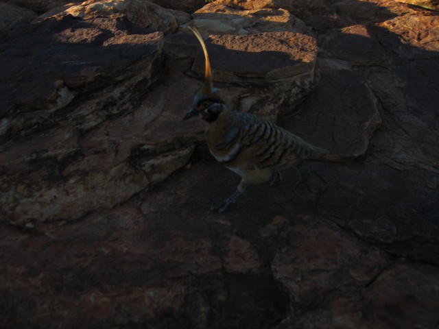
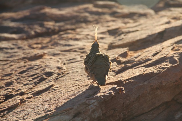
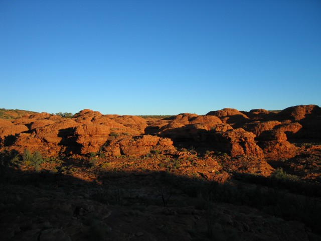
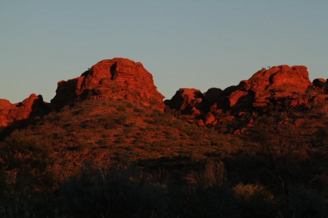
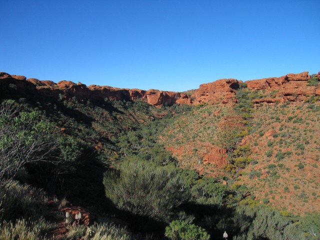
The red cliffs of stone are home to a host of avian species.  The expedition biologist had a marvelous time cataloging and preserving specimens.


A steel walkway over a deep chasm.  The remains of the prior bridge were at the bottom of the fissure.
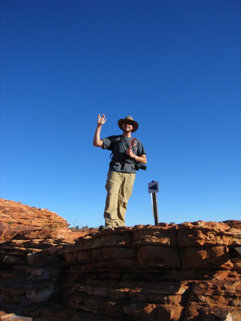
 

Lord Bailey gives a salute reminiscent of a previous expedition to the deserts of the American Southwest.


Ripples in the sandstone.


A complex staircase system to climb up one side of the canyon.
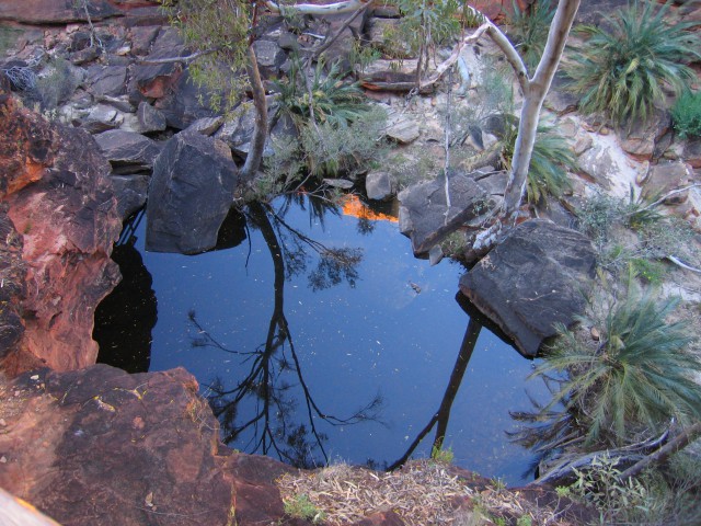


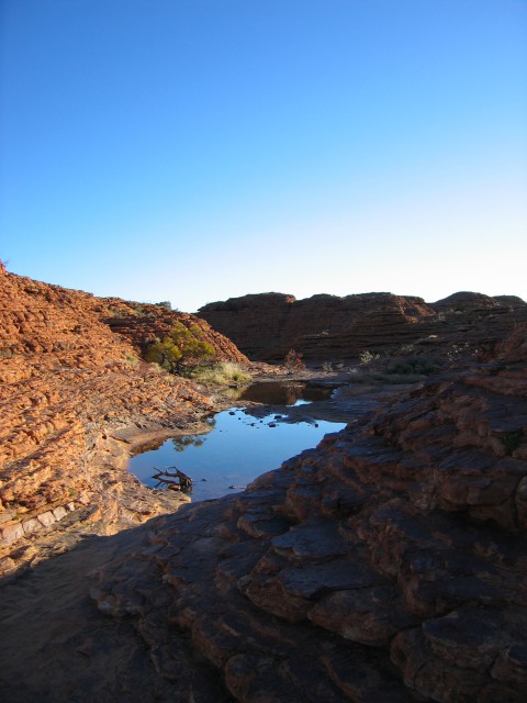
Water at the bottom of the canyon.


An odd bird that the expedition collected.