South Sister Ascent to the Glacial Lake

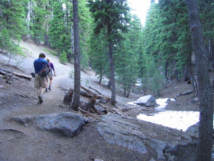
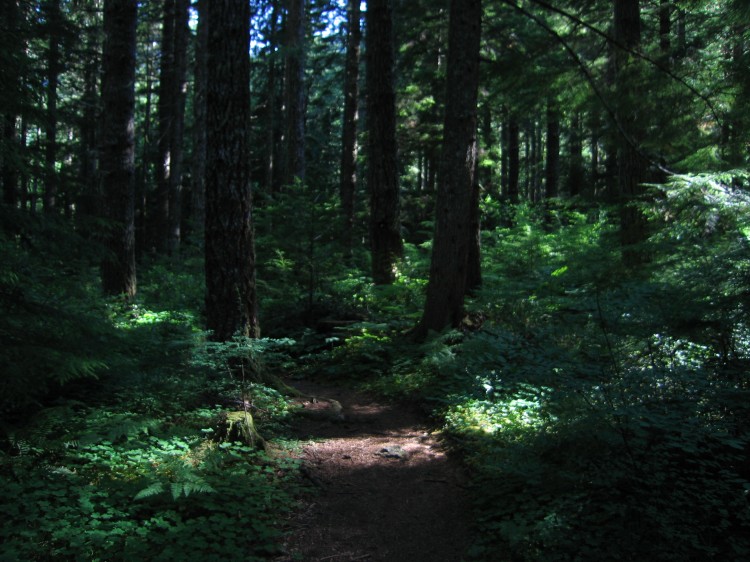
Sunday morning we headed out from the trail head at Devils Lake with the goal of reaching the summit of South Sister by about noon.  We started our ascent at 7:30am.  Sometime the night previous, Adam, Jen, and Tammy joined our encampment.  All of us struck up the trail together.  Even before we got to the first plateau, we were encountering snow in the ravines and gullies.

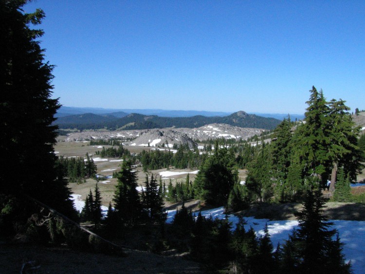
Our objective is sighted.

Moraine Lake and Mount Bachelor in the background.

Walking up the superhighway of a trail toward the summit.  It’s almost absurd how many people climb South Sister on a nice day.

Getting closer but still so far away.

Coming off up the plain and now starting to ascend the south flank of South Sister.

Click through the image above to see the panorama in a larger size.

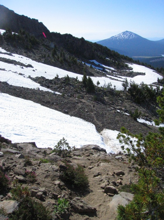
Lots of snow fields.  We crossed about four or so snow fields during the ascent.

Above treeline.  Broken Top is just visible on the left and Mount Bachelor is on the right.

Lots of snow for this late in the year.  Click on the image above to go to a larger version of the panorama.


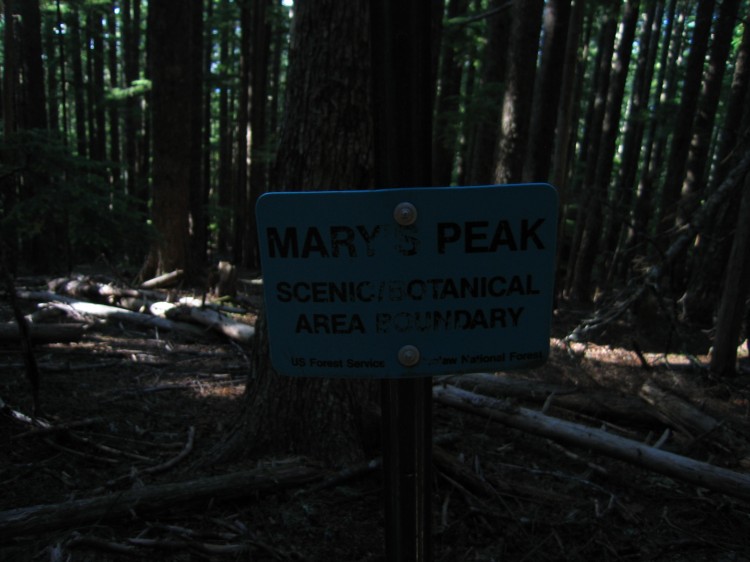
North Ridge Trail to Marys Peak

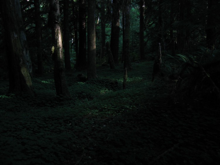
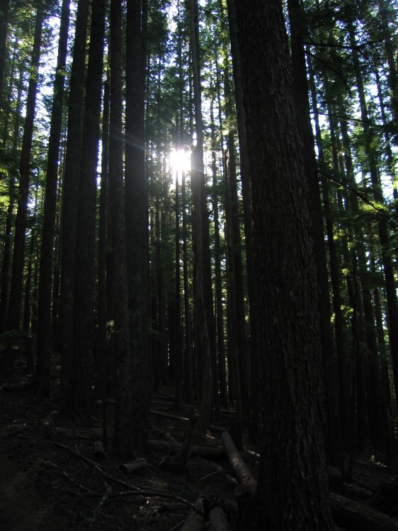
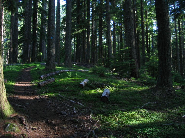
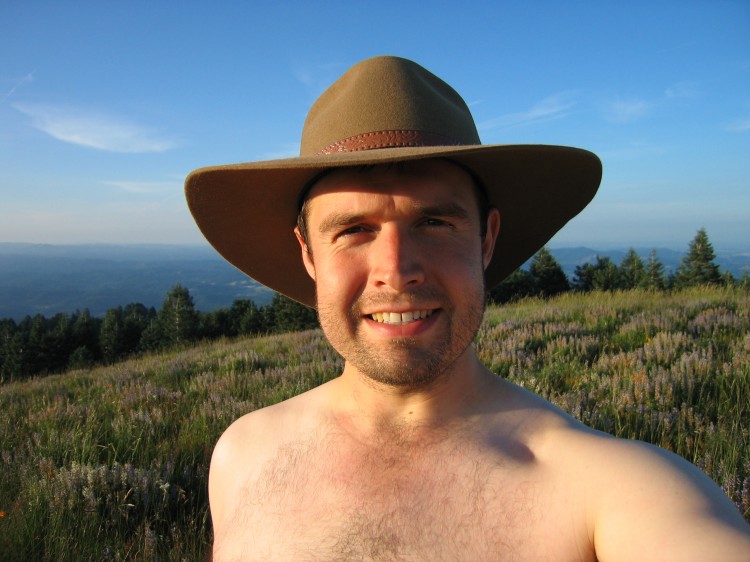
This evening Adam and I hiked the North Ridge Trail and Summit Trail to the top of Marys Peak.  According to the internet, North Ridge Trail is a 7.7 mile round trip and Summit Trail is 1.5 miles.  I would hazard a guess that these numbers are low.  We were hiking at a 3.5 mph pace up and it took us roughly two hours to reach the summit.  Coming down it took 1.5 hours and we were moving much more quickly.  So I suppose an estimate of about 10 miles for the whole round trip would be about right.  Certainly the roughly 2500 feet of elevation gain and loss was a nice workout.  The 30 lb pack I was carrying helped, too.

The entire time we were hiking and up on top of Marys Peak we didn’t see another person.  Due to the road closure this summer, the summit has been practically deserted.  I will be heading back up Marys Peak real soon.  It is such a treat to enjoy the hike and the summit without anyone else being up there.


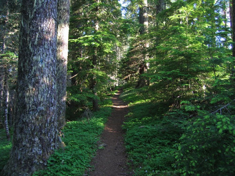
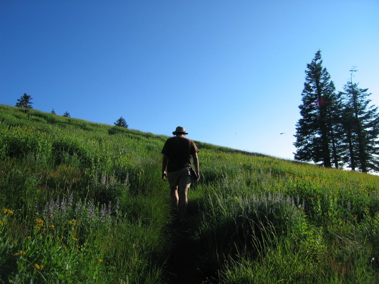
 Hiking up is a near vertical experience.


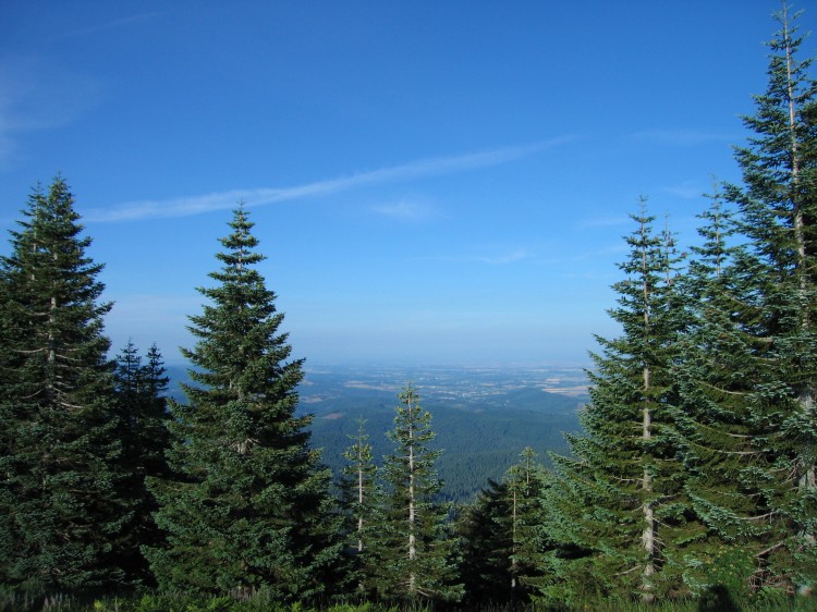
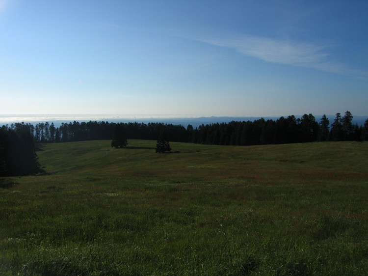
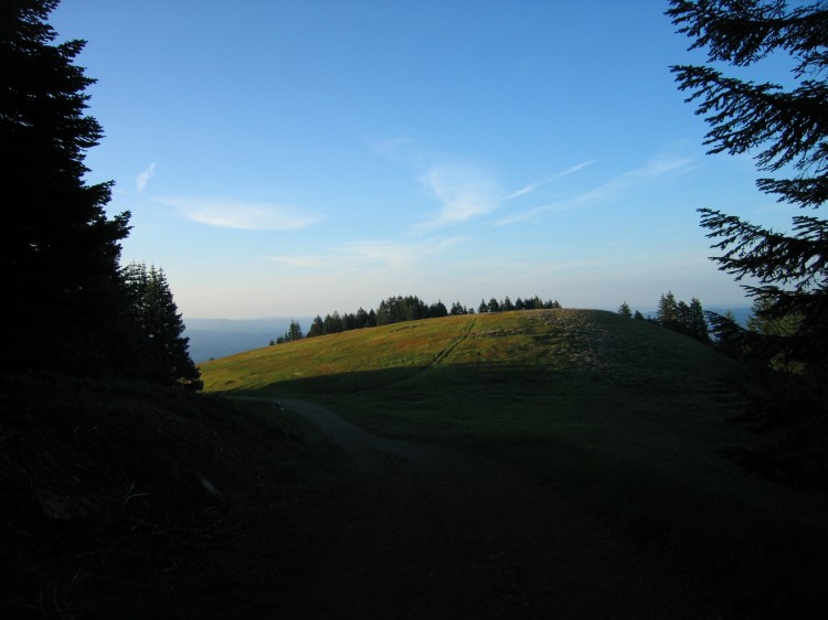
 At the upper parking lot.  Corvallis and Philomath are in the distance.

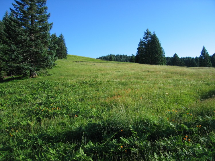
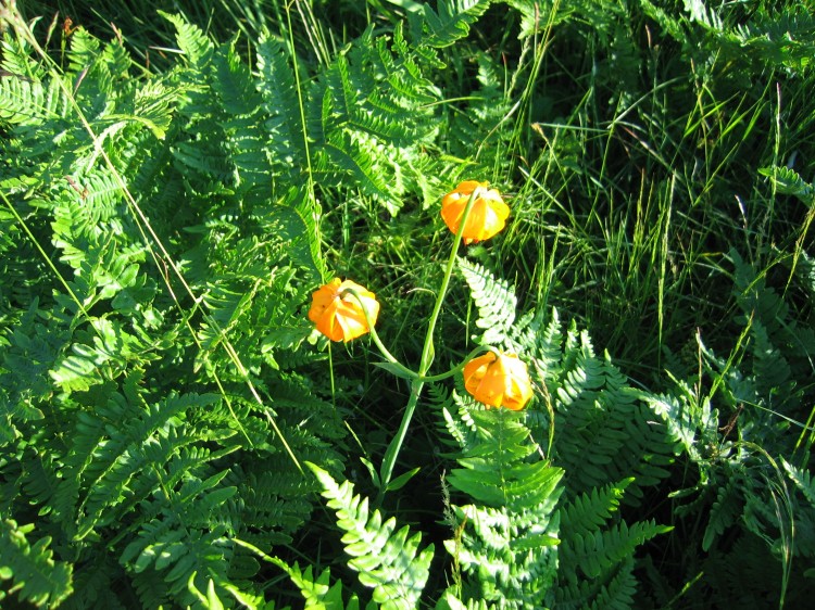
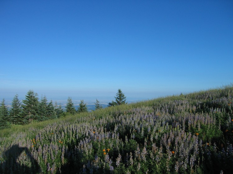
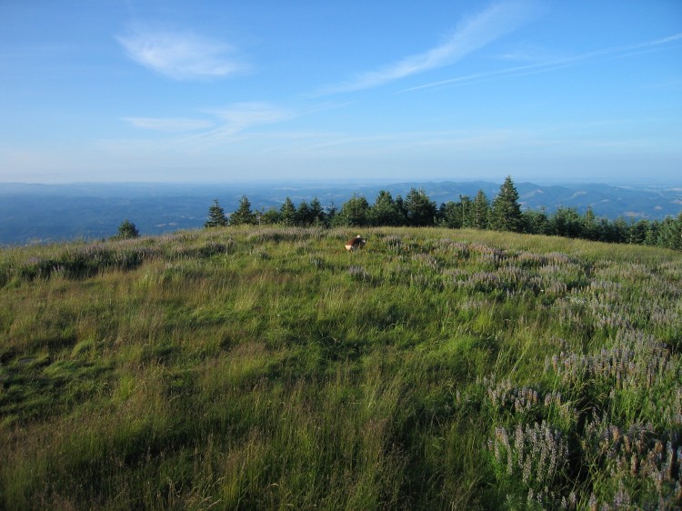
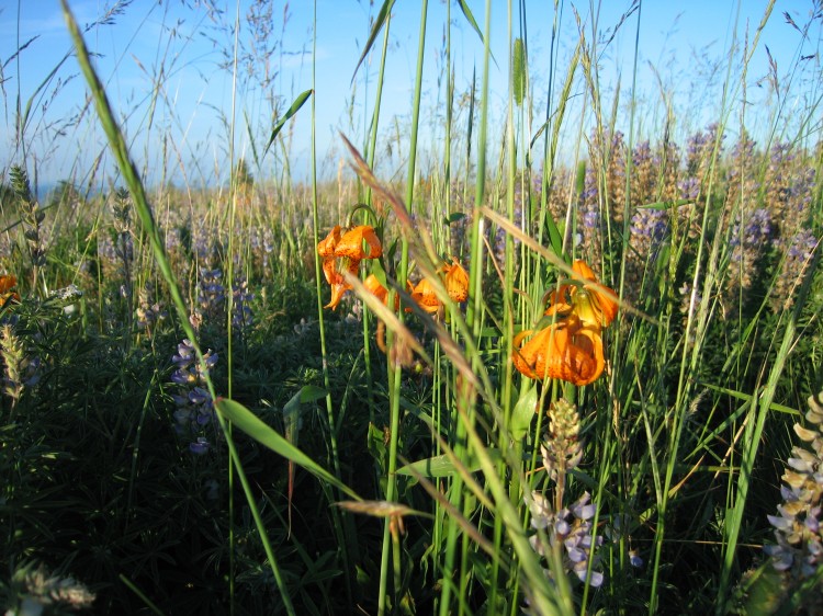
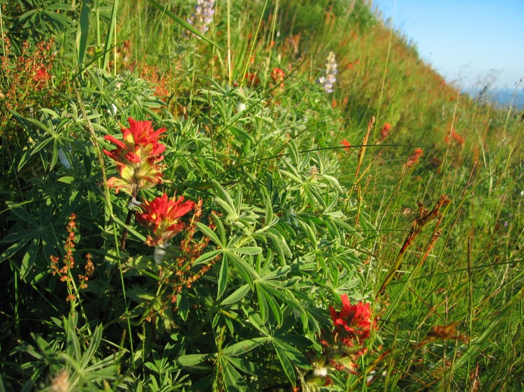
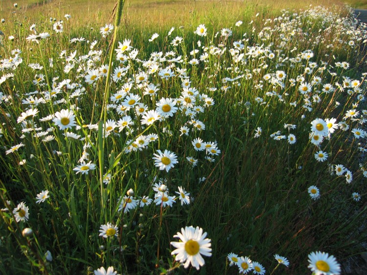
 The wildflowers are still amazing up on Marys Peak.


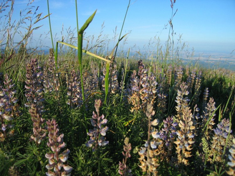
 Lupine abounds at the top.

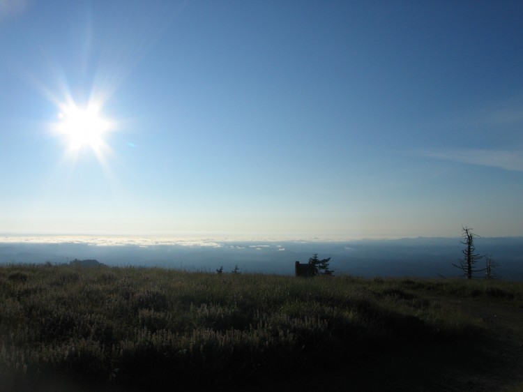
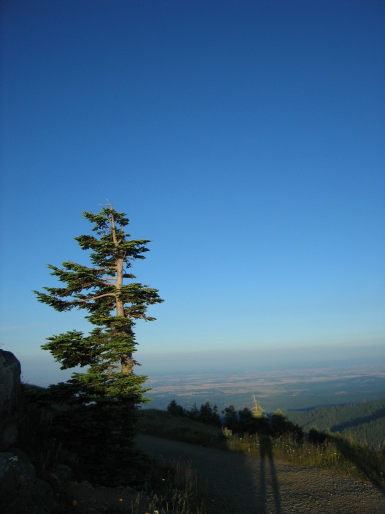
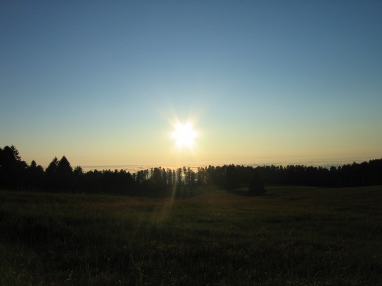
 Somewhere out there is Japan.


 Corvallis is that way.

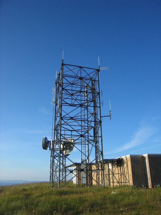
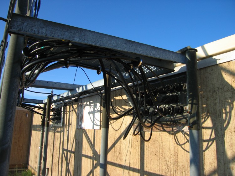
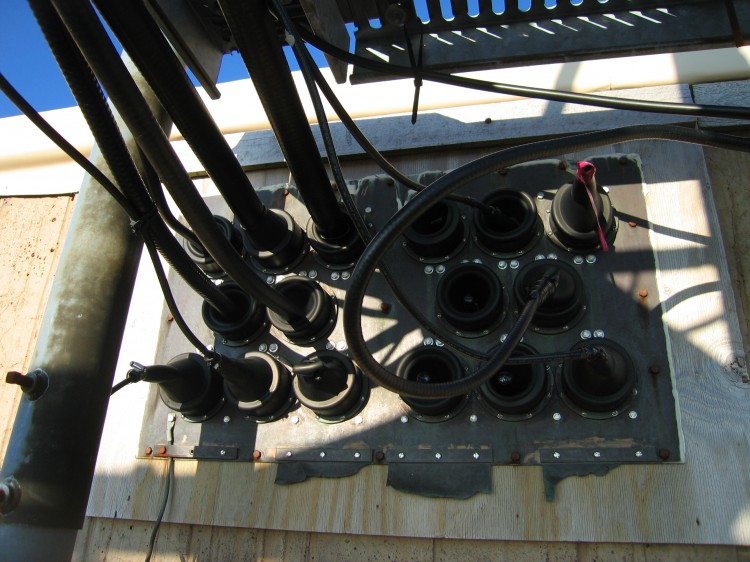
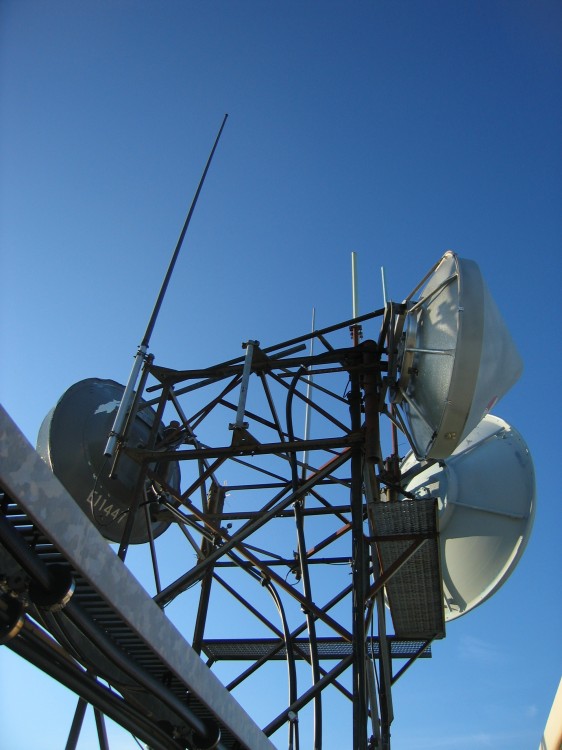
 Transmitters on top.


 Lupine close-up.


My shirt was drenched in sweat when I reached the summit.  I consumed 100 oz of water and about a shot glass worth of salt on the way up.  On the way down I took another quart of water but no salt.


A panorama on the summit.


Hiking down we were able to make it to within a mile of the car before we had to pull out a flashlight.  Not bad for an afternoon hike.  I’m looking forward to going out there again real soon.