Camp Sherman and Around

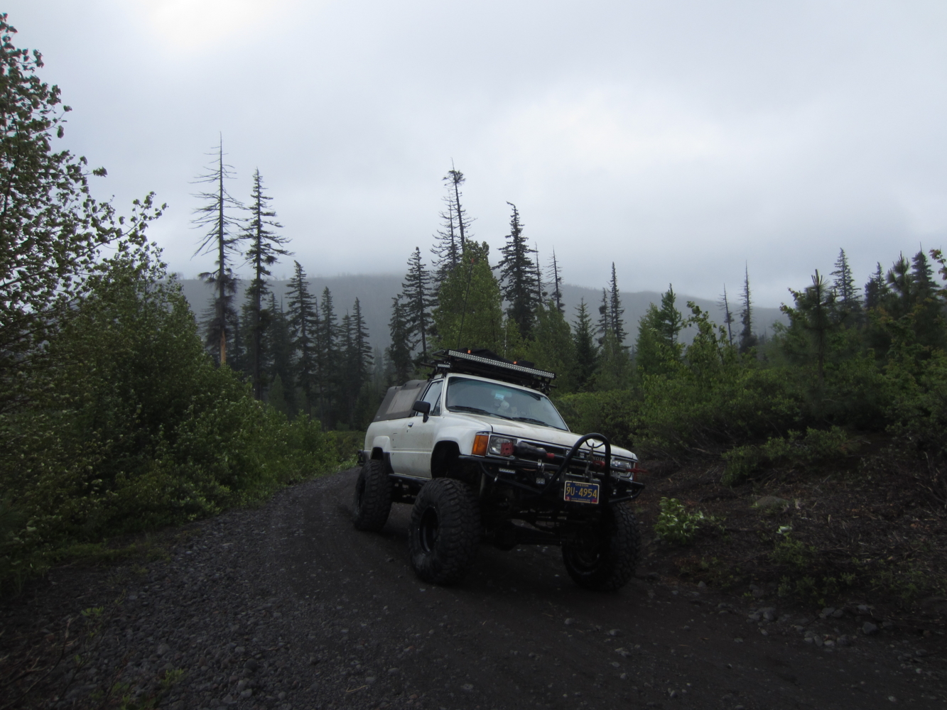
On our last morning of our long birthday weekend, we checked out a few things around the general Camp Sherman area.  We went up to the road closure on the McKenzie Pass Highway.  The snow still is too high for the road to open.

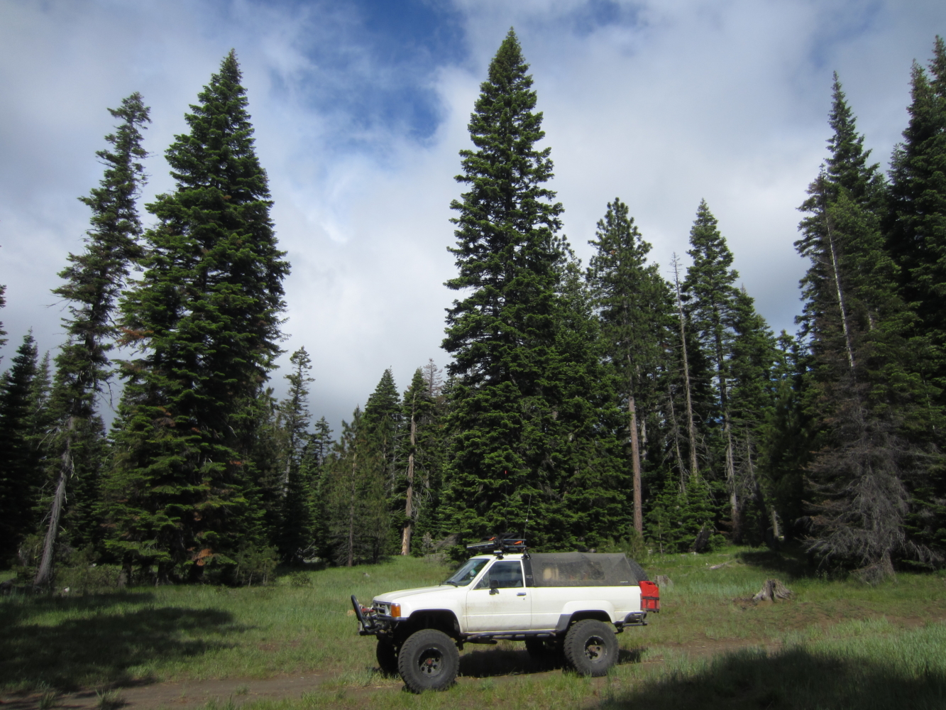
Down a little lower where it’s already spring.

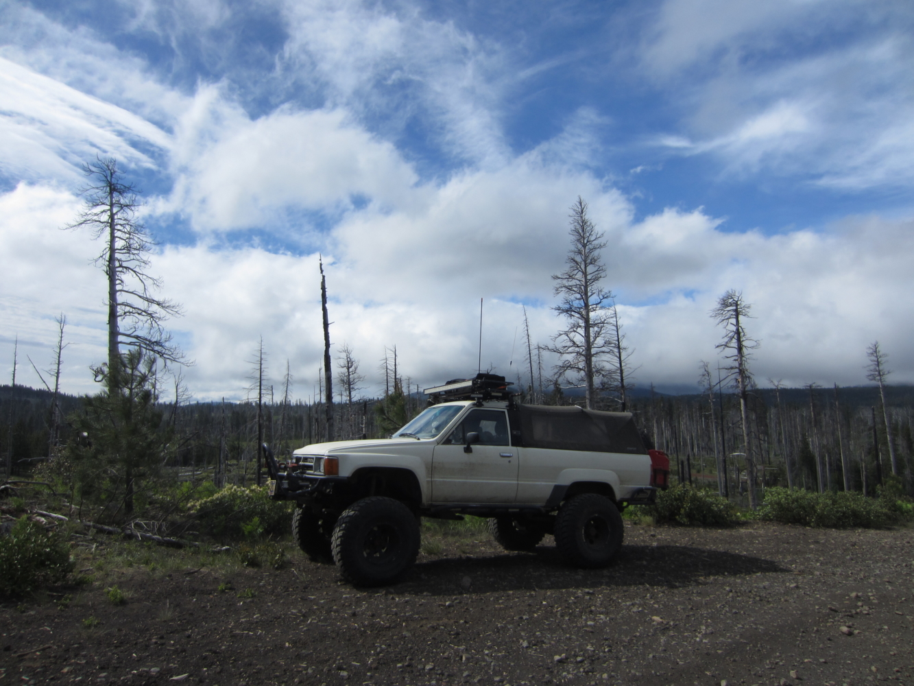
Up in one of the burn areas where a big fire swept through a number of years ago.

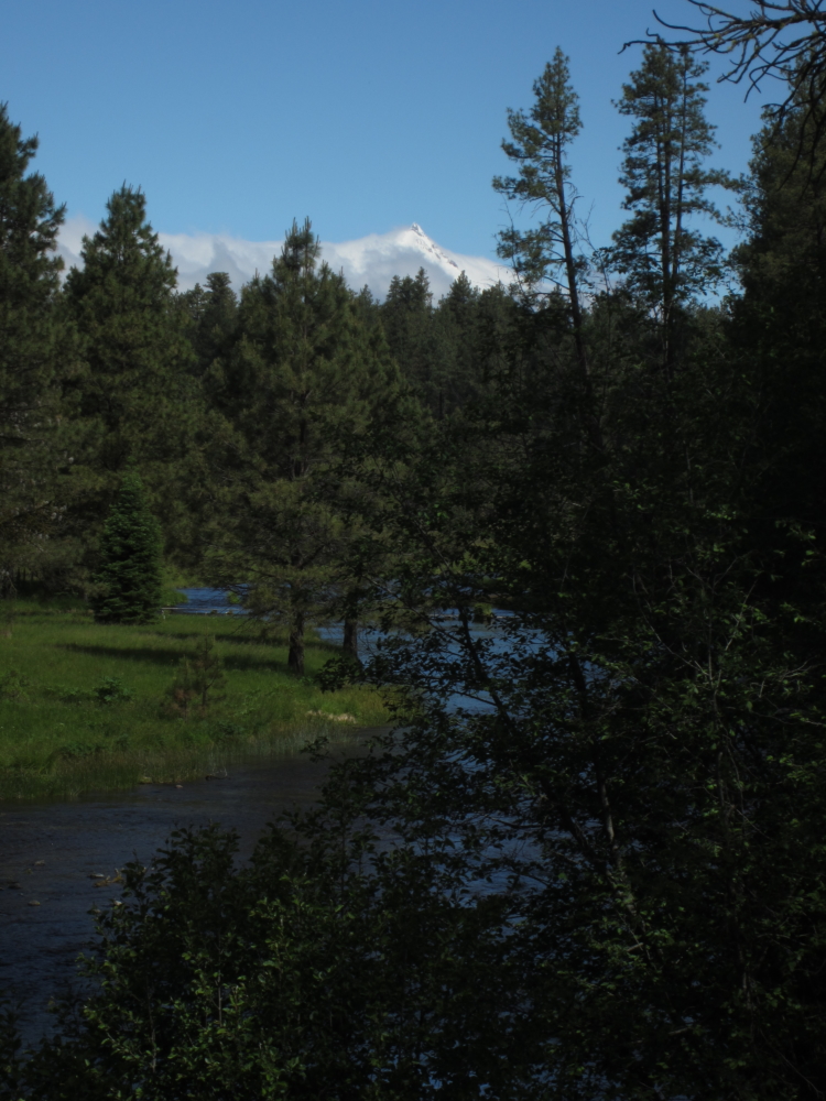
Looking north and west toward either Mount Jefferson or Three Finger Jack above the Metolius River close to the headwaters of the Metolius.

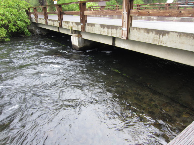
Down at Camp Sherman along the Metolius River.

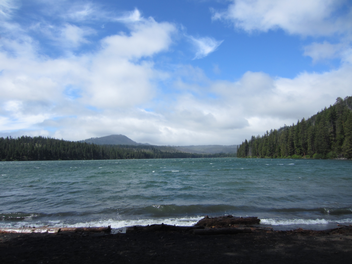
Up at Shuttle Lake.  There was a lot of wind coming across the lake.

Heading up into the clouds and the end of our long weekend in Central Oregon.

Camp Sherman

IMG_9046

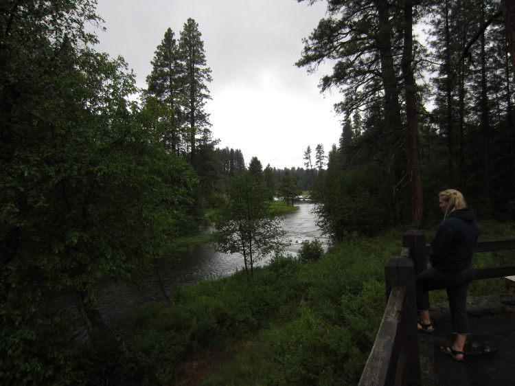
The Metolius River runs through the middle of the little community of Camp Sherman.  The river is cold and clear here.

IMG_9048

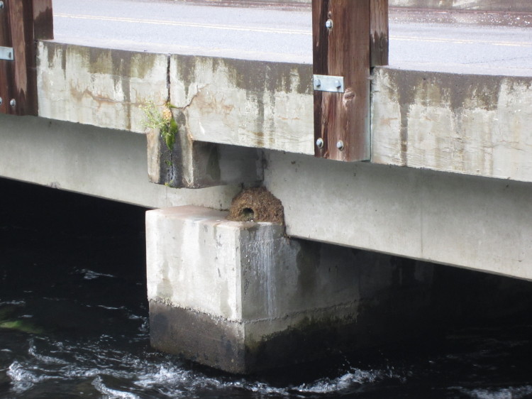
A swallow nest on the bridge footing.

IMG_9061

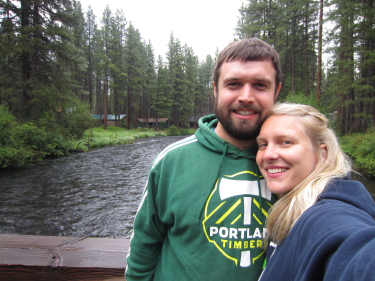
On the bridge with the downstream direction behind us.

IMG_9062

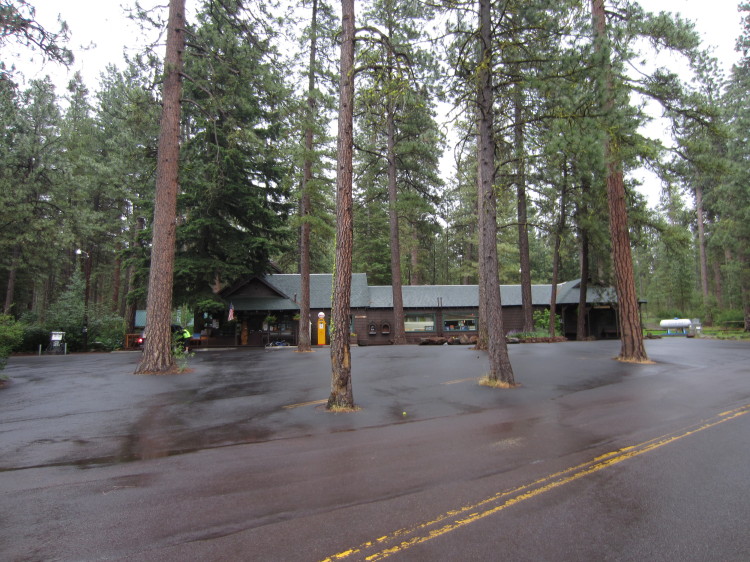
The little general store and gas station.

STA_9053-STH_9060The Metolius River.

Head of the Metolius

IMG_9027

The head of the Metolius River.  It literally springs from the earth in a few hundred meters as a full-formed river.

IMG_9029

The river in all its glory just downstream from where it suddenly appears.

IMG_9033IMG_9038

The Forest Service has done a nice job of clearing out the under-story around Camp Sherman to reduce fire danger and return the land to its more natural state.

STA_9021-STF_9026The river starts on the left next to the big tree in the foreground and is fully formed not long after.