Hike to Lost Lake

IMG_8436


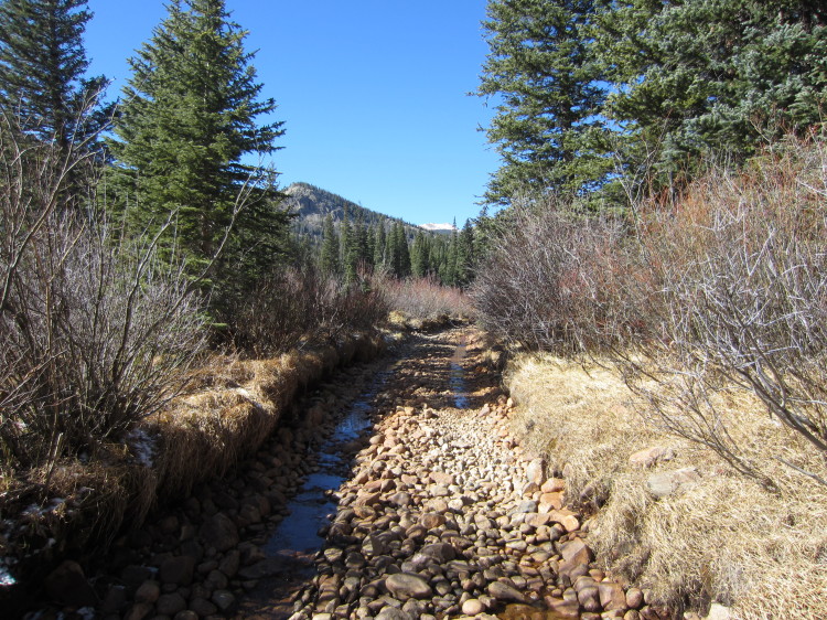
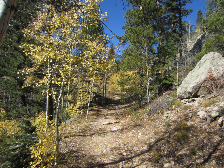
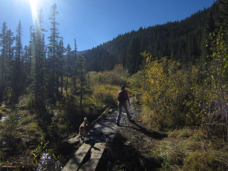
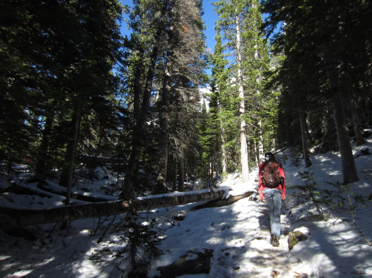
We hiked up the old access road to the mines above Eldora to visit Lost Lake.  The first half mile of the hike goes along a still-active roadway that once connected ot the mining claims in the mountains.

IMG_8437


This was a bit too rutted for my lowered Subaru.  We hiked it rather than try driving the half mile to the trailhead.

IMG_8440


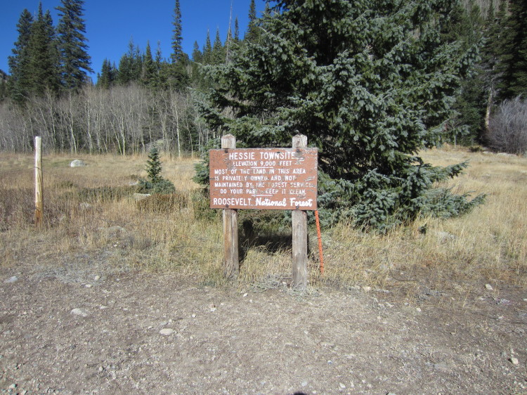
The old Hessie townsite.

IMG_8441

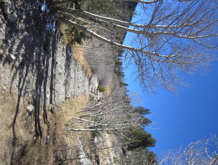
This land is in the Indian Peaks Wilderness which was established in 1978.  The open road ends at the wilderness boundary.  I would guess that is when the road past that point was closed to motorized vehicles.  Today it is still obvious that this route once had trucks bouncing up the grade.

IMG_8442


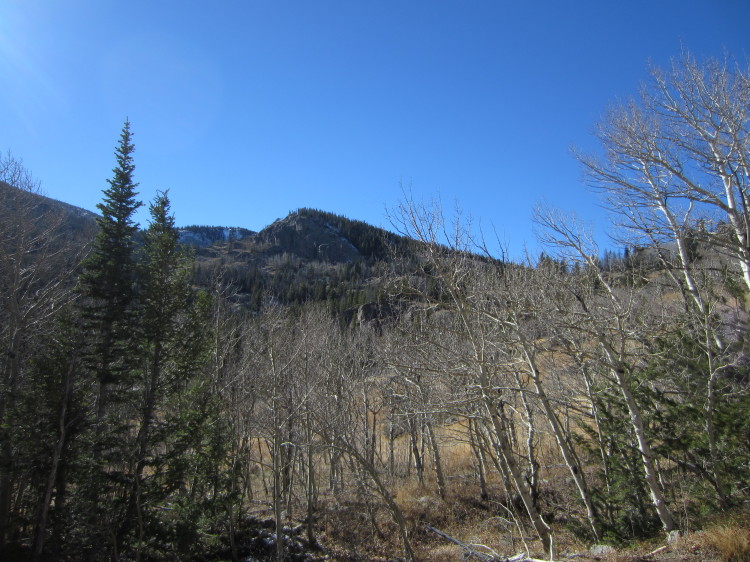
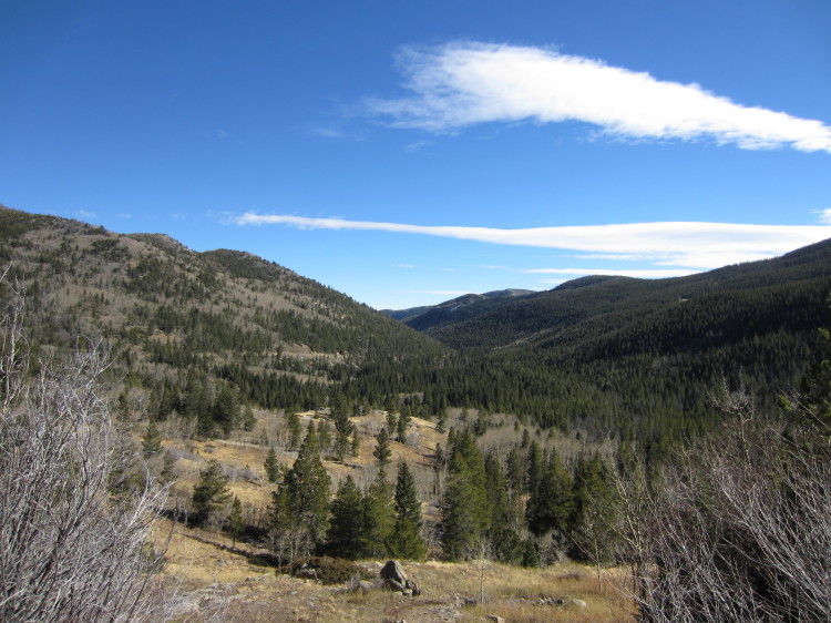
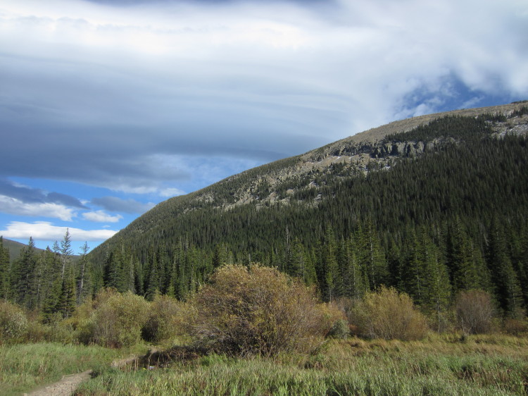
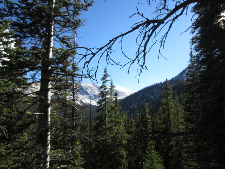
Looking up toward some of the lower peaks south and west of the old road.

IMG_8444


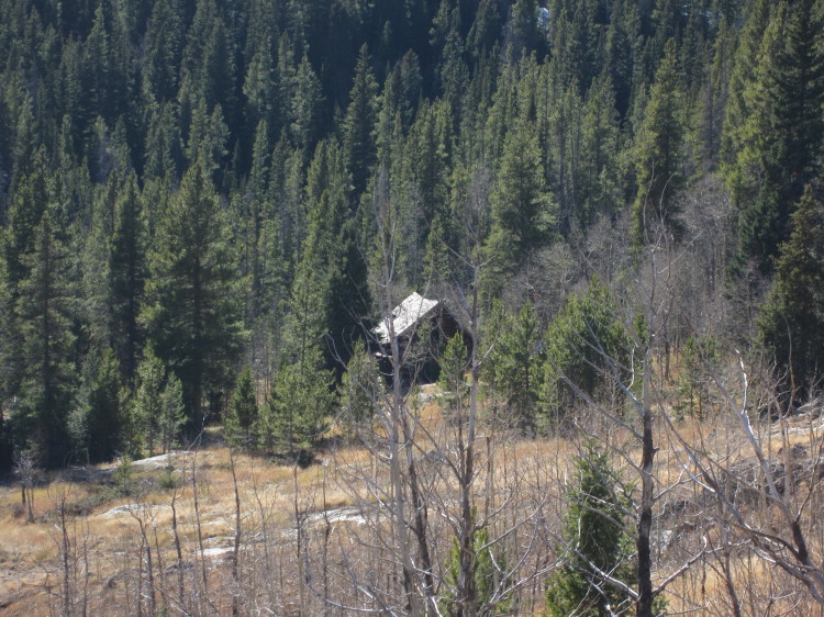
An old cabin along the way that is getting ready to melt into the earth as soon as the roof fails.

IMG_8445


Looking east toward the low country.

IMG_8446

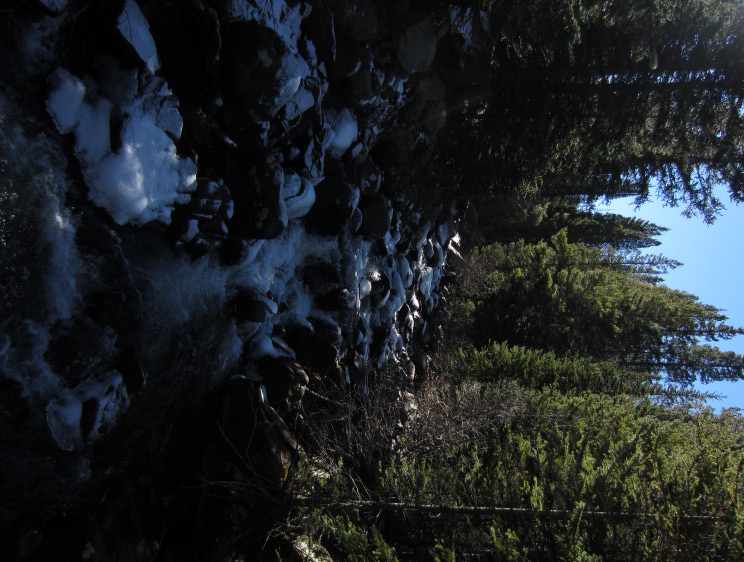
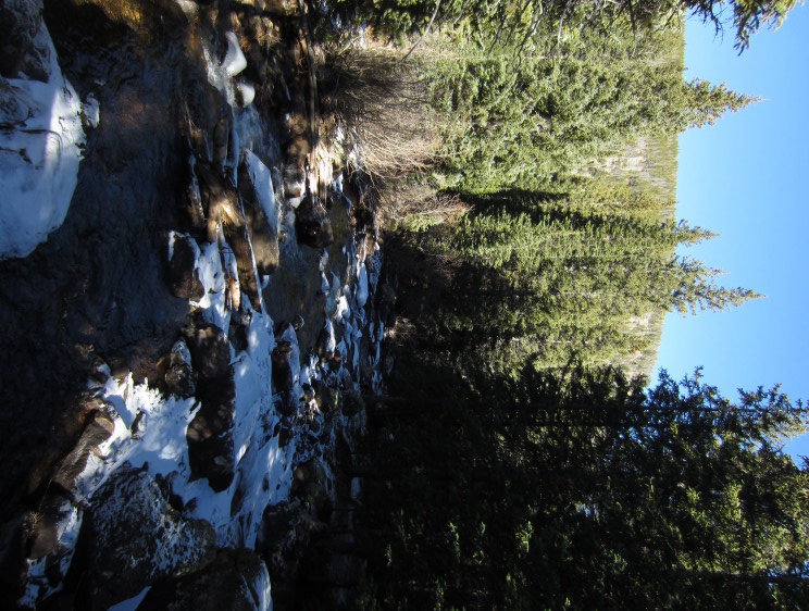
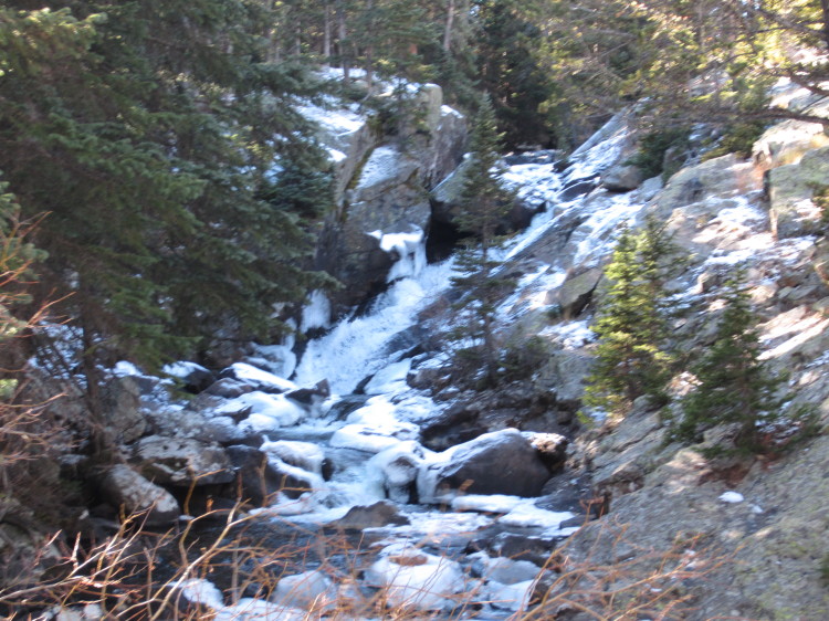
Crossing over a large creek.  Lots of ice in the waterway.

IMG_8447

IMG_8448


An icy cataract.

IMG_8459

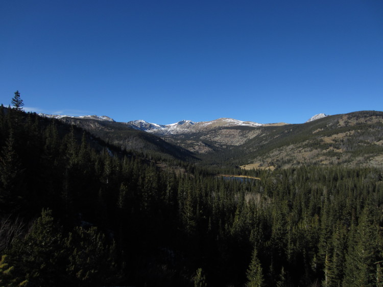
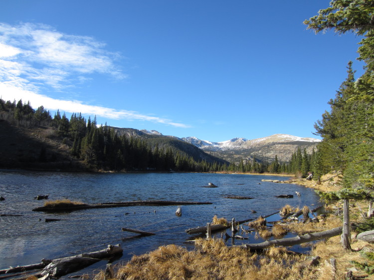
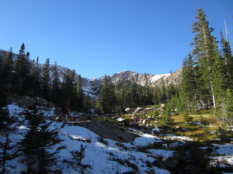
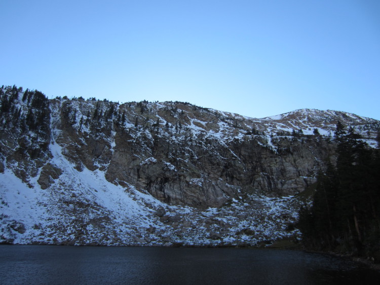
Up at Lost Lake looking nearly due west toward the continental divide.

STA_8449 - STJ_8458_blended_fused

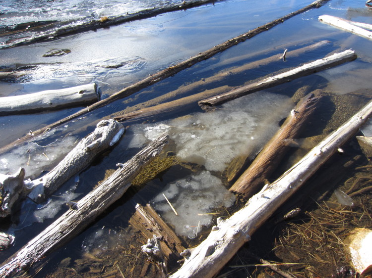
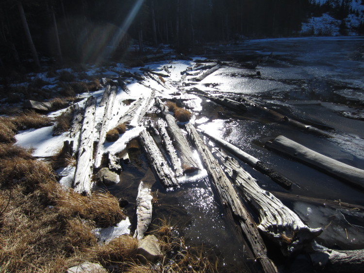
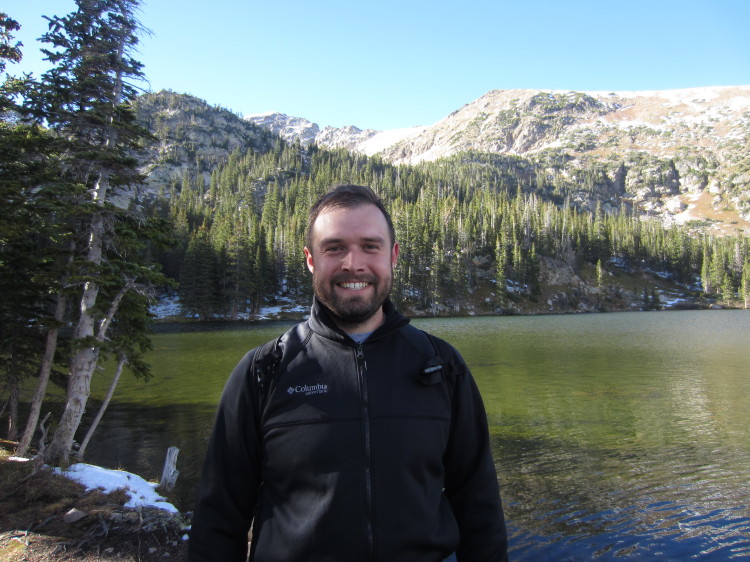
The lake had some ice around the edges from the last several nights of freezing weather.

IMG_8460


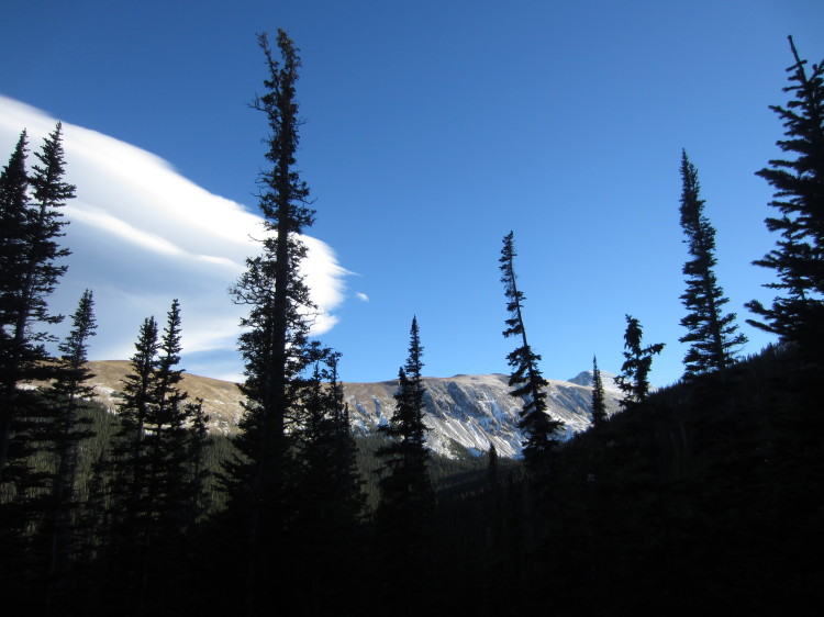
Big mountains.

IMG_8464


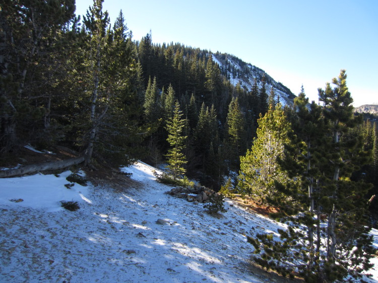
Heading up the old track to what I think is the Lost Lake Lode Mine.  It is a bit difficult to determine the mine’s name from the BLM databases but I believe that this area was all part of the Lost Lake Lode Mine.  Perhaps someone can comment on this post and tell me exactly what the name of this mining complex really is.

IMG_8465


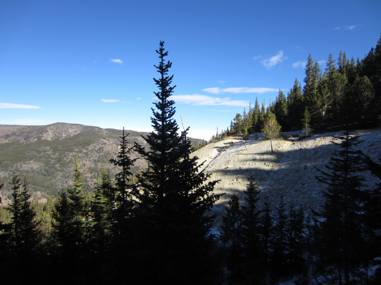
A big tailing pile on the side of the mountain.

STA_8466 - STK_8476

Looking out to the west and north from the tailing pile.

IMG_8477


Big mountains on the horizon.

IMG_8478


Another small tailing pile down the hill.

IMG_8479

Heather at the edge of the tailing pile.

IMG_8481


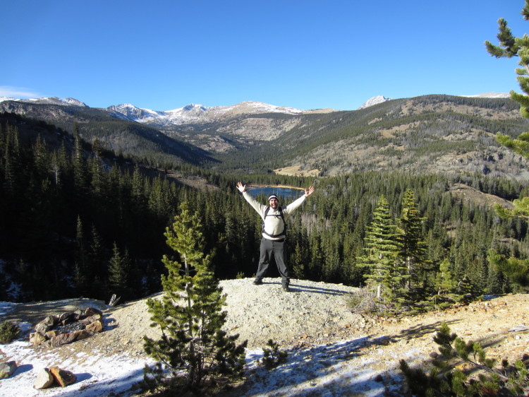
Holding up Lost Lake.

IMG_8482


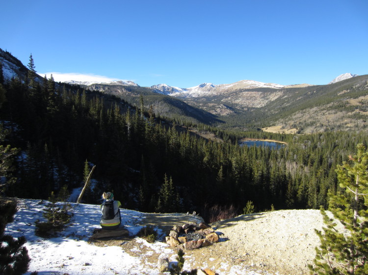
There are a couple of fire rings and some good places for tents here.

IMG_8484


An old cabin site.

IMG_8486


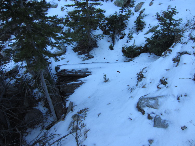
Possibly an old adit access tunnel to the mines.

IMG_8488


Heather looking out on the continental divide.

IMG_8490


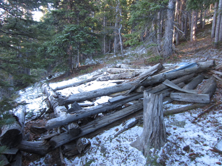
Old collapsed mining buildings.  There were many mining sites around Lost Lake.  According to the BLM, there was gold and silver mining in this area.

STA_8491 - STI_8499_blended_fused

Back down on the lake.

IMG_8507


Ice on the lake surface.

IMG_8508

IMG_8509

We ate an apple and then headed back down to the car.  This was a good little hike and perhaps one of the last in the high country this year before the snow finally comes.

Hiking through Frazer Meadow and up Ralston Roost in Golden Gate Canyon State Park

IMG_7933

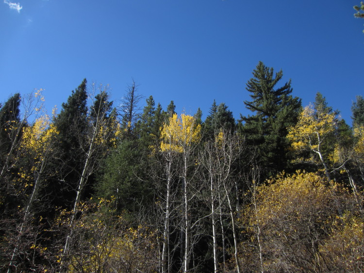
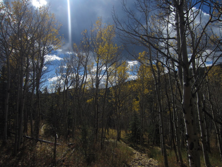
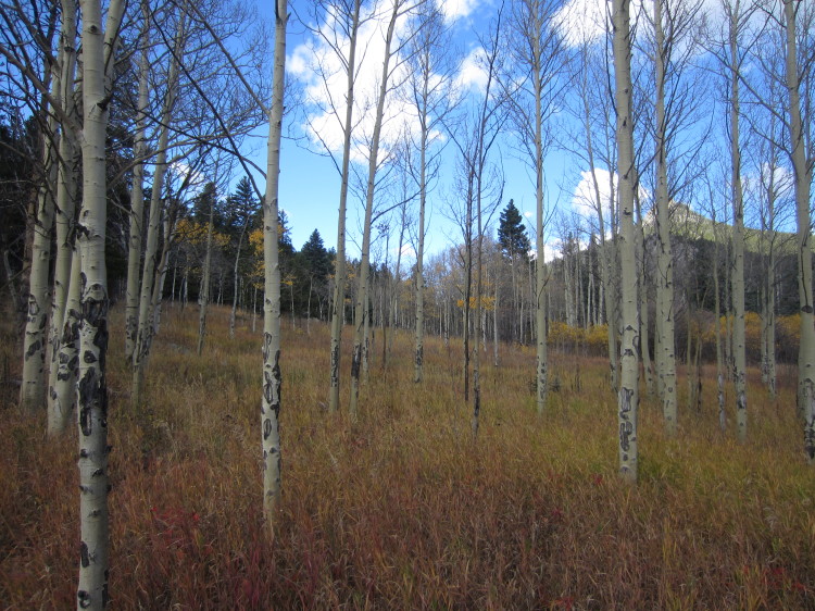
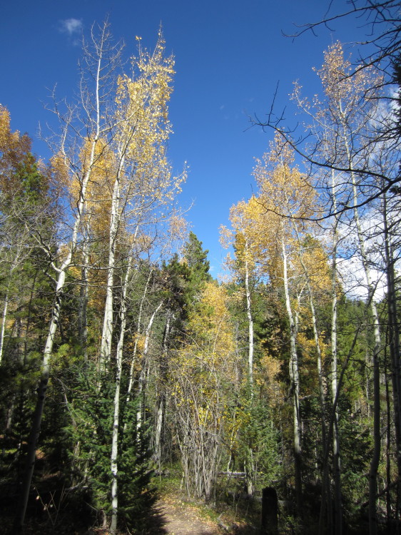
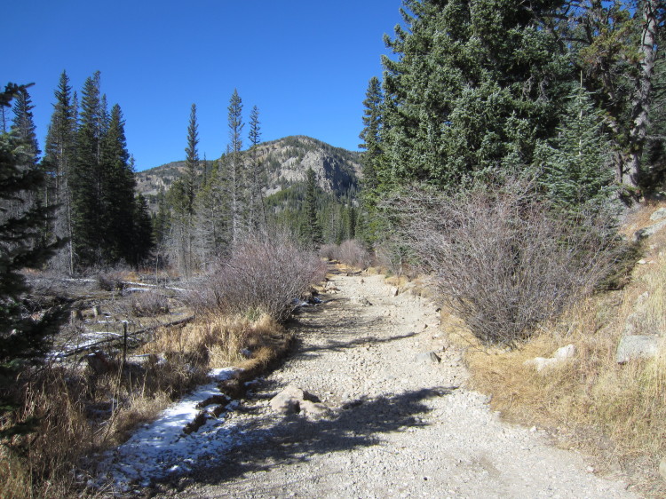
Heather and I went on a hike in Golden Gate Canyon State Park.  We hiked up to Frazer Meadow through stands of aspens losing their golden leaves.


IMG_7935

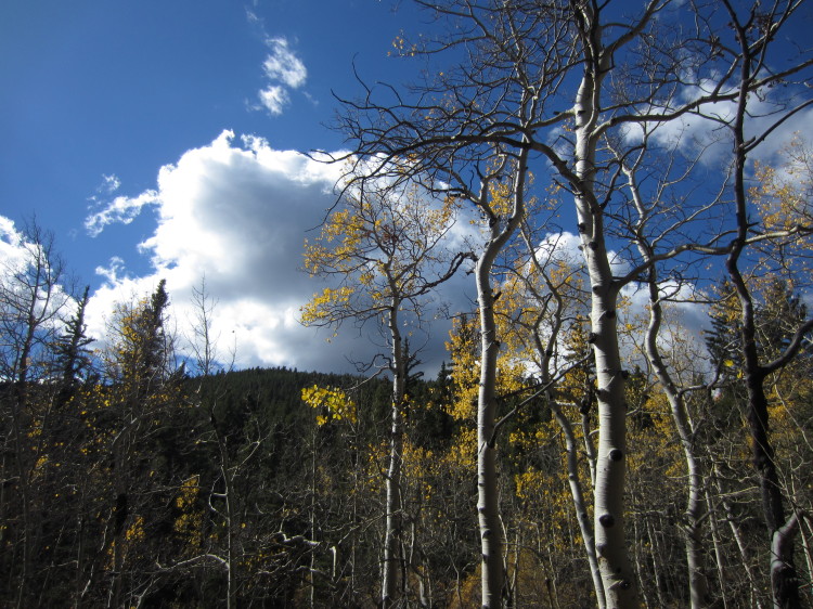
In another week, all of the leaves will be gone.


IMG_7938 IMG_7939 IMG_7940 IMG_7941
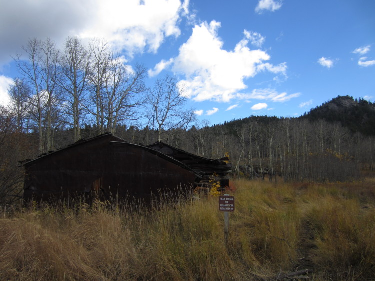
IMG_7948An old homesteader cabin in Frazer Meadow.


IMG_7951

We will have to come back here in the spring.


IMG_7962

Up on Ralston Roost looking out toward the Continental Divide.

IMG_7963

STA_7953 - STI_7961
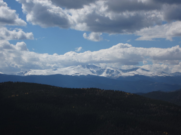
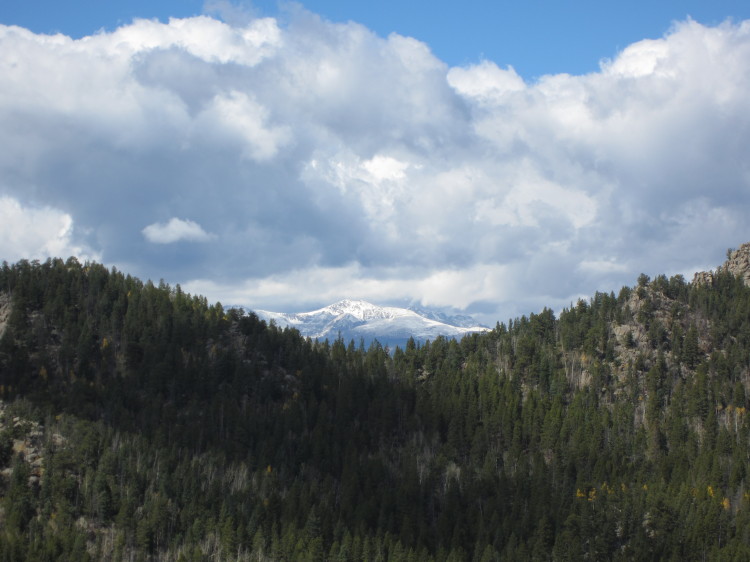
The continental divide and the hills to the east.


Panorama
A closeup of the continental divide. Click on the photo for a full-size version.  The view is outstanding.

photo

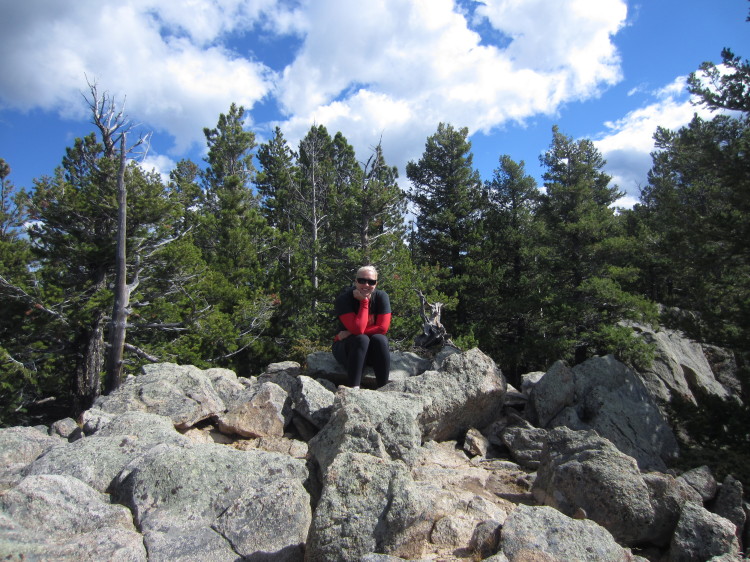
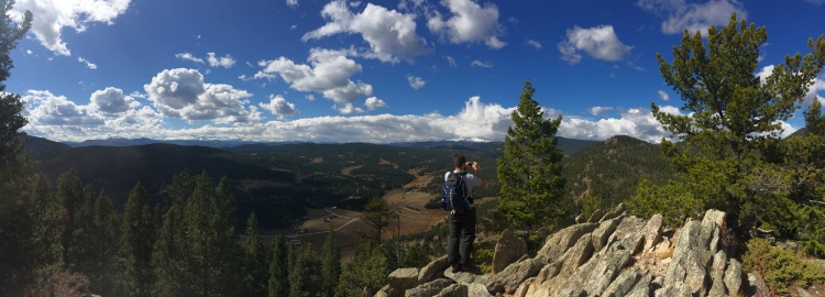
Heather took a photo of me while I was photographing the panorama.


IMG_7990Heather up on Ralston Roost.


IMG_7992
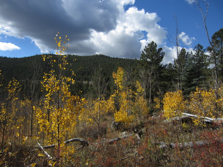
IMG_7995The last hurrah of fall.


IMG_7998
IMG_8000

Heading down from Ralston Roost looking to the northeast.


IMG_8002What a great hike!  We went about six miles and gained/lost about 1000 feet.

Crater Lakes Hike with Jessica


IMG_7824

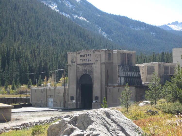
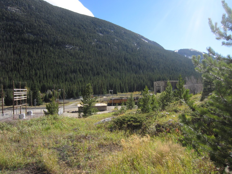
Jessica and I headed up to the east portal of the Moffat Tunnel.  It is the starting point for a wide variety of hikes into the James Peak Wilderness.

IMG_7825


As we started up the trail, we saw a Union Pacific coal train exit the tunnel heading east toward Denver.
IMG_7827


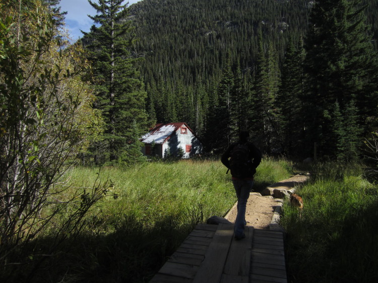
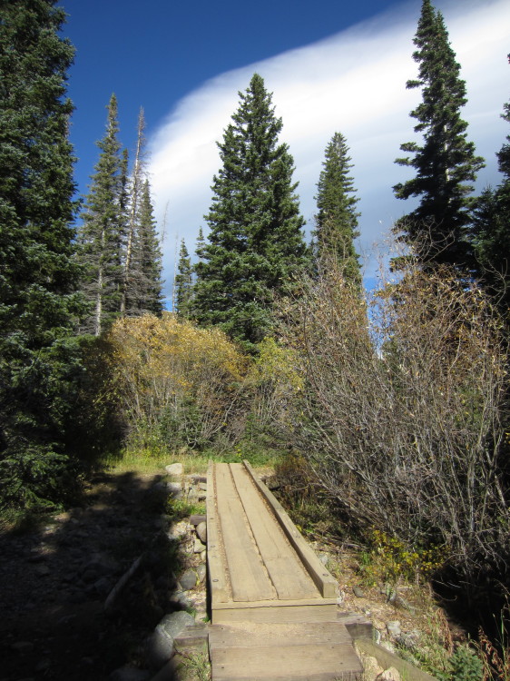
An old cabin up the trail.  Jessica and Roxy heading up the raised trail.

IMG_7828

IMG_7829


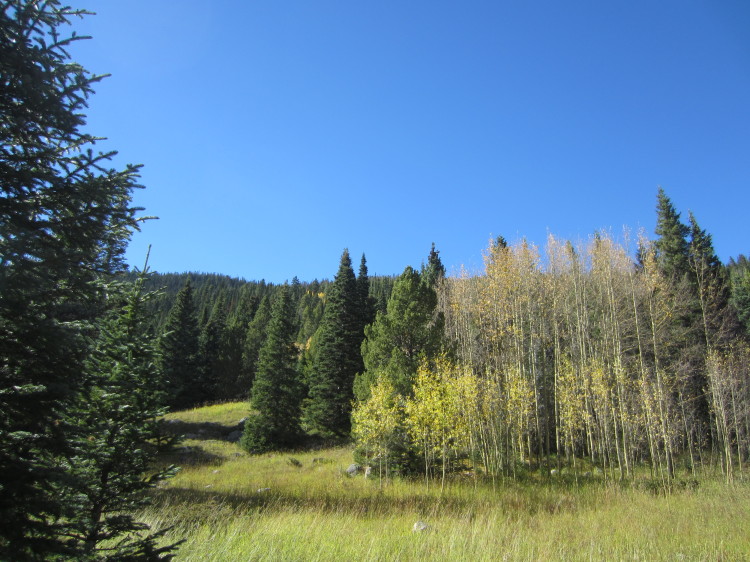
The aspens here have almost all lost their leaves here.

IMG_7830

IMG_7831

IMG_7832


Alpine meadows in the fall.

IMG_7834


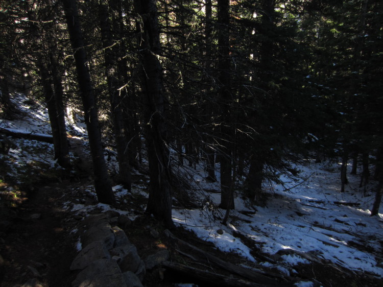
Snow in the woods from the first heavy snowfall of the year.

IMG_7835


The continental divide through the trees.

IMG_7836

Going up through the snow.

IMG_7839A little wet meadow below the lower Crater Lake.

STA_7840 - STJ_7849Upper Crater Lake in all its glory.

IMG_7850

What a great little lake!  It was incredibly windy here.

STA_7854 - STI_7862The little rocky meadow at the outlet of upper Crater Lake.

STA_7863 - STI_7871_blended_fused
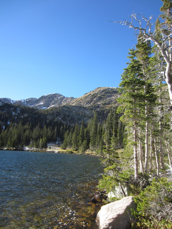
Another beautiful view of the lake.

IMG_7881


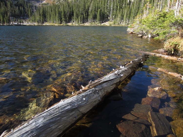
Logs floating in the lake.

IMG_7884


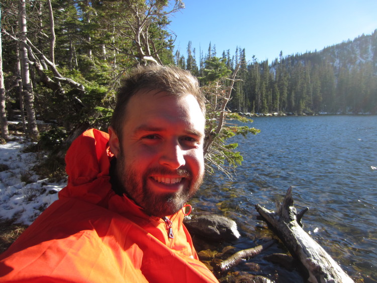
It got windy enough that I needed a coat.

IMG_7885

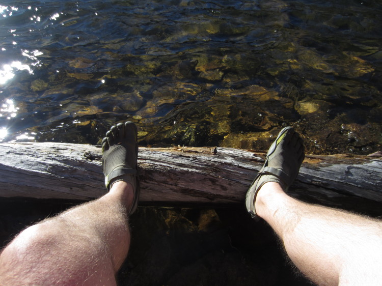
Yes, I hiked through the deep snow in my Five Fingers.  It was a wee bit chilly.

IMG_7888
STA_7889 - STI_7897

STA_7901 - STJ_7910_fusedLower Crater Lake.

IMG_7911

IMG_7914


Heading back down toward the car, we saw this great view.

STA_7916 - STH_7923
IMG_7924

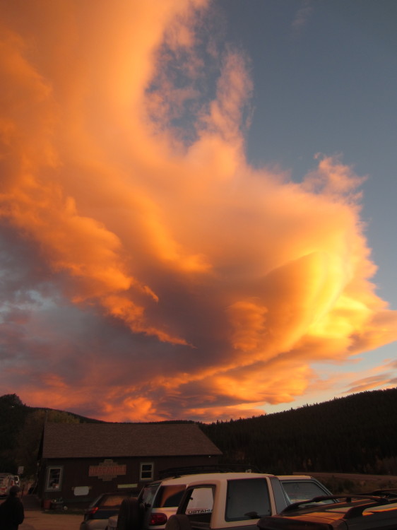
We stopped in Rollinsville at The Stage Stop for dinner.  The sky was absolutely on fire.