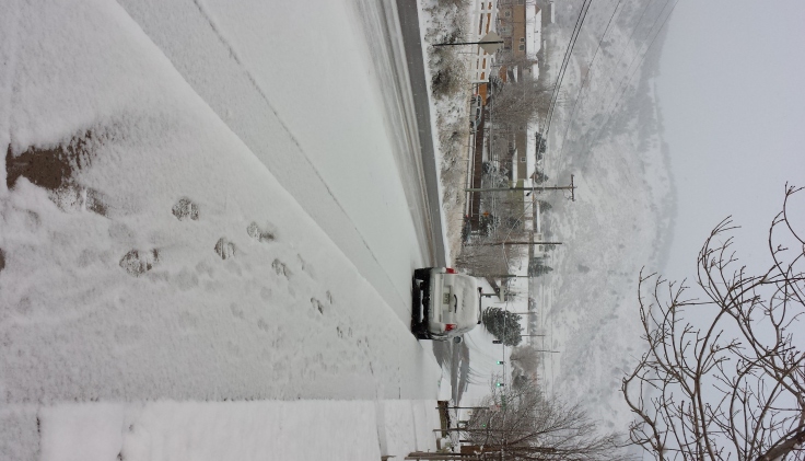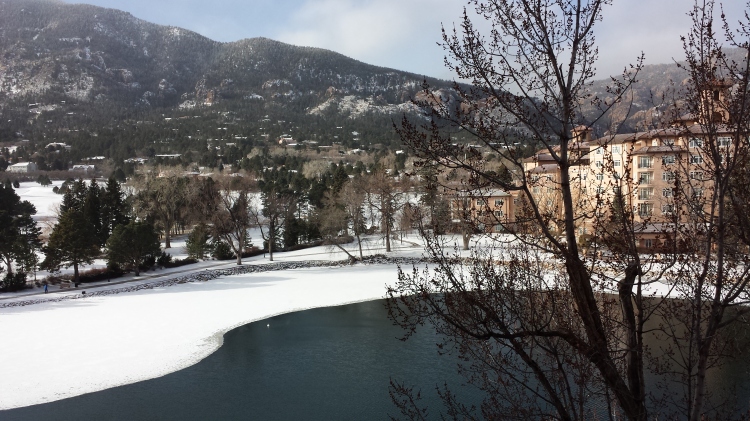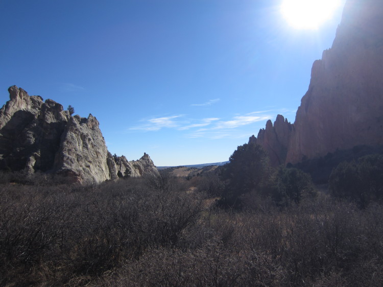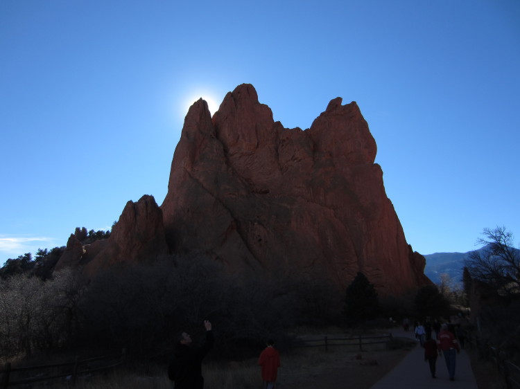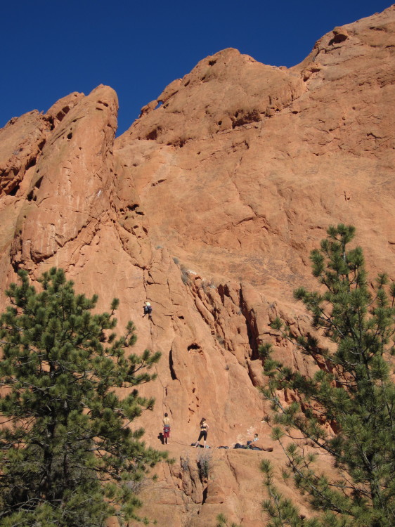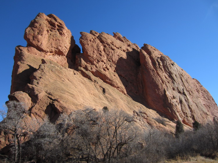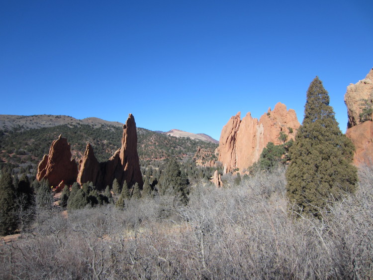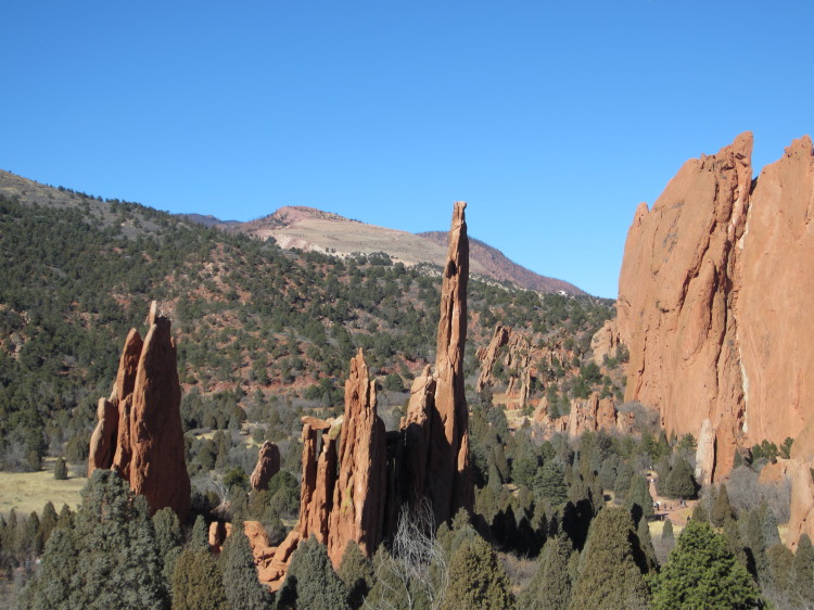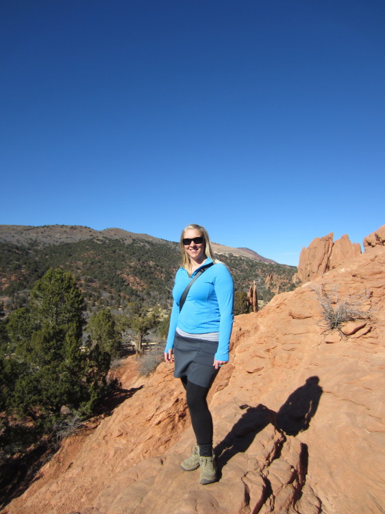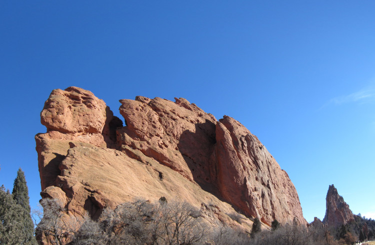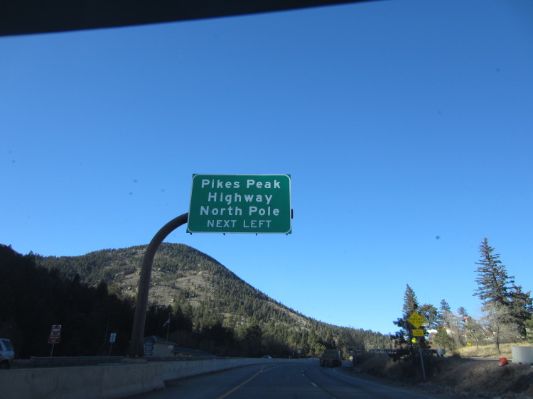
After visiting Garden of the Gods and driving through Manitou Springs, we headed up the road toward the Pikes Peak Highway.

The entrance to the Pikes Peak Highway.

The highway has a speed limit of 25 mph unless otherwise posted. There is one short stretch where it is signed at 30 mph. My poor car wanted to try being a hill climber but I didn’t let it go too fast.

There are some nice marketing pieces along the highway.

Crossing a dam above a frozen lake. There were people out walking on the ice.

In spite of all of the signs saying not to walk on the ice, plenty of people were.

The continental divide was visible far in the distance.

The main mass of the mountain looming ahead.
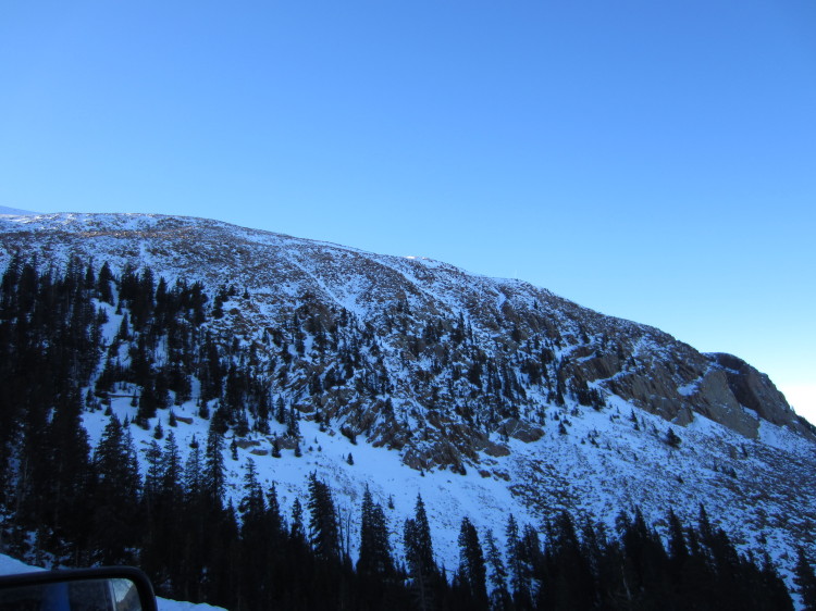
The cold north side of the mountain with some remnants of the last snowstorm to go through the area.

Looking out toward the continental divide.
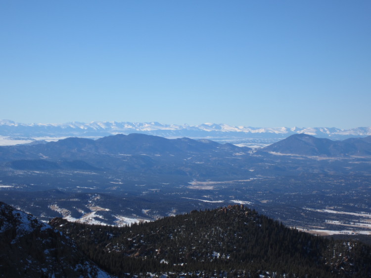
More 14000+ft mountains looming far in the distance. Pikes Peak stands alone though when it comes to nearby tall neighbors.

The switchback road heading up the mountain.

The switchbacks get extreme the higher you go up the flank of the mountain.

On the shoulder of Pikes Peak.
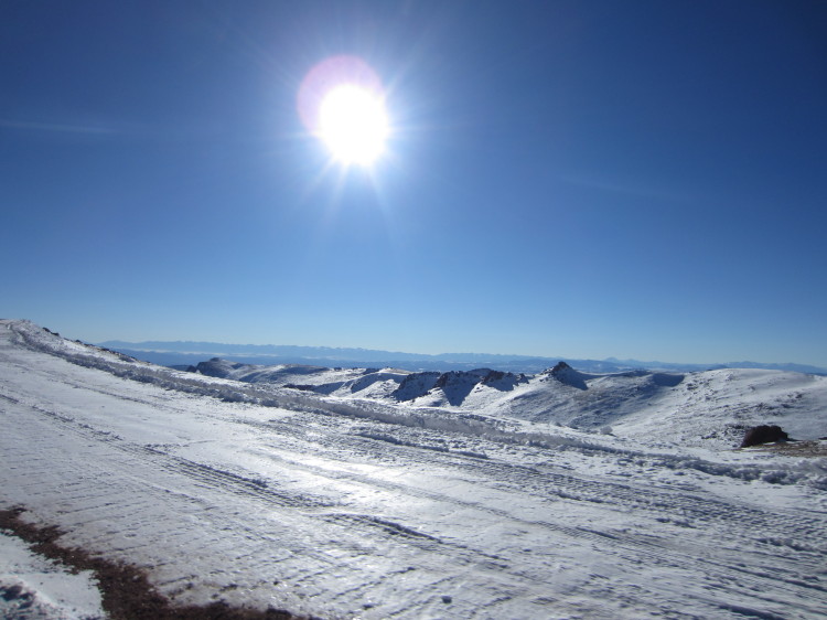
Frozen mountains far to the south and west.

Getting closer to the top.
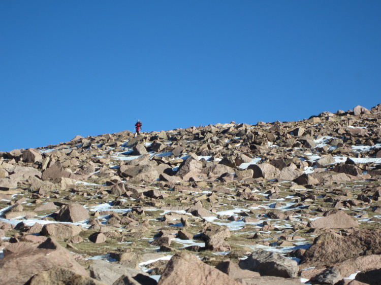
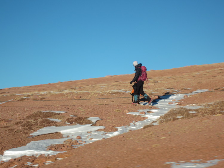
A climber coming down from the summit. There are three ways to get to the top of Pikes Peak. You can either drive on the road, take the cog railway, or hike the long trail to the summit.

At the summit!

This is accurate.
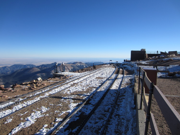
The upper terminus of the cog railway.

If the train overshoots its mark, it is a very long way down beyond those flimsy little bumpers.

The switch mechanism is quite interesting. Not only does the switch have to account for the two rails but it also must account for the cog track.
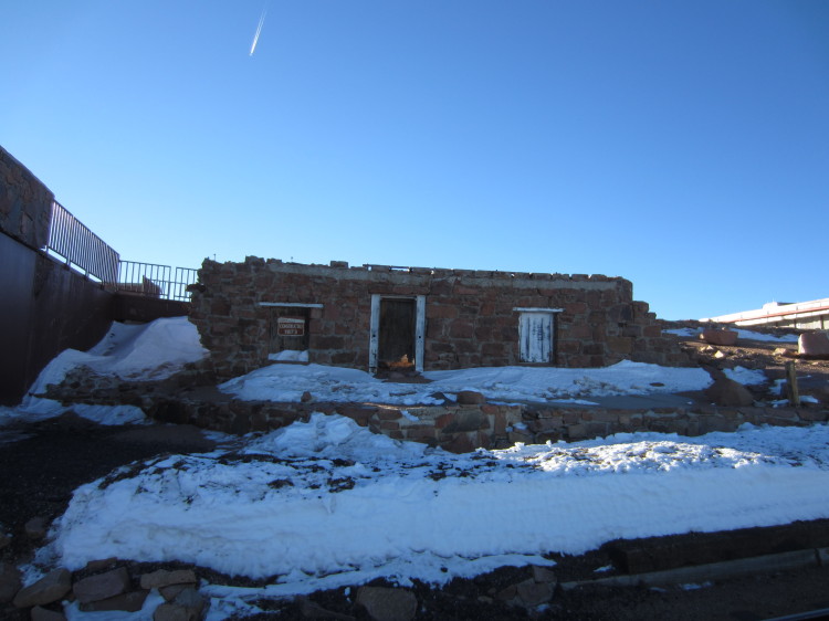
The original summit hut sitting in a state of disrepair.

The Barr Trail reaches the summit here.

From relatively level ground, the cog railway drops off the face of the mountain at an incredible angle.

Colorado Springs in the middle of the photo and far in the distance, the curvature of the earth is visible.

A panorama looking east.
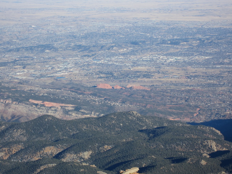
Garden of the Gods stands out.

Another view looking south and east.

This is one extreme railroad.

A lonely communications shack on the south side of the summit.

Looking generally south and west.

Looking south where the road and rails meet briefly before each descends on its separate course.
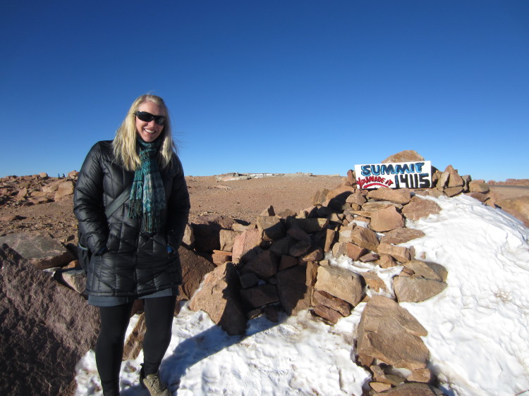
At the first summit sign as you come up the road.

The US Army keeps an altitude research facility at the top of Pikes Peak.
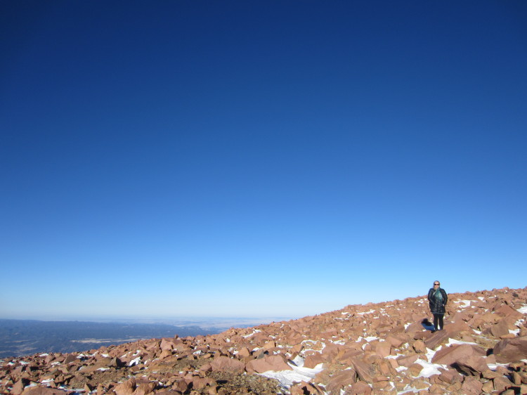
On top of the world.
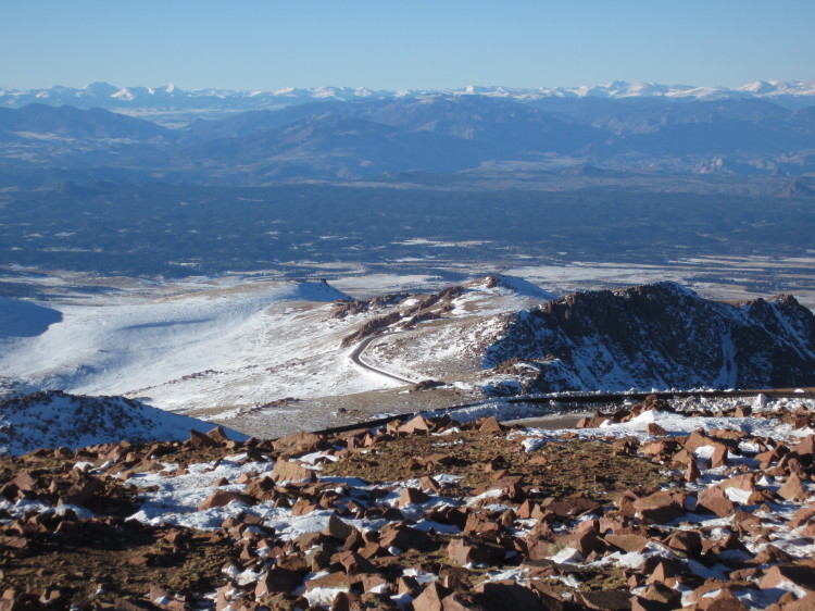
Looking down at the road and with the continental divide looming large in the background.

Looking generally west toward the continental divide.

Steep dropoffs on two sides of the summit make for exciting views.

Looking generally north.
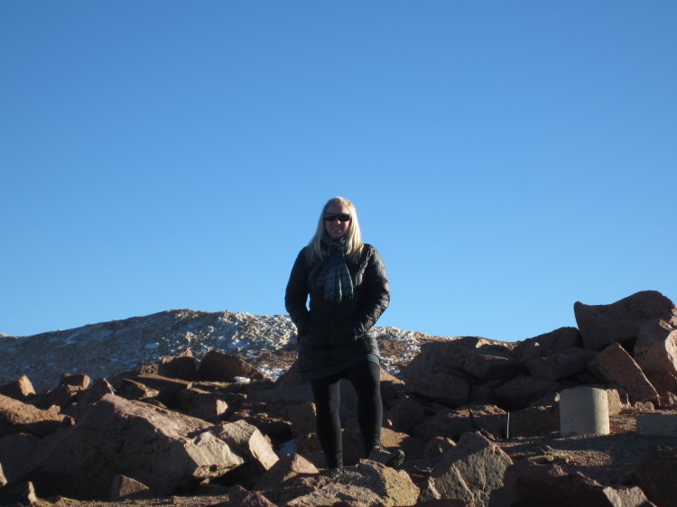

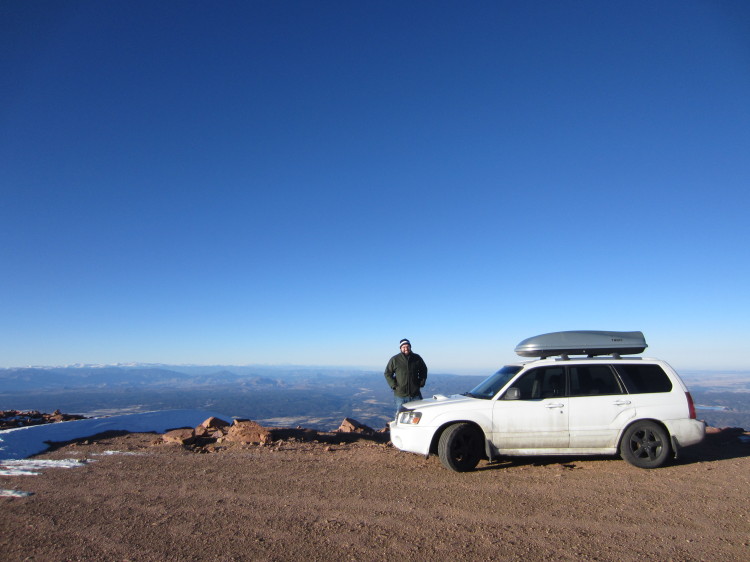
Looking generally north with my car on top of the mountain. There aren’t many places in North America where you can drive a car this high.

We took a few photos of my car at the summit.



Heading down the mountain.

At 4pm, we were herded off the mountain by a grumpy ranger. He followed us down the mountain. Whenever a car was pulled over to the side of the road, he would stop with his red and blue lights flashing and run his siren until the people attached to the car started down the highway. Pikes Peak closes to cars at 4pm every day in the winter. If you’re on foot, they let you stay as long as you want.

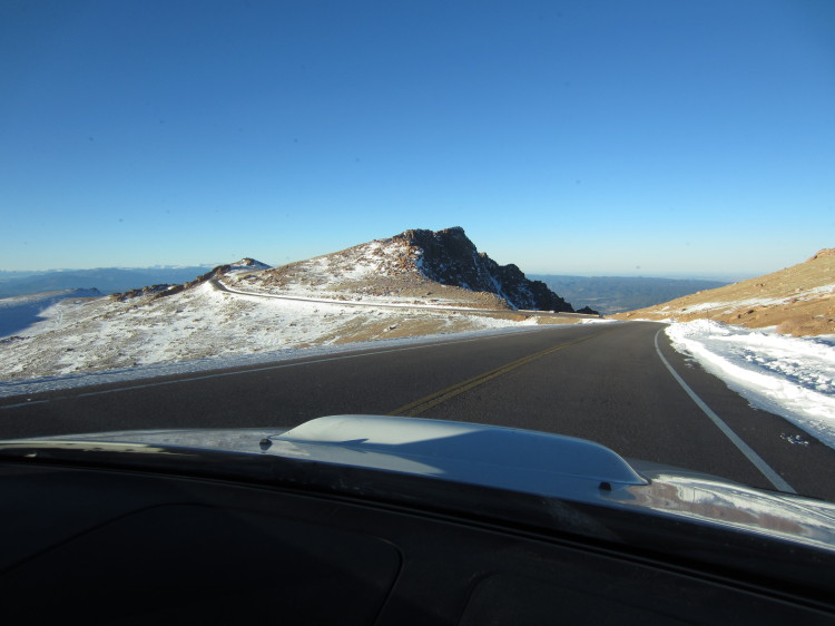
The road along the ridgeline.
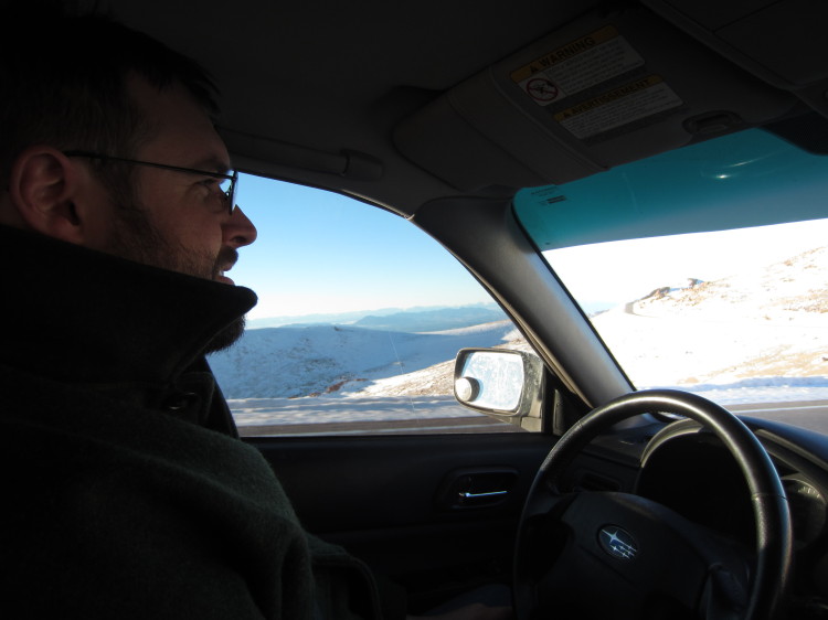
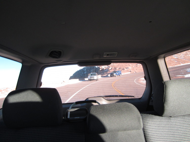
The ranger forcing some people to head down the mountain.
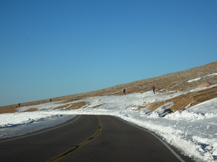
Climbers heading down the trail.
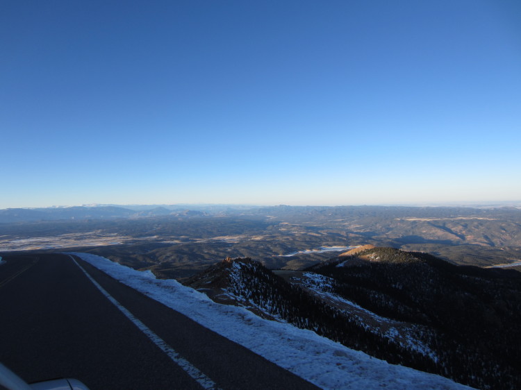
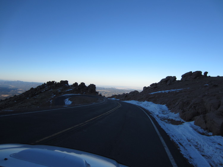
Heading down some particularly steep switchbacks.

Looking back up at the switchbacks.
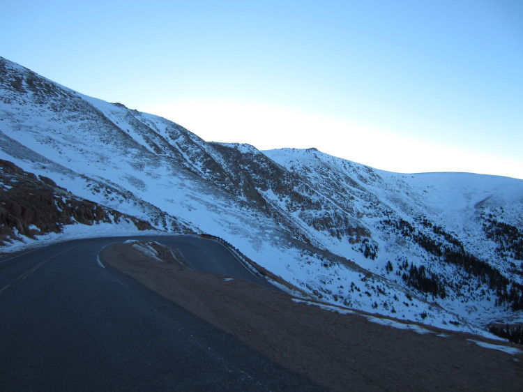
More switchbacks as we descend.
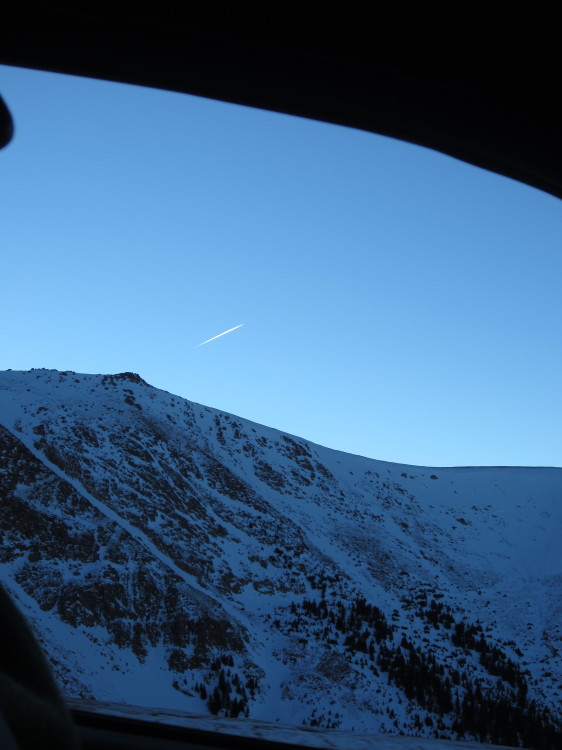
A jet contrail illuminated by the sun.

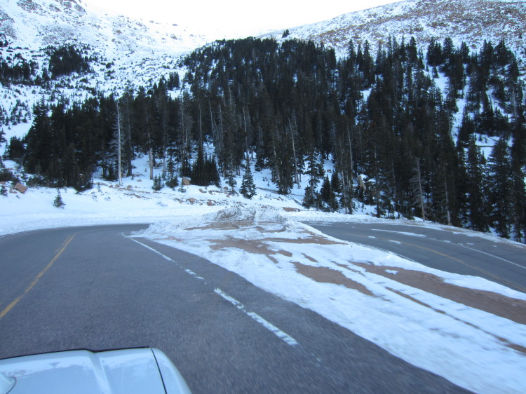
These are tight switchbacks that make for good auto racing during the annual hill climb event.
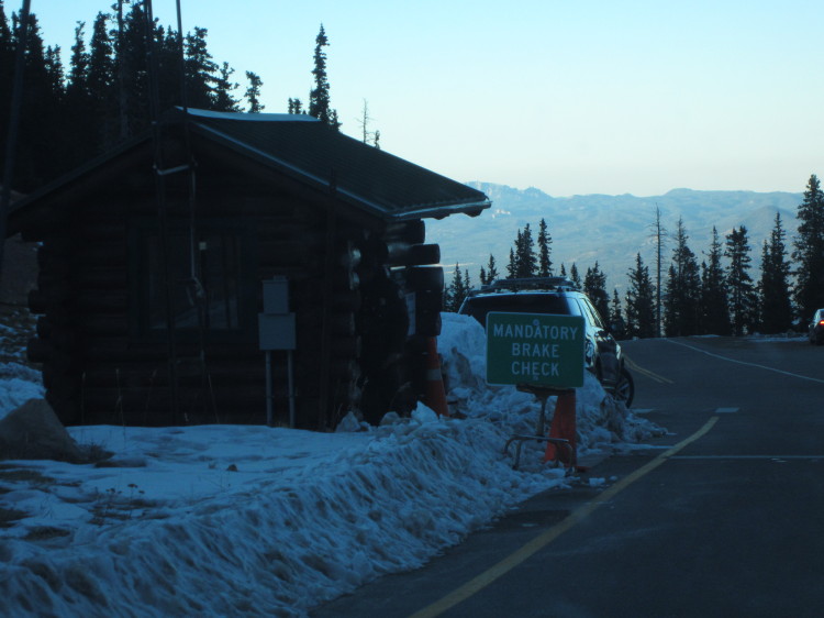
We had to stop for a mandatory brake check. A park ranger used an infrared thermometer to see how hot my brakes were. They were only 199F.

Checking the brakes.
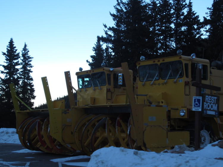
Big snow clearing machines waiting for the next storm.
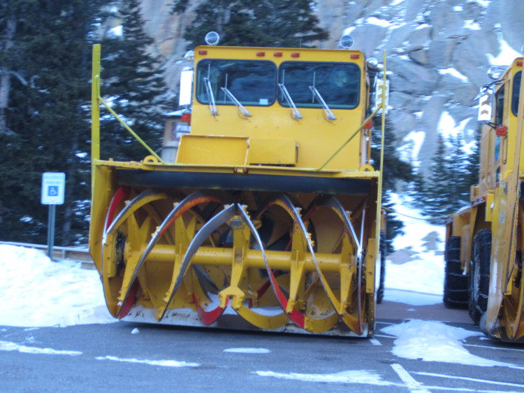
The business end of a machine that you don’t want to get eaten by.

An icy lake.

Looking down at the icy reservoir.
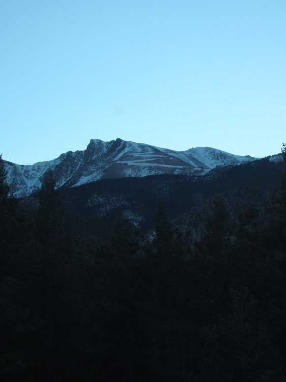
Some of the many switchbacks in the snow.

Sunset over the plains.

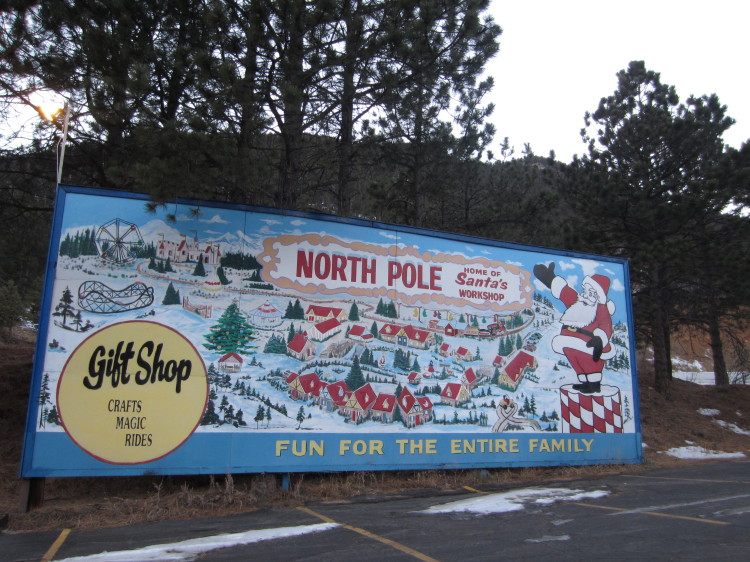
At the base of the Pikes Peak Highway there is an odd North Pole establishment.

It includes an interesting gate. Since Christmas just happened, the whole place was closed.
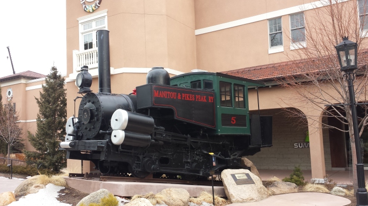 An old steam engine outside the conference facility.
