Crater Lakes Hike with Jessica


IMG_7824

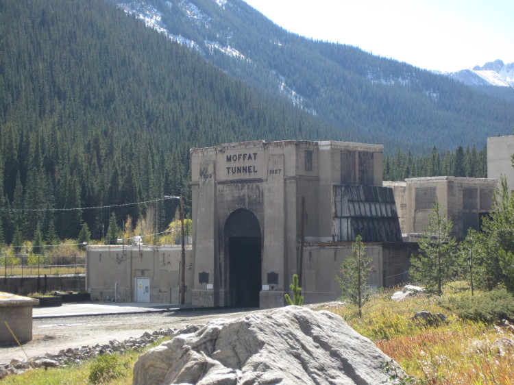
Jessica and I headed up to the east portal of the Moffat Tunnel.  It is the starting point for a wide variety of hikes into the James Peak Wilderness.

IMG_7825


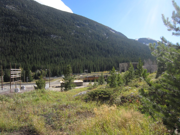
As we started up the trail, we saw a Union Pacific coal train exit the tunnel heading east toward Denver.

IMG_7827


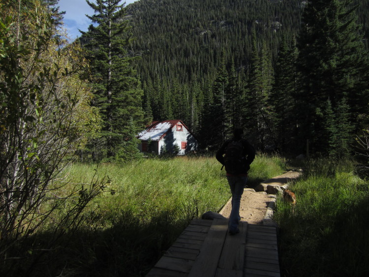
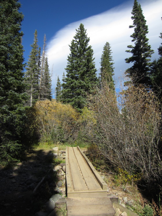
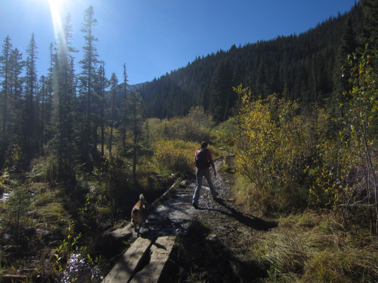
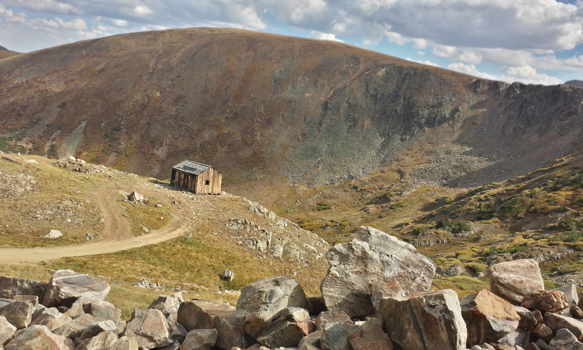
An old cabin up the trail.  Jessica and Roxy heading up the raised trail.

IMG_7828

IMG_7829


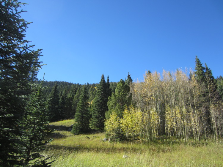
The aspens here have almost all lost their leaves here.

IMG_7830

IMG_7831

IMG_7832


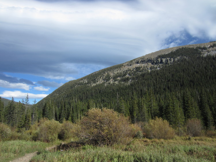
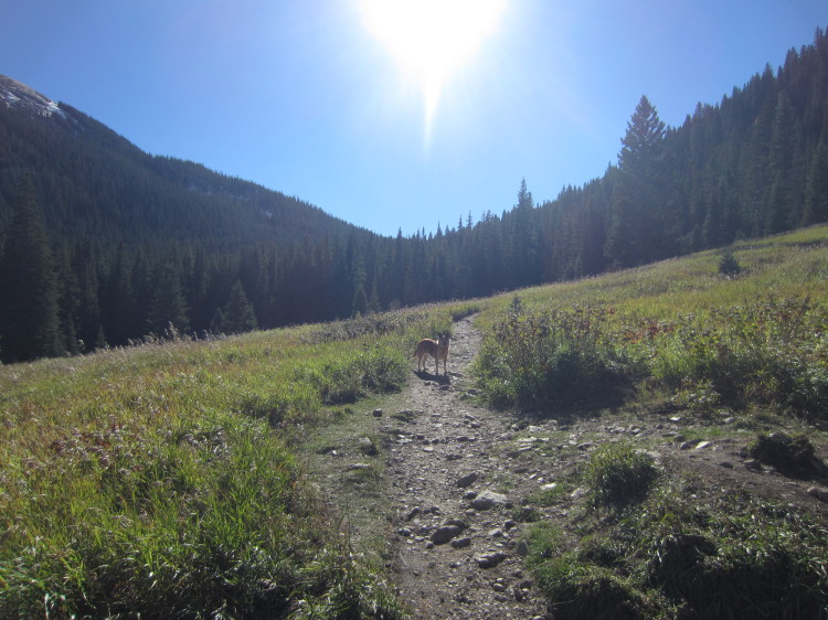
Alpine meadows in the fall.

IMG_7834


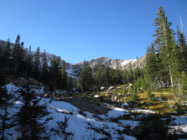
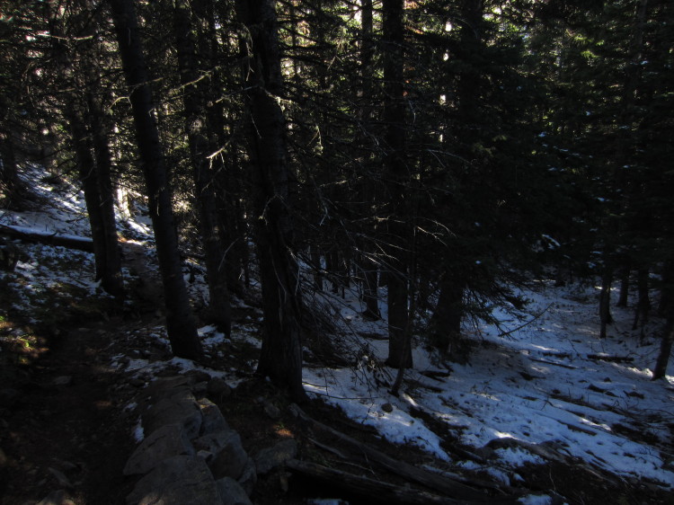
Snow in the woods from the first heavy snowfall of the year.

IMG_7835


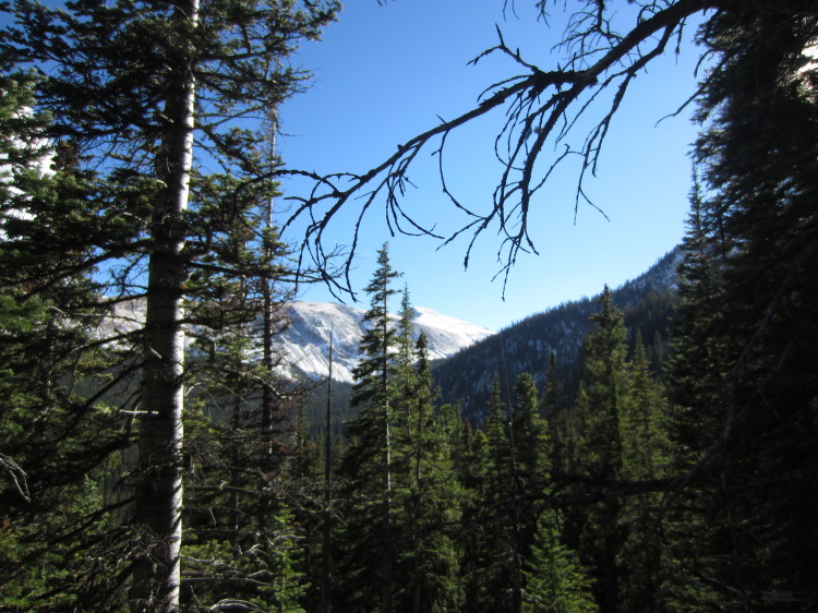
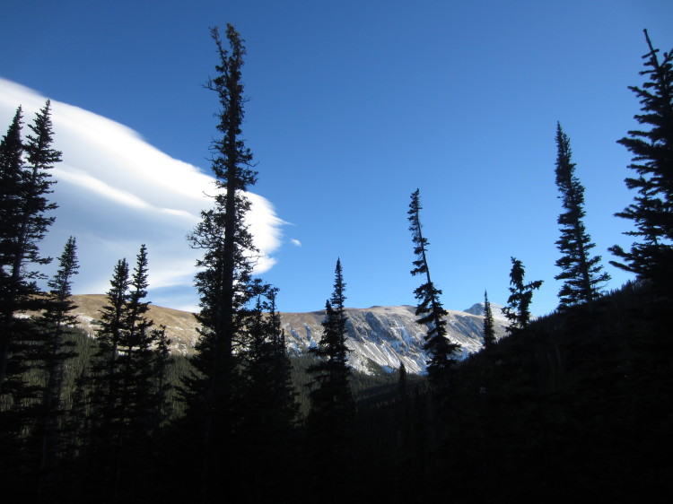
The continental divide through the trees.

IMG_7836

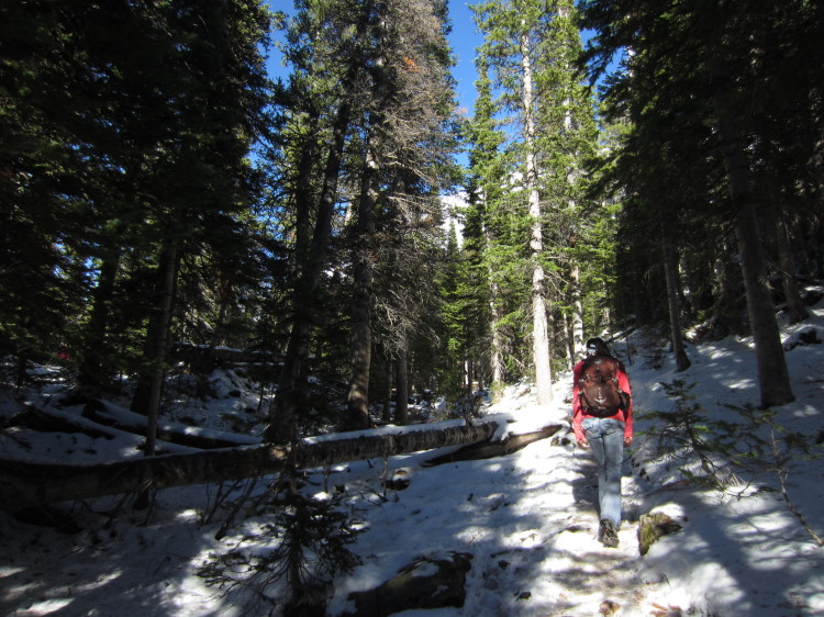
Going up through the snow.

IMG_7839A little wet meadow below the lower Crater Lake.

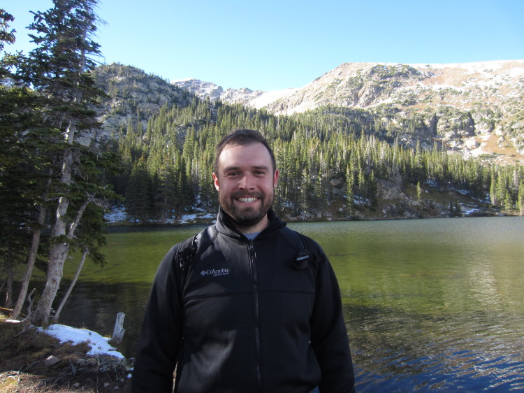
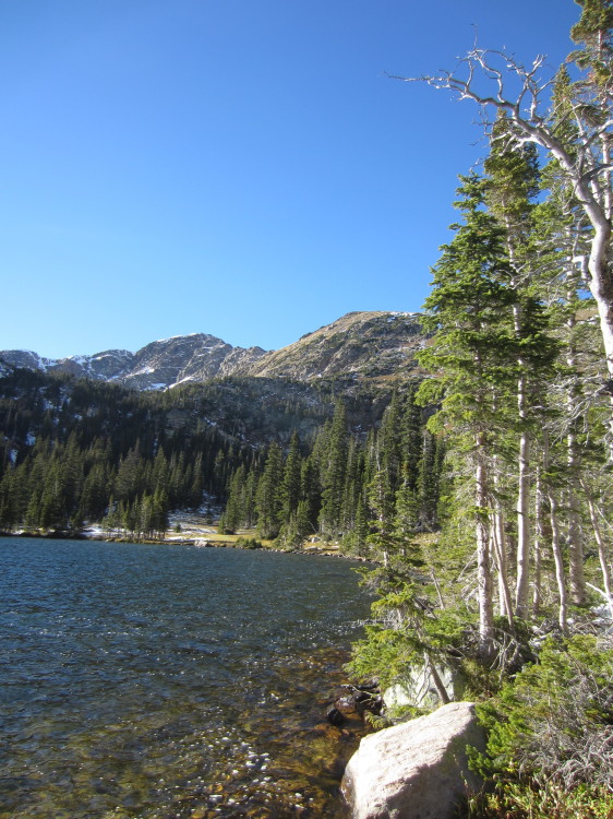
STA_7840 - STJ_7849Upper Crater Lake in all its glory.

IMG_7850

What a great little lake!  It was incredibly windy here.

STA_7854 - STI_7862The little rocky meadow at the outlet of upper Crater Lake.

STA_7863 - STI_7871_blended_fused
Another beautiful view of the lake.

IMG_7881


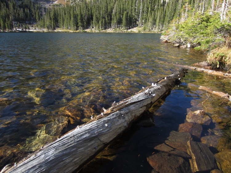
Logs floating in the lake.

IMG_7884


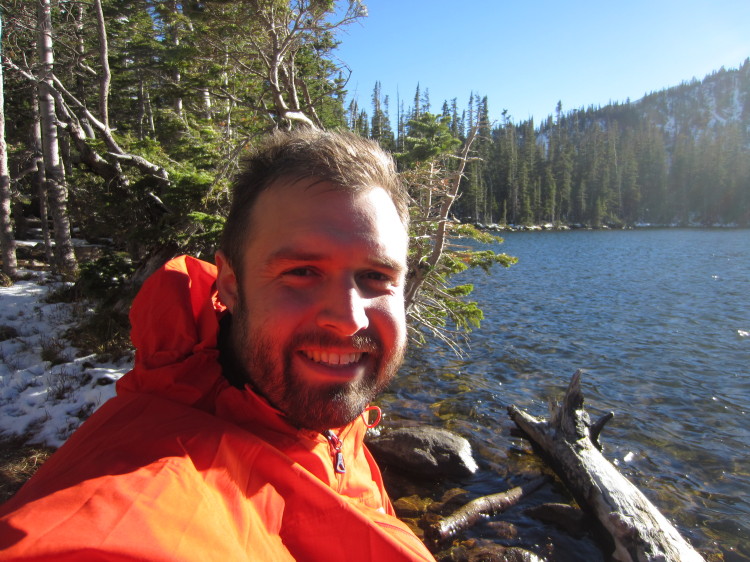
It got windy enough that I needed a coat.

IMG_7885

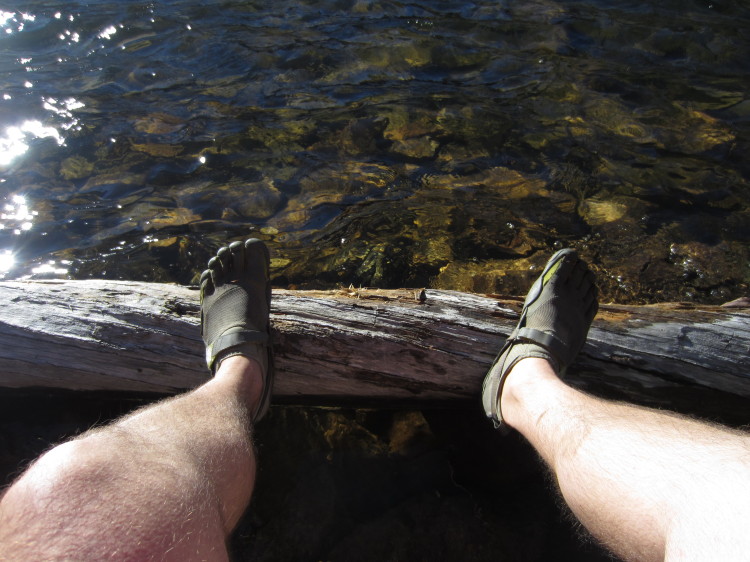
Yes, I hiked through the deep snow in my Five Fingers.  It was a wee bit chilly.

IMG_7888
STA_7889 - STI_7897

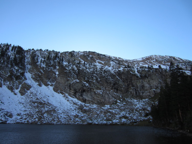
STA_7901 - STJ_7910_fusedLower Crater Lake.

IMG_7911

IMG_7914


Heading back down toward the car, we saw this great view.

STA_7916 - STH_7923
IMG_7924

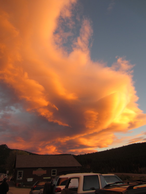
We stopped in Rollinsville at The Stage Stop for dinner.  The sky was absolutely on fire.
Loveland Pass


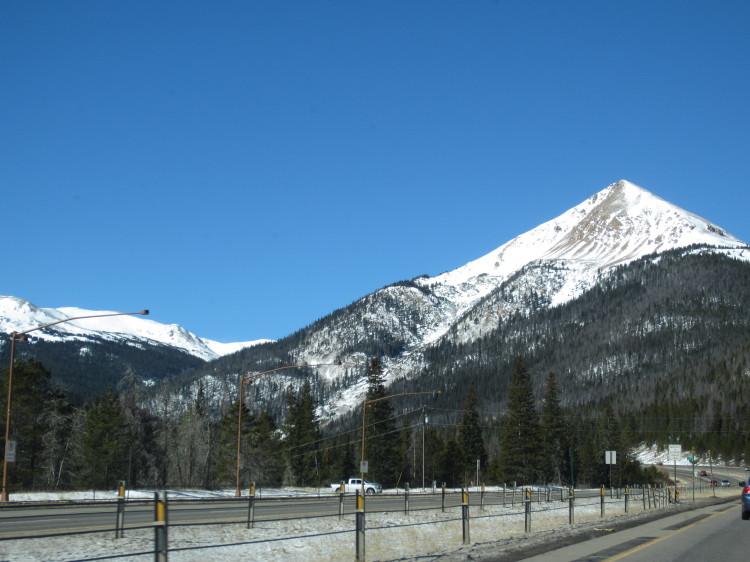
IMG_2082We headed west on I-70 toward the exit for Loveland Pass.  The Rockies along the spine of the continent loomed overhead.

IMG_2087


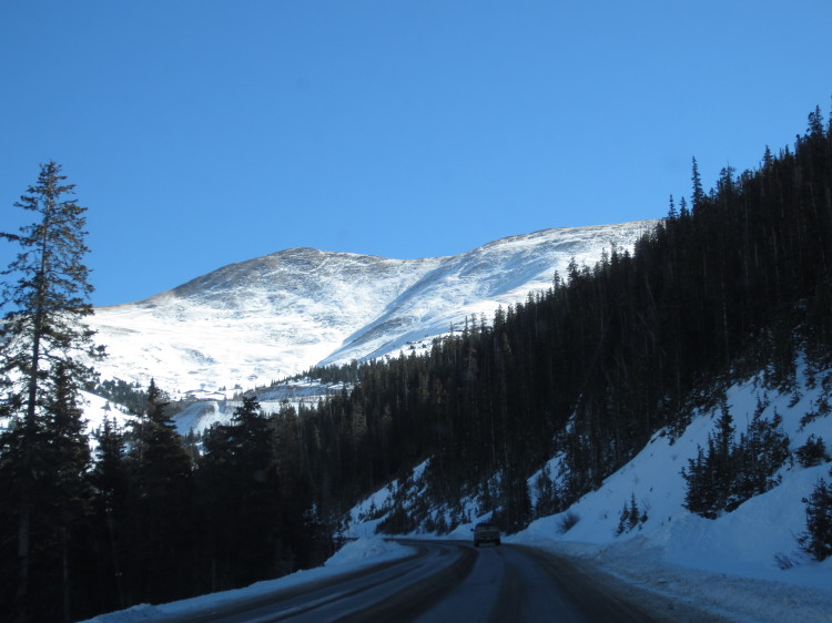
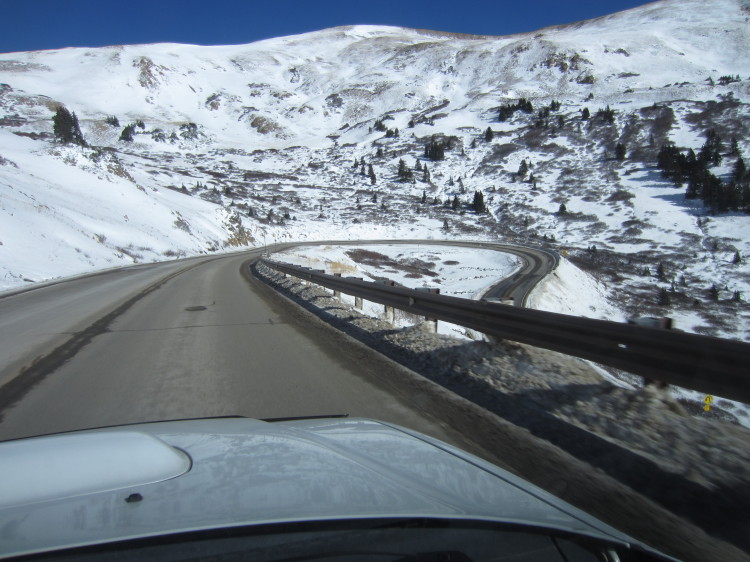
Heading up the pass.

IMG_2090

IMG_2093

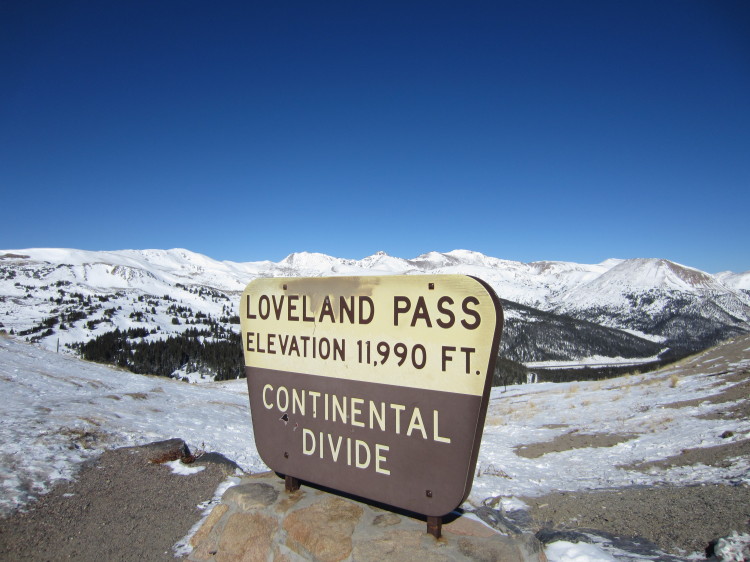
We stopped at the summit.  The pass is at 11,990 feet.  We walked up a small hill to reach 12,000 feet.

IMG_2094

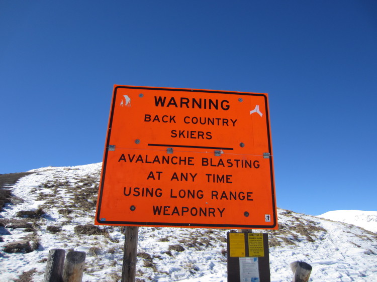
Avalanche control is done using long range weaponry in this part of the world.

IMG_2095

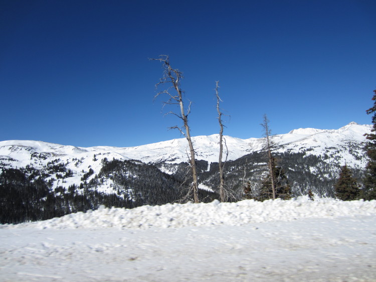
Skiers and snowboarders were riding fresh powder in the bowls and basis to the north of Loveland Pass along the continental divide.

IMG_2096


These two vertical lines on Mount Bethel north of Loveland Pass were very curious-looking.  We couldn’t tell what caused them to be so straight.  Satellite imagery of the area makes it look very man-made.  According to the internet, it has two snow fences to protect I-70.  One of these days I think I will hike up the mountain to see just exactly what makes those two lines.

IMG_2119


At 12,000 feet.

STA_2097 - STV_2118_fused

A 360 degree panorama from the summit.  The approach from the east side of the continental divide is in the middle of the photo.

IMG_2136

Heading down the west side of the continental divide.

STA_2123 - STJ_2132

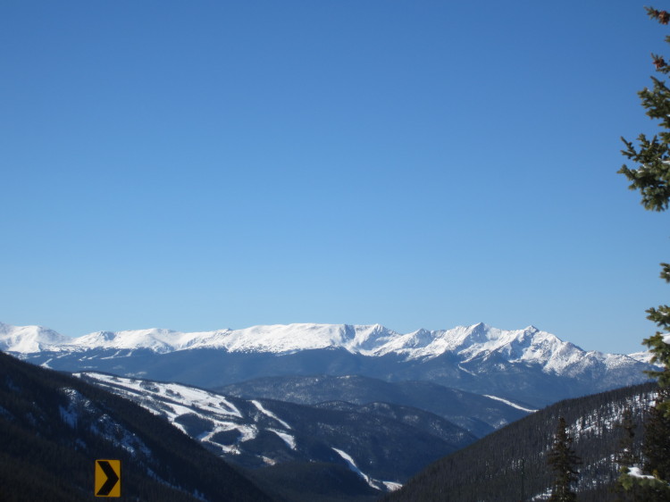
Looking toward the western drainage and the Pacific Ocean.

STA_2144 - STI_2152_fusedOne of the many ski resorts that dot the mountains along the continental divide.

IMG_2140
Looking toward the mountains that loom over Breckenridge.