The sun rose early and through a layer of clouds.
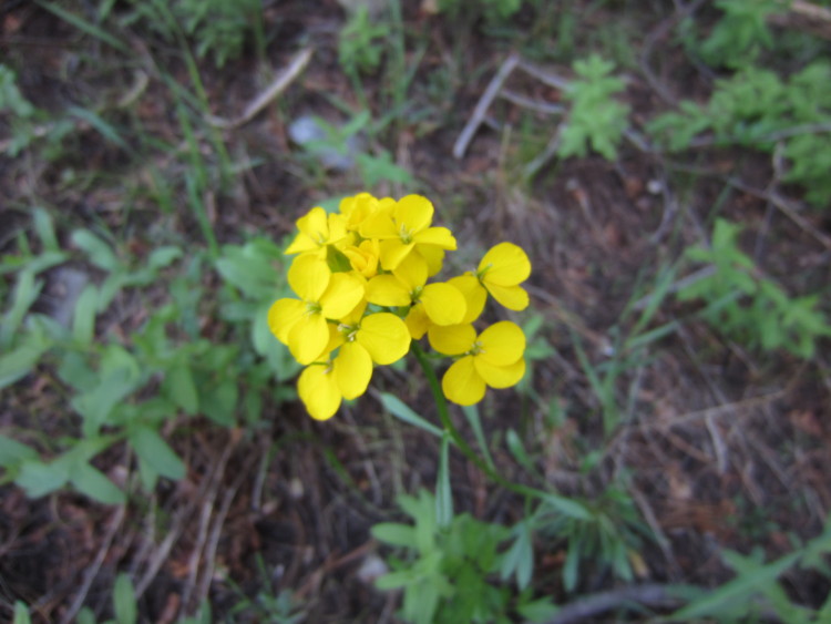
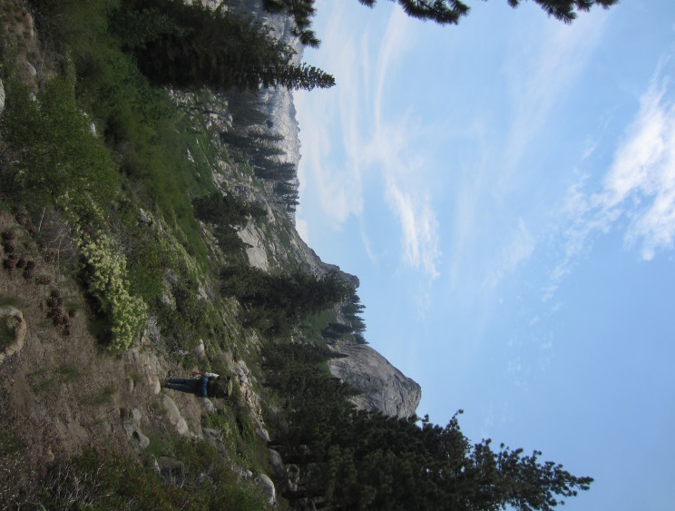
Some pretty late spring wildflowers.
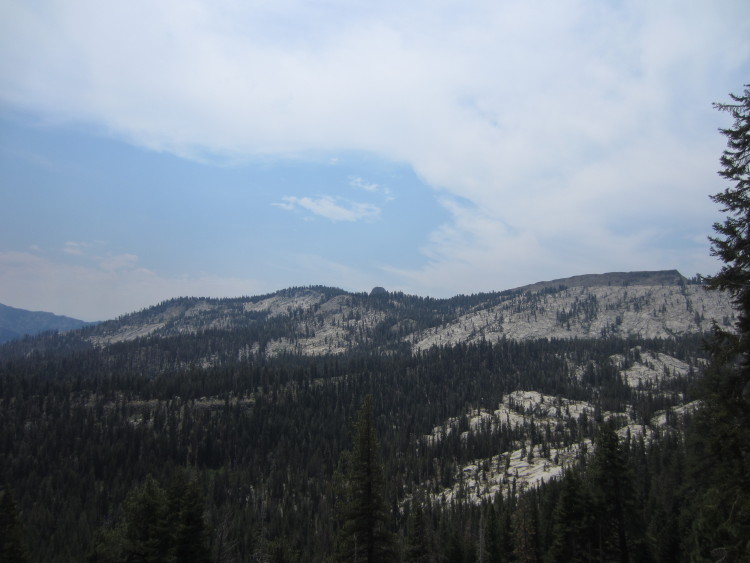
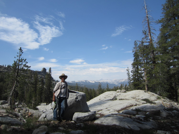
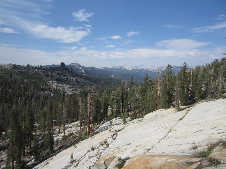
We decided to hike over to the Obelisk. I have long heard about this granite dome looking over Tehipite Valley from my parents. It is an interesting, seldom climbed dome on the boundary between the wilderness area in the National Forest and the National Park. The knob of the Obelisk can be seen in the distance in this photo.
 Some pretty alpine columbines.
 The Obelisk gets closer. The little hanging basin on one side of the Obelisk is a lush and rich area that is very seldom visited. At one point in time, people used to hunt back in here. It’s probably been twenty years since someone hunted deer or bear in the area.

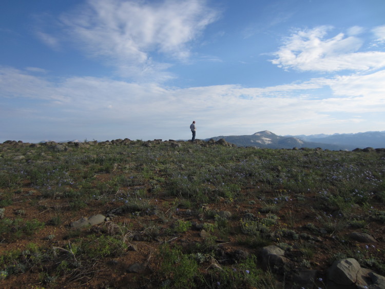 Up on top of a basalt outcrop above Geraldine Lakes.
 Panorama from the top. Crown Rock is over to the left.
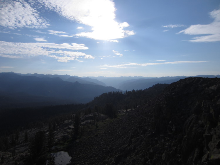 Looking back toward the Middle Fork of the Kings.

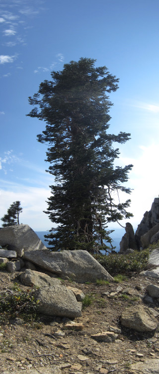
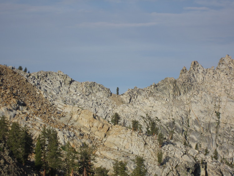 The tree in the notch that we had climbed to the day before.
 The top of the basalt ridge was strangely flat.
 Looking toward Tea Kettle Dome.
 The Obelisk draws near!

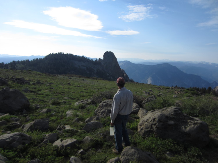 It’s been a few decades since my dad was here last.
 Down in the basin near the Obelisk.
 We went through a lush meadow that during a normal year would be full of water. There were only a few trickles this year because of the drought.
 It’s hard to get a sense of scale of how big the Obelisk is. Standing next to it, the monolith of granite soars hundreds of feet into the air. On the far side, the dropoff is probably over a thousand feet. This is the shorter side that people usually climb.
 On the boundary with the park.
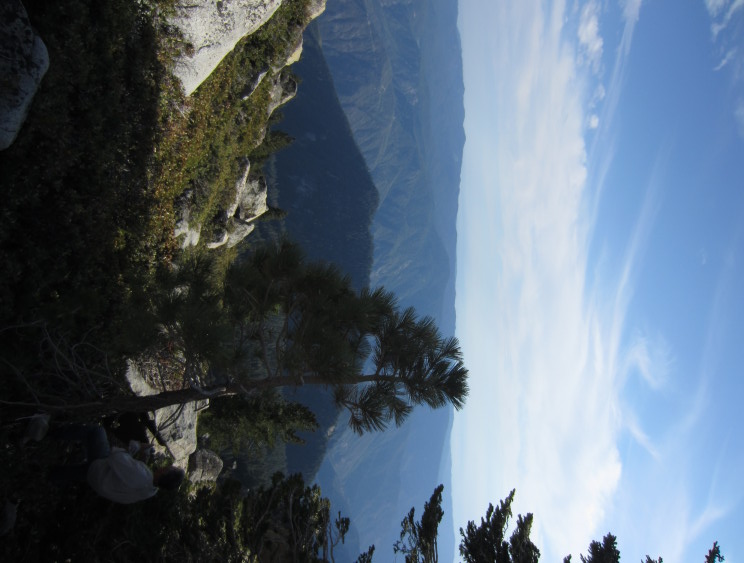
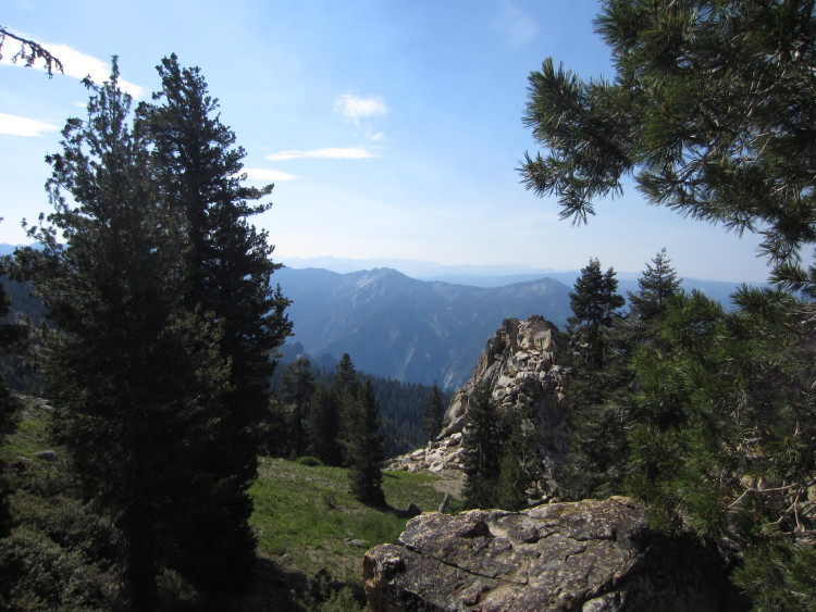 Looking out toward Tehipite Valley.

Big rock!

It’s a huge, impressive rock that is hard to put into perspective. Maybe someday I’ll come back and climb to the top.
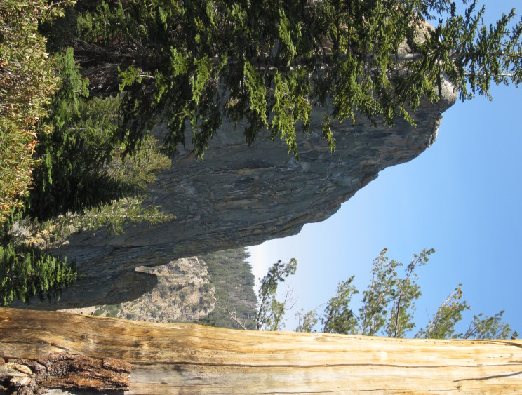 One of the longer faces of the Obelisk.
 Mud Lake down in the bottom of the little hanging basin on the shoulder of the Obelisk.
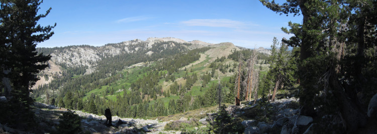 It’s a pretty little basin that almost no one visits anymore.
 Looking out toward Tea Kettle Dome and the high country.
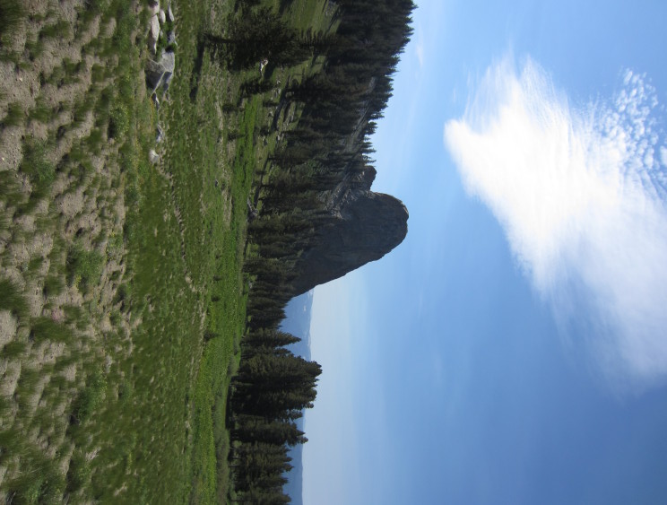 A better view of how massive the Obelisk is.
 Goodbye Obelisk. Until next time.
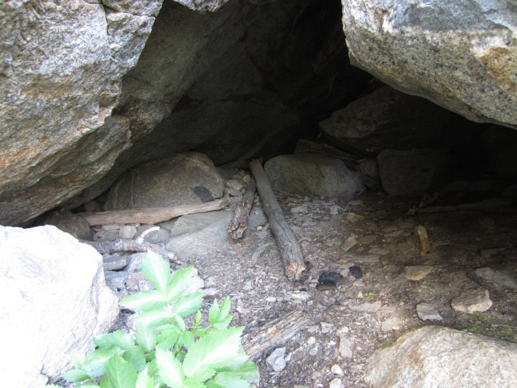
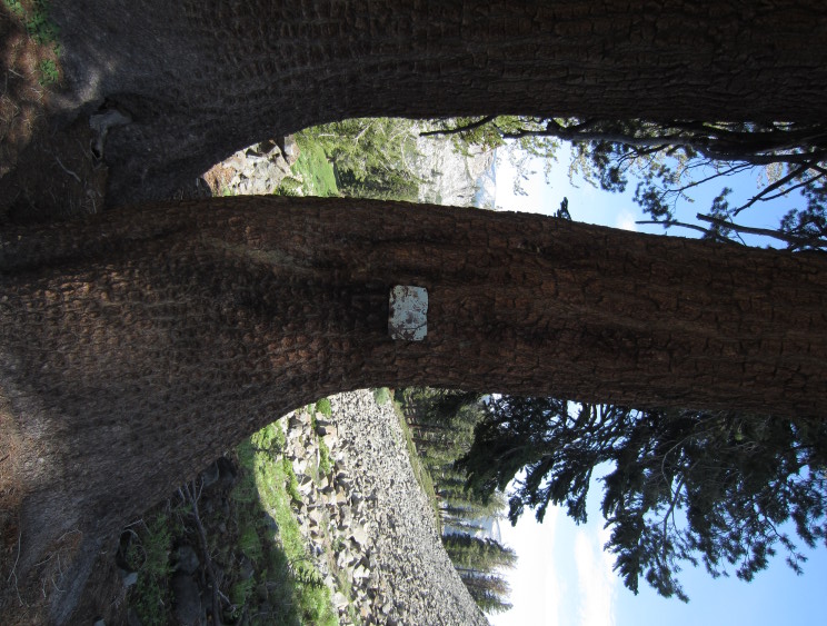 An old hunter’s camp used to be here. No one has stayed at this camp in probably 30 or 40 years.
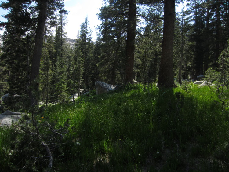
 Heading up through the tall plants.
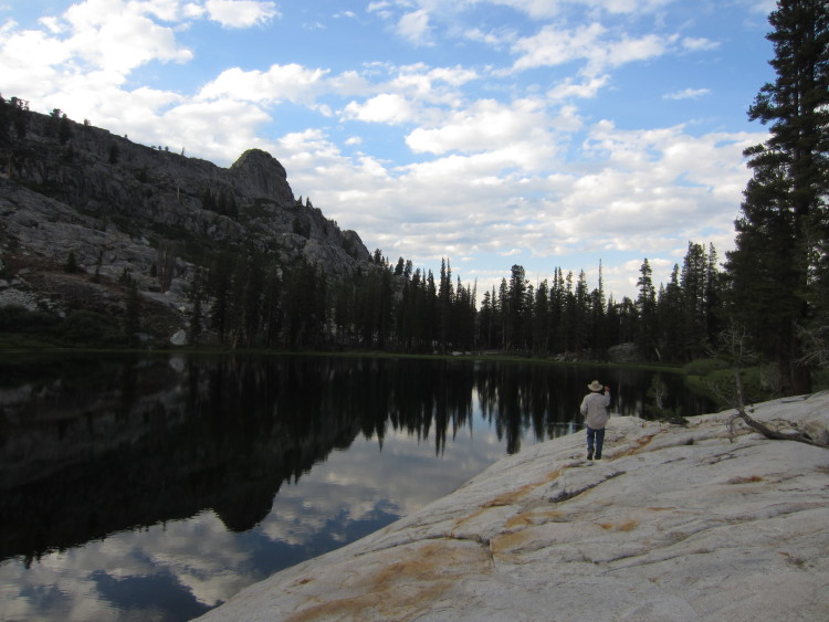
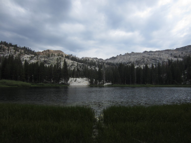 Back at Lower Geraldine Lake. The clouds started to roll in. We figured we might get a little weather although it never came.
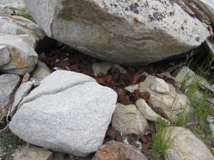 A whole boatload of old cans near where we camped.
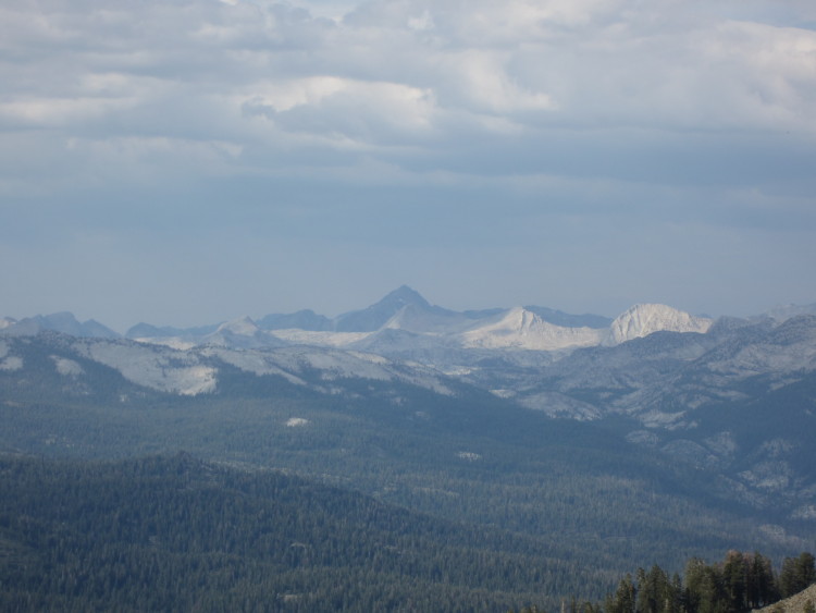
 Looking back toward Mount Goddard, 11998′, and a few other peaks in areas where I hiked as a child.


