
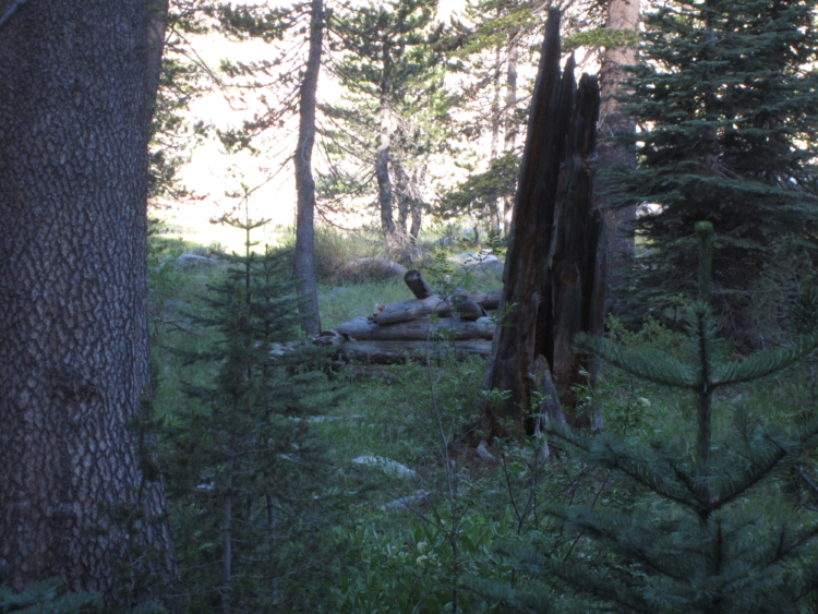
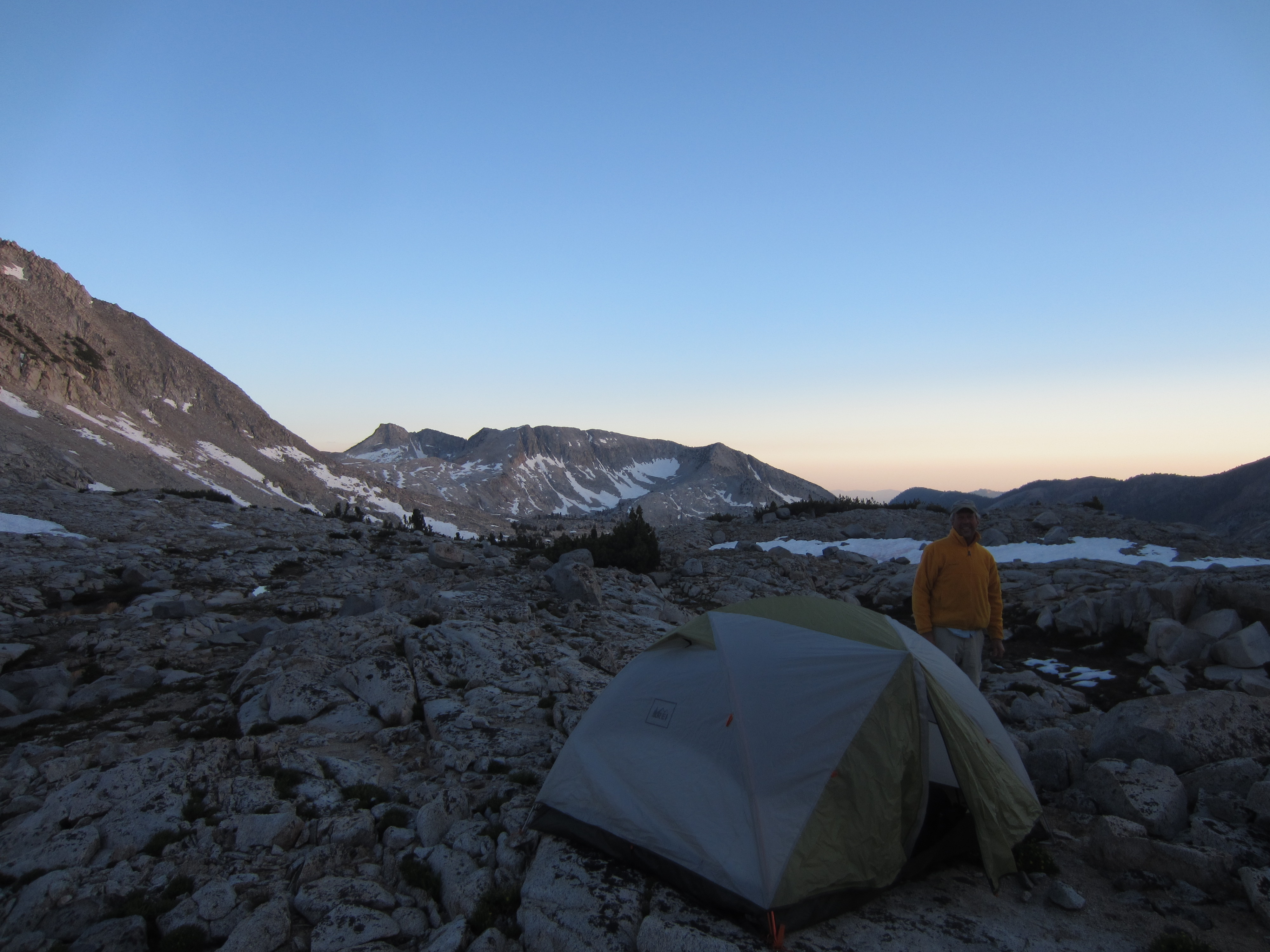
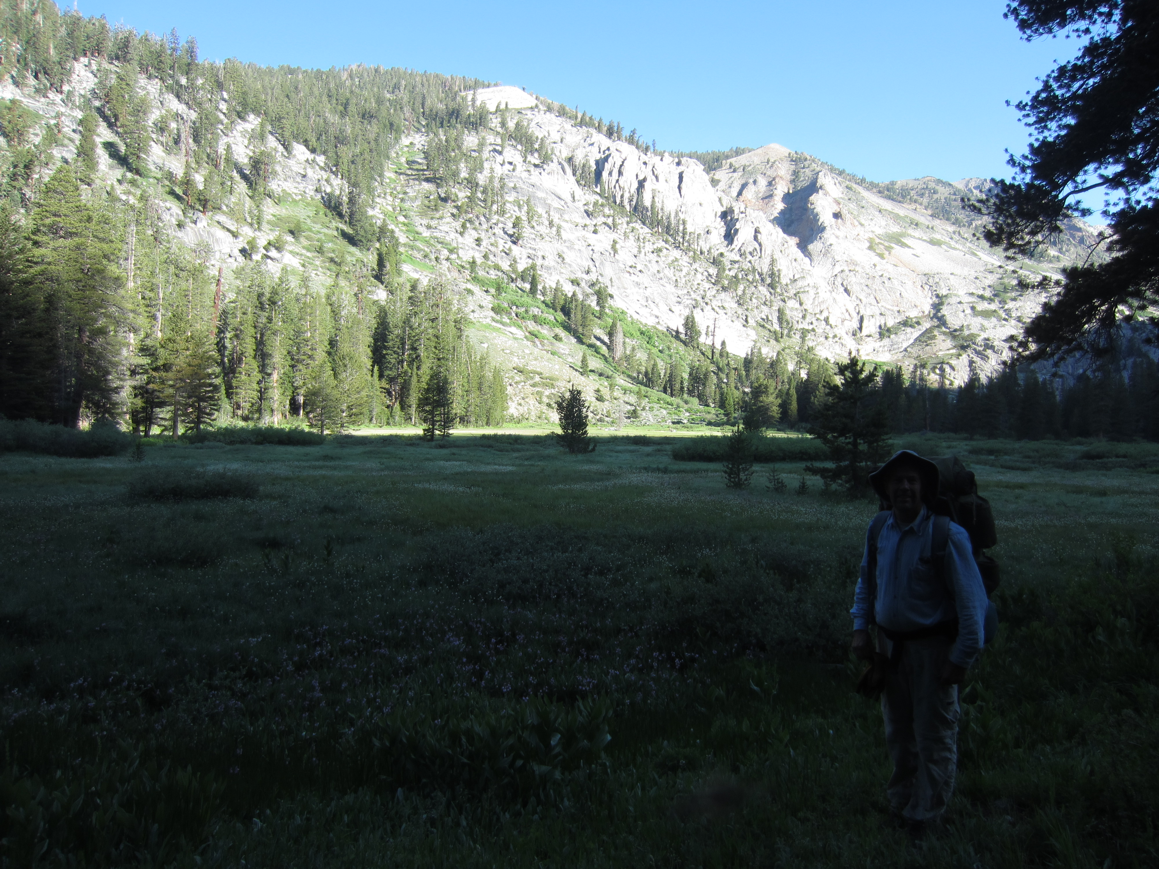
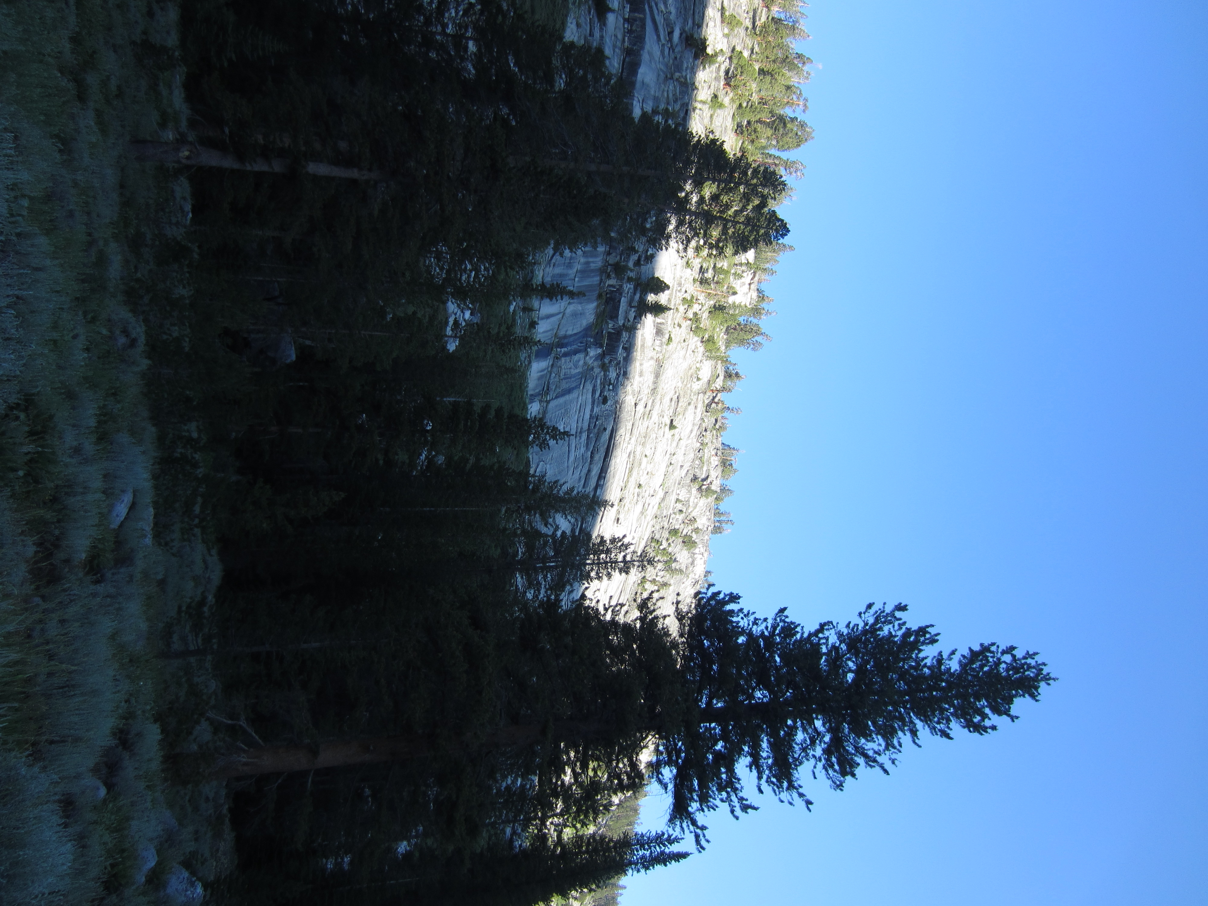
After a hard day of hiking that had us on the trail until after sunset, we found a little clearing to camp in that didn’t have too many mosquitoes. The next morning we woke up in the heart of lower Blue Canyon surrounded by cliffs and a surprising amount of sagebrush.
 Sitting in camp while I got ready to get out of the tent, my dad watched a bear trot by on the trail, either completely ignoring us or completely missing us. The bear was big and healthy, and heading down the trail to some good foraging grounds.
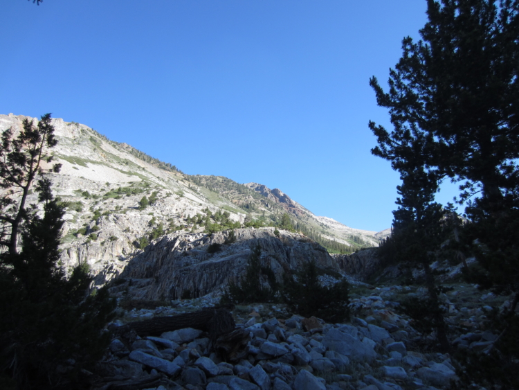
 The old cattleman’s cabin in the big meadow in Blue Canyon. Coyote Pass is above this cabin. If we come back here again, we’ll take Coyote Pass rather than stick to the “maintained” trail. The trail that is shown on the maps is nearly completely lost to the ever encroaching brush on the side of Kettle Dome. Also losing so many thousands of feet in elevation to go to the bottom of Blue Canyon is a bit pointless if you’re trying to access the high alpine lakes.
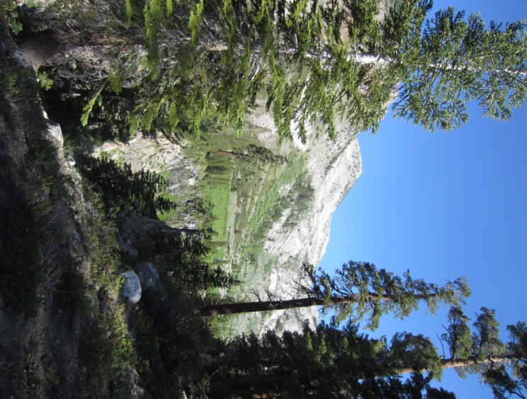
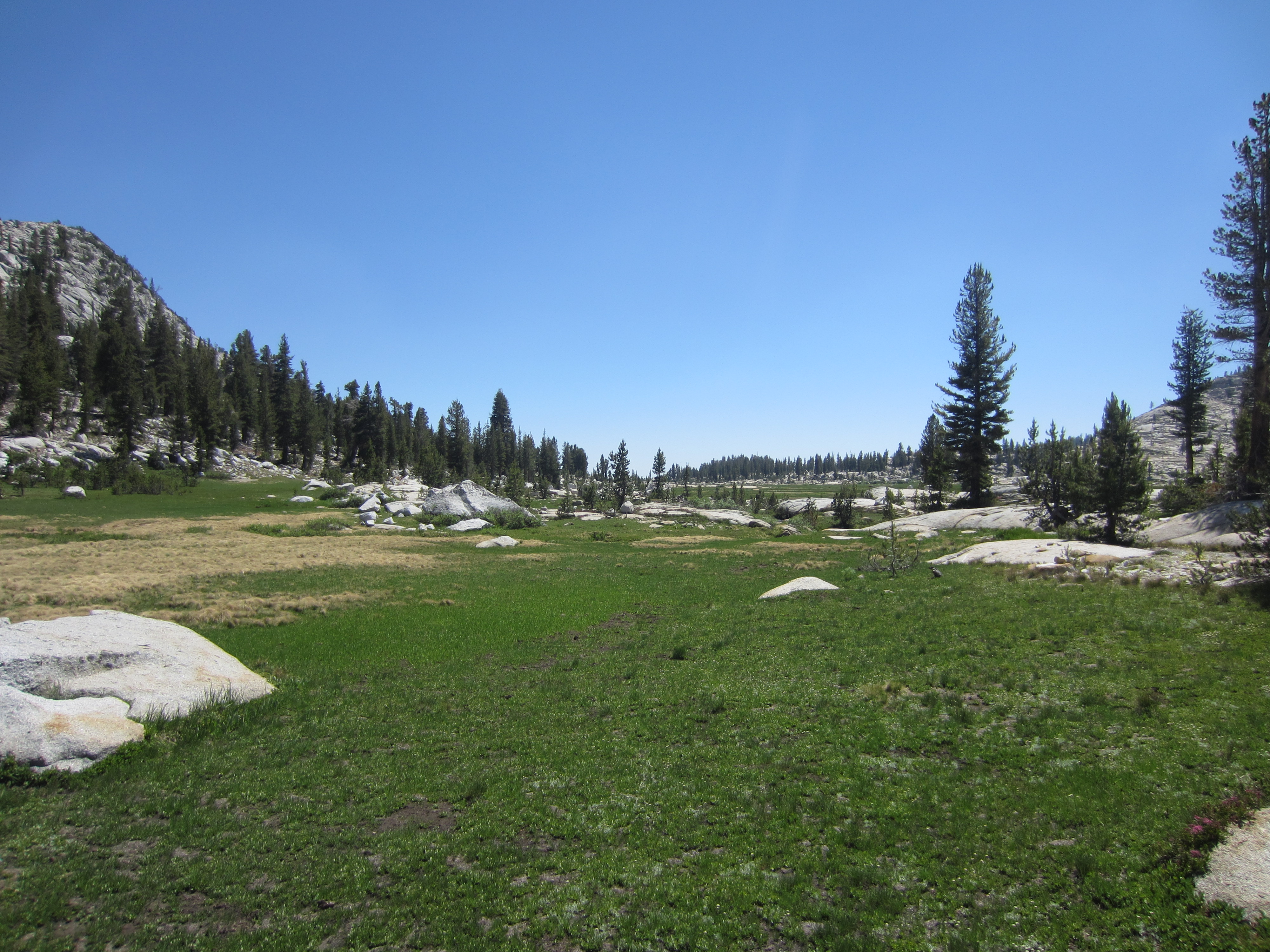
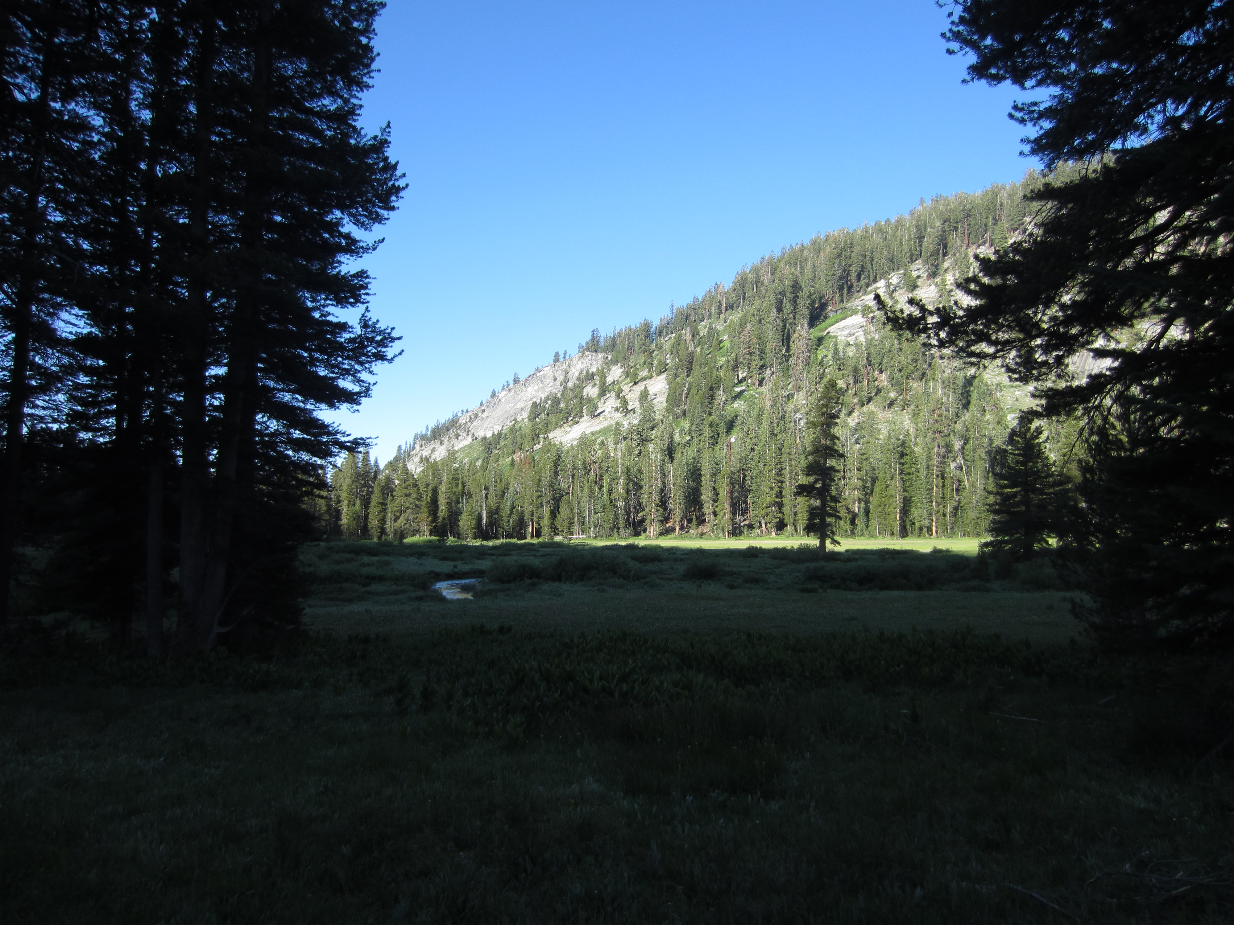
 The big meadow in Blue Canyon. I bet this was a lake once.
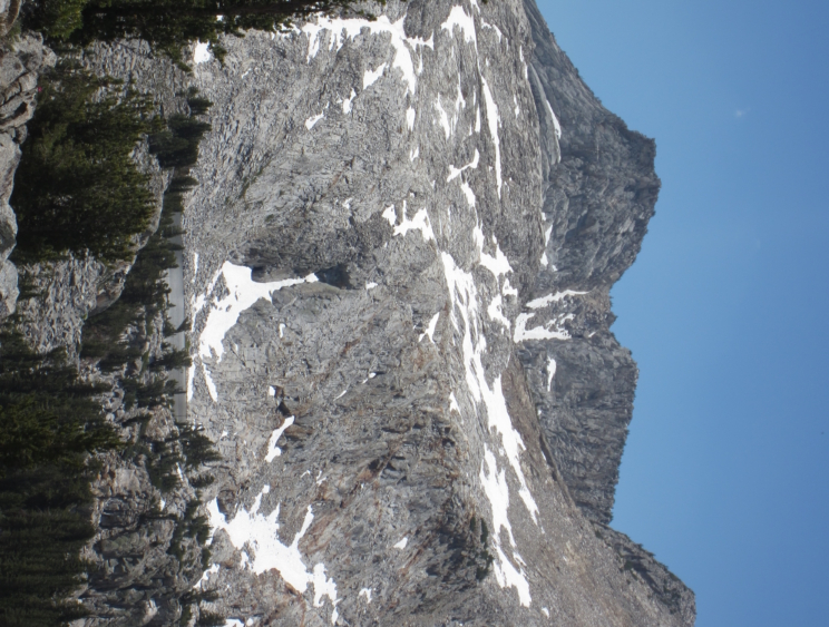
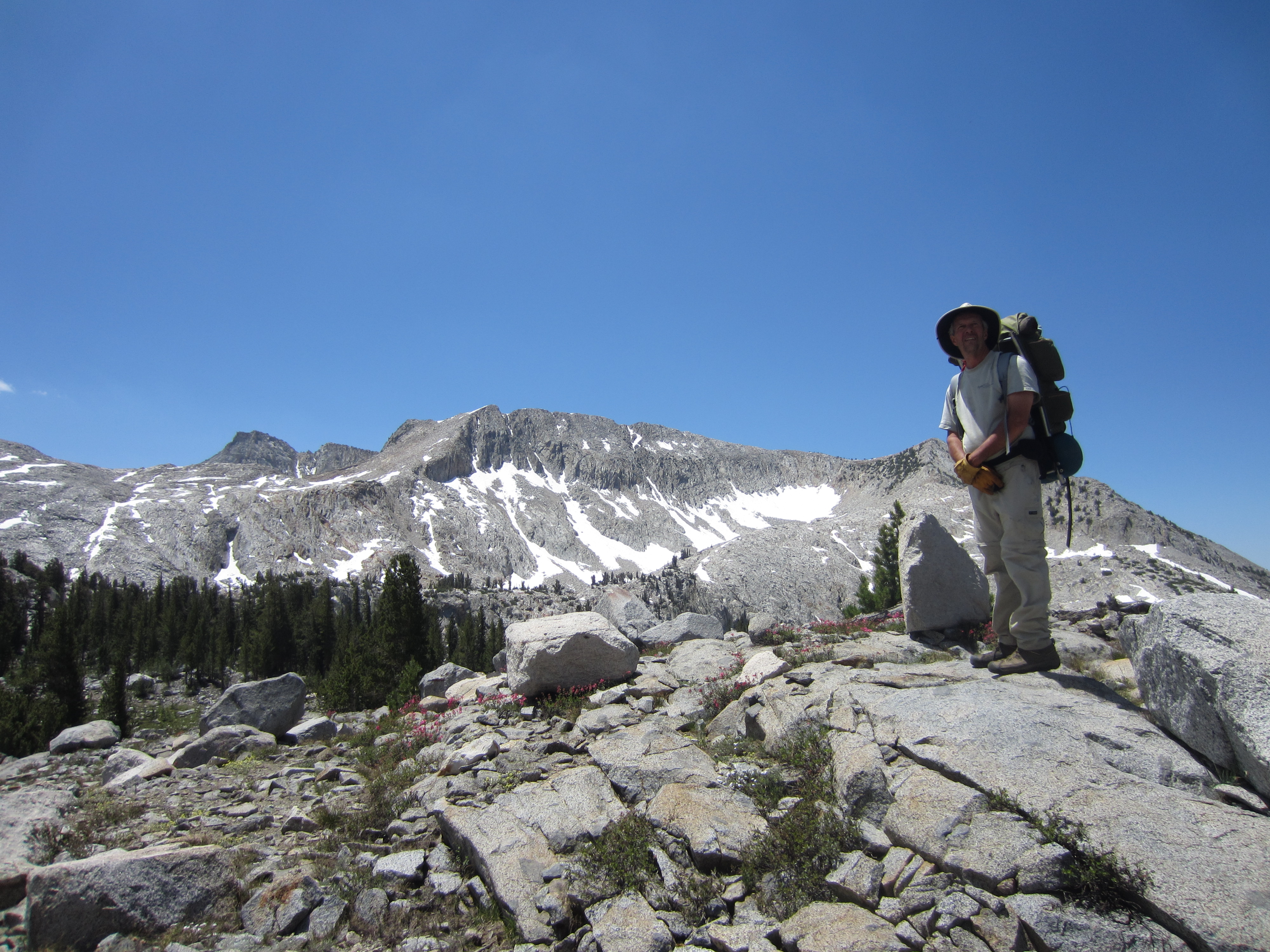
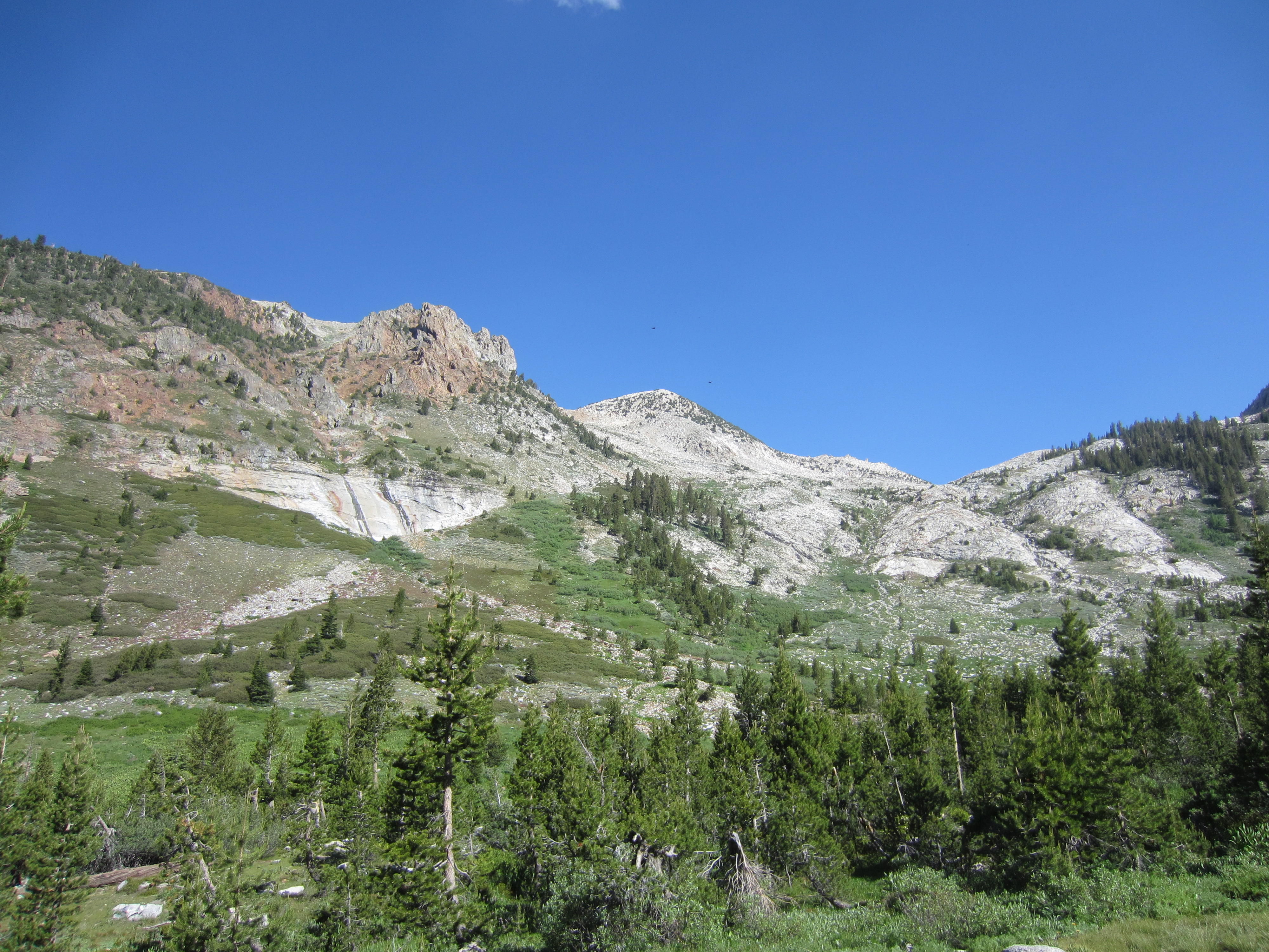
 A metamorphic intrusion on top of the ridge.
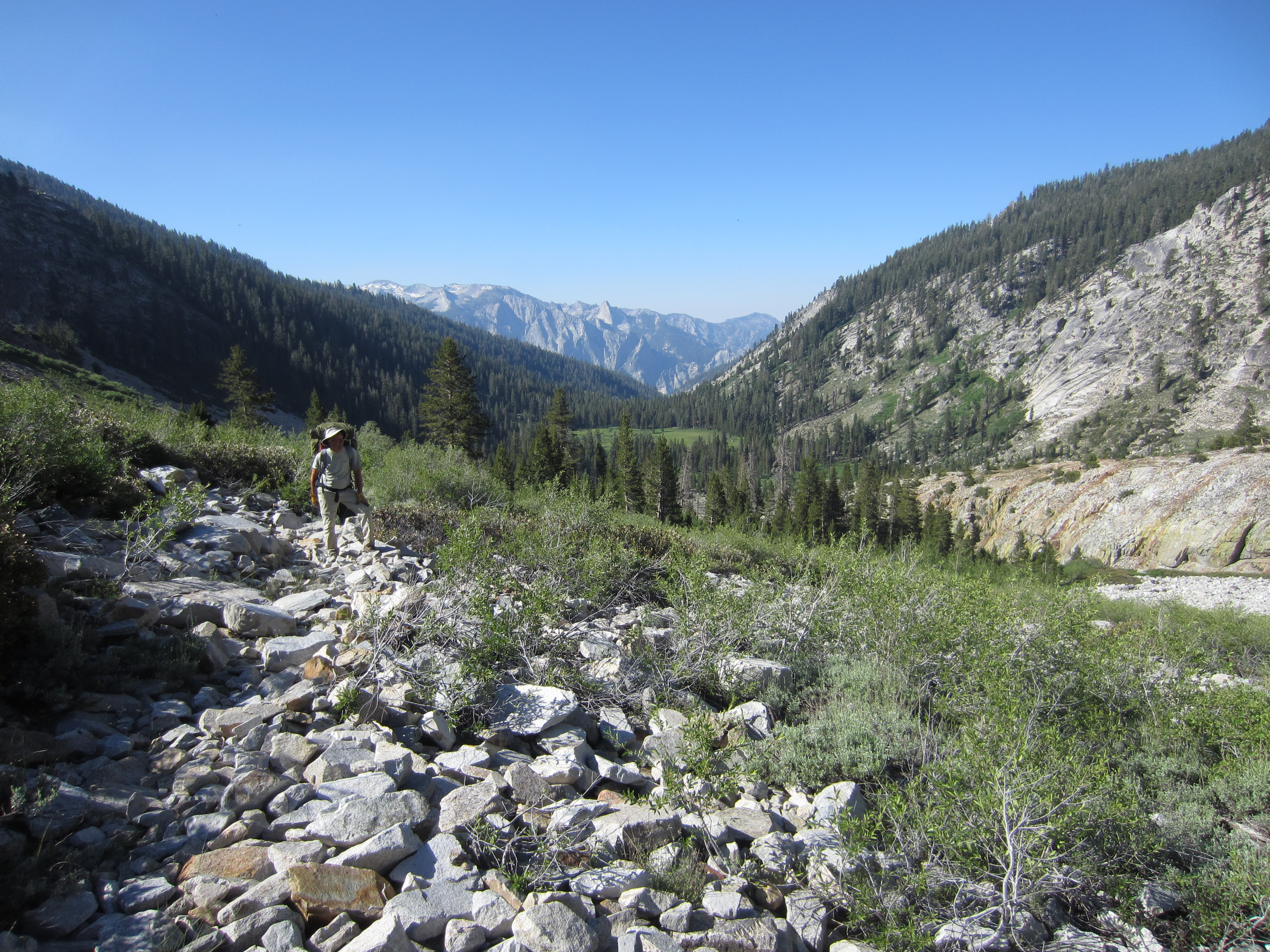
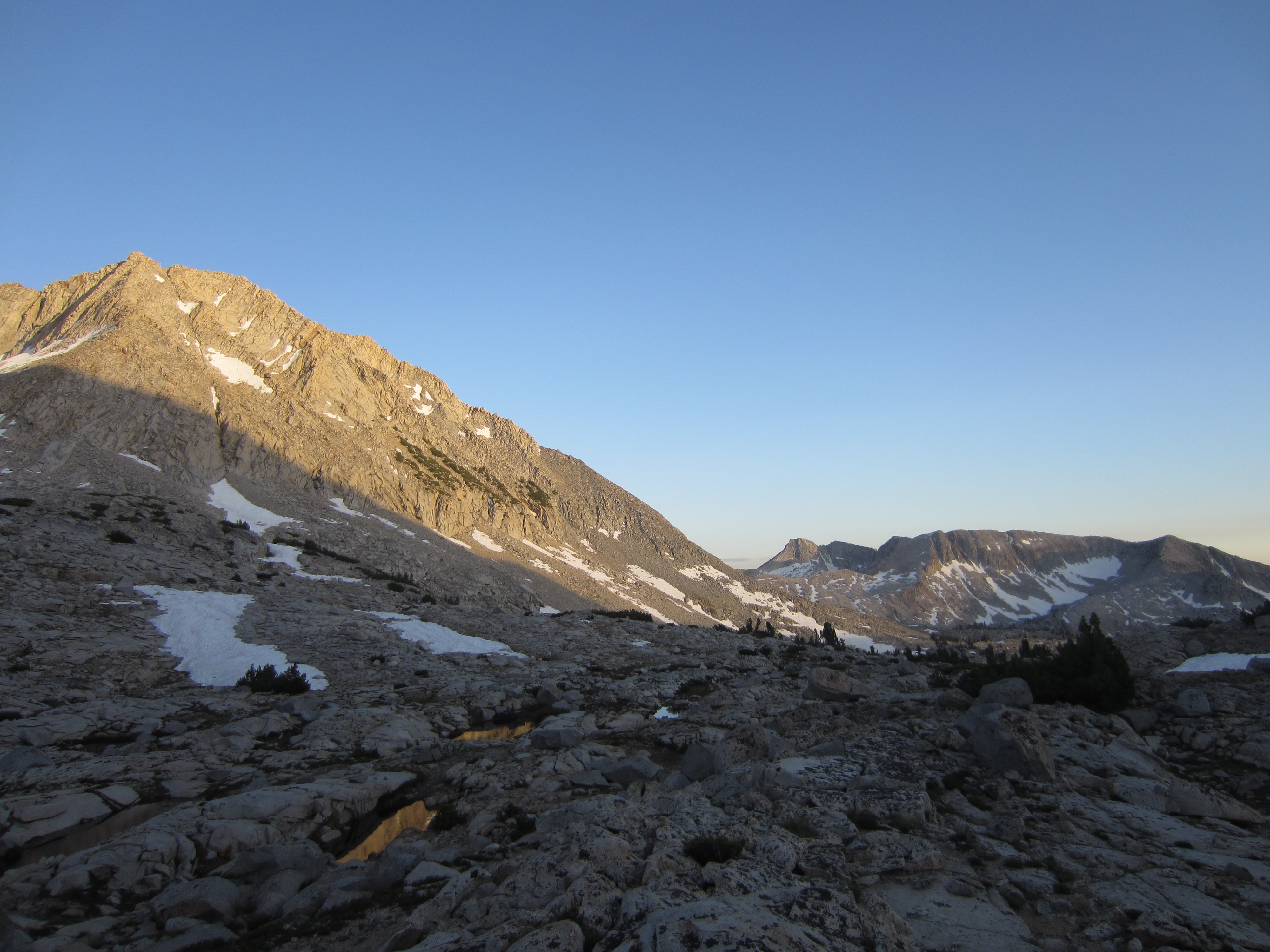
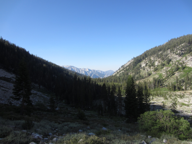 Big mountains on the other side of Tehipite Valley.
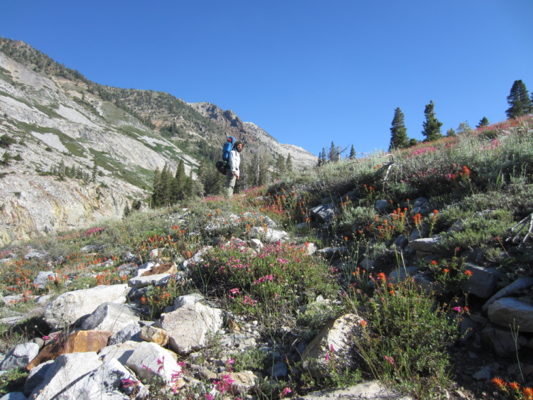
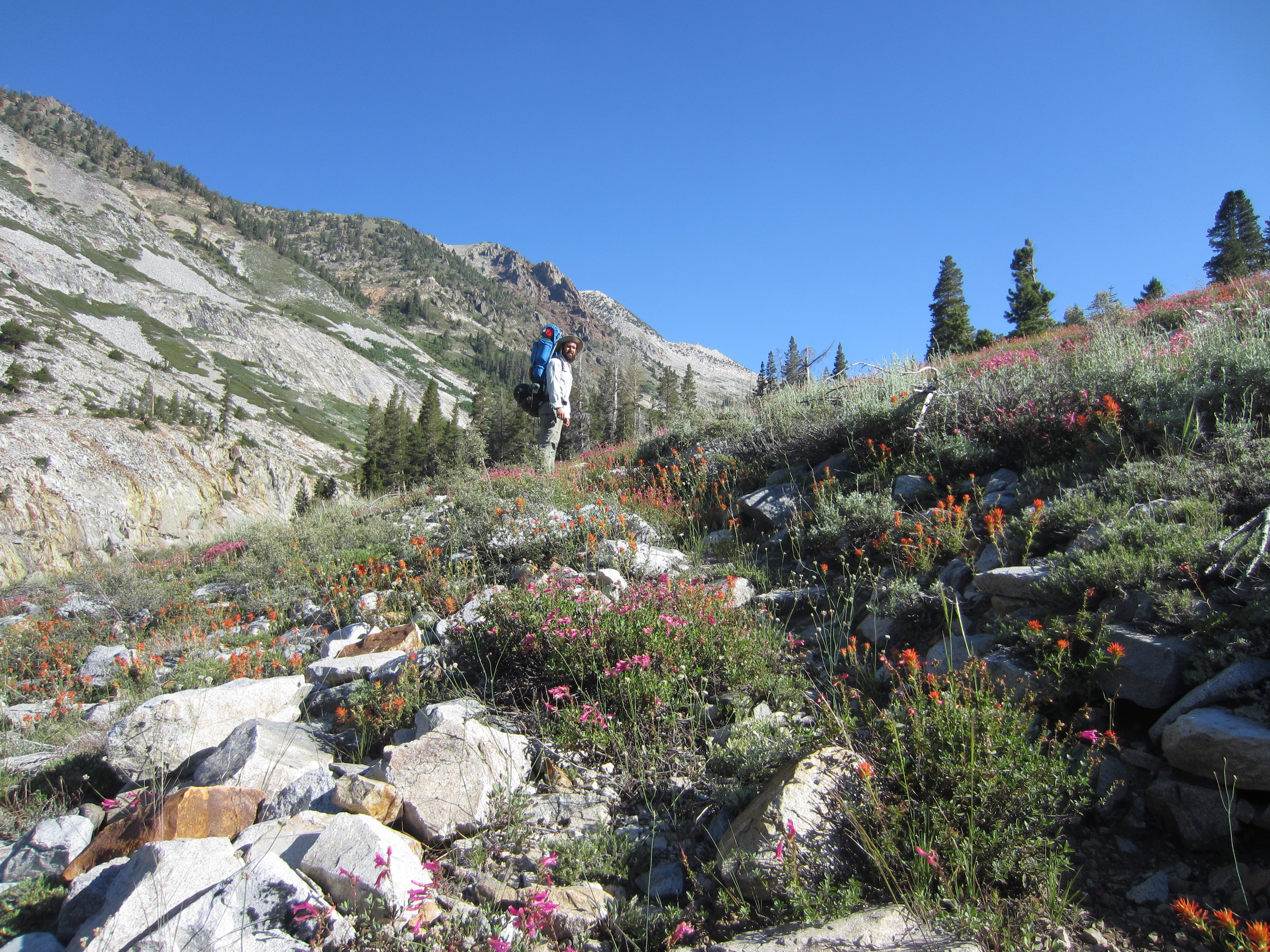
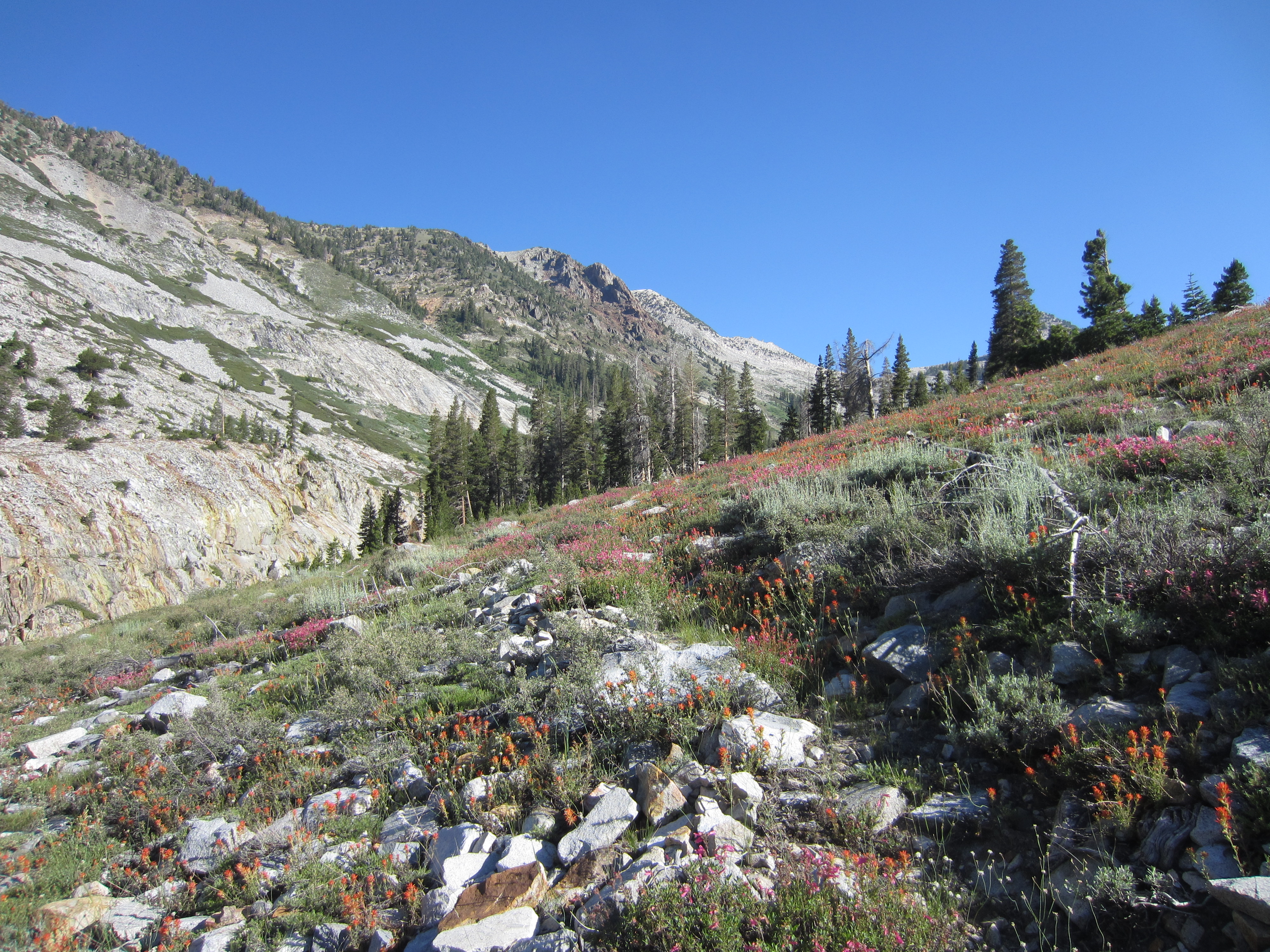
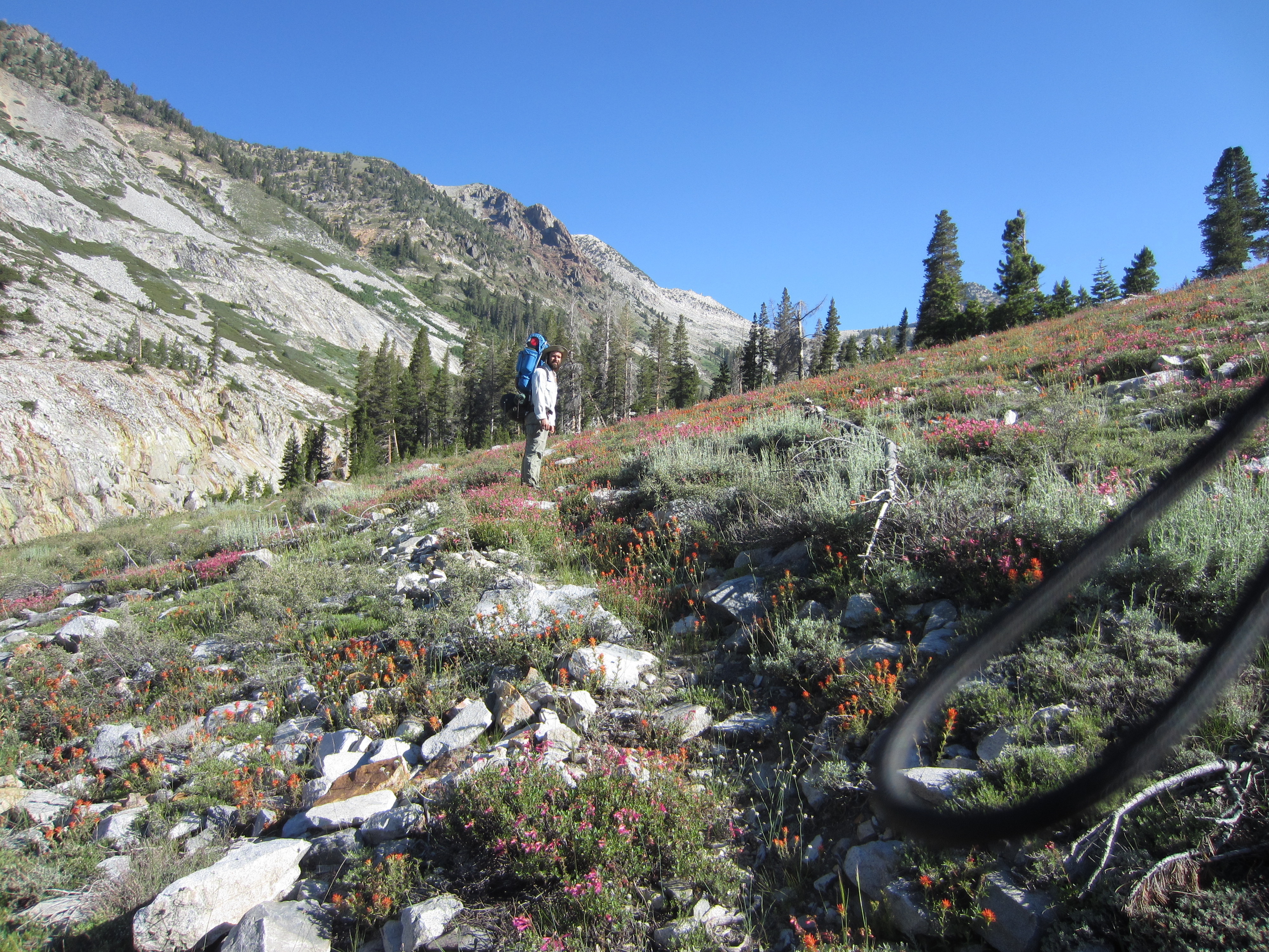
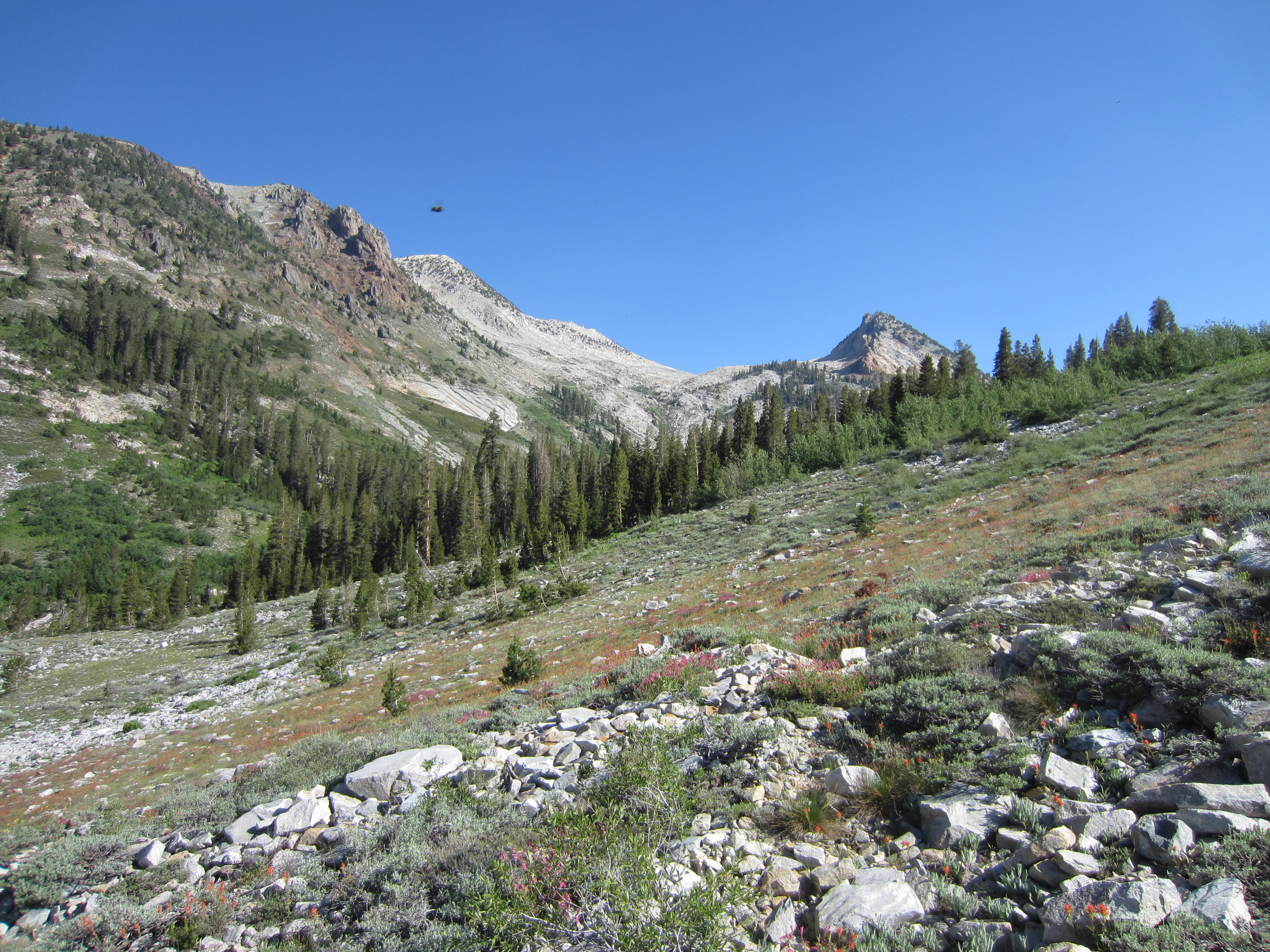
Crossing a big moraine full of wildflowers.
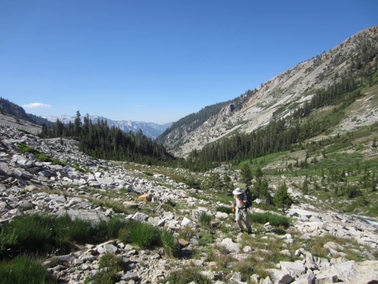
 Picking our way up the old trail.
 A big chasm in the granite where the water roars through from the melting snow above.
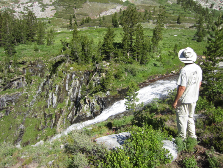
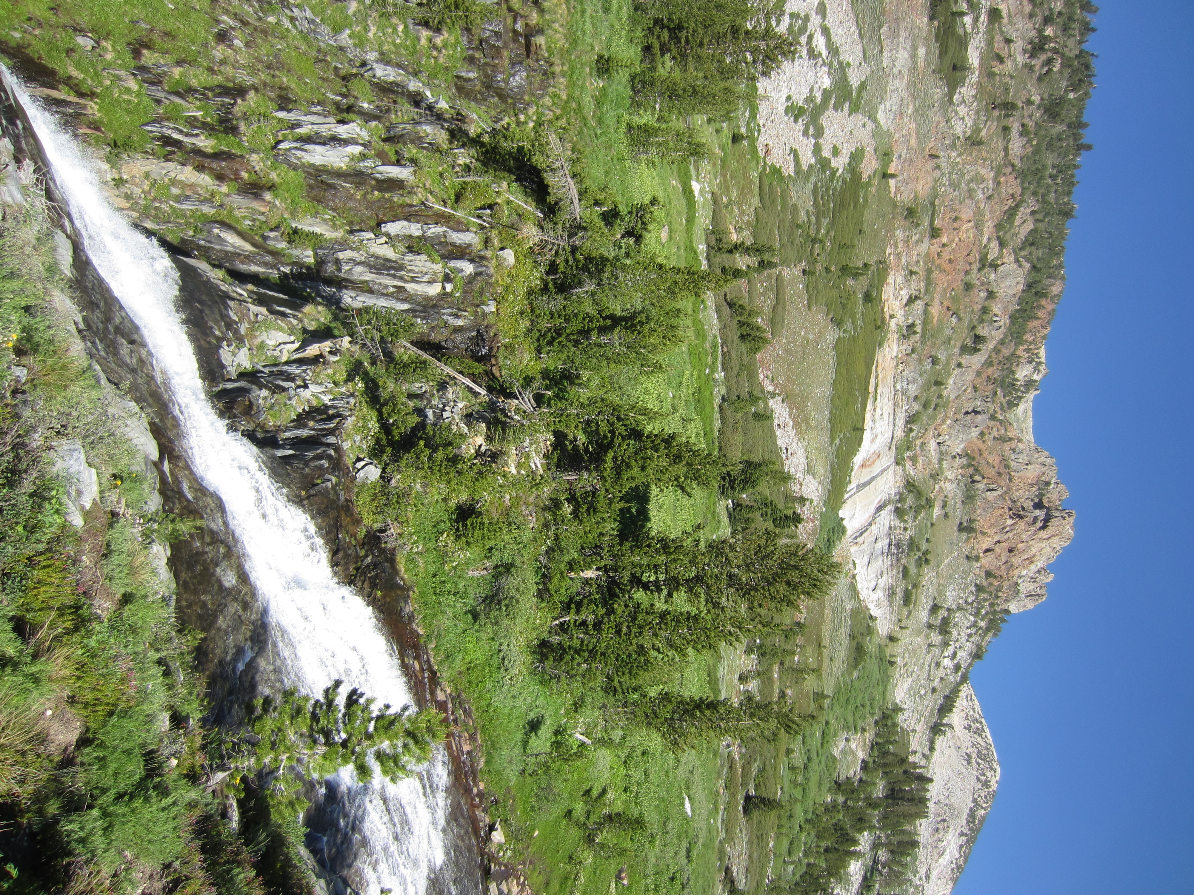
The cascade into the canyon. I wouldn’t want to take a ride down this waterfall.
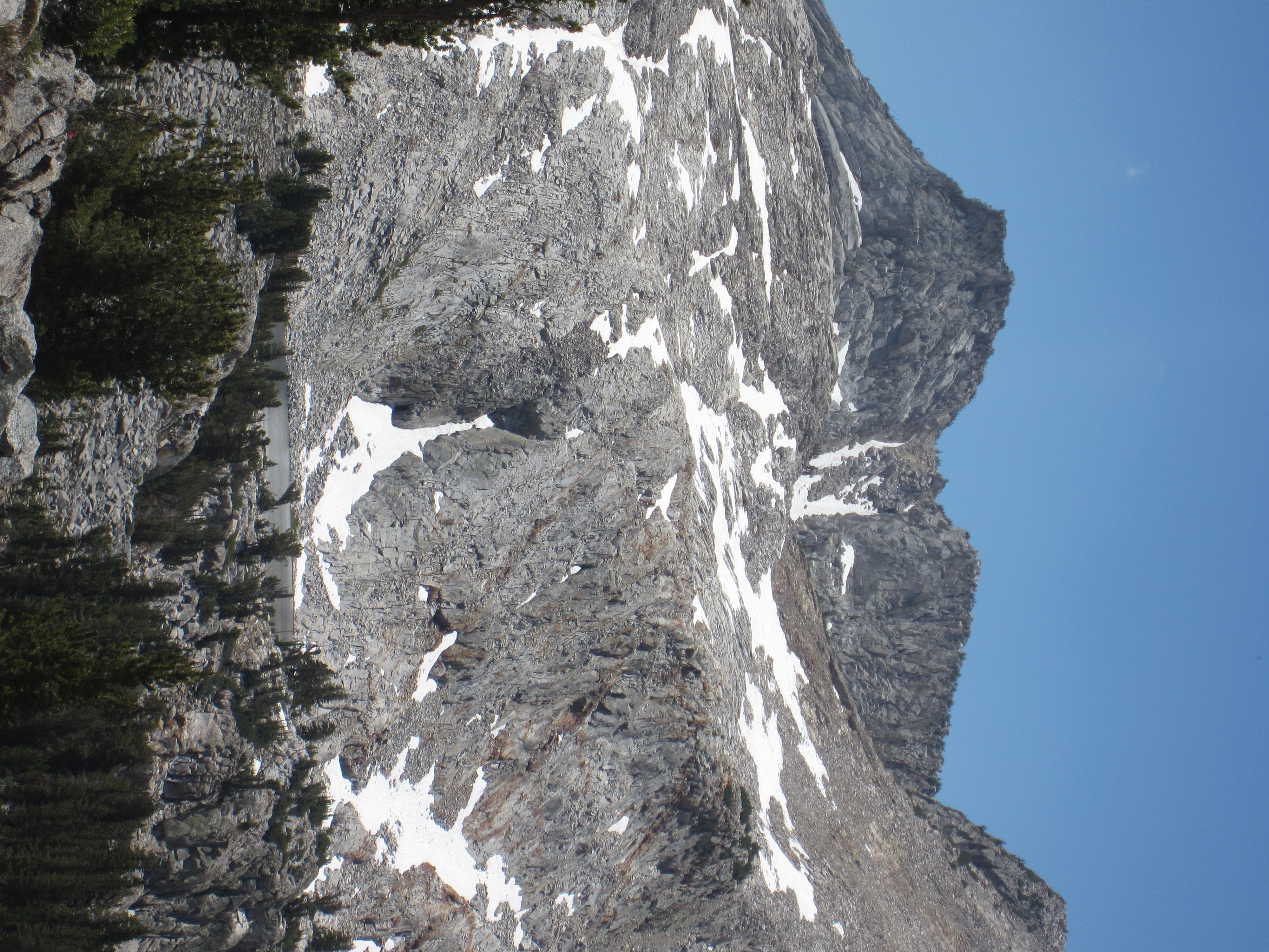
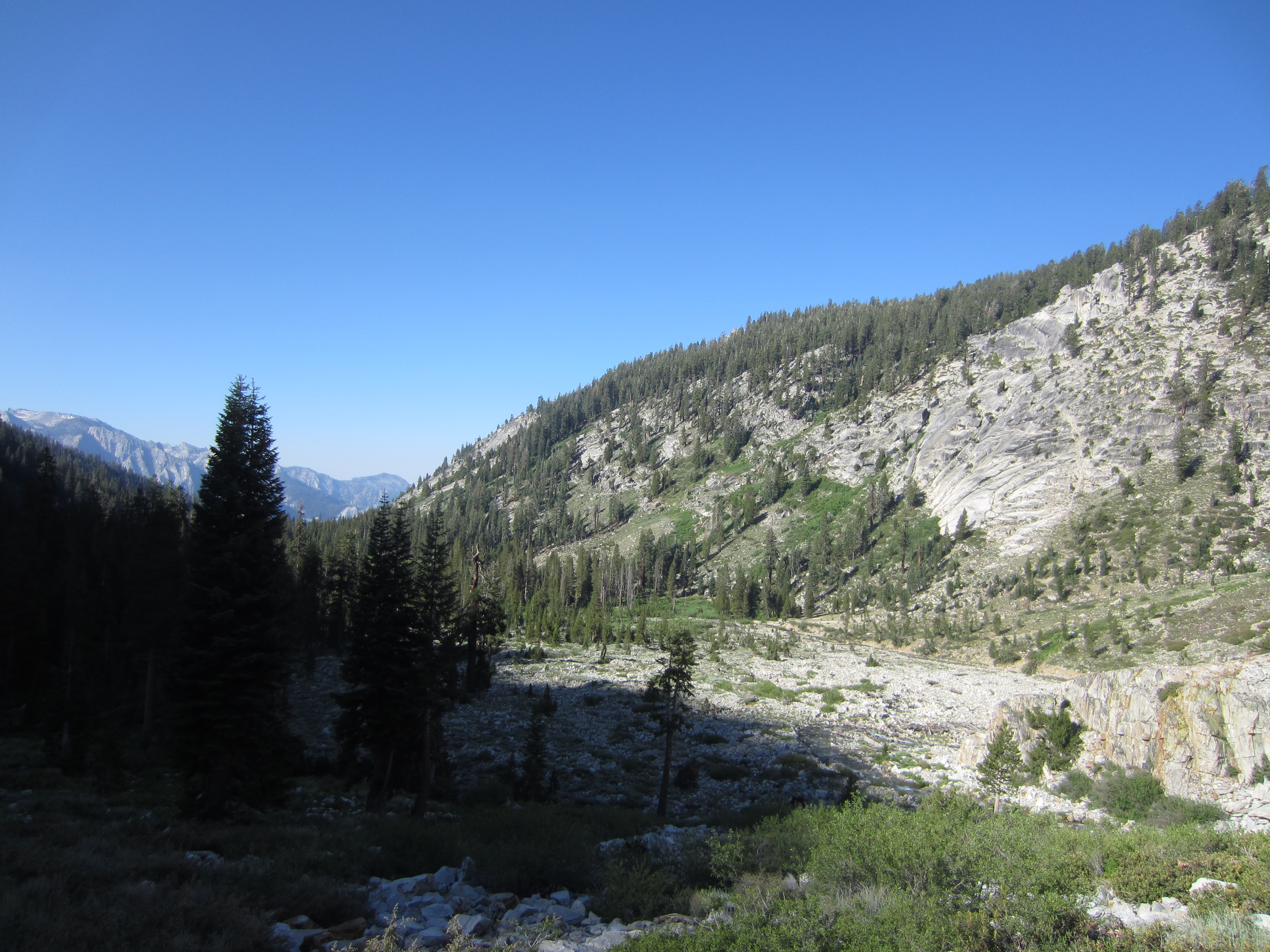
 This must have been scoured out by many successive floods and a few glaciers.
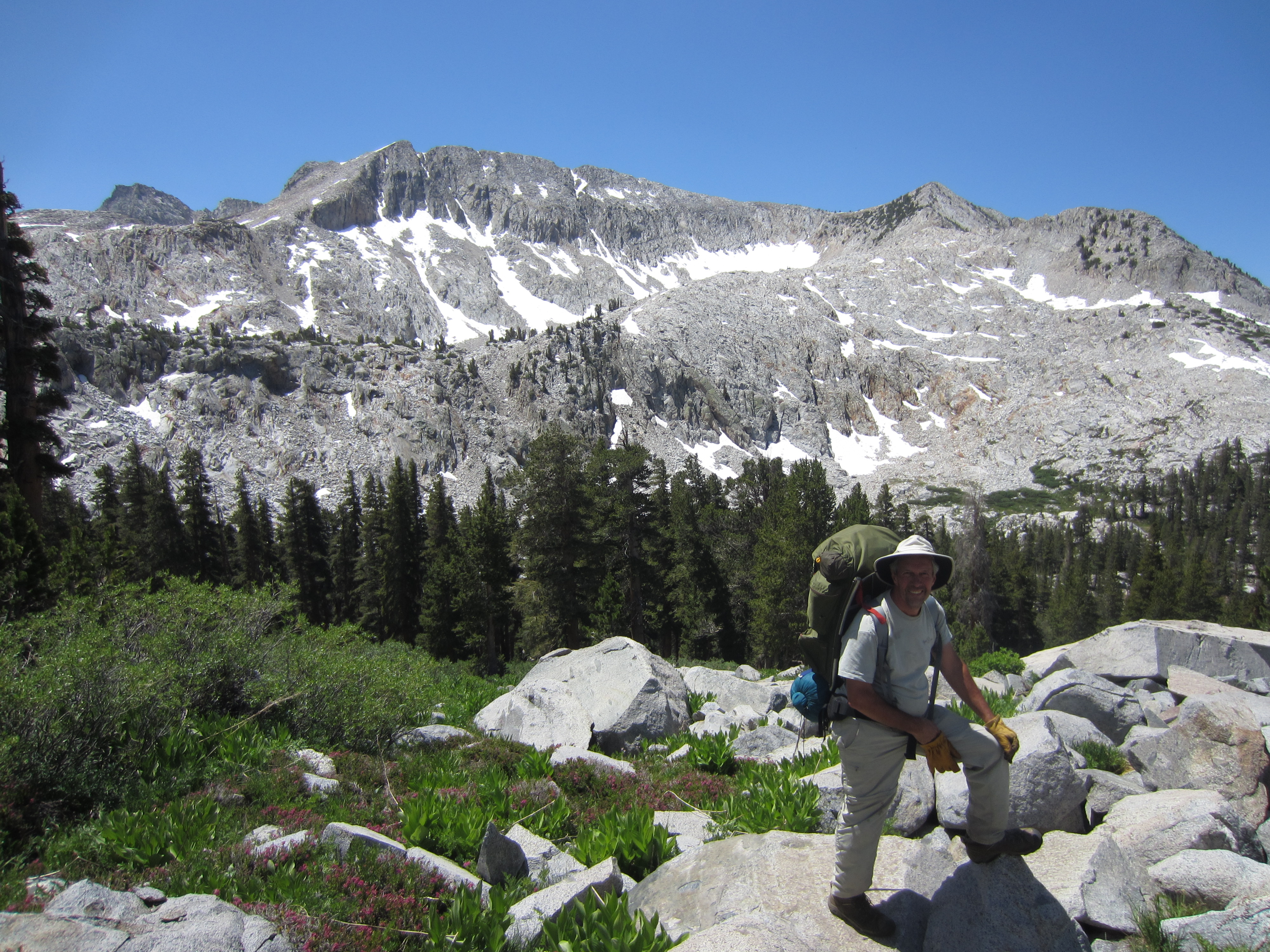
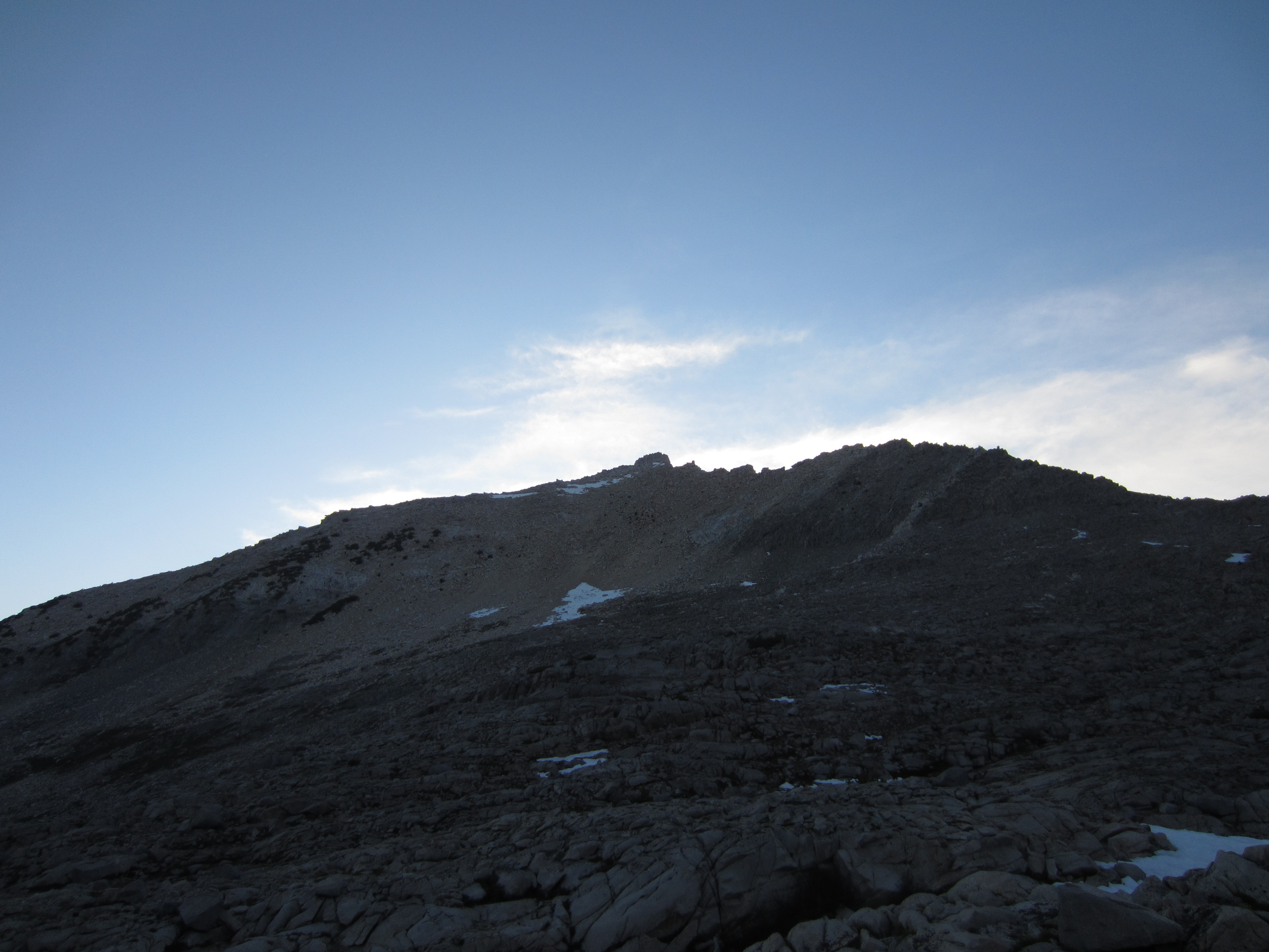
 Climbing higher, swatting mosquitoes.
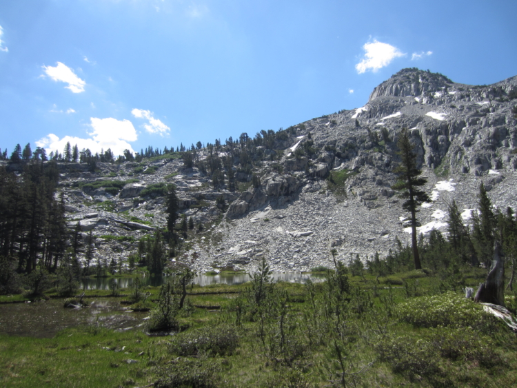
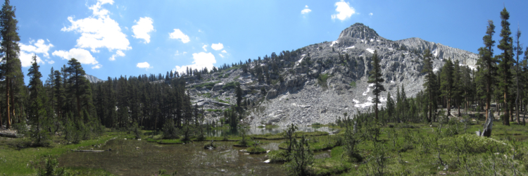
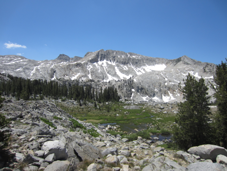
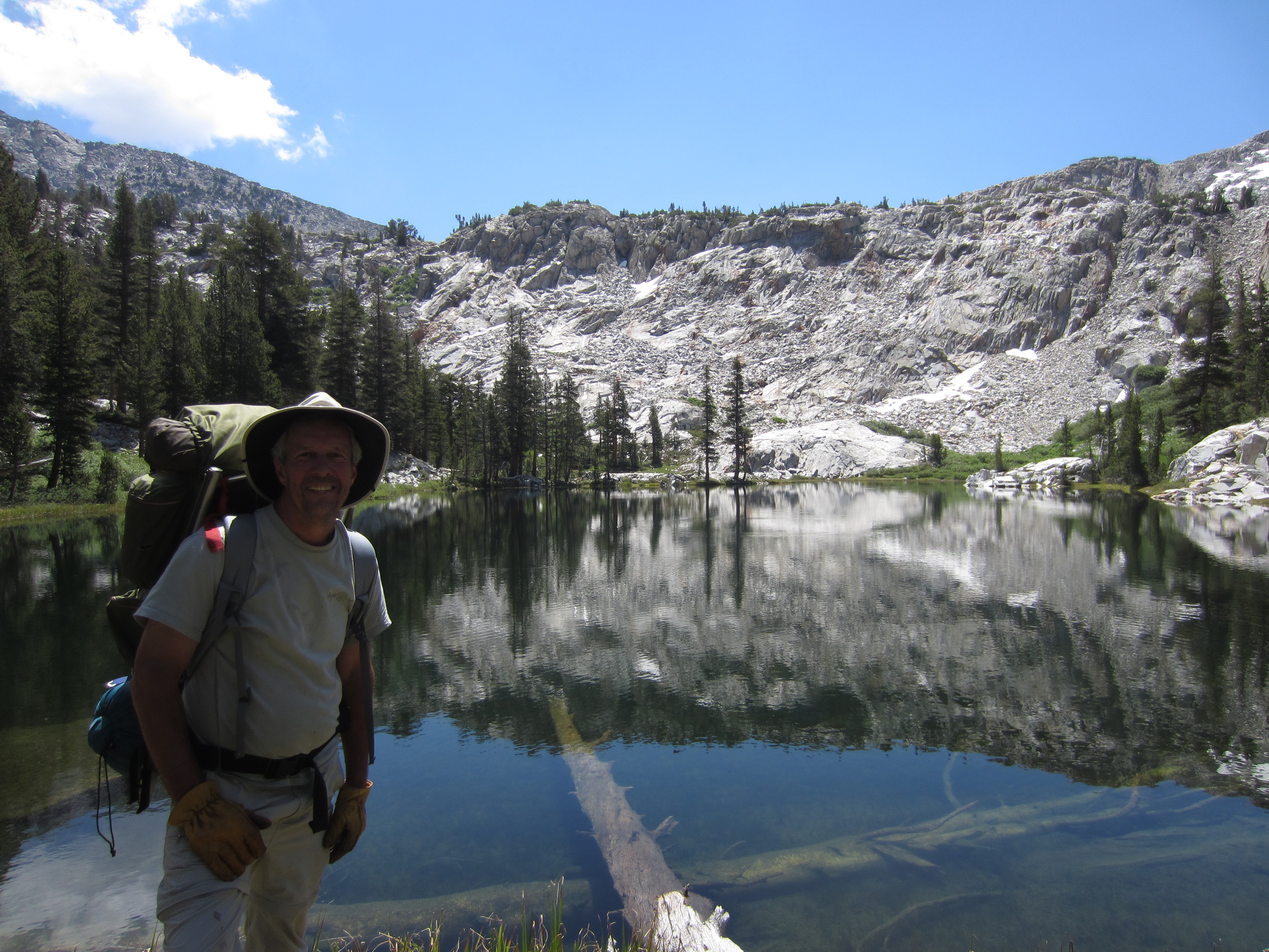
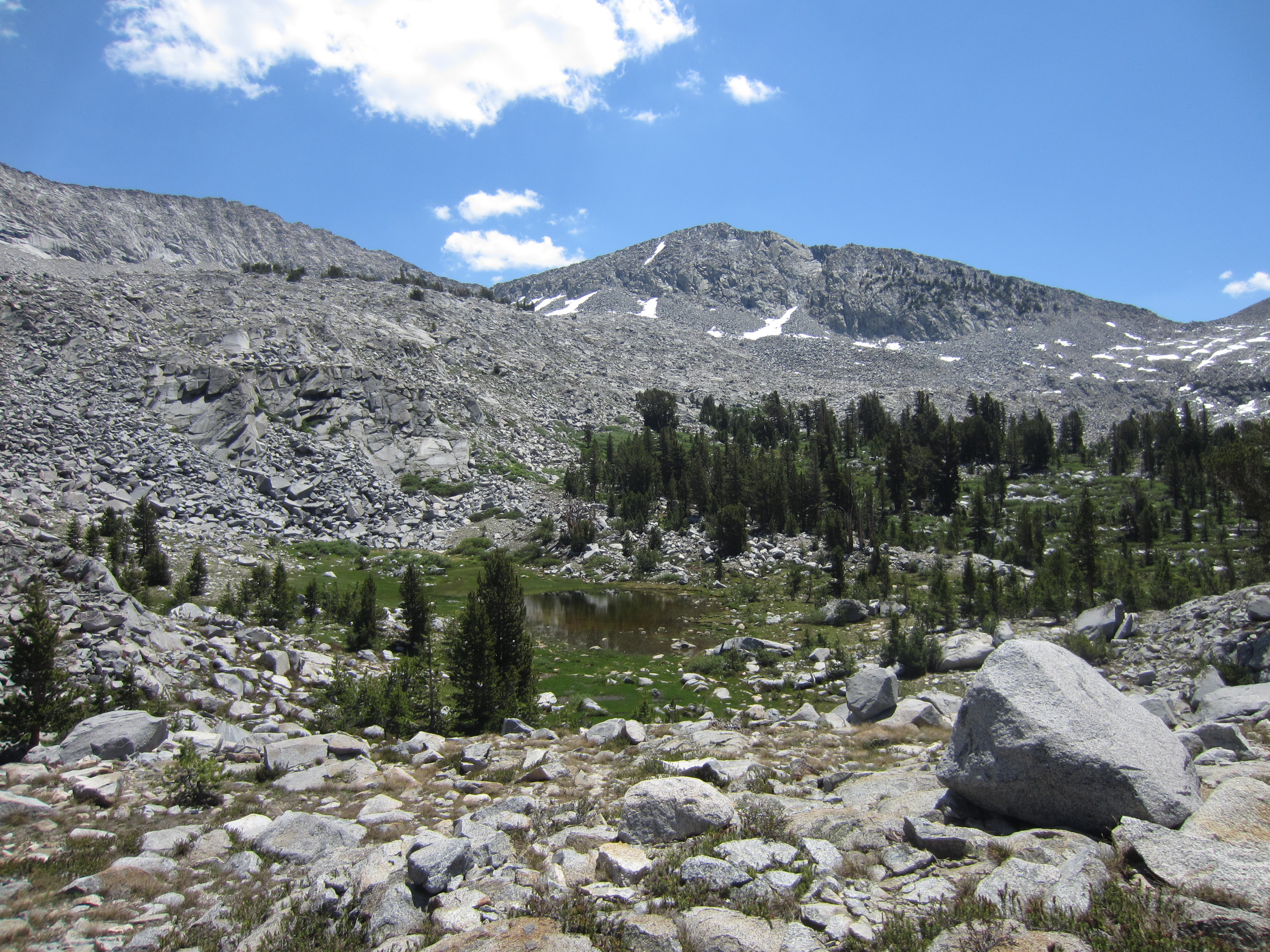
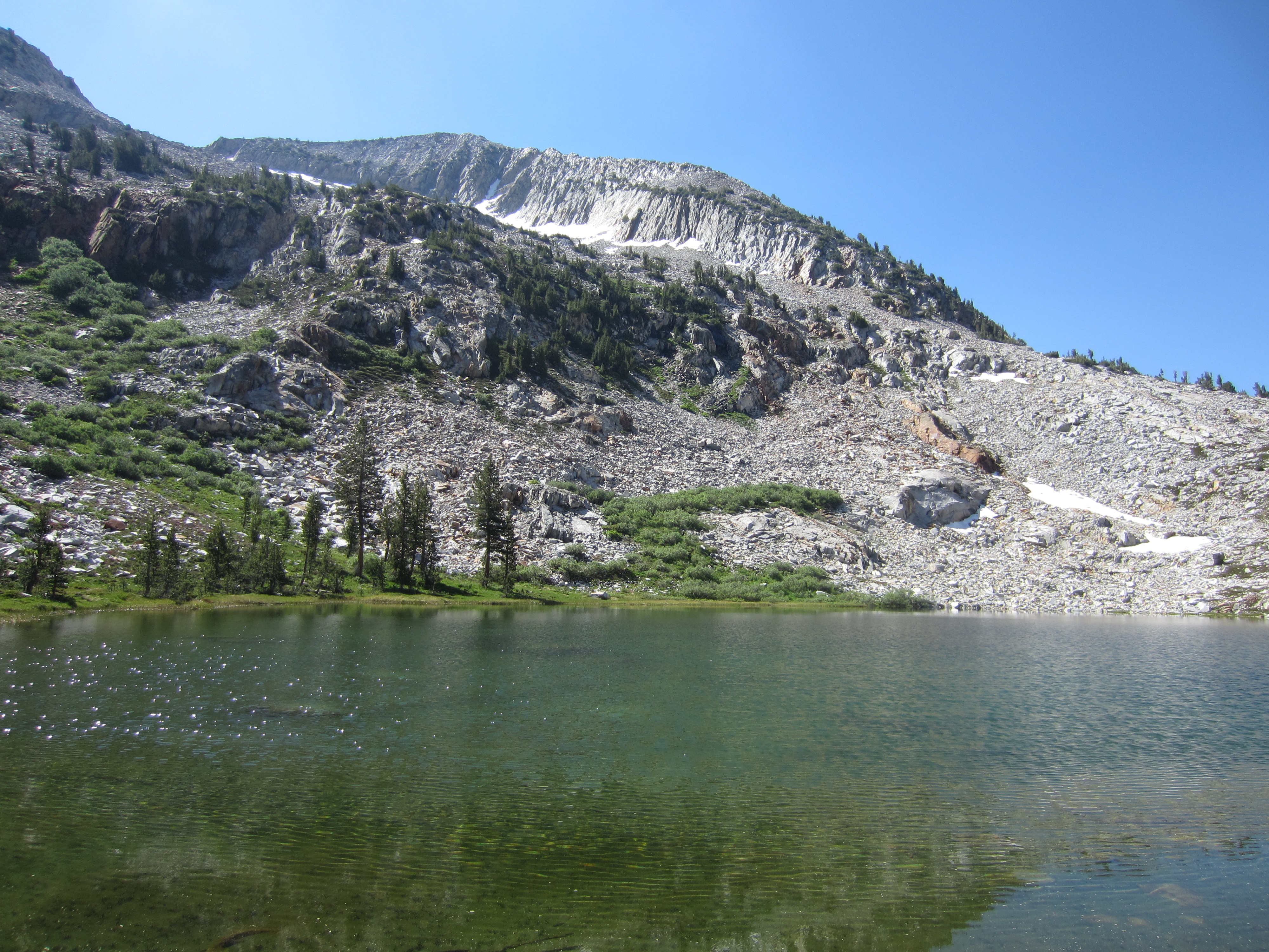
 Up at the first and lowest lake in the canyon. None of these lakes are named so it makes identifying them a bit difficult.
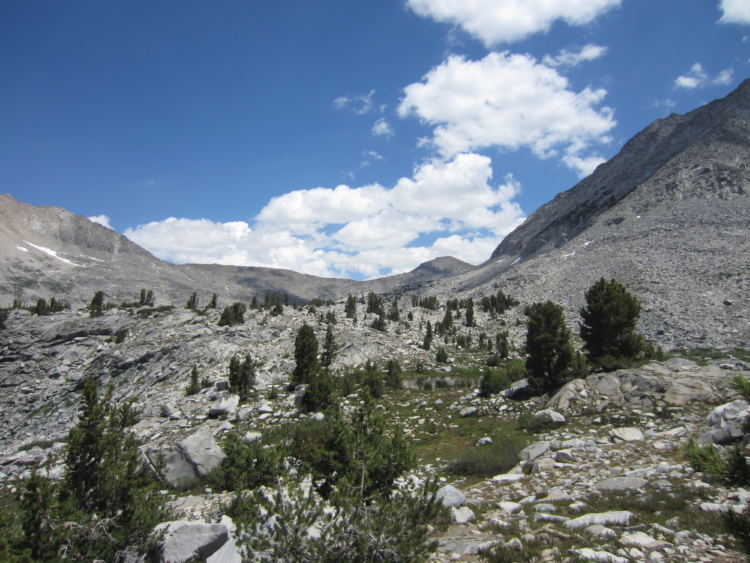
 Heading toward another small lake.
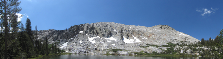
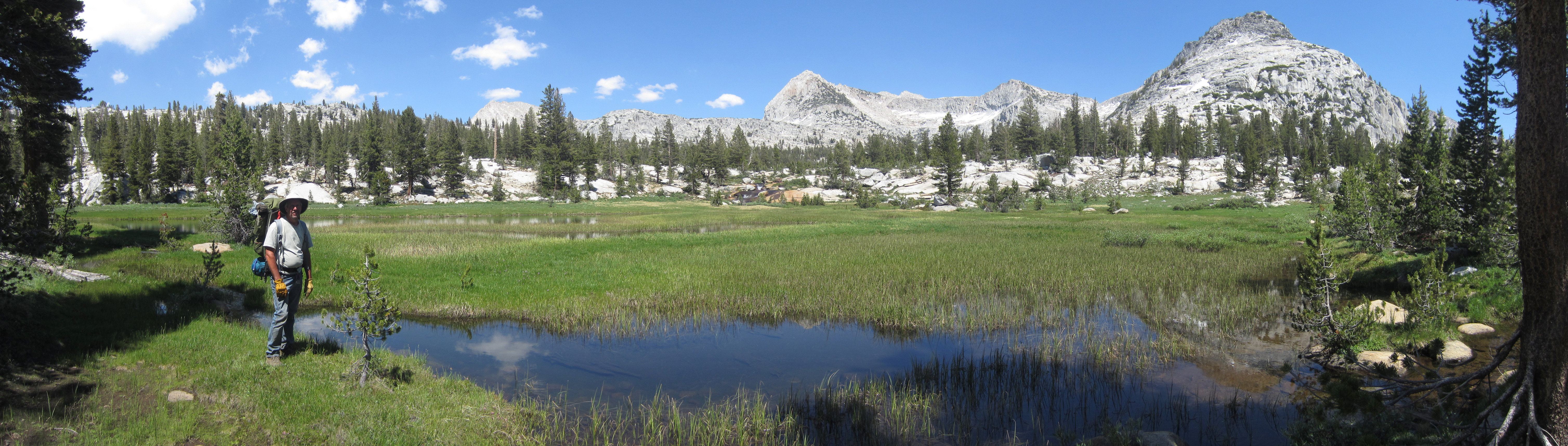
It is incredibly pretty up here. We were probably the first people to see this lake in the last five years.
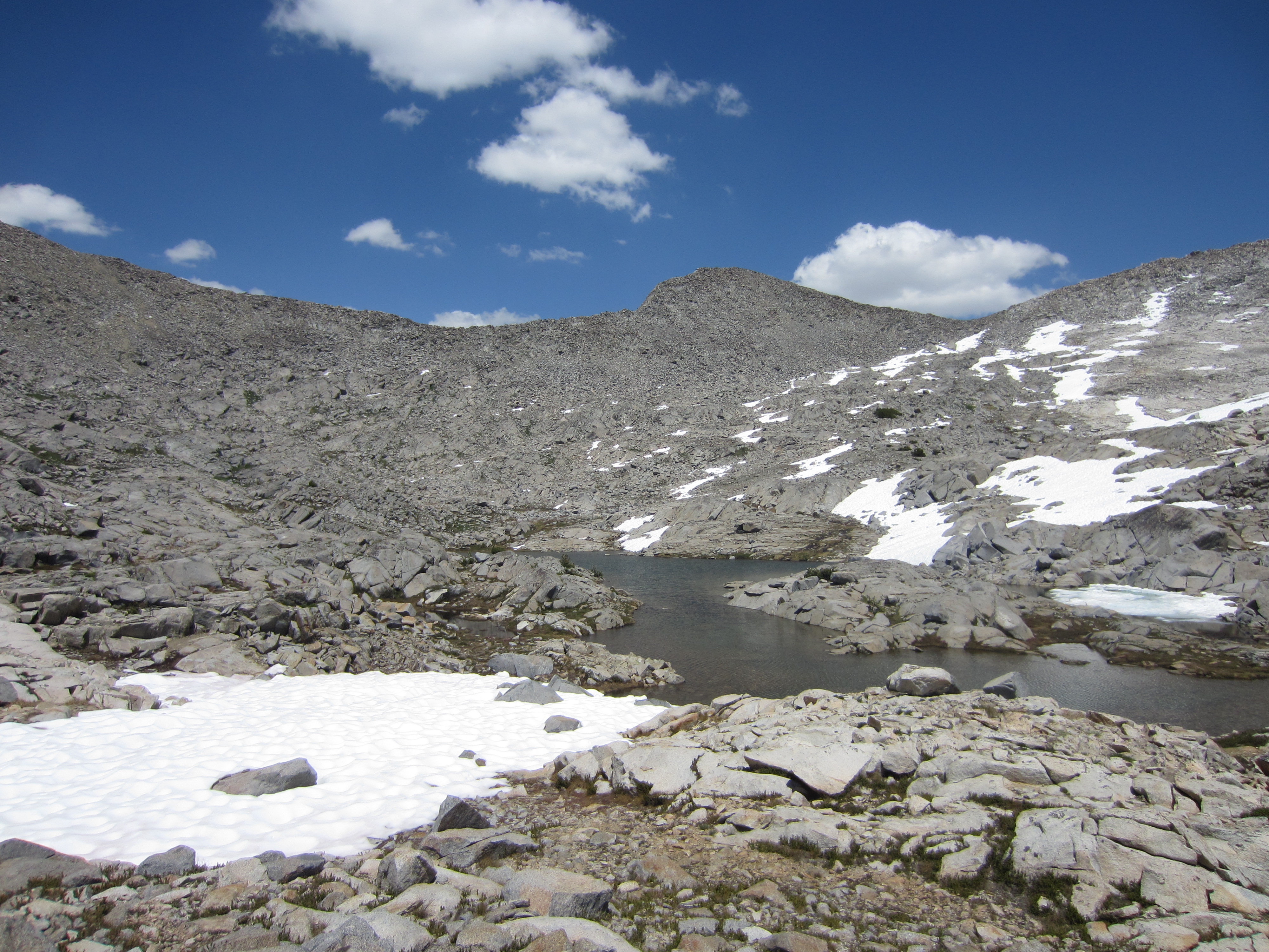
 Lots of water everywhere from the ongoing snowmelt.
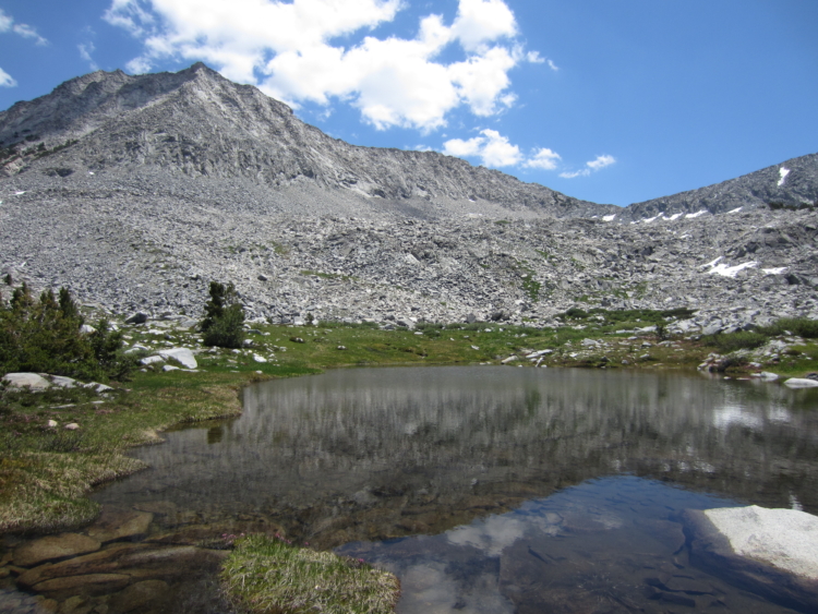
 Another pretty little lake.
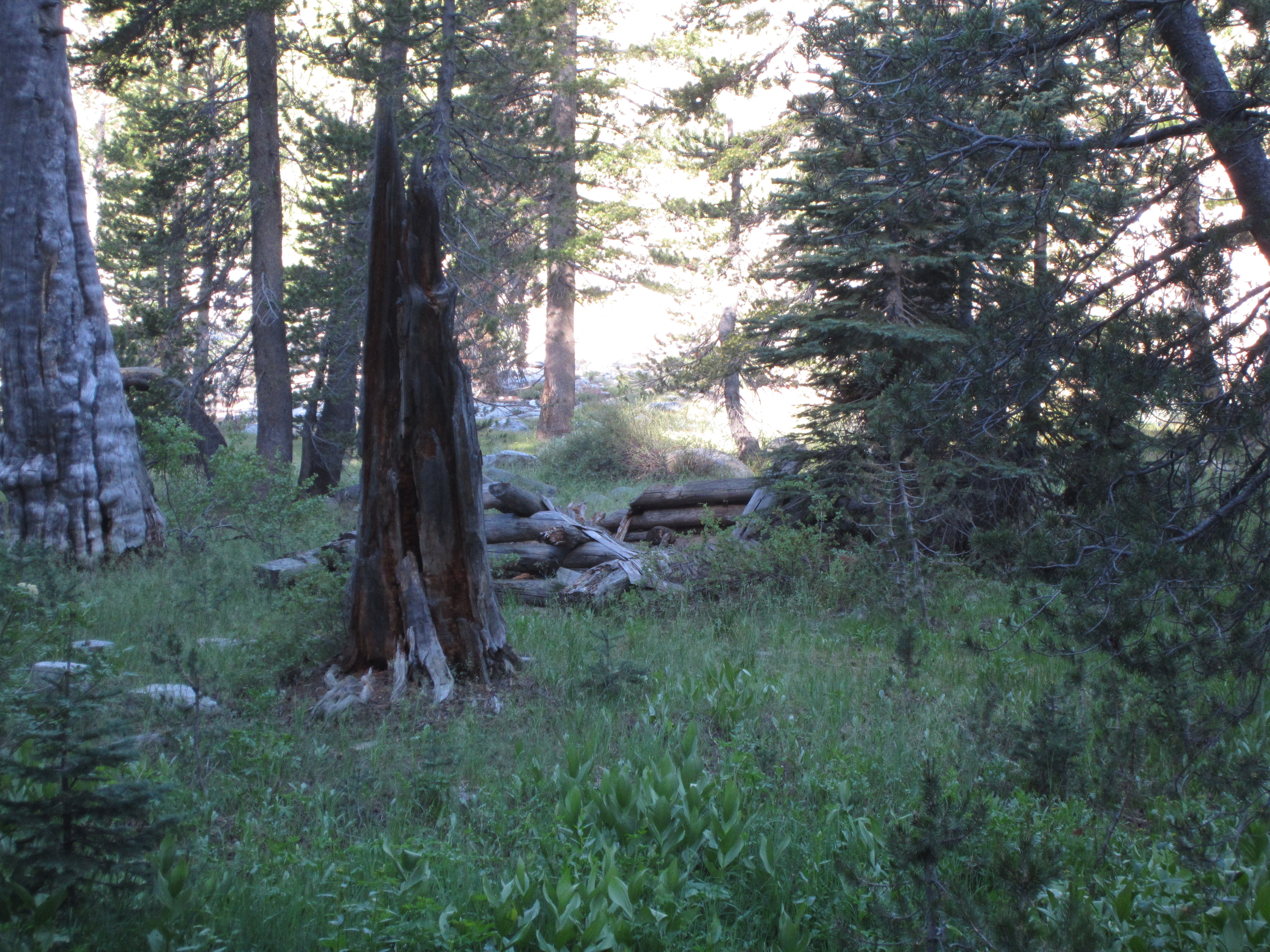
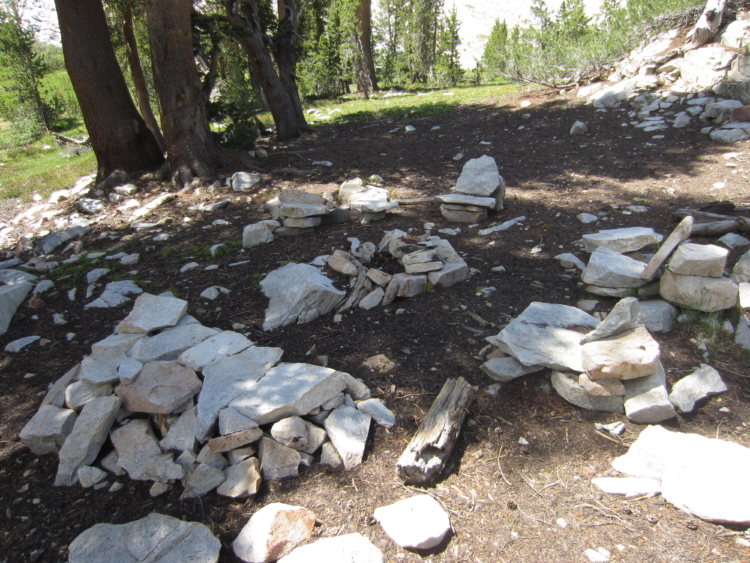 This lake has an old horse camp at it. Lots of rockwork tastefully done. A few nails in the trees but no garbage. It’s been a long time since someone camped here.

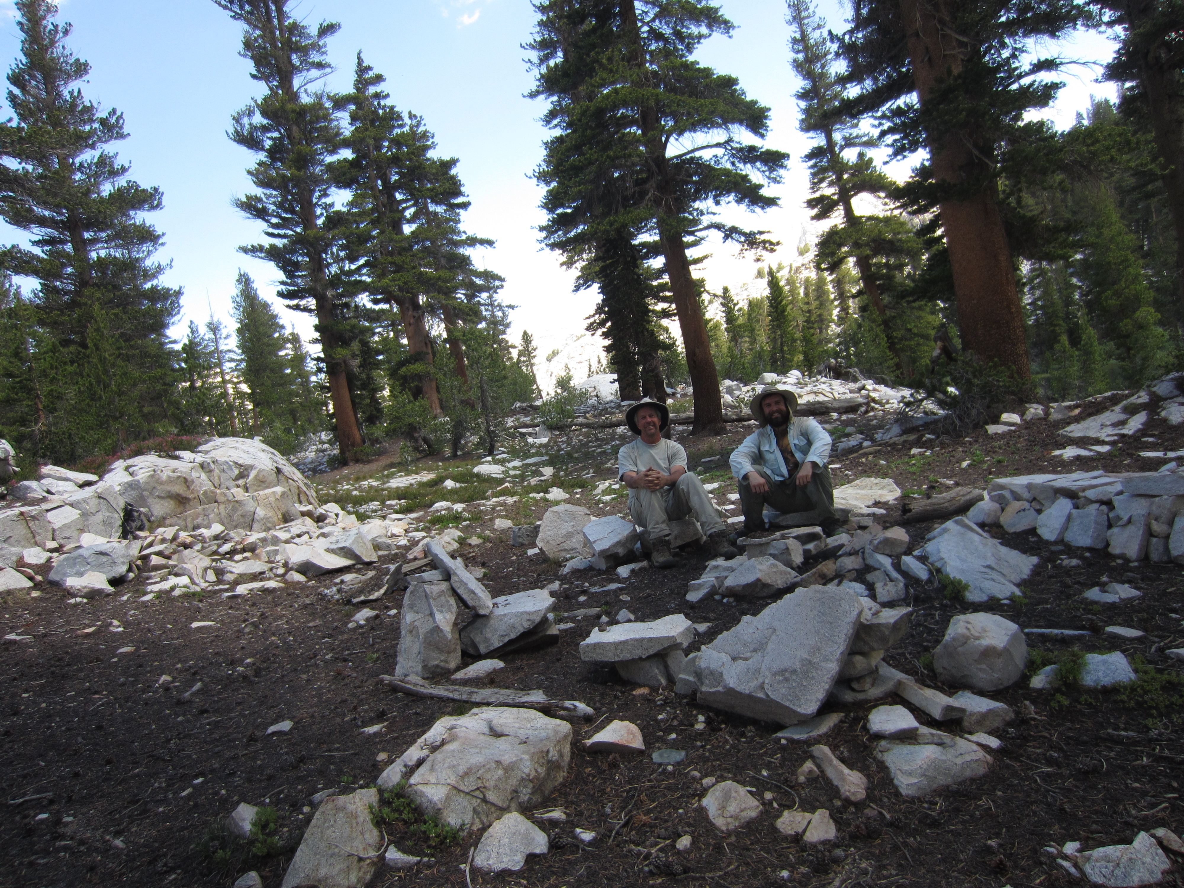
 Sitting on the chairs at the old camp.
 Walking around a lake.

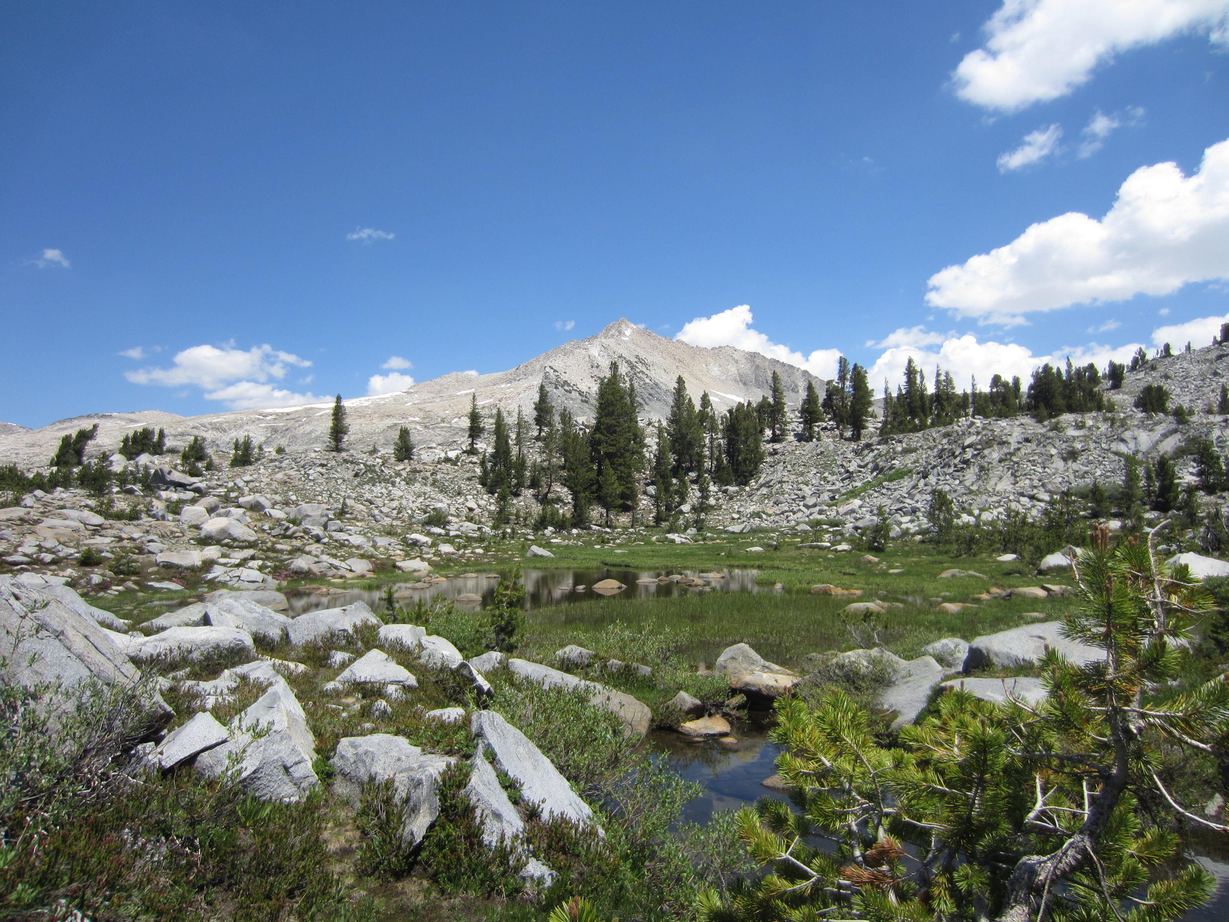
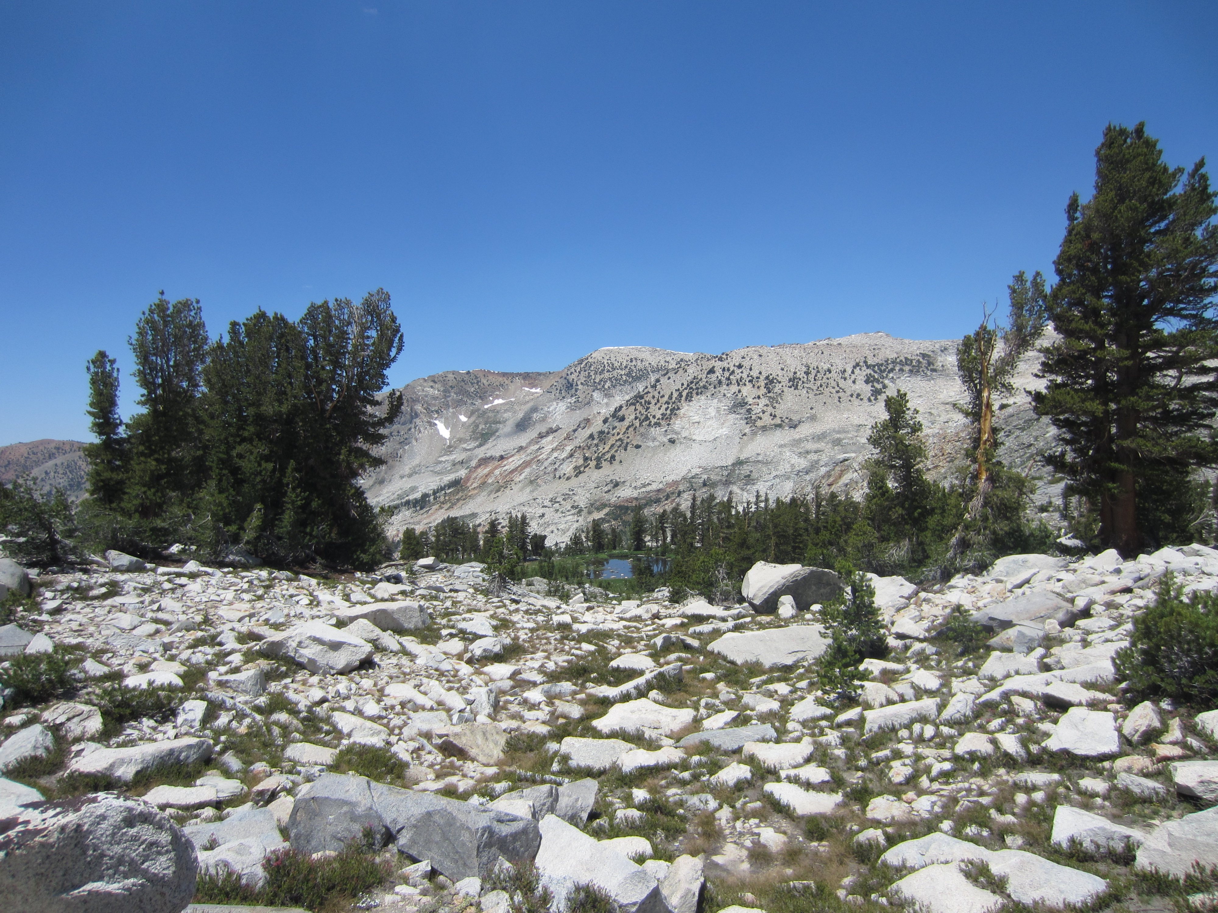
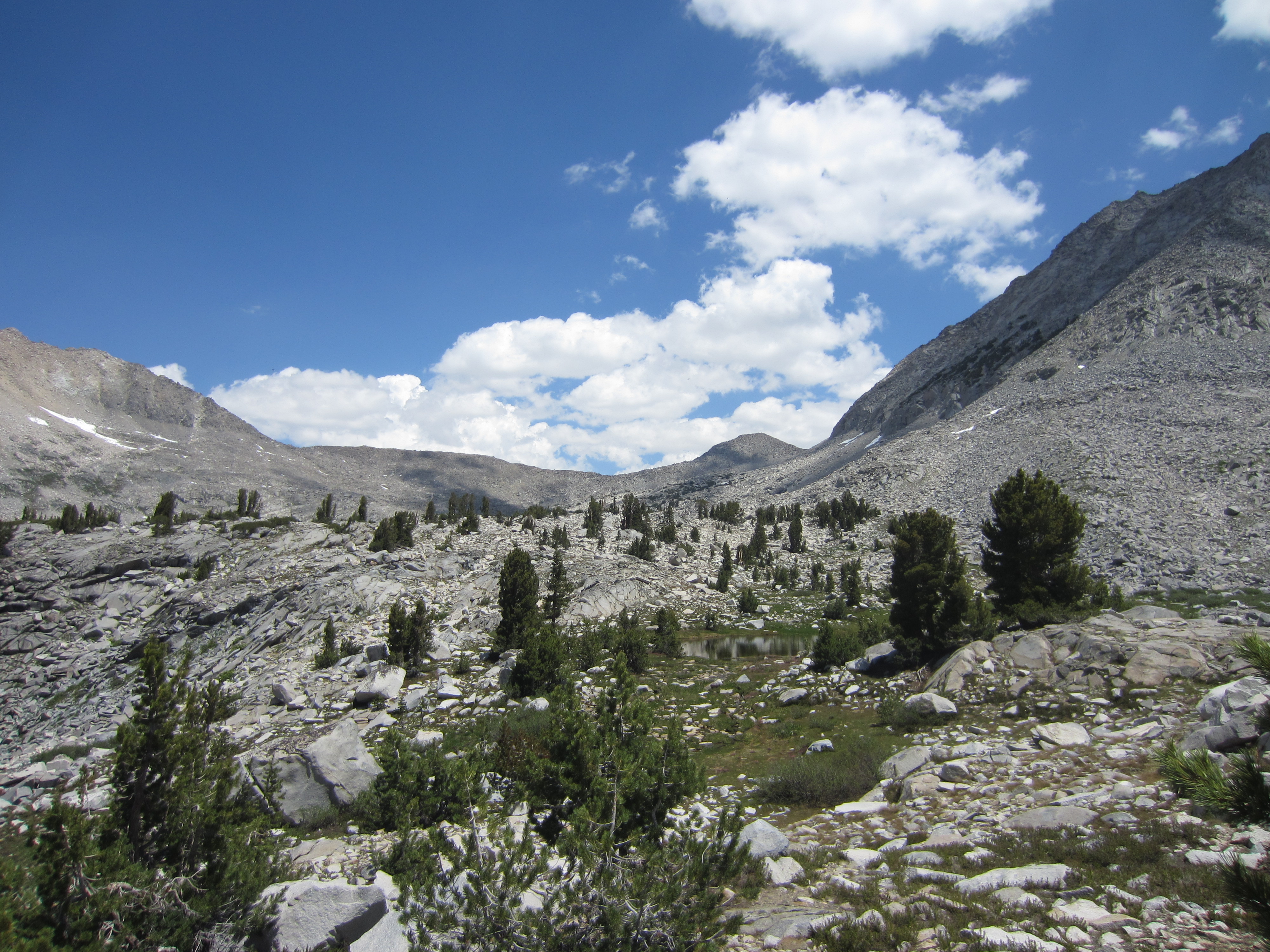
 Some small ponds as we approach treeline.
 Looking back down toward the lakes that live in the timber.

 More ponds.
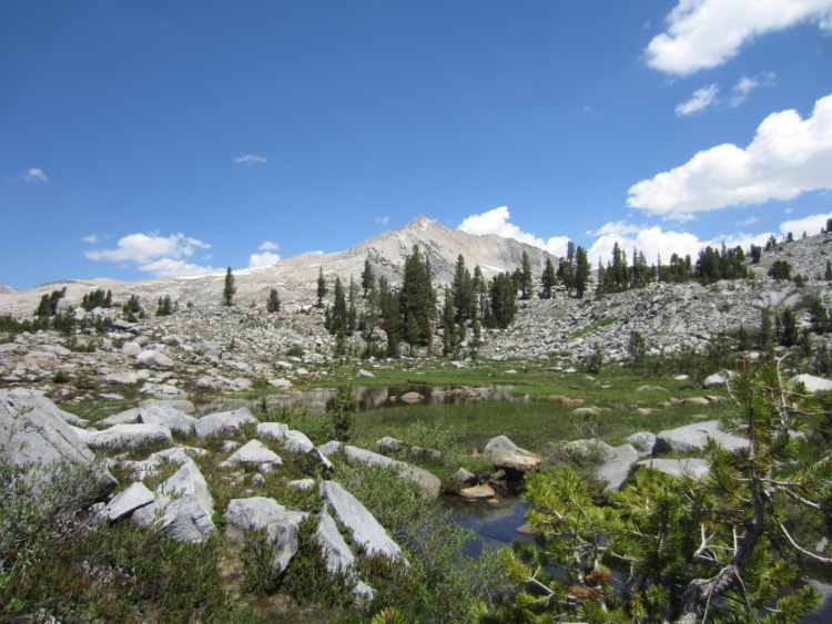
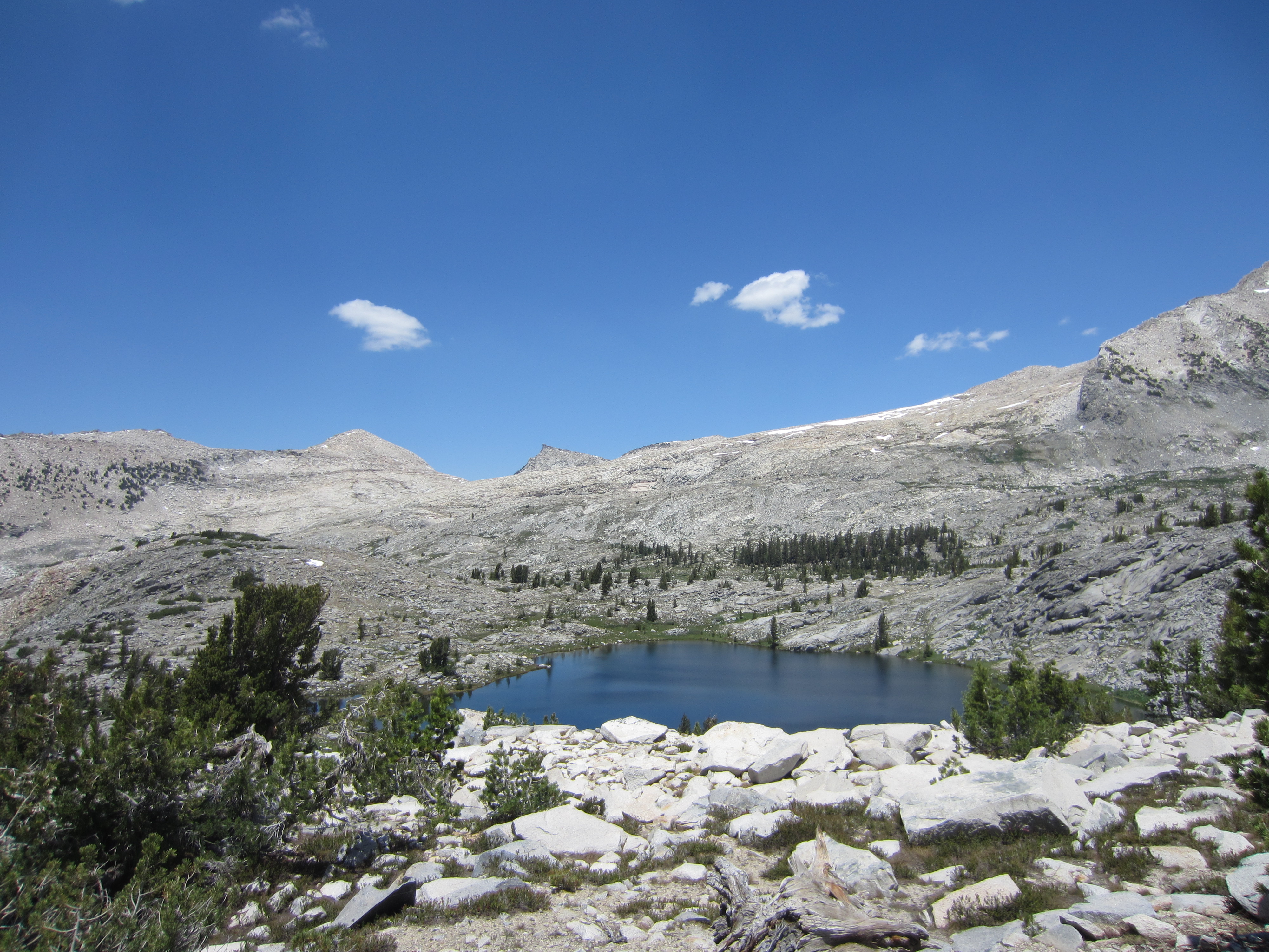
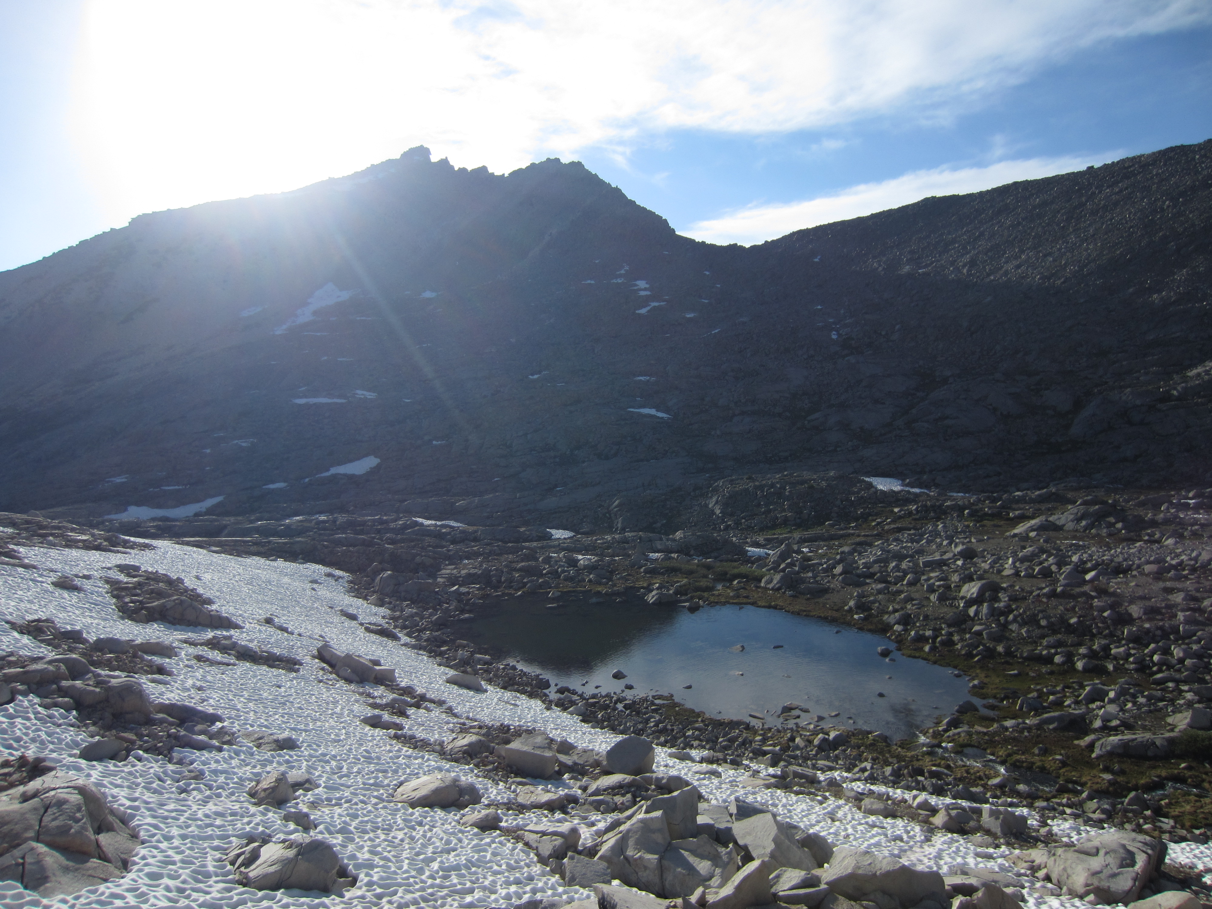
 Another lake. This basin is full of lakes!
 A lake in the distance. We didn’t get to this one. It was too far out of the way to get to on our hike up the canyon.
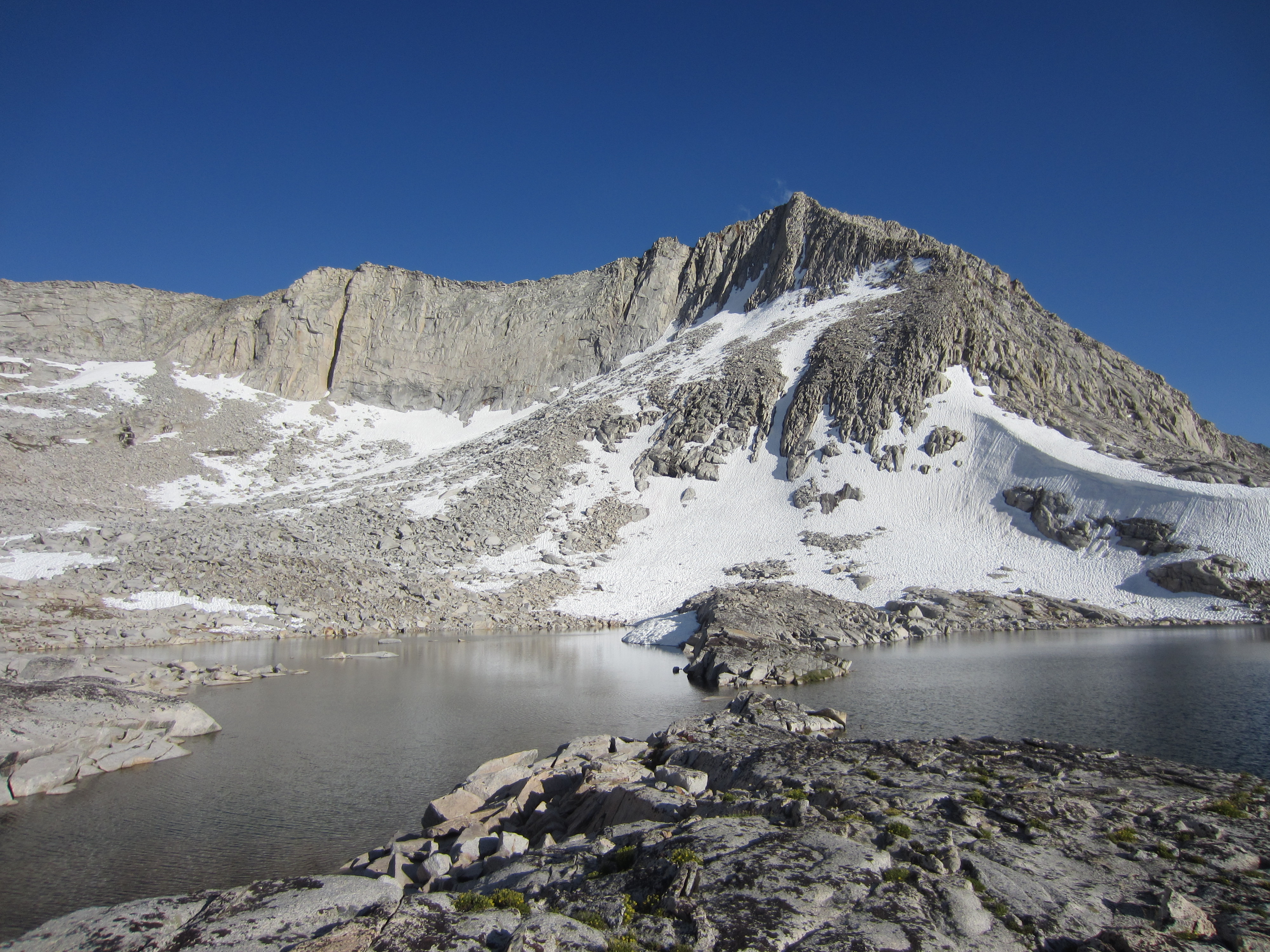
 Another lake comes into view with Finger Peak in the background.
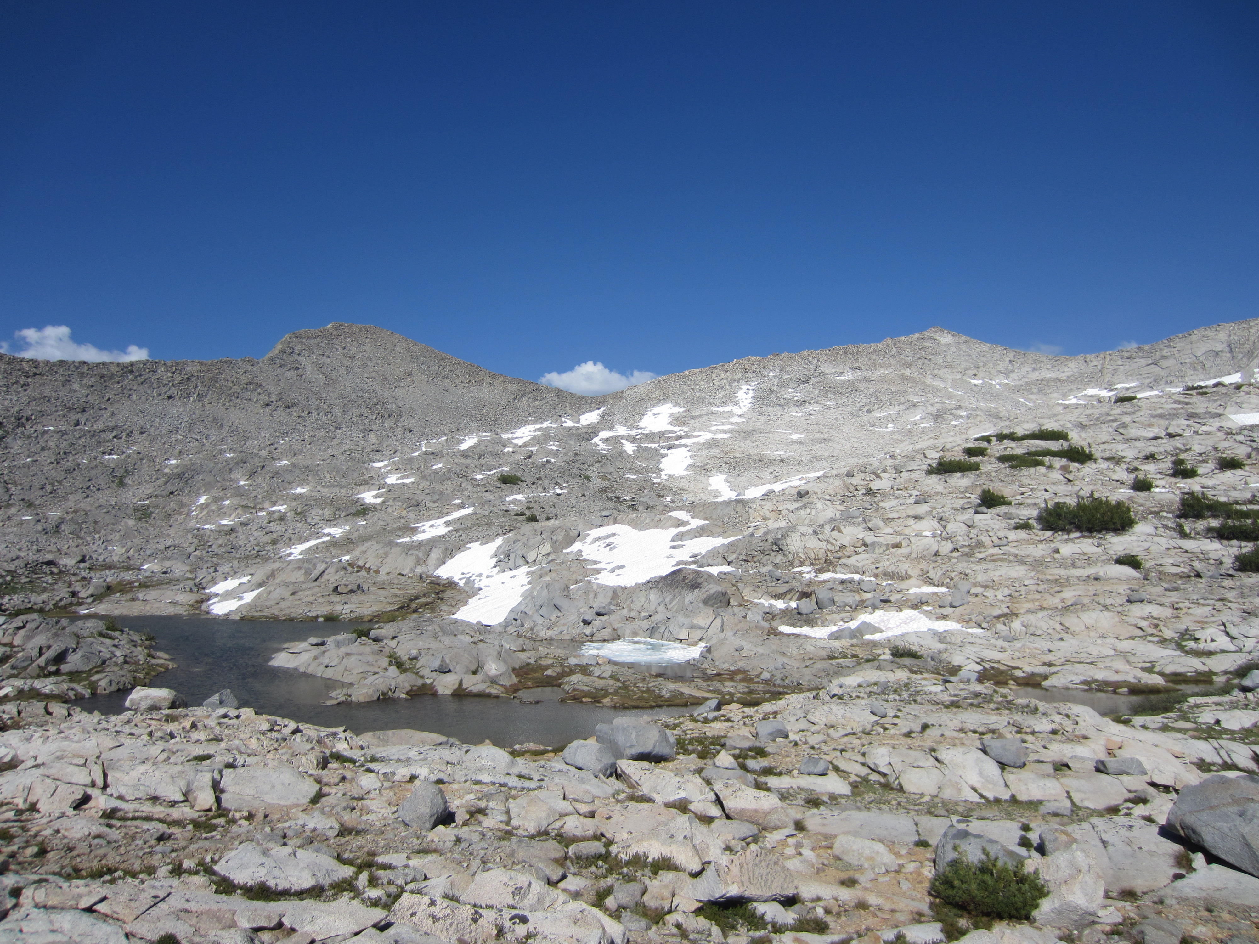
 Yet another lake.
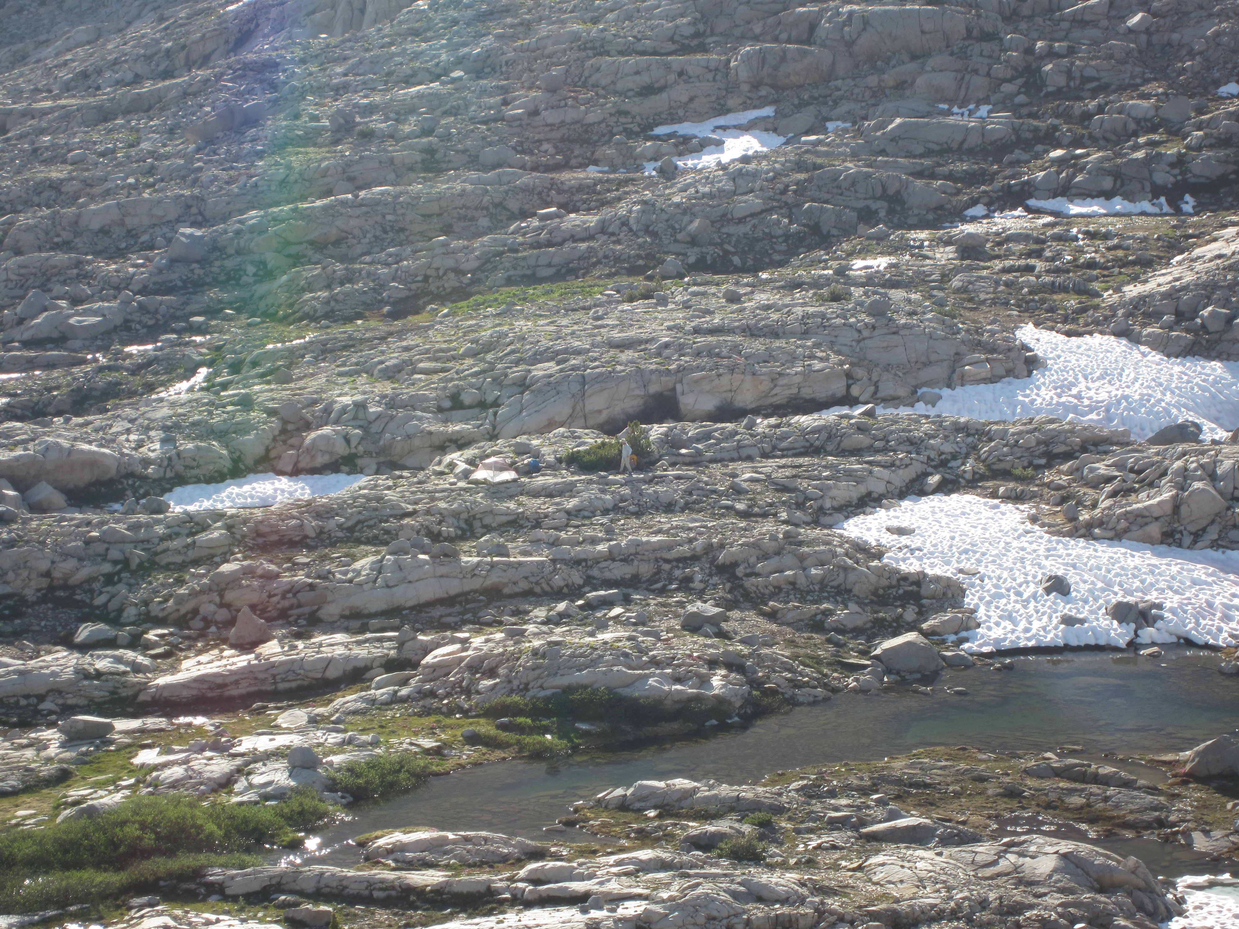
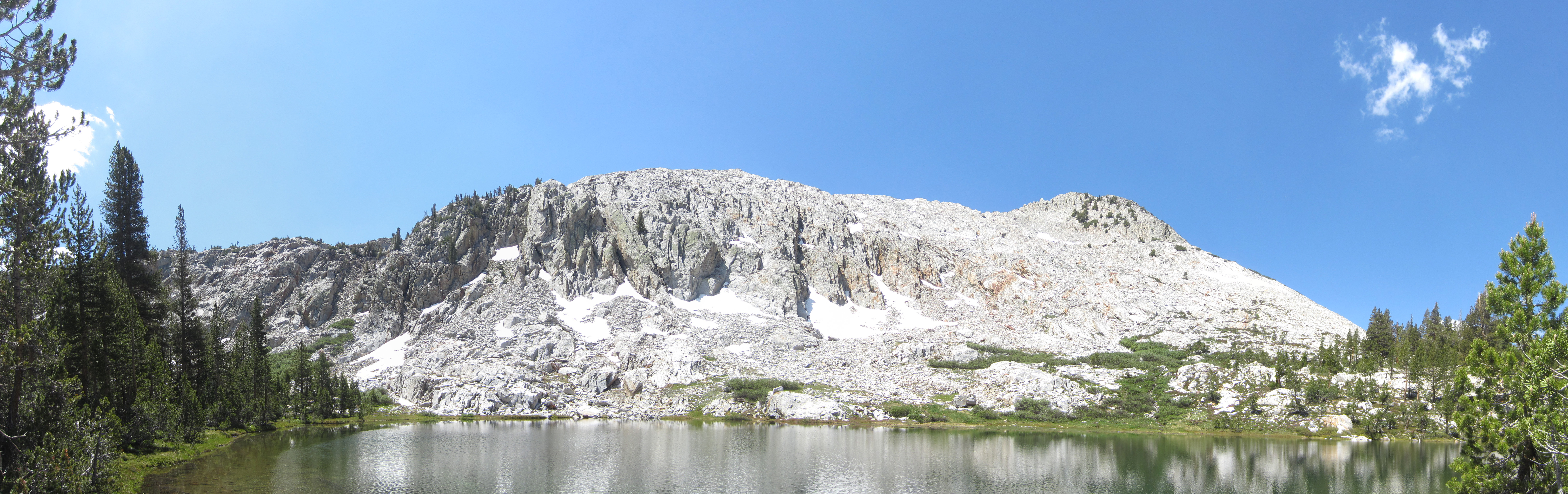
 Walking by another lake before getting to the lake we camped at for the night.


