 Tonight I went out with Mike for a ride through Mac Forest. We ended up at the top of Dimple Hill before bombing down Dan’s Trail. What a view!
Chip Ross, Dimple Hill, and McCulloch Peak in an Afternoon
This afternoon I went on what turned into a 15 mile hike from Chip Ross Park to Dimple Hill then onward to McCulloch Peak and finally terminating at Oak Creek when I ran out of light. Brent was kind enough to pick me up and take me back to my car. On the path between Chip Ross Park and Dimple Hill, I stumbled upon this rather large snake. No clue what species it is. The head didn’t look correct to be poisonous and there was no rattle. I still gave it a wide berth.
After reaching the top of Dimple Hill, I descended down the north face. This was the first time in a number of years that I had taken this route. It is still just as fun as the last time I did it.
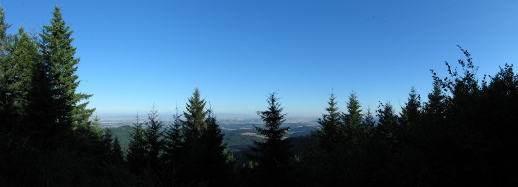
A panorama from partway down the trail. Click for a much larger version.
On top of the false summit of McCulloch Peak. There is a gravel quarry operation just below me.
The real summit of McCulloch Peak. After taking this, I ran down the mountain to Oak Creek where Brent came and collected me. 15 miles in four hours is quite good. Next time maybe I will continue onward to Fitton Green and end up at Bald Hill.
The Hills are Alive with the Sound of Corvallis
Yesterday I went on a hike from Chip Ross Park to Dimple Hill and back. The entire way, I used all of about 500 feet of the same trails. This photo is near the east entrance to Chip Ross, hiking up the grass-covered hills.
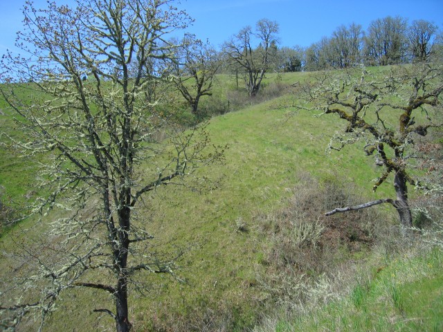
The oak trees in the middle of the frame are in a gully that bisects the large grass area of Chip Ross Park.
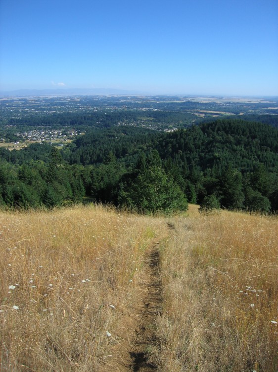
Corvallis down below.
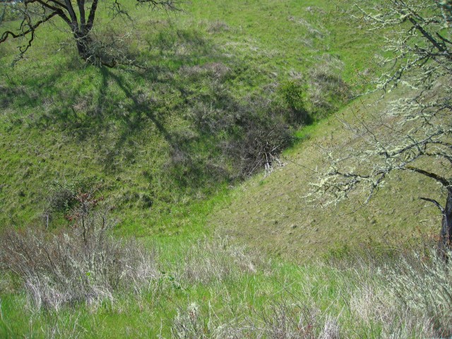
Looking into the ravine. There is a LOT of poison oak in the ravine and in the grass on either side of it.
The hillside is incredibly steep.
Walking along lower Dan’s Trail toward Dimple Hill.
Under the transmission lines.

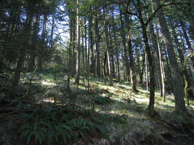
Along the road between Lewisburg Saddle and Dimple Hill.
On top of Dimple Hill looking south and a little west.
