South Sister Ascent to the Glacial Lake

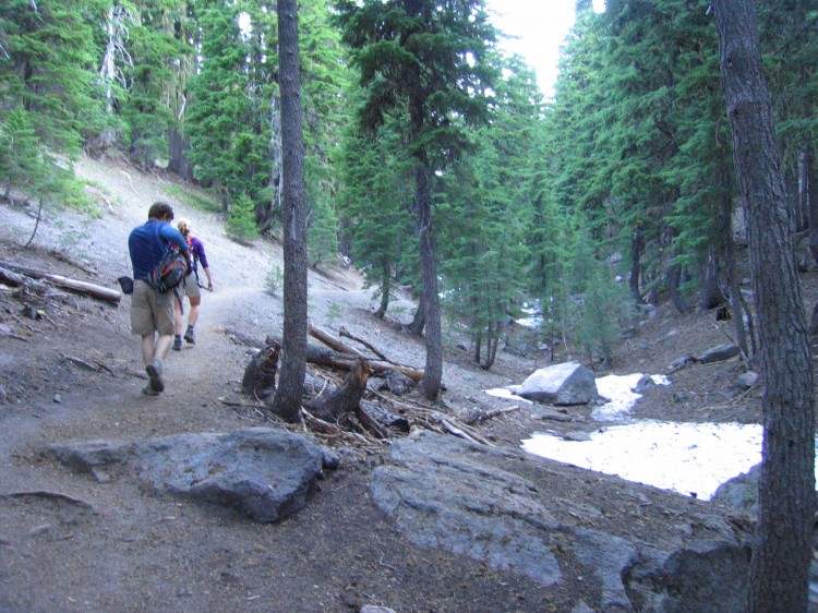
Sunday morning we headed out from the trail head at Devils Lake with the goal of reaching the summit of South Sister by about noon.  We started our ascent at 7:30am.  Sometime the night previous, Adam, Jen, and Tammy joined our encampment.  All of us struck up the trail together.  Even before we got to the first plateau, we were encountering snow in the ravines and gullies.

Our objective is sighted.

Moraine Lake and Mount Bachelor in the background.

Walking up the superhighway of a trail toward the summit.  It’s almost absurd how many people climb South Sister on a nice day.

Getting closer but still so far away.

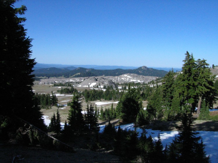
Coming off up the plain and now starting to ascend the south flank of South Sister.

Click through the image above to see the panorama in a larger size.

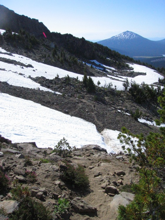
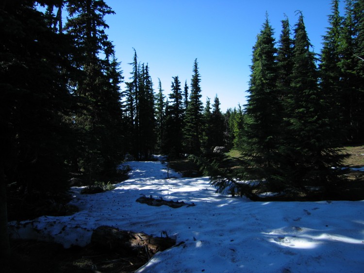
Lots of snow fields.  We crossed about four or so snow fields during the ascent.

Above treeline.  Broken Top is just visible on the left and Mount Bachelor is on the right.

Lots of snow for this late in the year.  Click on the image above to go to a larger version of the panorama.


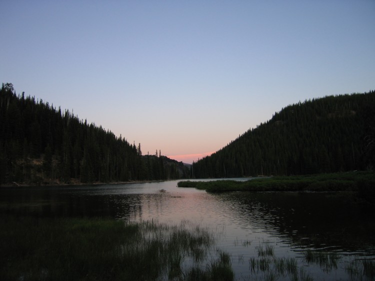
Devils Lake at Night

Last Saturday, Dmitri and I went out to Devils Lake to spend the night in preparation for our South Sister summit attempt.  Click through the image above for the full panorama effect.

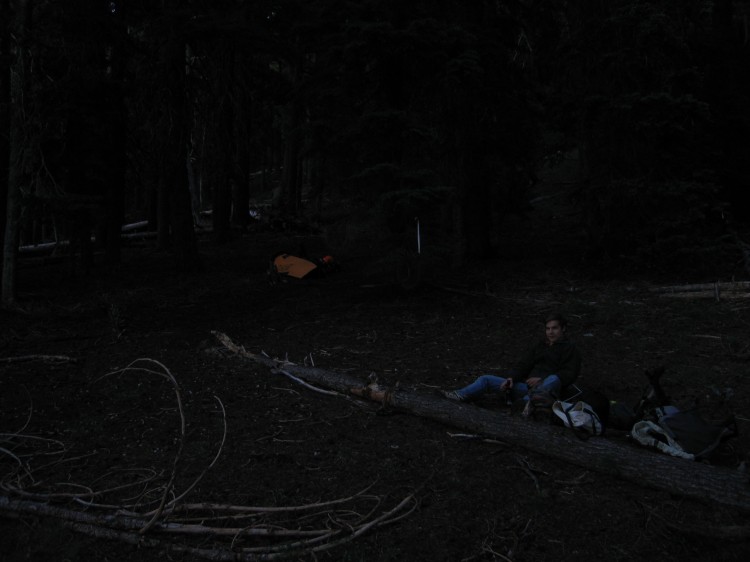
We setup our camp in the woods across the road from the trail head.  The main campground was already full and we didn’t feel like being around so many people anyway.

There was a creek just below our camp.

I don’t think anyone will be camping in the lake.

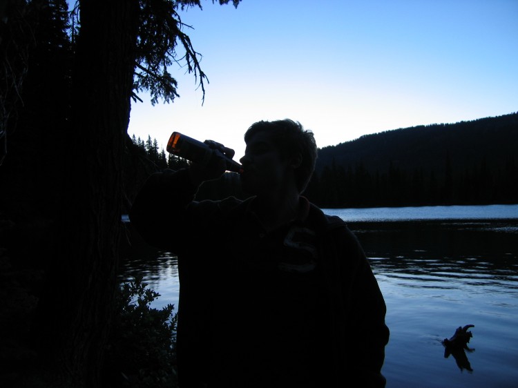
Dmitri drinking a beerski.

A 360 degree panorama from the top of a lava flow near Devils Lake.  Mount Bachelor is to the right of center with snow on the top.  The fading rays of light on the far left side of the photo are in the direction of Devils Lake.


Dmitri and me up on the lava flow.  I climbed up there wearing flipflops while Dmitri had proper shoes.  It’s impressive that I didn’t slice my feet open on those rocks.


My bivy sack setup.  The air was very dry at Devils Lake.  No condensation on the inside this time.  I used some sticks to prop up the tie-down ropes a bit.  That seemed to help, too.


Maxwell Butte

As part of our Twin Lakes overnight llama hike, Dmitri and I ran up to the top of Maxwell Butte, a 6,225 ft tall volcanic plug on the south end of the Mount Jefferson Wilderness.  There was quite a bit of snow on parts of the trail on the way up.


On the ascent, we got some great views of Mount Washington, North Sister, Middle or South Sister, Broken Top, and another mountain to the south.  A little in front of the mountains you can see the butte where Hoodoo Ski Resort is located.

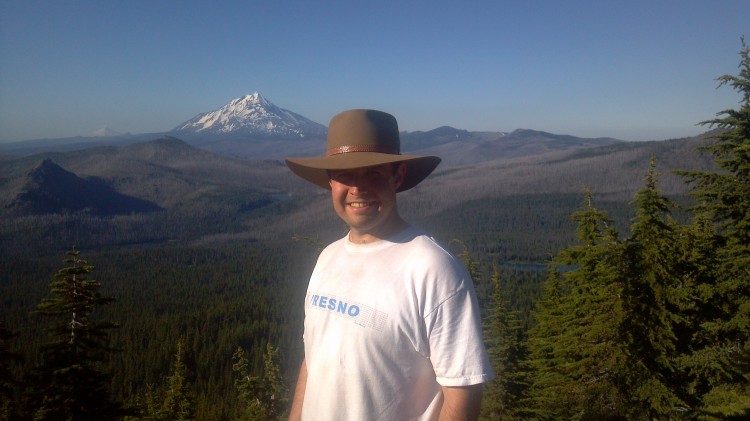
That’s Mount Jefferson to the north and a little to the left is Mount Hood.

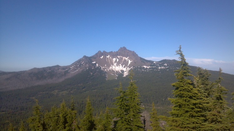
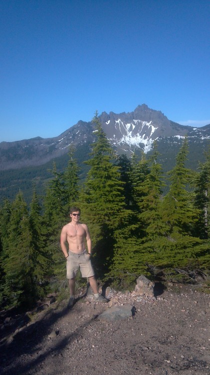
Three Finger Jack to the east.

Dmitri decided he needed a good beefcake shot.

Howdy, y’all.

 The geological survey benchmark set in 1928.  I’m pretty sure the fine is much higher now.

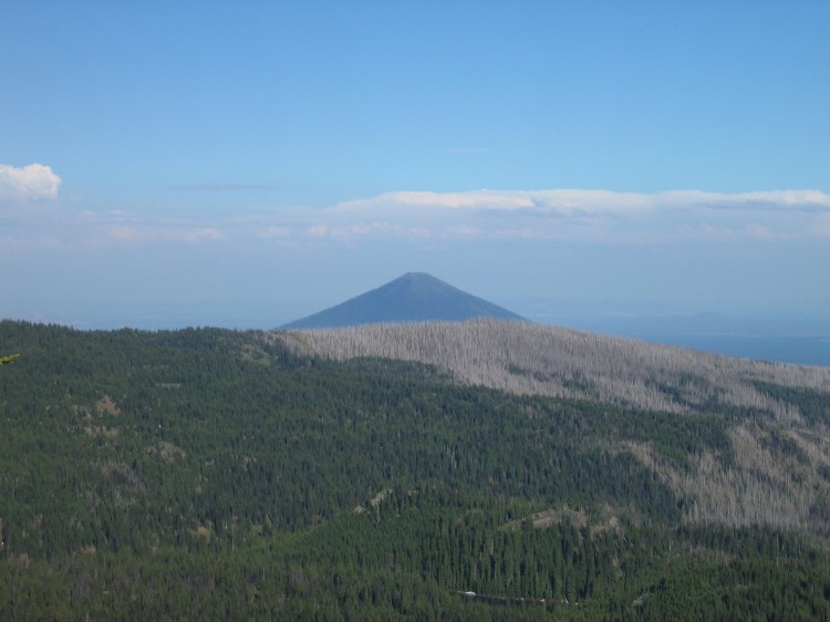
 Black Butte in the distance.

 A panorama at the top of Maxwell Butte.  Click on it for a larger version.