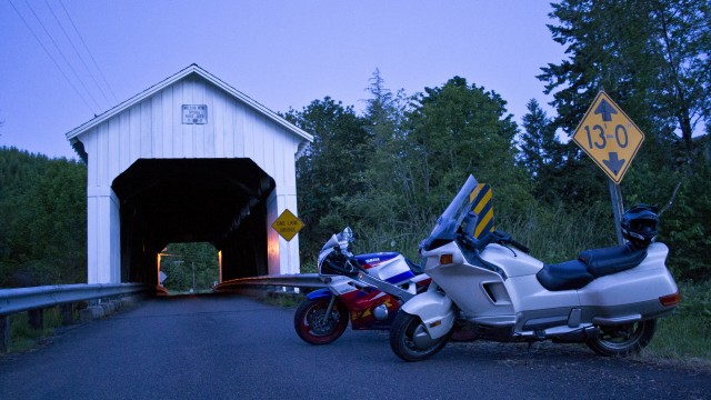
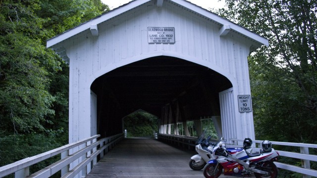
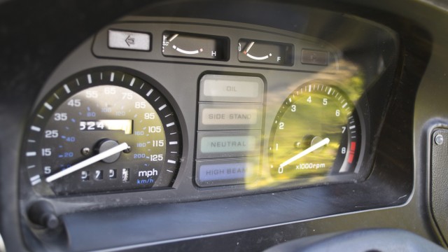
Yesterday evening, Drew and I set off on an epic 168 mile adventure through the coastal mountains and western valley between Corvallis and Venita. Our goal was to photograph the Deadwood Covered Bridge and Nelson Mountain (also called Lake Creek) Covered Bridge. The mission was a success with some high adventure.
Deciding to try out a new road, we went down High Pass Road just north of Cheshire to try and take the long way to Highway 36. About 15 miles down the road, what our map had marked as paved turned to deep gravel. We turned around rather than risk a sport tourer and sport bike on gravel roads so early in the evening. That cost us valuable time which would later come back to haunt some forlorn forest roads.
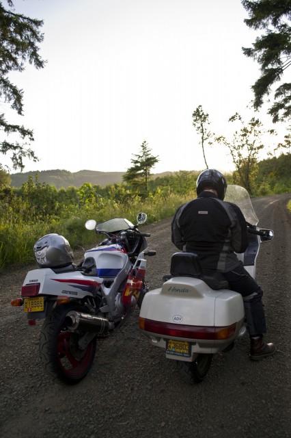
Trying to figure out if the road turns back to pavement or not. We finally turned around rather than risk ten miles of gravel on road bikes.
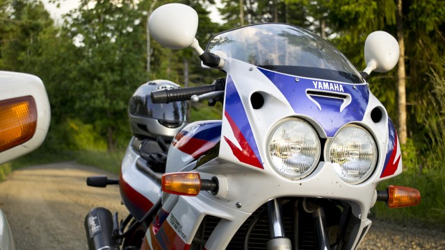
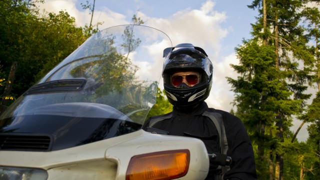
Finally on Highway 36, we cruised around Triangle Lake. Drew can attest to how much fun this road is. Nothing but smiles the whole way. We reached Deadwood shortly after the sun had sunk below the western mountains. After issuing a warning to Drew to watch out for hillbillies, we headed up the road toward Alpha. The
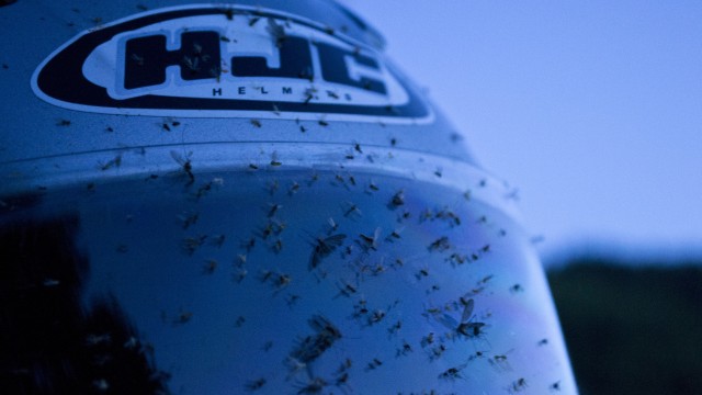
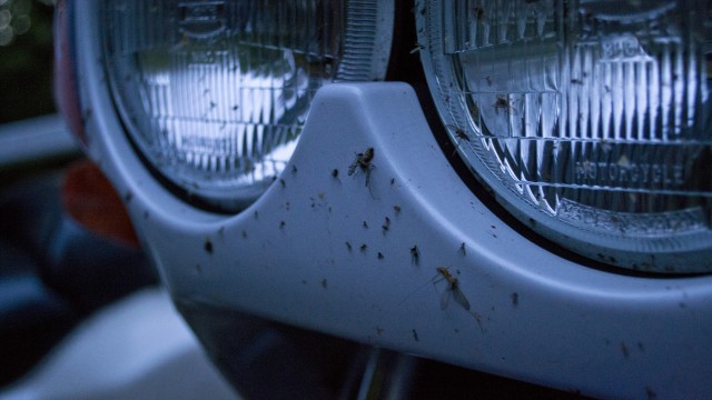
Deadwood Covered Bridge was found not long after. Along the way we also killed what must have been about a half million gnats rising up off the creek.
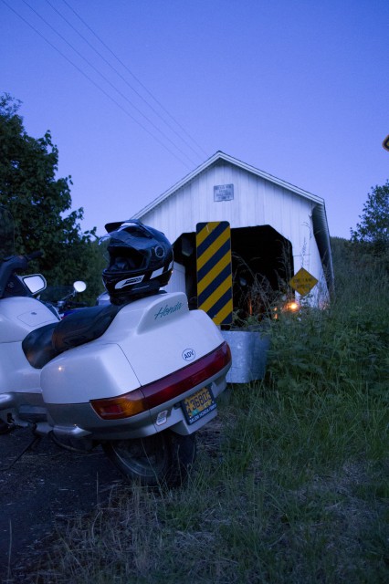
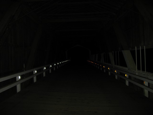
The next stop was the Lake Creek Covered Bridge (otherwise known as the Nelson Mountain Covered Bridge). It was dusk by the time we reached it and got our photos. Looking at the map, we decided to take Nelson Mountain Road. Again, the map showed it was paved. Again, the road was not. Once it went into BLM land, the pavement gave out and a packed dirt road with some gravel materialized. We rode on through tight twists up and over Nelson Mountain. Ten miles later, we popped out on Highway 126 and were able to find our way to Poodle Creek Road.
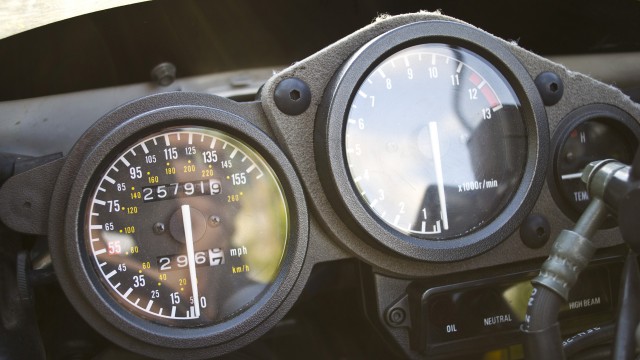
Roaring through Cheshire, we pointed our bikes in the direction of Junction City and a much needed fuel stop. I had gone 168.1 miles since the last fill-up at Brownsville. I took on 3.736 gallons which is pretty close to my 4.2 gallon total capacity. My fuel economy worked out to almost exactly 45 mpg which isn’t bad considering the riding I did on that tank.
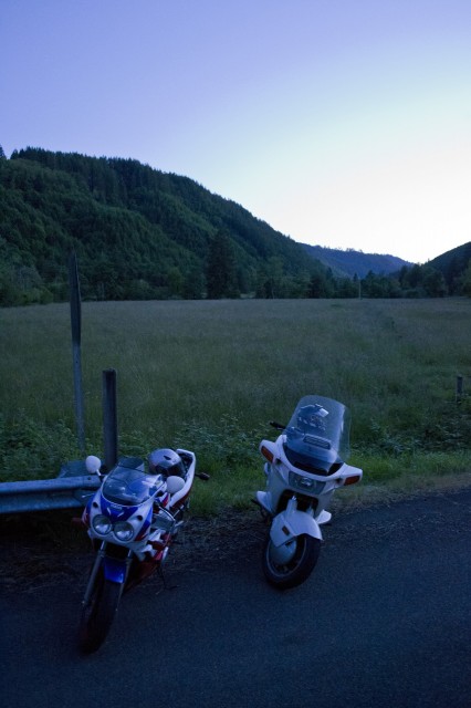
The northward ride up 99W through Monroe placed the full moon directly behind us. Near the Grange Hall south of Corvallis, we found a gravel farm access road to use to take some photos of our bikes. The full moon made for difficult photography toward the south. But looking north was incredible. After our photo shoot, we split up in South Town and both headed to our separate abodes. In total, we were out riding from about 6:30pm to about 12:30am. It was quite the ride.
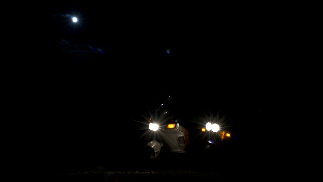
Bikes in the night.

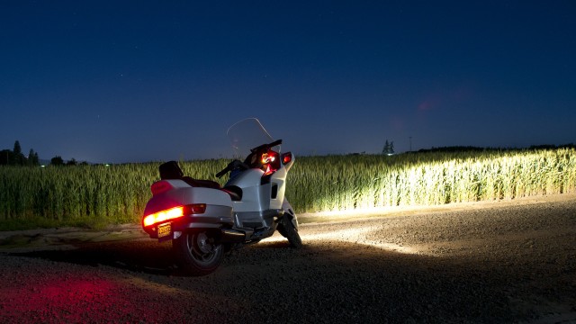
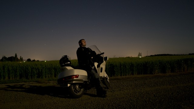
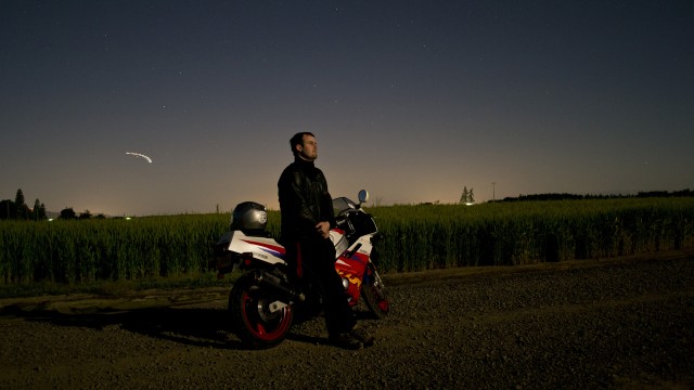
The streak of light is an airplane flying over Corvallis.
Route Map [maptype=G_HYBRID_MAP;gpxview=all]
