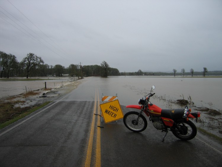
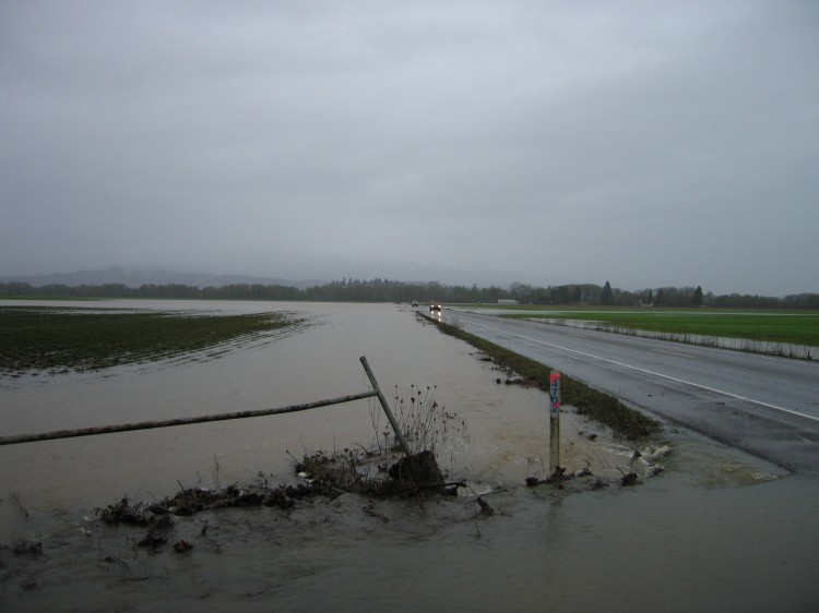
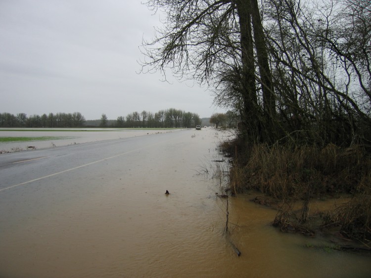
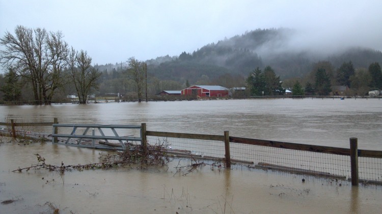
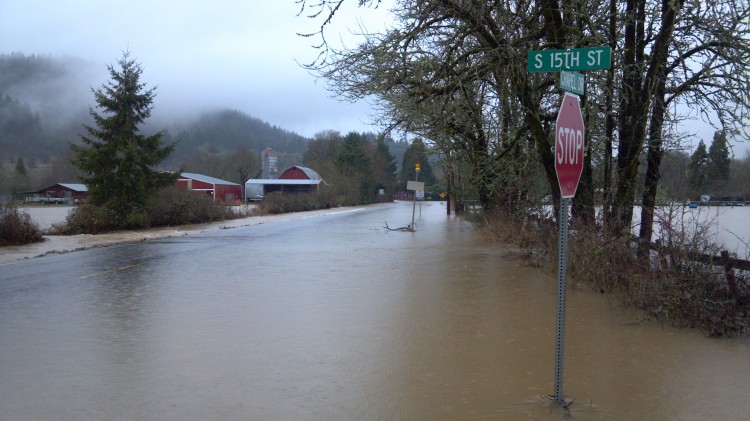
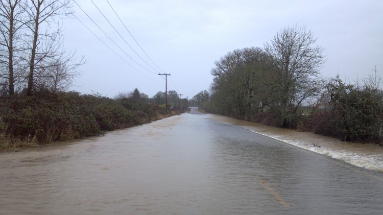
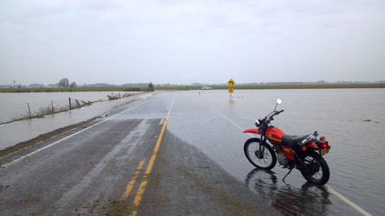
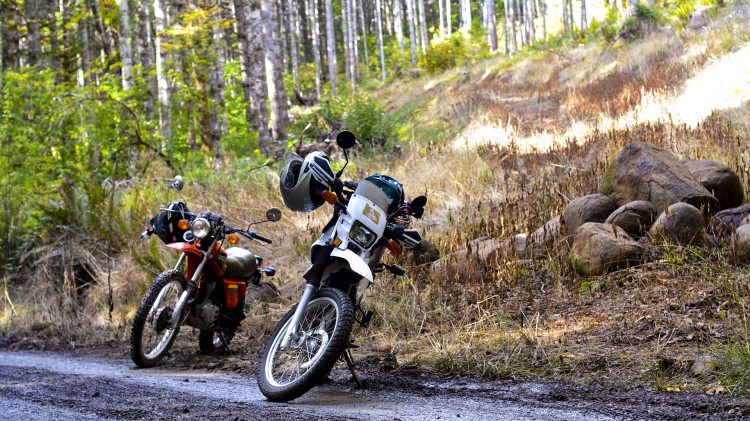
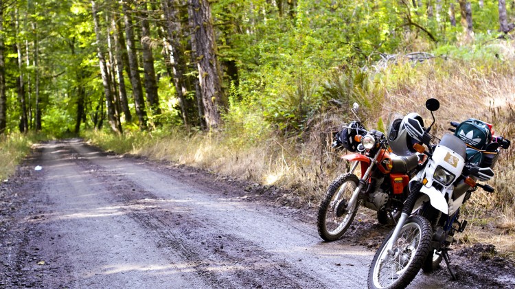
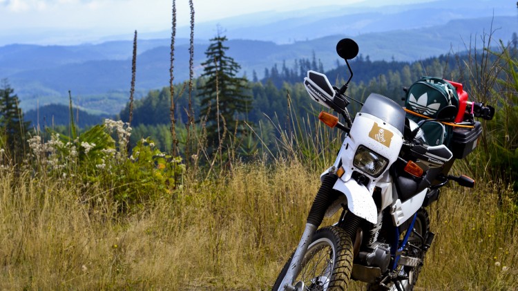
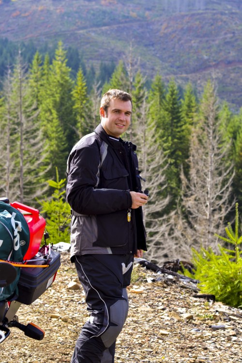
Today I went out on the Gangly Giraffe to look at the flooding caused by the Marys River between Philomath and Corvallis. The video above has highlights of the whole trip including fording the various flooded roads. Below are photos of those roads.
At 53rd south of the bridge over the Marys River. The water had gone down significantly since yesterday.
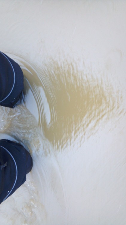
I walked out a ways to see if I could ride through the water. I thought I could but then changed my mind halfway across when it suddenly got much deeper and more swift.
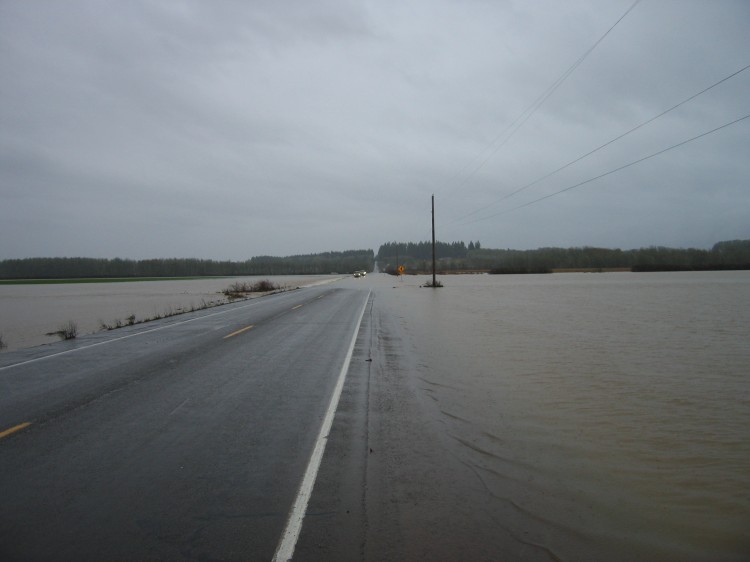
On Belfountain Highway.
Lots of cars going very slow through here. This was flooded out yesterday to the point no one could get through.
Cars taking it slow.
The field turned into a river.
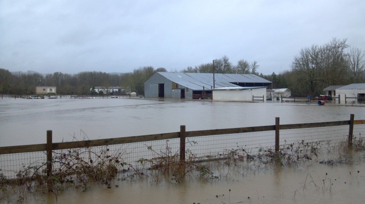
At Llewellyn Road. The water was too deep and swift for even big trucks to get through.
Yesterday the road was overtopped the whole way along.
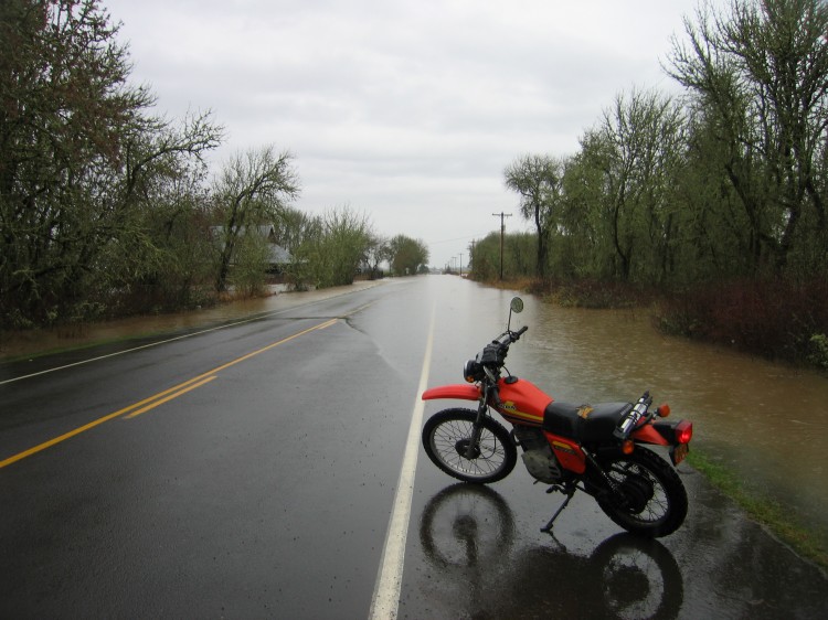
At 15th and Chapel Drive in Philomath. Yesterday my bike would have been underwater.
No one will be going through here for a few days.
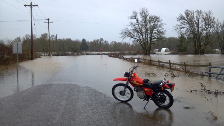
Pretty deep. I decided to go around the water.
Out on Airport Road.
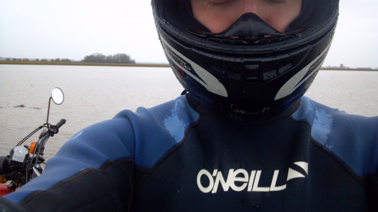
Underneath my summer mesh riding gear I had a full wetsuit to keep warm in the water. I also was wearing heavy rubber diving boots. It worked well to keep me warm even going through deep water. Before my next sojourn through flooded roads, I need to reconfigure the air intake on my bike so that it is not at as much risk of sucking water into the engine. The spray from the front tire above about 7 mph directly hits the air intake area.
