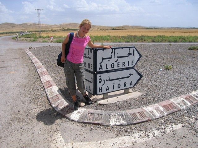
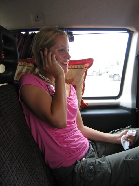
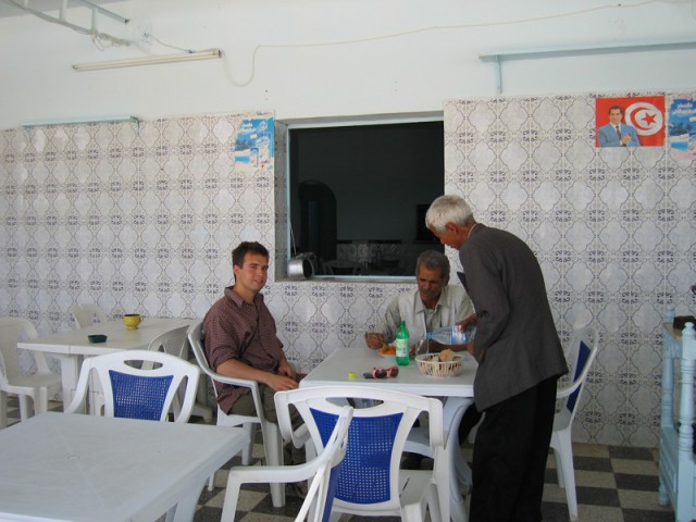
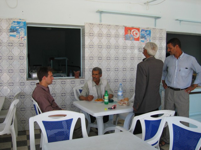
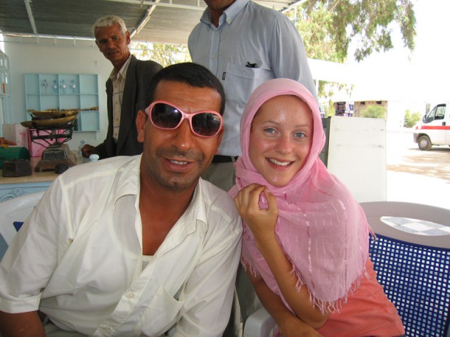
One fine Saturday I woke up at 4am and walked down the hill my house was perched on about 2 kilometers to the long-distance shared taxi station for the north and west of the country. I met my friend Francesca there. She’s from Oxford and speaks with a proper Oxford BBC accent. She majored in French Literature and is wrapping up a year worth of teaching English in Tunisia. As always, she was outfitted with a pink shirt and some Capri pants — this particular day in a military theme.
We found a shared taxi (louage) heading for Le Kef and hopped in. About three hours later we arrived in Le Kef (“the rock” in Arabic) about 40 kilometers from the Algerian border. We then found another louage heading for Tajarouine about 70 km farther south along the border. In this town we saw some really cool storks’ nests on top of the main mosque’s minaret. I took a couple of photos. Francesca got some coffee while I secured seats in the next louage. We had to wait for a while before the van filled up. The farther out into the countryside you get the longer you have to wait for transport. Our next destination was Khallat en Seina about 10 km from the Algerian border
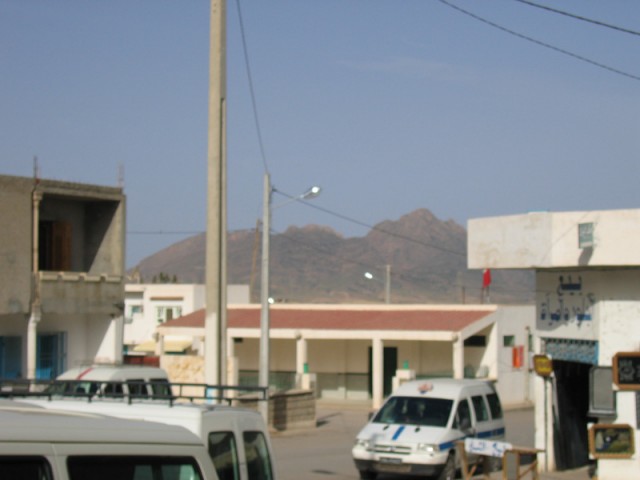
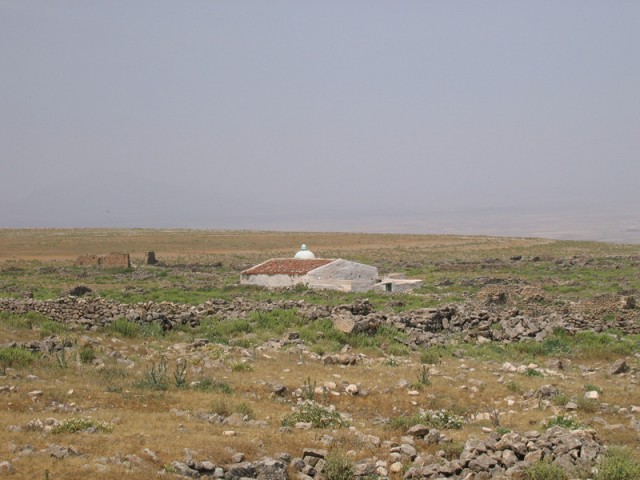
Our first view of our final destination from Tajarouine.
In Khallat en Seina we walked up to the National Guard office to register our passports. This close to the border and in this small of a town such things are required — especially for what we were there to do. The first guy we talked to in the office spoke very good French. Francesca communicated with him. He took us to another office down the street where we waited about 10 minutes for his superior to come. This guy spoke almost no French but a lot of English. Very strange! He asked us if we had come with a tourist company. We told him no. He said to wait for a minute. He called up a friend of his who lives in a village about 10 km away who happened to be in town with his little put-put pickup truck. It was about a 1960 Renault pickup. Francesca, I, and the driver all piled in and we were off to his village. It was decided by the National Guard we’d pay 5 dinars for his services. At the village he found the site guardian for the site of our objective. This guy spoke no French and only a very heavily dialected Arabic that was more close to Algerian Arabic than Tunisian.
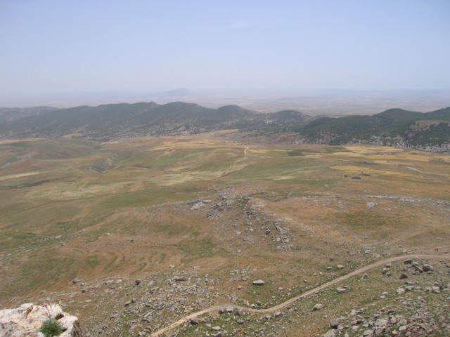
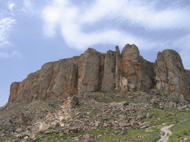
We came to this little village (Ain Senna, the well of senna) in the middle of nowhere on the Algerian frontier to climb a mountain called Jugurta’s Table, the last fortress of the Numidian king Jugurta in his long battle with the Romans. The mountain resembles a mesa with a large flat top and several hundred feet of sheer cliffs on all sides. There is only one approach to the mountain and only one way up — now guarded by a Byzantine era fortified gate. All around the base of the table there are rings of stone outlining former buildings from the Roman siege of the table and the later occupation by both Roman and Byzantine forces. There is still some evidence of a Roman road leading to the foot of the mountain.
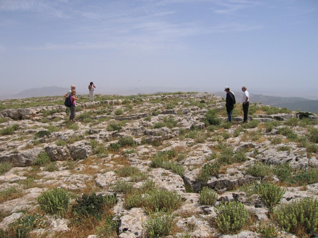
We climbed up the steep steps cut into the living rock well worn with age. On top a tilted world unfolded. About one third of the top was covered with ruins of Numidian, Roman, Byzantine, and more recent construction. In the middle of it all there was a Marabout, the resting place for a holy man in the Sufist branch of Islam. We walked through the ruins to the Marabout. The guardian led us inside and showed us the tombs of two separate holy men that were arranged side by side. Nowhere else in Tunisia will they let non-Muslims inside a Marabout or mosque for that matter. He showed us where he sleeps every night to one side of the tombs. On special occasions the whole village comes up to have a feast and festival honoring their holy men.
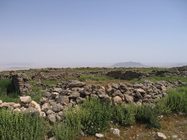
Roman ruins on top of the table.
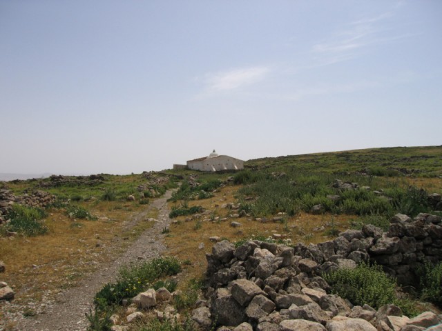
The marabout.
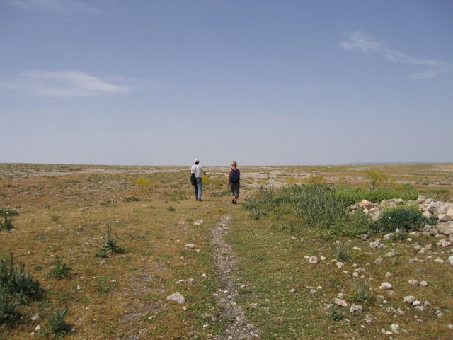
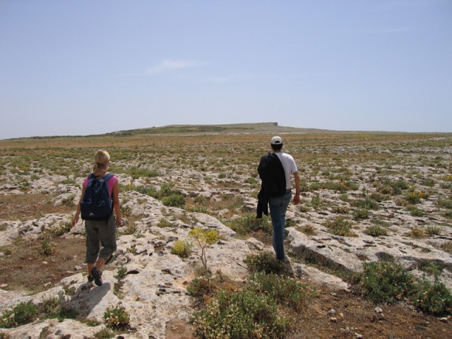
Our guide and Francesca walking off across the table.
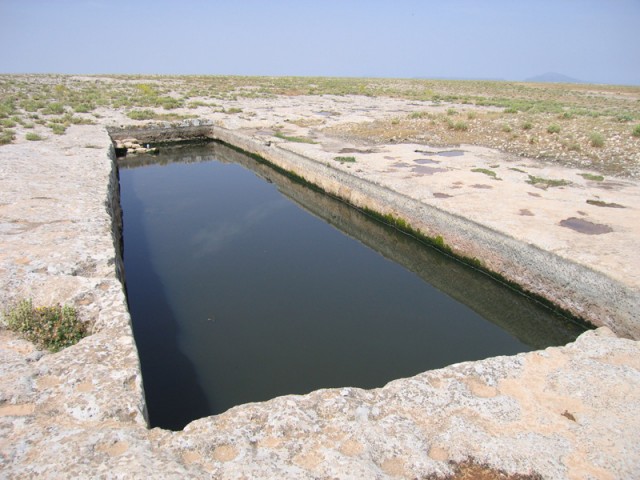
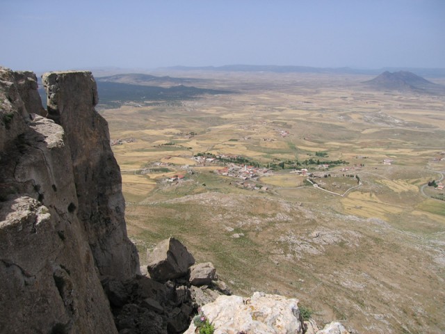
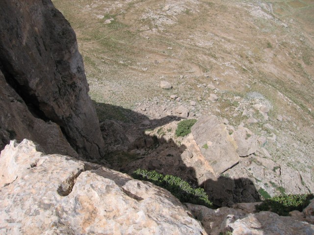
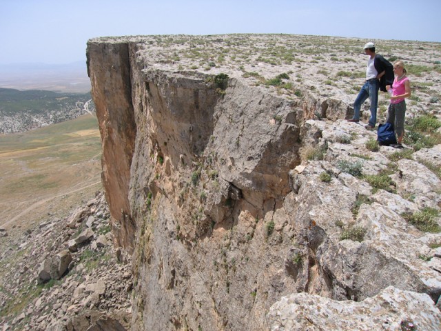
From the Marabout we walked toward the west to observe some interesting rectangular cisterns cut in the rock. They were leftovers from the Numidians and the Roman siege of the mountain. There is no naturally occuring source of water on this rock. Farther along we came to the edge of the mountain. It was about a 250 meter sheer vertical drop. I got some good pictures peering over the edge. As we walked back toward the marabout we could see three people off in the distance on the other side of the mountaintop. We walked in that direction to see the other end of the mountain and to discover these three mysterious peoples identity. At the highest and most easterly jutting protrusion of the mountain we met three german tourists on holiday that randomly were on top of the mountain. Francesca spoke to them in French and I translated into Arabic for the site guard. He said it was the first time two groups of visitors were on the top at the same time in a very long time.
Numidian cisterns. It appears originally they were covered.
Looking toward Algeria.
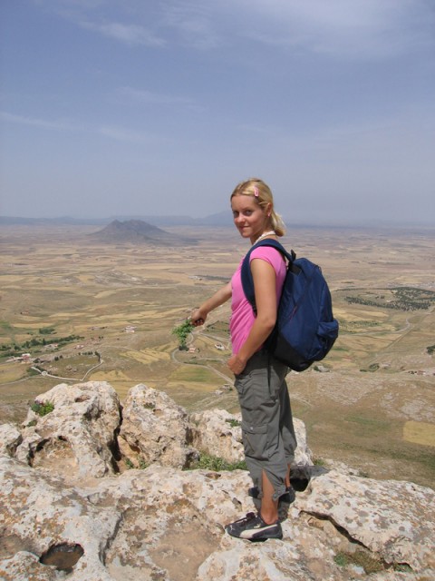
Francesca with some wild mint.
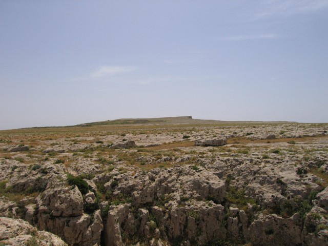
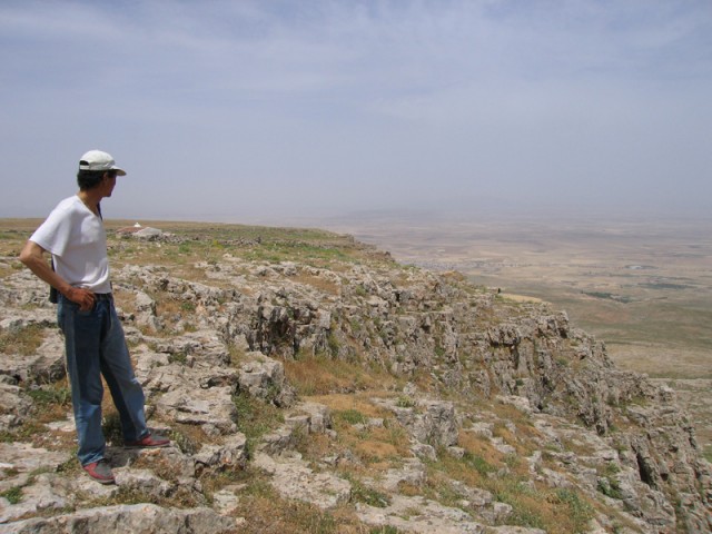
Looking across the table toward the east.
It’s a very long way down. This would be a good place for base jumping or hang gliding.
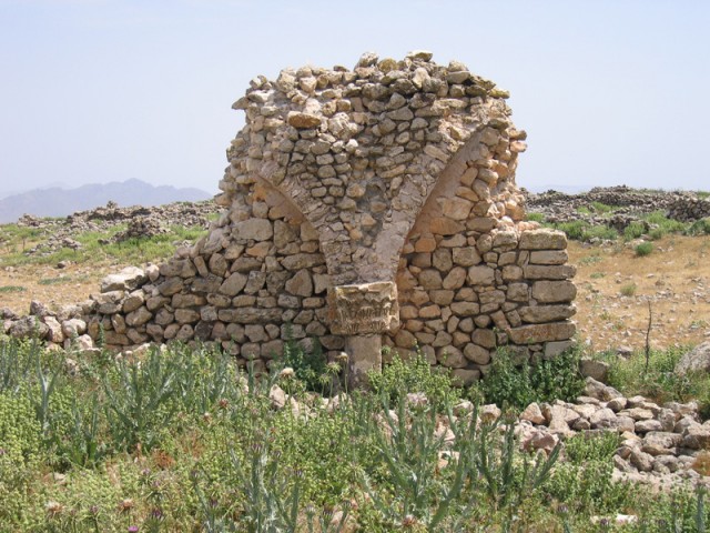
The ruins of another Marabout. The site guardian explained to us that the holy man who had been entombed here was moved to the other Marabout. Generally, one holy man to every Marabout, but in this case, you get two for the price of one! Notice the Roman column incorporated into the structure.
Looking to the east.
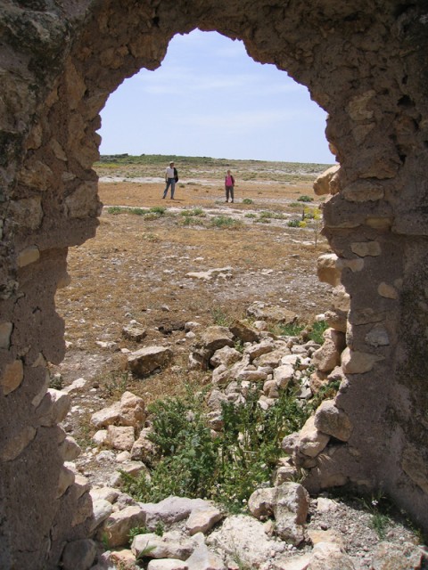
We meet the German tourists.
The Marabout in the distance.
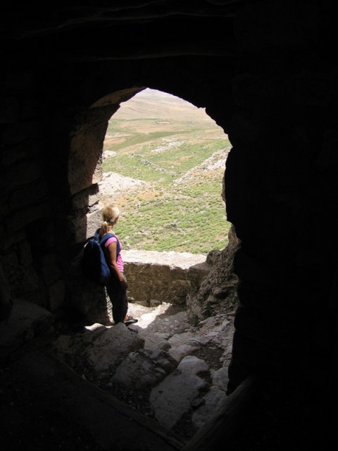
Before we went down off the mountain we examined a series of man-made caves near the stairs. It appeared that they were originally carved in pre-Numidian times to be used as funerary chambers then later reused during the siege to store grain and finally reused again during the Roman and Byzantine times as a necropolis of sorts. Now they’re being used for nothing. The guardian said that they extend throughout the entire mountain. I went a few feet into one and couldn’t see the end of it. A bit spooky!
The gate to Jugurta’s Table.
Looking up at the mountain.
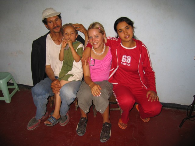
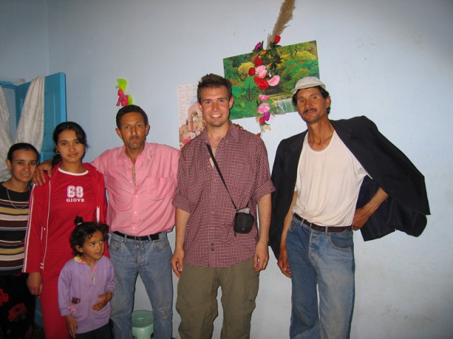
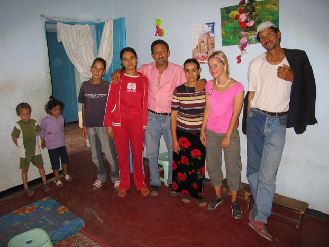
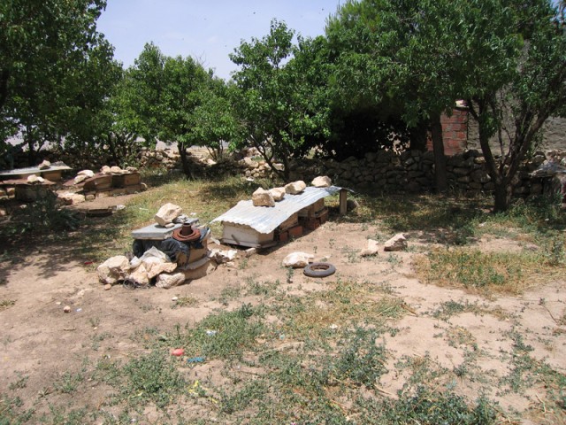
Down at the base of the mountain we met up with the driver of the little pickup. He invited us to his place (in Arabic, as he barely spoke French) to have some lunch with his family. We all trucked on over to his house and sat down in his living room to have a meal of fresh honey comb, home made butter, and freshly picked apricots. It was all delicious. The eldest daughter, which actually wasn’t his daughter but a niece or a friend’s daughter spoke very good French. The family situation wasn’t exactly clear as there was a wife, two men, an old woman, a daughter at about 18, a son at about 12, and a son and daughter at around 5 plus another son in Tunis working. We feasted on this hearty lunch, talked with the family and looked at each others photo albums, then finally took our leave. On the way out they showed us their extensive bee hives and apricot tree. The cow was down the street.

Francesca feasting on Honey, Butter, and Apricots while watching the latest hits out of Lebanon on the Lebanese version of MTV.
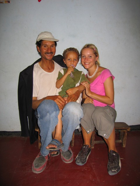
The site guard, one of the children and Francesca.
The family, minus grandma.
The bee hives.
The apricot trees.
Back down in town we checked out with the National Guard, said our goodbyes to the put-put truck driver, and went down to the louage station. The two of us and two other people waiting in the louage decided to buy out the remaining seats (only an extra dinar or two a piece) so we could get into Tajaouine quicker.
In Tajaouine we found a louage headed for Kalaat Kasba. While we waited an either very drunk man or insane man came over and gave us each a piece of a half eaten donut. I left mine laying on a chair while Francesca ate up her bit. She’s a little odd like that at times. By this point I was also speaking in an oxford accent. We had to wait a bit for another louage to take us to Thala, a town about 50 km farther south. I guess that musical training comes in handy for some things.
Francesca eyes the road to Algeria.
On the ride down to Thala I sat next to a guy holding some tiles. It turns out he spoke some English. He was visiting a tile factory and had picked up the tiles for his shop down in Thala. In Thala he invited us into his shop, gave us free water and coke and helped us find the next louage to Kasserine, another 70 or so km farther south. He was very nice and was very happy to speak English with someone. He said we were the first English speaking people to come through in a very long time. Of course I had been in Thala only a few months before with Xiyun but I didn’t run into him then. Also back then it was snowing. This time it was threatening to rain from some major thunderstorms that were approaching.
The ride to Kasserine was uneventful. In Kasserine we found a louage headed to Gafsa but we were the only ones in it. We ended up having to wait about an hour to get enough people to be able to buy out the remaining empty seats. During that hour the heavens opened up and pounded us with an intense thunderstorm throwing bolts of lightning all around the louage station. One hit about 200 feet away from us at one point. It also poured rain.
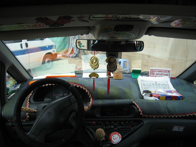
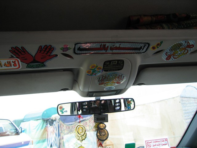
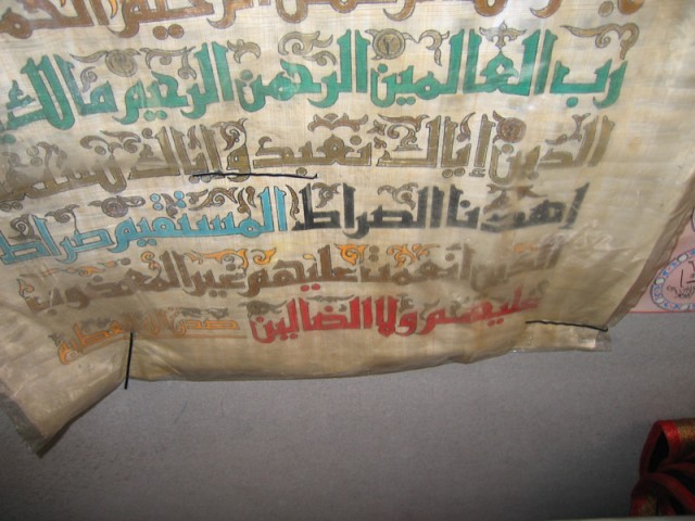
Waiting inside the louage in Kasserine. Notice all of the religious things plastered to the inside of the vehicle to provide protection to the occupants. It seems to work. I survived many a louage trip in Tunisia none the worse for wear.
Standing under a tent in the storm with the louage driver waiting for some more passengers.
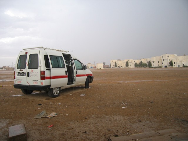
The last louage out of Kasserine.
On the way to Gafsa we encountered a major wreck on the highway. Most highways in Tunisia are a single lane in each direction with something of a stripe painted down the middle. This highway was no different. One of those little put-put trucks and a very large semi-truck hauling rock had a head-on. There wasn’t anything left of the cab of the put-put truck. At least three people and possibly more died instantly in that vehicle. The driver of the semi somehow survived and was being questioned by police as we passed. It happened about 30 minutes before we got there. There weren’t any bodies left to bury of the put-put driver and passengers. They’d have to bury the whole truck. One of the other passengers in the louage got out and found out some details. The put-put driver had been drunk and had his entire family with him. He swerved at the last second into the oncoming semi estimated to be going about 140kmph. There was nothing anyone could do.
In Gafsa we pulled into the Louage station and looked around for a louage to Tozeur, a town about 100 km farther south. None were to be had but there was a bus scheduled to stop in Gafsa in about 15 minutes that would go all the way to Nefta, our final destination. Some tootling around town and we finally found the location where the bus would pull up. While we waited Francesca ran across the street to a restaurant to get some sandwiches. We both were feeling a bit hungry.
The bus pulled up just as Francesca ran back across the street. We hopped on and were off to Nefta.
We finally arrived in Nefta at about 1030pm. It was very hot outside and a scaldingly hot and stinging sand filled wind was blowing from the northeast.
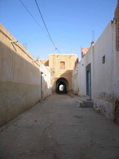
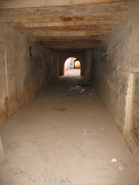
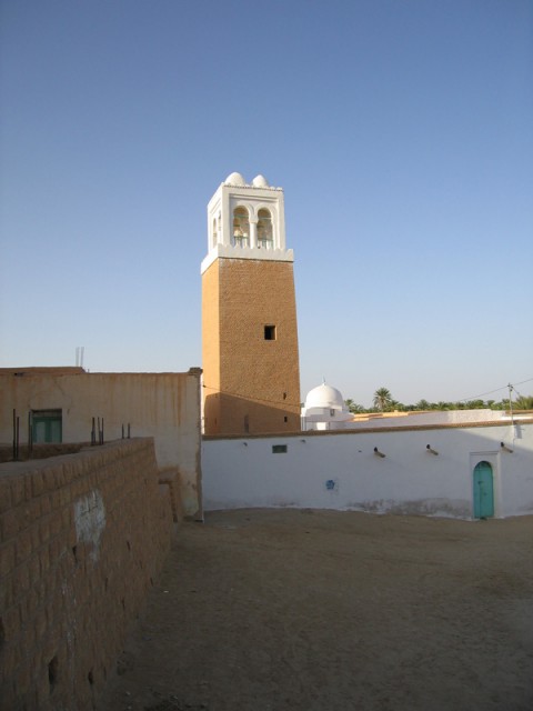
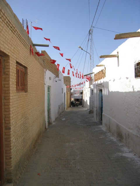
After some wandering in the Medina of Nefta we found the Hotel Habib (it means “Hotel of the Beloved”) and checked in. For the equivalent of about 5 USD per person we got a room with a shower and wash basin. The toilets were down the hall. The Hotel Habib was also the only bar in town. Luckily for us, it had already closed for the evening. The hotel staff was, however, fairly inebriated I pulled out my digital thermometer and checked the temperature on the window sill. It was 106 degrees and about 5% humidity! No wonder it felt hot! Mind you this is at 11pm! Total we had traveled across about 1/2 of the country in one day and logged somewhere around 500+ km.
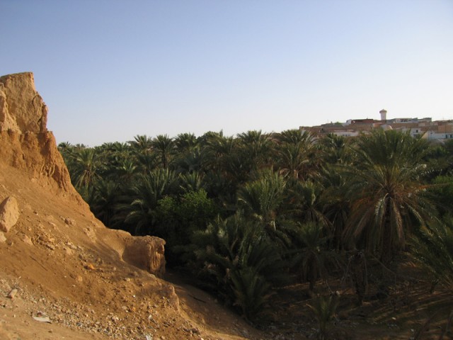
The next morning we woke up at about 7am and hit the town. We saw the oasis and were led on a tour by a farmer whose plot we happened to tromp through. We gave him the equivalent of a dollar in tip for the tour. He showed us around for two hours. He was very happy that we spoke Arabic. Evidently not very many tourists come through this town.
The view from our hotel room.
“The Basket” of the oasis where the water source once was. Since the late 1960’s, the people of Nefta have been boring deeper and deeper wells to access the underground water more effectively. In the process, they managed to dry up all of the springs!
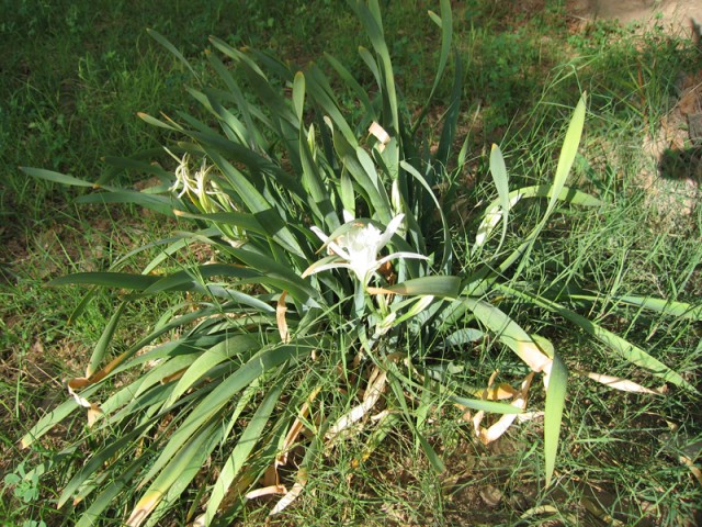
A beautiful daffodil we saw in the oasis. Anyone have any idea what variety this is? I’ve never seen it before.
After the tour we popped up into a neighborhood above the oasis and found a coffee house for Francesca’s daily cup of joe. From there we walked back to the louage station to catch a louage to Tozeur. The thing that really struck me about Nefta was how flirty all of the girls and women were there. They all initiated eye contact with me and then tittered to their girlfriends about it. I can assure you that nowhere else in Tunisia does this happen. It was rather refreshing.
On the way to Tozeur we got a message from Francesca’s work saying they needed her in Tunis early on Monday. To make sure she got there in time we hopped into another louage immediately in Tozeur to go back to Gafsa to find a louage to Tunis. In Gafsa we found our louage and had to wait about an hour before it filled up and took off. While we waited one of the guys that I had talked to on the bus the night before hopped in. He was on the way to Tunis too! We started talking in Arabic and soon the whole louage was talking to me in very fast heavy dialect Arabic that sounded more like Algerian than Tunisian. It seems I always end up either being associated with Algerians or mistaken for an Algerian! The trip back was nice talking to all of the guys in the louage. A couple of the guys got into a competition over Francesca as to who could give her better snacks and treats. It was pretty funny.
About half way to Tunis, outside Kairouan, we stopped for lunch at a roadside stand. We had a very spicy couscous. It was very good. I amazed the guys in the louage by eating two of the hottest peppers in existence in Tunisia without any problem and only in a couple of bites. I didn’t even sweat.
Lunch break.
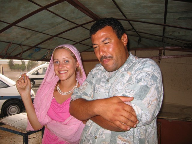
The driver is sitting next to me.
Francesca and one of the other passengers.
We finally arrived in Tunis after about five hours on the road. It was about 6pm. Francesca headed back to her place and I headed to mine. It had been a very adventuresome weekend. 1000+ kilometers from the top of Tunisia to the edge of the Chott and the Great Sand Sea.

