I took Monday off from work so I could go hike in to the Dinkey Lakes Wilderness and walk up toward Dogtooth Peak, Cliff Lake, Bullfrog Lake, and the unnamed lake in between. I also scoped out the aftermath of the 2020 Bullfrog Fire. The route I ended up doing was about 17 or 18 miles round trip and with several thousand feet of elevation gain and loss. There was very little snow only in the shadows and on north slopes so the going was very easy. This time of year there should be 10+ feet of snow here already.


The Bullfrog Fire burn scar was only maybe 1/4th of a mile or a half mile worth of trail. From the maps the incident command was putting out during that fire, it seemed like it should be a MUCH larger burn area than I encountered.

Cliff Lake is stunning. There was no one else there and no evidence of people since the atmospheric river from a few weeks ago when the snow fell in this area.
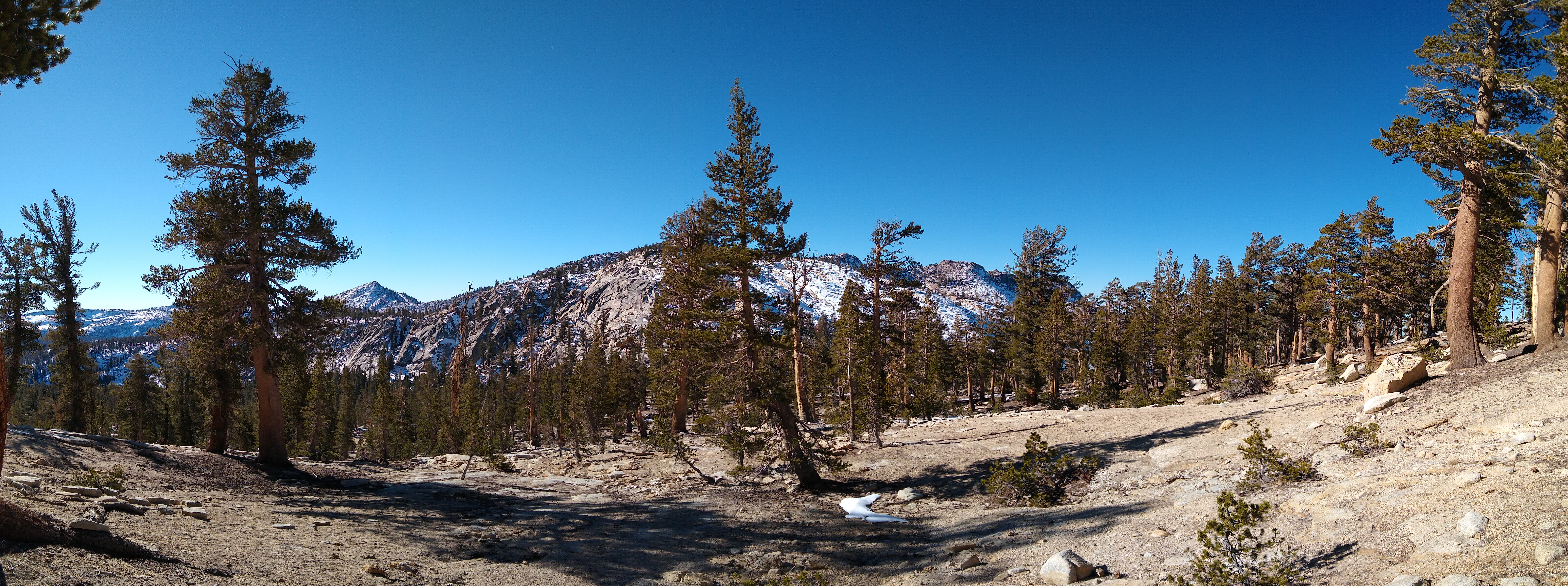
Climbing up the side of the unnamed mountain just to the west of Dogtooth Peak toward the pass that goes to Rock Lake. This is looking southwest toward Brown Mountain, Three Sisters East, Nelson Mountain, and Eagle Mountain.

Further up on the unnamed mountain. This is looking south and west. Way out there somewhere might be Mount Whitney.

Further up the unnamed mountain looking toward the high Sierra to the south and the mountains to the west. Kings Canyon National Park and Sequoia National park are way out there in the distance.

Higher still on the slope. What an outstanding view!

Up at the top of the unnamed mountain to the southwest of Dogtooth Peak. Dogtooth Peak is on the left in this photo. The route over to the peak was snowy enough that I decided against going over there. I didn’t want to get in a precarious situation since I was alone and the next human was probably back at the Helms Project facilities down by Wishon Reservoir a good 15 miles away.

A better view from the summit. Dogtooth Peak must have one of the if not the most commanding view in the Central Sierra. You can see from way down south to way up north and all the way to the coast range on a clear day. It’s absolutely stunning.


It’s so cool climbing up the mountain and being on top. The unnamed mountain and Dogtooth Peak are both covered in quartz and other interesting minerals.

Looking toward the northeast. There was a foot or two of hard snow on the north slope of the unnamed peak.

There isn’t one clear vantagepoint from this peak but if I were on top of Dogtooth Peak there would be a 360 degree view. Next summer maybe I’ll come back here and see if I can scramble on top of Dogtooth without needing ropes.

More amazing views. I think the Minarets are up there somewhere to the north.


Coming down off the unnamed mountain to the south toward Bullfrog Lake. It sure is beautiful looking up at Dogtooth and off toward Eagle Mountain.

Coming down into Bullfrog Lake. This area was glaciated.

At Bullfrog Lake looking south-ish.

Looking north across Bullfrog Lake toward the unnamed mountain and Dogtooth Peak (right).

Then I contoured around toward the unnamed lake between Bullfrog Lake and Cliff Lake.
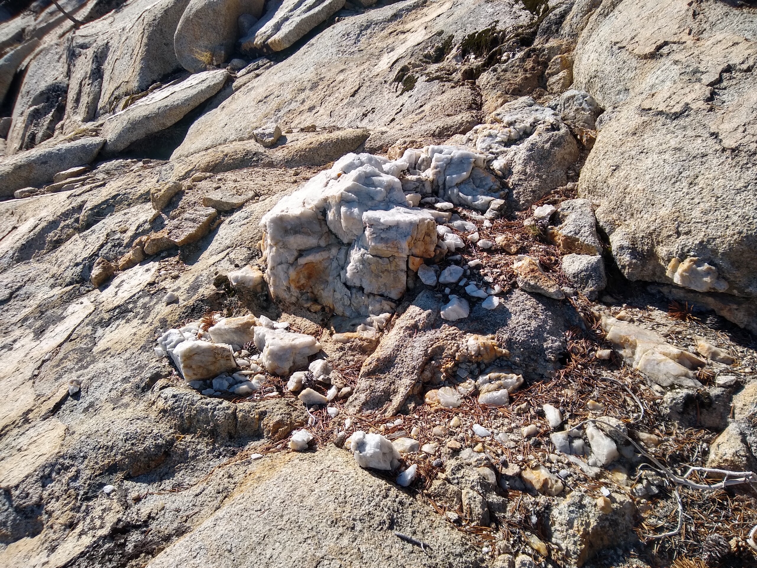
There were quartz outcrops along this route that had been picked over by prospectors at some point.

Looking south from the route I took to get to the unnamed lake.

What a wild, gorgeous view!

At the unnamed lake. It was mostly iced over just like Bullfrog Lake was partially iced over.
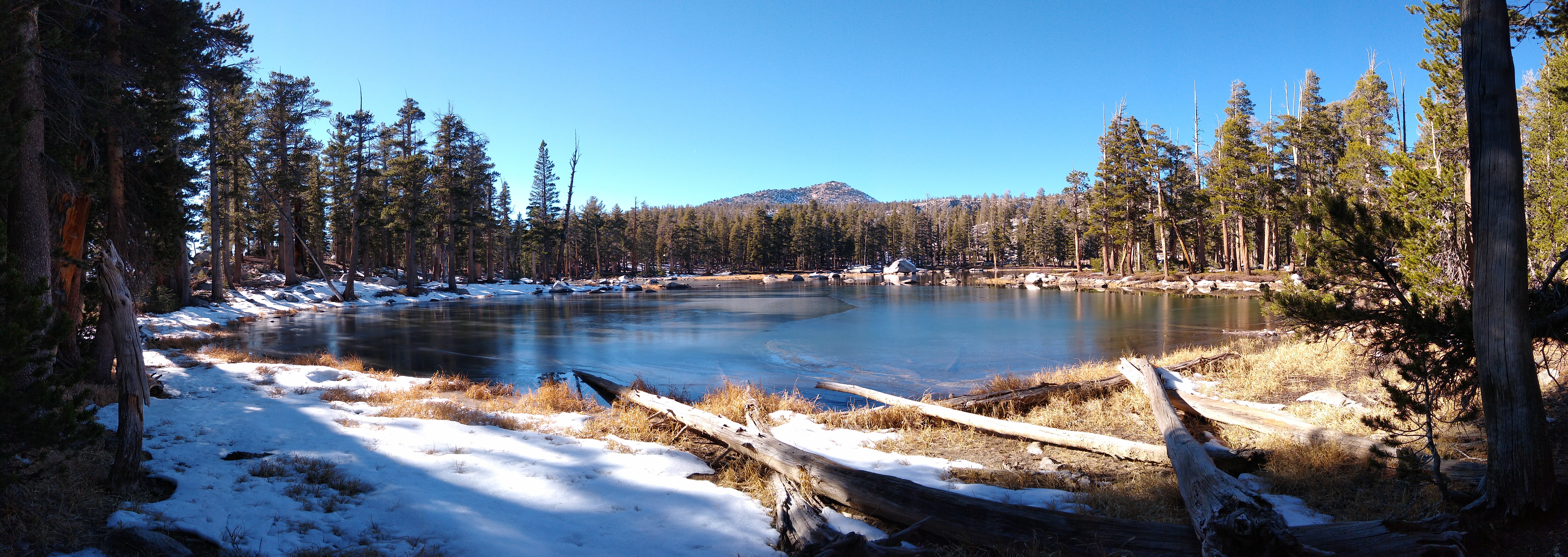
One last view of the unnamed lake before cross-countrying down to meet up with the trail to head back to the car.


A couple more photos of the edge of the burn scar from the Bullfrog Fire. It will be interesting to see how this area heals over time.

Down at Courtright Reservoir. The lake is drawn way down right now. Hopefully winter snows will fill it up again before the dry summer ahead. After stopping here for a snack, I hightailed it back to the car as the shadows were growing longer and it was getting colder. It was a wonderful experience being somewhere where the next closest people were miles and miles away.
