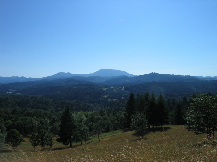
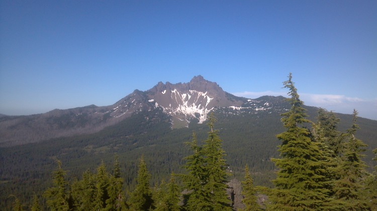
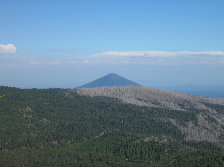
This afternoon I went trail running in an area I’ve never visited before. The Fitton Green Natural Area is part of the Greenbelt Land Trust. Fitton Green is just outside of Corvallis. There were only two other cars in the parking lot. I don’t understand why this place isn’t swarmed with people. It is absolutely gorgeous! You can see Marys Peak from the grasslands at the top of the hill.
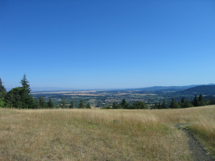
Philomath is down that way.
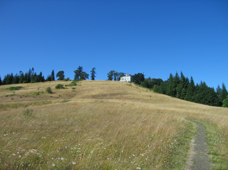
A house up on top of the hill. It’s too bad that the parcel the house sits on wasn’t purchased for the Greenbelt Land Trust.
 A panorama of Marys Peak and associated hills to the south. Click through for the full-size version.
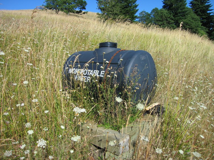
Random non-potable water tank I found.
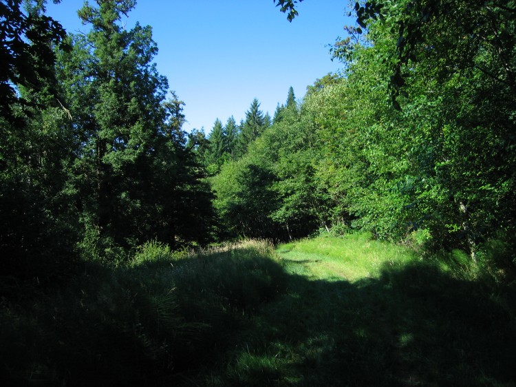
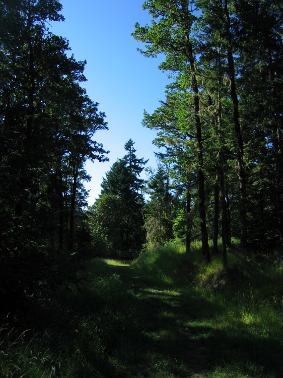
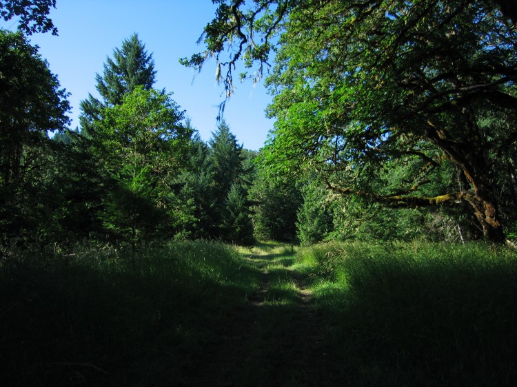
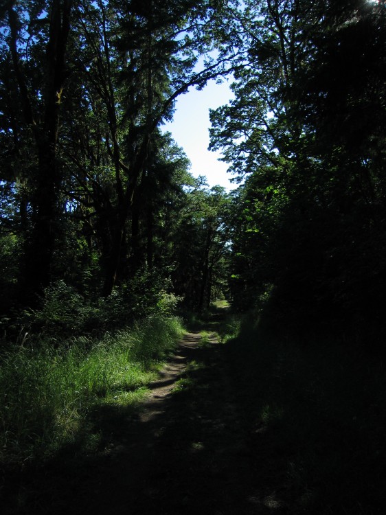
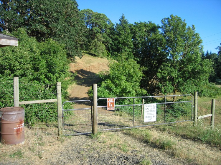
I then proceeded away from Fitton Green and down onto the western half of the Cardwell Hill Right-of-Way. I walked all the way out to the gate near the hamlet of Wren. It’s a great little run through oak woodland and oak savanna.
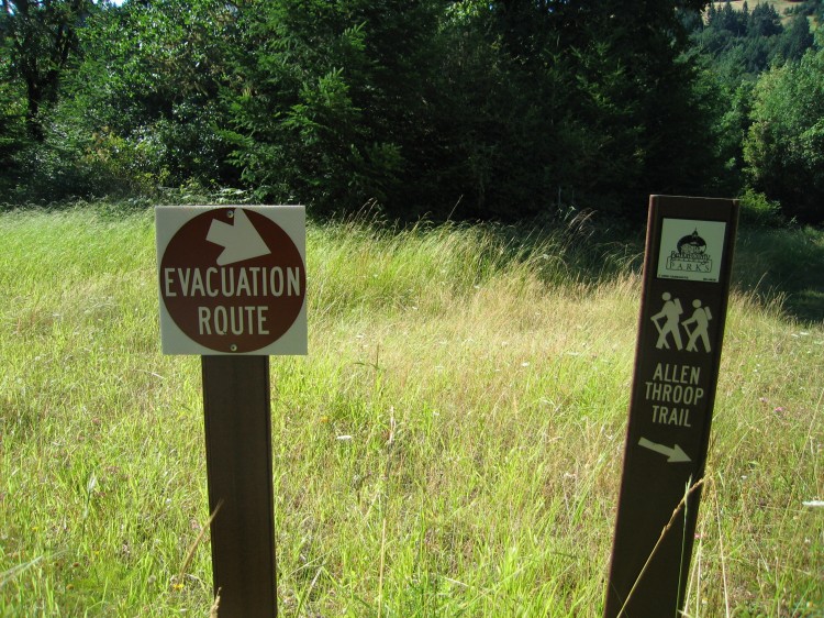
Oddly there were these evacuation route signs along the way. I suspect that this path is the way people would escape a wildfire if one were to cut off the only normal road access to the area. With the tinder dry grass higher up on the hill, that is a real possibility.
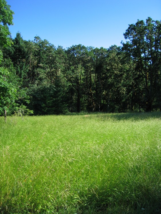
The grass is amazing this year. I wanted to lay down in it and take a nap but kept on going.
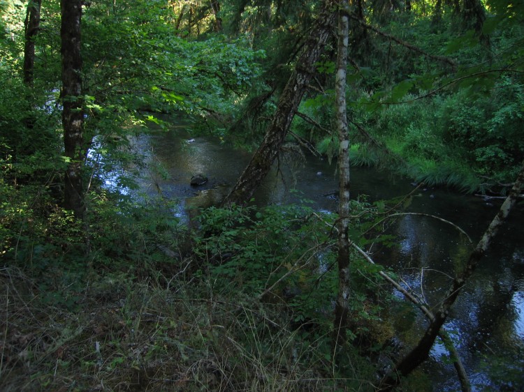
The Marys River runs along the right-of-way for part of the distance.
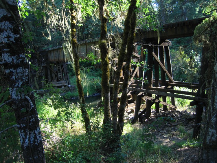
I encountered the railroad that runs out to Toledo where it crosses the Marys River.
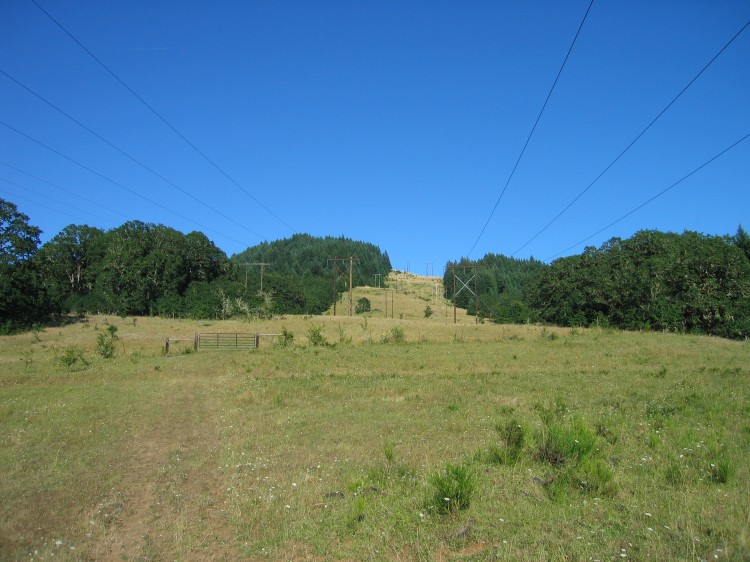
BPA power lines running west toward the coast.
The western gate to the Cardwell Hill Right-of-Way. From here I ran back to my car parked at the Panorama Parking Lot. I will definitely be coming back to this area in the future. After a decade in Corvallis, I am still finding new and interesting places to visit and explore.

