Hummingbird Pass

STA_3327 - STG_3333

After an arduous hike from our aborted attempt at crossing the right shoulder of Finger Peak, we made it to the top of Hummingbird Pass.  The way up was impeded by a small snowfield but we managed to climb over the snow.  This is the view that was saw looking down the other side of the pass.  In the distance is Hummingbird Lake and Crown Creek is located somewhere down below.  I stood on this very spot once before when I was much younger on one of our yearly multi-week llama packing trips into the Sierras.

STA_3319 - STH_3326

Looking back at the way we came.  Finger peak looms in the distance.


IMG_3334

A curious spire of granite looked down at us as we had lunch before continuing down the drainage.

Traversing to Hummingbird Pass

IMG_3284
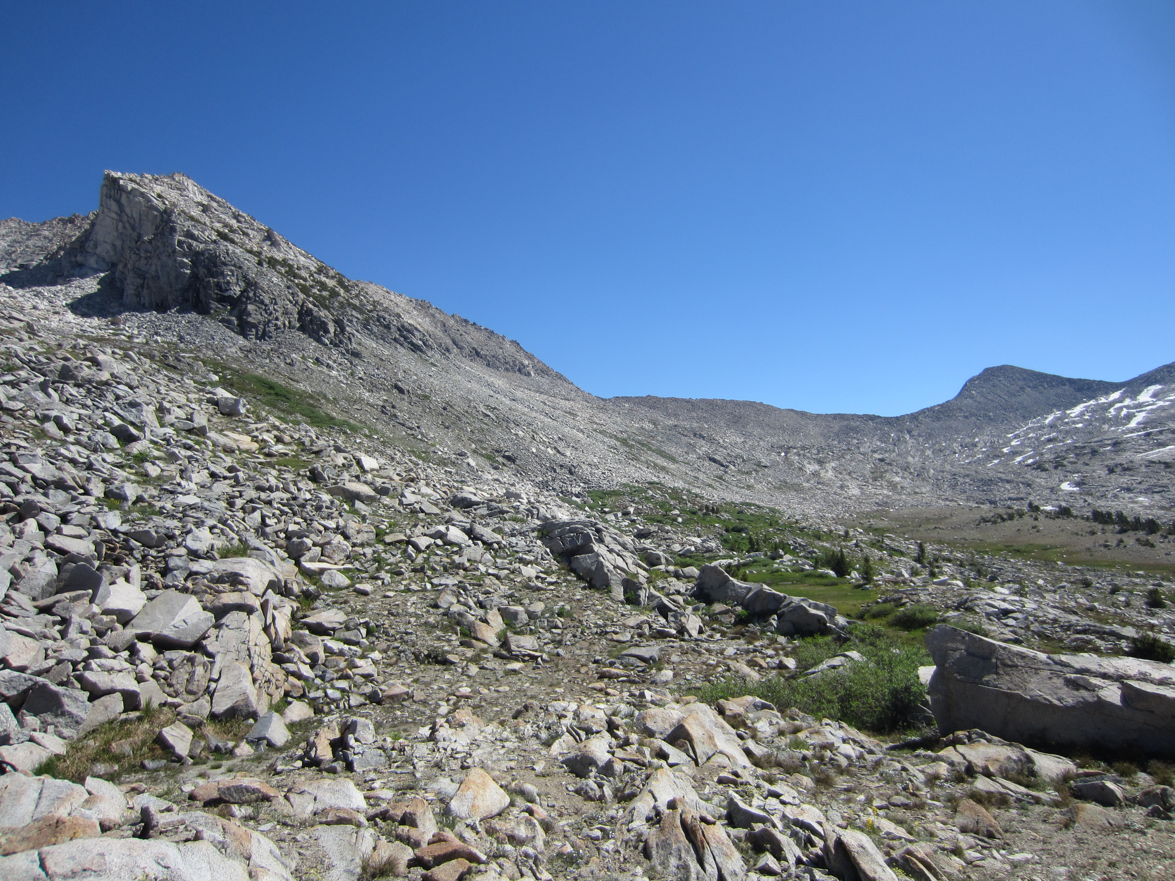
After our aborted attempt at going over the right shoulder of Finger Peak, we decided to traverse along the side of the mountain toward Hummingbird Pass rather than downclimb along our original route.  A large scree and talus slope forced us to eventually lose all of the elevation we had previously gained.  We came down a very steep slope covered in grass atop large boulders where a stream flows from snowmelt further up Finger Peak.  While absolutely gorgeous, it was also rather treacherous with backpacks on.

IMG_3285

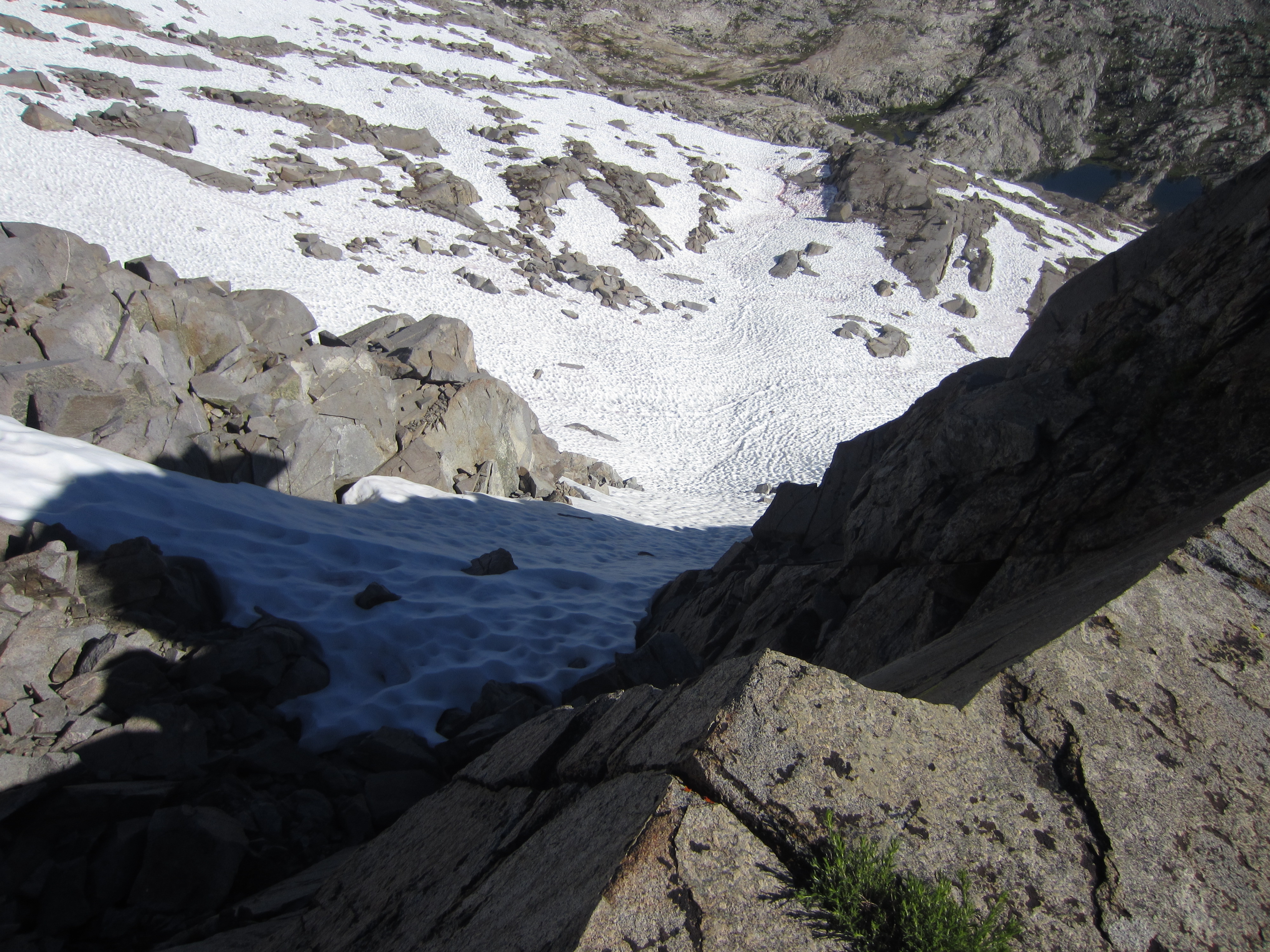
Coming back down into upper Blue Canyon.

IMG_3288

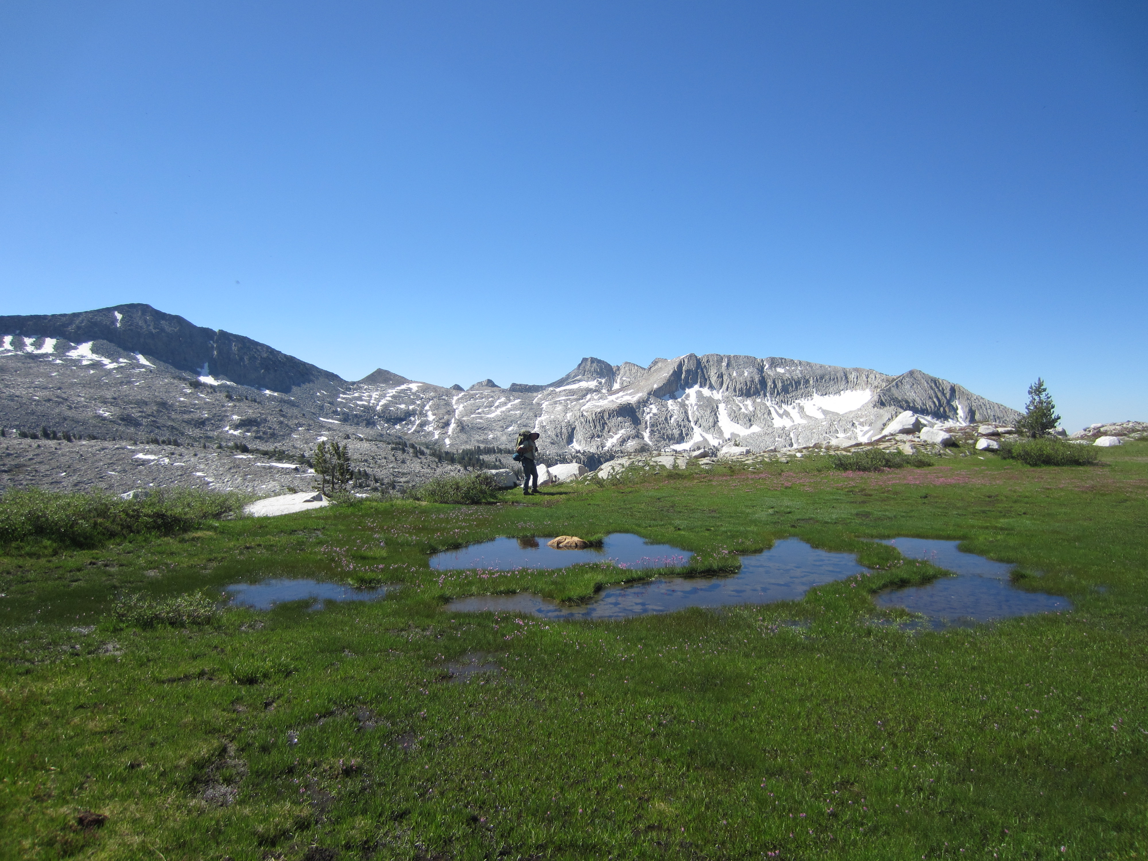
We followed a series of lush, wet benches amidst the rough granite cliffs and ridges toward Hummingbird Pass.


IMG_3290

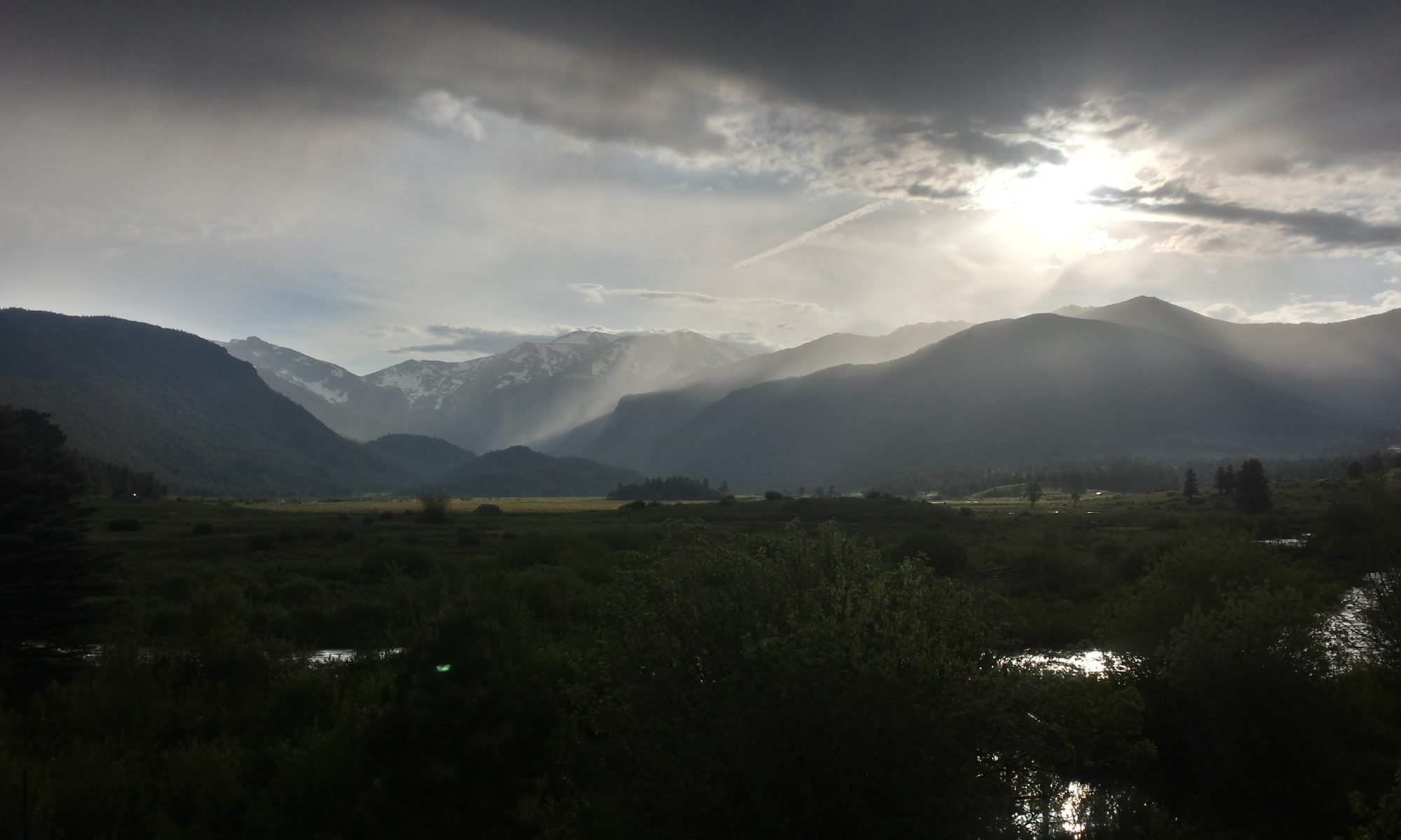
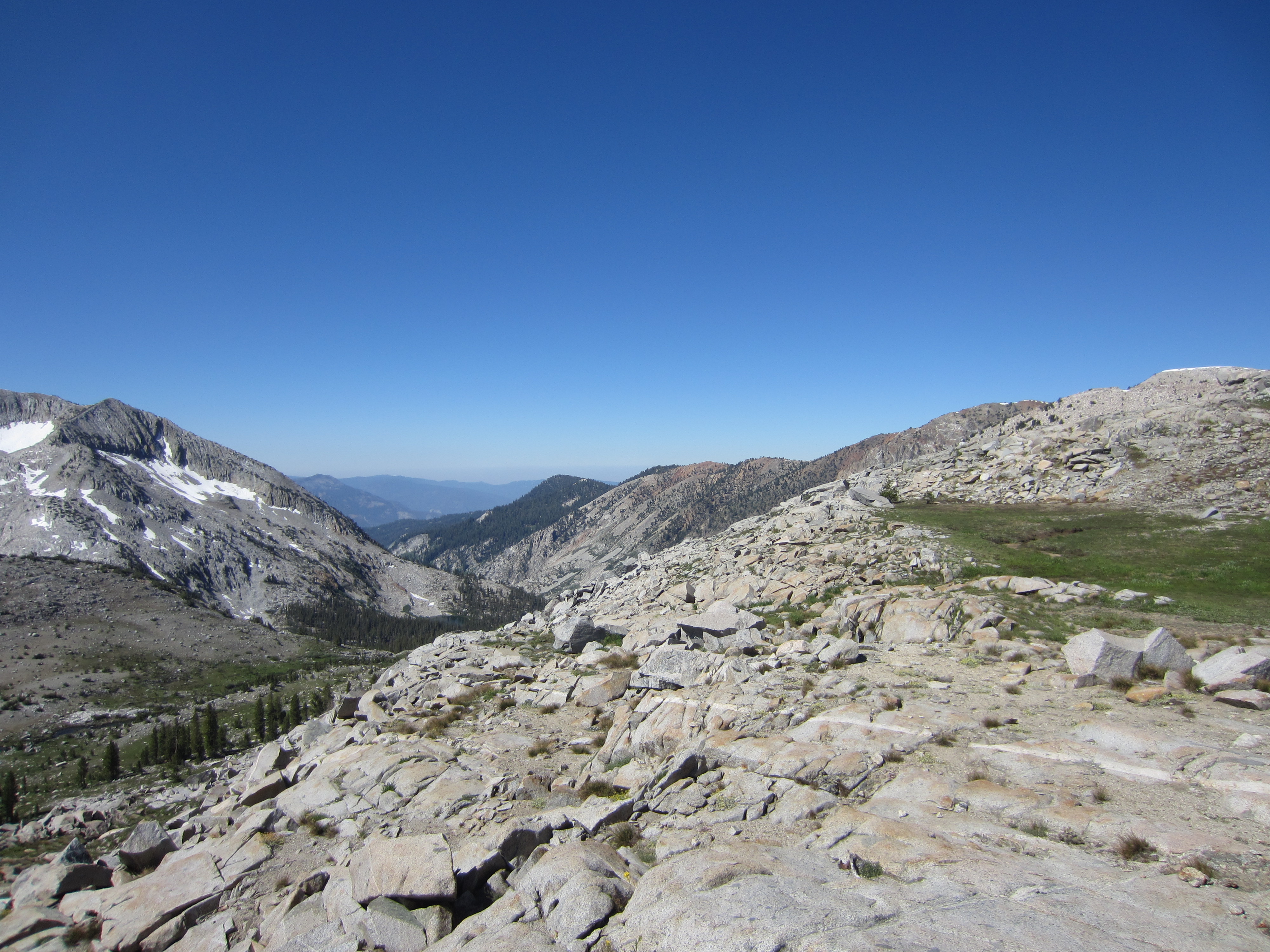
Looking down toward the bottom of Blue Canyon, Tehipite Valley, and way out in the distance (if there weren’t smog), Fresno.

IMG_3291

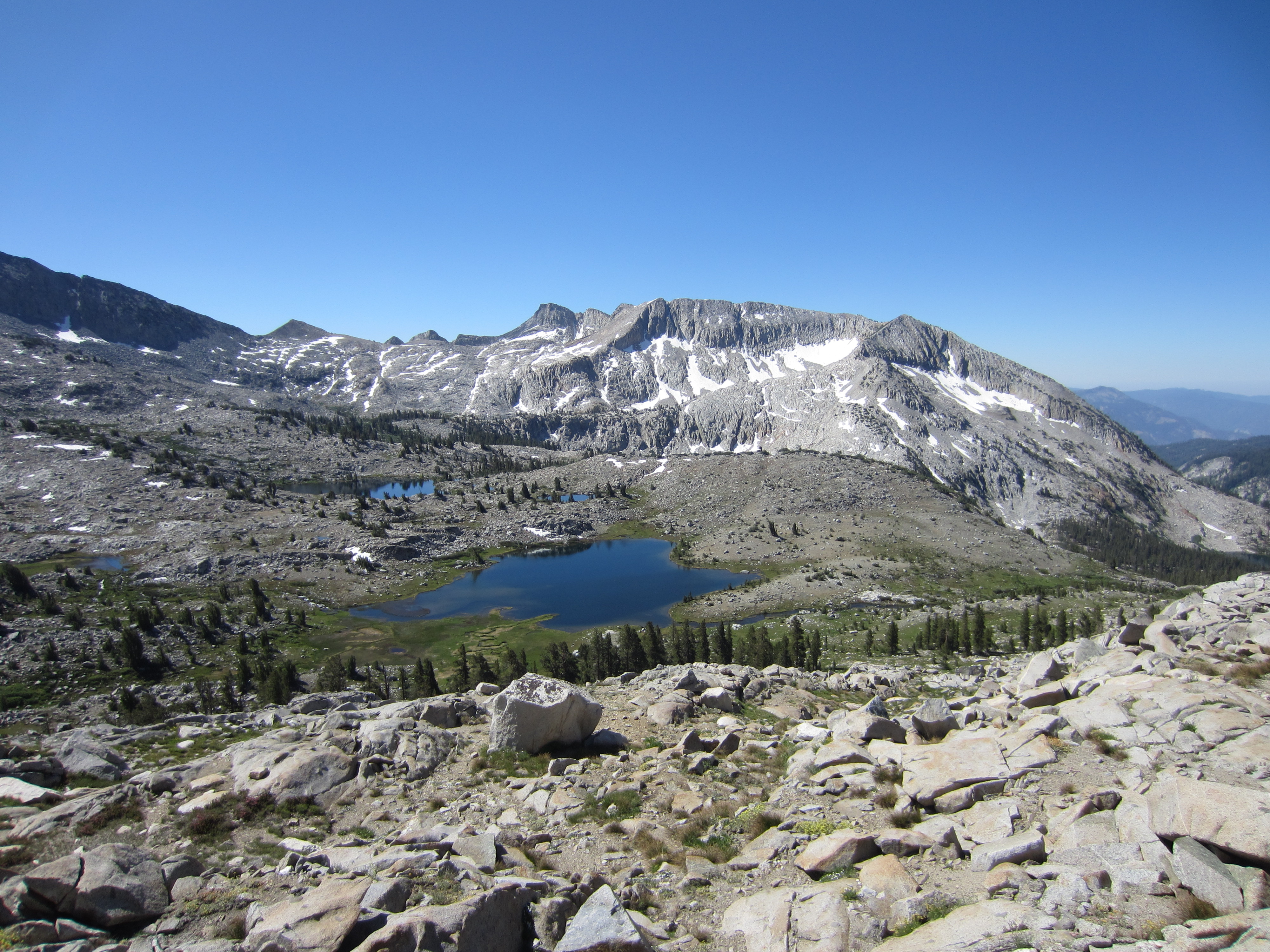
A few of the lakes we hiked by the day before.  Not many people ever see these lakes from this viewpoint.

IMG_3293

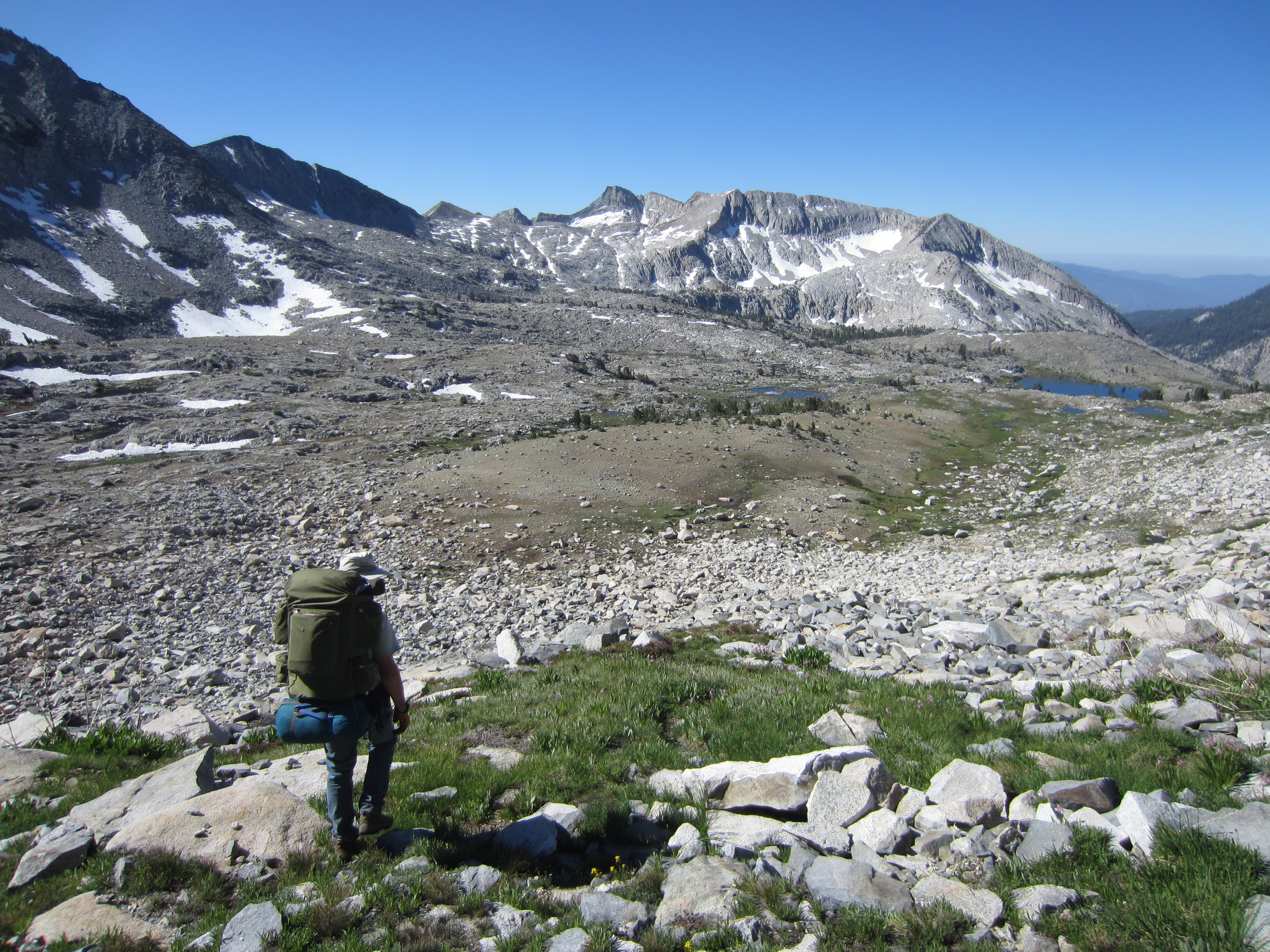
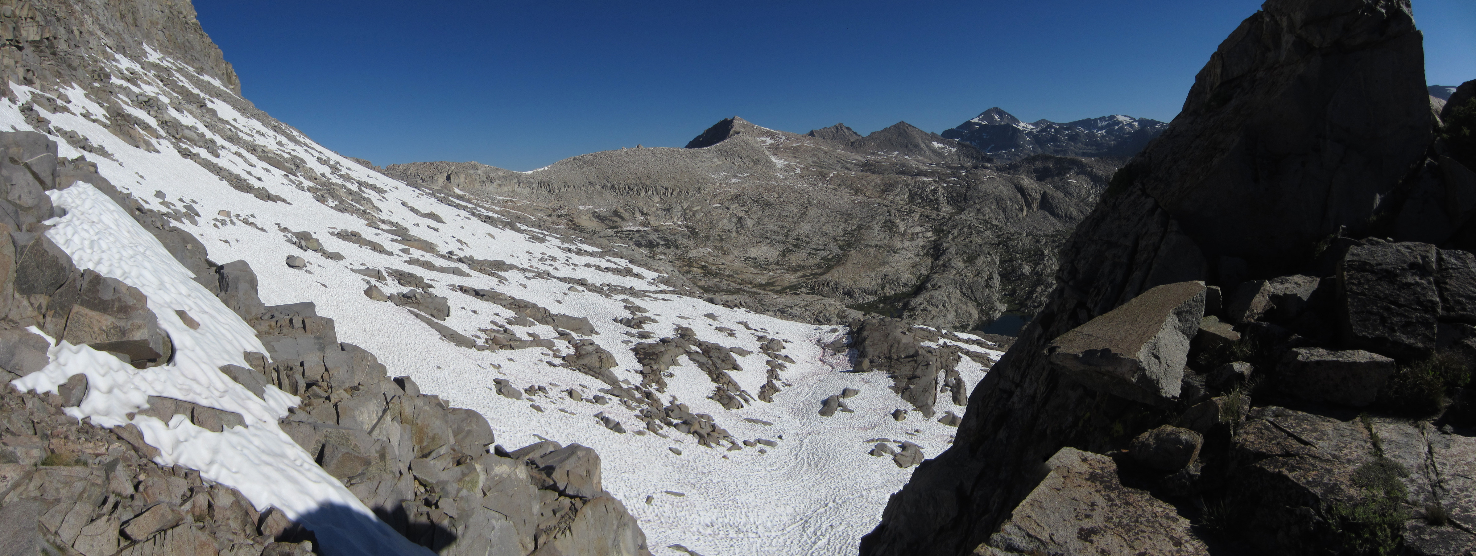
Looking back toward the pass that we couldn’t get over due to snow.

IMG_3300

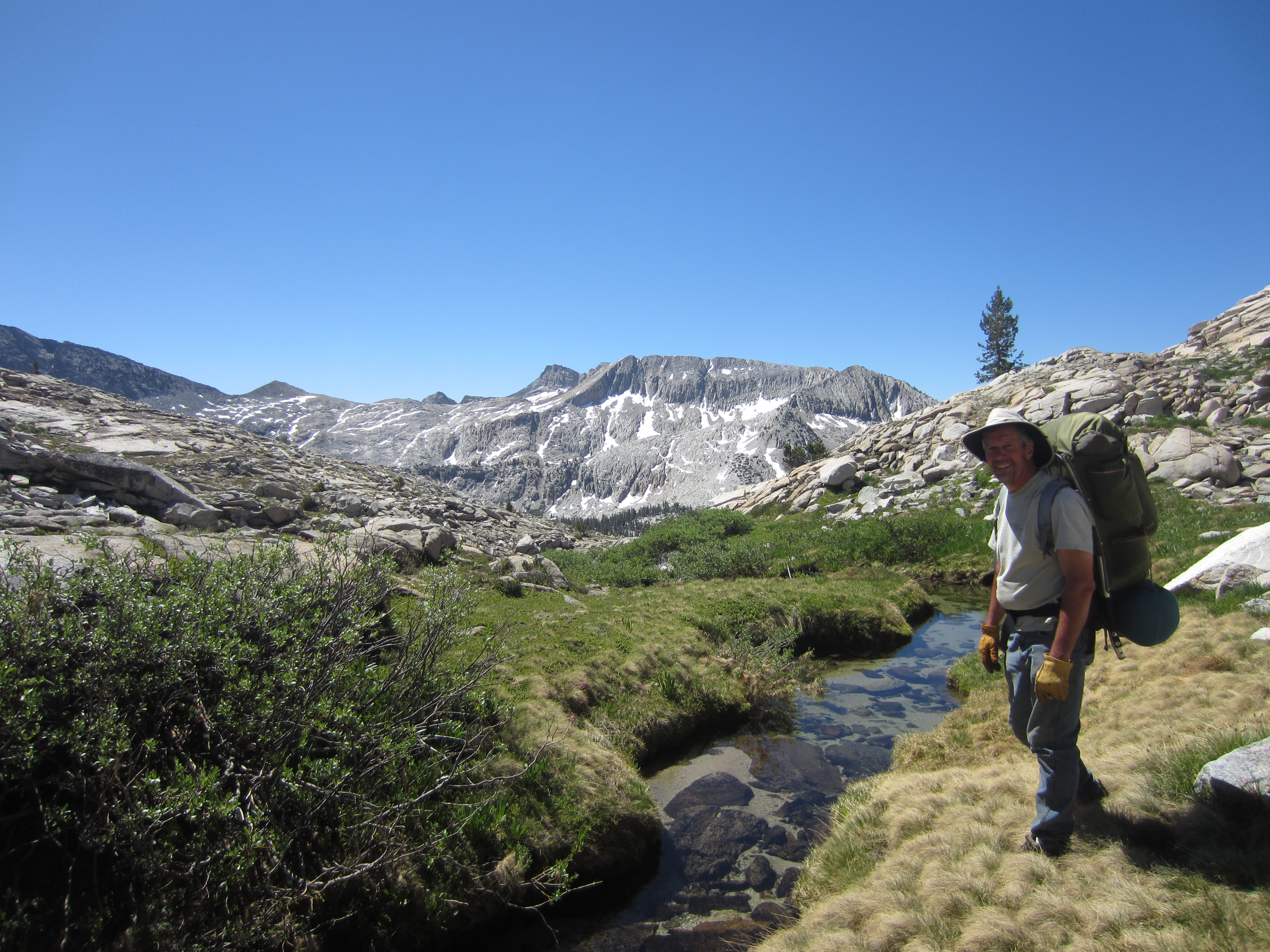
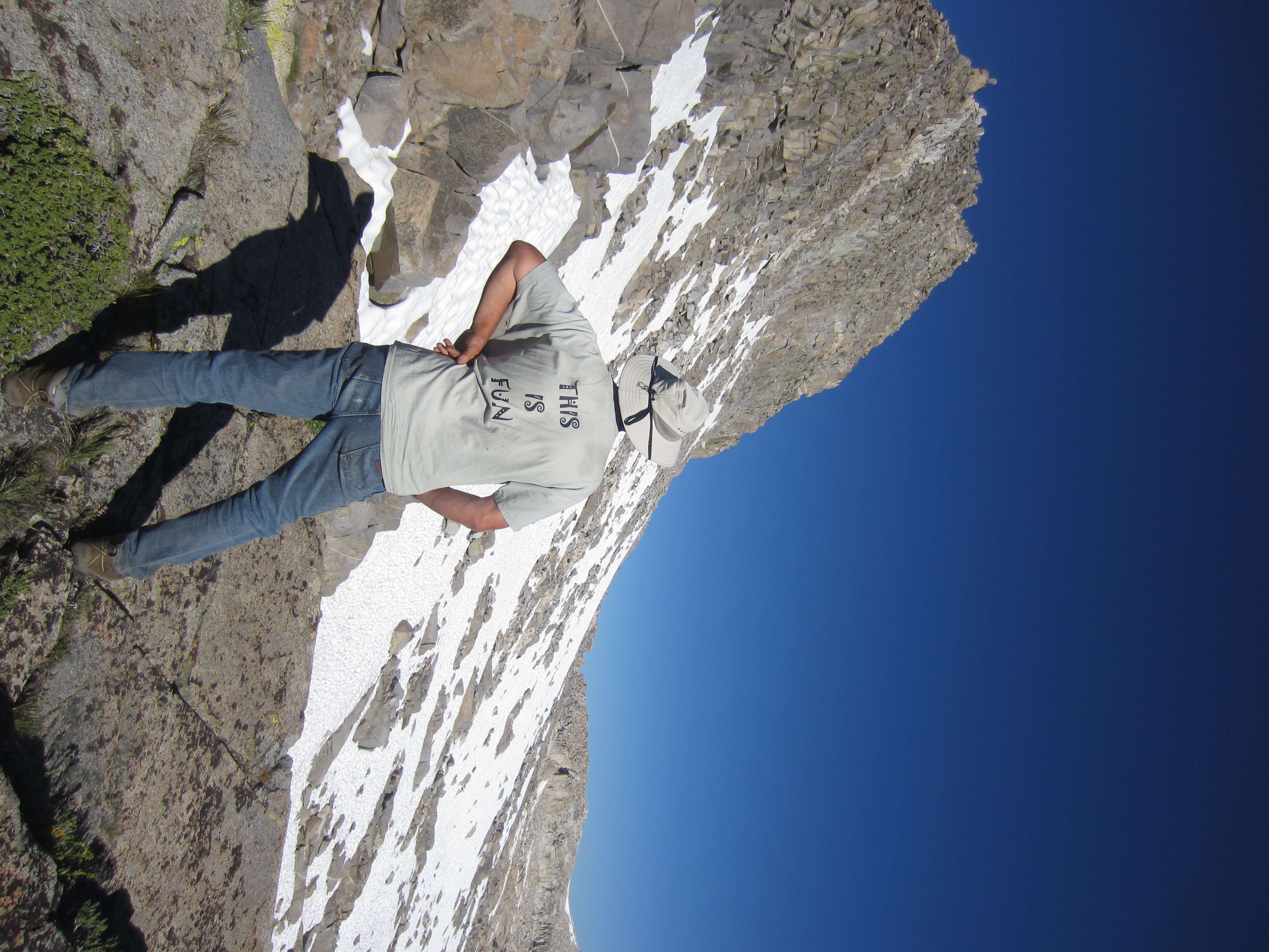
Crossing another seasonal creek.  The dry grass my dad is standing in was great fun to play with as a kid.  I used to build birds nests out of it wherever we camped.

STA_3294 - STF_3299

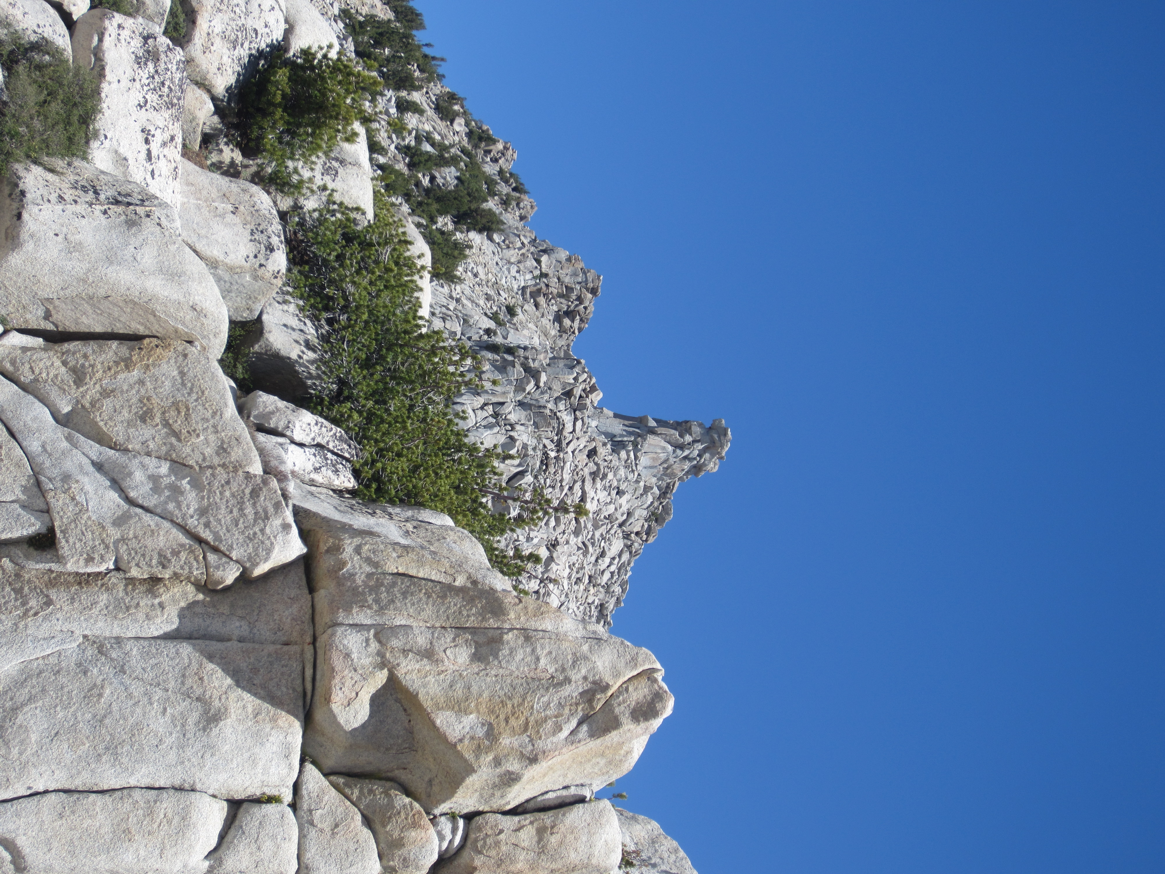
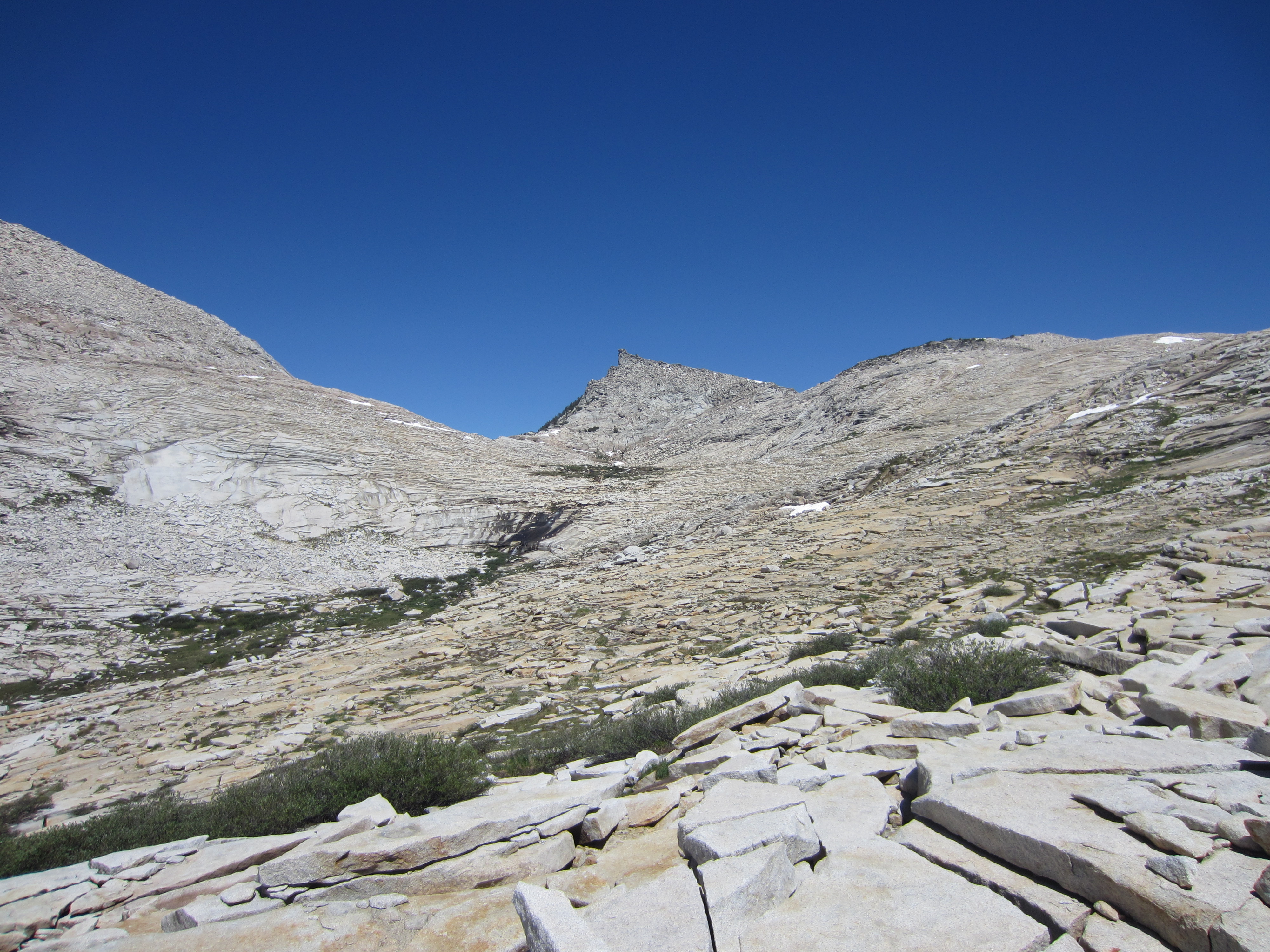
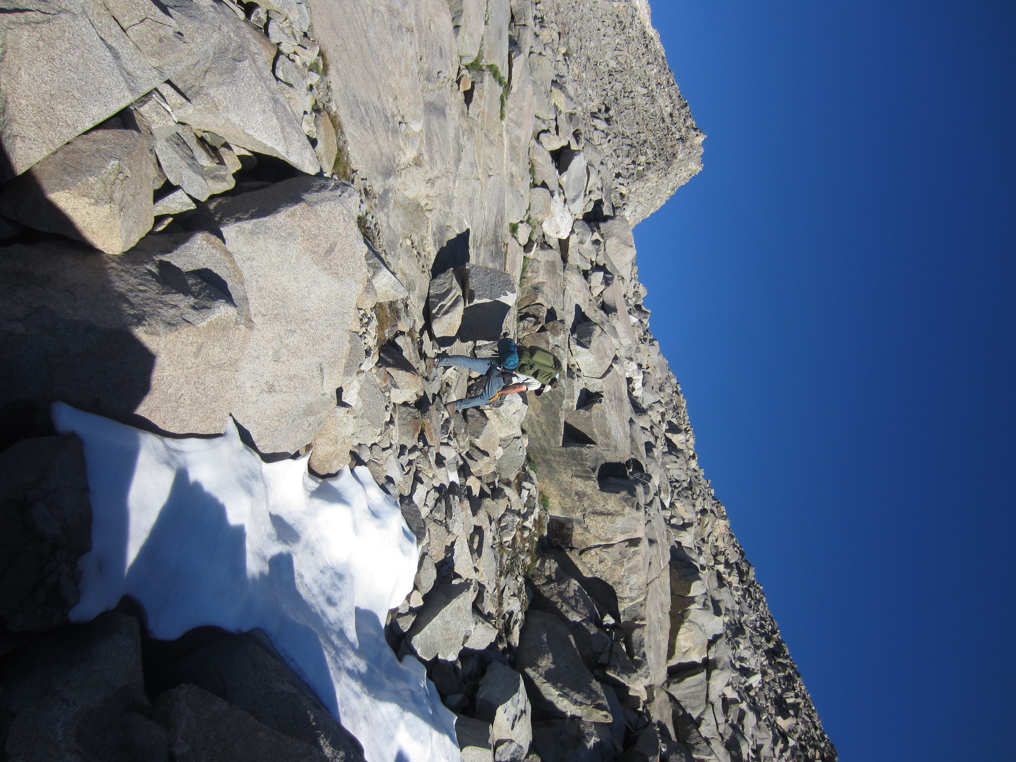
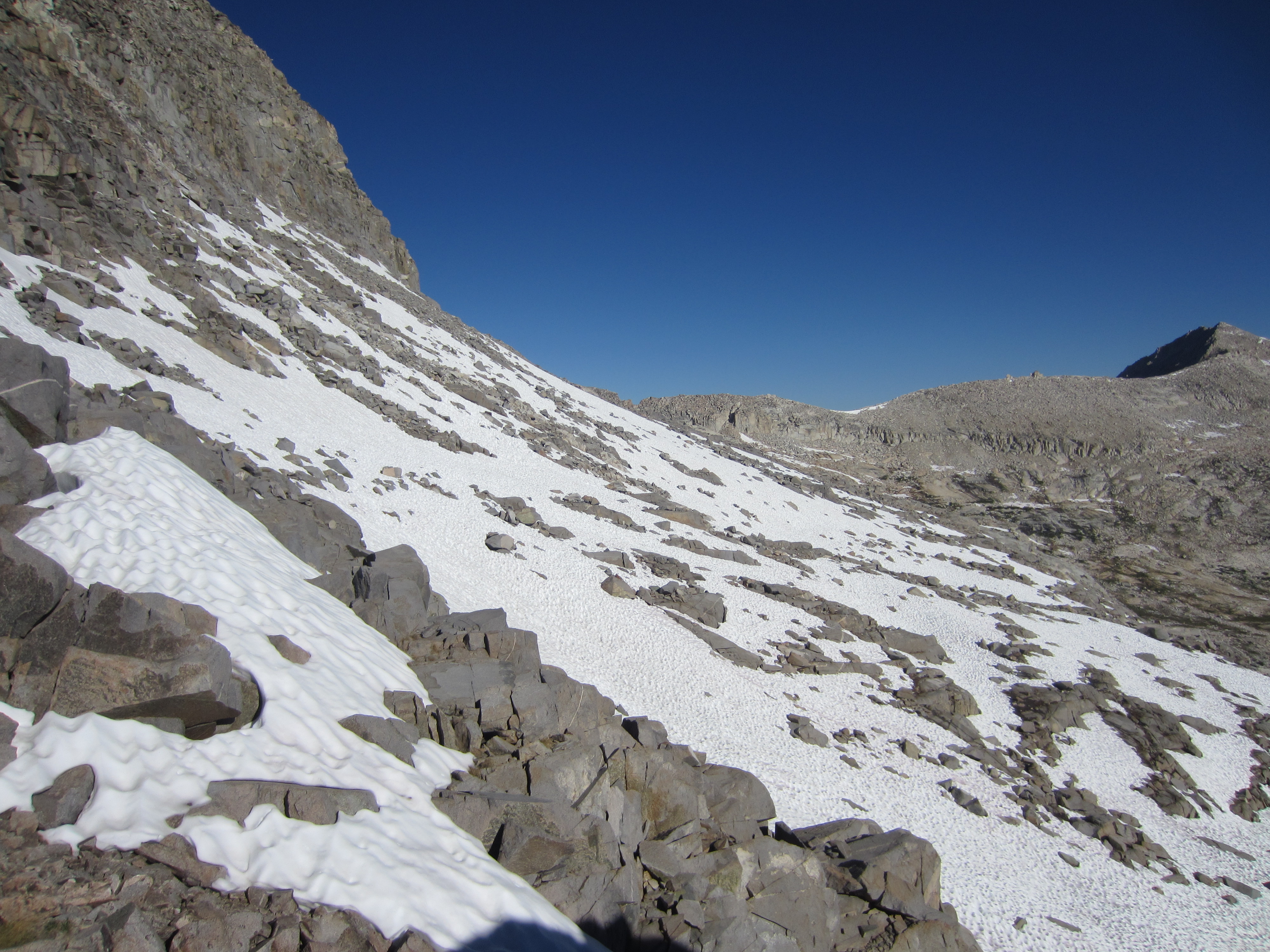
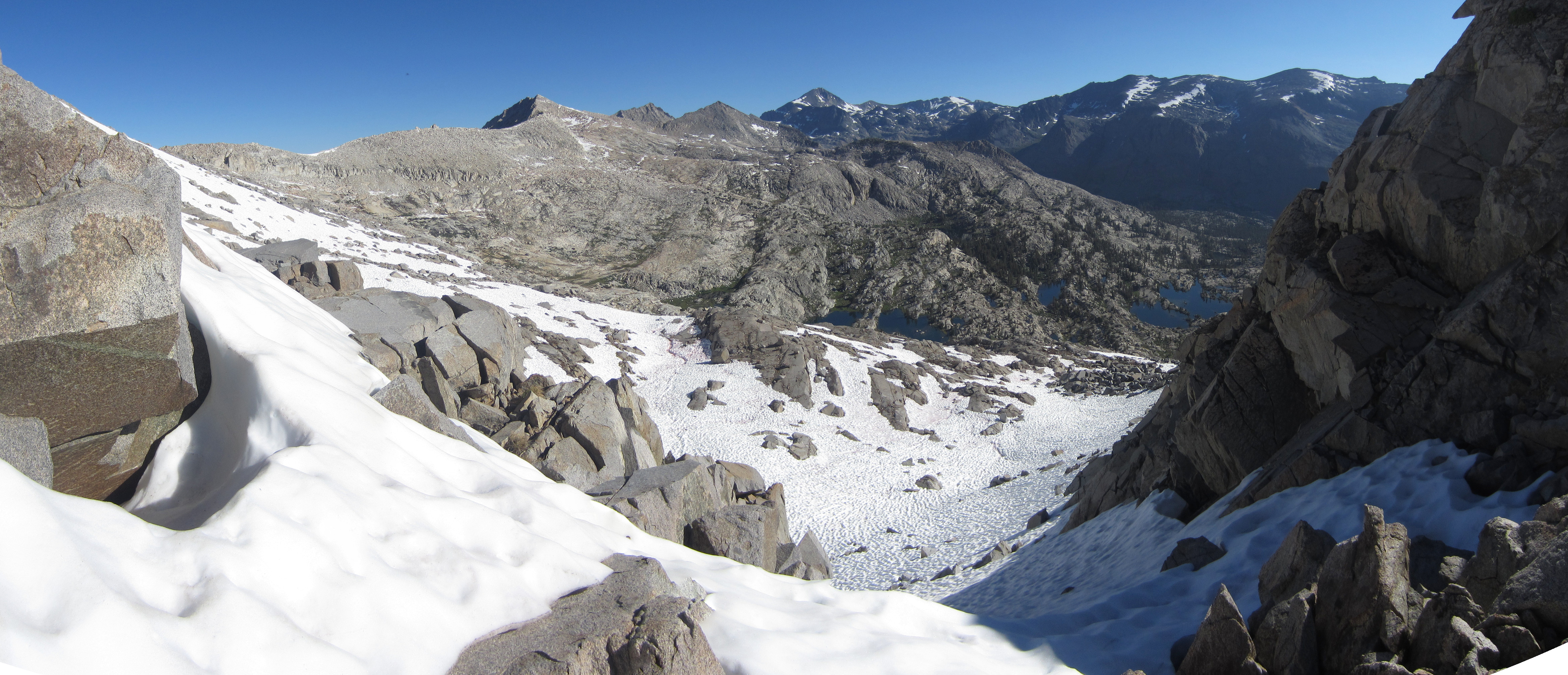
We had to navigate around this bowl of granite on our way over to Hummingbird Pass.  It took us some time to pick our way through safely.  Had we not found a way through, we could have had to backtrack down into Blue Canyon to find another route through.

IMG_3302

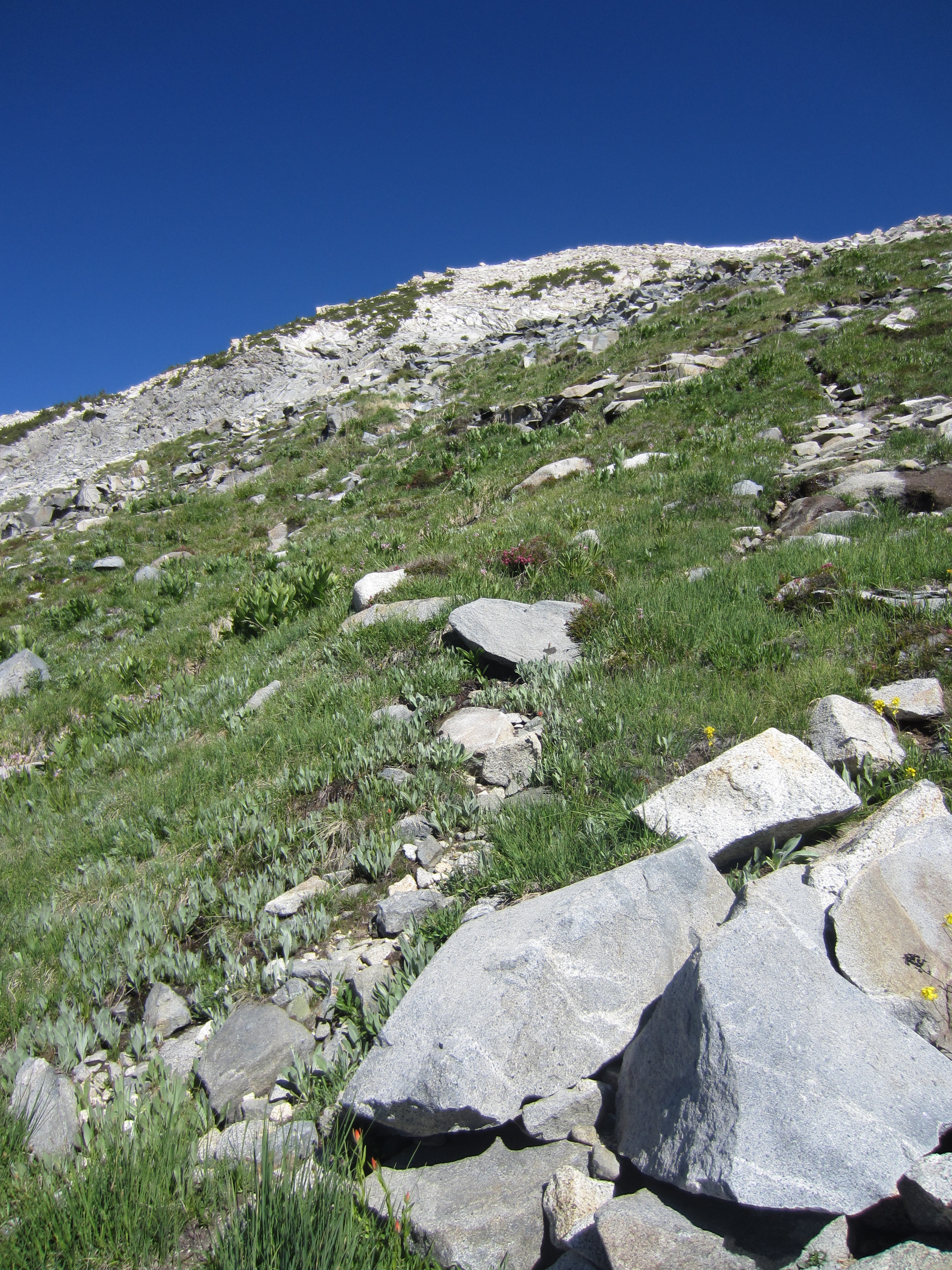
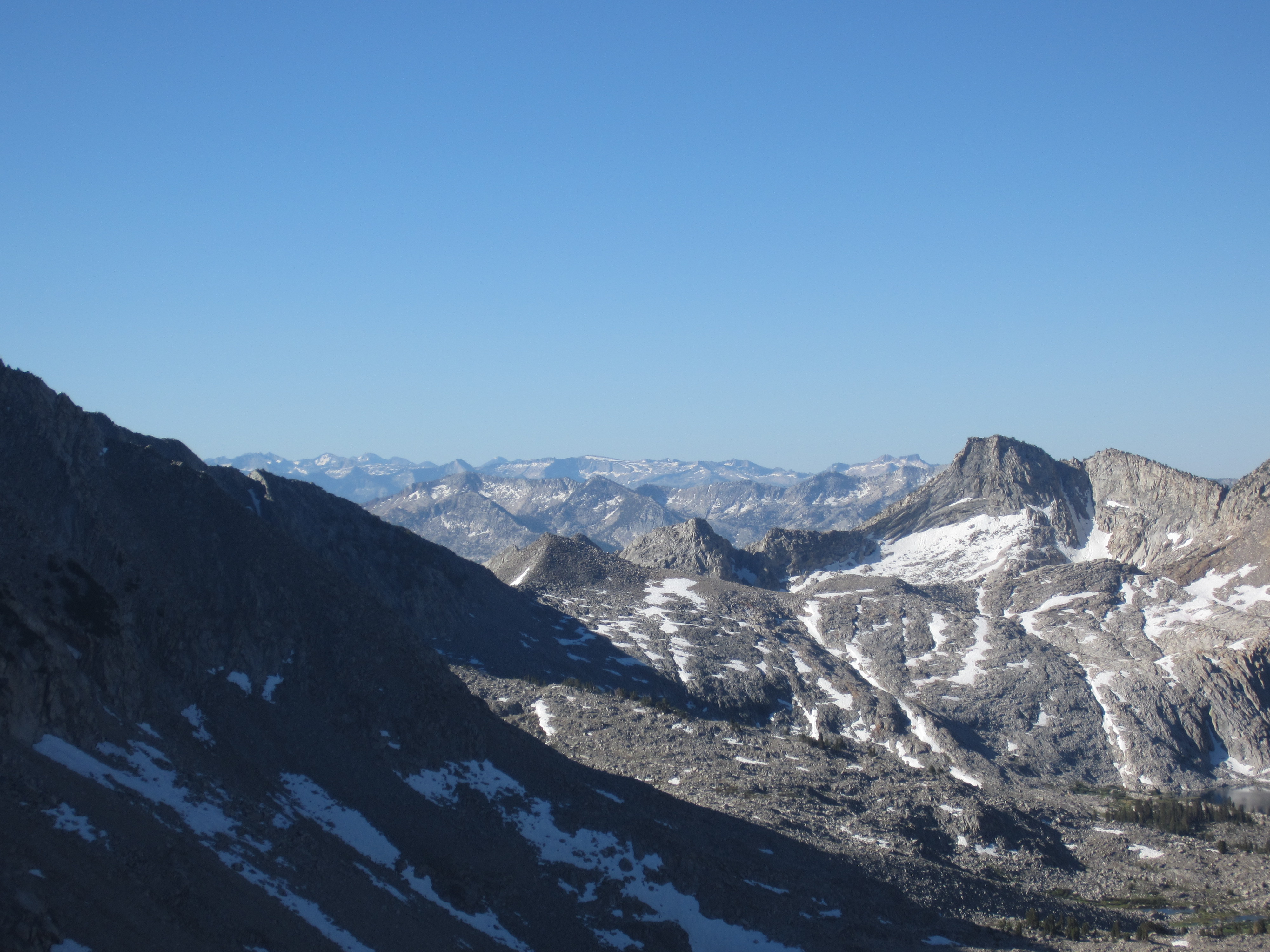
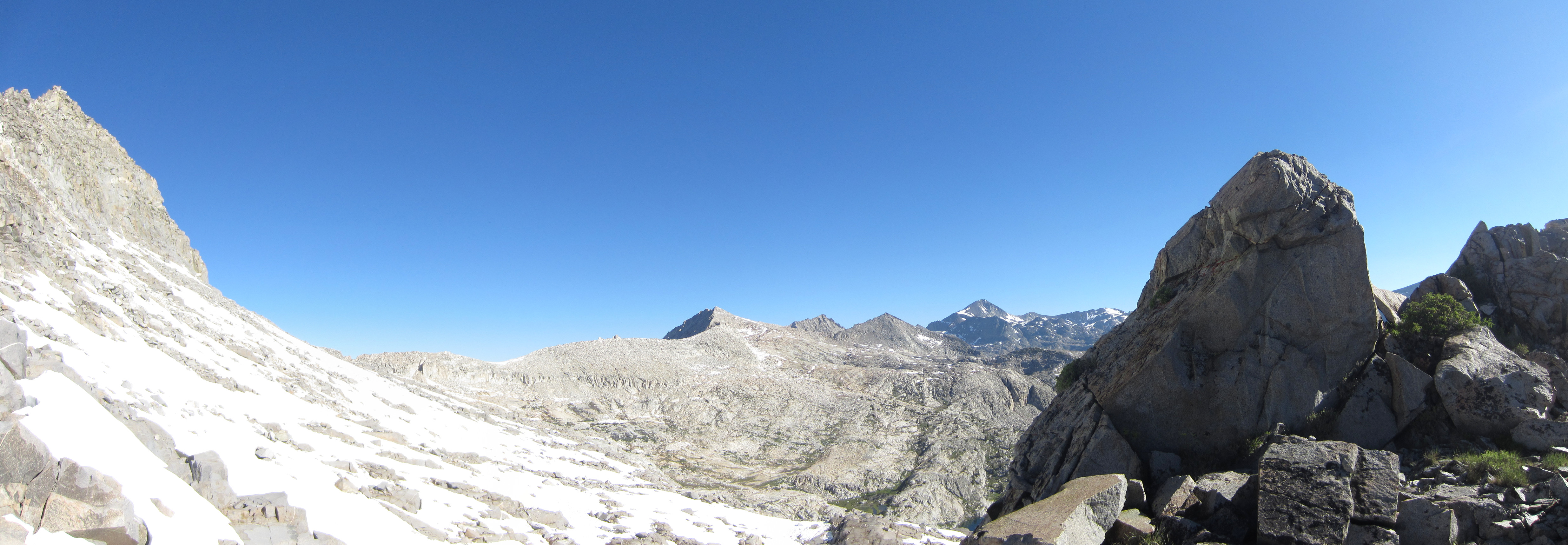
Looking up toward Hummingbird Pass.  If we can’t get through this pass, we have to backtrack back down Blue Canyon and try going over Coyote Pass.

IMG_3303

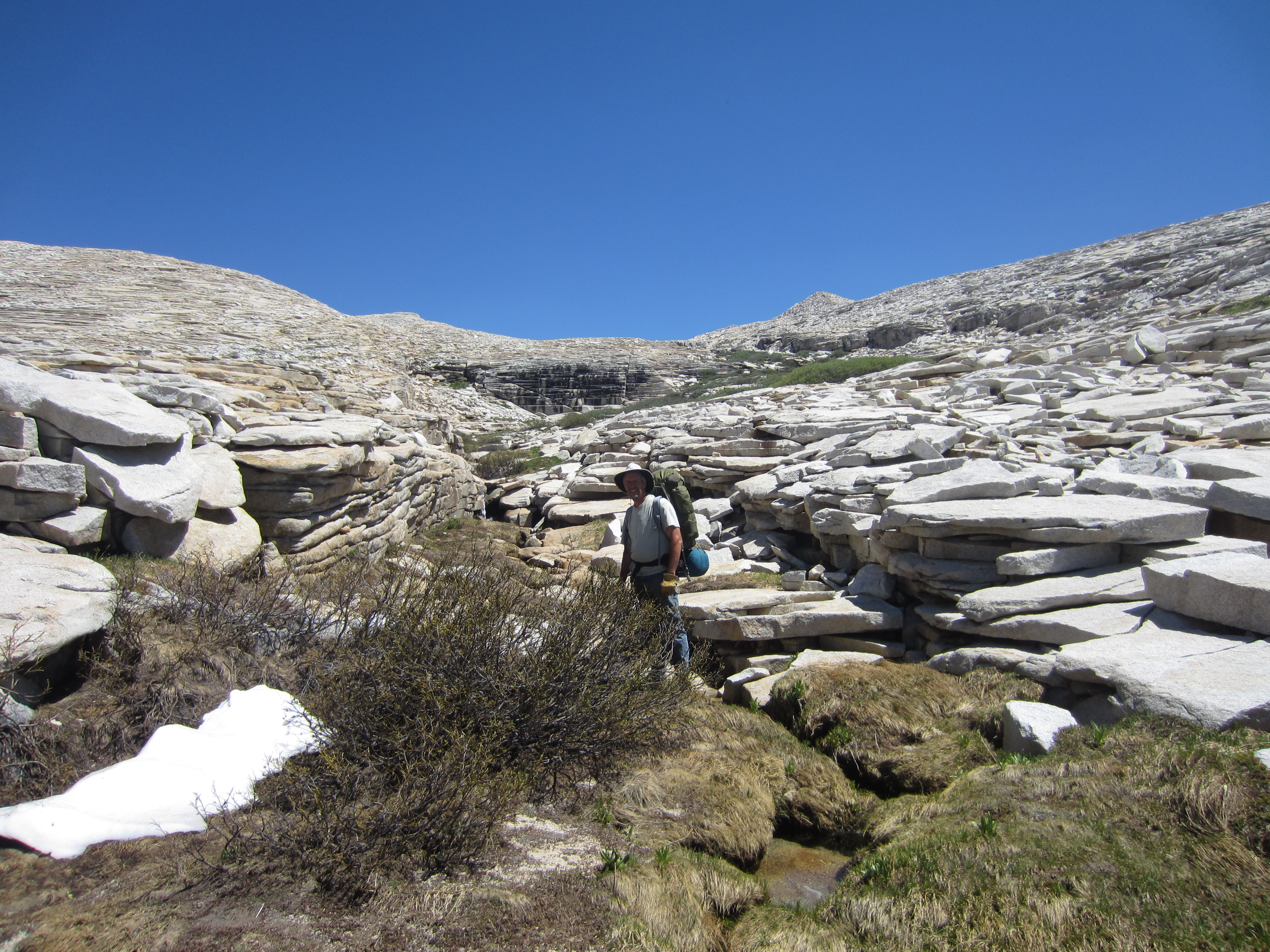
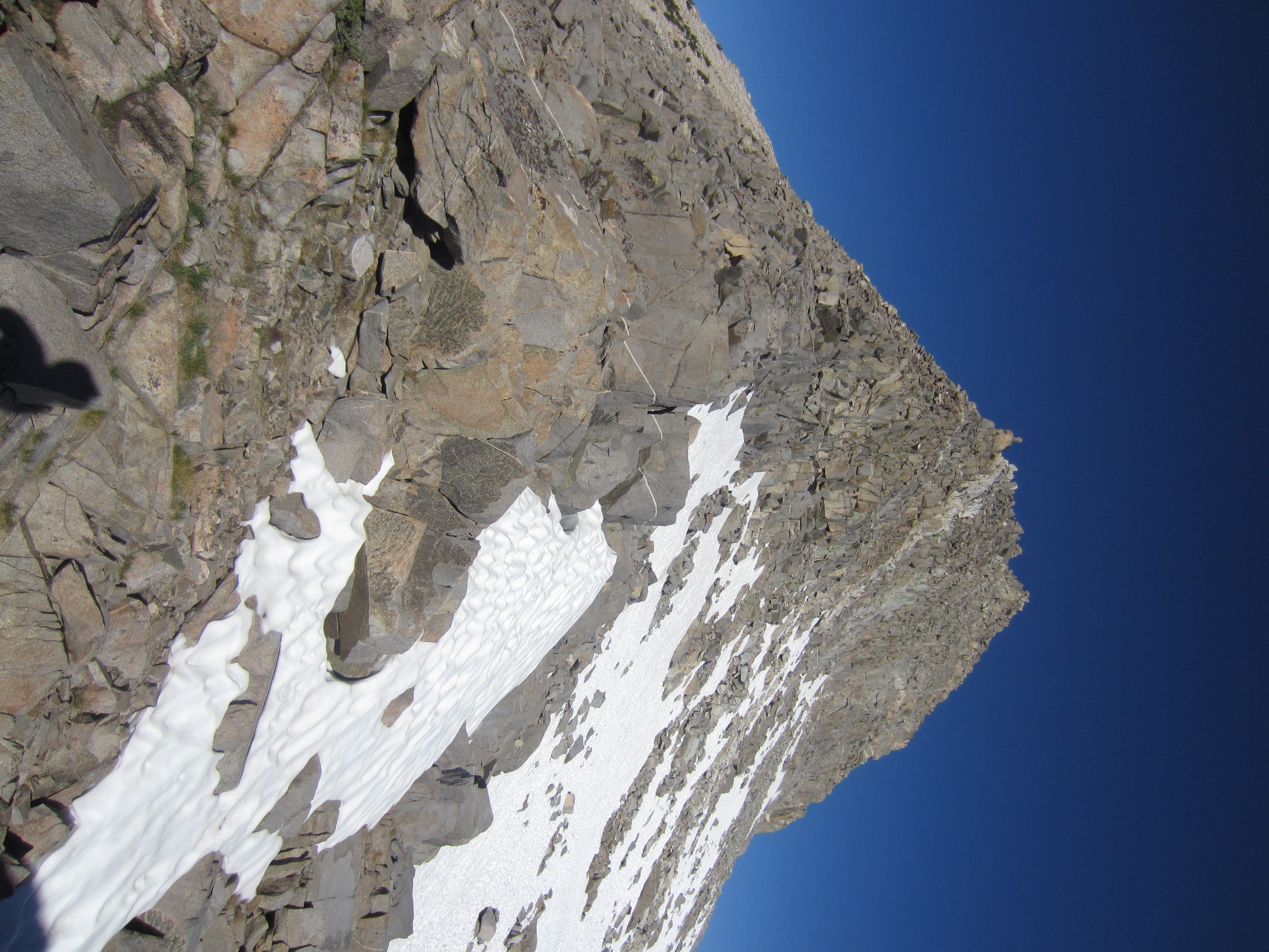
Walking through a big fissure in the rocks.  This area only melted out from the snow a few days ago.

IMG_3318

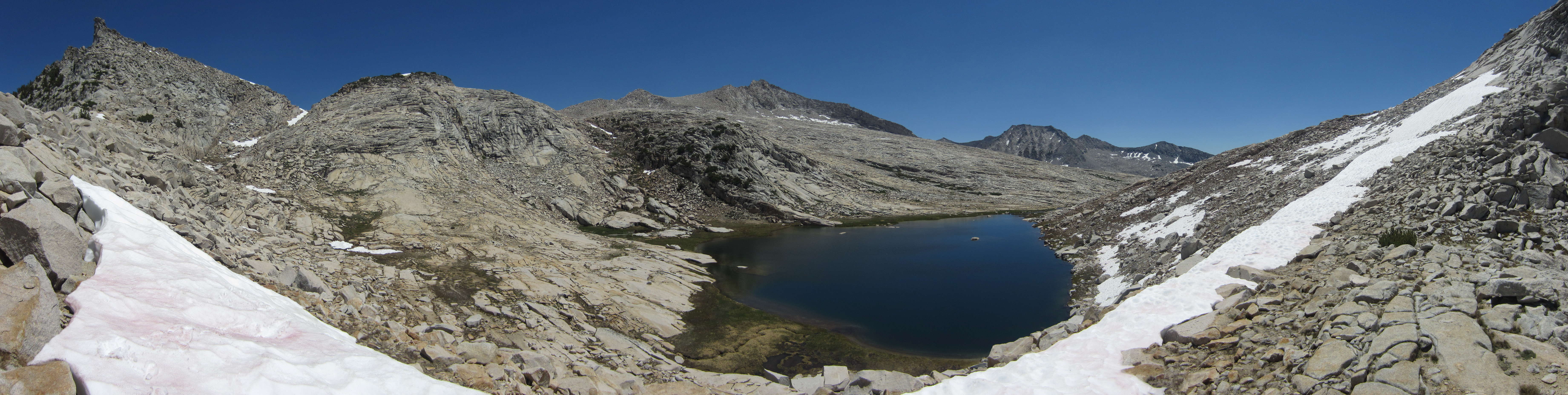
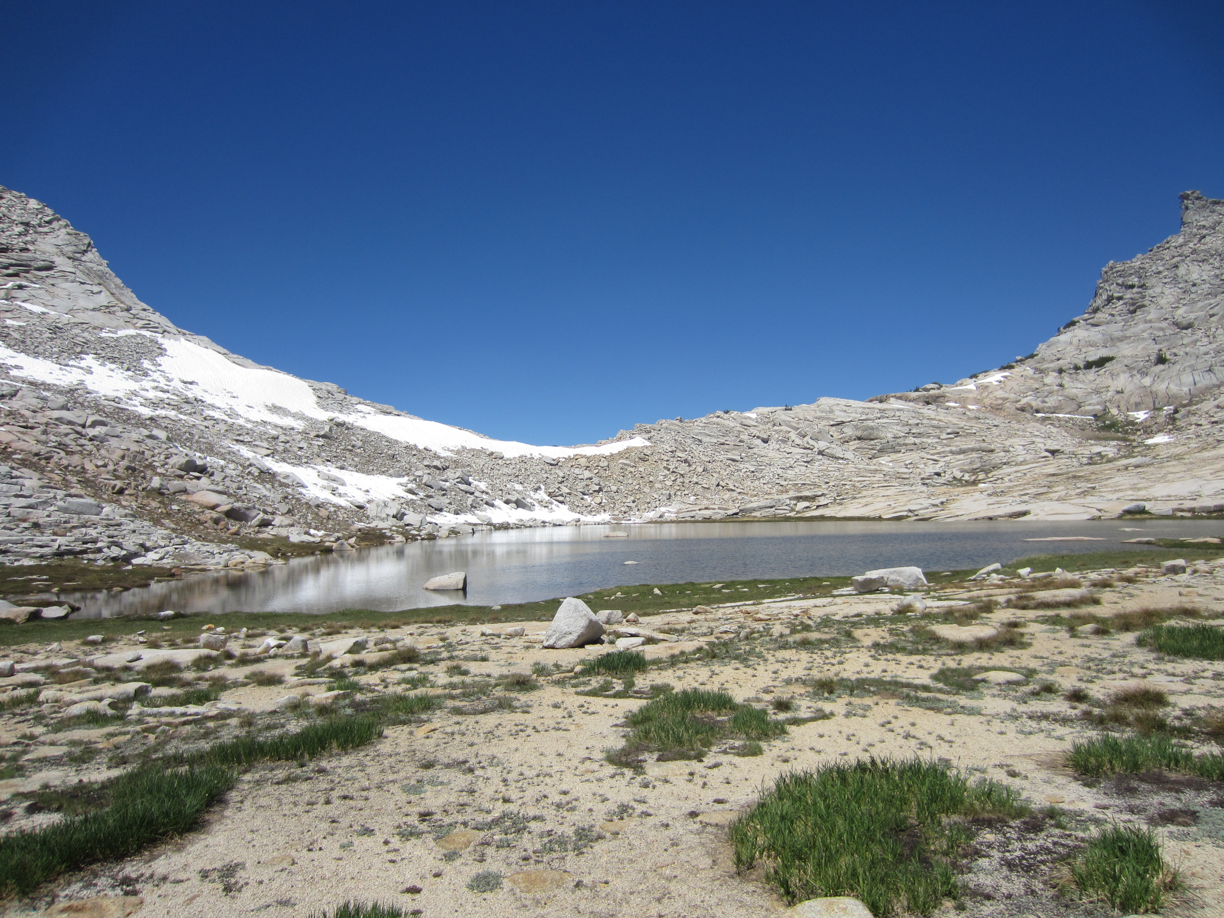
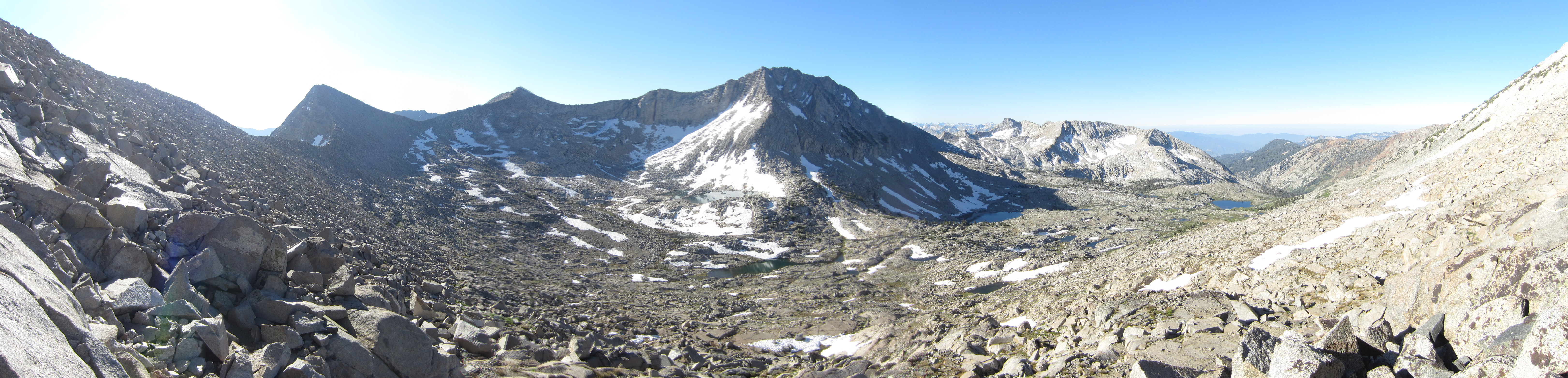
At the lake just below Hummingbird Pass.  When I was much younger, I looked down on this lake from above while having lunch on the ridgeline.  Now we get to hike around it and explore the area a bit.  Near the edge of the lake in the foreground, we found a very old campfire ring.  Fires are banned at this elevation now but back in the 1970s when the area saw heavy backpacking use, many people passed through and camped at this lake.  Now we might be the only people to go this way this year.

STA_3304 - STN_3317

This unnamed high altitude lake sure is pretty.

Up to the Pass on Finger Peak


IMG_3222

Heading up the rocky escarpment toward the pass on the shoulder of Finger Peak.  This is a seldom-used pass that, as far as we know, has never had a name.  We carefully picked our way up through the jumble of boulders, bedrock, and snow toward the summit with our old school Kelty packs.


IMG_3282

Looking down south toward Mount Whitney.  Somewhere out there looms several 14,000+ foot peaks.


IMG_3243

Finally up on the pass!  This is fun!

IMG_3260

Alas, we won’t be going this way.  The north face of the pass was an icy snow chute with little purchase for our boots.  We decided not to try and chance a decent, especially since we weren’t sure if we could get over the pass that drops into Black Cap Basin above Cathedral Lake.  If we had managed to get down into this basin, we could have become trapped and might have had to go down Disappearing Creek or the Gorge of Despair to get back out again.

IMG_3261

Looking toward the notch above Cathedral Lake.  My guess is that it is full of snow and completely impossible to get through without serious ice climbing gear.

IMG_3262

Looking up at Finger Peak.

IMG_3263

There are many beautiful unnamed lakes in this basin.  Mount Goddard rises in the background along with The Black Divide.


STA_3264 - STE_3268

Ice and snow everywhere.  It’s still too early in the season to get through this pass.

STA_3253 - STG_3259_blended_fused

Looking back down into Blue Canyon.


STA_3269 - STM_3281

What a crazy, beautiful world it is up here.