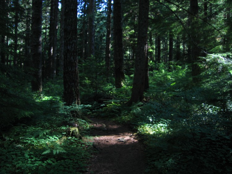
North Ridge Trail to Marys Peak

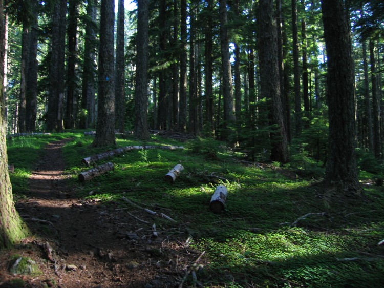
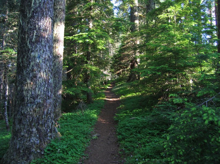
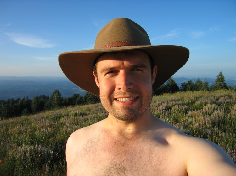
This evening Adam and I hiked the North Ridge Trail and Summit Trail to the top of Marys Peak.  According to the internet, North Ridge Trail is a 7.7 mile round trip and Summit Trail is 1.5 miles.  I would hazard a guess that these numbers are low.  We were hiking at a 3.5 mph pace up and it took us roughly two hours to reach the summit.  Coming down it took 1.5 hours and we were moving much more quickly.  So I suppose an estimate of about 10 miles for the whole round trip would be about right.  Certainly the roughly 2500 feet of elevation gain and loss was a nice workout.  The 30 lb pack I was carrying helped, too.

The entire time we were hiking and up on top of Marys Peak we didn’t see another person.  Due to the road closure this summer, the summit has been practically deserted.  I will be heading back up Marys Peak real soon.  It is such a treat to enjoy the hike and the summit without anyone else being up there.


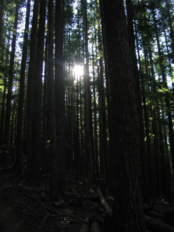
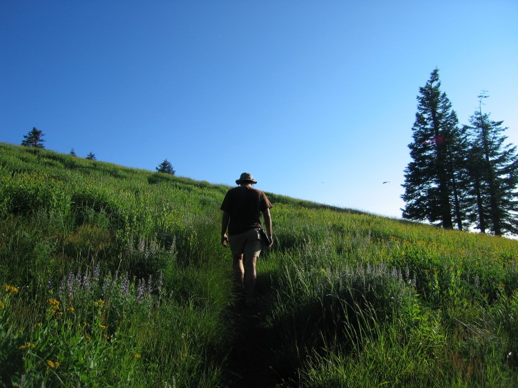
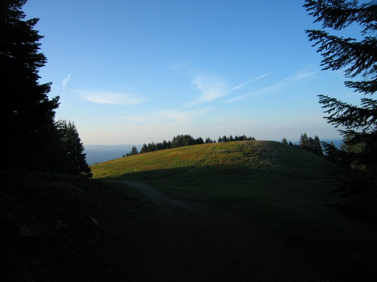
 Hiking up is a near vertical experience.


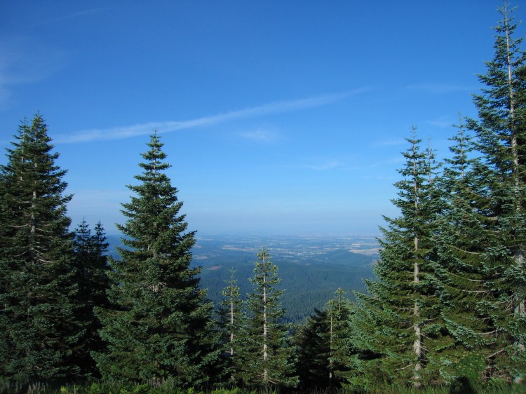
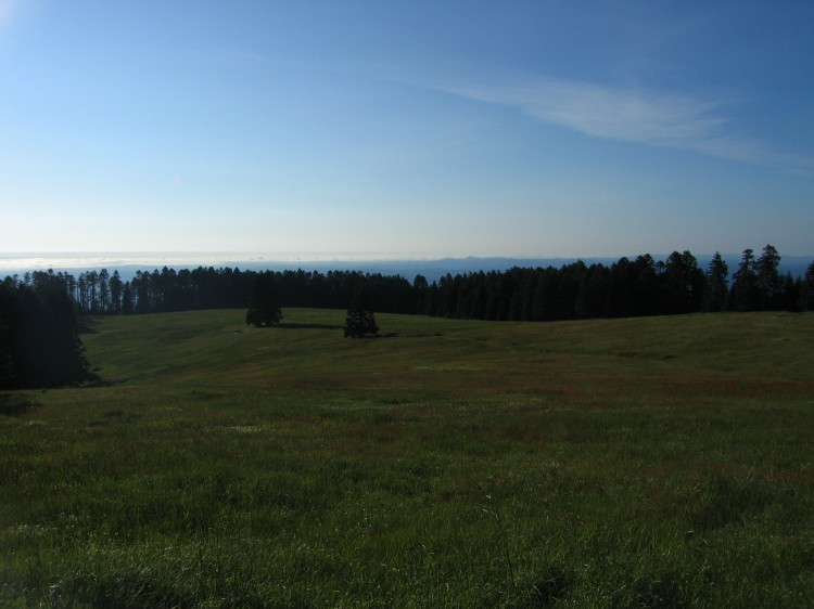
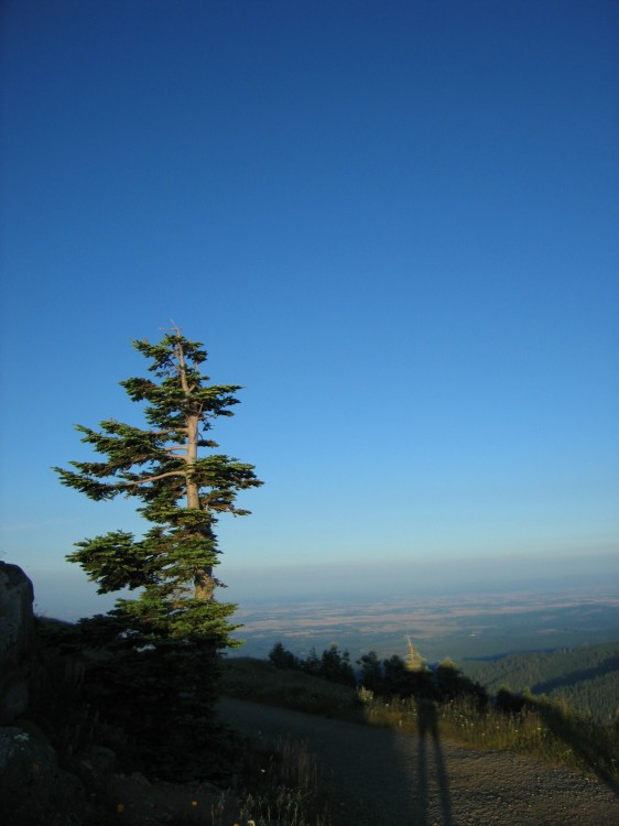
 At the upper parking lot.  Corvallis and Philomath are in the distance.

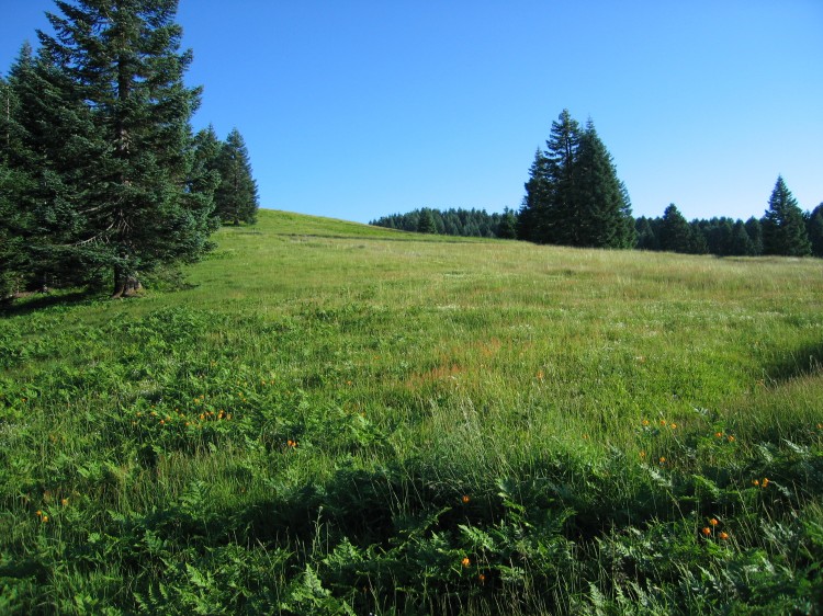
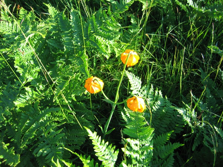
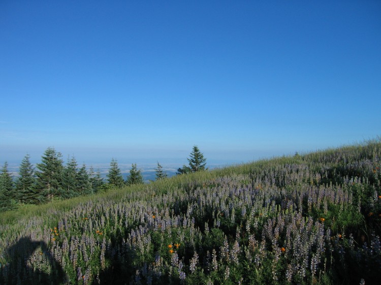
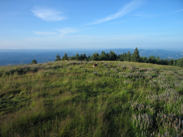
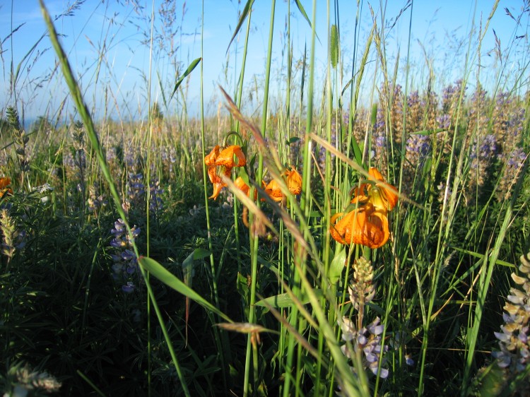
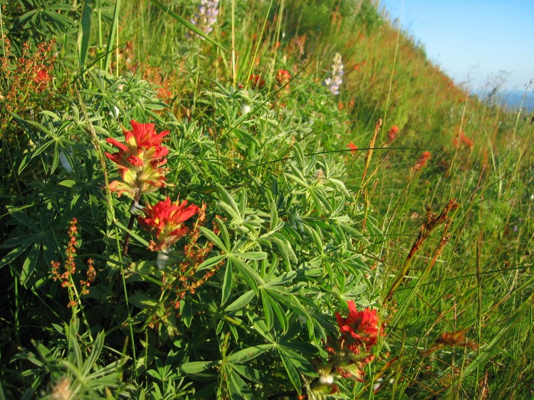
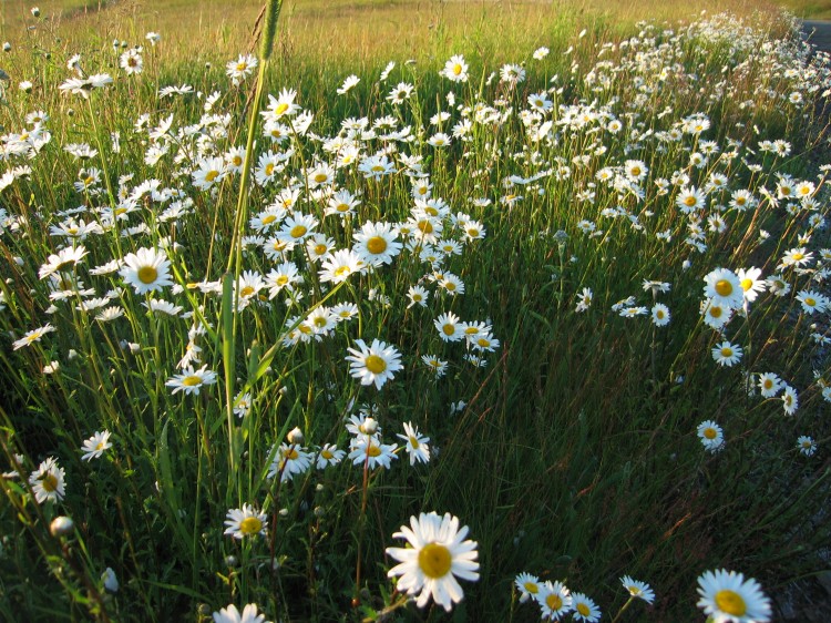
 The wildflowers are still amazing up on Marys Peak.


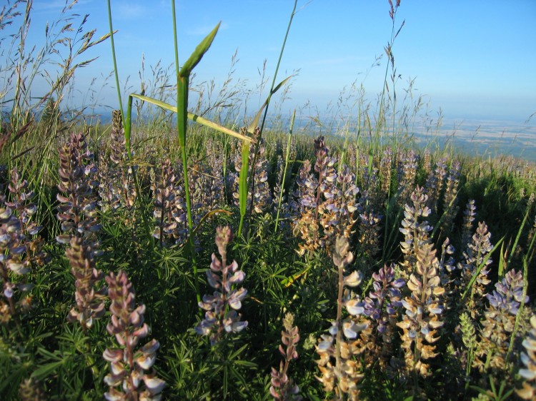
 Lupine abounds at the top.

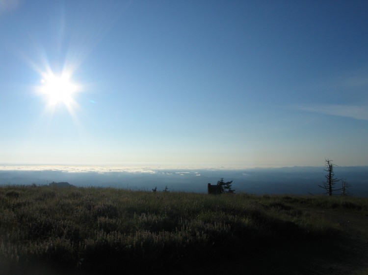
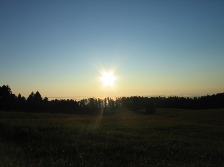
 Somewhere out there is Japan.


 Corvallis is that way.

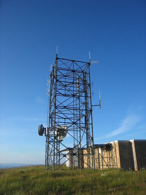
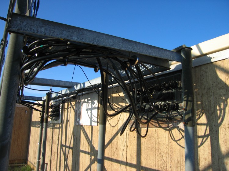
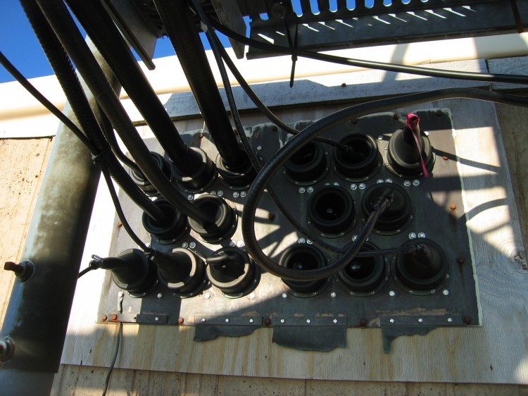
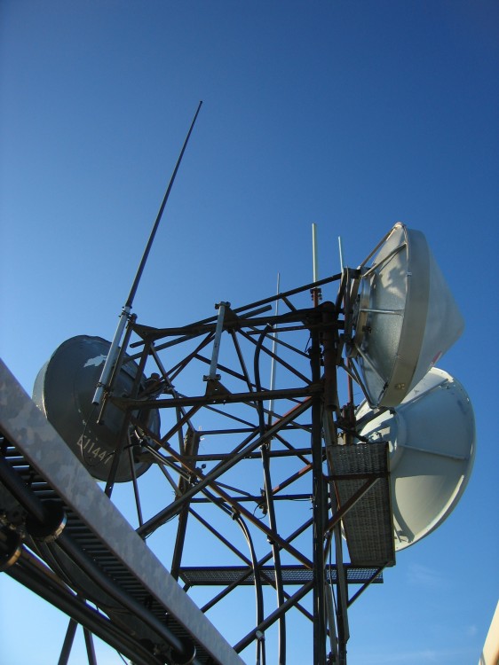
 Transmitters on top.


 Lupine close-up.


My shirt was drenched in sweat when I reached the summit.  I consumed 100 oz of water and about a shot glass worth of salt on the way up.  On the way down I took another quart of water but no salt.


A panorama on the summit.


Hiking down we were able to make it to within a mile of the car before we had to pull out a flashlight.  Not bad for an afternoon hike.  I’m looking forward to going out there again real soon.


Two Feet of Snow on Marys Peak in a 2WD

Yesterday I gave Brent the amazingly awesome idea of going up Marys Peak to check out the new snow.  Usually we would have conned Jesi into using her truck but her truck isn’t in Corvallis at the moment.  Instead, we put some studded tires on Brent’s Honda Accord and headed up the hill.  Yes, this is an Accord.  With a huge sound system.

The first signs of snow were at around the 2000 foot mark.

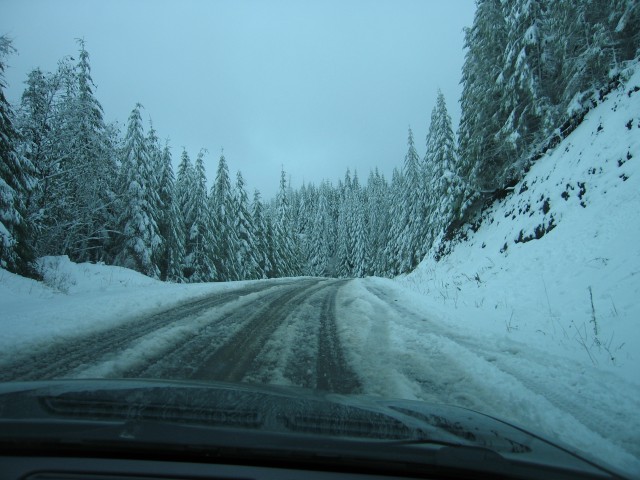
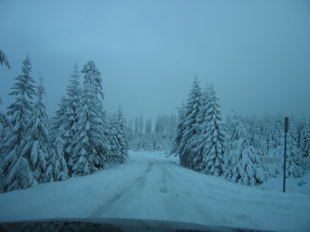
A few hundred feet higher and there started being some more snow on the road.

This car was stuck off to the side in a snow bank at an odd angle.

At the turnoff to Harlan and Burnt Woods.  We would explore that road more later.

This is about where I turned around on Thursday with Christy on my motorcycle.  No way I’d get the bike this high now.

Brent’s loving the adventure.

At the saddle where many people park there cars and walk to the top of Marys Peak from the south.  There were several feet of snow here.  We had a bit of trouble getting the car through.  Lots of backing up and getting a running start at the snow.

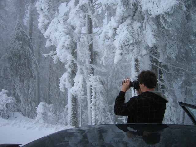
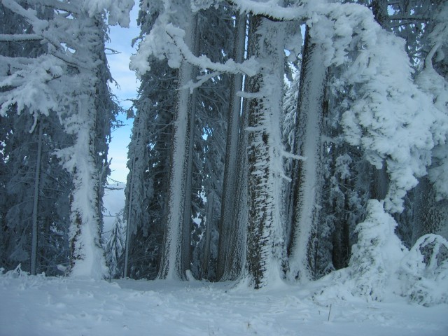
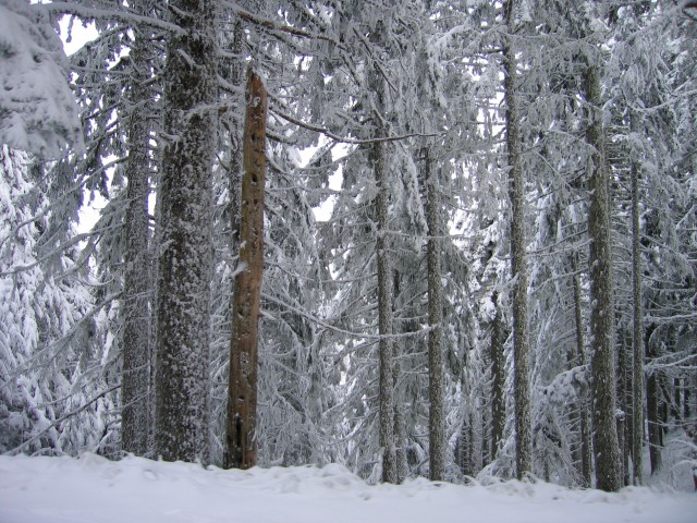
The snow was blasted onto the trees.

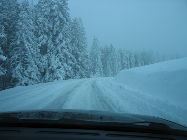
Looking back at the way we came.  Remember, we’re in a 2WD Honda and only had studded tires.

The way to the top.

By the turnoff to the campground.

We had to advance in 50 foot increments, pushing our way through the snow with the car’s bumper and undercarriage.

Getting close to the top.

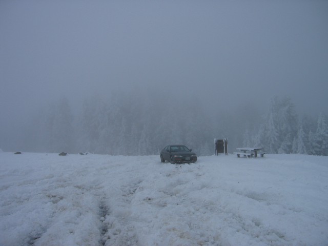
The clouds were socked in at the top of the mountain.

It took us nearly an hour to get to this point from the saddle.

All of those skid marks in the snow are where the car kept digging through the snow searching for pavement.

Finally made it to the top.  I’m pretty sure we were the only four door car to make it to the top yesterday.

We couldn’t get into the parking lot because the ruts were too deep.

Some high school kids had ridden up to the top on an ATV.  They were doing cookies in the parking lot while towing a piece of plywood to ride on.
It was hella cold.

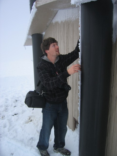
The ice and snow on the side of the vent pipes on the toilets was barely held on.  The pipes were warm from the decomposing fecal matter in the underground tanks.  Brent took the opportunity to play with the unsupported ice.

Yes, he ate some of the poop snow.

It was a little hard to get information from the sign.

Never fear!  You can still pay the forest service use fee!

Looking up toward the summit.  Some skiers were coming down from the top.

Corvallis is out that way somewhere.

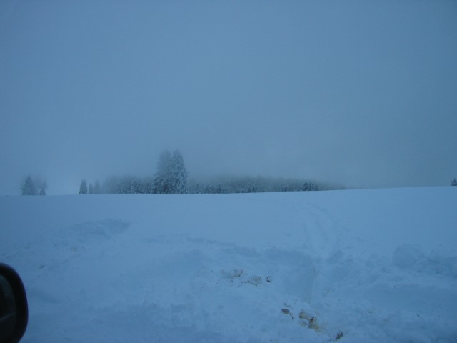
Clouds kept obscuring the view.

One lone, badass car at the top of Marys Peak.

Should have brought my snowboard!

Heading back down.  It was much faster going down than up.

The sun trying to break through the clouds.

Looking southwest.

At the upper gate.  I wonder if they’ll bother closing the gates this winter.

And then we decided to explore Forest Road 30 toward Harlan and Burnt Woods.  It turns out that an Accord can do quite well as a rally car.

Down smaller and smaller, and sketchier and sketchier roads.

Near Harlan.

Finally found a “real road” with a power line next to it.

Welcome to the Oregon Coast Range!  Don’t stop or you might hear banjos!