Today I took Heather down to Eugene to pick up her bike from its winter storage location. After maneuvering it out from between another motorcycle and a boat, we were off and down the road toward the coast. We stopped at Florence to check on Heather’s bike. It had been wobbling funny but we decided it was probably just as a result of some strange ruts in the road.
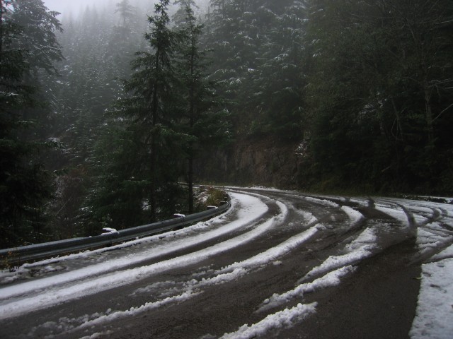
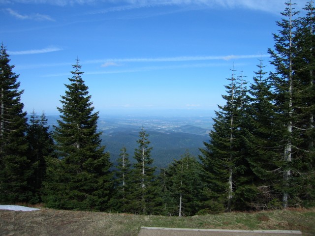
A little further north we stopped for a bathroom and stretch break before continuing to Waldport where we got gas. The ride up to Alsea was gorgeous as always although there was a little bit of traffic that got in the way. Up at Mary’s Peak we decided to go toward the summit but only got as far as the graveled section. Due to some poor communication on my part, Heather turned around and I sat just beyond the gravel section like an idiot expecting her to come around the bend at any moment. It’s probably a good thing we didn’t go up to the top though as Heather’s jacket is partially mesh and she was quickly becoming a Popsicle.
In total the ride was 256 miles. Or maybe less. Google Maps seems to want to make our route go through the logging roads on the west side of Marys Peak. Ignore that deviation…
I got gas twice. The first stop in Eugene was 2.281 gallons at 108.7 miles for 47.67 mpg, half of which was with a passenger. The second stop was in Waldport where I took on 1.653 gallons at 89.5 miles giving me a great average of 54.14mpg. When I’m easier on the throttle and not pounding up the twisties I get MUCH better fuel economy. Funny how that works 🙂
Our Route Map


