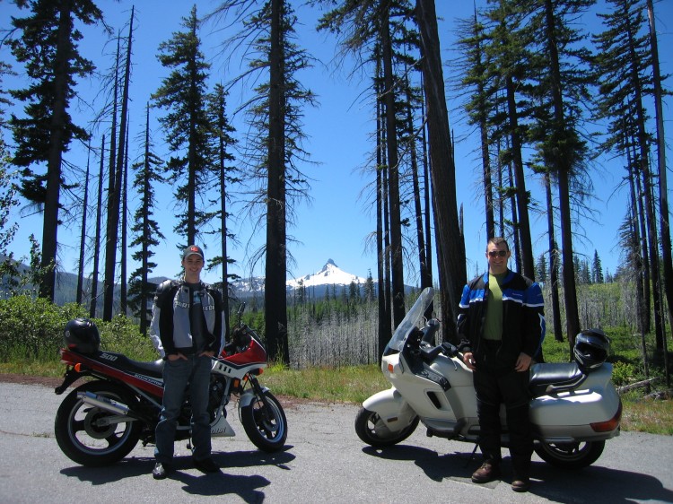
On Monday Pete and I met up in Stayton for a long ride to Bend and back. Here we are at a pull-off just over the crest of the Cascades with Mount Washington in the background. The trip in total was about 370 miles give or take. A route map is at the very bottom of this page.
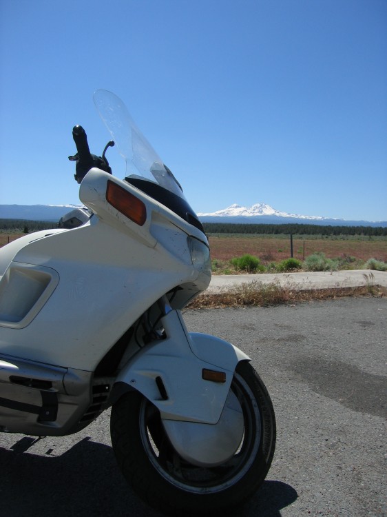
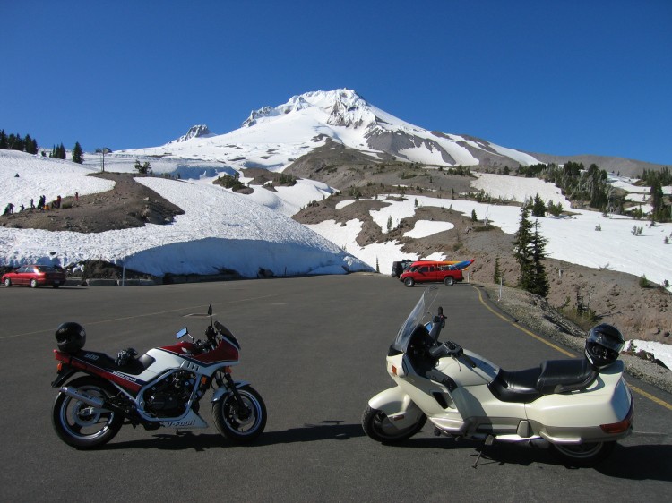
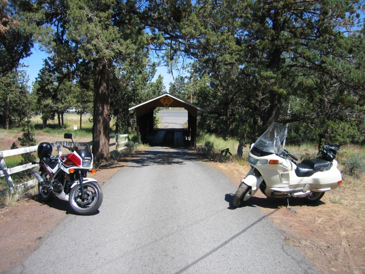
Requisite glamour shot of the PC800.
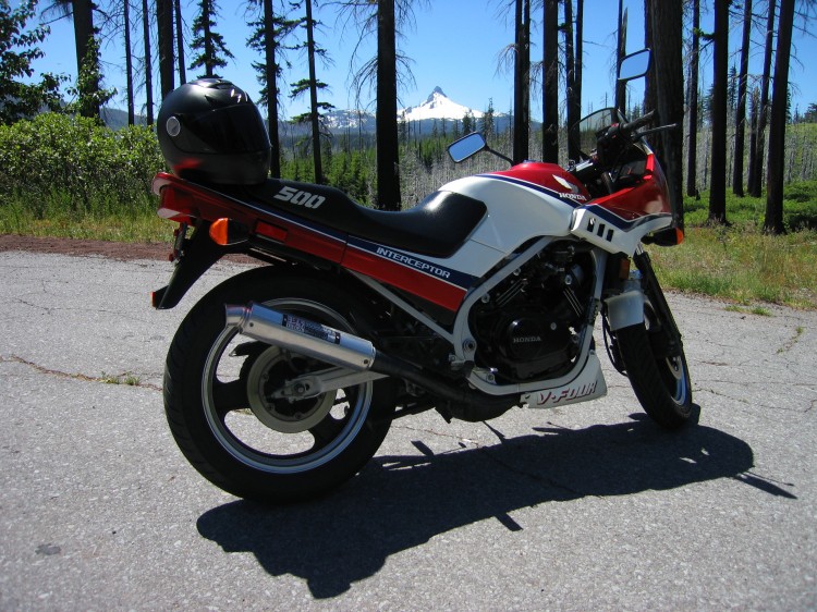
And of the VF500.
At a pull-off halfway between Sisters and Bend. Broken Top, the Three Sisters, Mount Washington, Three Finger Jack, Black Butte, and Mount Jefferson are all visible in this panorama. Click through for the full-size version.
More glam shots.
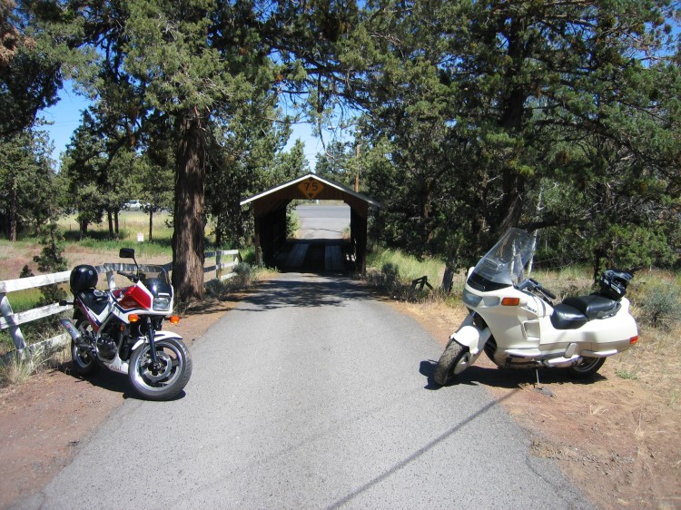
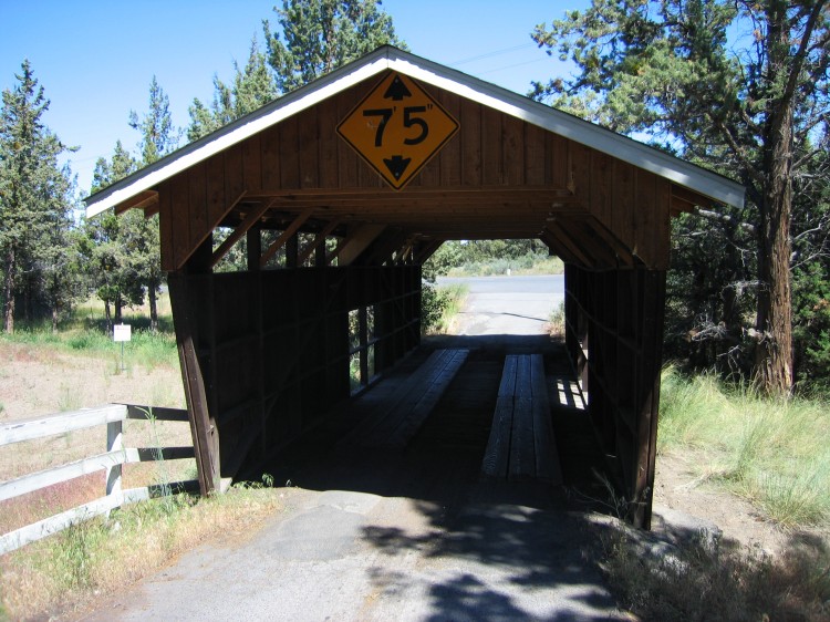
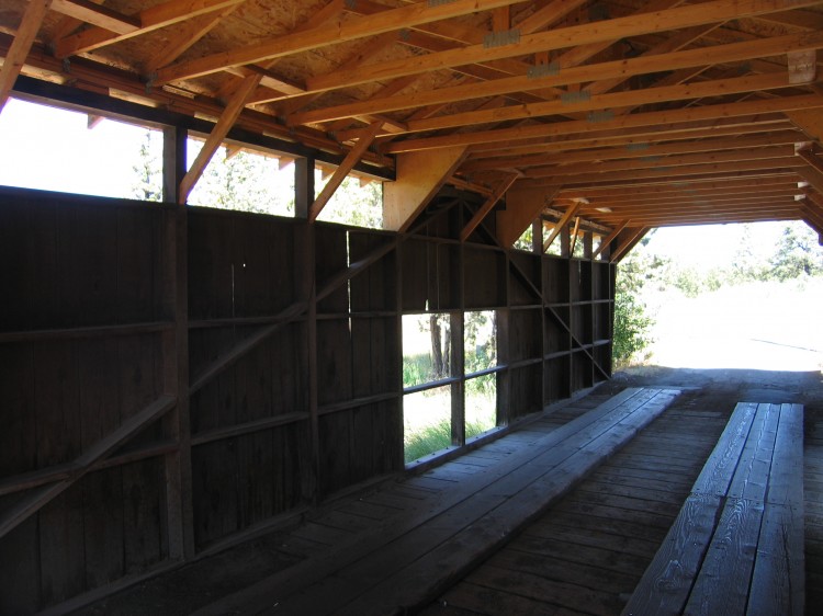
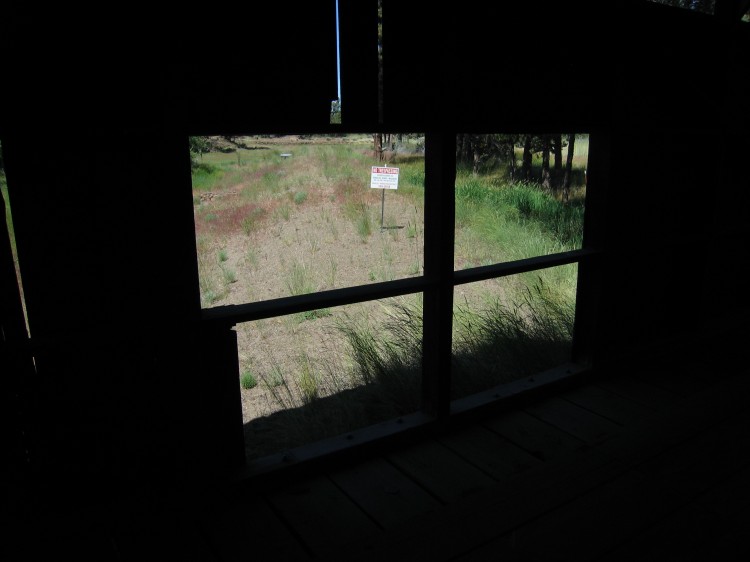
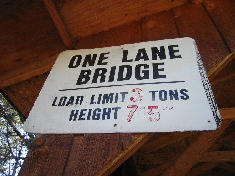
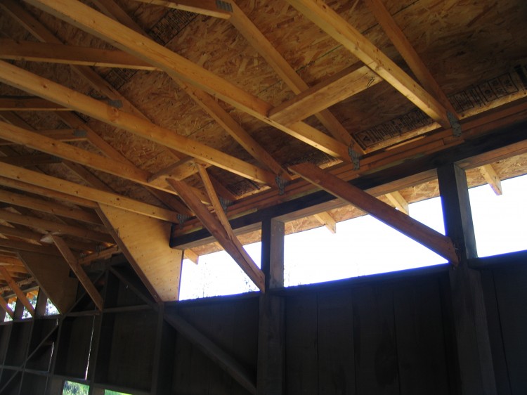
We stopped at the Rock O’ the Range Covered Bridge (the whole original purpose of the ride) for a photo or two for my Oregon Covered Bridge series.
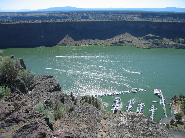
Then we went onward to Lake Billy Chinook where we took this panorama. Broken Top, the Three Sisters, Mount Washington, Three Finger Jack, Mount Jefferson, and Mount Hood are all visible in this photo.
Lots of people out having fun on the lake.
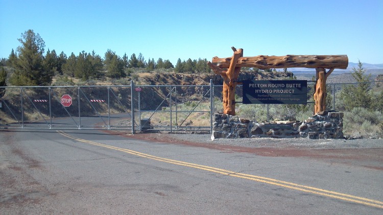 We tried to ride across the Round Butte dam but it turns out that this road is now very much closed. Yet another victory for the terrorists I suppose. It’s a real shame because the road on the other side of the dam is excellent.
We then proceeded through Warm Springs to Timberline Lodge on the flank of Mount Hood.
Mount Jefferson to the south.
Incognito riders parked illegally in front of Timberline Lodge.
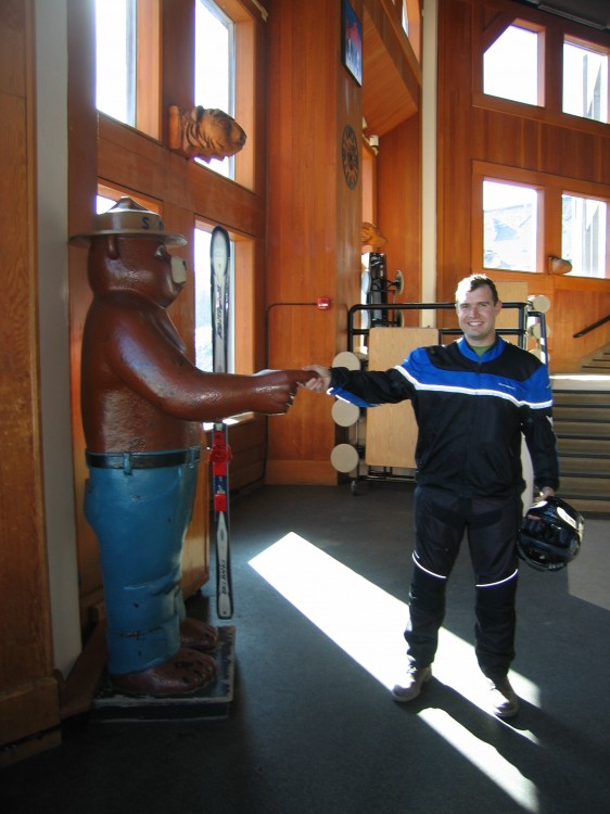
Smokey’s finger was too irresistible.
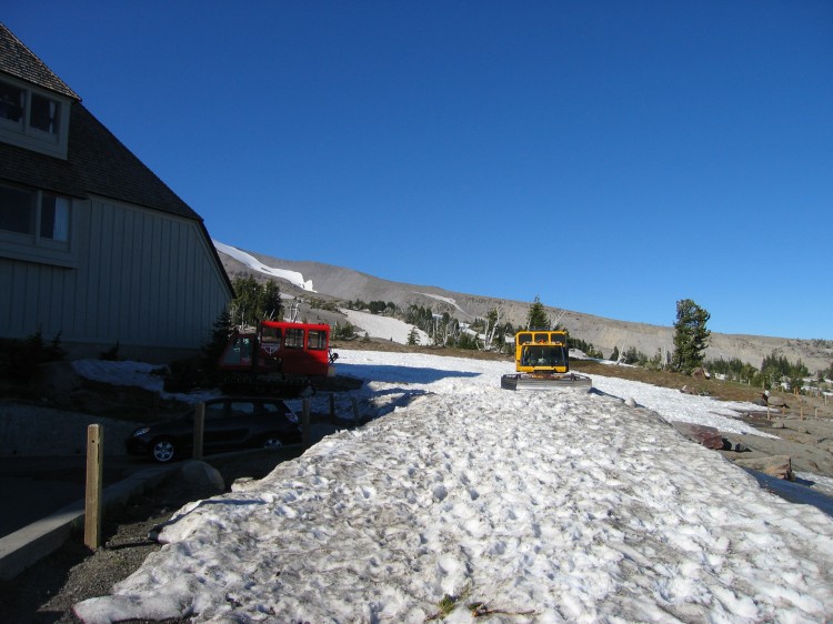
Some snowcats waiting for the return of winter.
