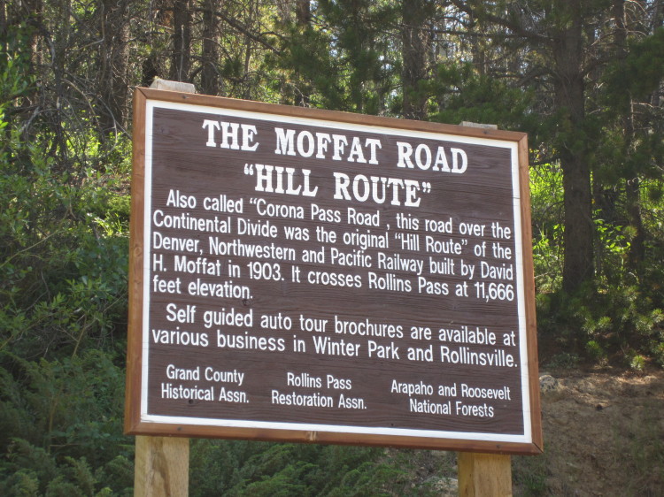
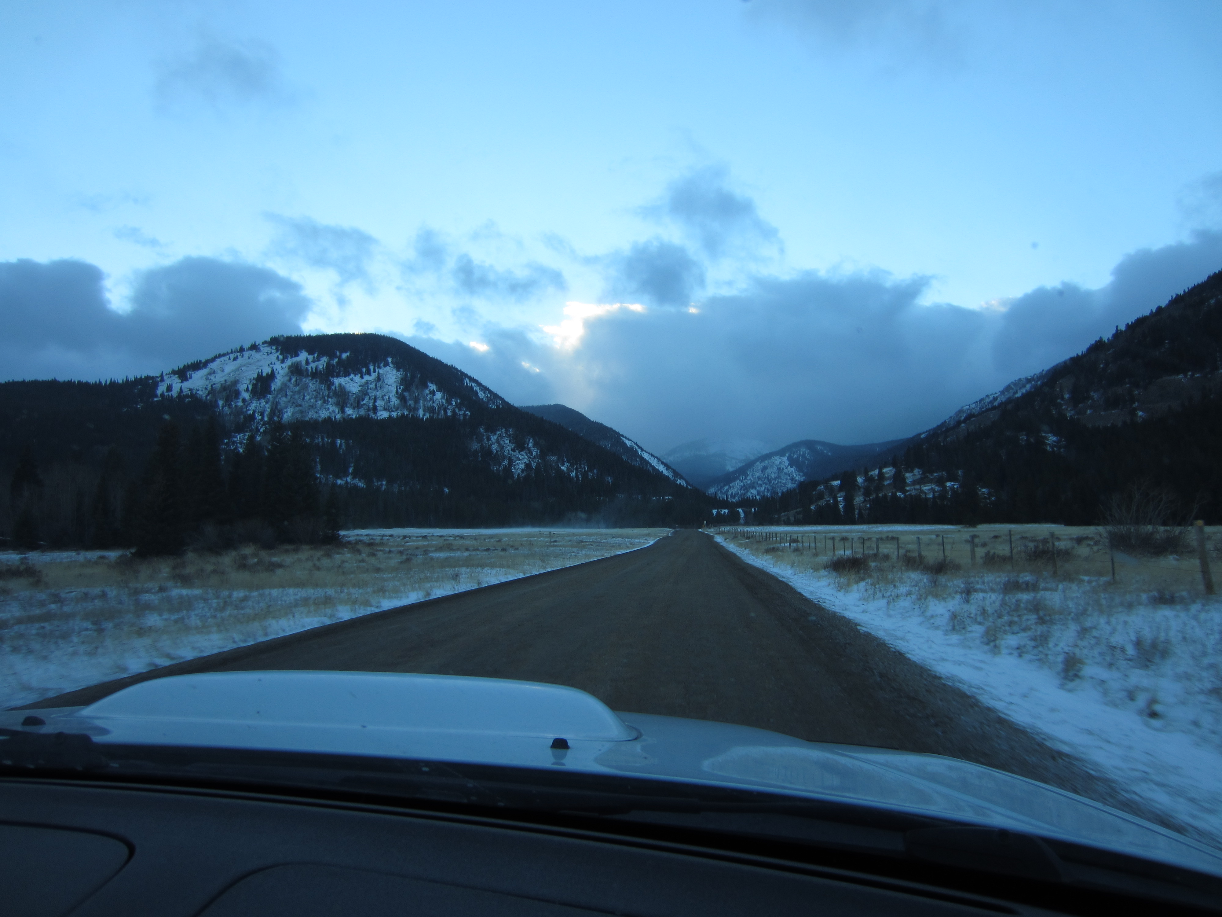
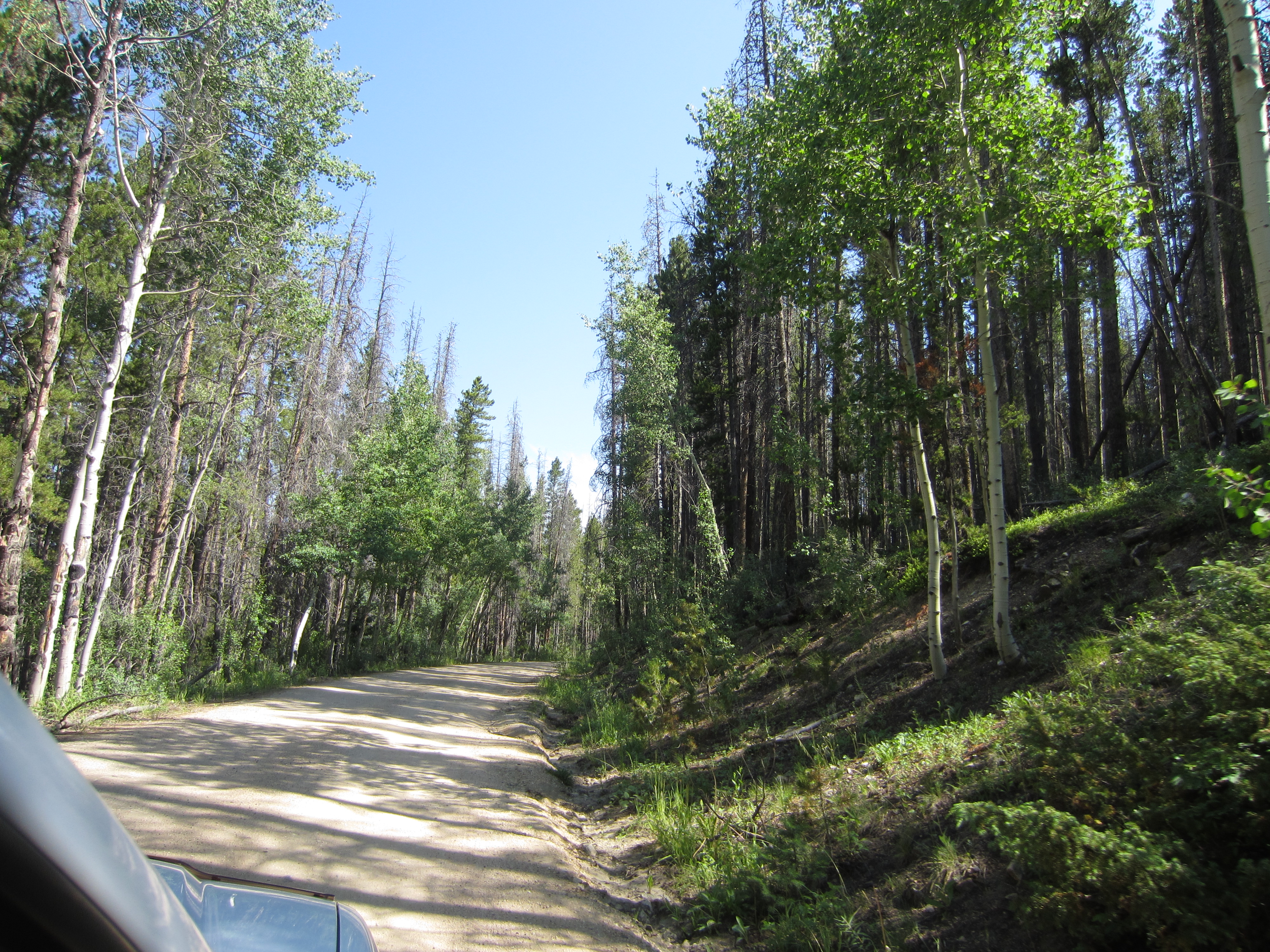
Before heading back over the mountains to Golden, Heather and I decided to take a drive up Corona Pass Road. The tourist information office in Winter Park told us that the road is passable in a 2WD sedan. We figured it would be no problem in my lowered Subaru Forester XT. There is even a sign close to the sign pictured above that states the route is passable in a 2WD passenger car. After driving the road, I have significant doubts about being able to get a sedan up to the top of the pass.
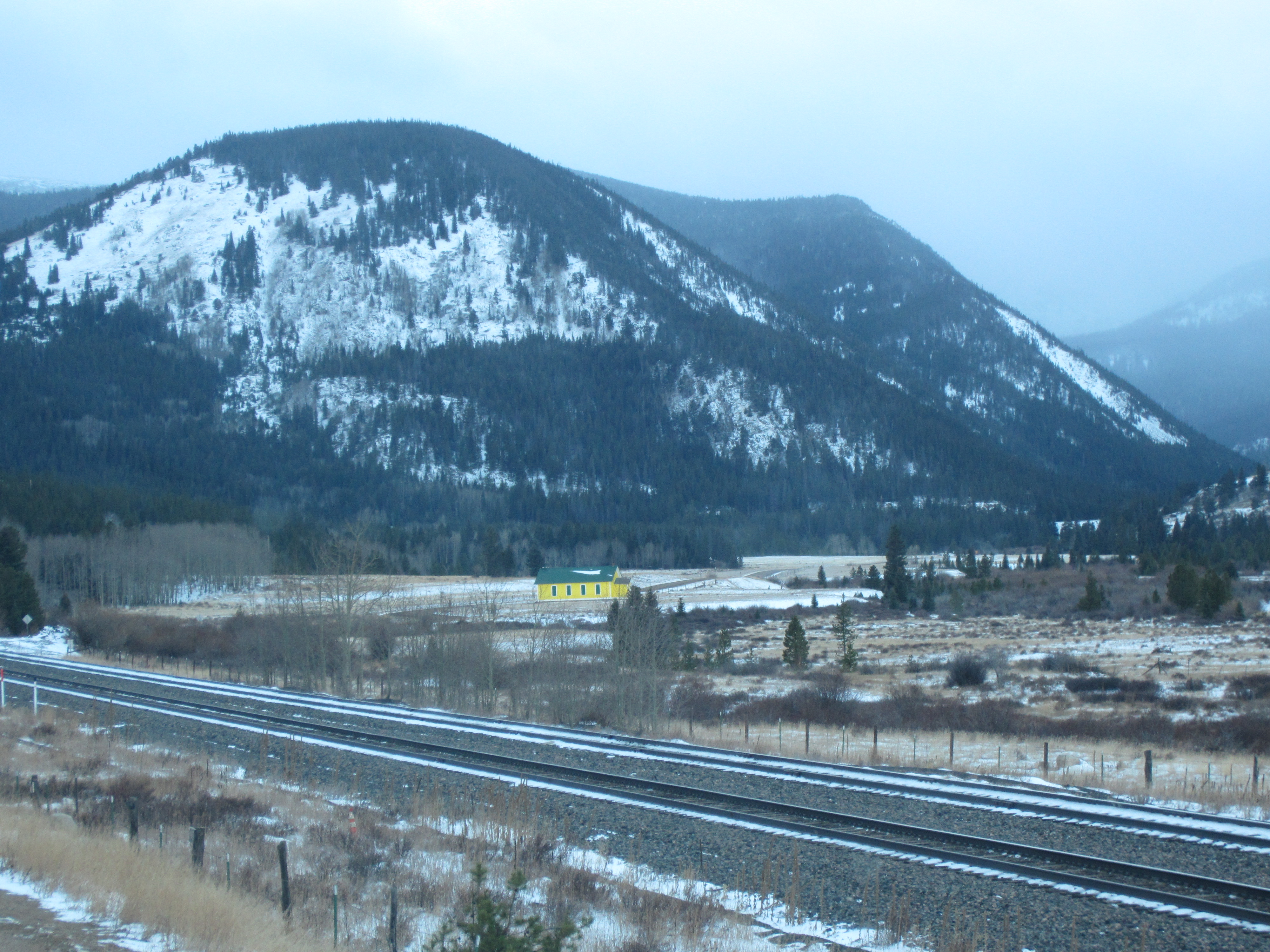
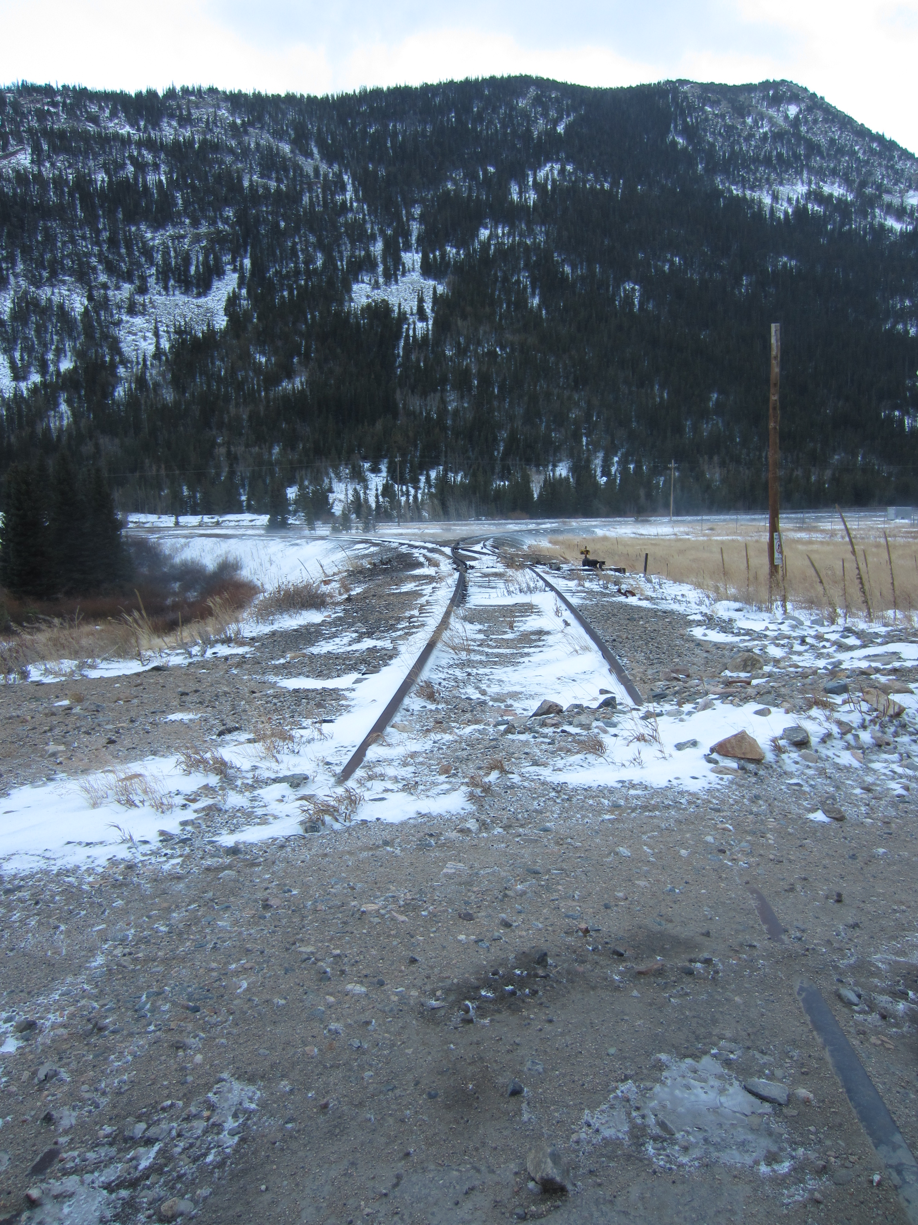
The road follows the old rail bed of the Hill Route of the Denver, Northwestern, and Pacific Railway.
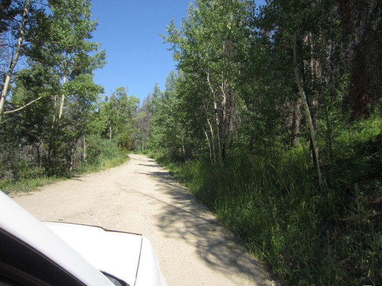
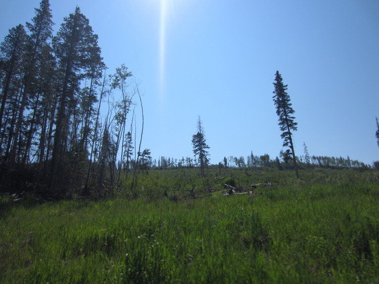
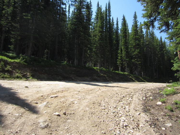
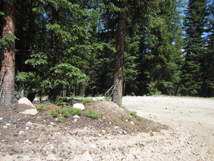
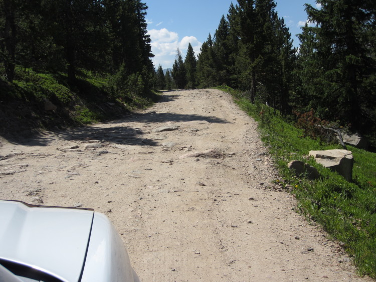
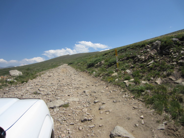
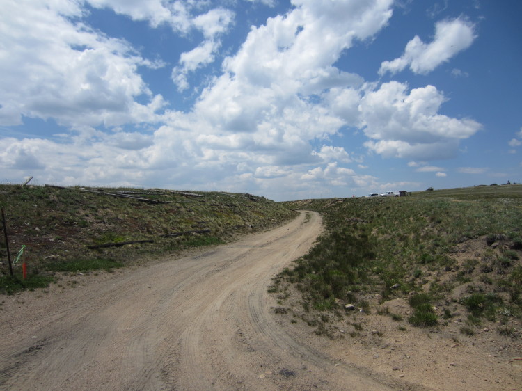
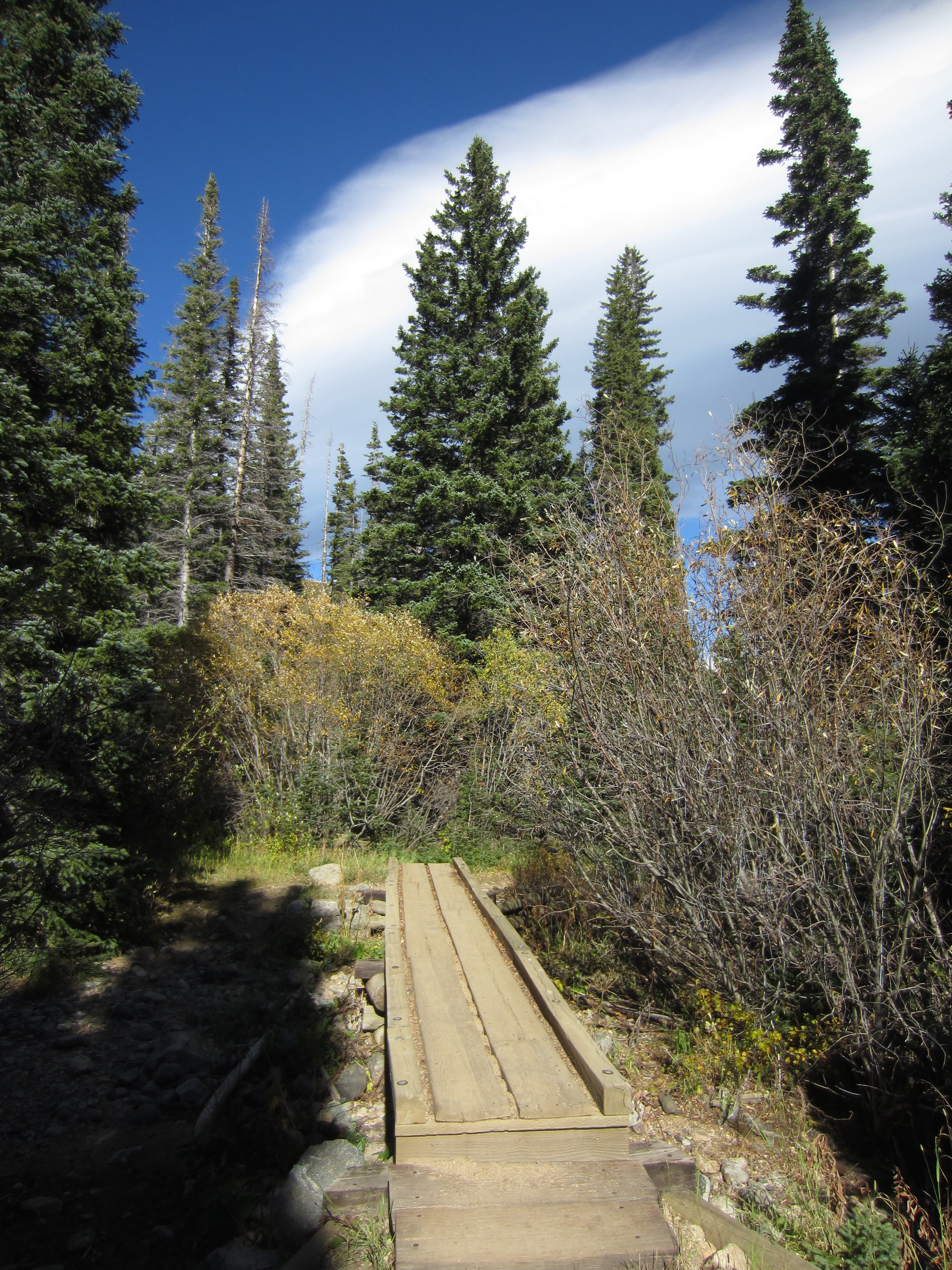
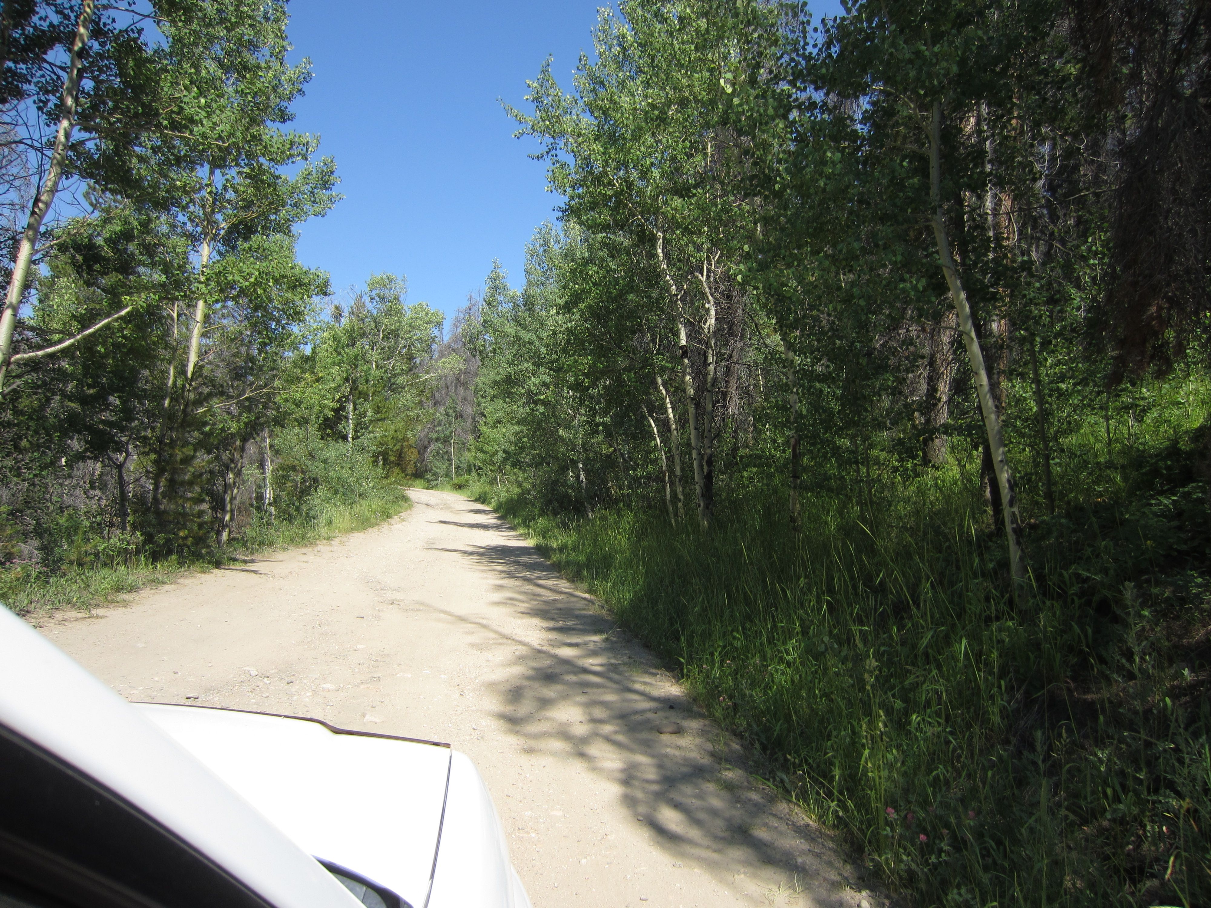
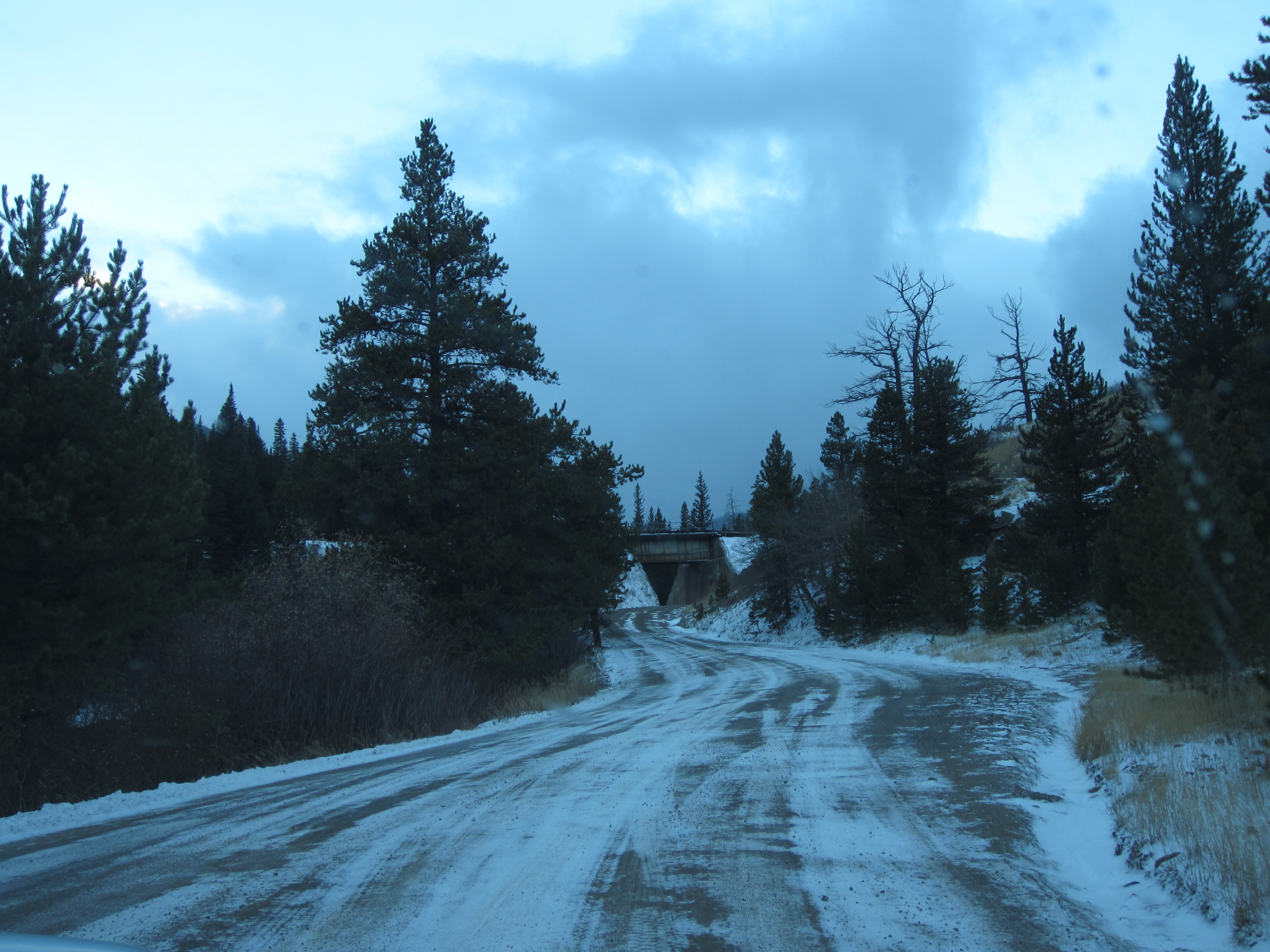
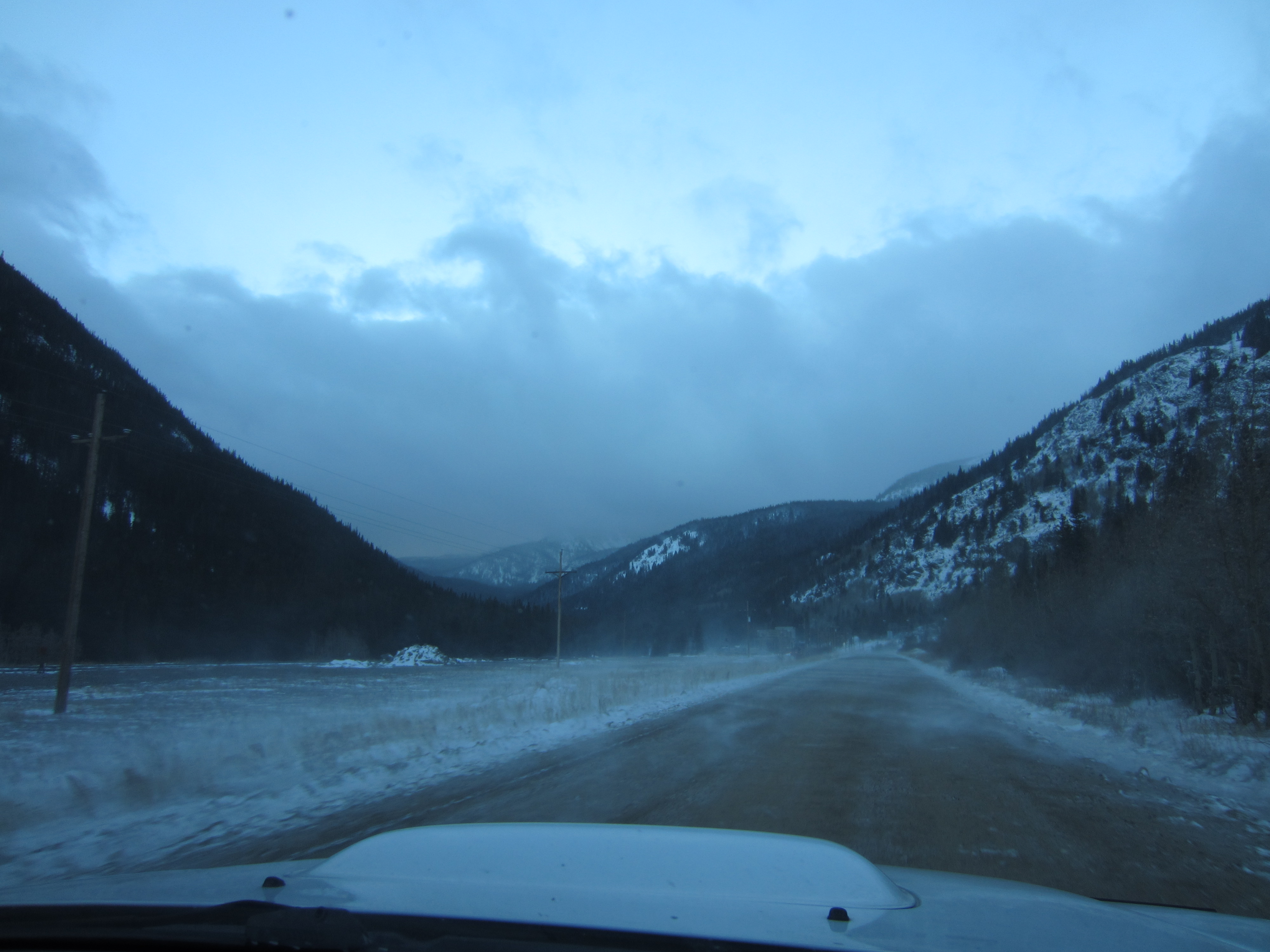
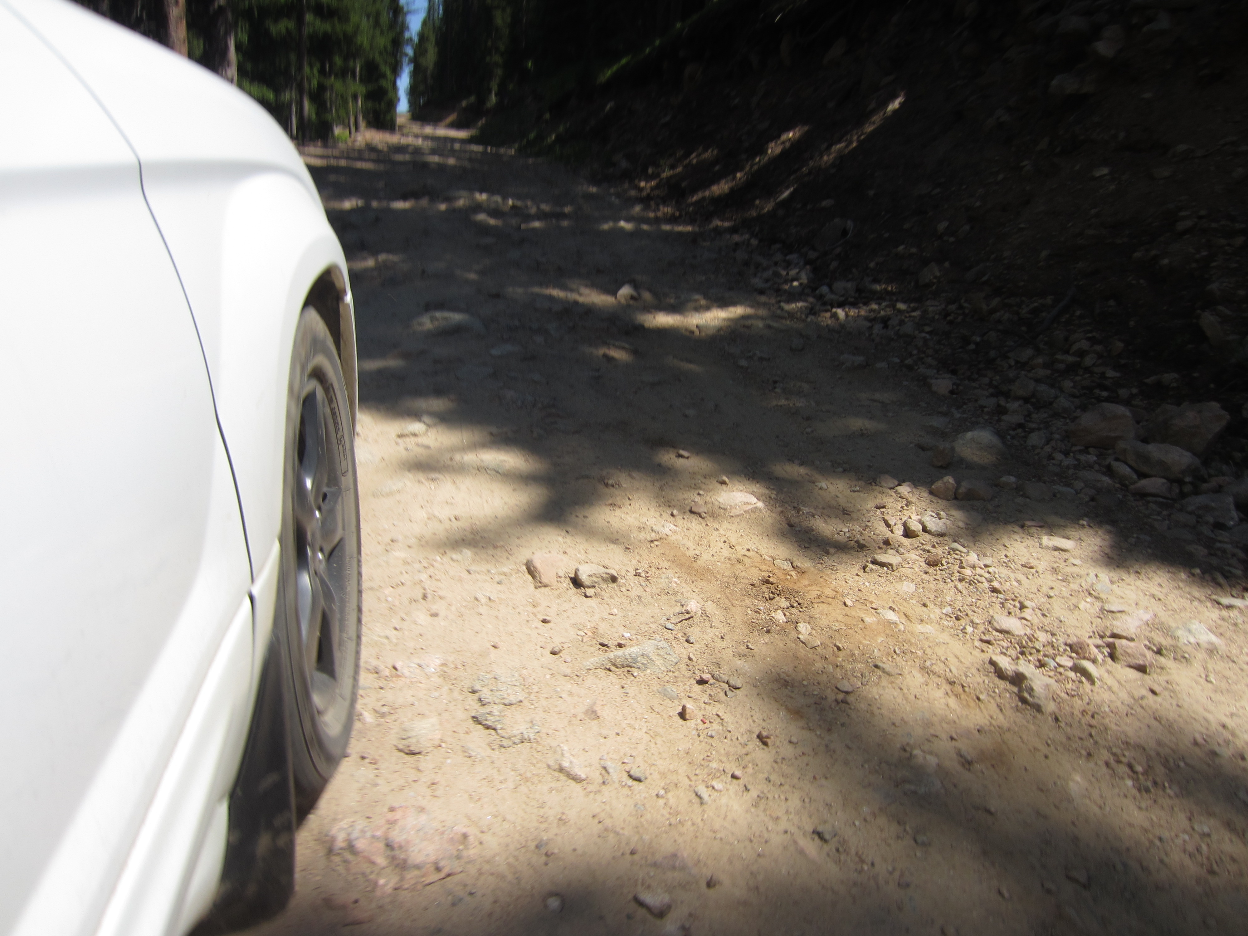
The lower couple miles are pretty mellow.
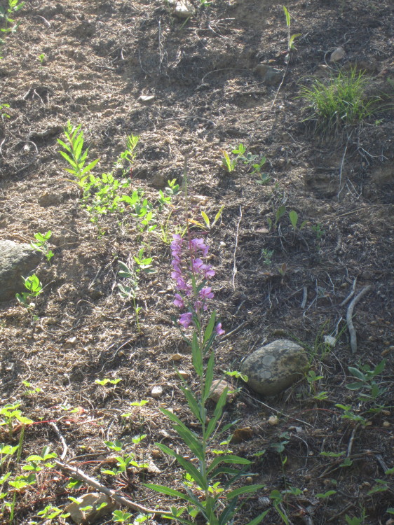
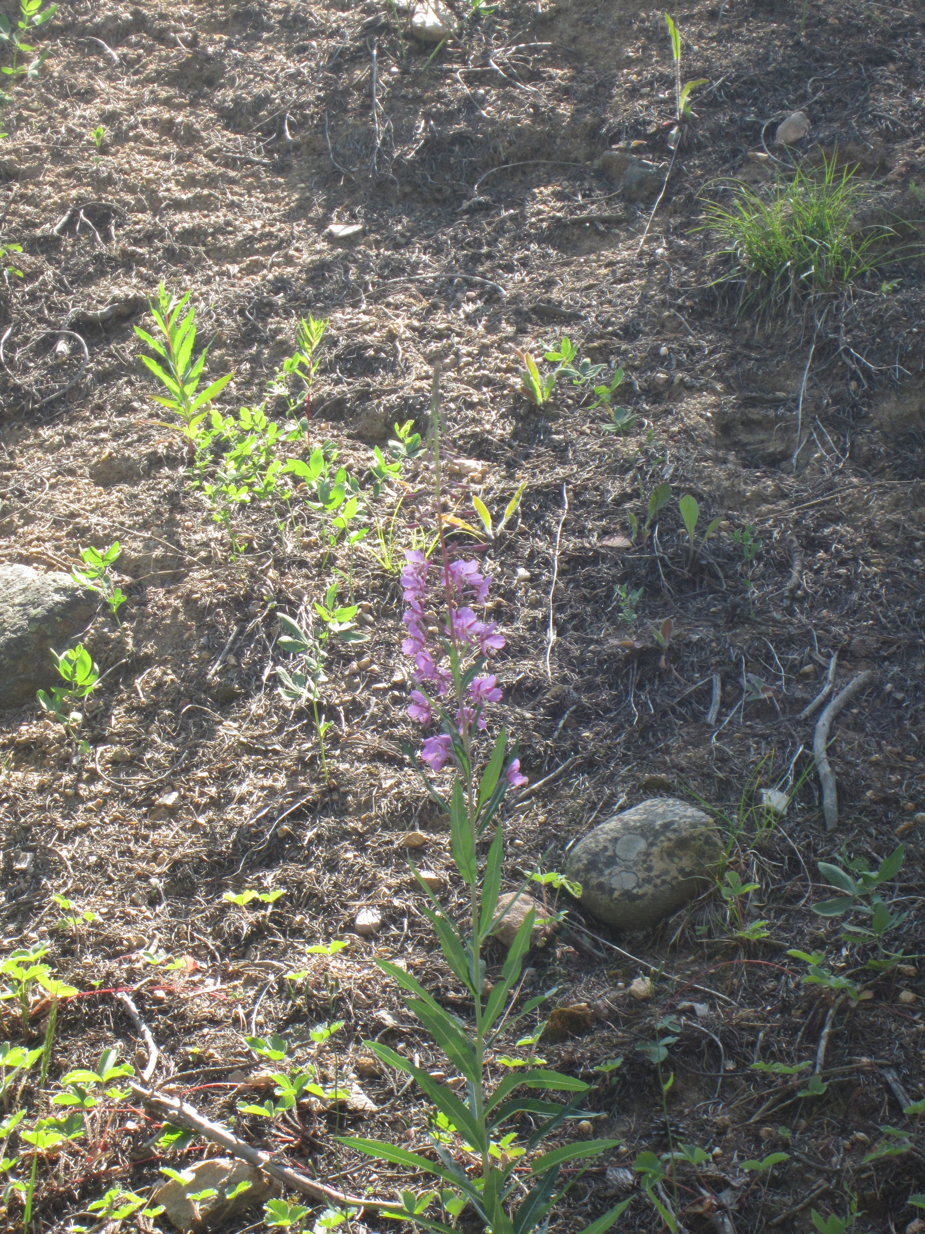
Fireweed along the road.
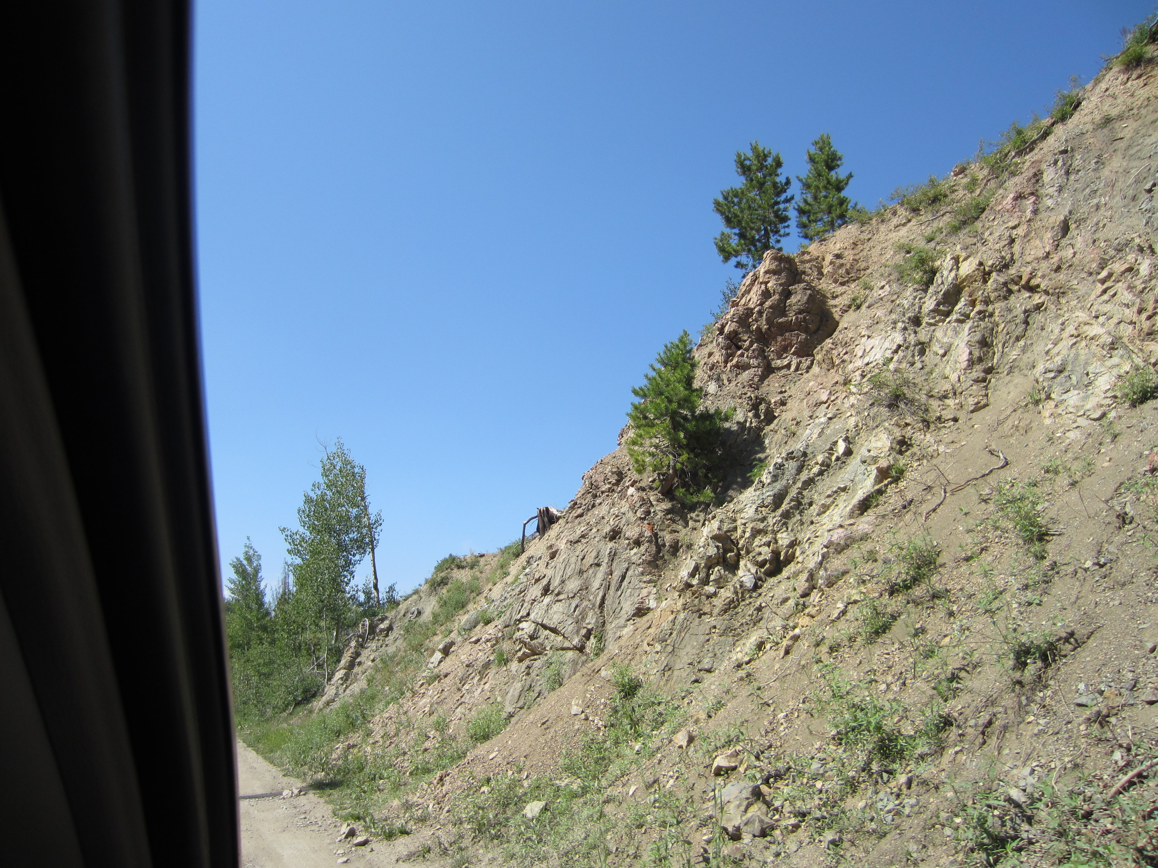
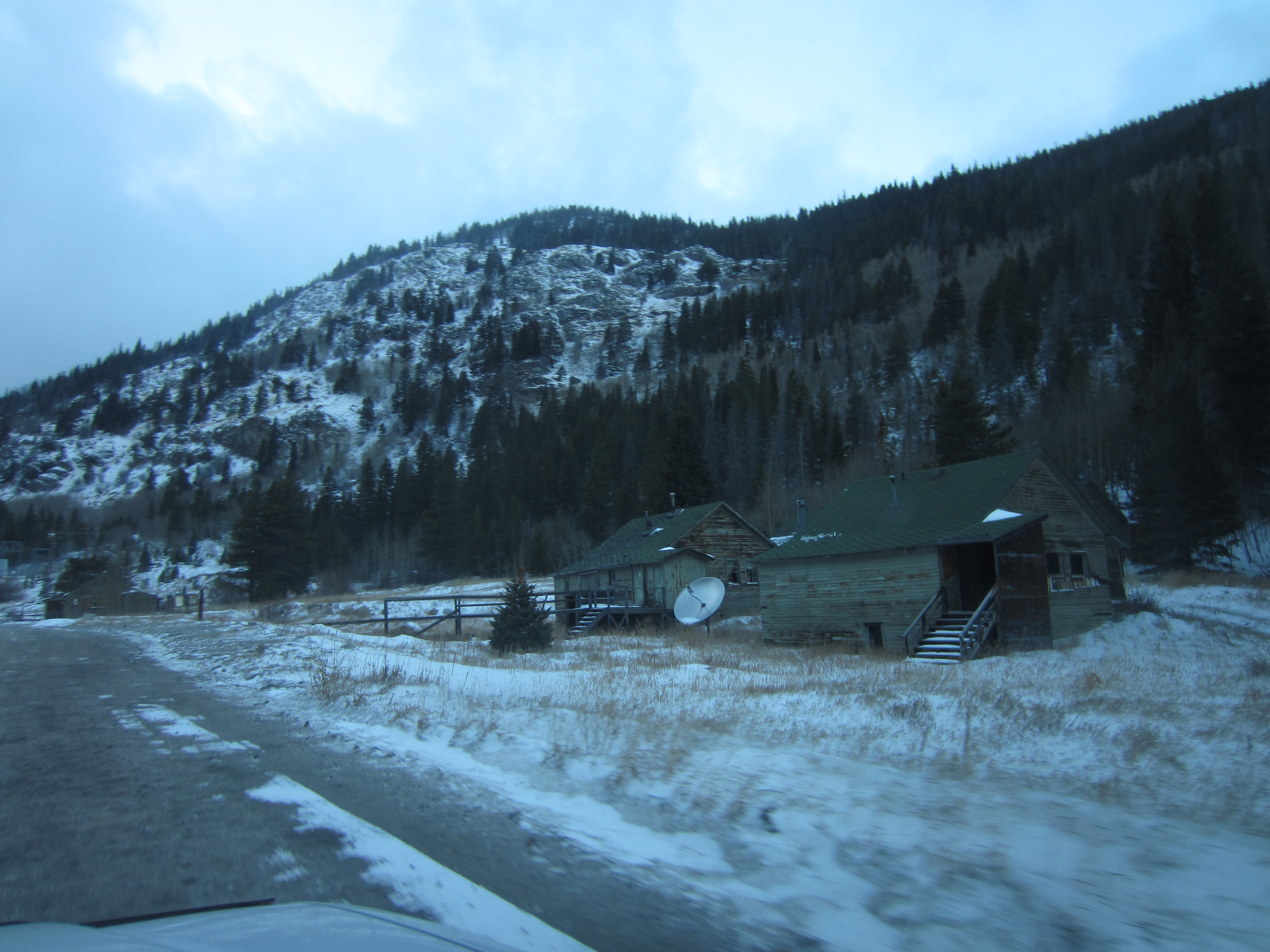
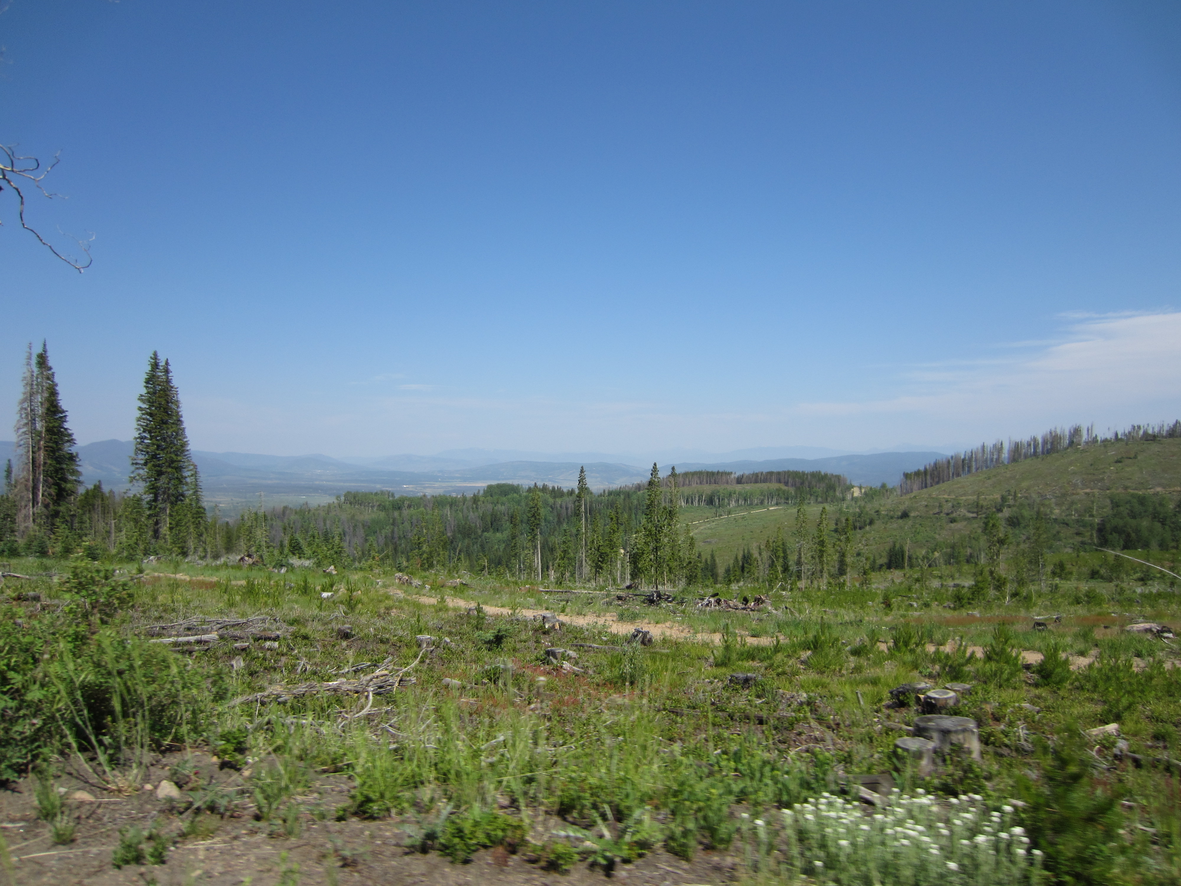
Some logging has gone on in the lower parts of the timber stands.
Going through an old rail cut.
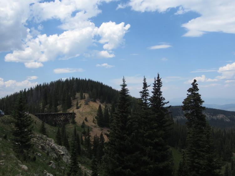
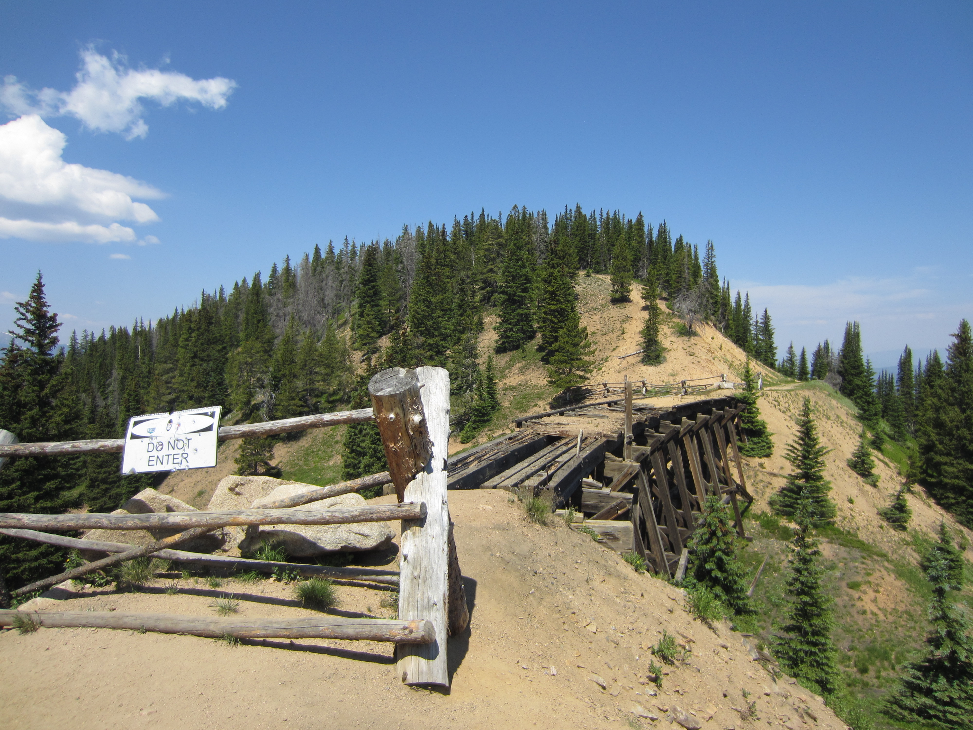
Up and around a tight switchback onto a cutoff road that bypasses a partially collapsed train tressel.

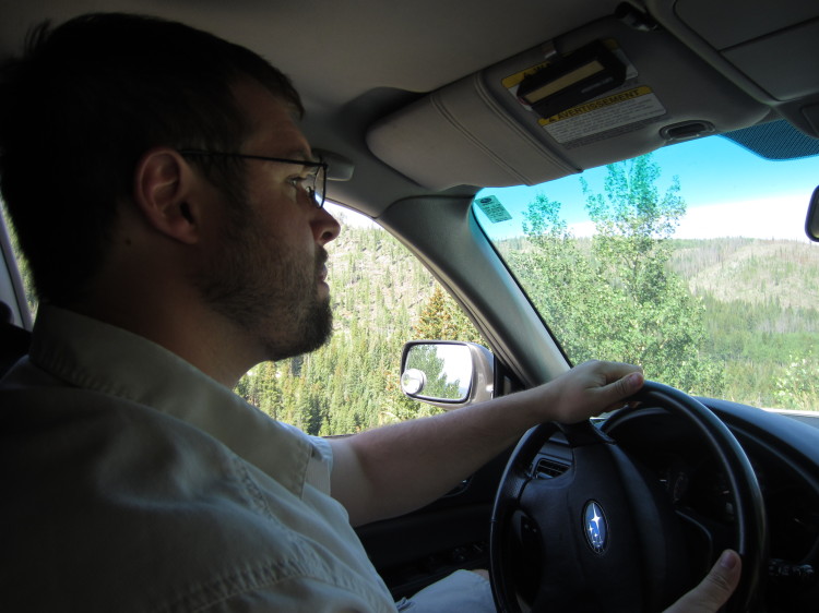
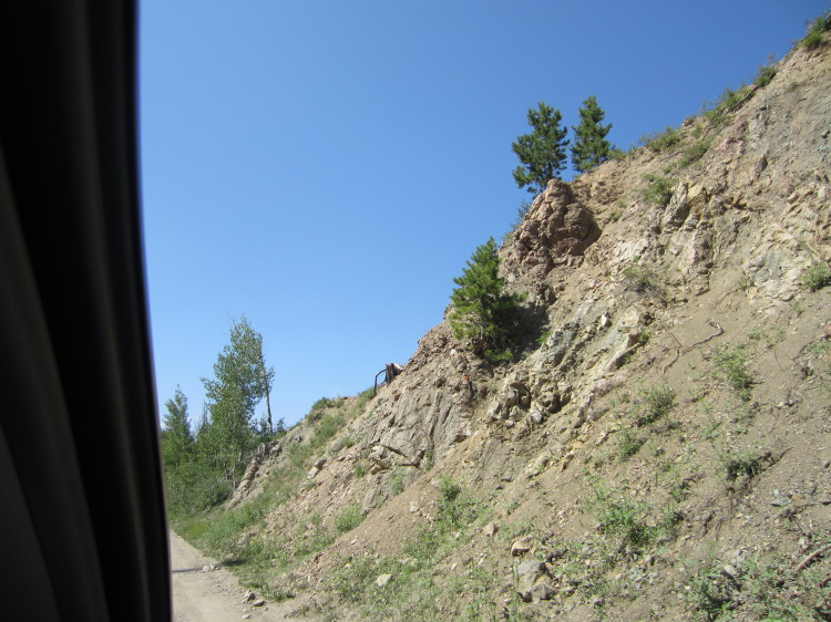
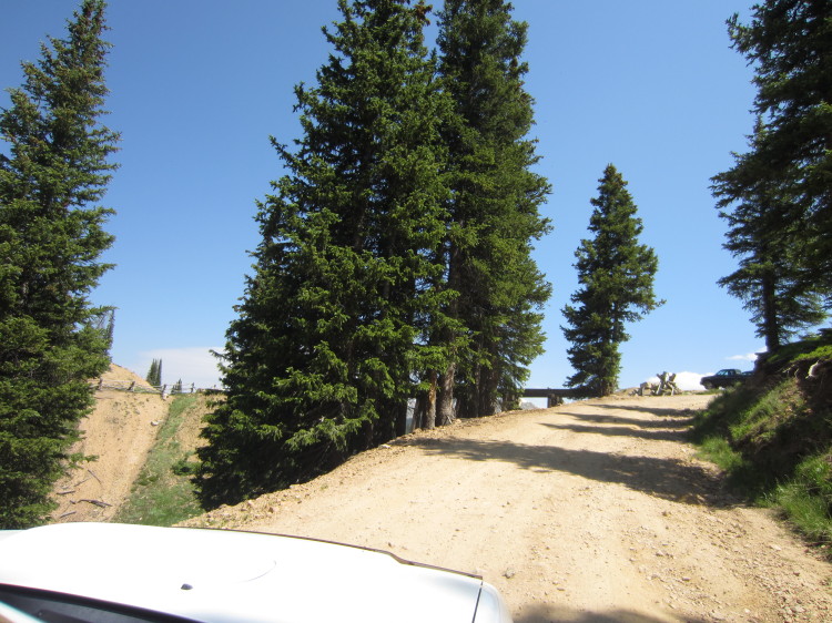
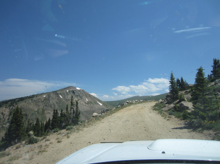
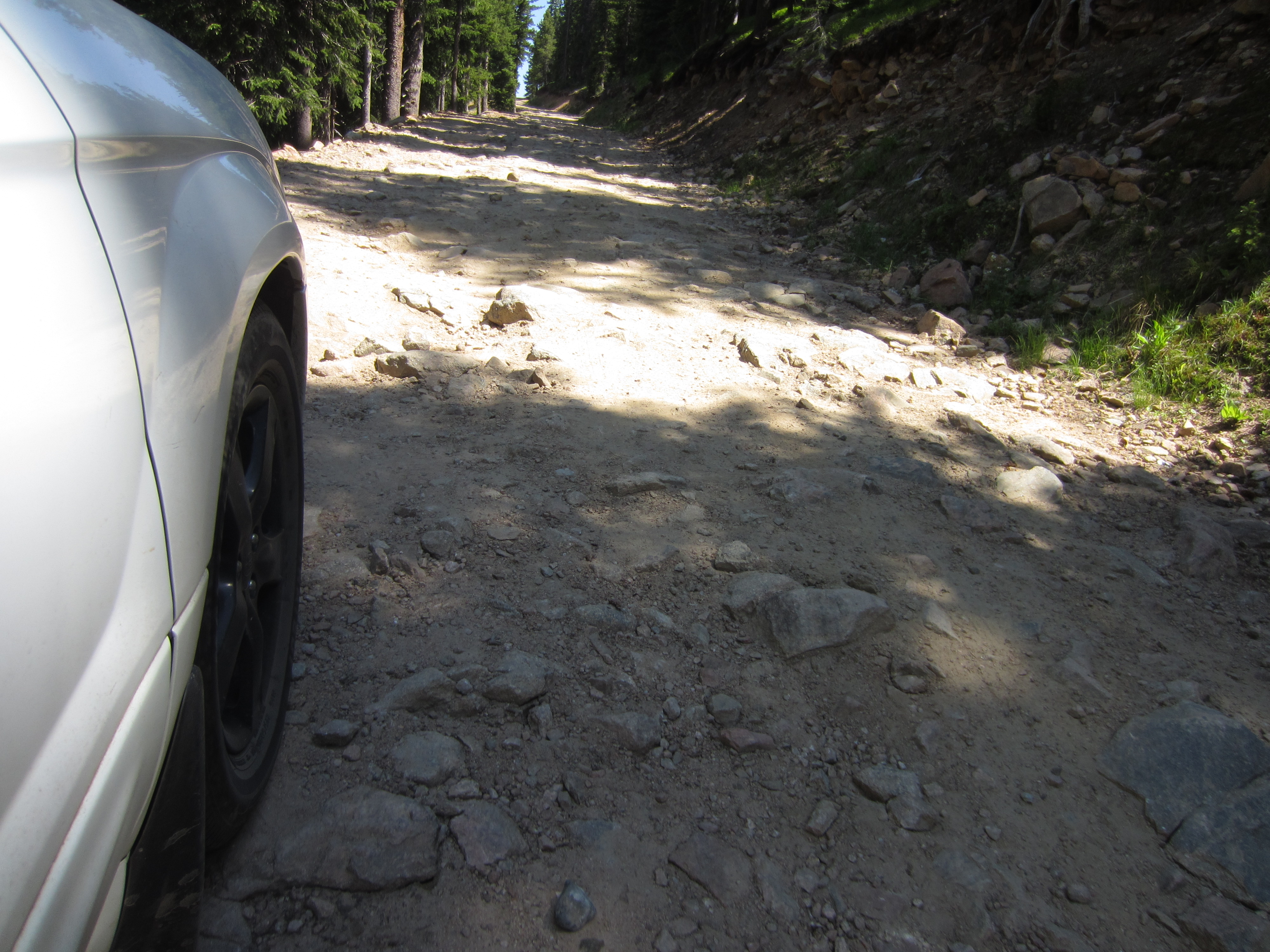
This portion of the road becomes much rougher and I had to carefully pick my way around all the loose rocks that were big enough to damage the undercarriage of my Forester. For reference, I have between 4 and 5 inches of ground clearance with the WRX suspension that’s attached to the car.
Picking my way through a tricky section. If I had a higher clearance Subaru (like the newer ones with 9.5 inches of ground clearance), it wouldn’t be any problem.
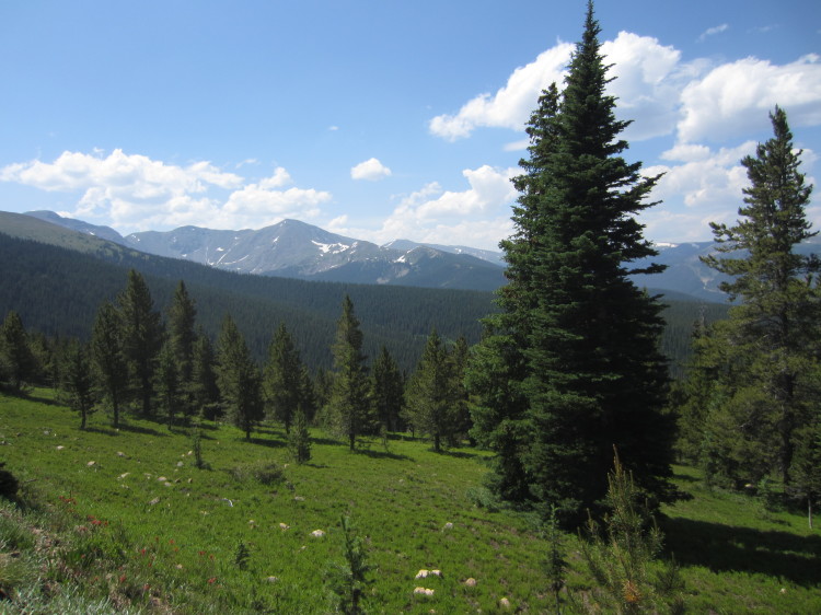
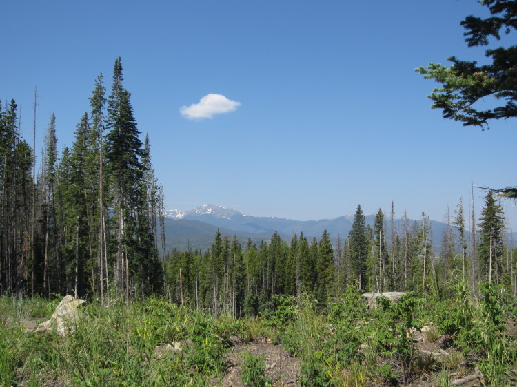
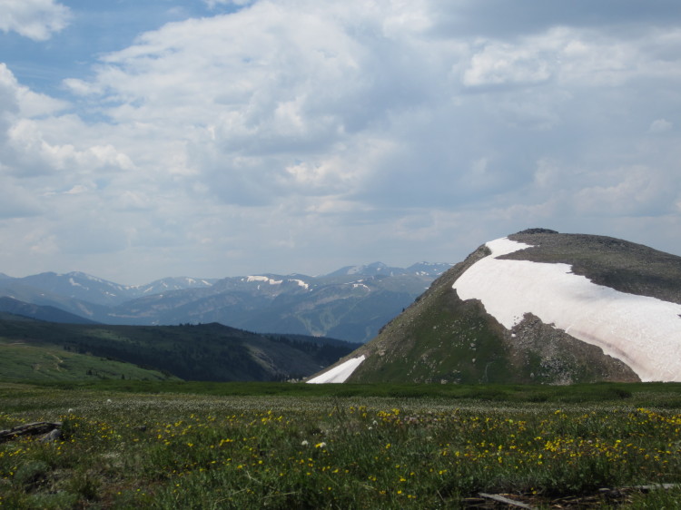
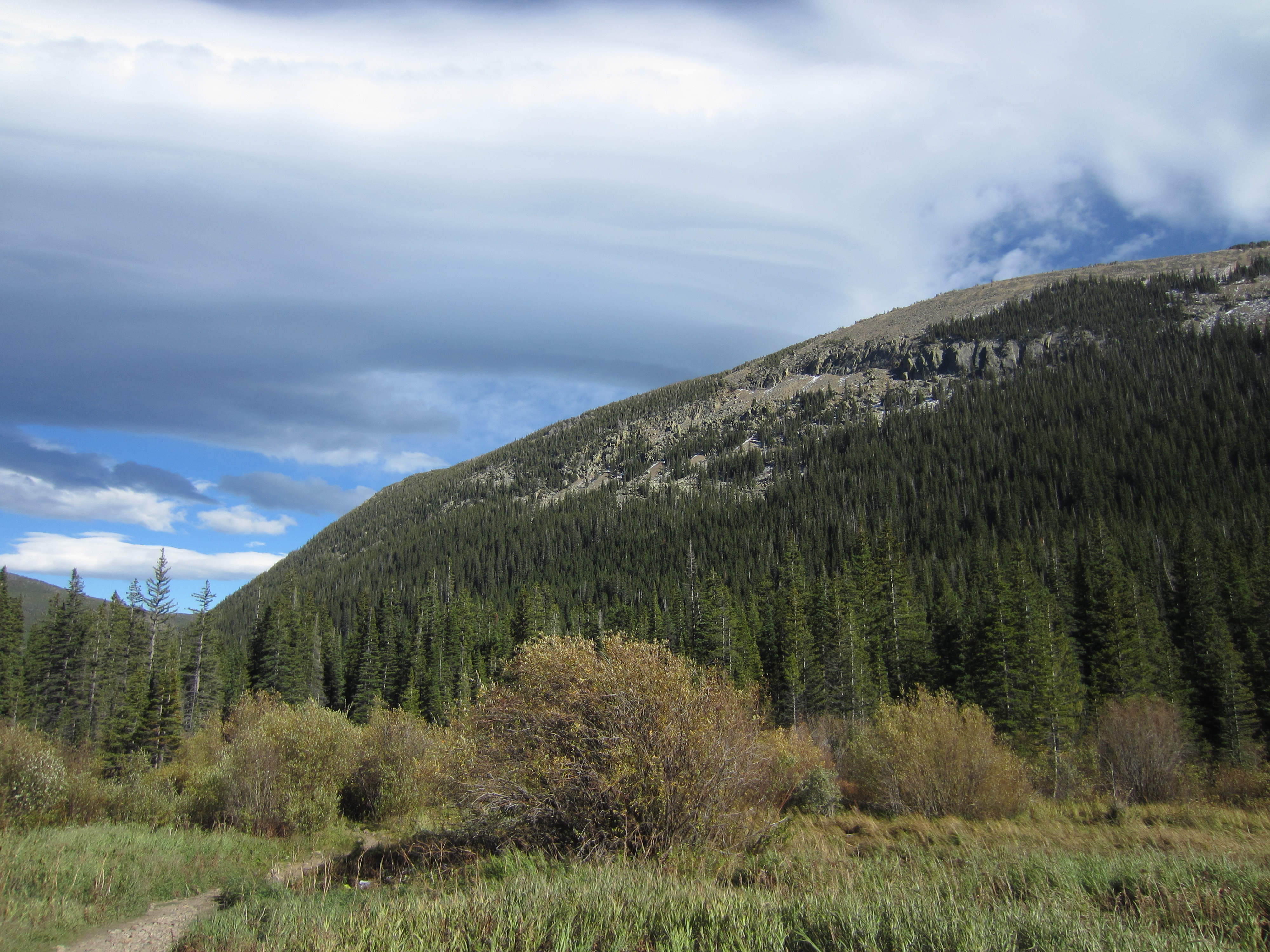
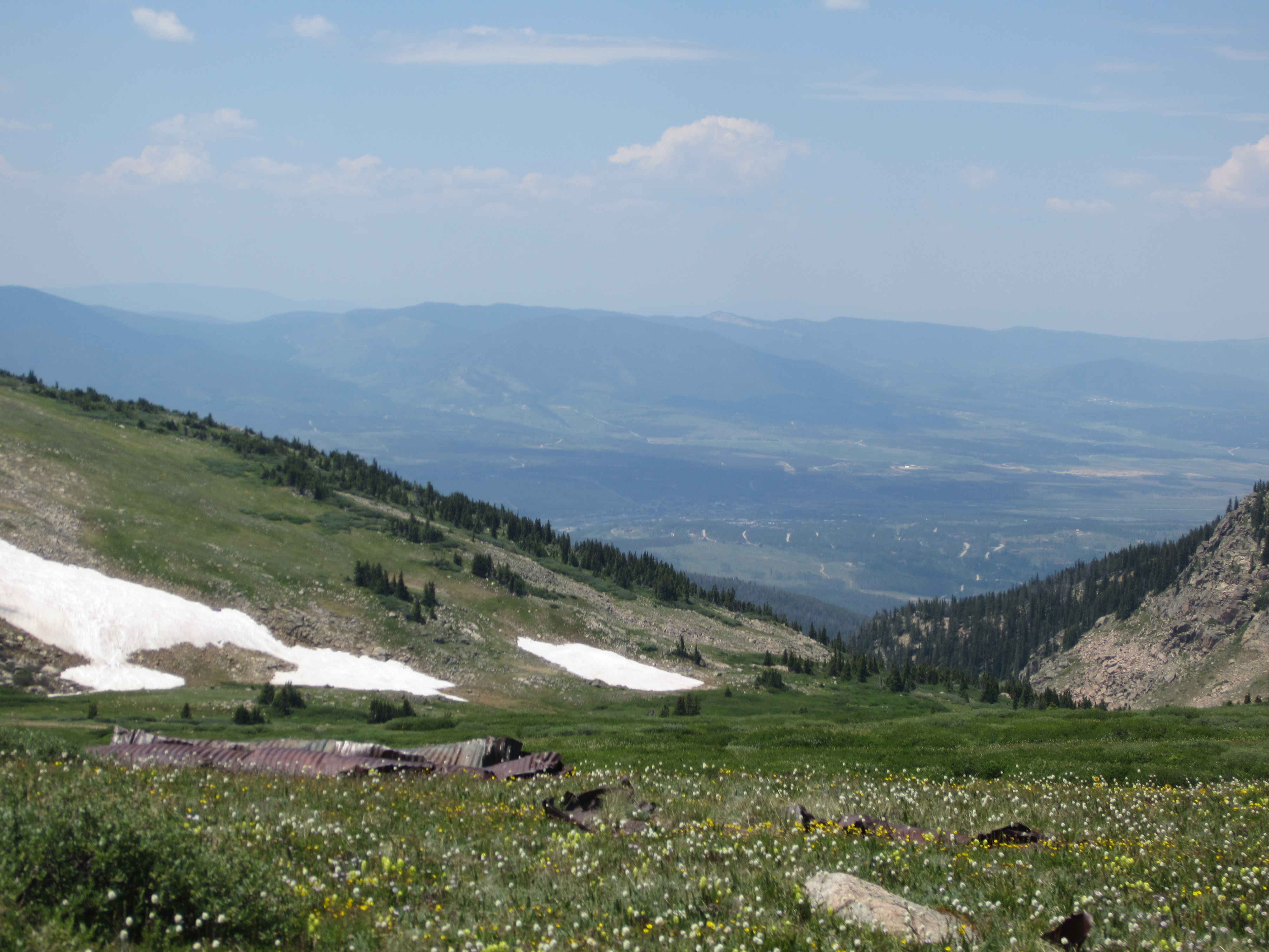
Big mountains start to loom close.
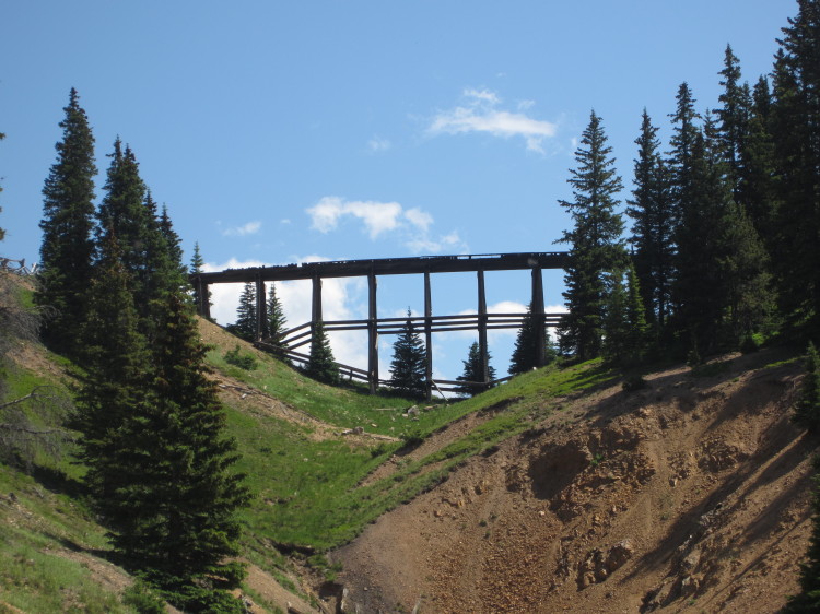
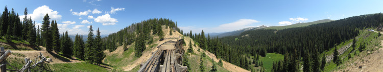
The old trestle comes into view. The road routes around the trestle now. Maybe someday the trestle will be repaired and cars will travel over it once more.
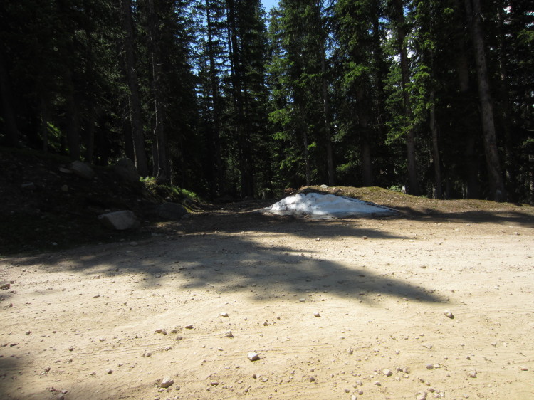
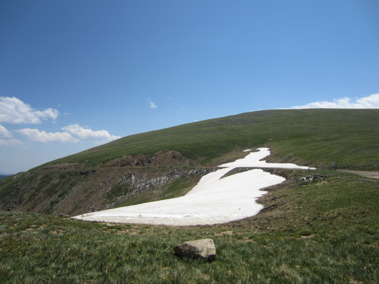
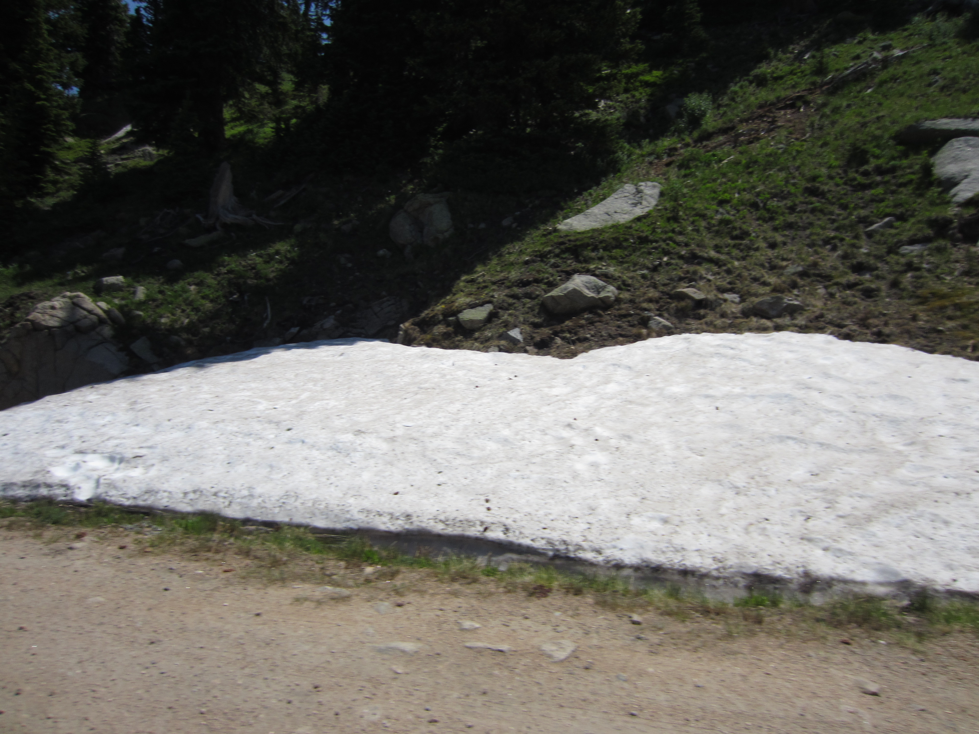
We found a whisp of snow on the side of the road.

The going got much tougher on the last charge up to the other side of the trestle.
Heading up the worst piece of road.
Almost to the top of the roughest stretch of road on the entire route.
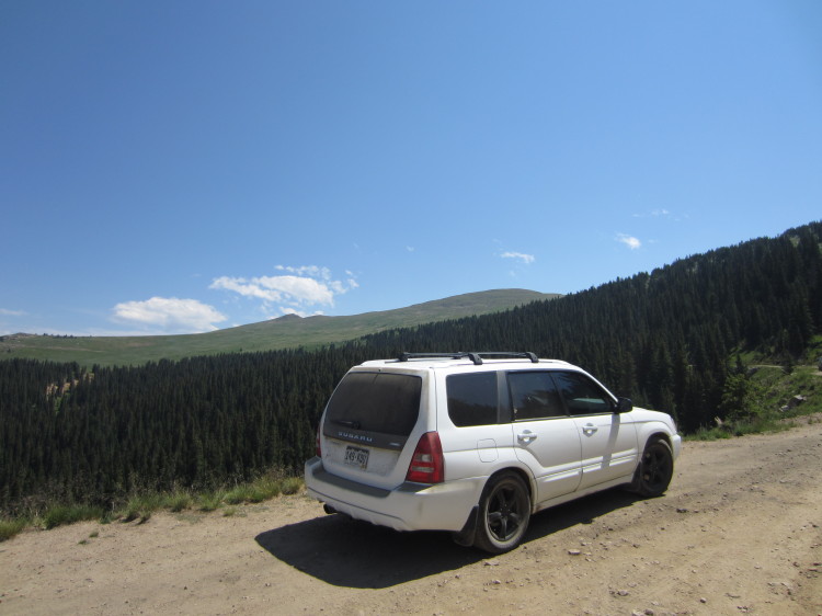
My subaru at the trestle pullout.

It’s a neat old trestle.
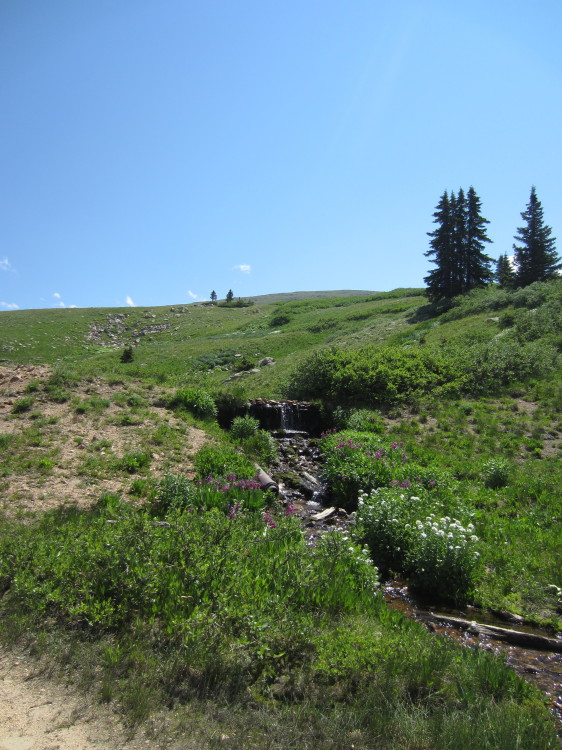
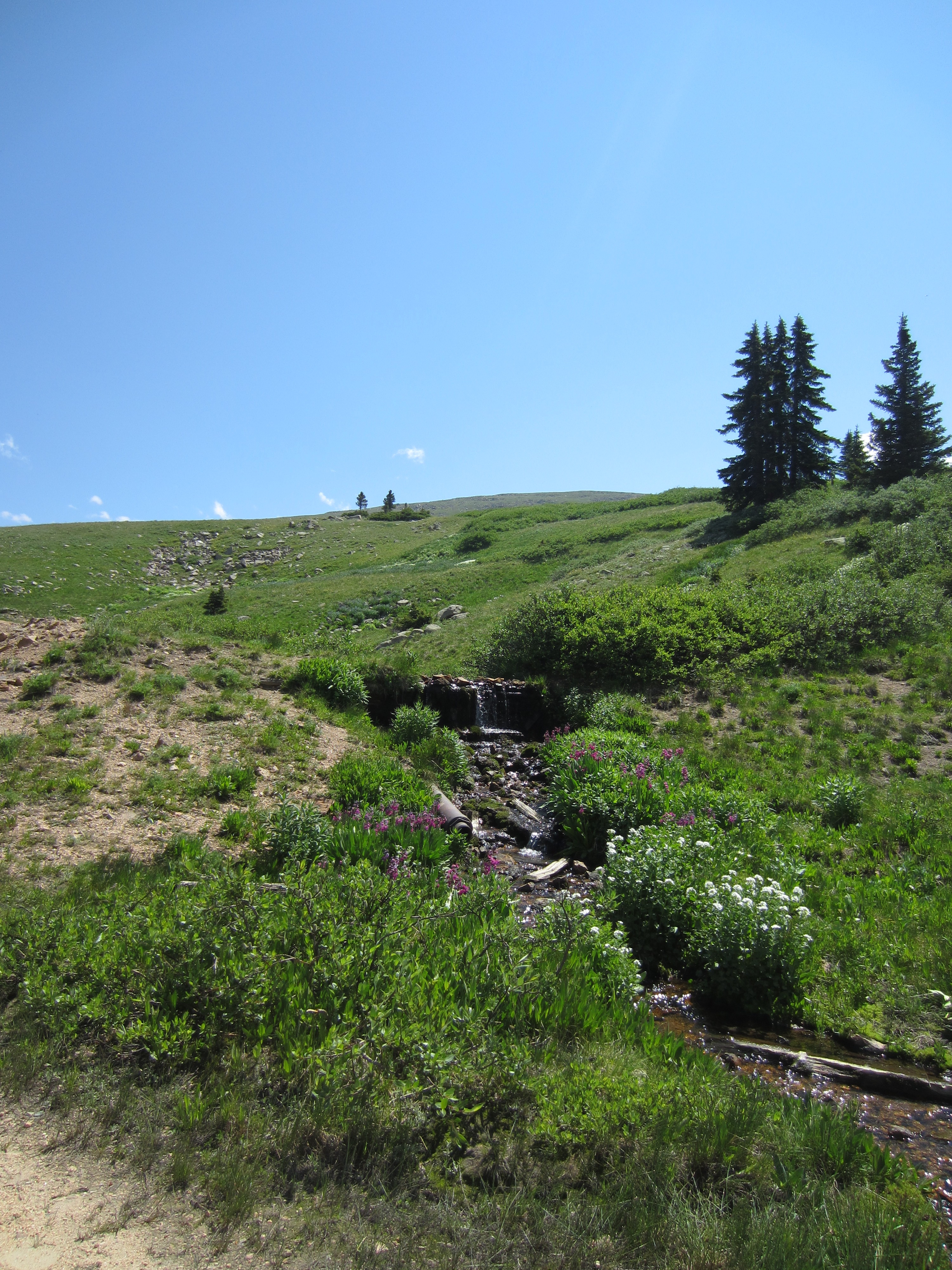
An old water source for the railroad.
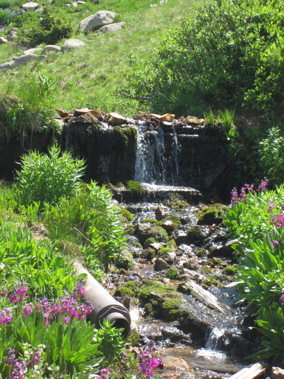
A pipe comes out from the little impoundment dam.

Looking back at the trestle.
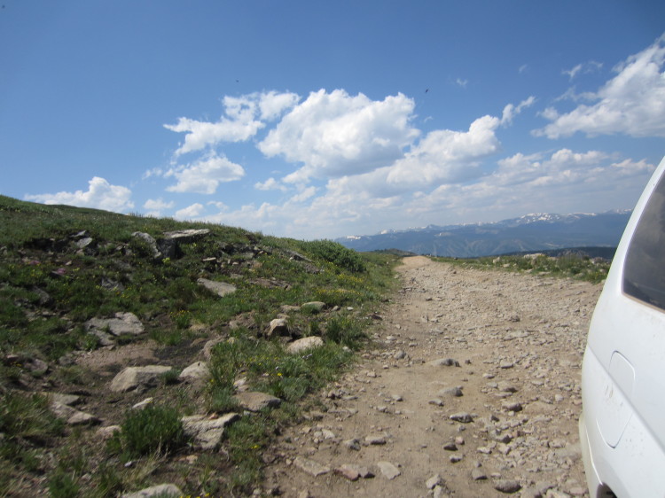
Almost to treeline.
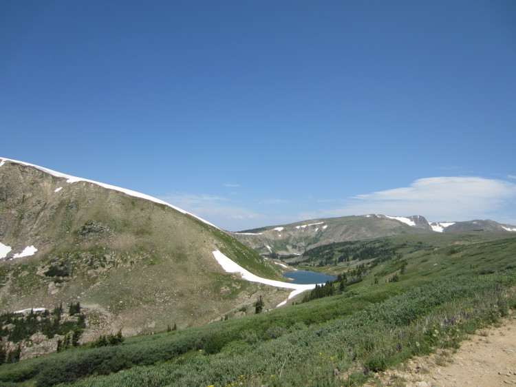
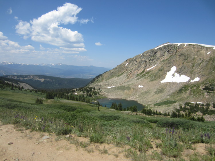
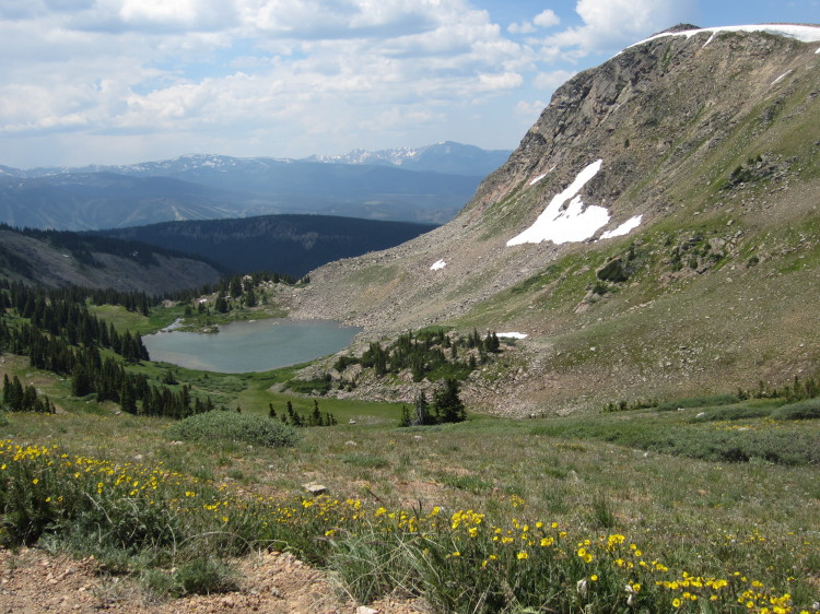
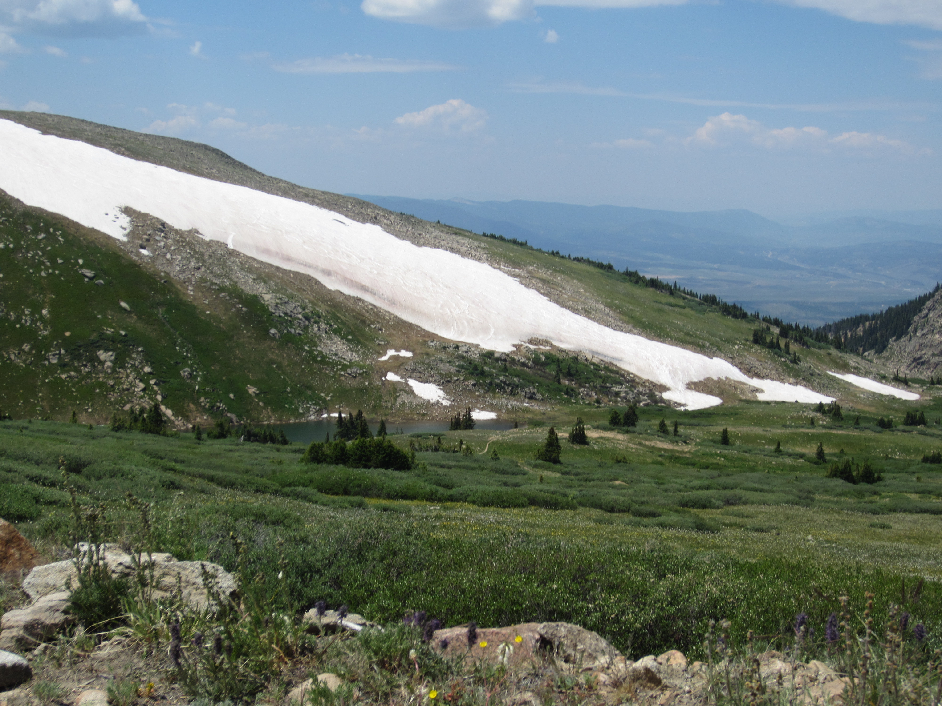
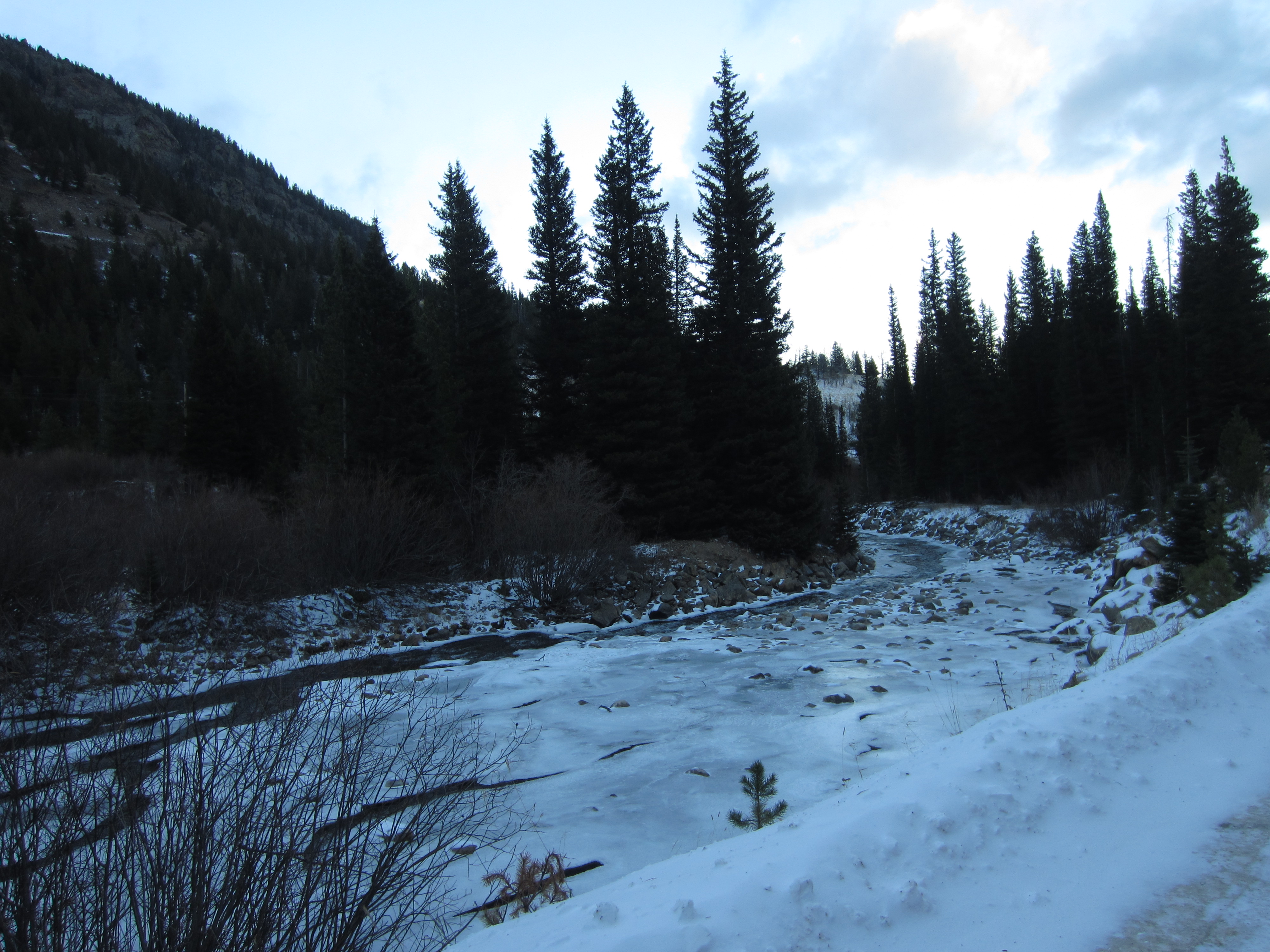
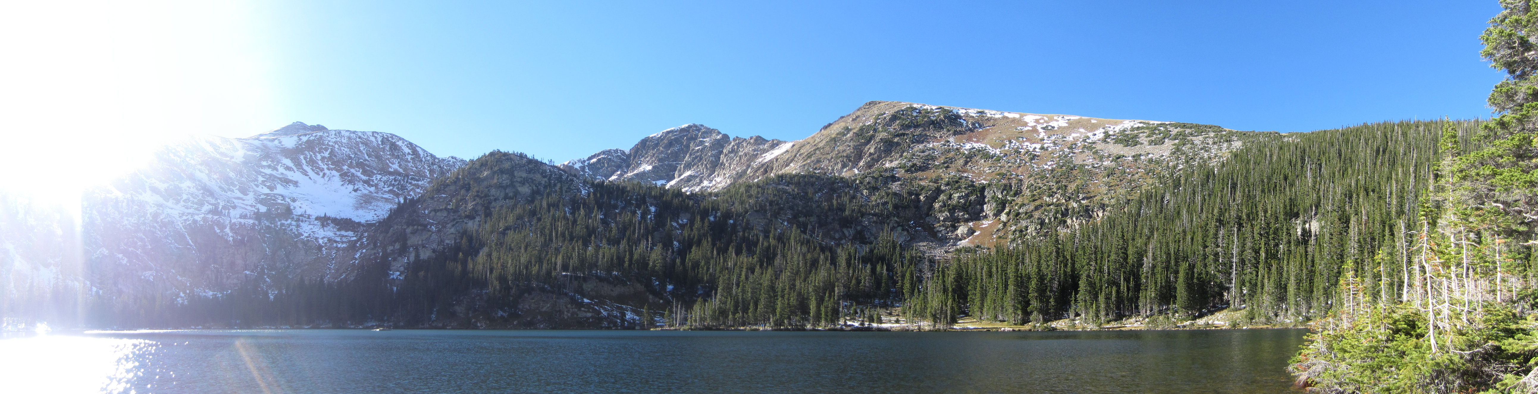
Little mountain lakes.
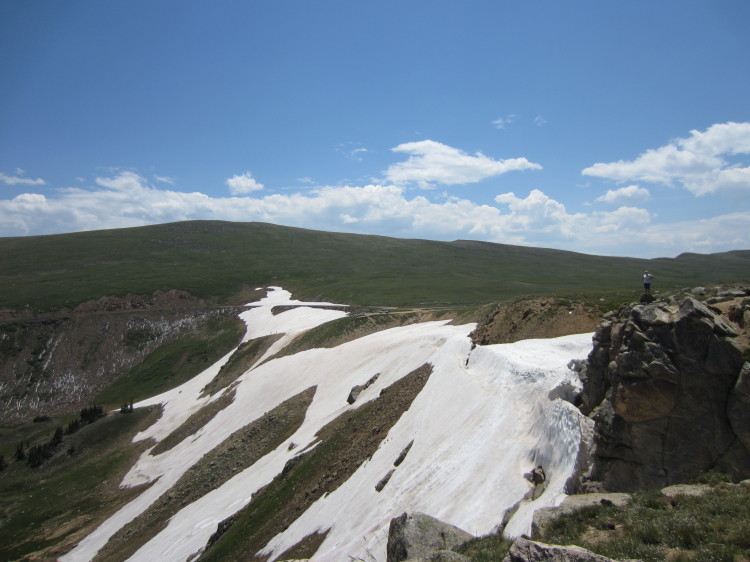
Another really rough stretch of road that is very difficult for passenger cars to choose the correct path.
Going over another really rough section of the road.
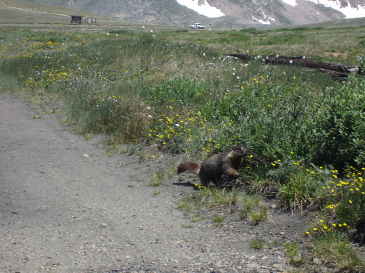
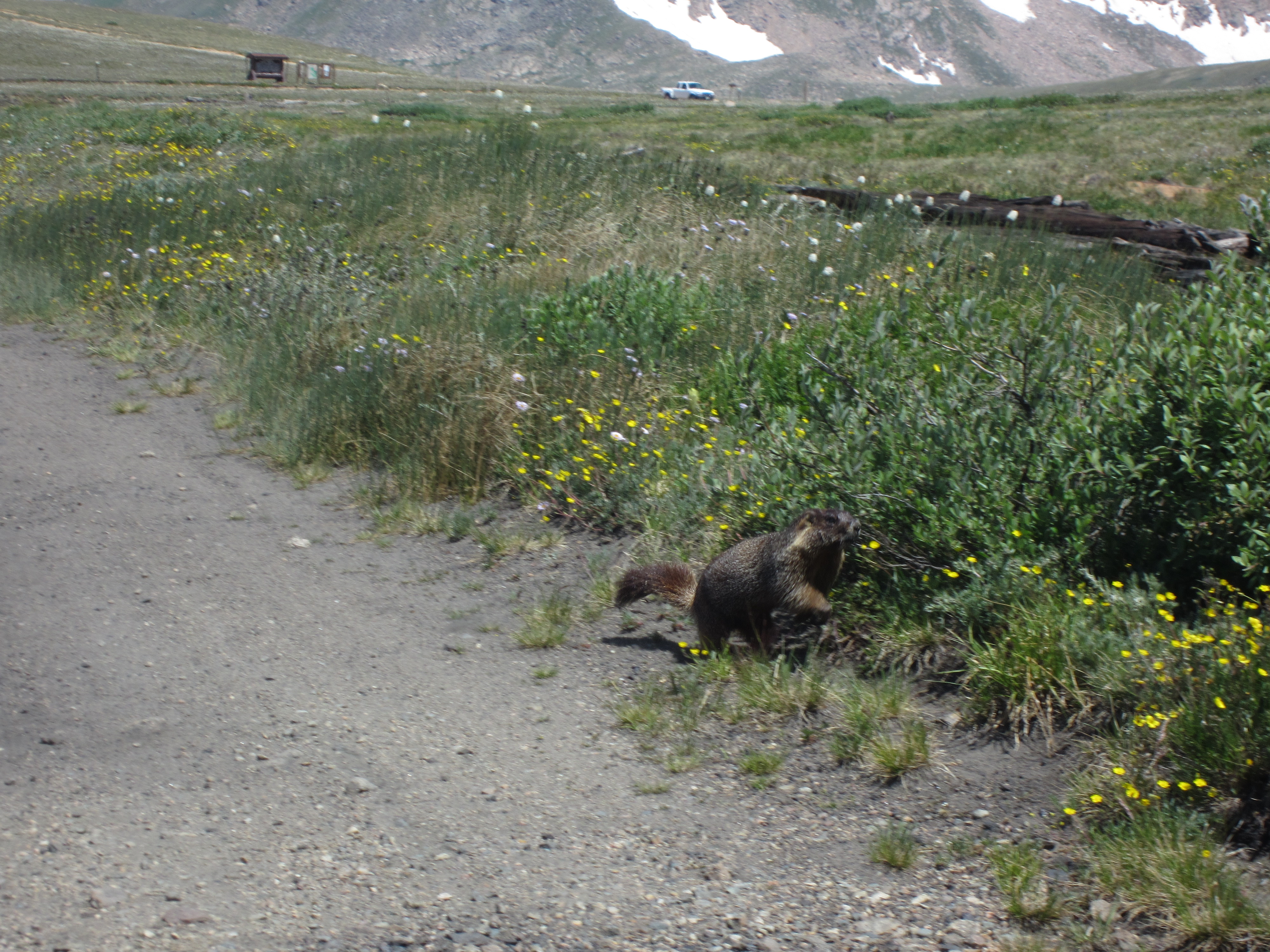
We saw a marmot on the side of the road eating fresh grass.
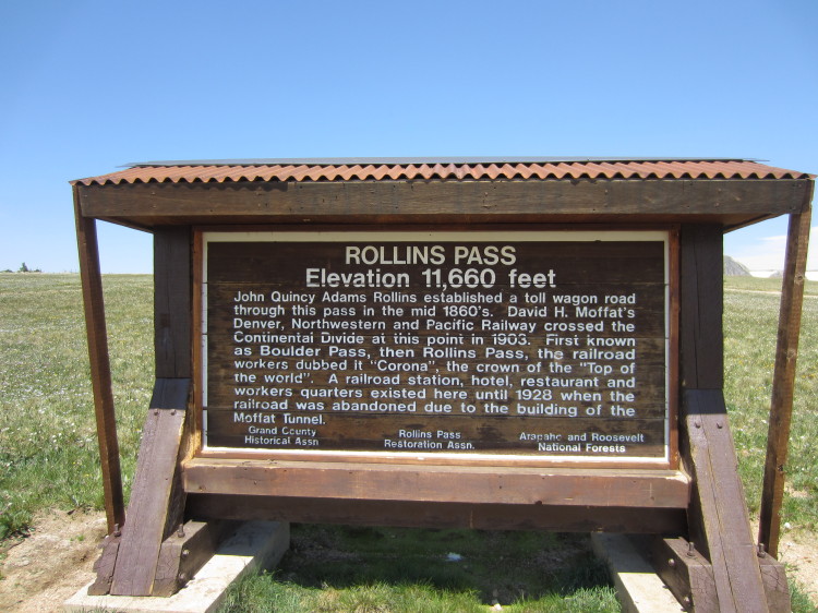
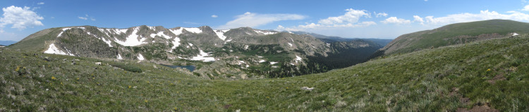
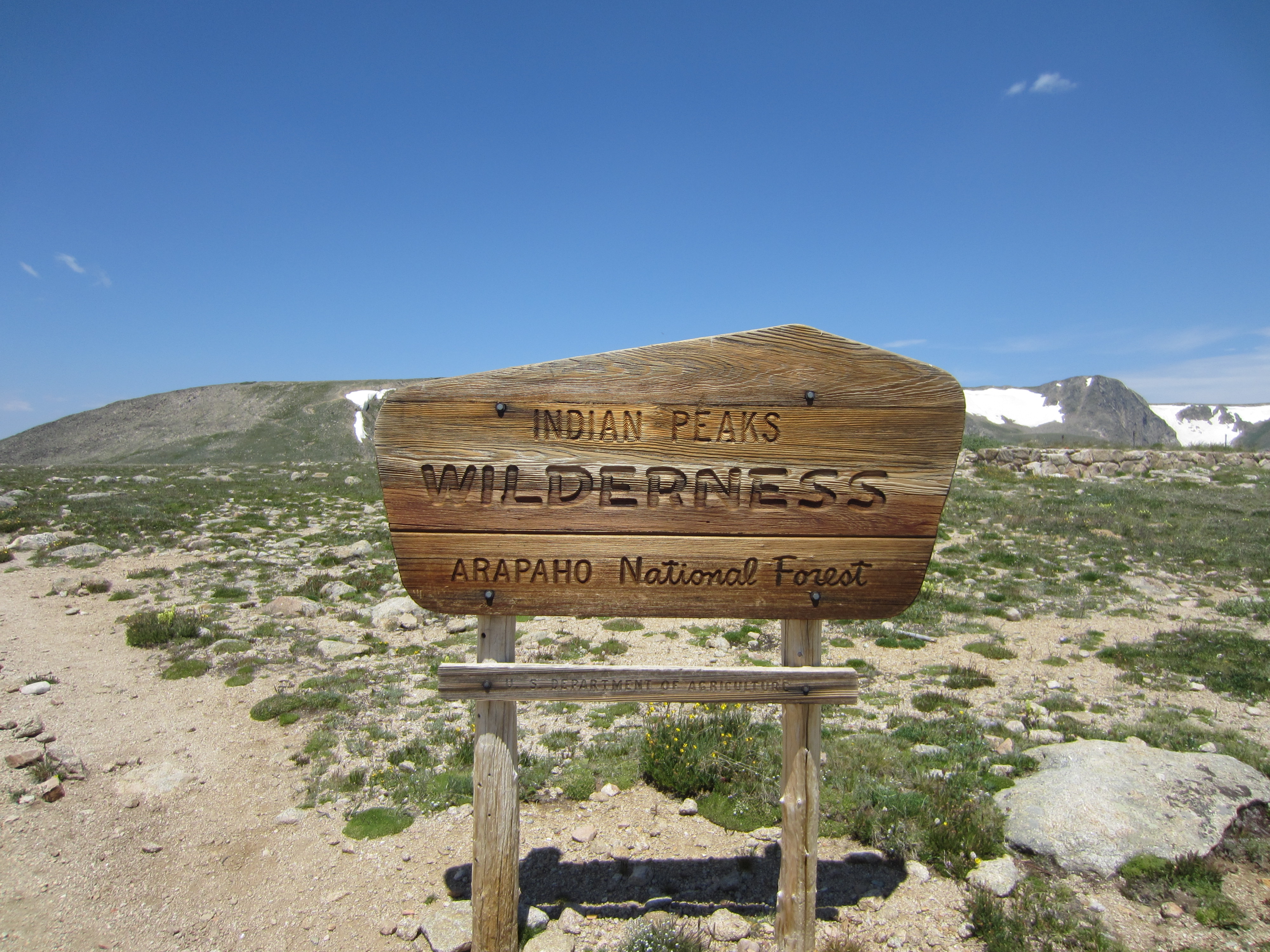
On top of Rollins Pass. The railroad workers called it Corona Pass and before that it was known as Boulder Pass.
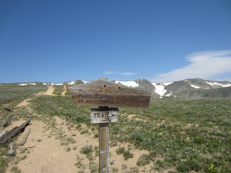
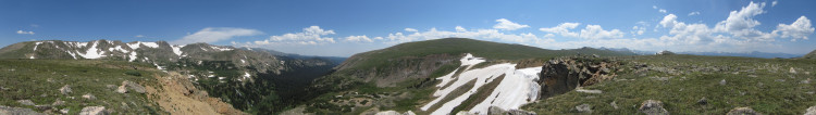
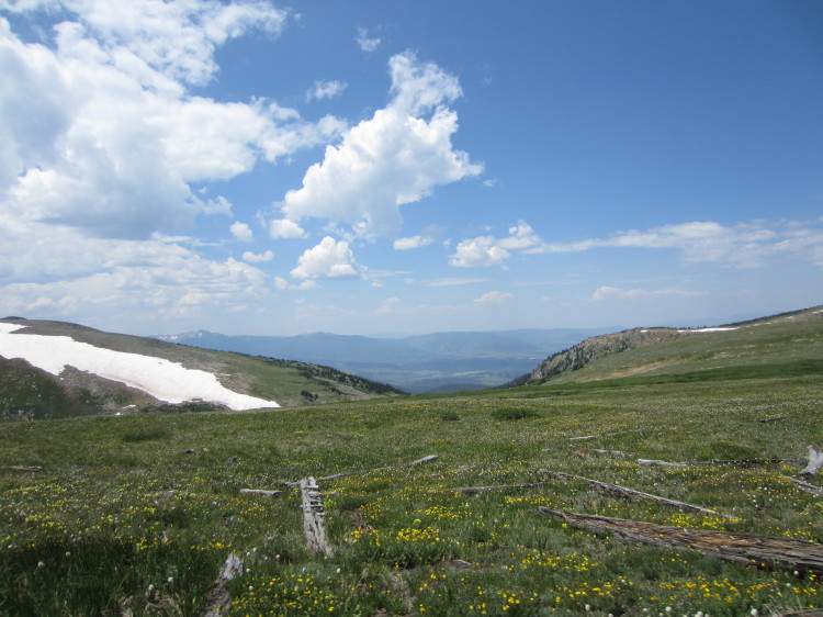
Wilderness area and the continental divide trail.
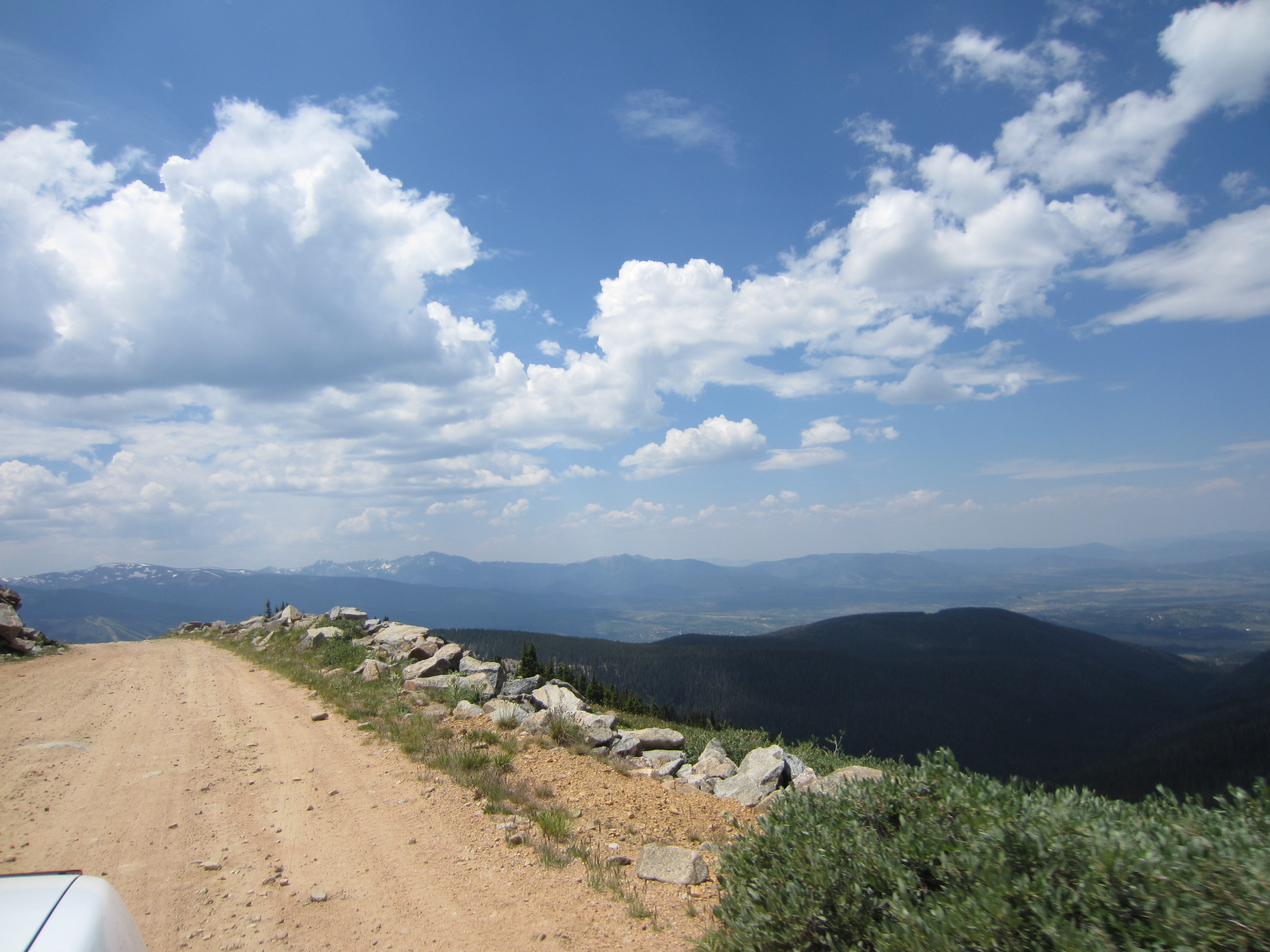
Looking down the east side of Rollins Pass. Due to some very interesting local politics between Grand County, Gilpin County, and Boulder County, the full route over Rollins Pass has been closed since 1990. There is no end in sight to the political stalemate. This website seems to be a decent source on explaining what the residents of Gilpin and Grand Counties think. Here is a recent news article about the troubles. I suspect it will be a long time before the situation is resolved. There is an old wagon road that is closed by the Forest Service but parallels the rail bed that it appears Jeeps regularly traverse with sufficient ground clearance and equipment to get around the blockage down to the tunnel. At the tunnel, there might be a way around the blockade there if you read local Jeep forums. Legally though it appears there will not be a motorized way across Rollins Pass anytime soon. It’s a real shame. The route would be an excellent compliment with the road through Rocky Mountain National Park.
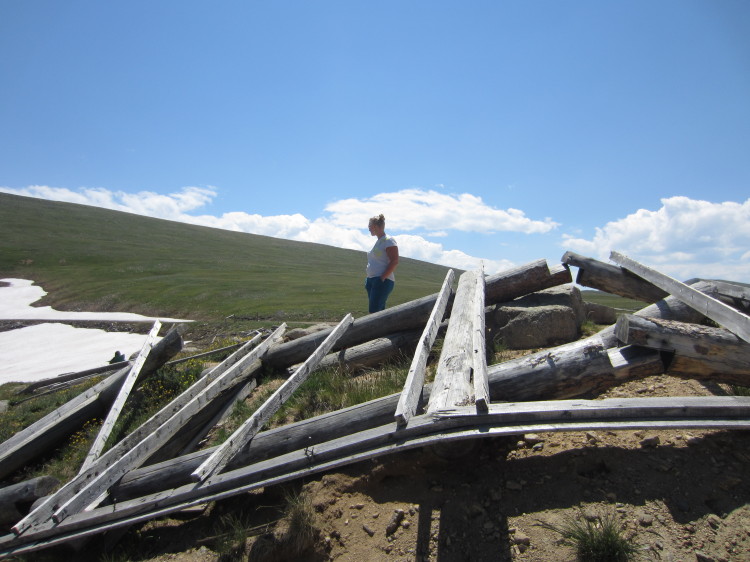
An old structure fallen down at the top of the pass.
Looking east toward Rollinsville.

The Continental Divide Trail.


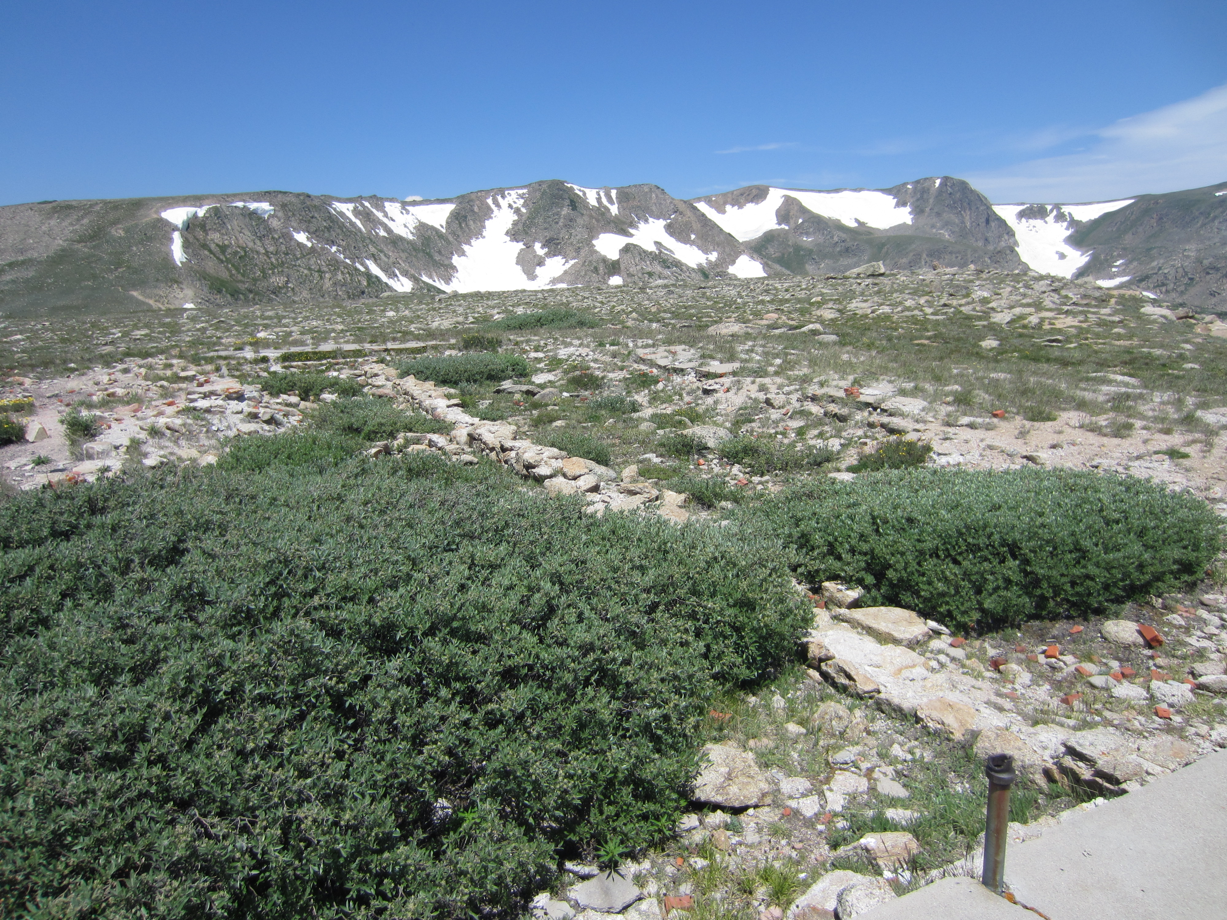
An old foundation. There was once a hotel at the top of the pass.
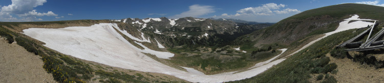
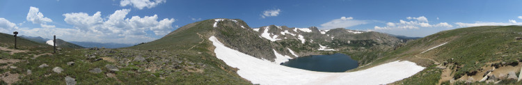
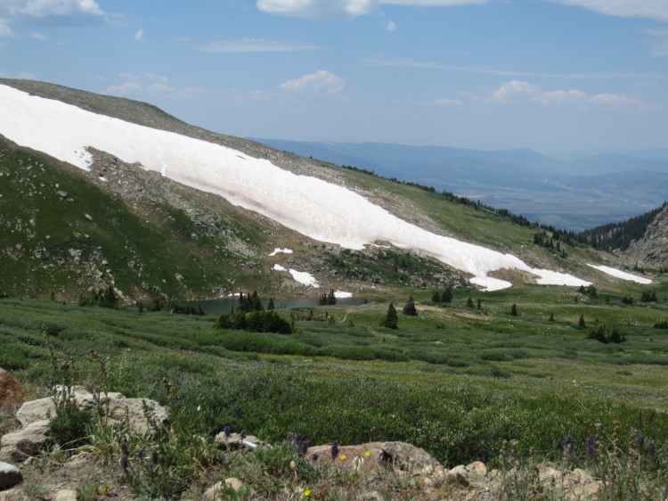
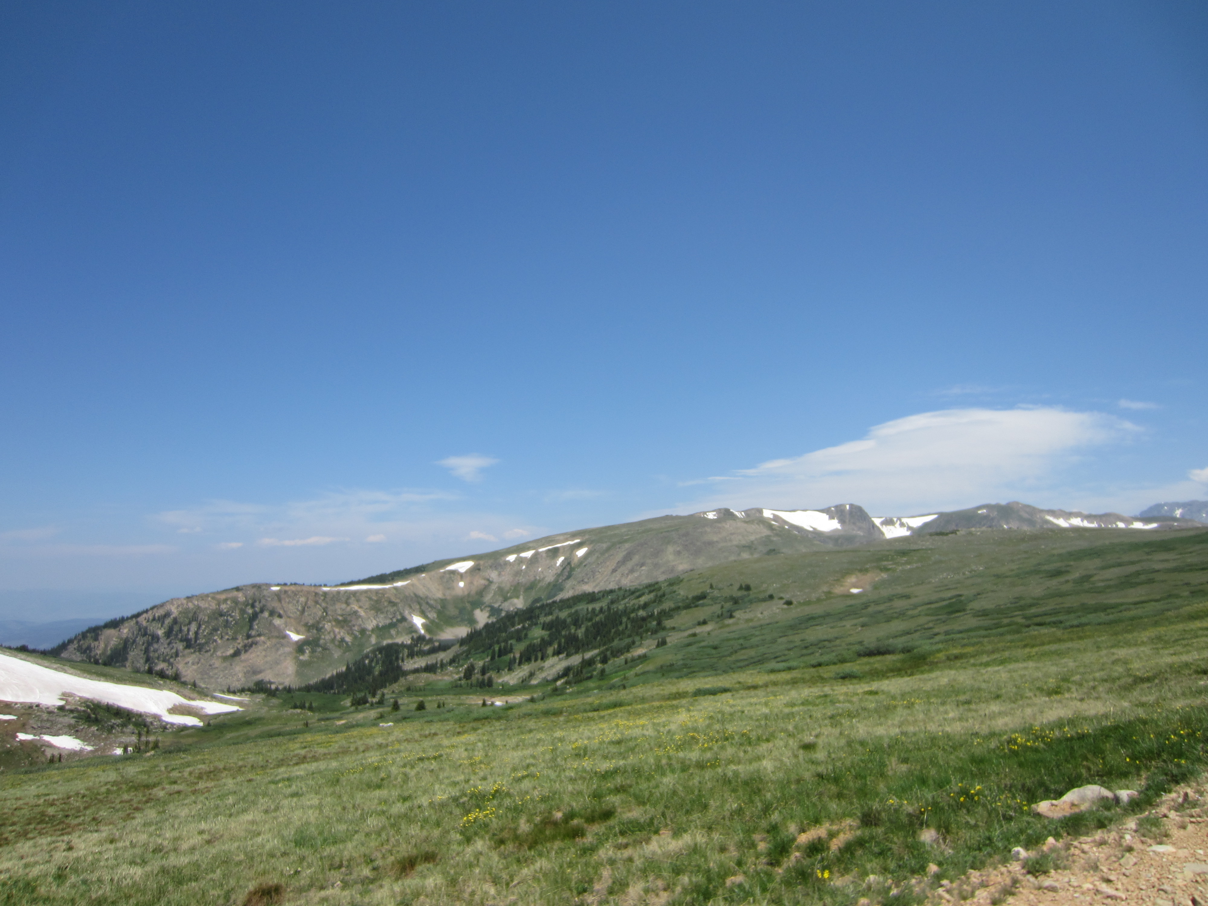
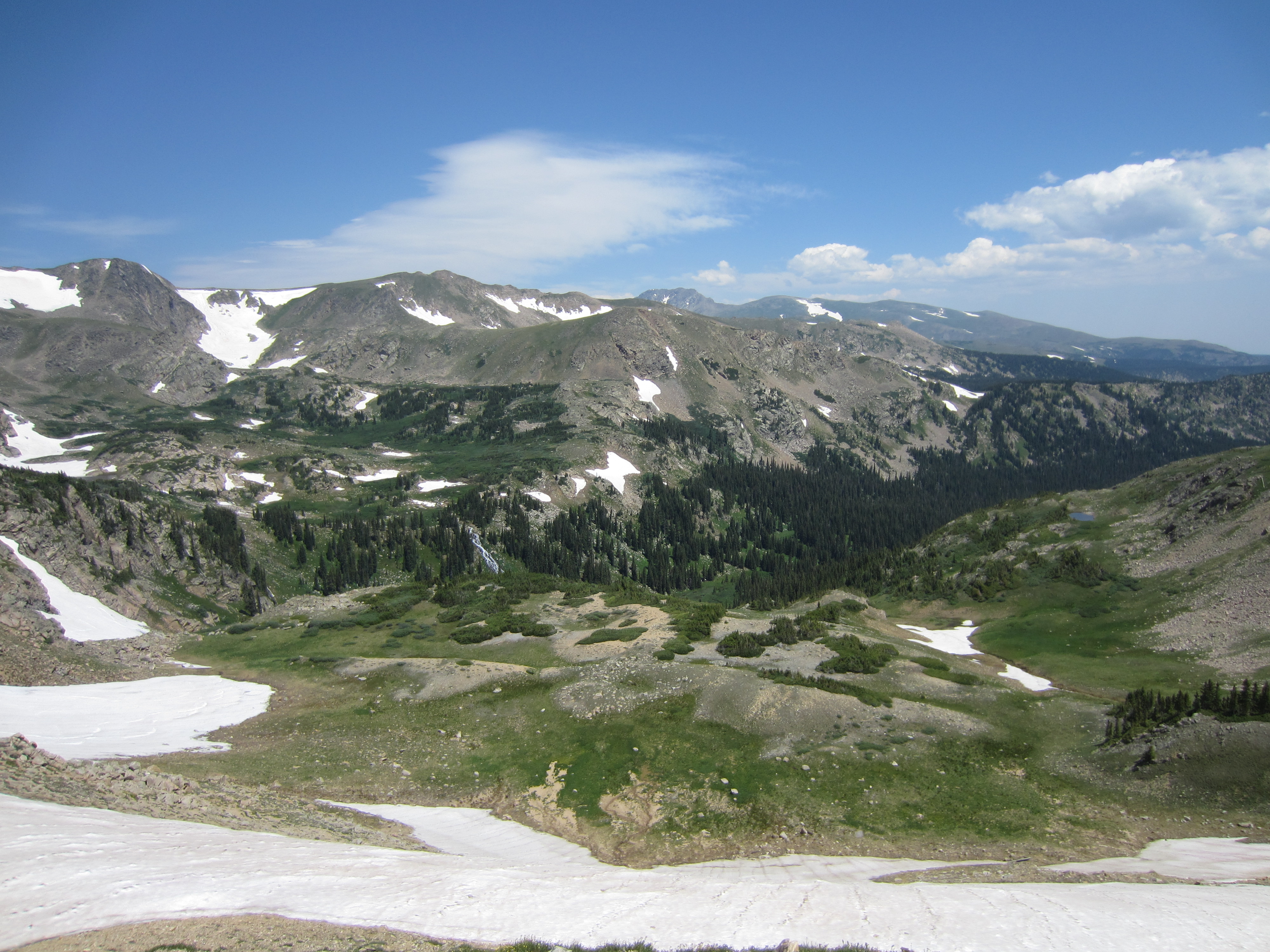
 Looking a bit more north into a beautiful alpine basin.
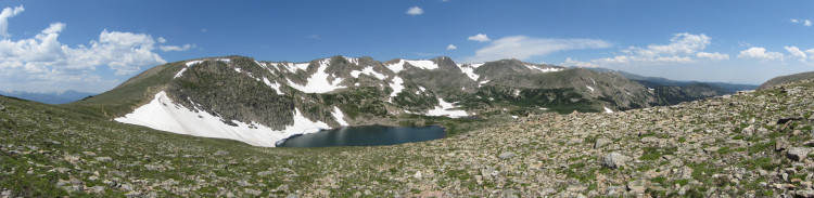
A pretty little alpine lake fed by snow.
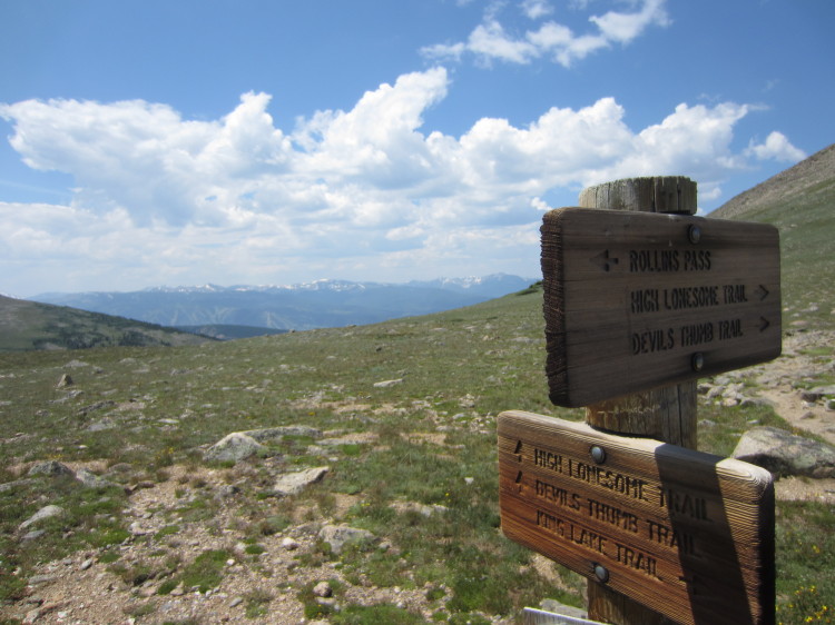
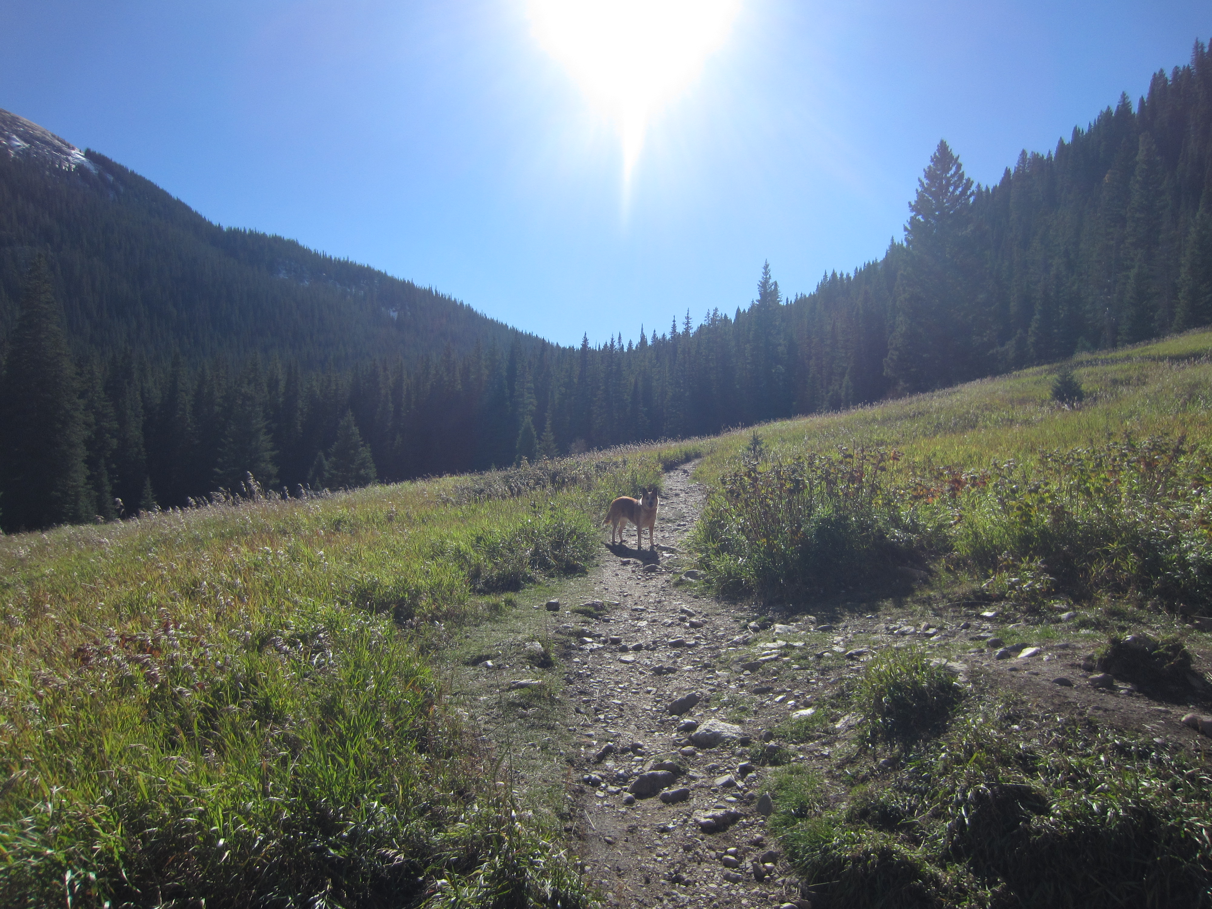
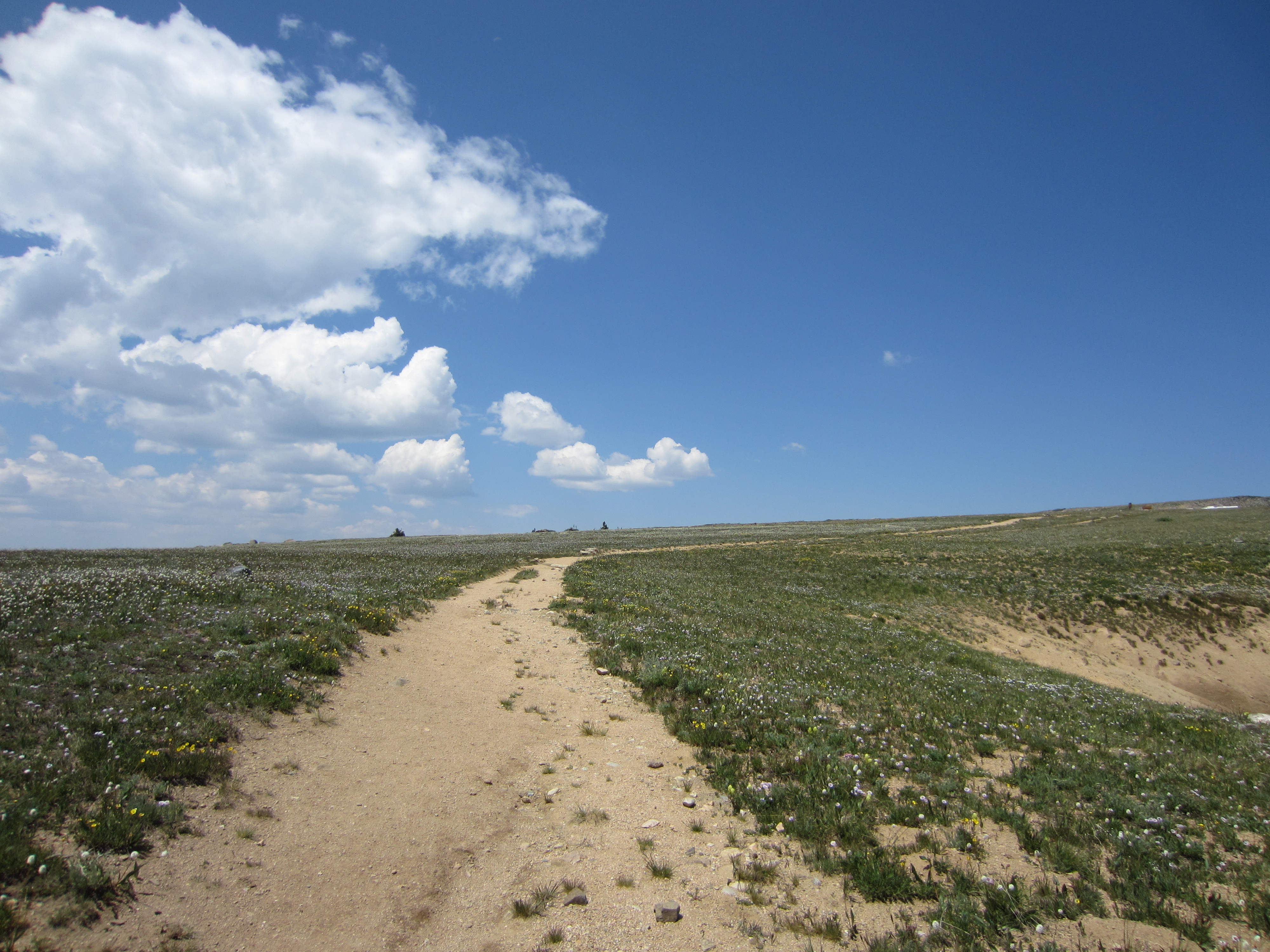
Many trails to many places.
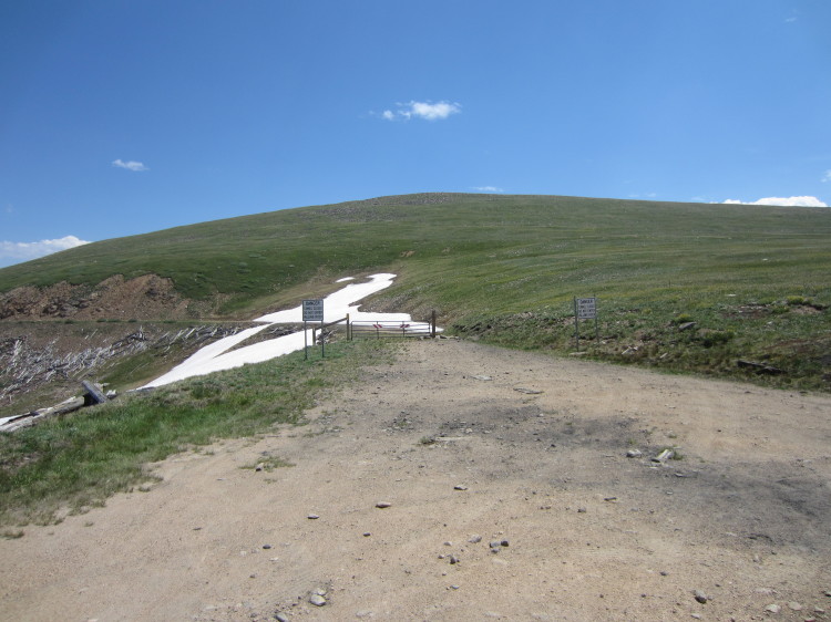
The blockade at the Boulder County line.
Trains used to roll through here.
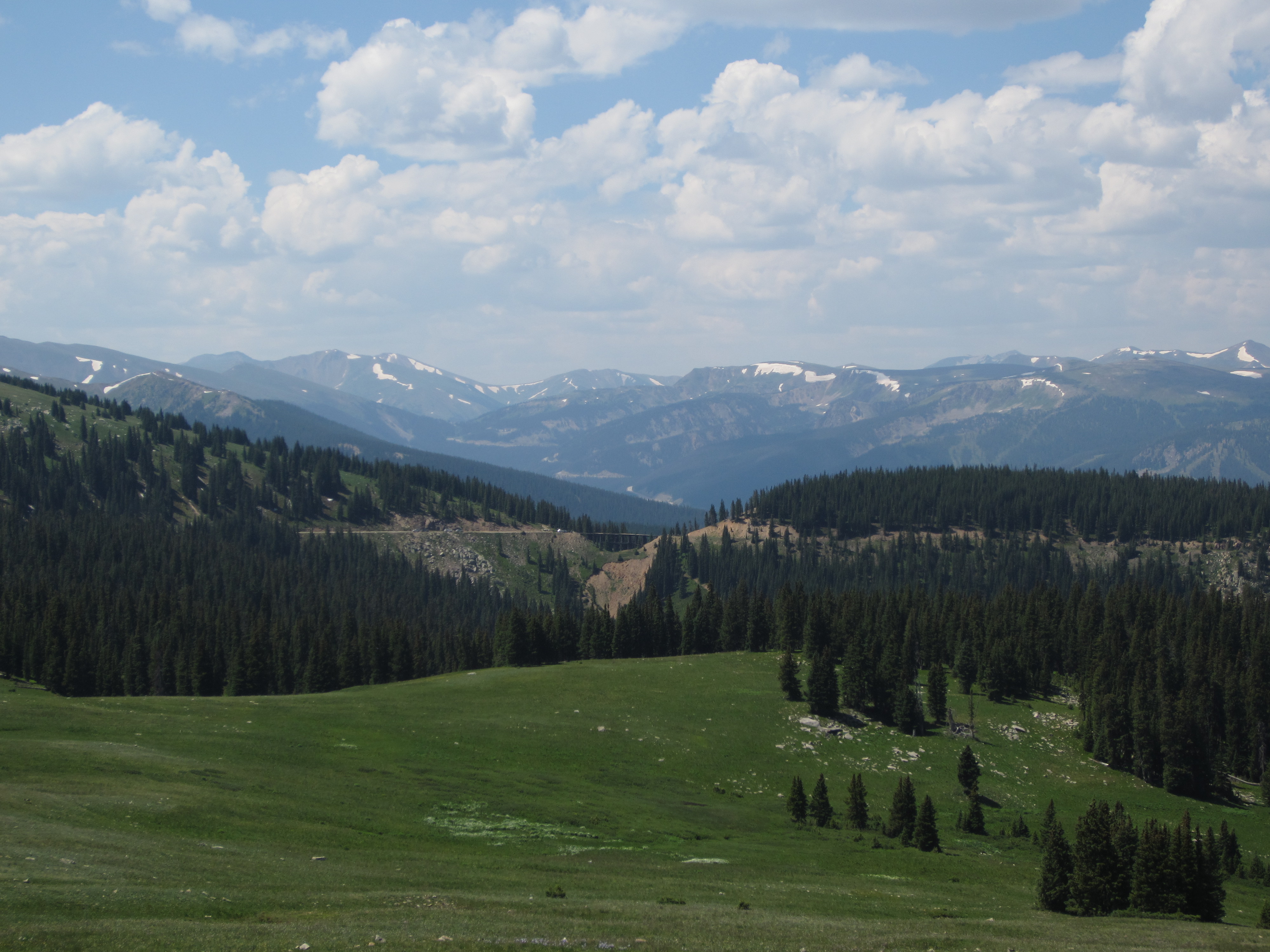
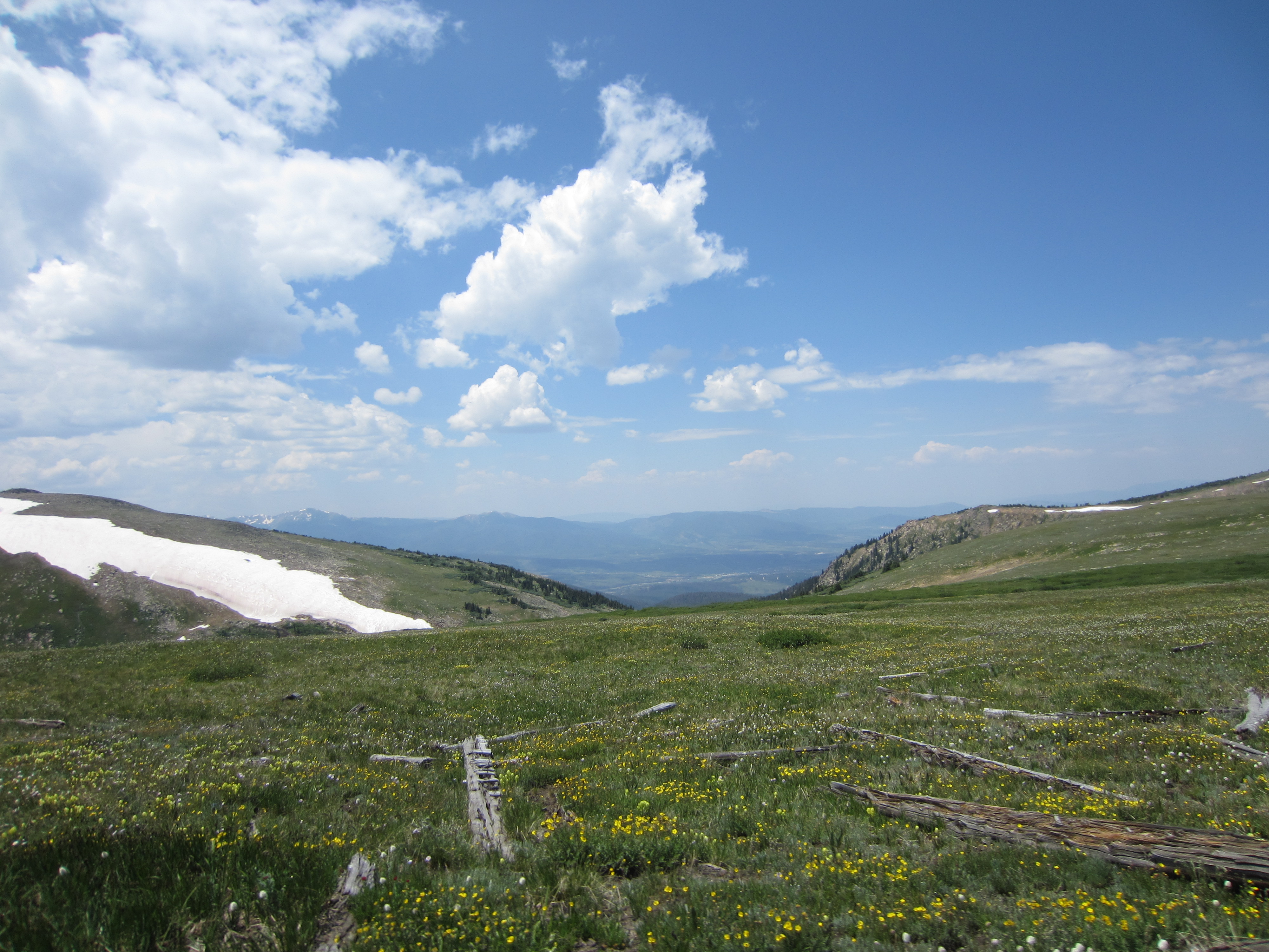
Big mountains to the west as we started back down the road.
A little alpine lake.
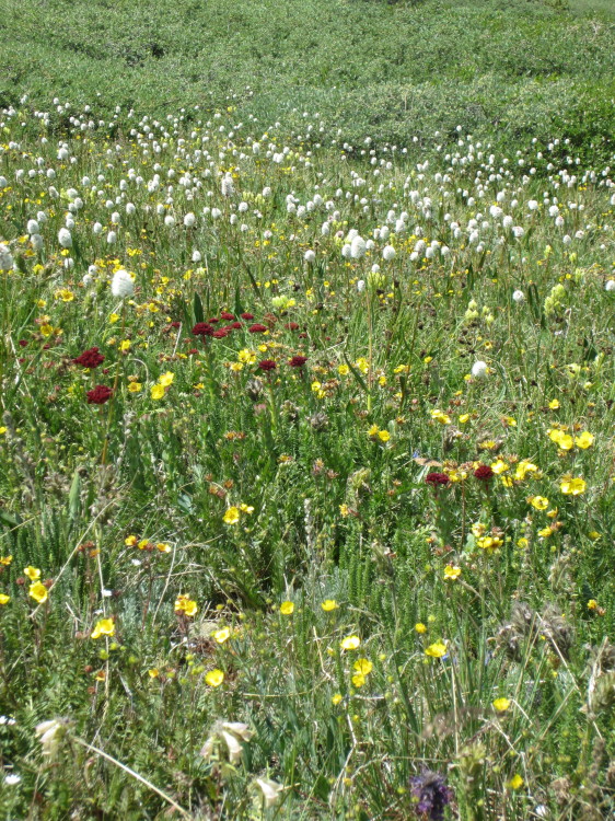
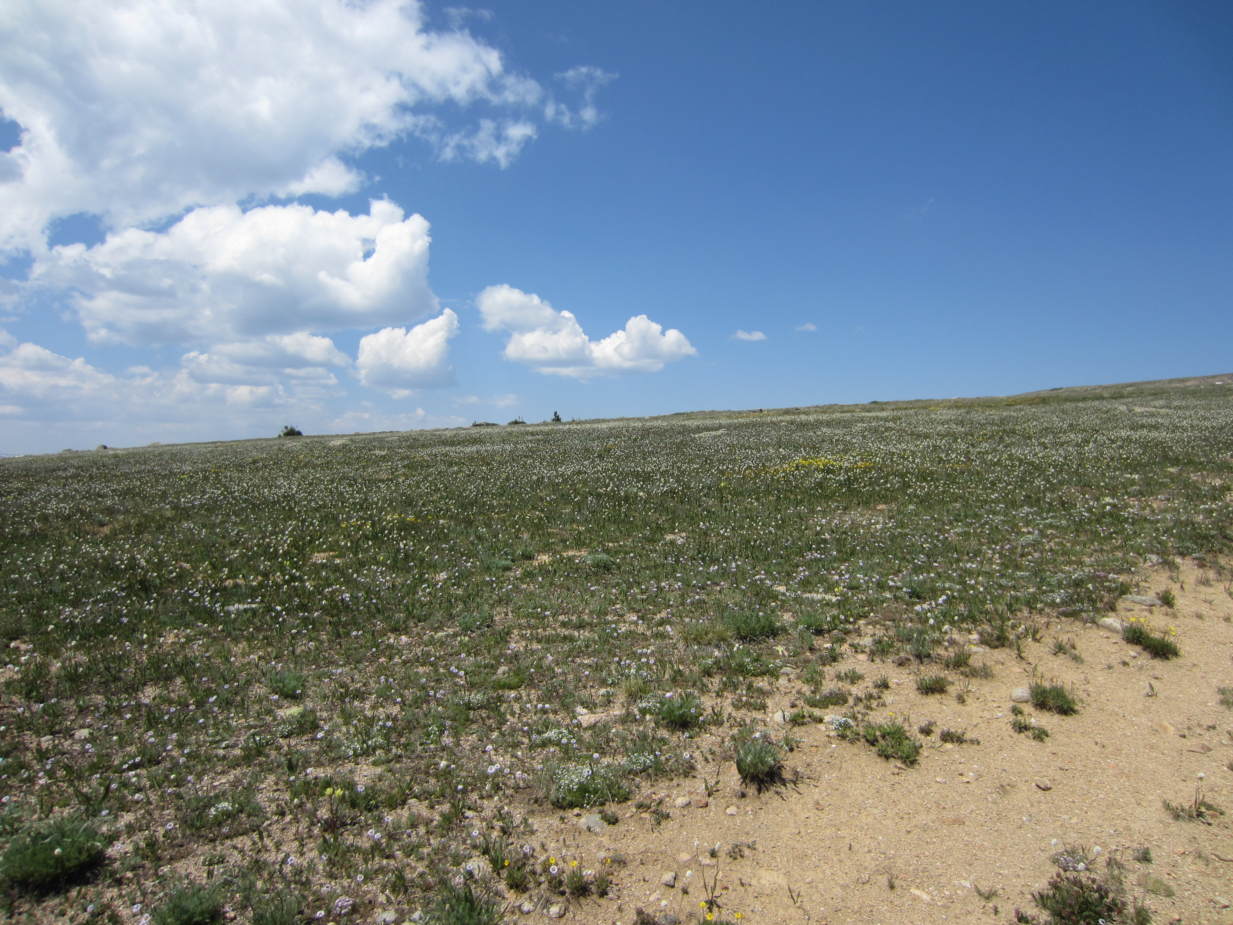
Fields full of mountain wildflowers.
Another alpine lake.

 The trestle far in the distance.
Back at the trestle and almost to the worst part of the road. After this photo, we put the camera away and focused on driving down the worst parts of the road. If you’ve got a high clearance vehicle, it’s a fun place to go check out. If you’re in a 2WD sedan, you need to have good confidence in your driving abilities and you really need to not mind scraping rocks against the underside of your car to get up and down Corona Pass Road.


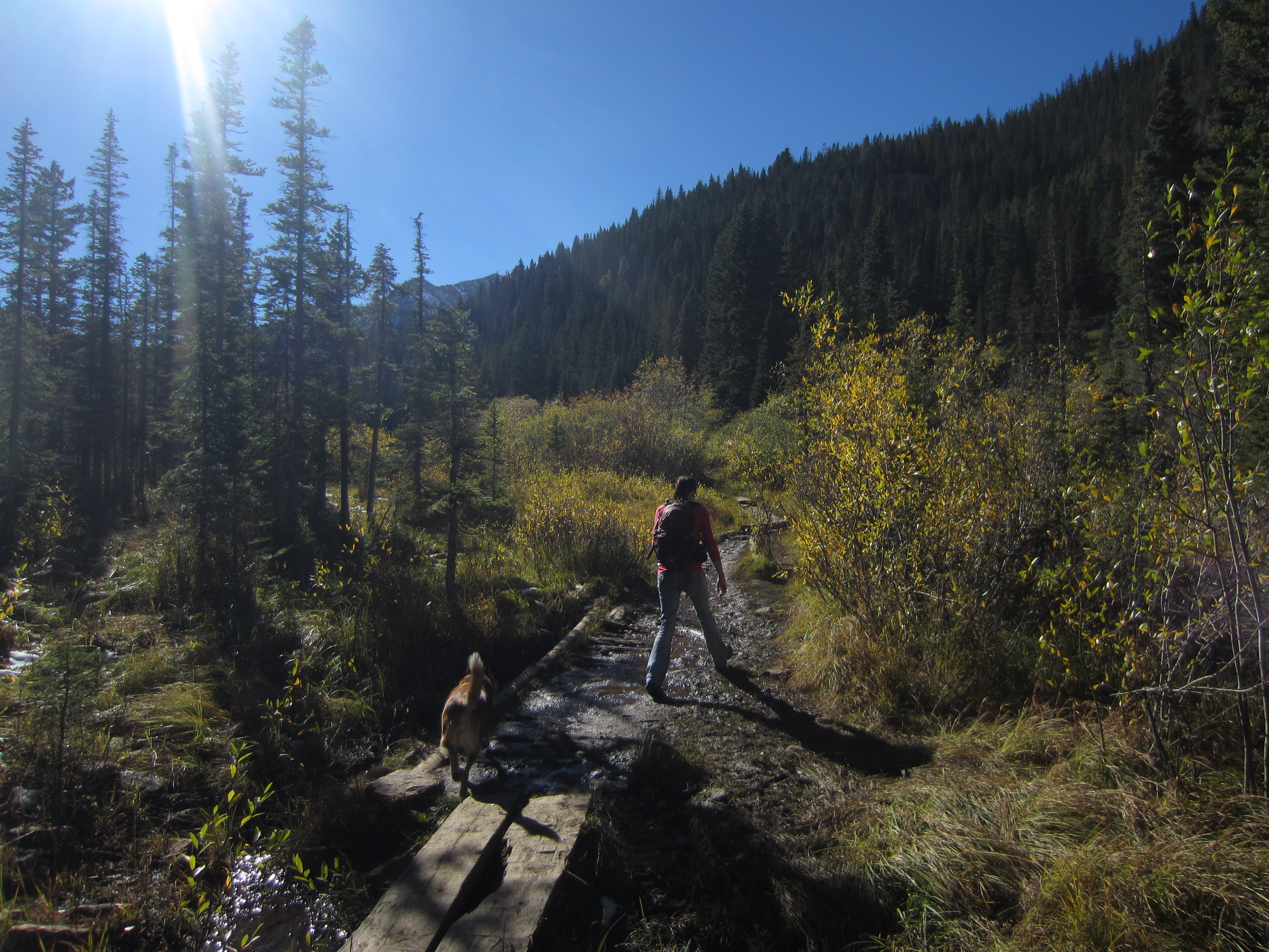


 A little wet meadow below the lower Crater Lake.
 Upper Crater Lake in all its glory.
 The little rocky meadow at the outlet of upper Crater Lake.


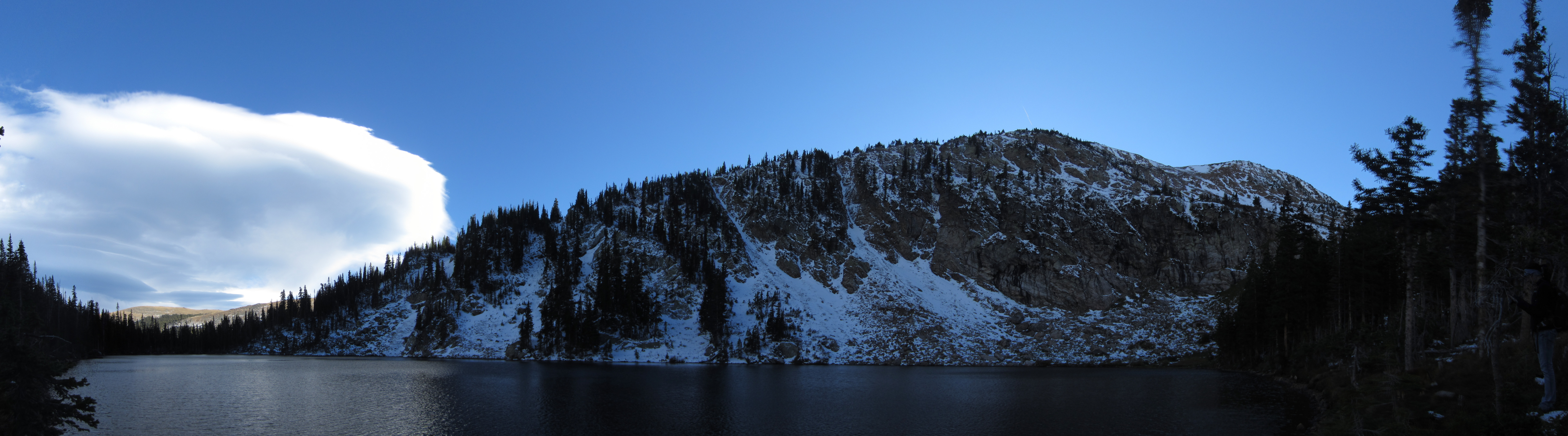 Lower Crater Lake.


