

We woke up to a partly cloudy sky on our third day in Crown Valley. After breakfast, we packed up camp and headed down the drainage from Geraldine Lakes toward the old Dude Ranch.
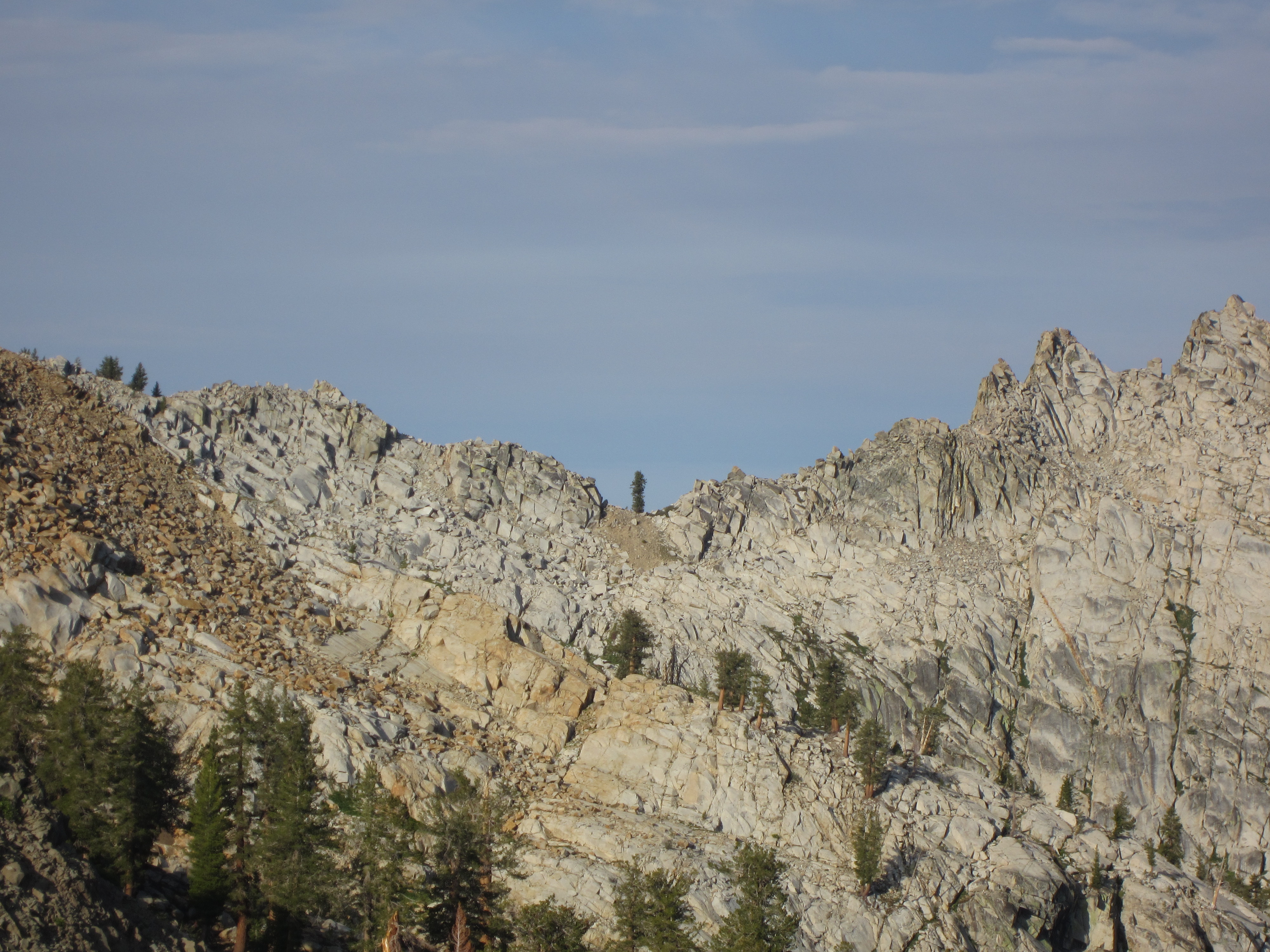
At one point in time, there was a trail here. Now it’s overgrown enough that most of the time we couldn’t find any sign of where it once went.
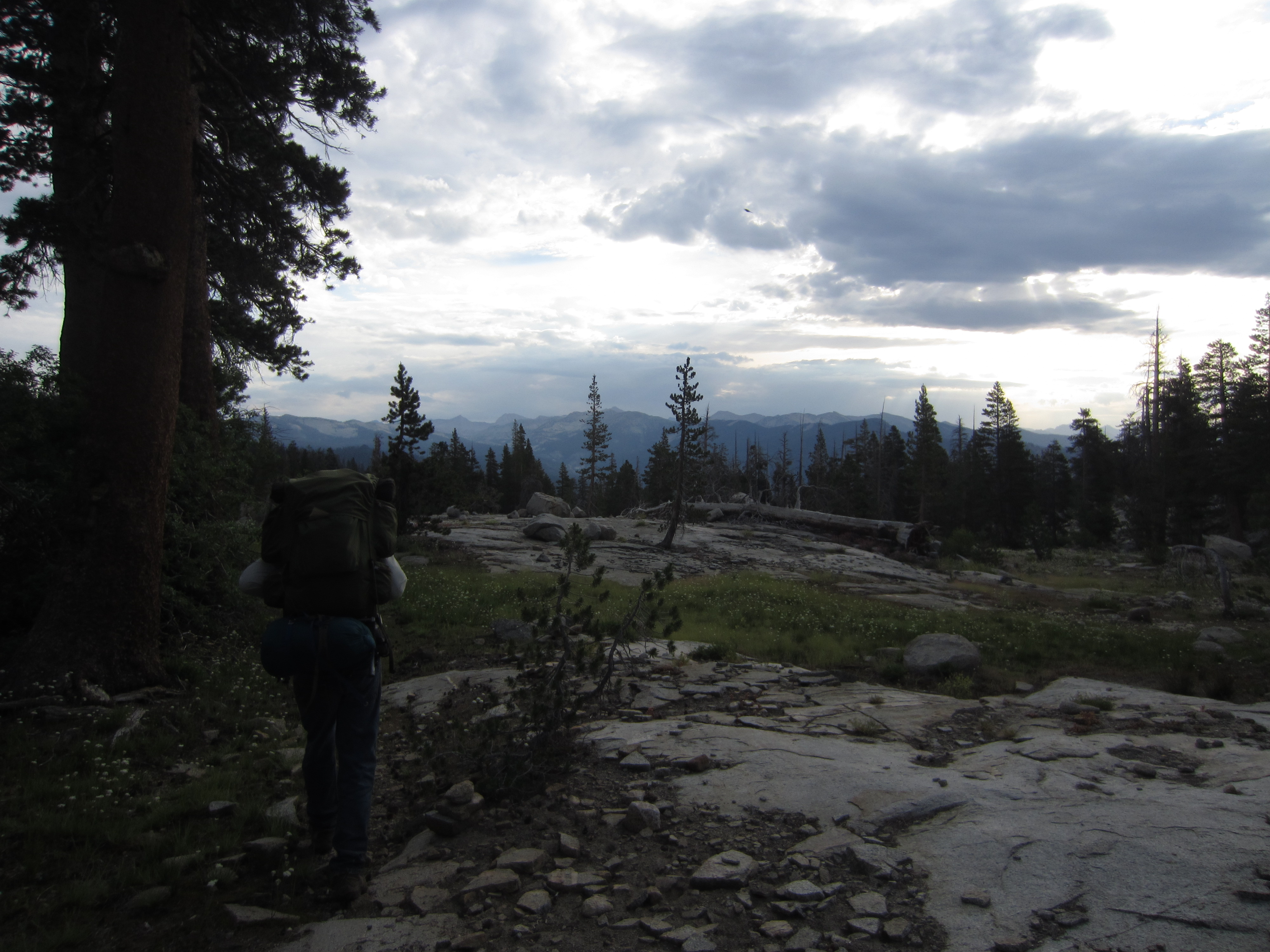
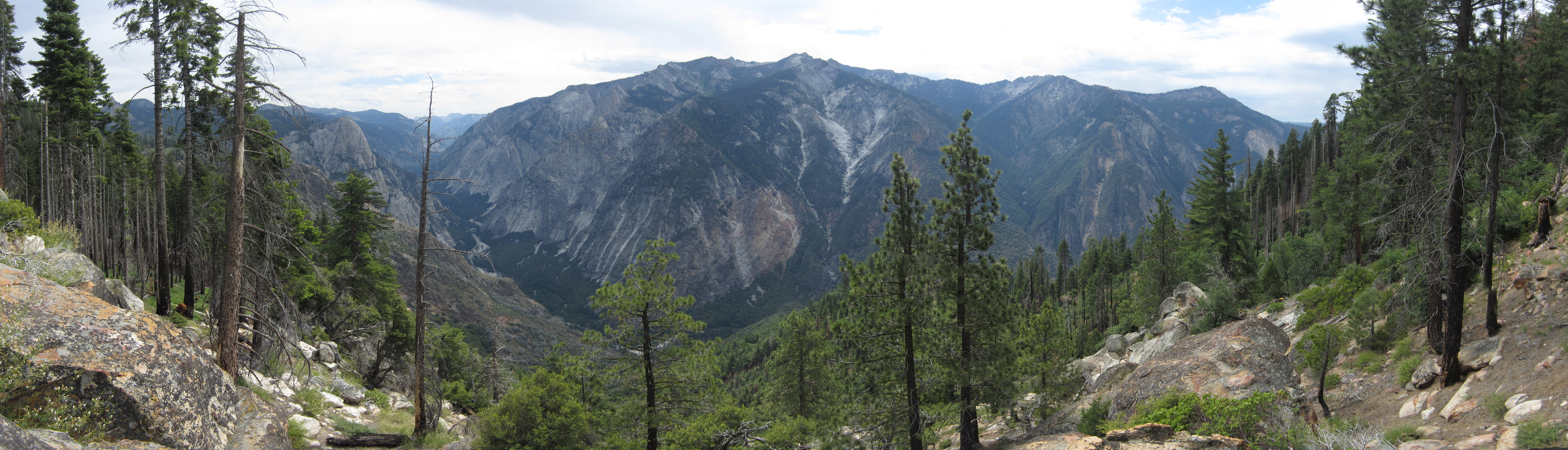
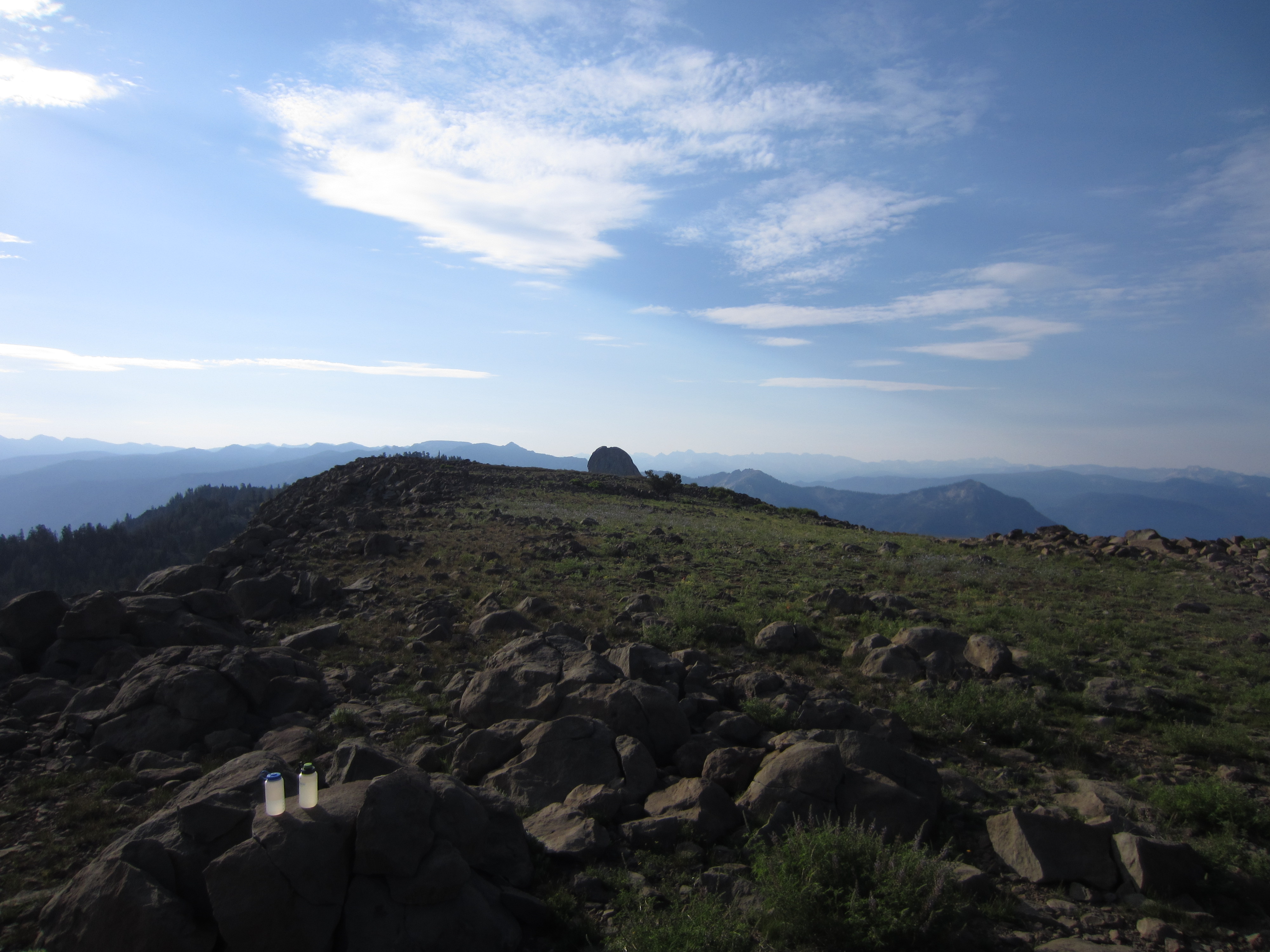
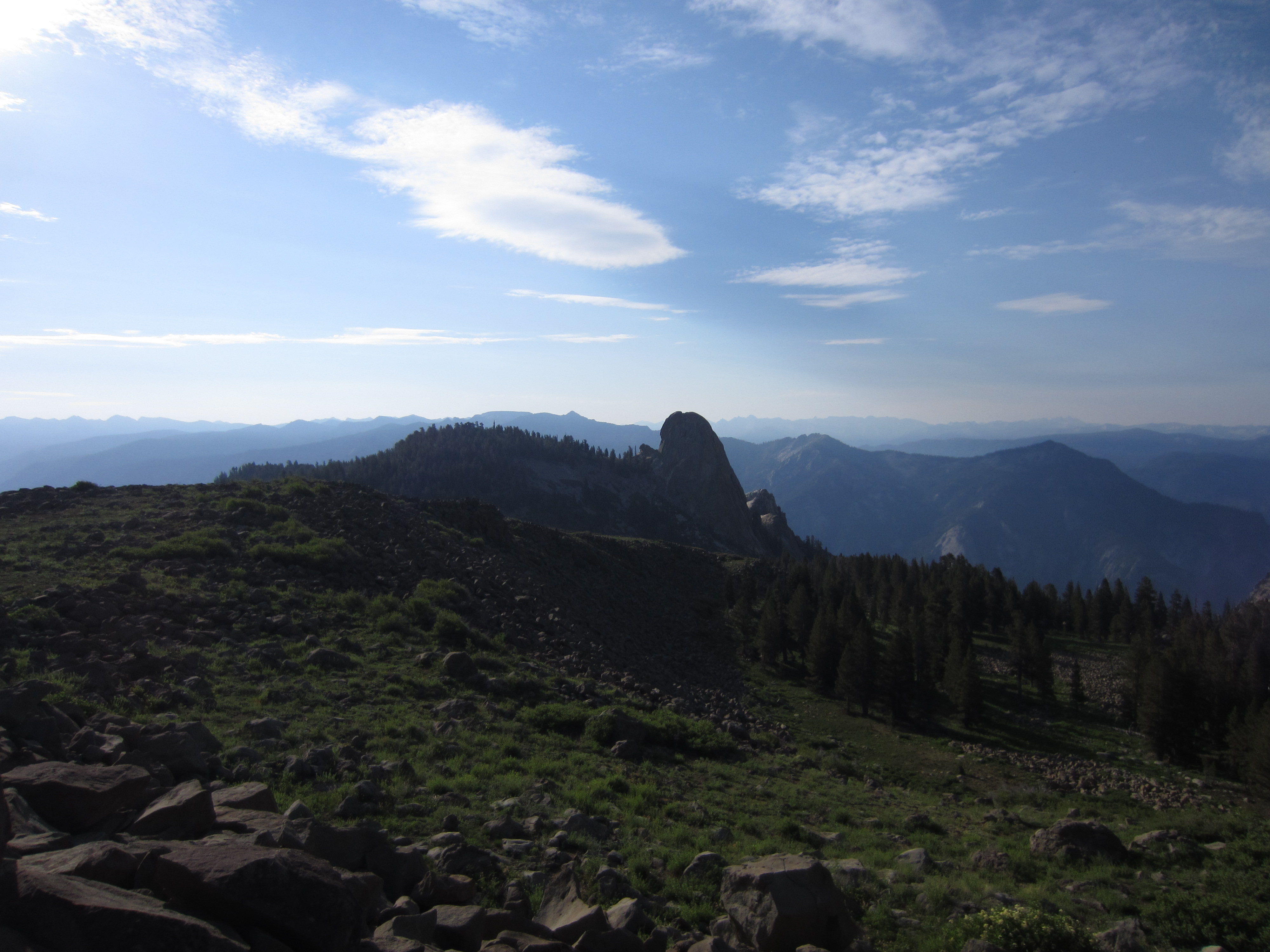
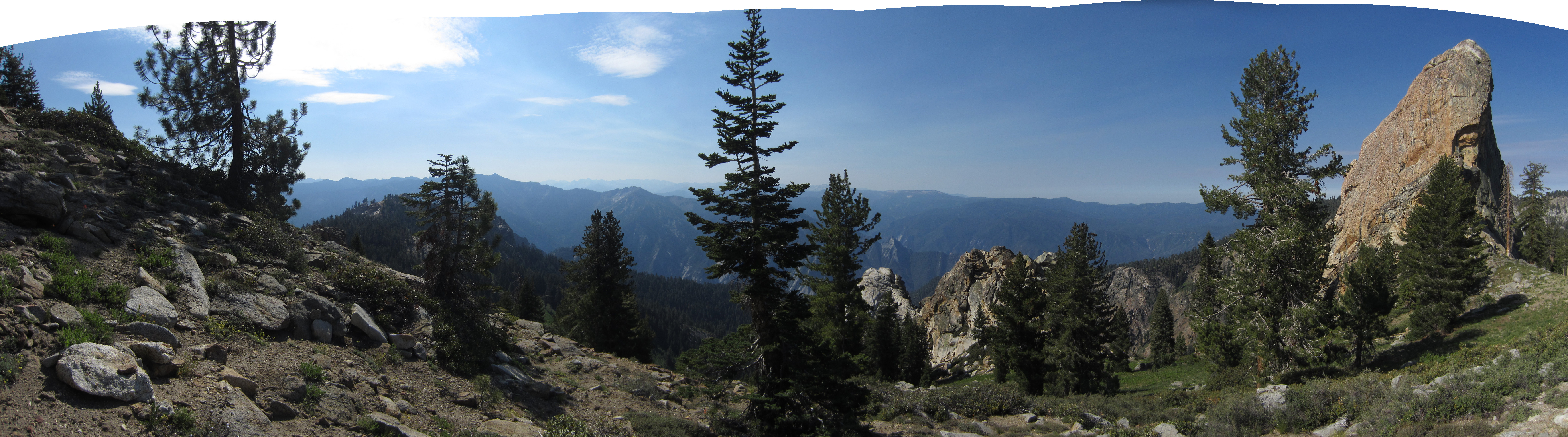
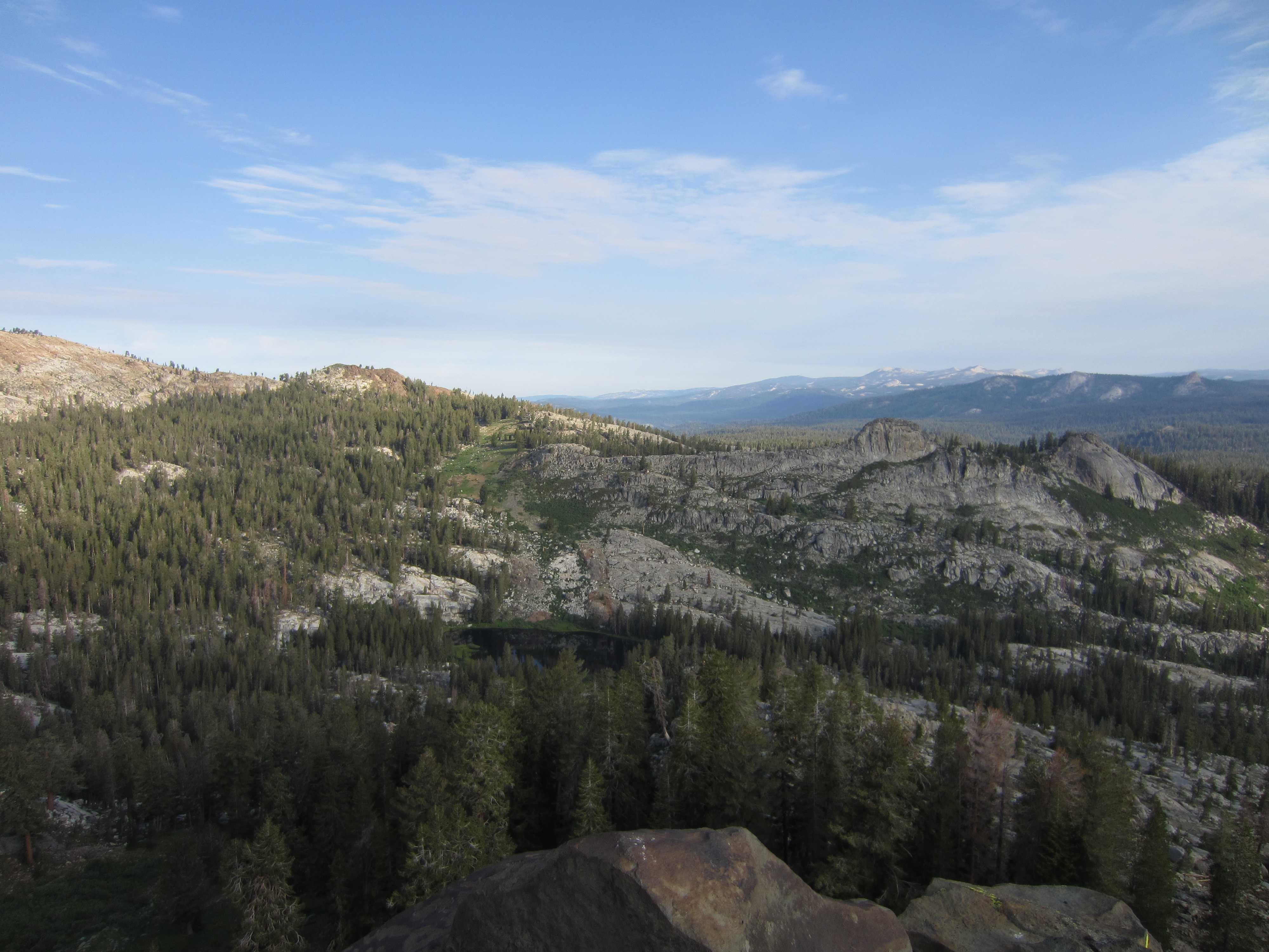
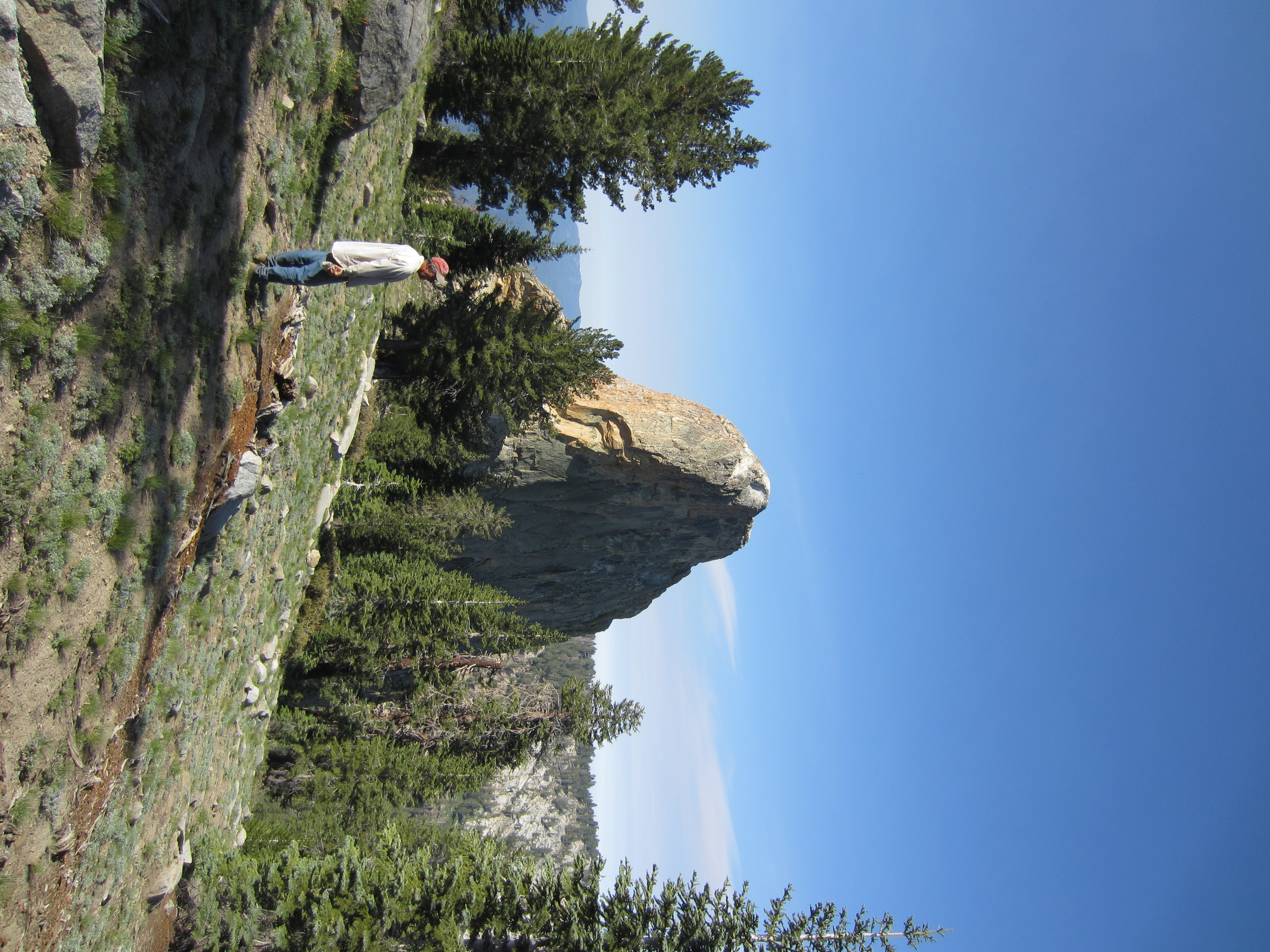
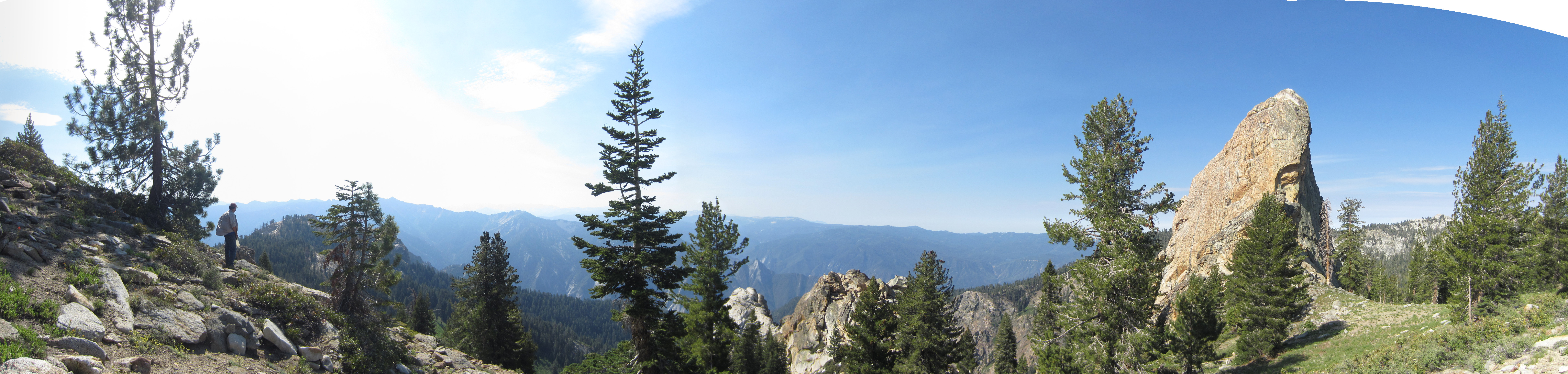
We stored our packs in a tree near the old trail junction between the trail that once headed up to Geraldine Lakes and the trail that still gets use. That trail heads down into Kings Canyon National Park and Tehipite Valley. This panorama is from a bare granite ridgeline still inside the wilderness. Tea Kettle Dome is on the left and the mountains in the middle are well within Kings Canyon National Park.

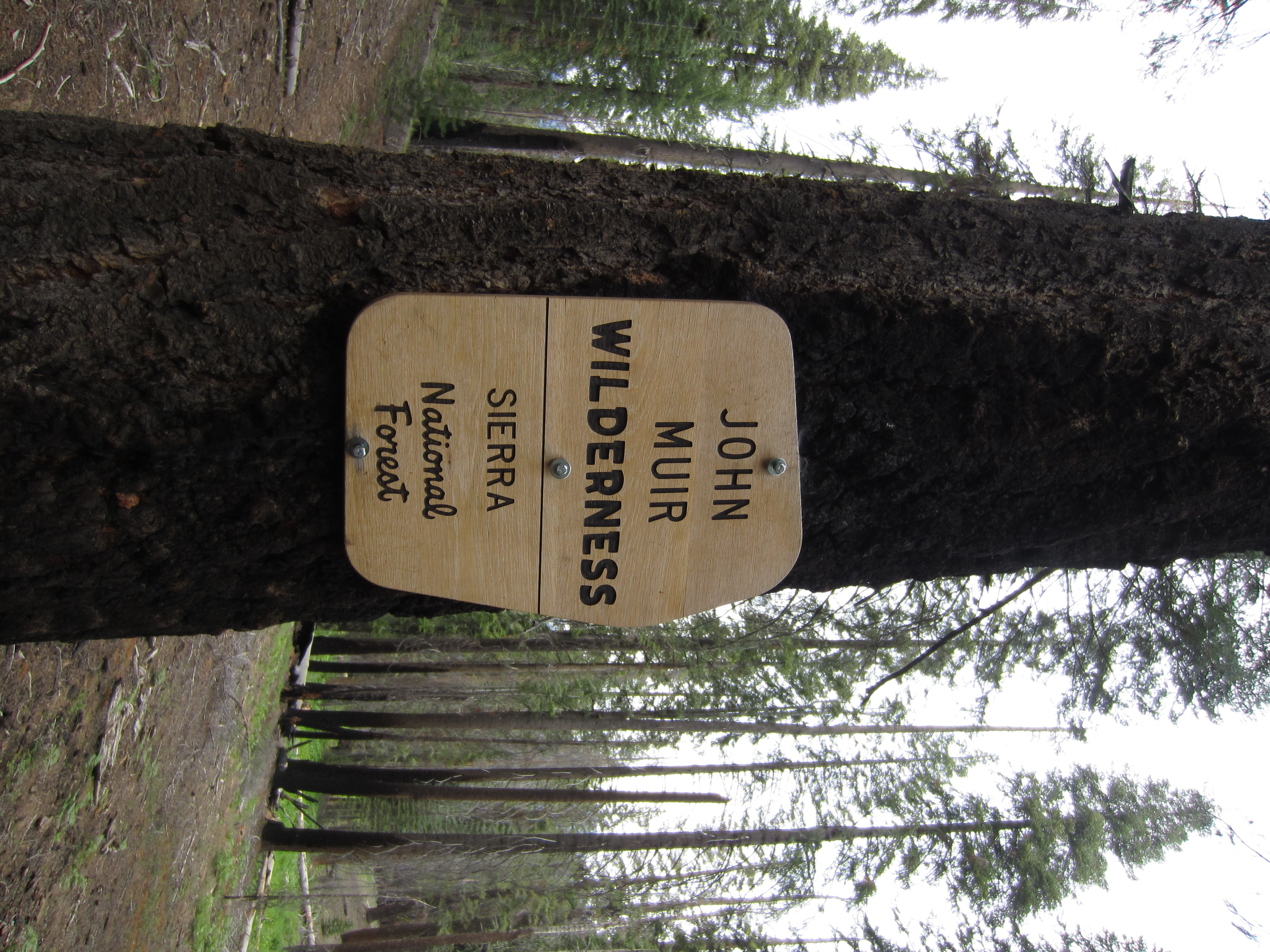
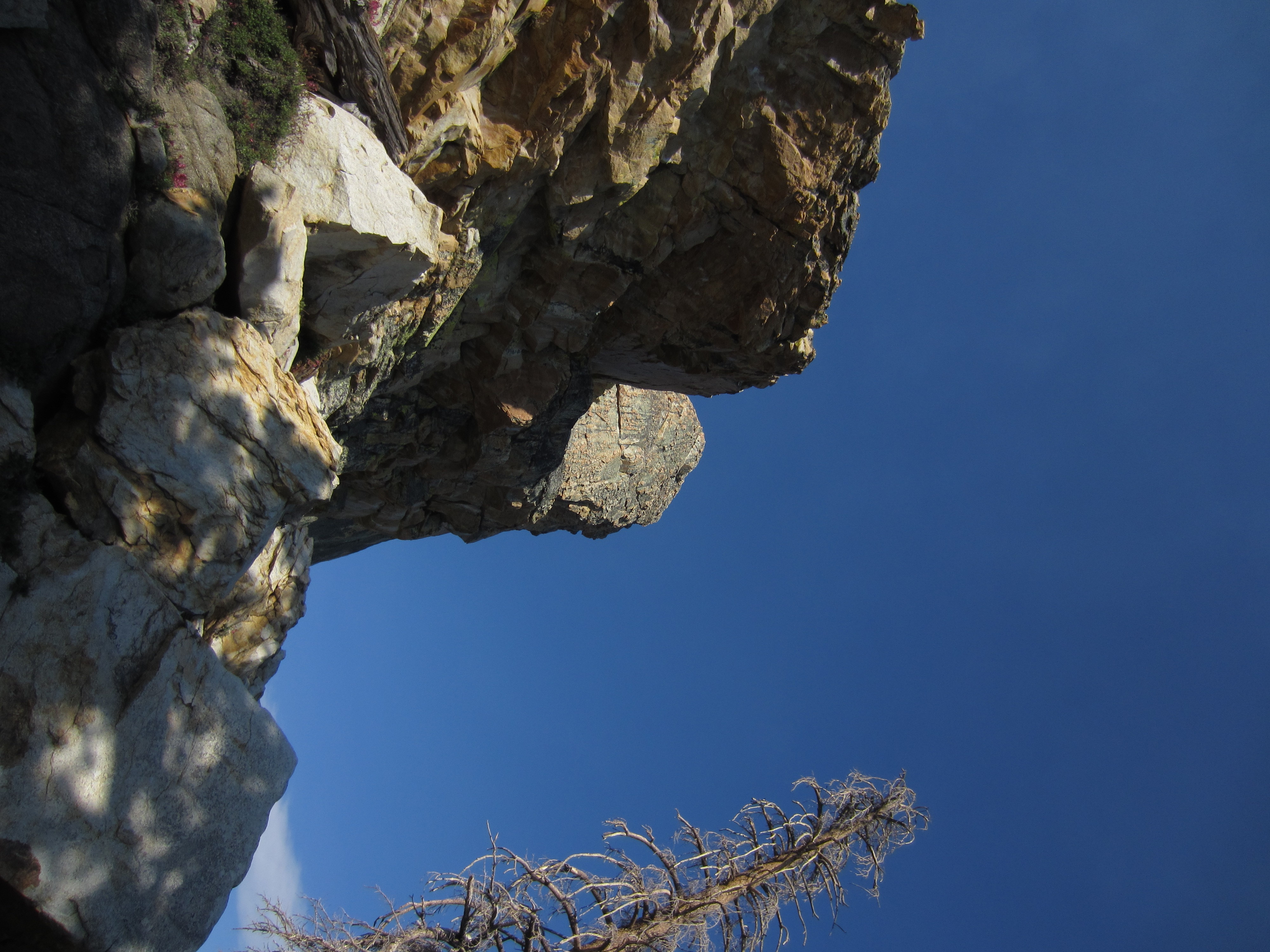
The park boundary.
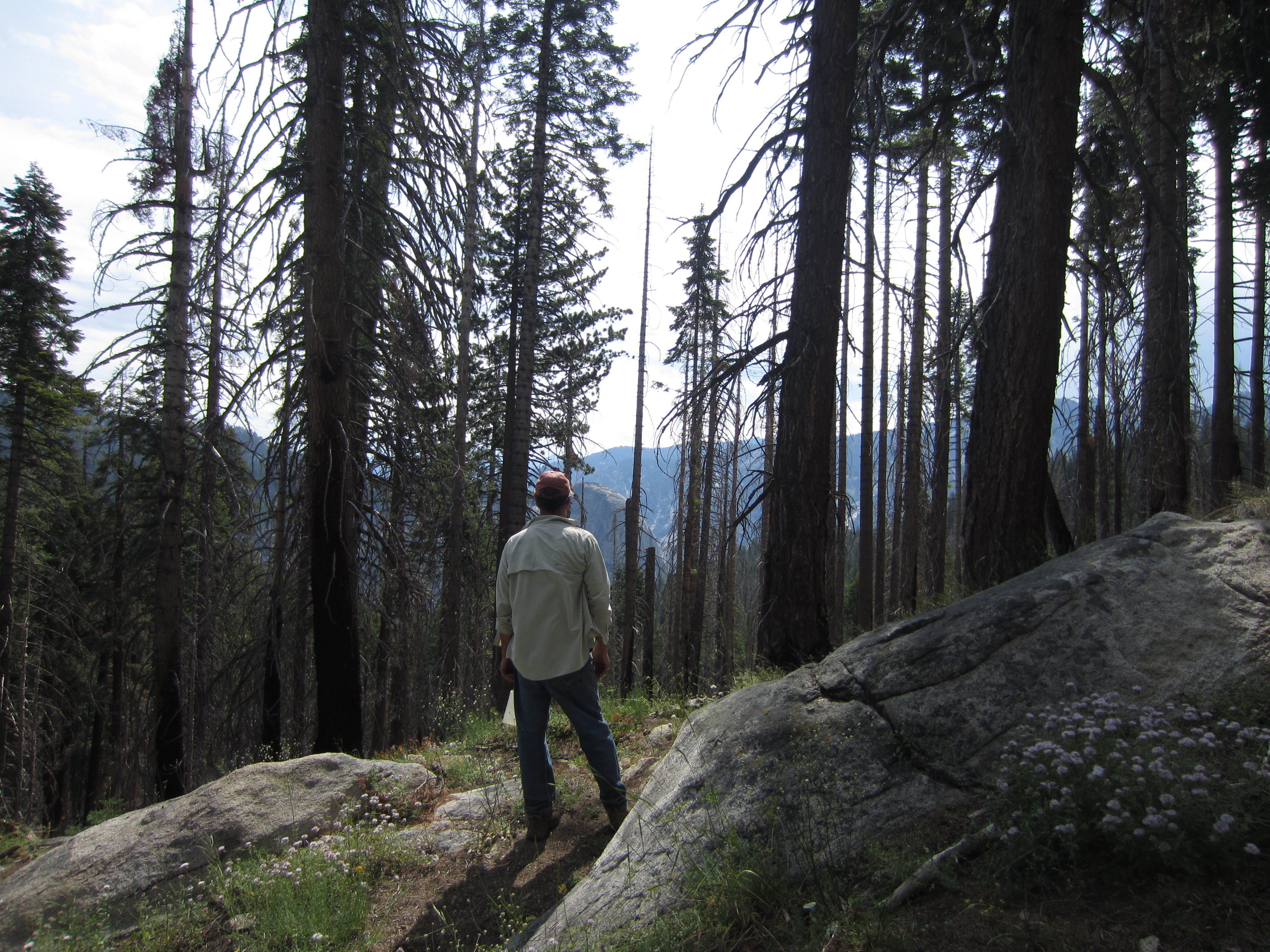
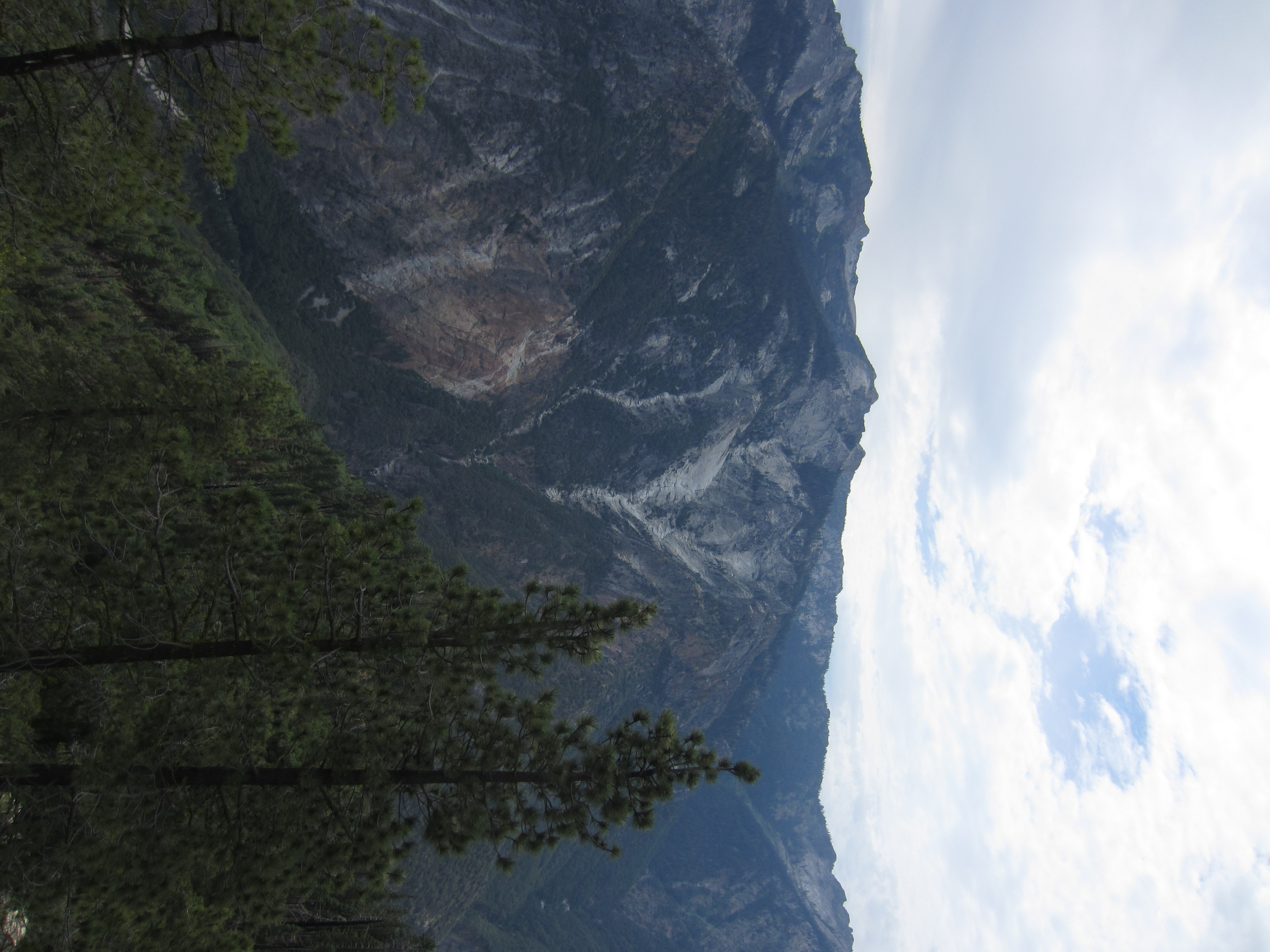
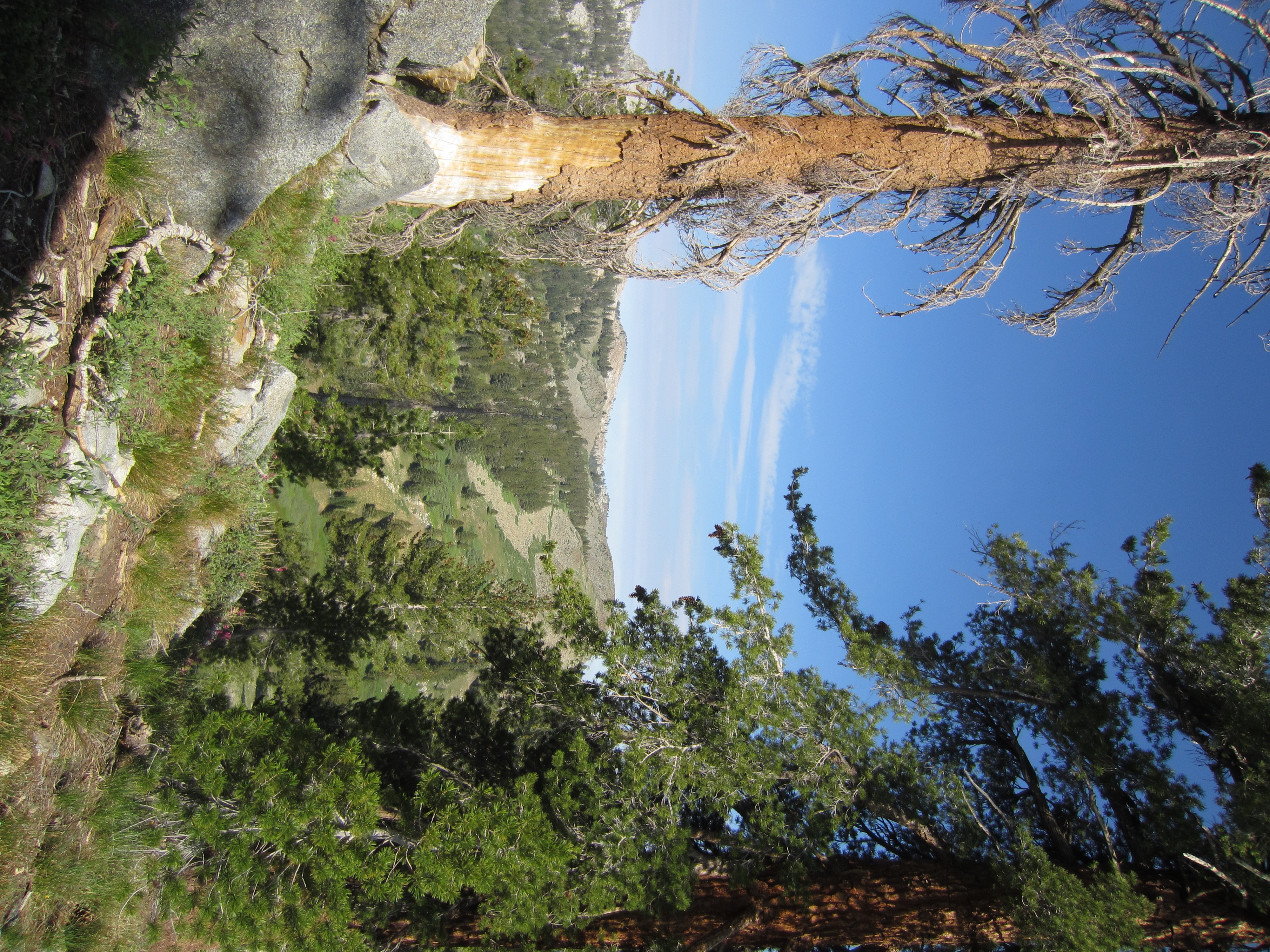
Almost to the edge of the canyon. Before this area burned a few years ago, you never would have guessed there is a multi-thousand-foot-deep canyon just ahead.

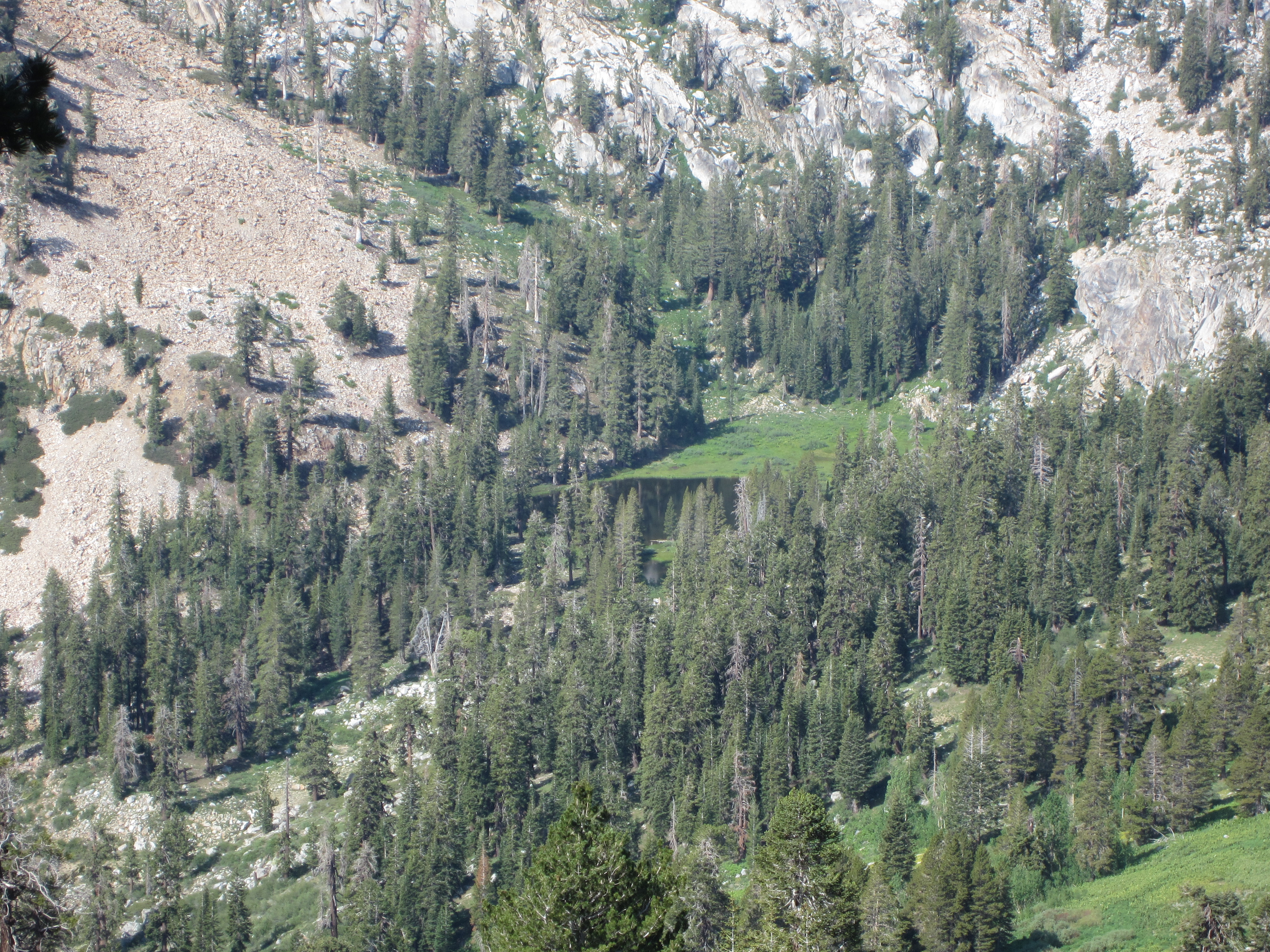
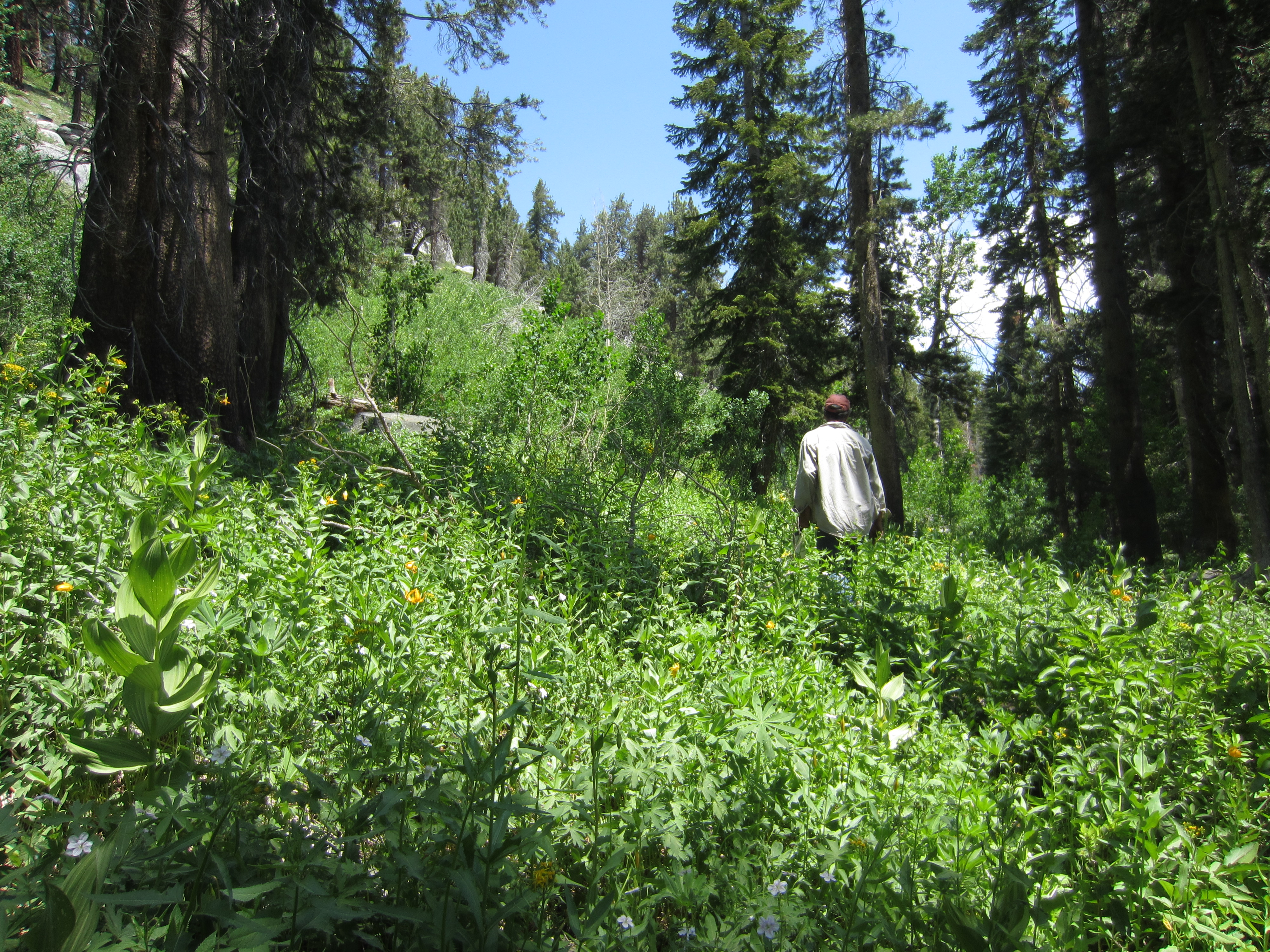
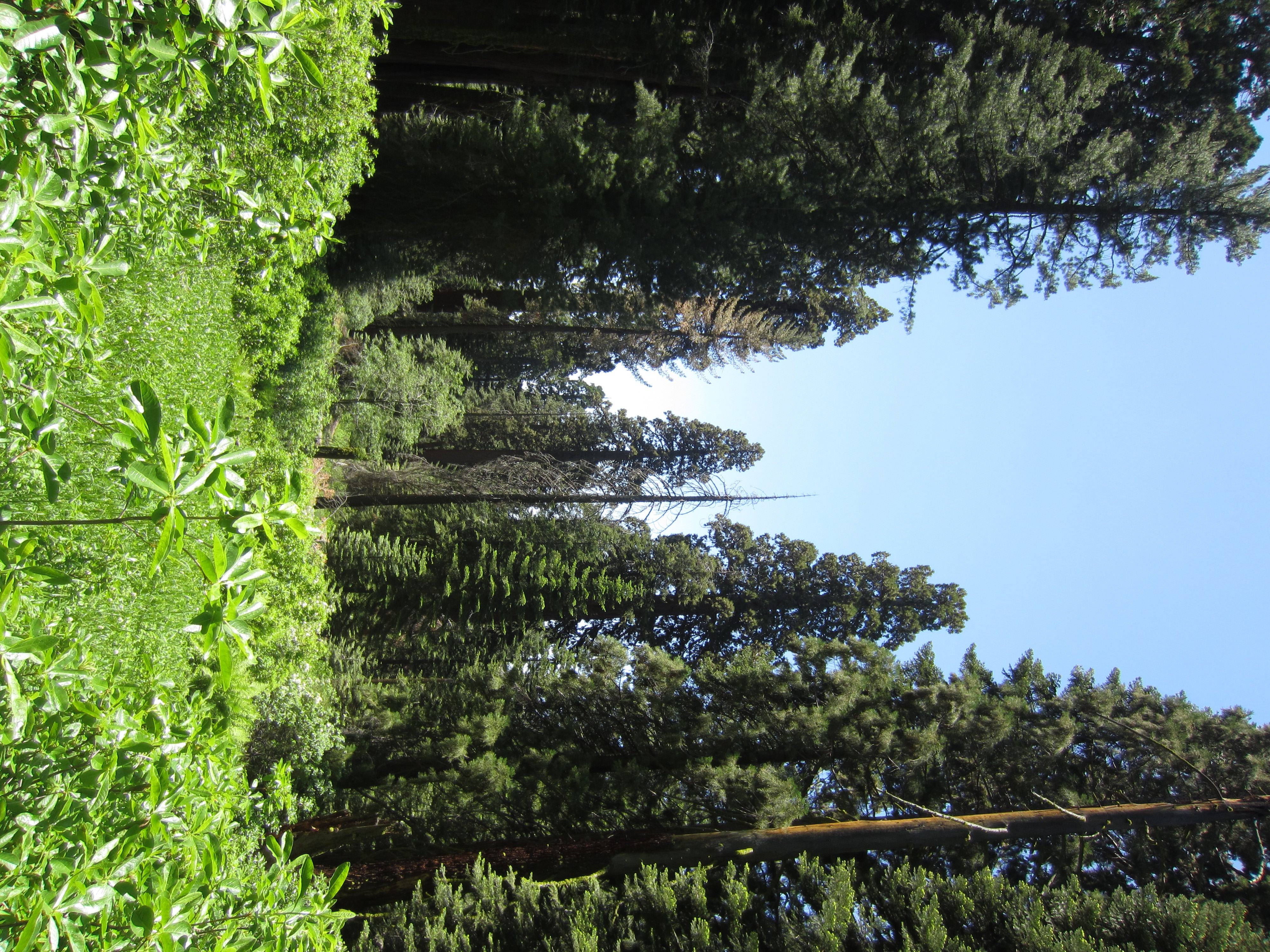
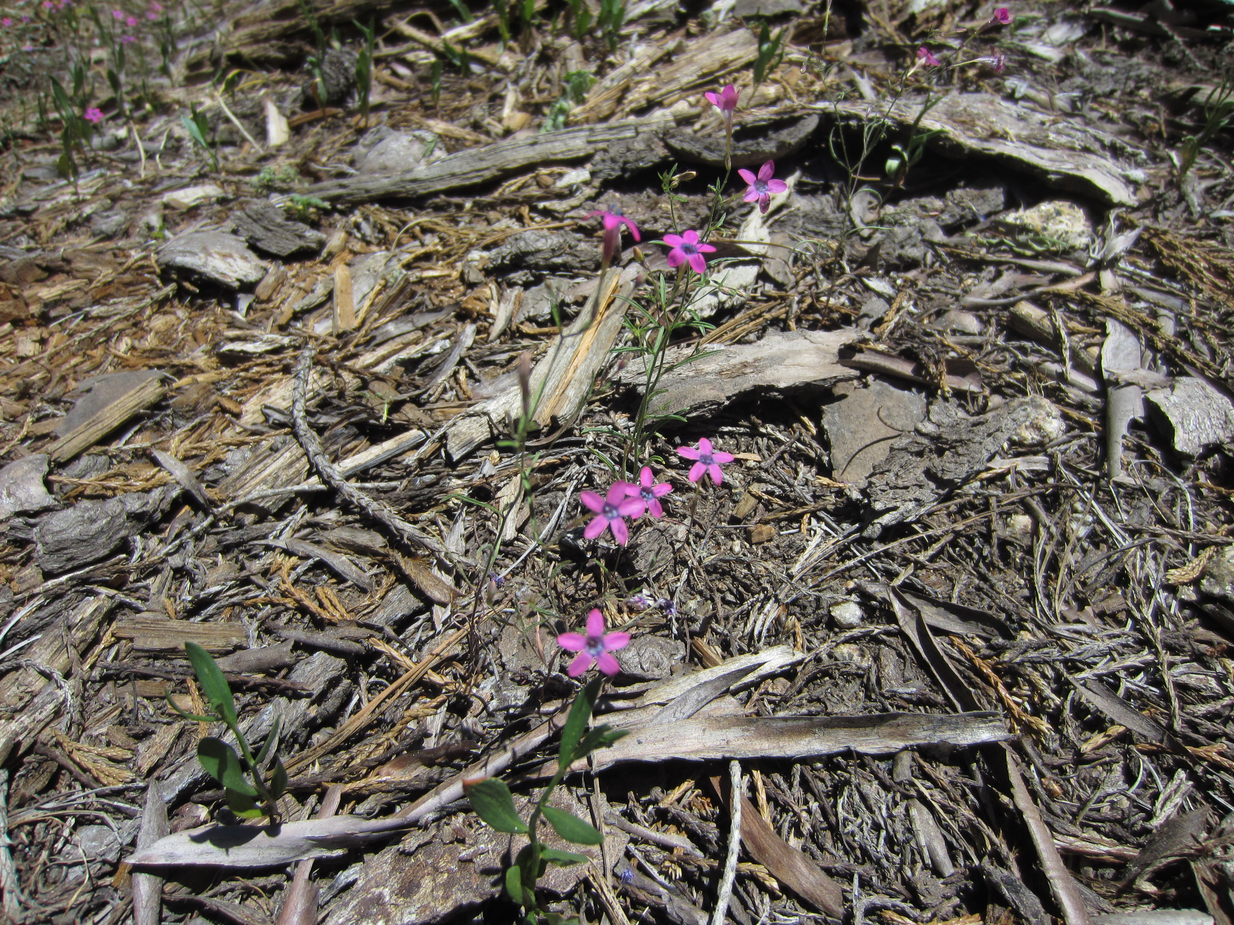
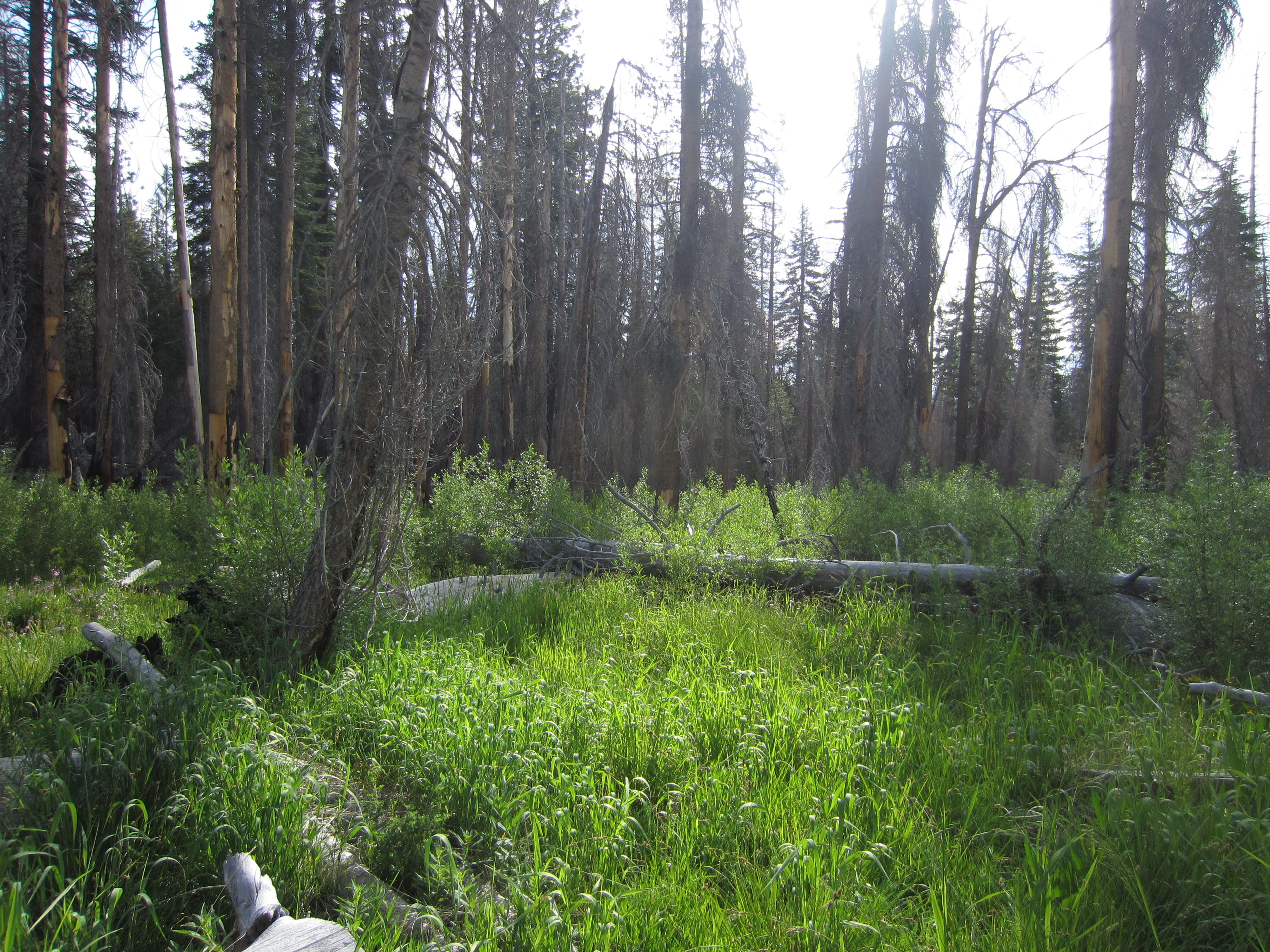
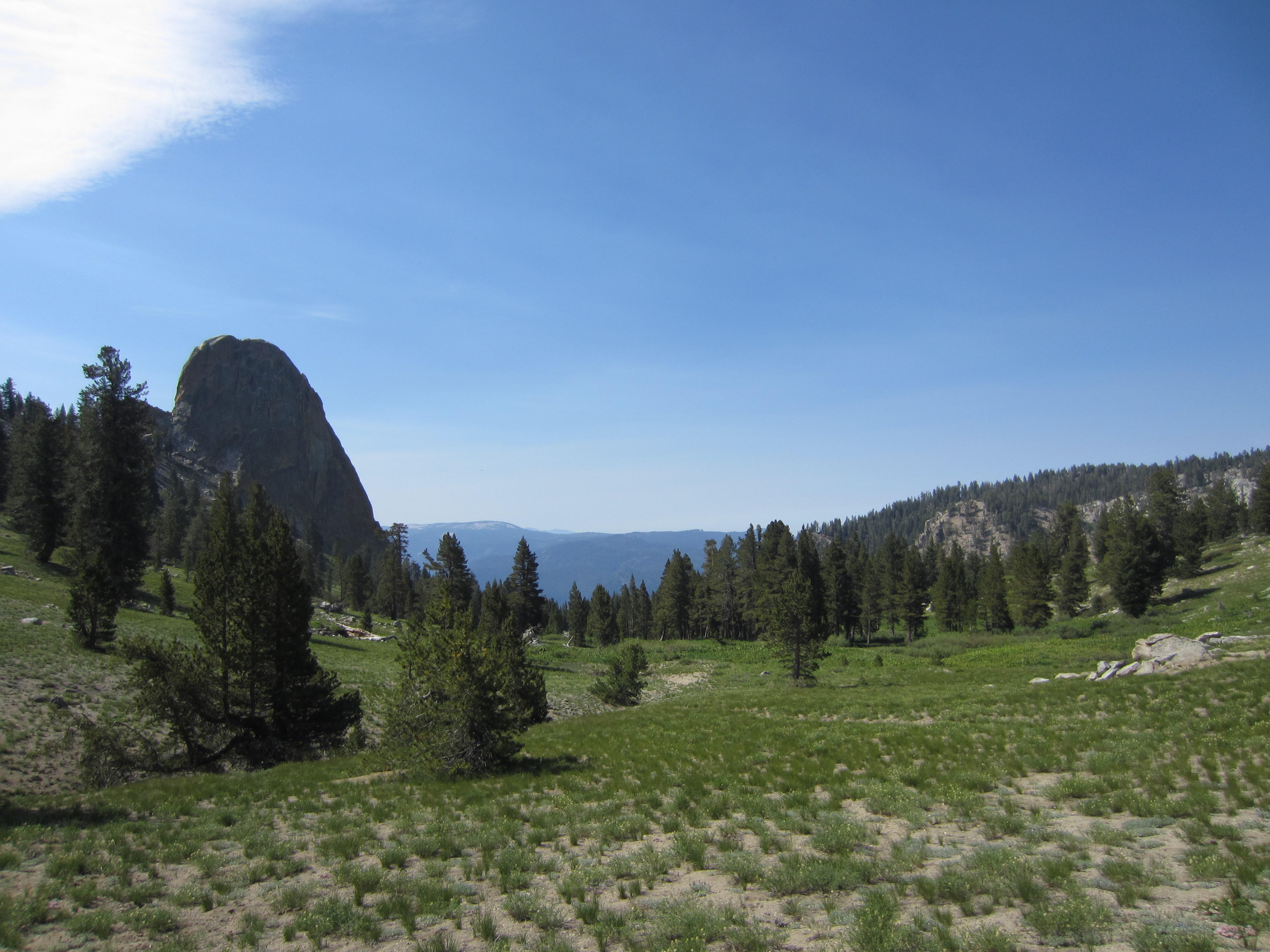
A rich meadow along the way to the canyon.

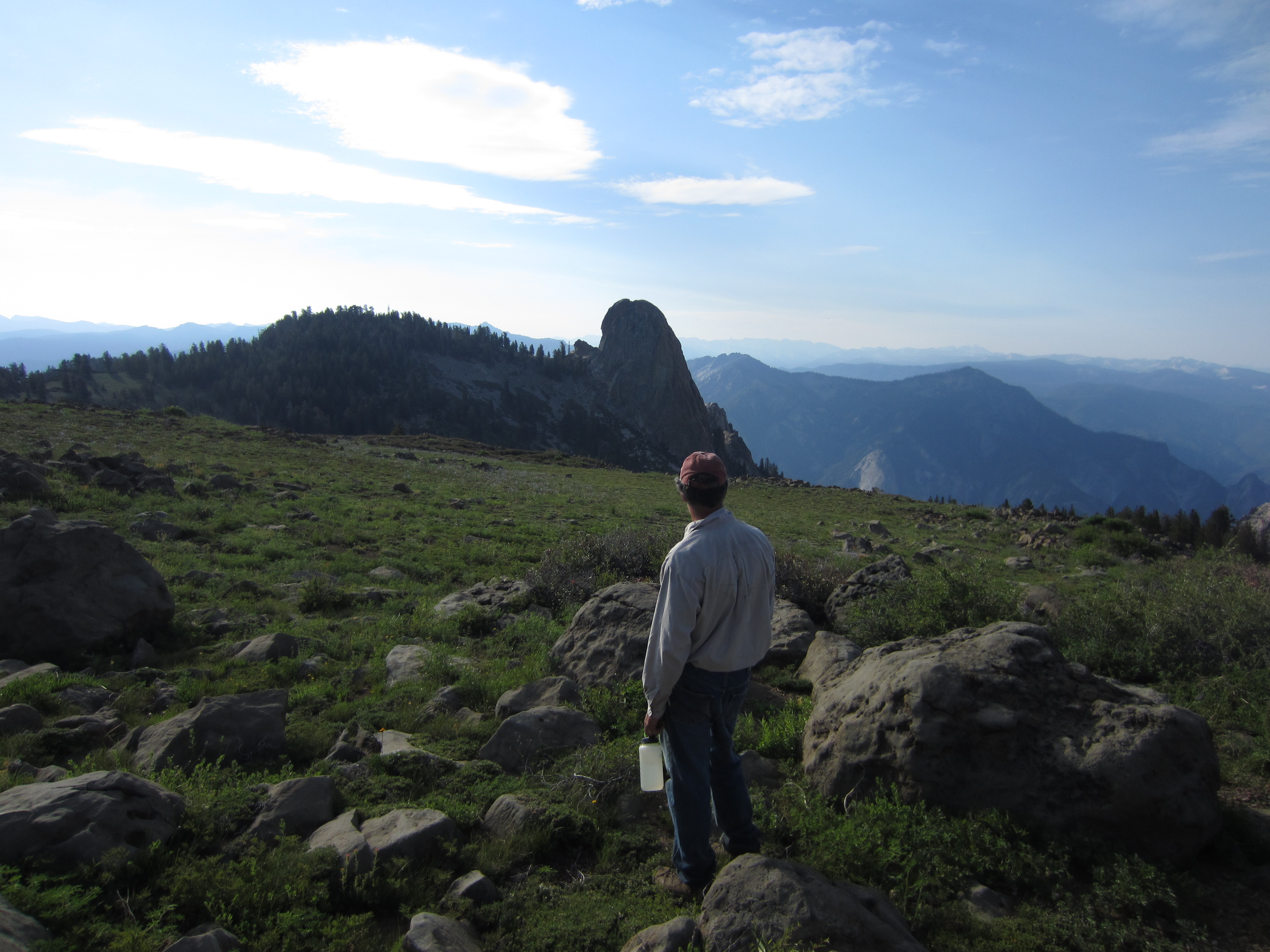
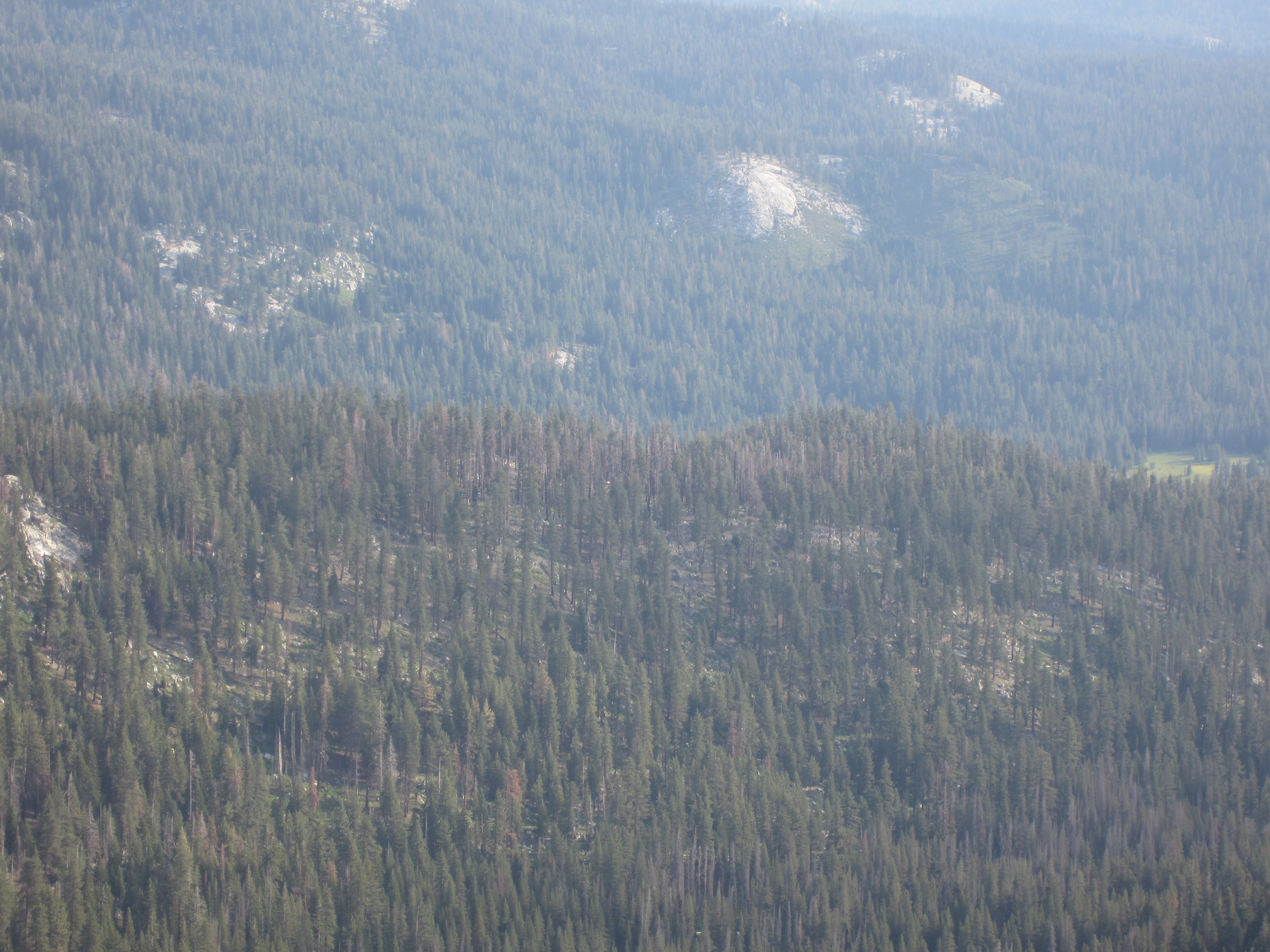
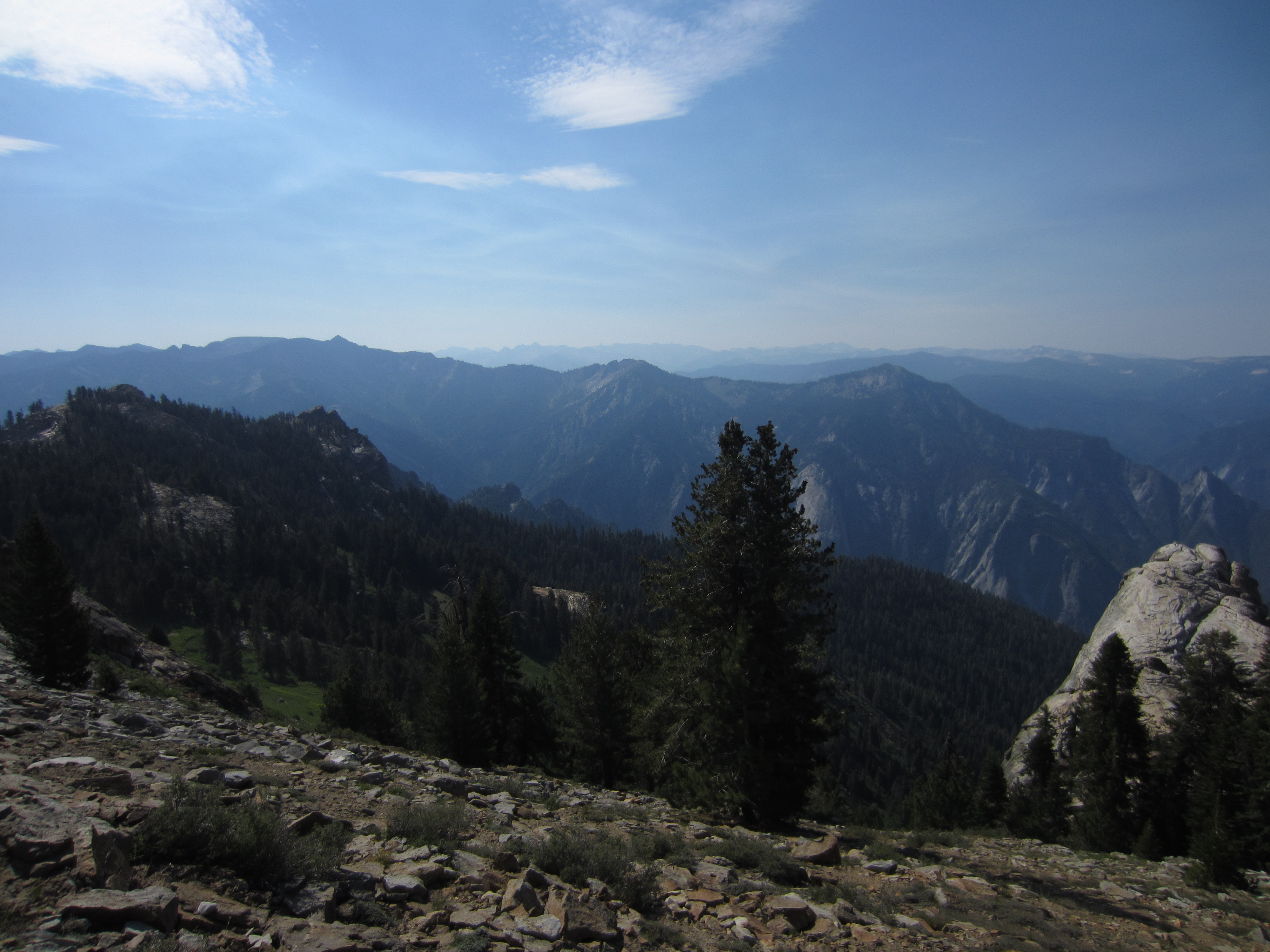
The big canyon emerges. Tehipite Dome is just left of center.

The benchmark at the lip of the canyon.

That’s a big, deep canyon. I was at the top end of this canyon once in 1996. That area is at least 25 miles upriver from our vantage point.
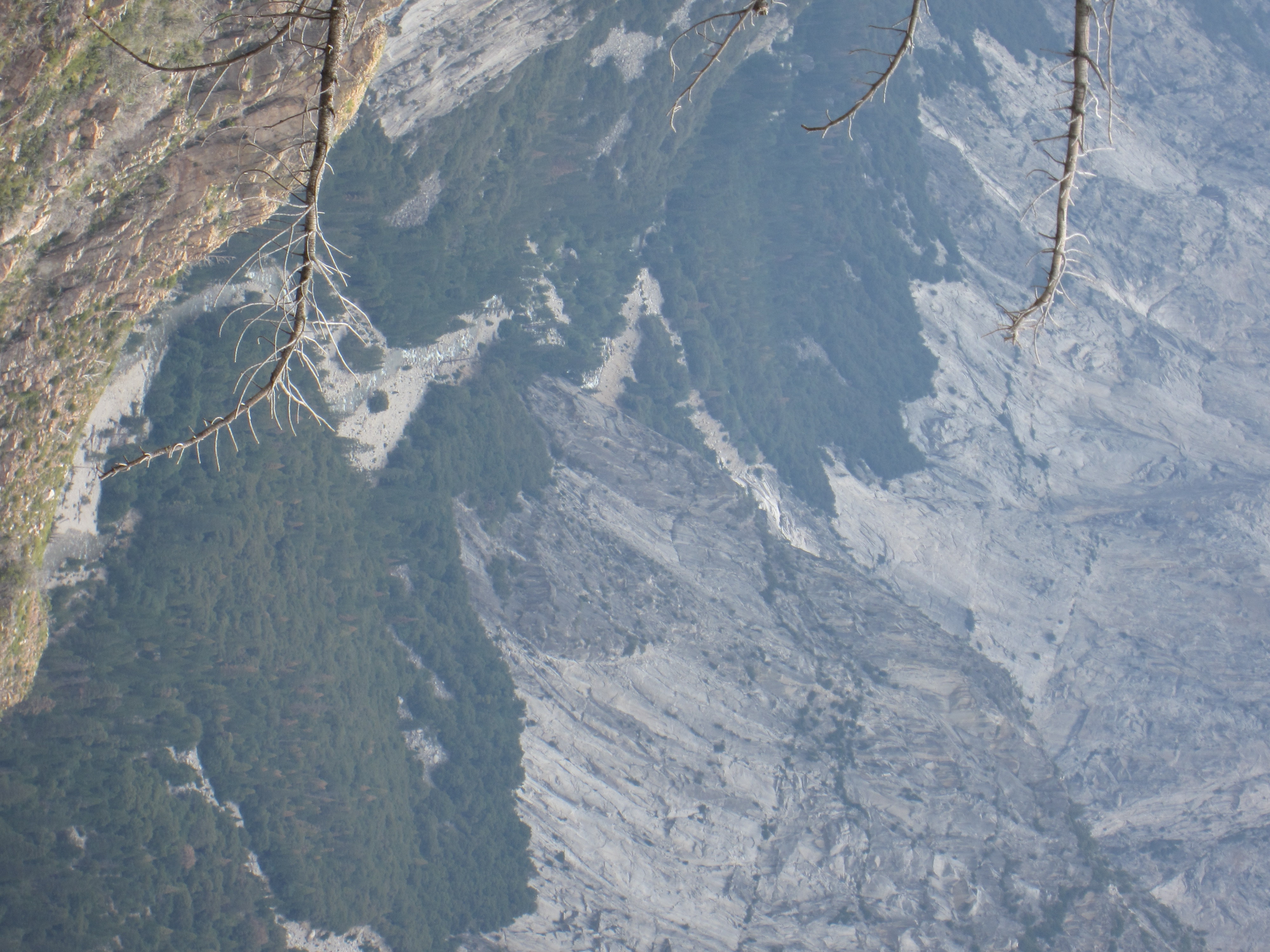
A good storm came through a couple years ago and gutted out much of the canyon and the mountain streams on the other side of the canyon from our overlook.
It is hard to capture just how huge and surprising this canyon is. Someday I’ll come back and hike through the canyon.

Returning from the National Park, we retraced our path back to our hanging packs.

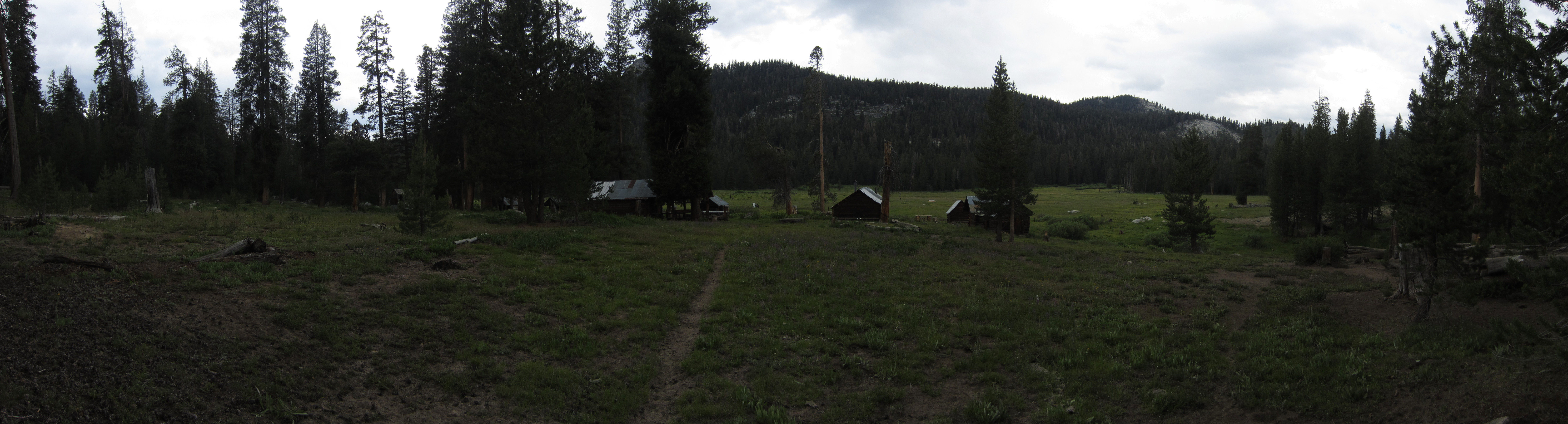
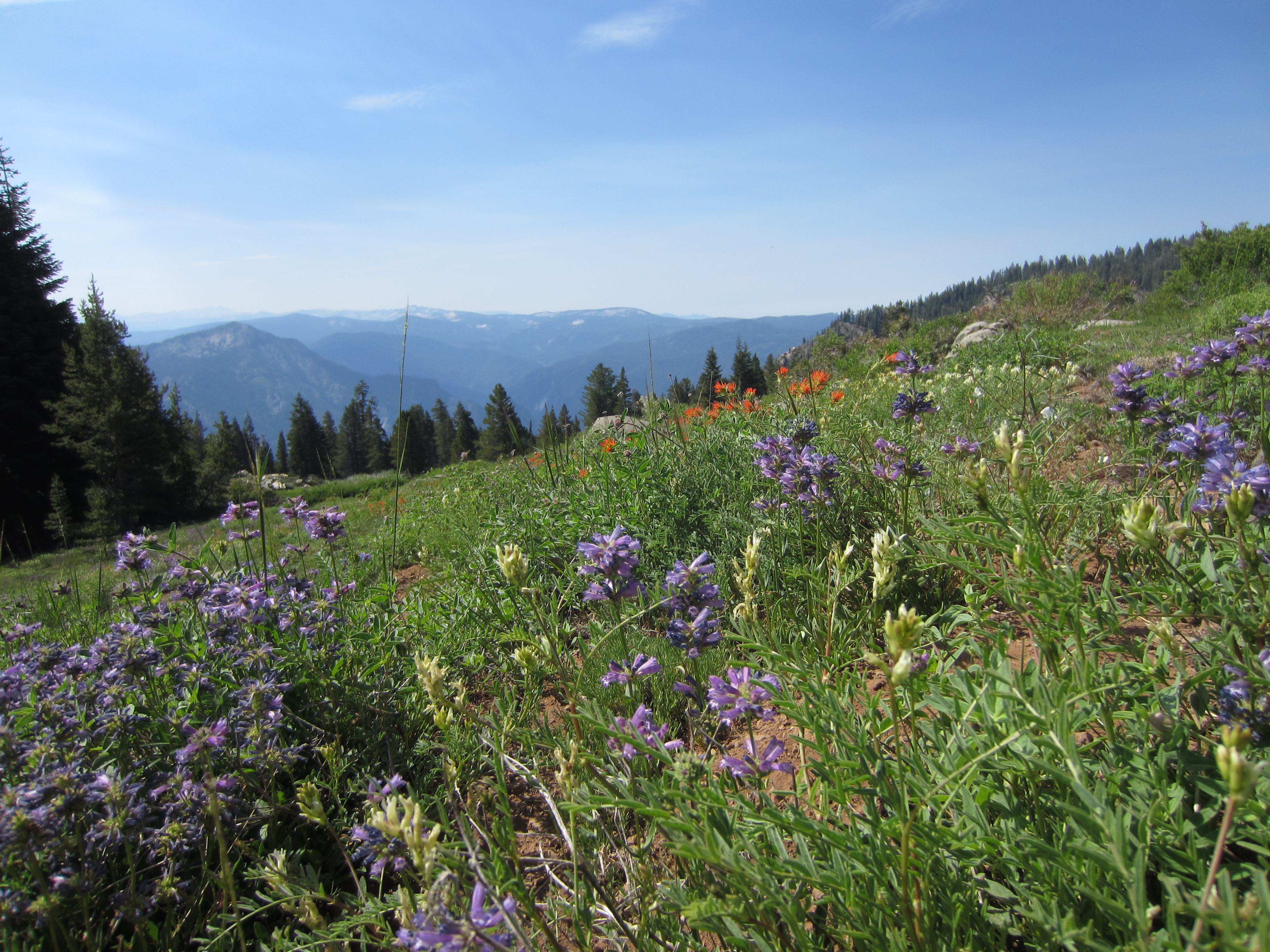
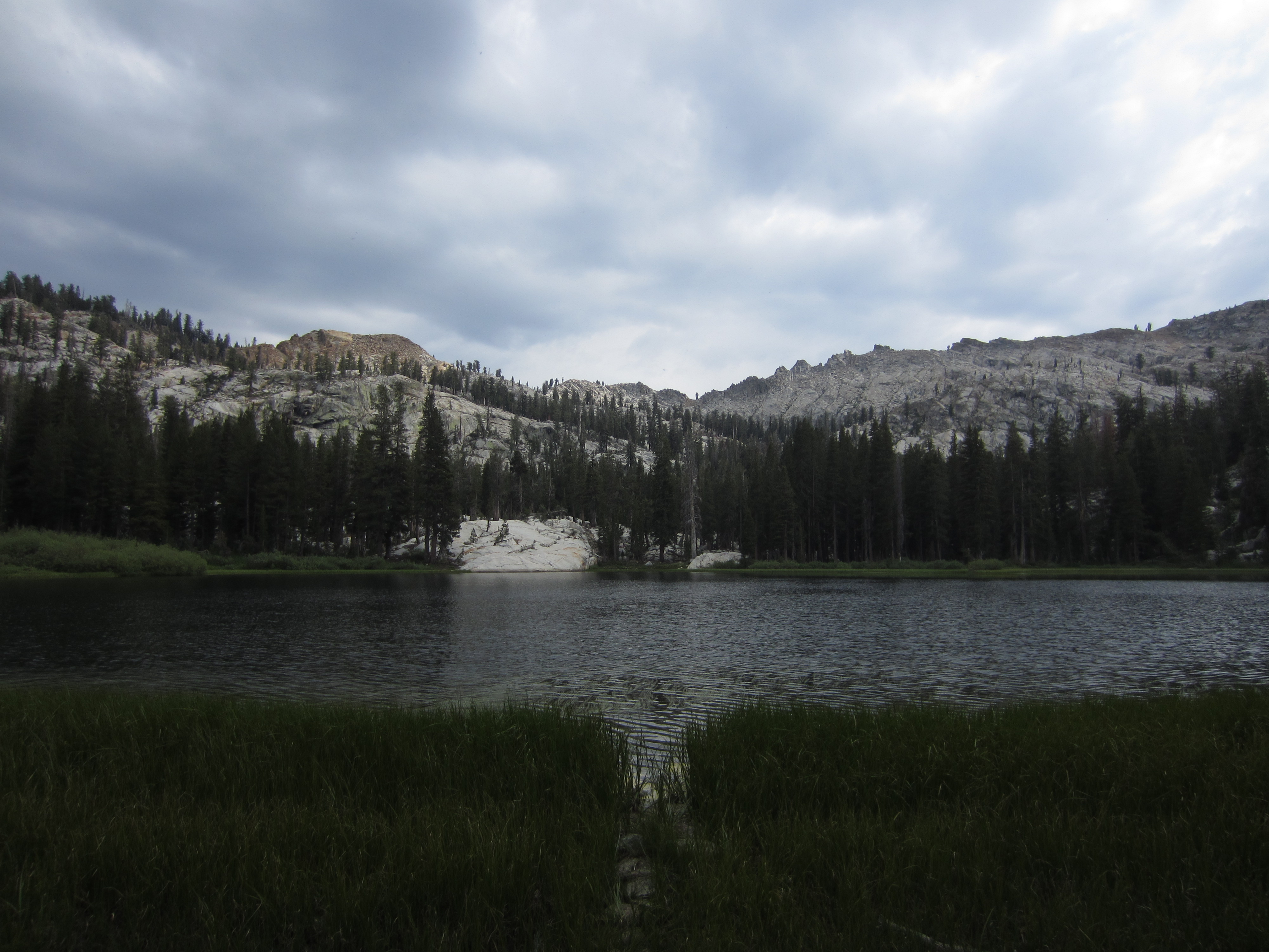
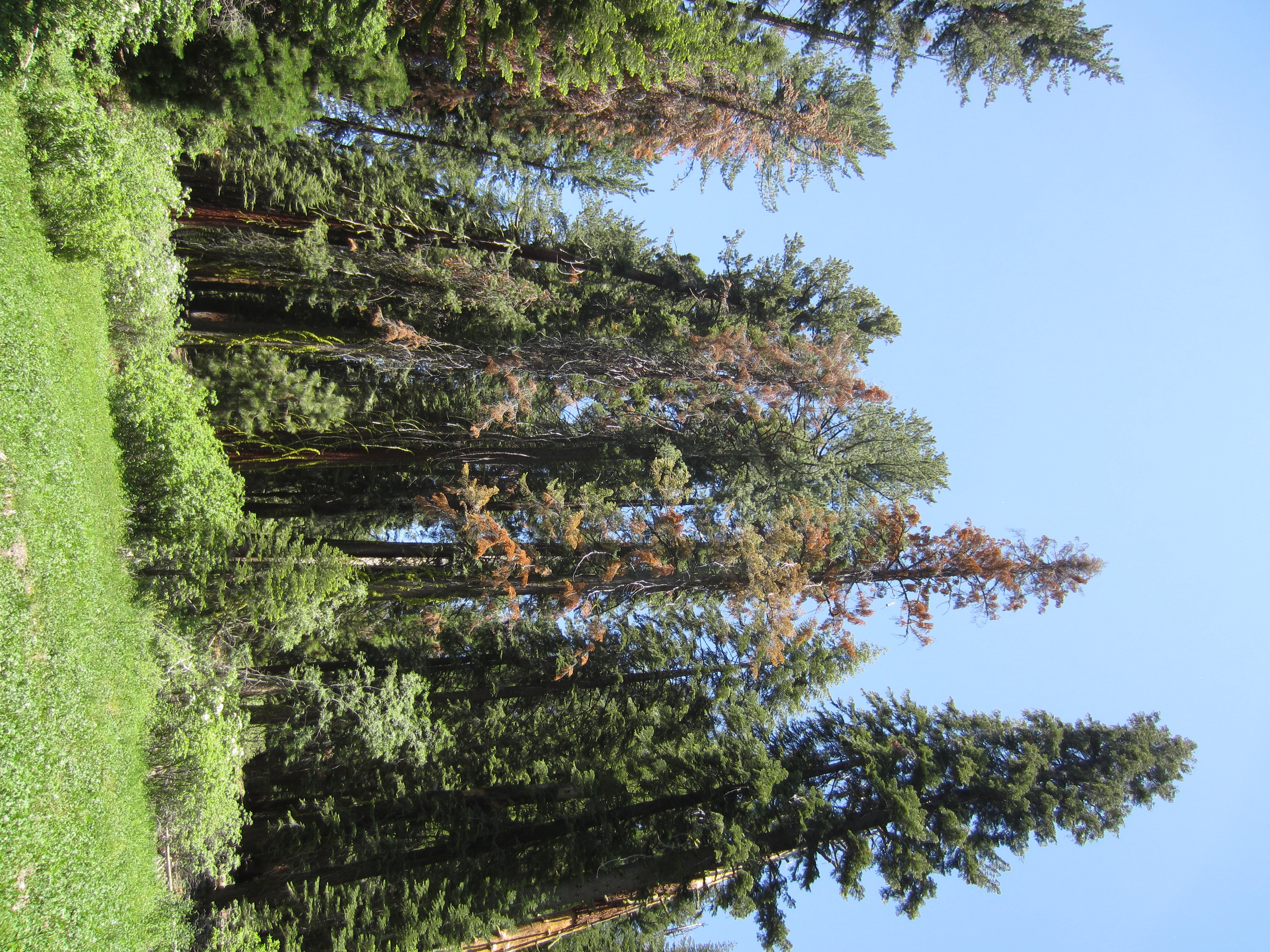
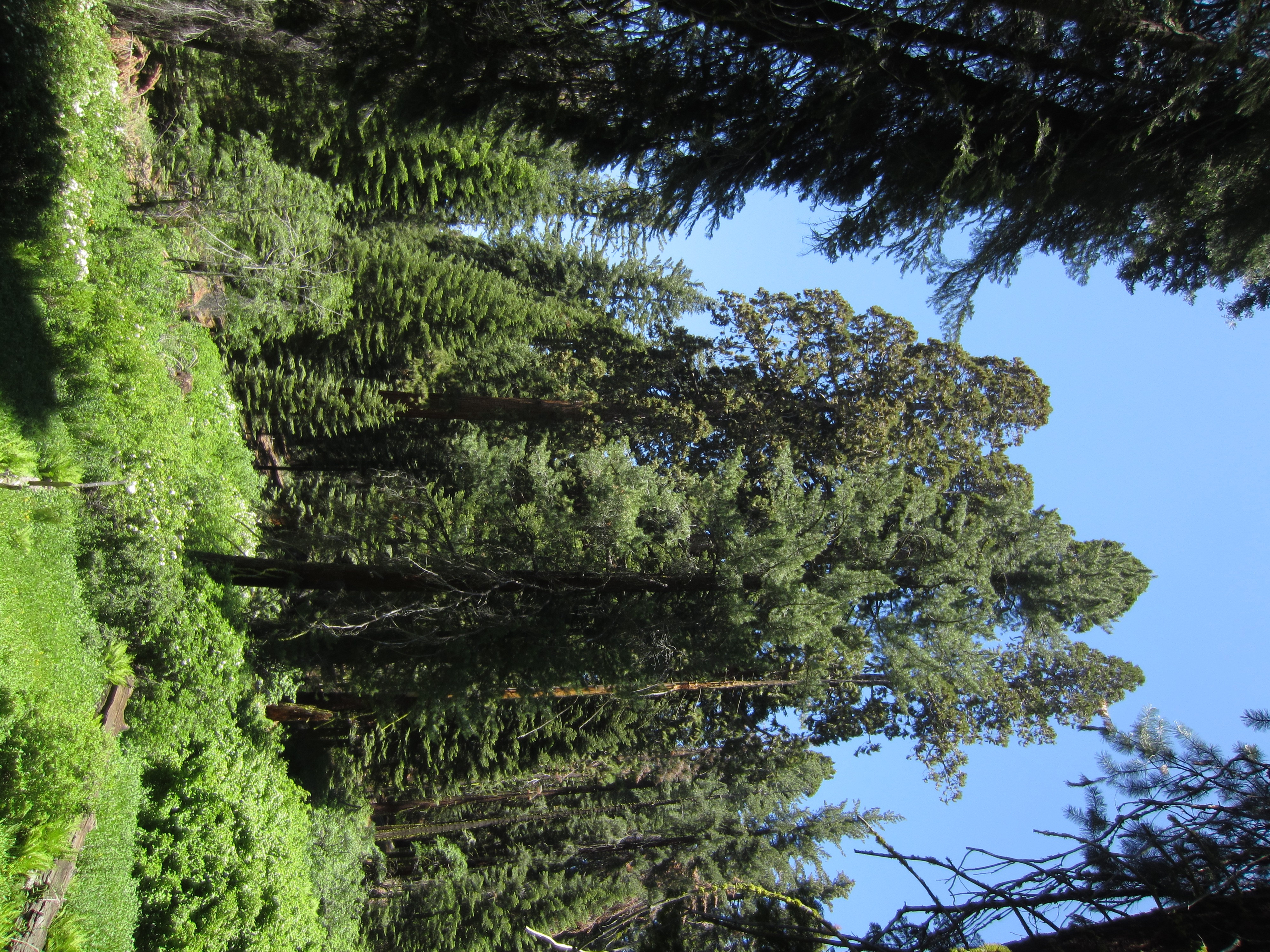
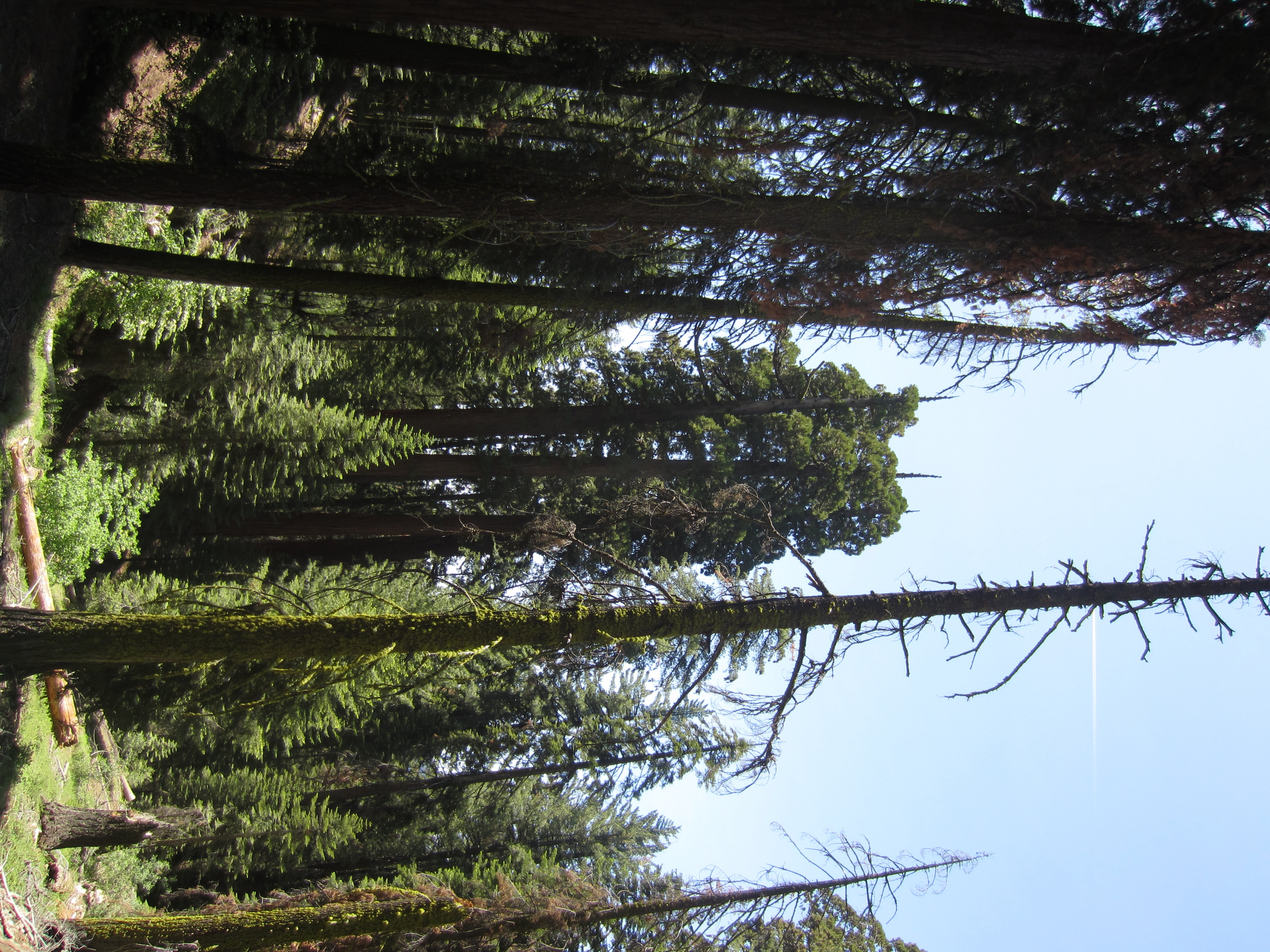
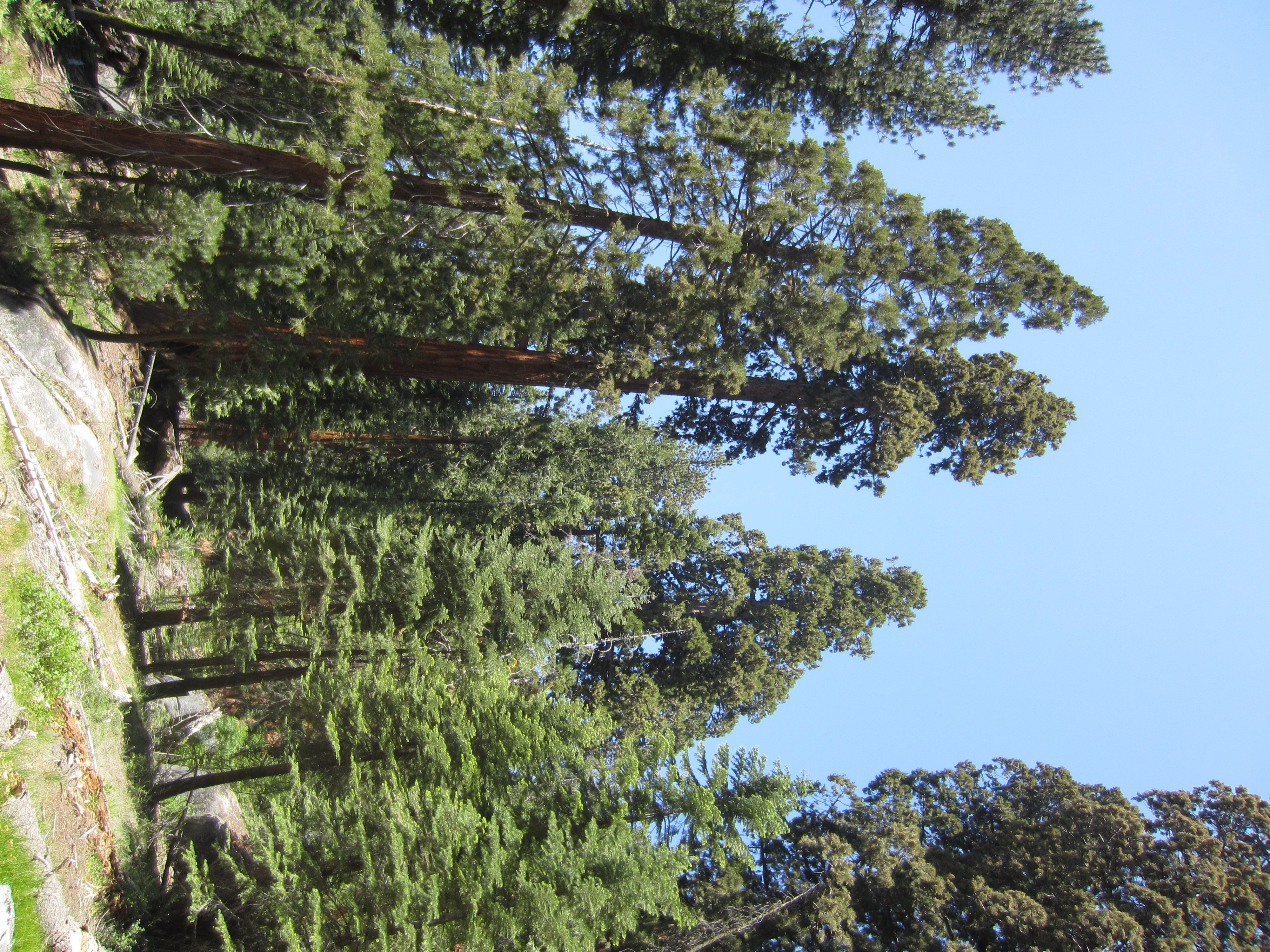
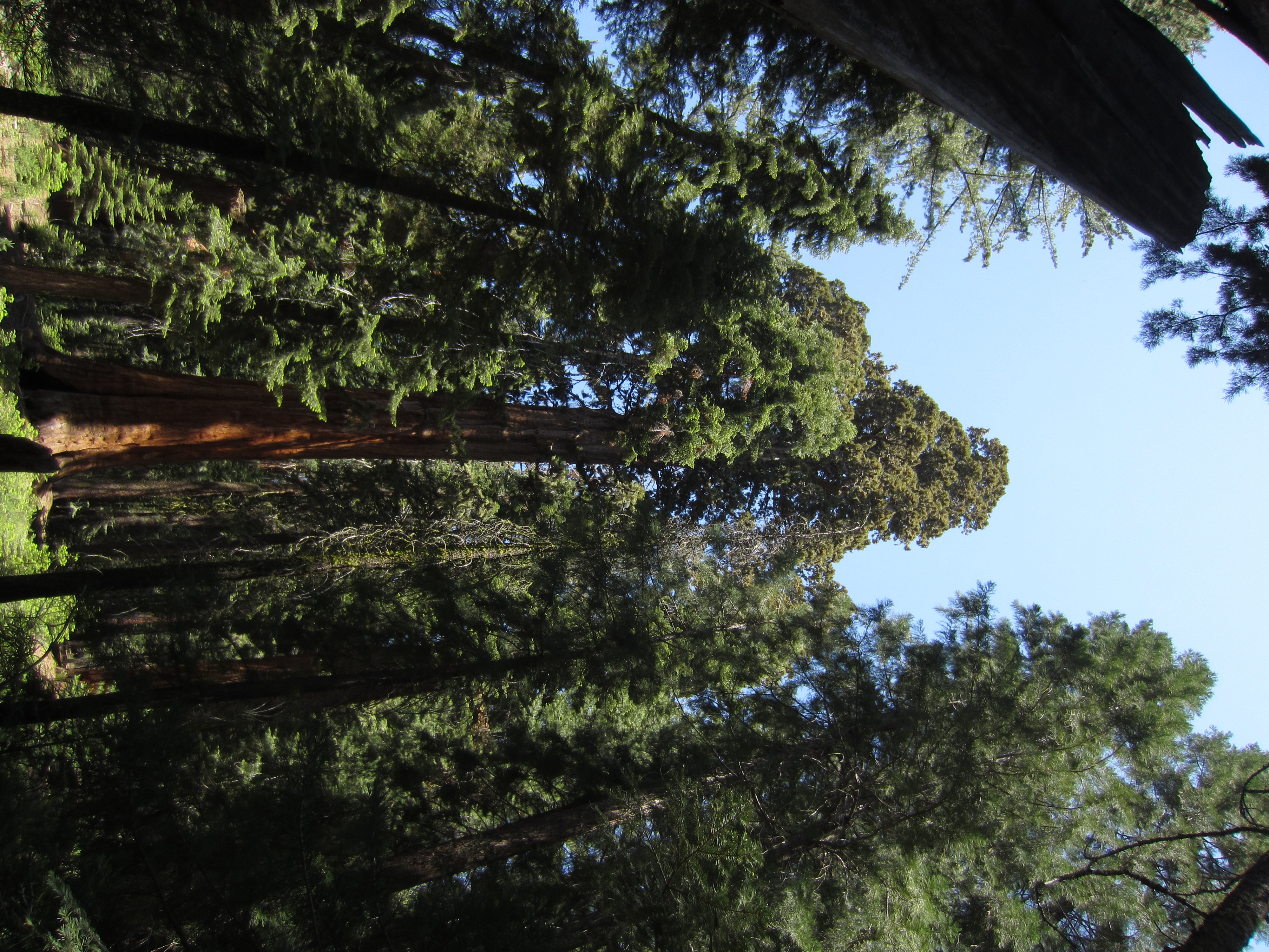
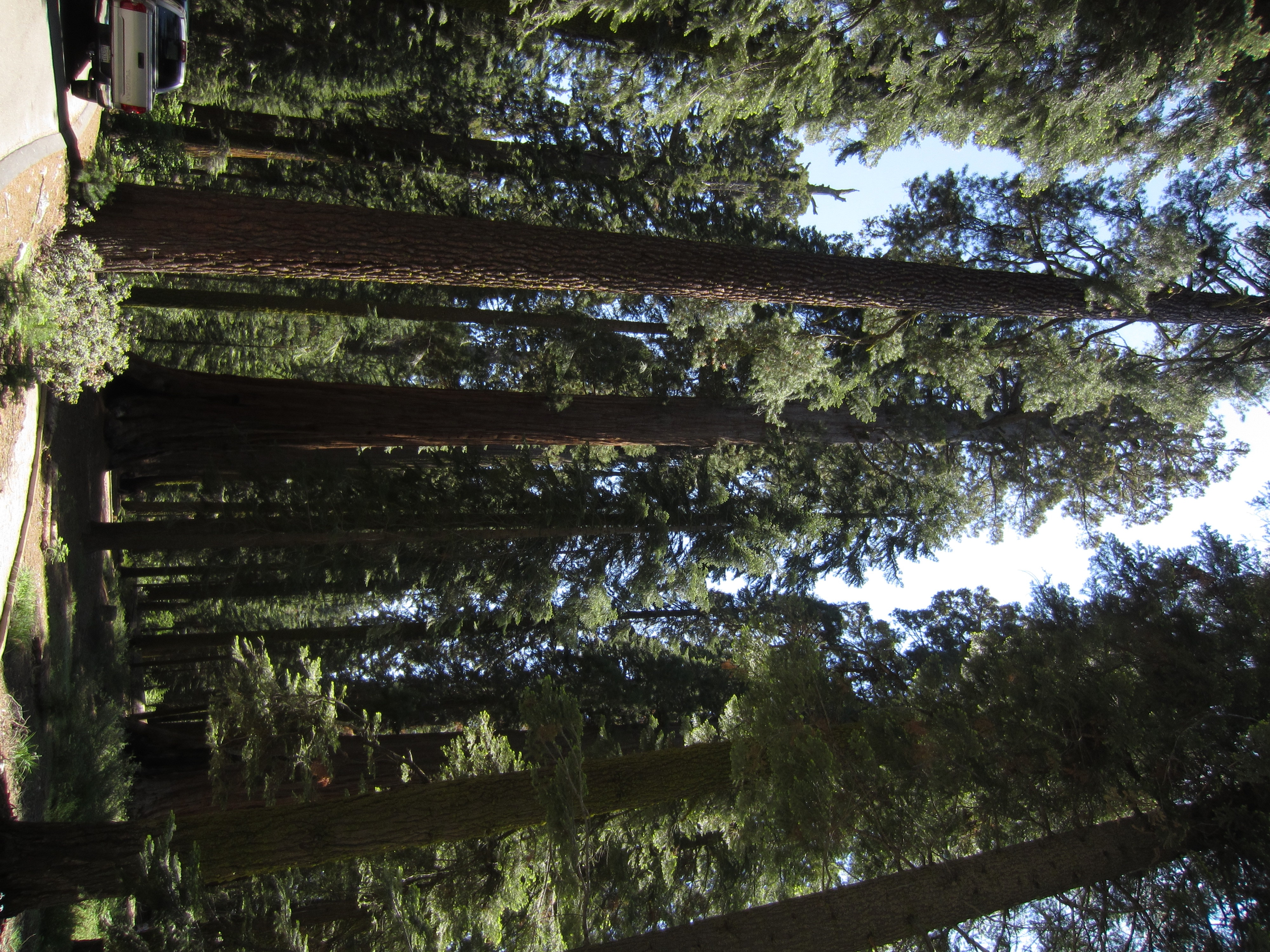
Walking through one of the many meadows in Crown Valley.

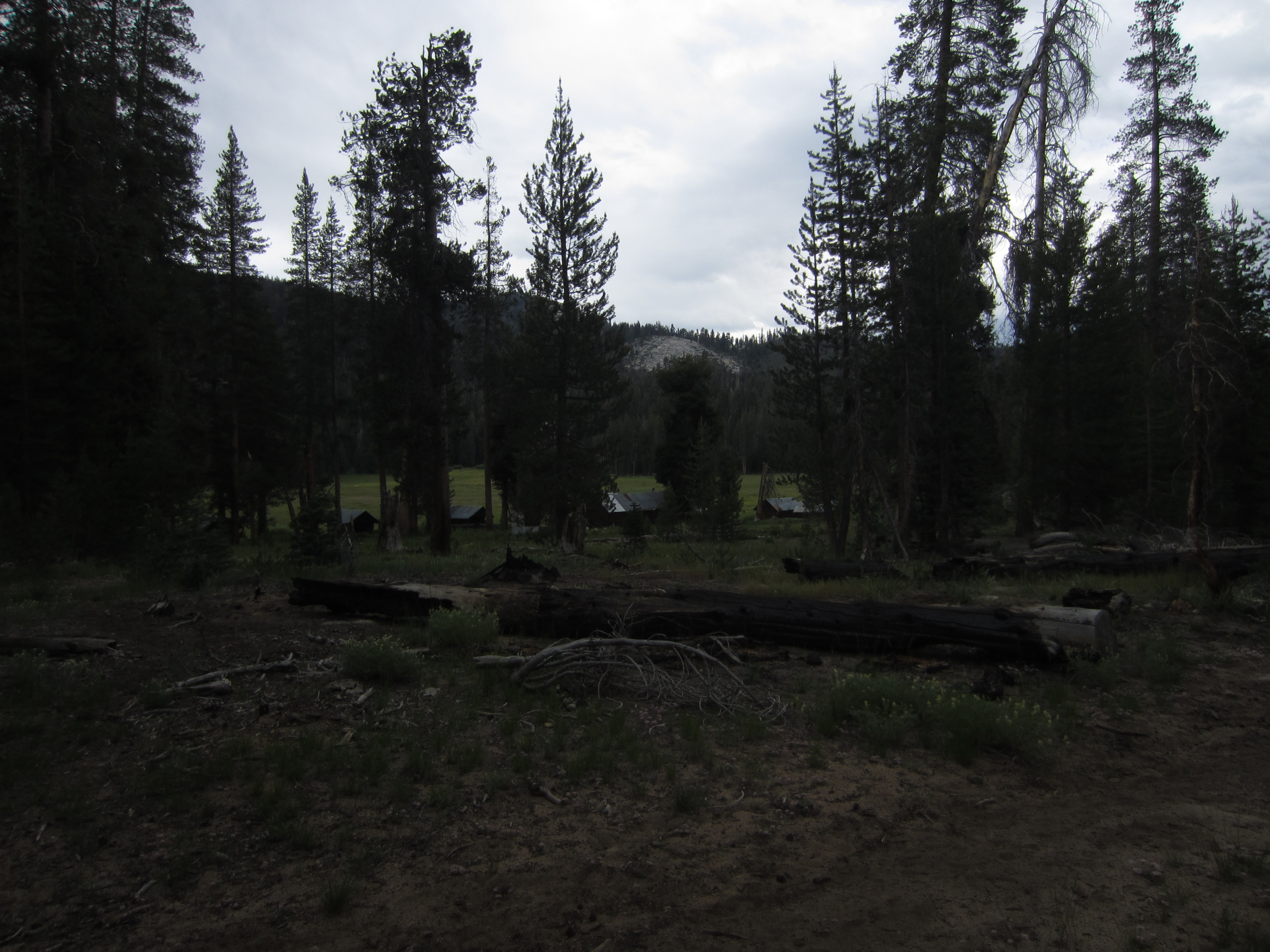
The old Dude Ranch in Crown Valley named Johnson’s Cow Camp. It was established in 1916 and the Johnson family still comes every summer to their land.
Little cabins at the edge of the meadow.

They even have a small pelton wheel electric generator to make some power.


Ike Smit’s fake tombstone on the way out of Crown Valley.
Yes, the tomb stone is fake. I spent the summer of 1975 at the Crown Valley Guard Station. At the time, there was a wooden “tombstone” along the trail a ways below the guard station heading towards Crown Valley. I asked Clyde Johnson about it one day when he was staying at Crown Valley. Clyde was in his 70’s and had been a teenager when his father bought Crown Valley from Rodgers (Rodgers Ridge is named after him) and the additional 5 – 40 acre parcels scattered around back there. At the time Johnson thought he had bought a total of 3000 acres but the USFS contested the validity of a number of the land claims and most were ruled not valid. In the 1920’s the Johnsons started a Dude ranch. It was quite popular and had 2 or 3 Ca. governors stay there. They had electricity form a big water wheel (located down the stream a ways from the current one), a couple cows for milk, etc, Clyde said they put up tombstone to impress the guests as they were brought in on horseback. In the 70’s I do not remember a name on it.
Dave Van Bossuyt’s recollections about the fake tombstone and the dude ranch that Clyde Johnson and his family used to run in Crown Valley.

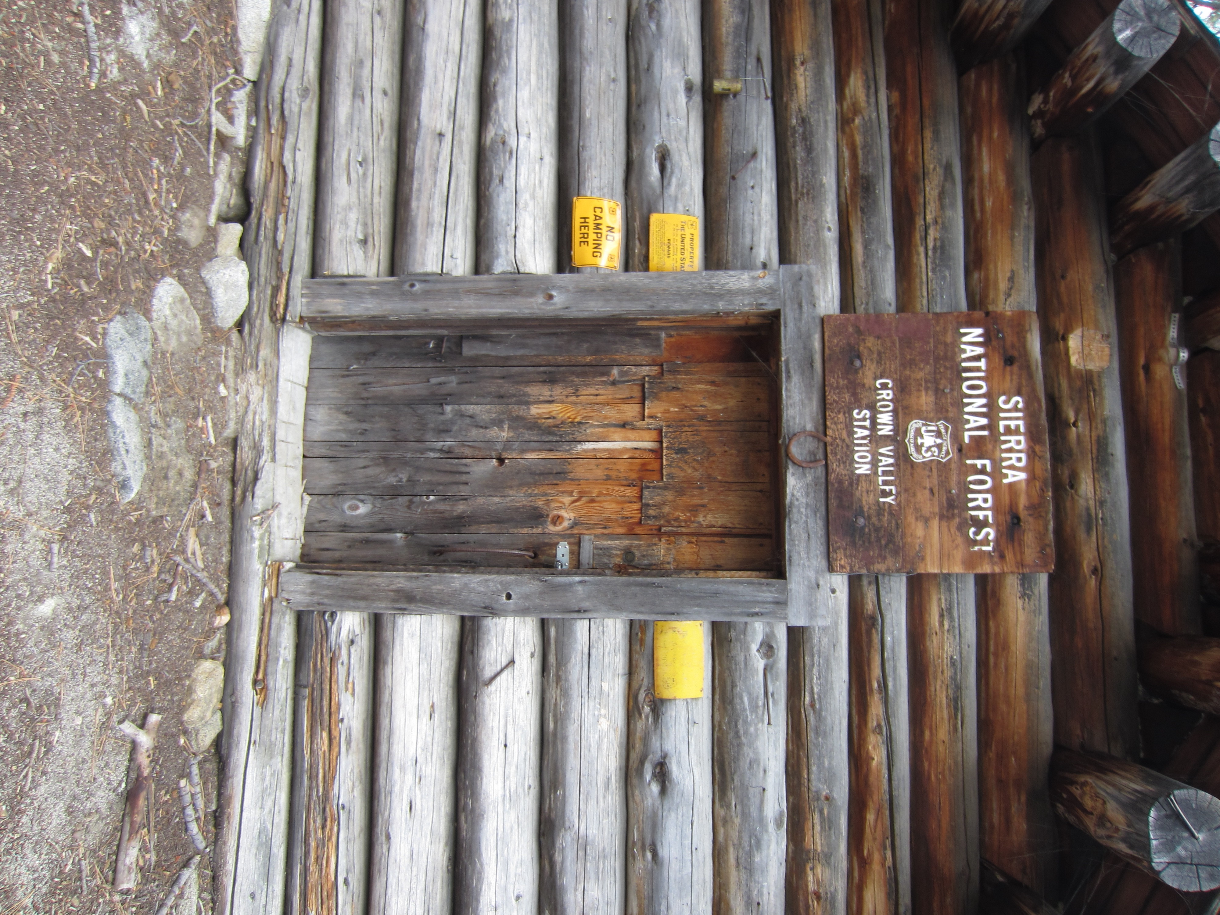
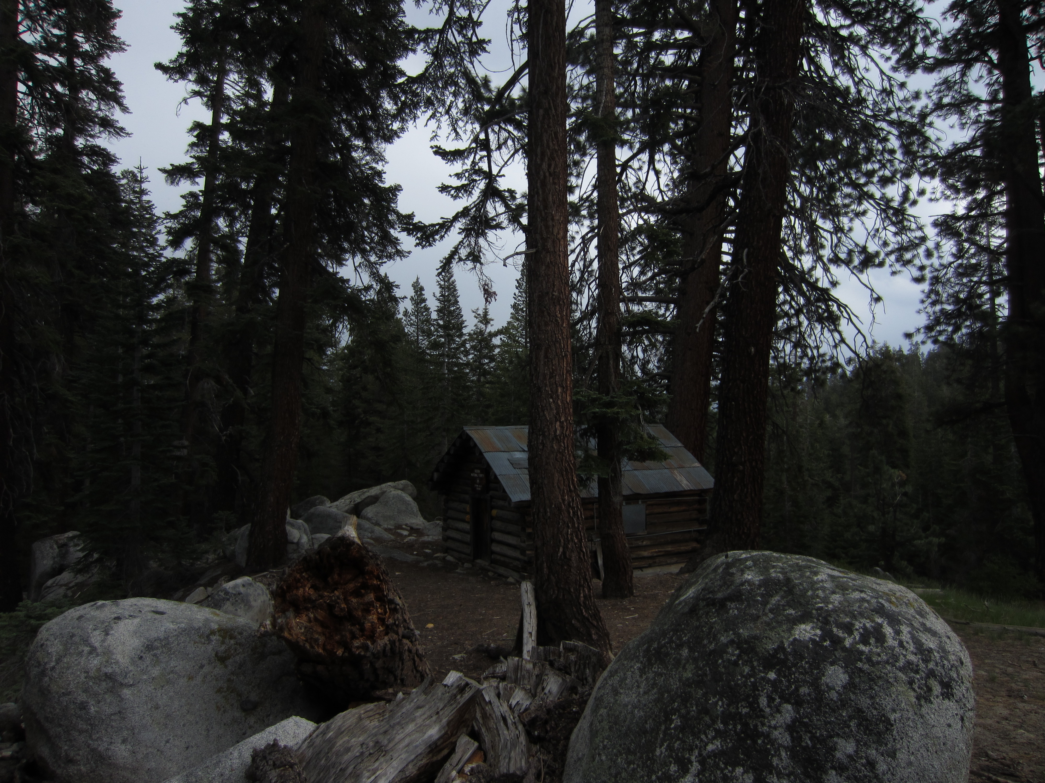
The old USFS Crown Valley Guard Station. My father worked out of here one summer in the 1970s.
The summer of ’75 I was a trail crew foreman (2 of us were on horseback and would be in for 10 days, off for 4), wilderness ranger and fire crew. We maintained all the trails up to the top of Crown Pass. Many of those trails are no longer maintained, like to Mountain Meadow, from Crown Valley to Geraldine, etc. Just as an FYI, the cabin was probably built in 1936. New sill logs, a new floor and new countertop and sink were installed in 1973 by the trail crew. The guys found newspaper stuffed between a couple of the logs as chinking dated 1936. They used 12 handyman jacks, pilfered from USFS rigs in the District to raise the cabin. Then had a big mule to skid new lodgepole logs down the hill.
Dave Van Bossuyt’s recollections of the second guard station build in Crown Valley and other aspects of when he and my mom used to work in the wilderness.
One of our main jobs in ’75, apart from trail work, was cleaning up old deer hunter camps. We cleaned up about 25 of them. Lots of old rust cans and bottles, plastic tarps,, etc. From one camp to the south in the Valley below the Obelisk, we cleaned up 600 pounds of trash, demolished a large rock fireplace that had been built with probably 100 pounds of cement, a burned a large log picnic table. It took to trips on horseback to haul all that garbage back to the Crown Valley R.S.
My wife and I spent the summer of ’73 as wilderness rangers covering Dinkey Lakes, Red Mnt basin, Bench Valley, Black Cap basin and Crown. I was the paid seasonal, Melinda and unpaid volunteer. My instructions for the summer were to hike every trail, talk to everyone we met and give them a wilderness permit if they did not have one, and fish every lake since the district did not know much about the fish back there then. We talked to 1000 people, hiked all the trails, and fished 59 lakes. I was by myself in 1974 as Melinda was running the Dinkey Creek Campground. I would go in for a 5 or 10 day tour. I talked to 1500 people that year. I could hit Red Mnt basin, bench Valley and black Cap in a 5 day tour using xcountry routes to jump from basin to basin.
In 40 years or better of hiking in the backcountry, I think I know of and have used every cross country route.
BTW, I assume you have probably seen the original guard station built in 1917 a ways up the hill from the current one. It is a small cabin that is in bad shape after a big red fir fell on it a number of years ago.

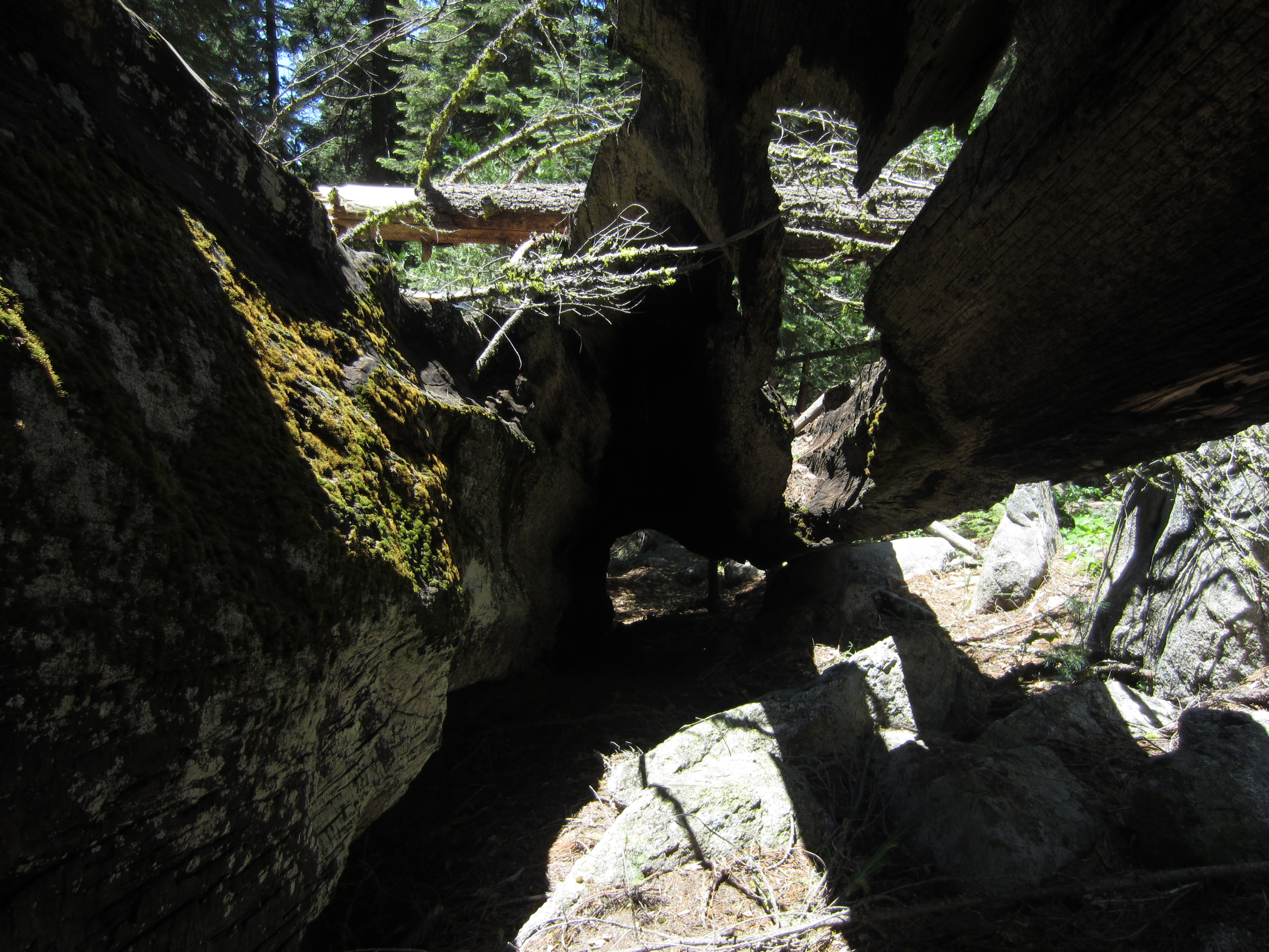
The cabin smelled strongly of something in the weasel family. Maybe a fisher or martin has made this cabin its home. No one has stayed in the cabin in several years.

Exposing the old, forgotten spring that once supplied the cabin with clean, cold running water. We filled up our bottles here.

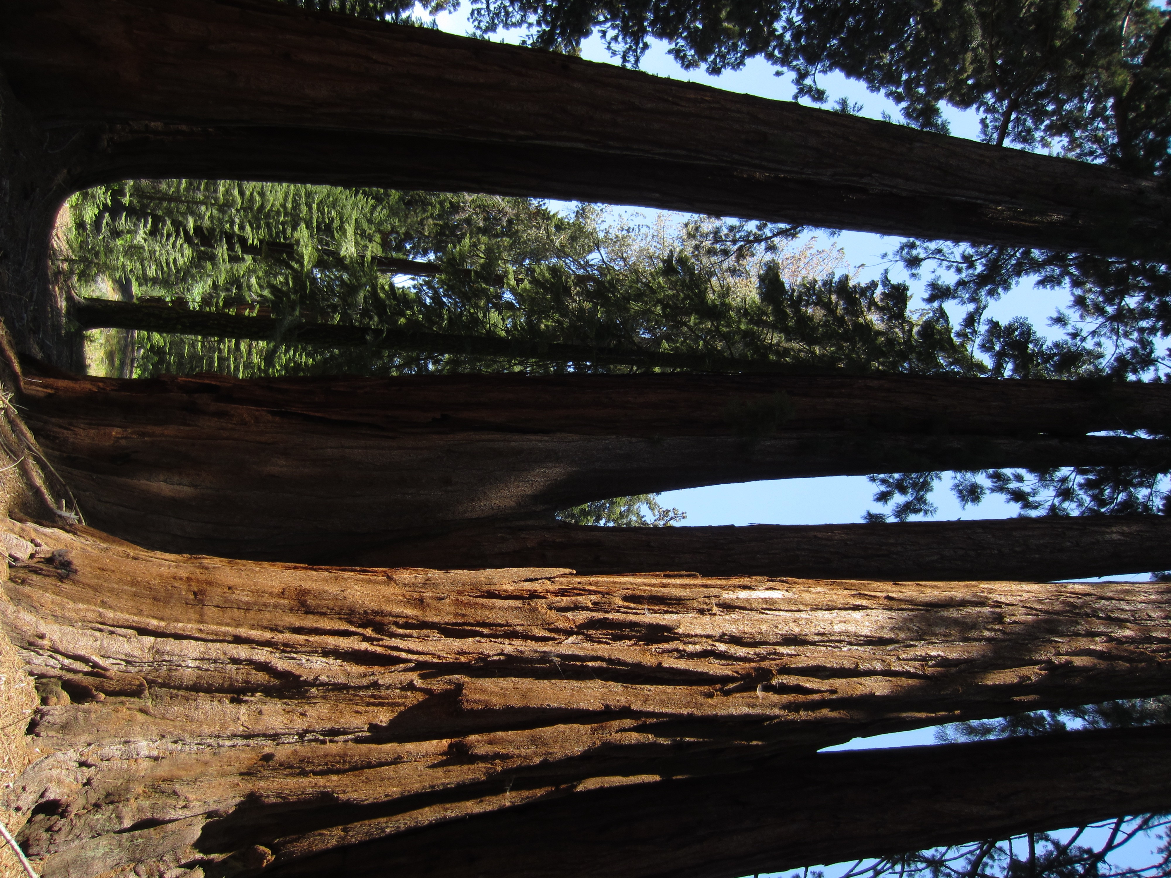
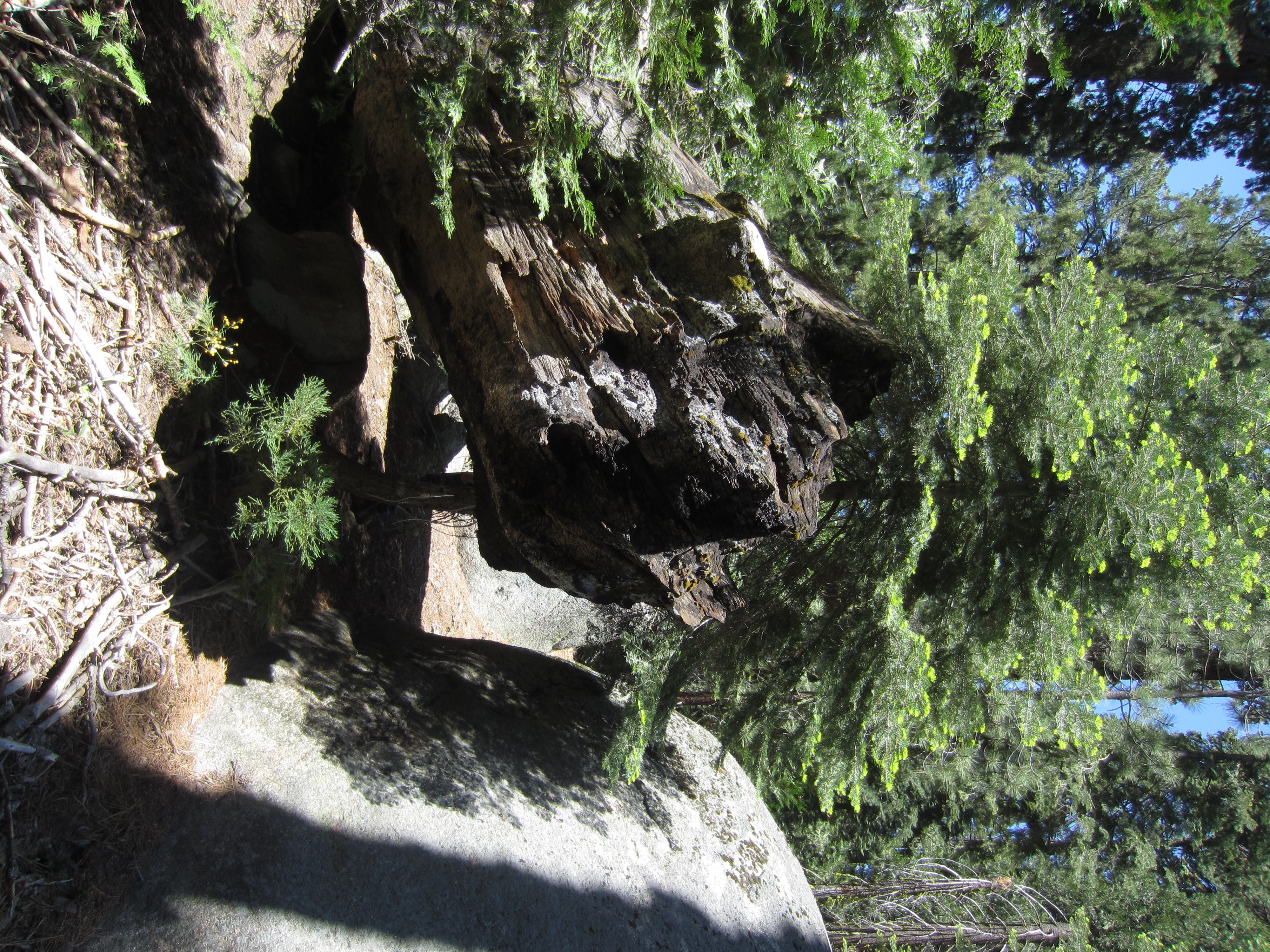
The original guard station cabin was further up the hill. This cabin was crushed by a falling tree several years ago.


