I pulled off US 40 to use a roadside outhouse and found myself looking down onto a frozen Wolford Mountain Reservoir.

Colorado winters make cars very dirty.
 A panorama of the area. There isn’t much happening in this part of Colorado.

The personal and professional website of Douglas Van Bossuyt
On my way west to Oregon, I decided to take US 40 through northern Colorado. To go over the Continental Divide, I had to drive up and over Berthoud Pass. This photo is looking generally north in the direction of Rocky Mountain National Park.
Berthoud Pass sits at 11,307 feet above sea level.
There are those big Rocky Mountains in the distance.
The mountain to the east of Berthoud Pass has what looks to be a large telecommunications complex on the summit. It appears to be mostly a microwave facility.
Just like on Loveland Pass, Berthoud pass has the traditional back country skier warning signs about long range weaponry.
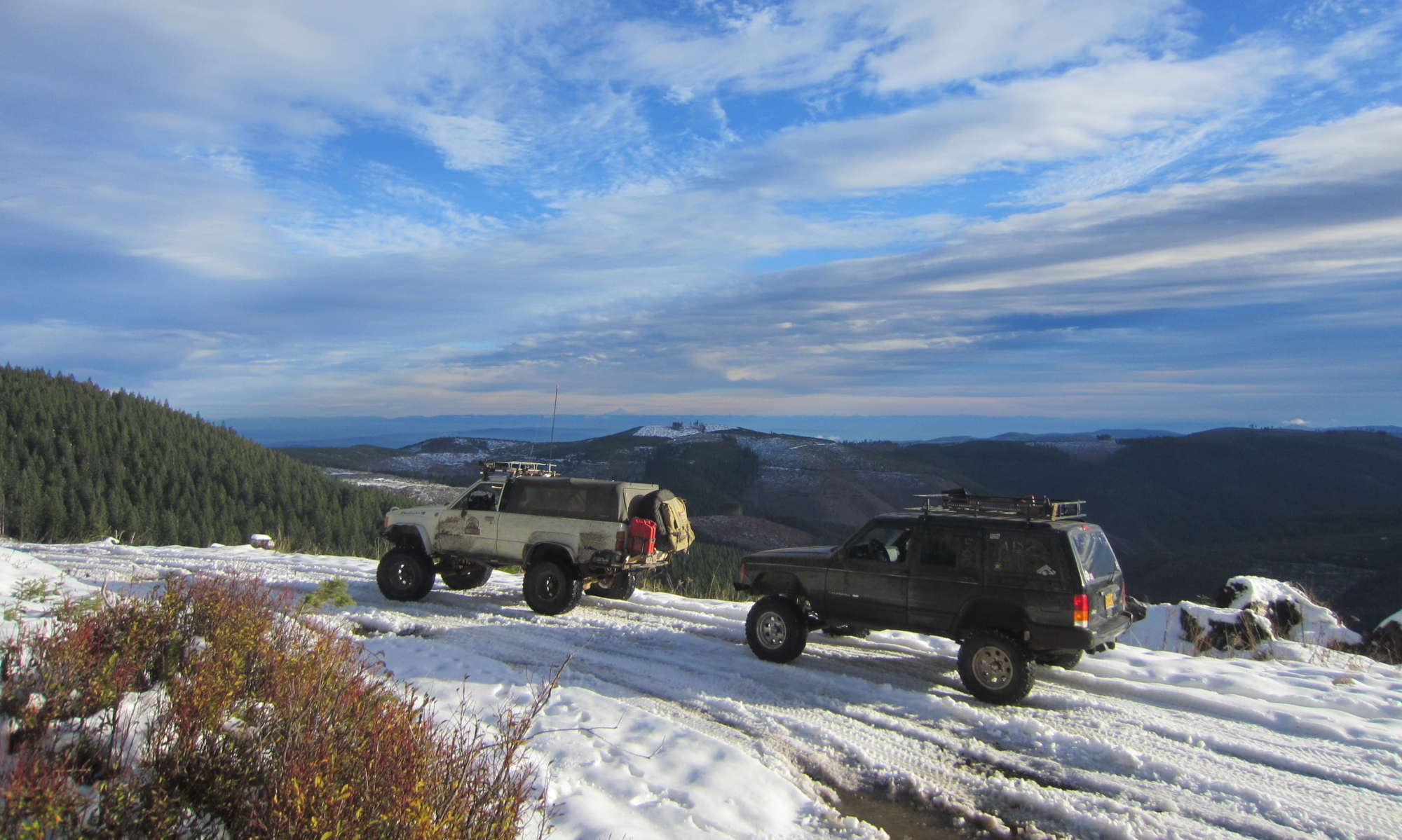
My car waiting for me at the summit.
 Panorama from the summit looking to the north.
The last week has seen Golden in an incredible cold snap. Clear Creek has been a solid sheet of ice for several days. Yesterday evening, low-lying areas were evacuated when an ice dam further up on the creek broke. No damage was done but it shows how easily the normally placid creek can quickly change into a raging torrent — even when frozen.
There were several large holes in the ice. The sound of running water could be heard underneath. The creek is still active under its icy cap.

Had it not warmed up when it did, I suspect that the ice would eventually have forced water into the local library and other community buildings on the north side of the creek.
A big hole in the ice.
Looking south toward the historic buildings.
Coors Brewing is in the path of any flood that comes down this creek. The walkway along the creek that is usually clear for runners and walkers is under a significant sheet of ice.
The river play area is under ice.
The Washington Street Bridge with ice built up around its base.
Looking toward the north bank near the historical buildings.
Heather looking at the ice.
If someone were to walk out on the ice, there is a good chance that they would fall through and end up drowning.
A big hole waiting for something to happen.
The ball parks are under a sheet of ice from where the creek overflowed its banks.
After checking out Clear Creek, Heather and I went over to Mountain Toad Brewing and found that they had Capt’n Crabby as the food cart. It’s a rare treat to find good crab cakes this far inland.