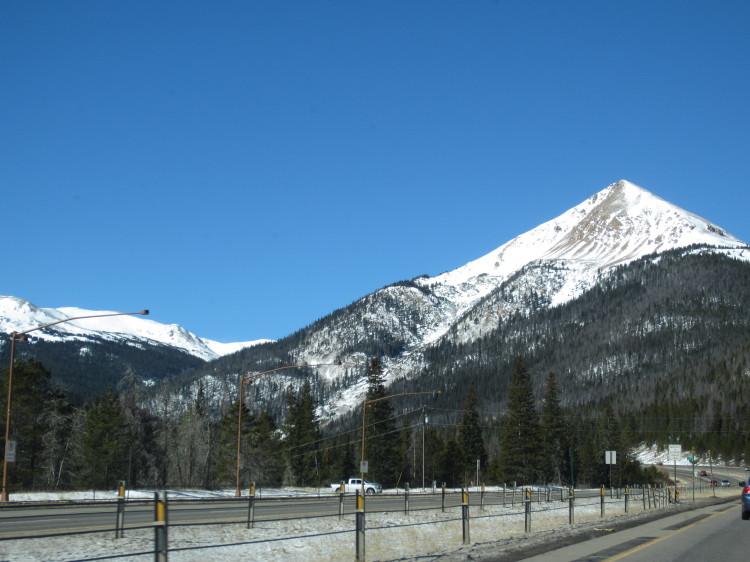
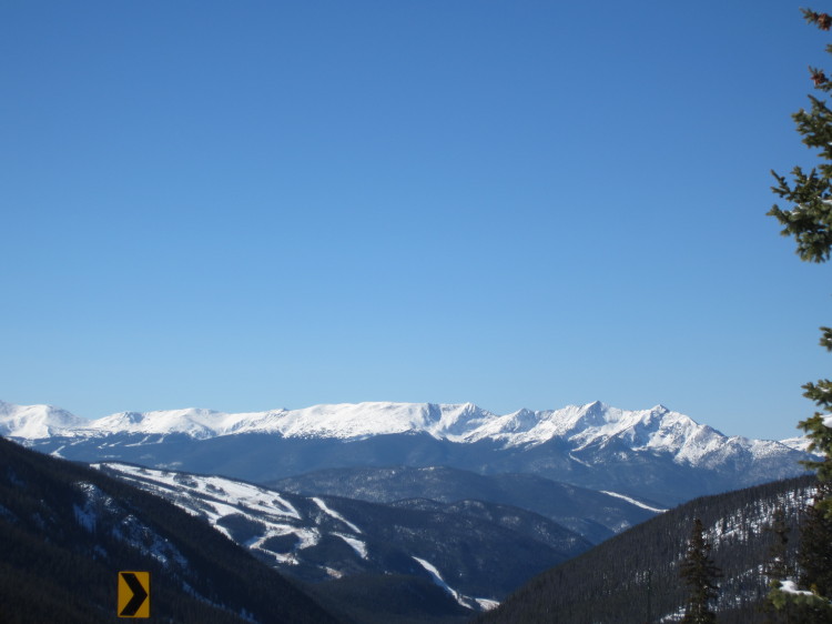
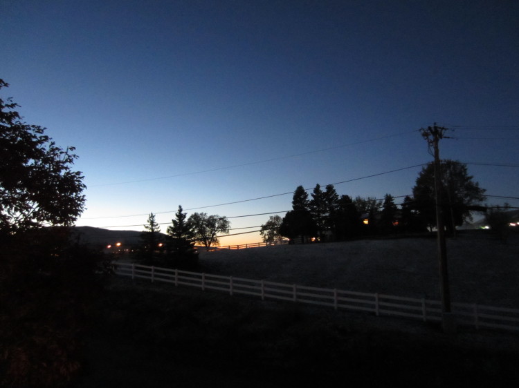
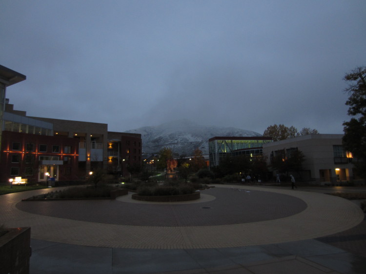
Heading up out of Breckenridge on the way to Boreas Pass, we spied snow being blown over the crest of one of the mountains that looks down on the ski resorts that are the lifeblood of the local economy.
A reservoir above Breckenridge.
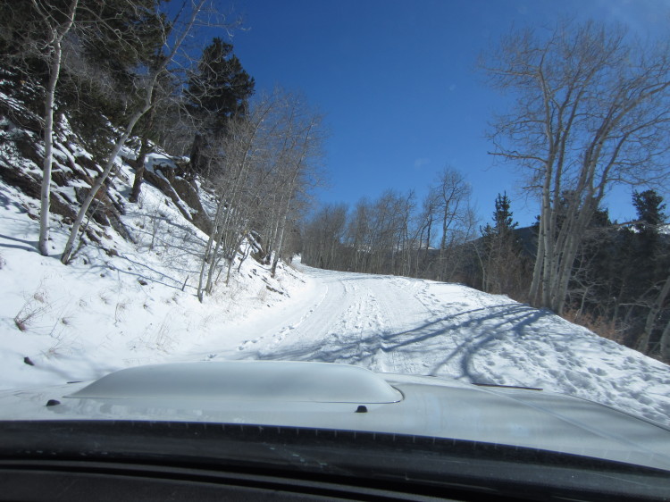
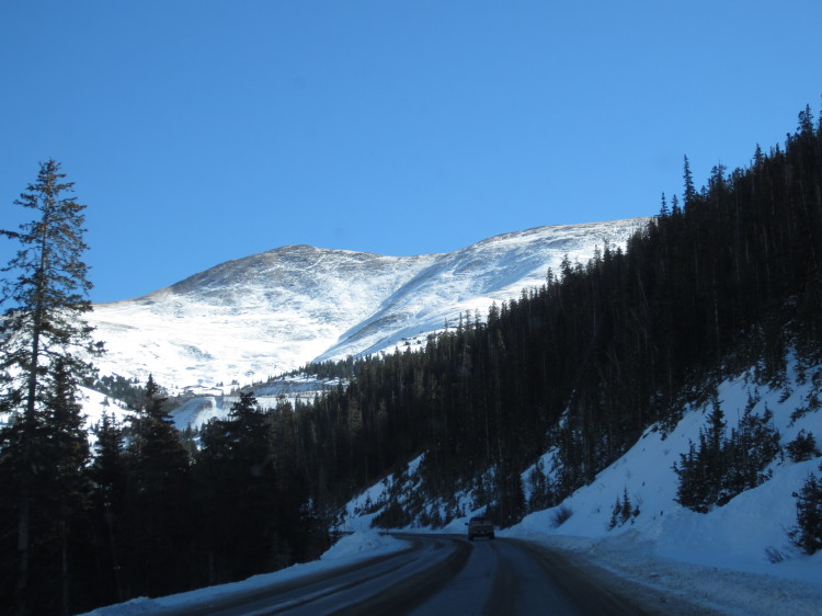
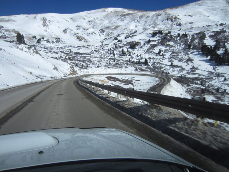
Heading up Boreas Pass. The road is an old railroad bed from when the steam engine was king of Colorado.
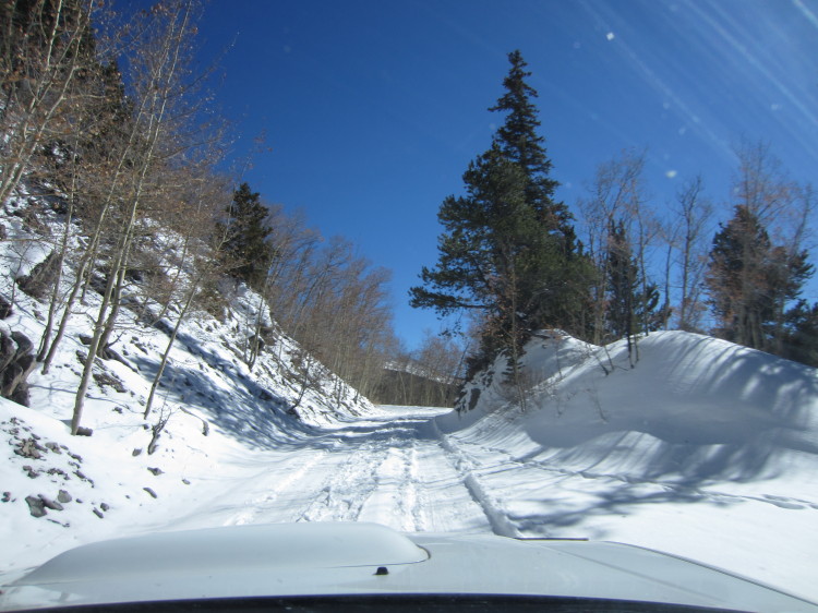 The snow got progressively deeper the higher we went.
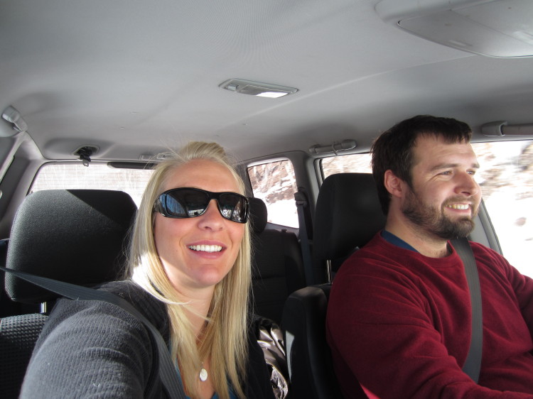
In the car heading uphill.
Bakers Tank at Mile Post 102.16 on the Denver, South Park and Pacific Railroad. The line was narrow gauge.
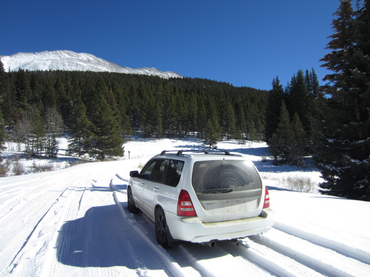
My Subaru in the snow.
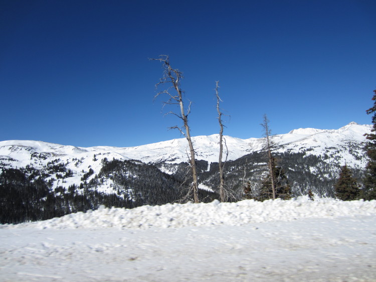
Deeper snow was in the shadows and along the north-facing slopes.
Deeper still.
The summit is the low spot to the right in the photo.
The pass is in sight.
There were several pickups and 4x4s pulled up along the side of the road in a few spots. Evidently a hunting season of some sort was opening very soon and everyone was waiting to go.
It was fortuitous that there were people stopped on the side of the road with big pickups as we ended up getting stuck in the snow a half mile from the summit. I had Heather take the wheel as I worked with two guys and their pickups to use a chain to drag the Subaru out of the deep snow and back onto a good part of the track.
We decided to park the car a half mile from the summit just below where we got stuck and walk the last little bit. Our original intent had been to go over the pass and down the south side but rather than test our luck with deepening snow on a lowered Forester in need of new winter tires, we decided that a walk was a better plan.
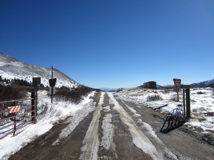
At the summit. The south side of the pass had very little snow on it thanks to more sun during the day.
An old boxcar that is open in the summer as an interpretive center.
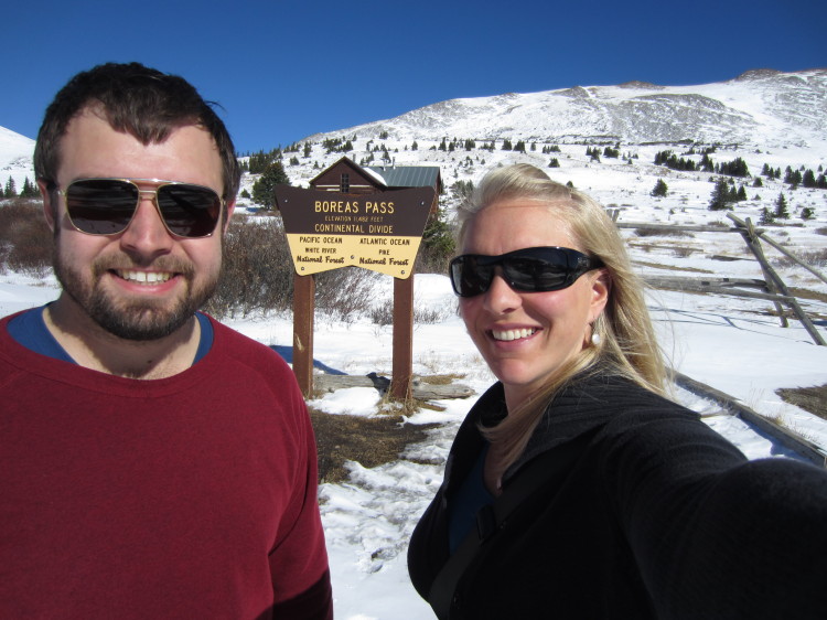
Boreas Pass on the continetal divide. The elevation is 11,482 feet at the pass.
Old cabins used by the railroad are now Forest Service cabins where rangers live in the summer and that can be rented in the winter months by travelers.

A panorama at the top of the pass.
On the way down I worked on breaking the center ridge in case other cars tried to go this way that weren’t as tall as the big pickups.
Heading back down toward Breckenridge. When the snows melt next spring, I will be back to drive over the pass and complete the journey.


