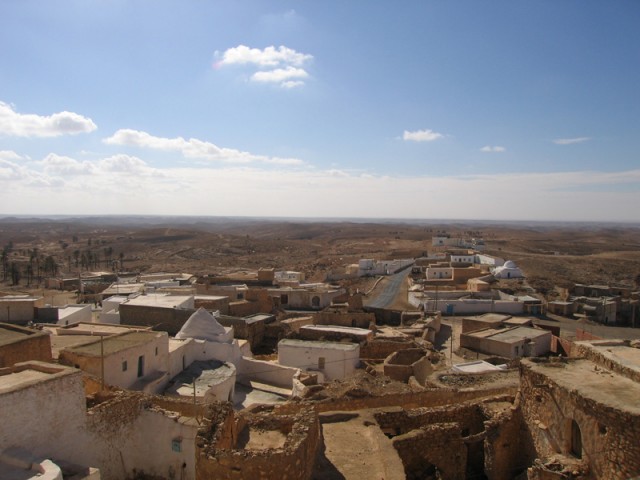
The Berber village of Tamezret.
Our bus.
Our guide throws a water bottle.
Our bus driver feeds a baby camel.
Luke Skywalker’s Aunt and Uncle’s house.
A WWII relic near the House of Fatima.
A German ammo box.
Another German drum.
Yet another.

The personal and professional website of Douglas Van Bossuyt

Tamezret

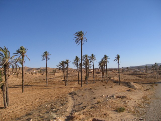
Around Haddej

Toujane. It’s a beautiful town.

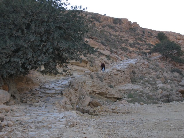
Yup, that’s right! That’s a Roman road! It climbs right up through Toujane and up over the mountain. That thing is still in pretty good shape considering it’s close to 2000 years old.

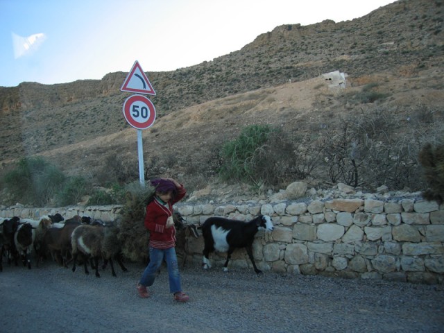
Goats on the move.

Women on the move, too.
Tamezret is a Berber village east of Matmata by twenty or so kilometers. Originally, all of the houses were built into the mountain using all native material which made their presence nearly invisible until you were in among the houses. To make the town even harder to spot, all of the chimneys were linked together and the smoke was sent all the way to the bottom of the hill which allowed the smoke to disperse at a lower elevation where it’d be less likely to be spotted. As a last resort, every house was connected to a tunnel network that allowed residents to escape if attacked by a rival village or a marauding band of Europeans.
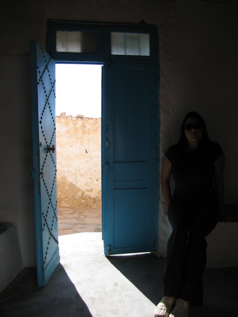
Our band of mostly Europeans was in Tamezret to visit a small museum built in a traditional Berber house.
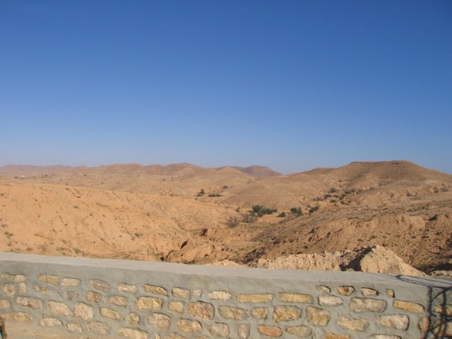
On the way to Tamezret. This land looks dead, but because of all the check dams, it can be fairly fruitful.


We were welcomed by the local goat herd going to pasture. The guys watching the goats were going through the village calling the goats out from their houses. The goats would run out from their houses with their tails wagging, happy to be going out into the barren hills to look for a few blades of dead and dried grass. Each goat knows exactly where it lives and when it comes back in at the end of the day walks back to its house on its own. Otherwise, there would be no way to tell who owns what goat!

A sign on one of the distribution power poles in town. In less harsh environments, these signs usually have a layer of black and red enamel to emphasize the death and destruction hovering a few meters above. I guess that the cost of wood outweighs the risks of children climbing on these open lattice power poles! I think I’ve only seen maybe ten wooden poles in the entire country. Wood is at a premium here – especially straight wood.



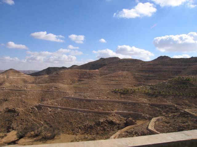
The government has started installing these rock walls all over the hillsides as a place to plant eucalyptus trees for fuel wood. You might have been able to tell from the pictures that there are absolutely no trees that can be harvested for wood anywhere in the region. The closest forests are maybe six hundred kilometers to the north and those are mostly cork oak forests!