The Kerkennah Islands

I went one weekend to the Isle of Kerkennah with two of my British and one of my New Zealand Friends. The weather was a bit rotten though so I didn’t stay but one night before trundling off to the next location.

IMG_7727

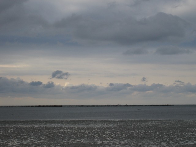
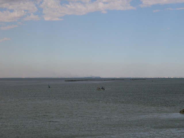
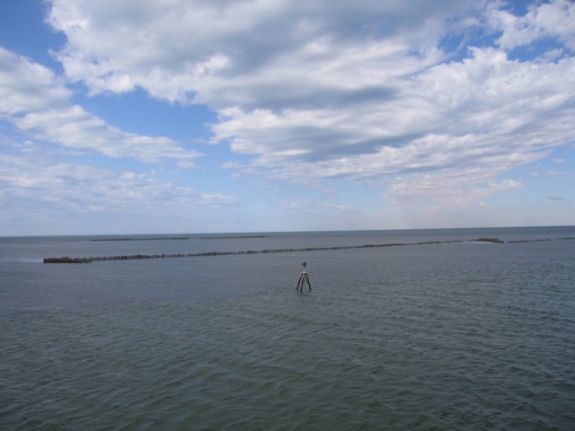
Fishing traps in the shallows off of Kerkennah. They’re made out of palm fronds in the form of long V shaped fences that neck down and then open up into a round pen where the fish can be easily caught.

IMG_7728

IMG_7730

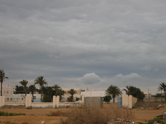
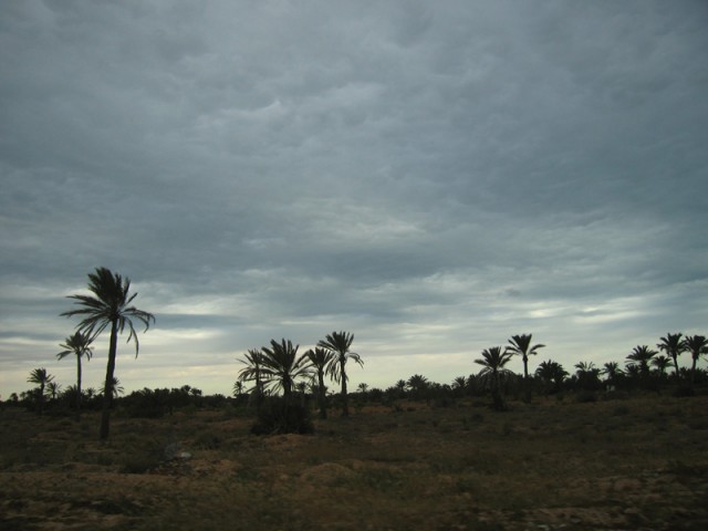
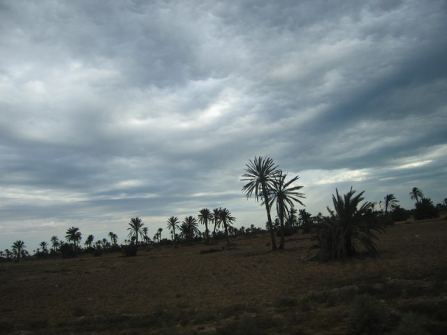
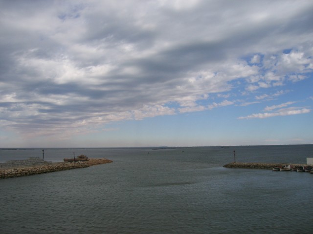
Most of the island looked like this.

IMG_7732

IMG_7733

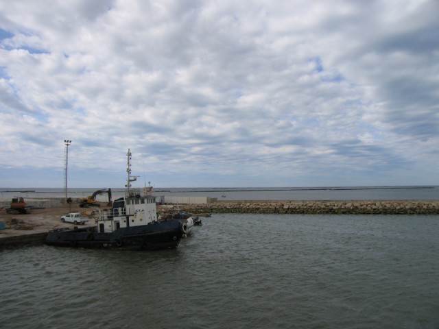
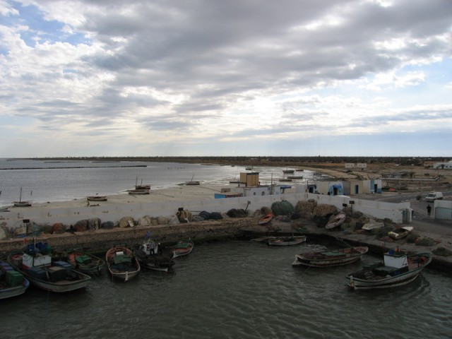
The harbor of Kerkennah.

IMG_7734

IMG_7735

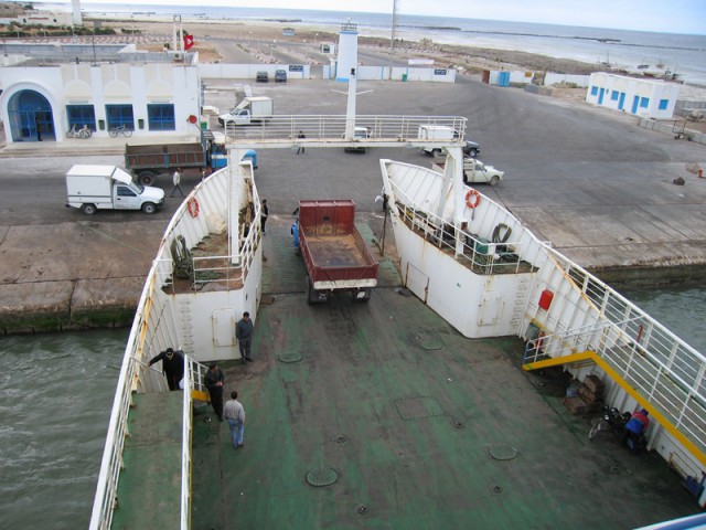
Loading vehicles onto the ferry back to the mainland. It was about a 15 kilometer journey across.

IMG_7737

IMG_7739

Sfax off in the distance.

IMG_7741

IMG_7743

IMG_7745
A man-made mountain of radioactive phosphogypsum tailings which finds its home just south of the Medina at Sfax. There’s a large phosphate ore processing facility located in Sfax. It’s the most polluted place in all of Tunisia and one of the largest single point sources of pollution in the Mediterranean Basin.

IMG_7747

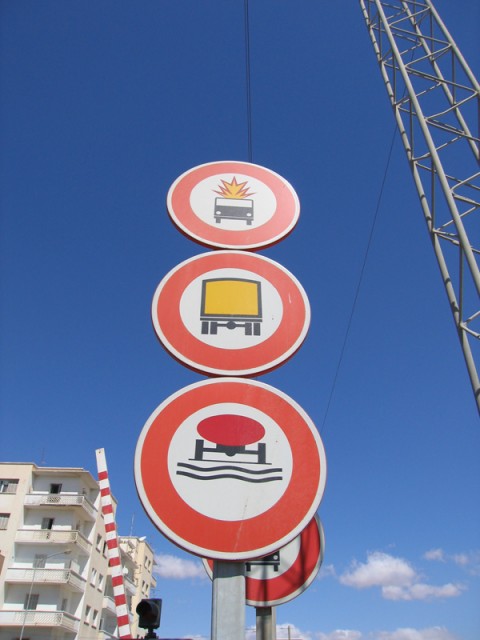
Exploding vehicles, yellow trucks and tanker trucks with red liquid driving over ruts.
IMG_7748
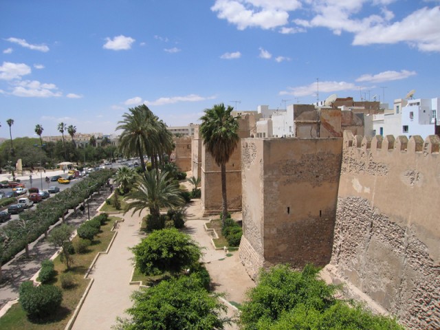
On top of the medina wall in Sfax. The Sfax medina is by far the best preserved and least touristy medina in all of Tunisia.

IMG_7751

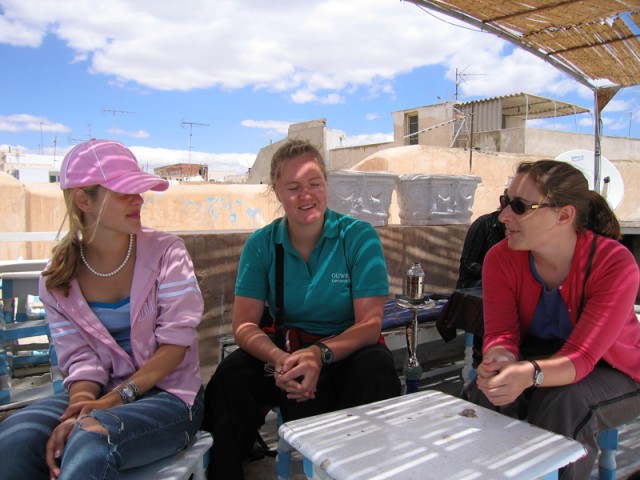
My three mates. Left to right: Francesca, Claire, and Tish (the Kiwi!)
Assault on Jebel Bou Kornine

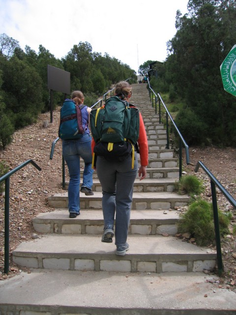
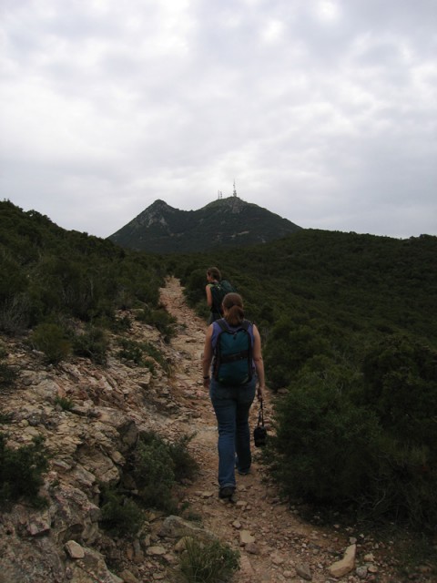
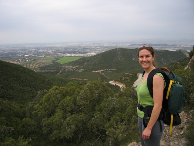
Marie, her roommate Tish hailing from the land of the kiwi, and I went on a little mountain trek. Jebel Bou Kornine (Two Humped Mountain) is a national park just 20 minutes south of Tunis on the commuter train. It should be noted that almost without exception, all national parks in Tunisia double as military bases of the most secret and sensitive nature. We managed to really surprise some military recruits when we showed up at the summit! Despite our pleas, we were not allowed to ascend the last 100 meters to the summit of either hump due to the large military and civilian radar and radio installations. Maybe next time.

img_6458

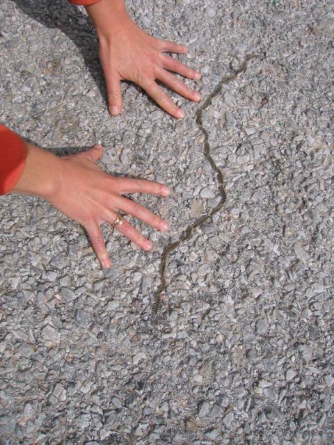
Caterpillar train on the move. Marie’s hands.

img_6459
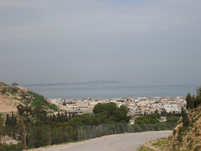
View toward Sidi Bou Said and Carthage.

img_6460

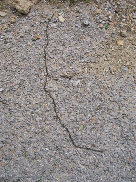
Another particularly long one.

img_6461

img_6463

img_6464
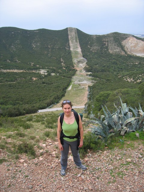
Marie standing in one of the many fire-breaks that cut through every Tunisian forest to ensure complete fire protection.

img_6465

img_6466

img_6469
We spy our target.

img_6471

img_6473

img_6475

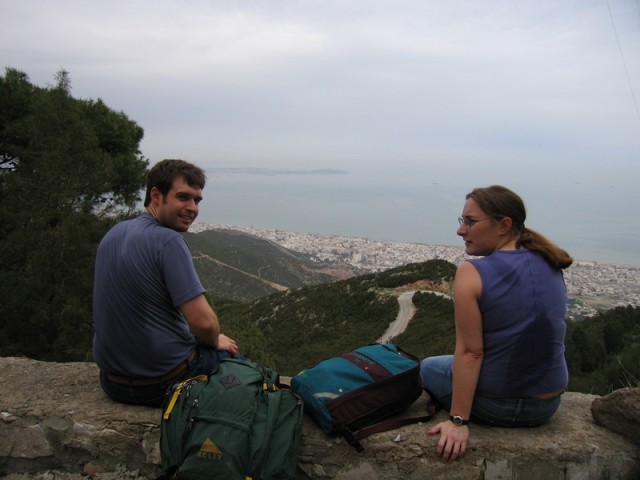
Break for lunch.

img_6476
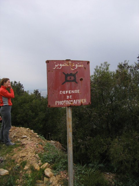
The Arabic and French say “Photography Forbidden.”

img_6477

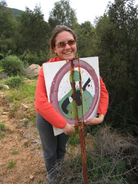
We love the Tunisian army!

img_6478
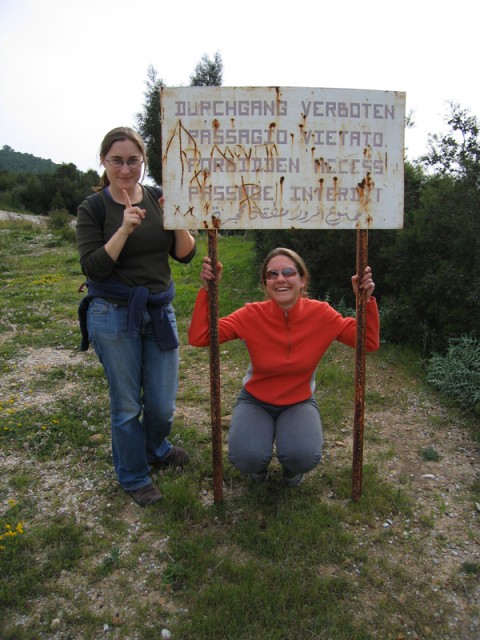
We sort of missed this sign hiking up. They should really put warning signs on the trails! This sign was on the road that goes to the top of the mountain and the military installation at the summit.

img_6479

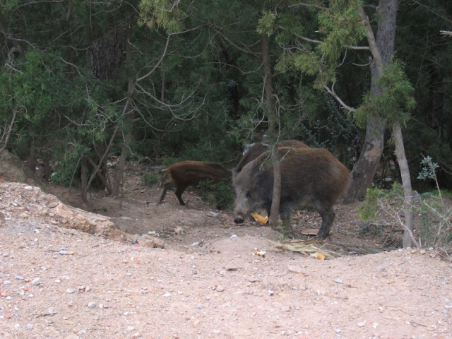
Right at the entrance to the park there was a pack of wild boar being fed bread by some Tunisian men. From the looks of it, these boar seem to hang out around the parking area most of the time to take advantage of all of the free bread.

img_6480